Trail Name: Klevener de Heiligenstein
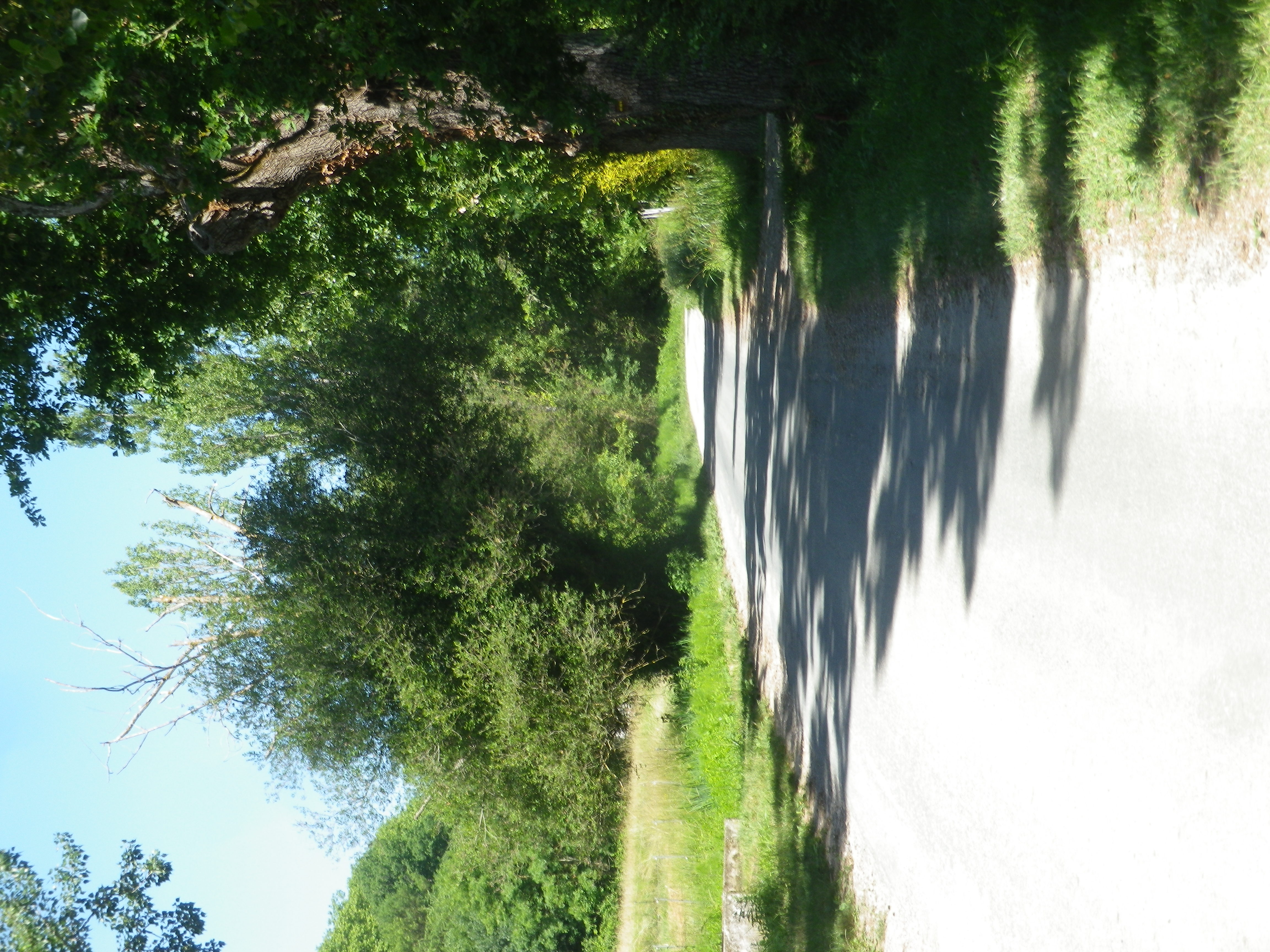
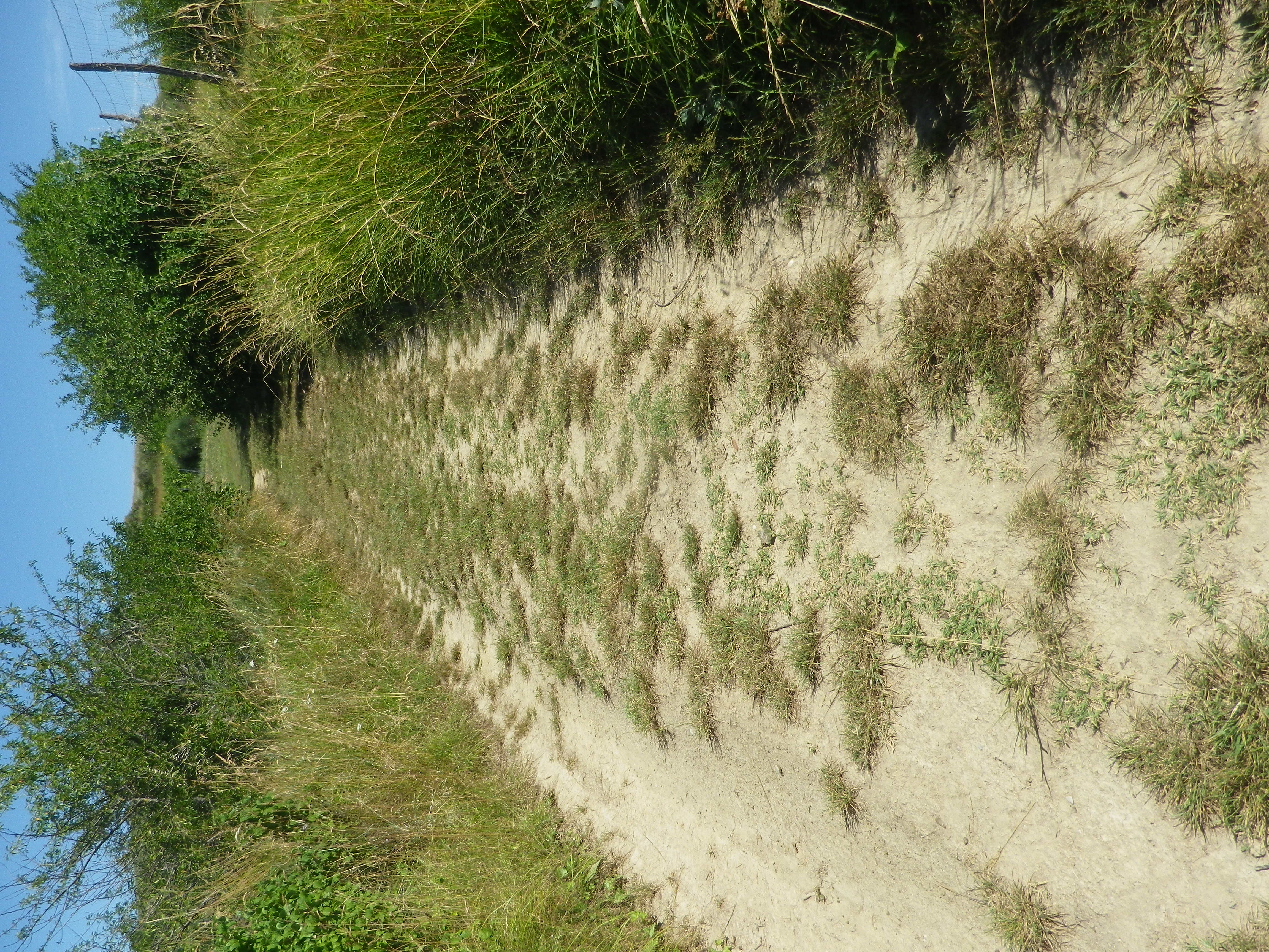
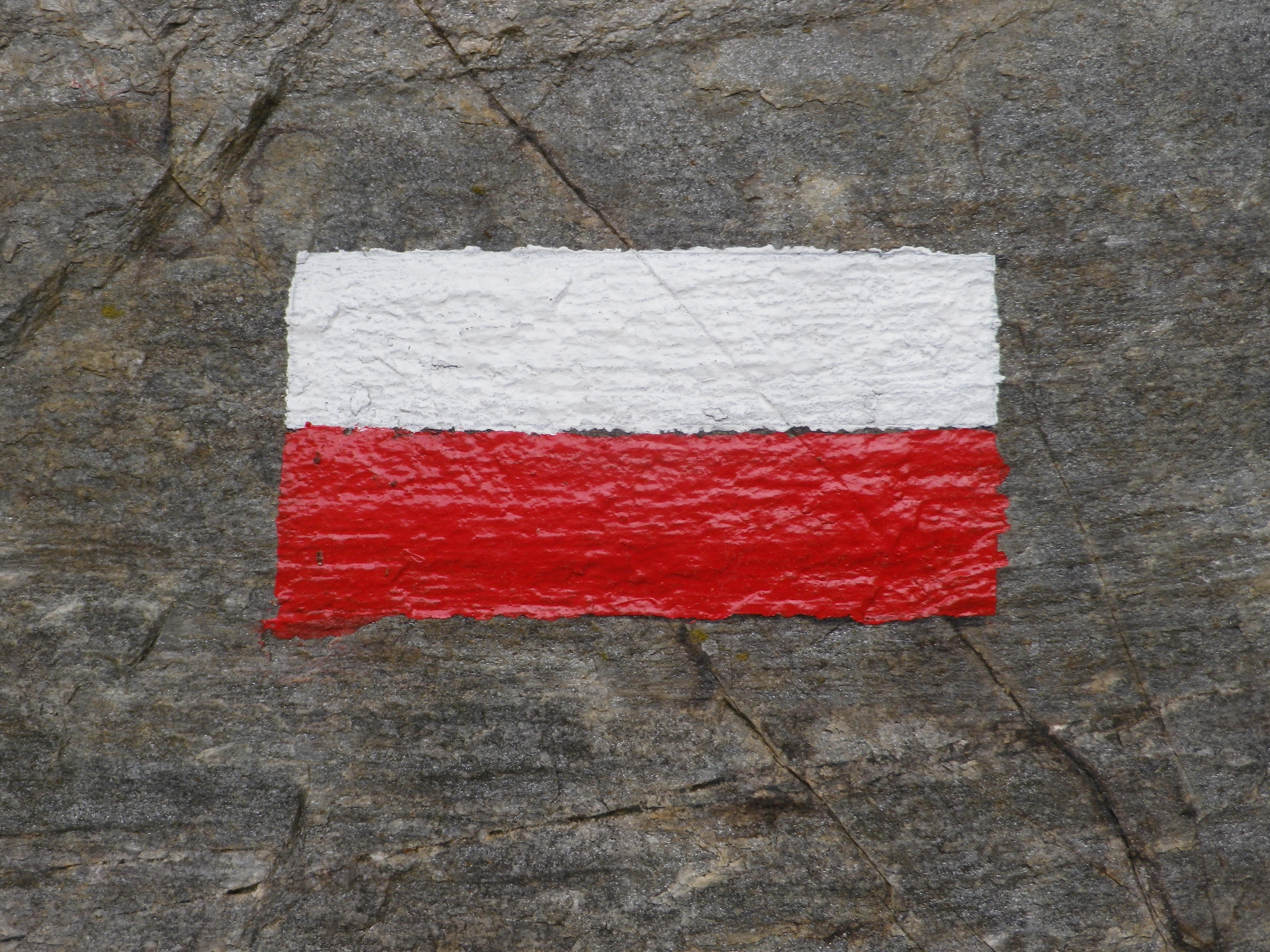
Trail Type: A short distance circuit; well-maintained and much of it paved or hard-pack, marking on the trail varies.
Length:
Total – 7.5 kilometers/ 4.7 miles
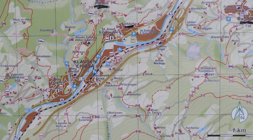
Convenient to: Barr, Alsace, France
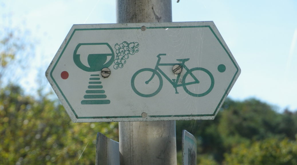
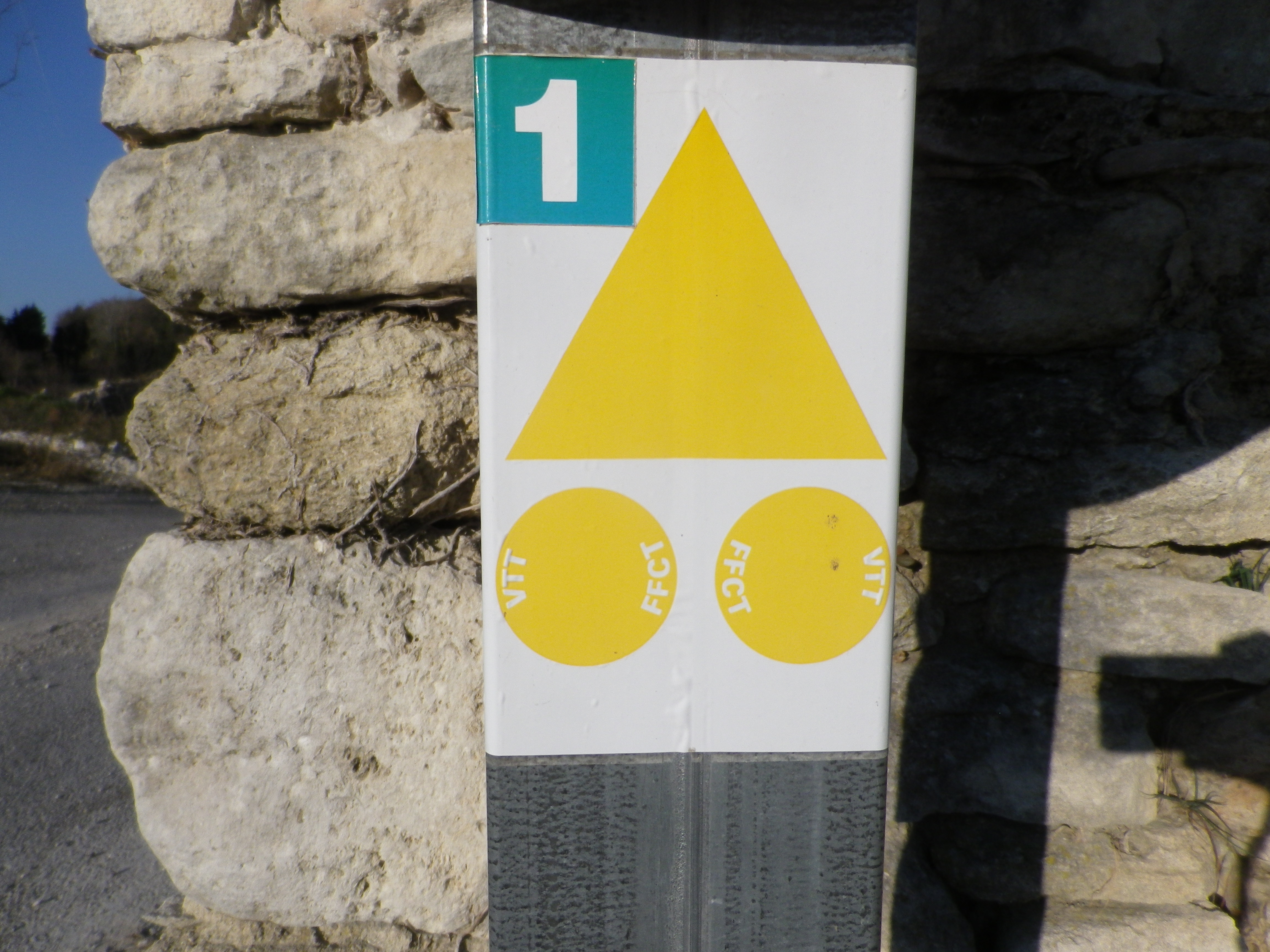
Marking:
Varied, and none specific to the circuit
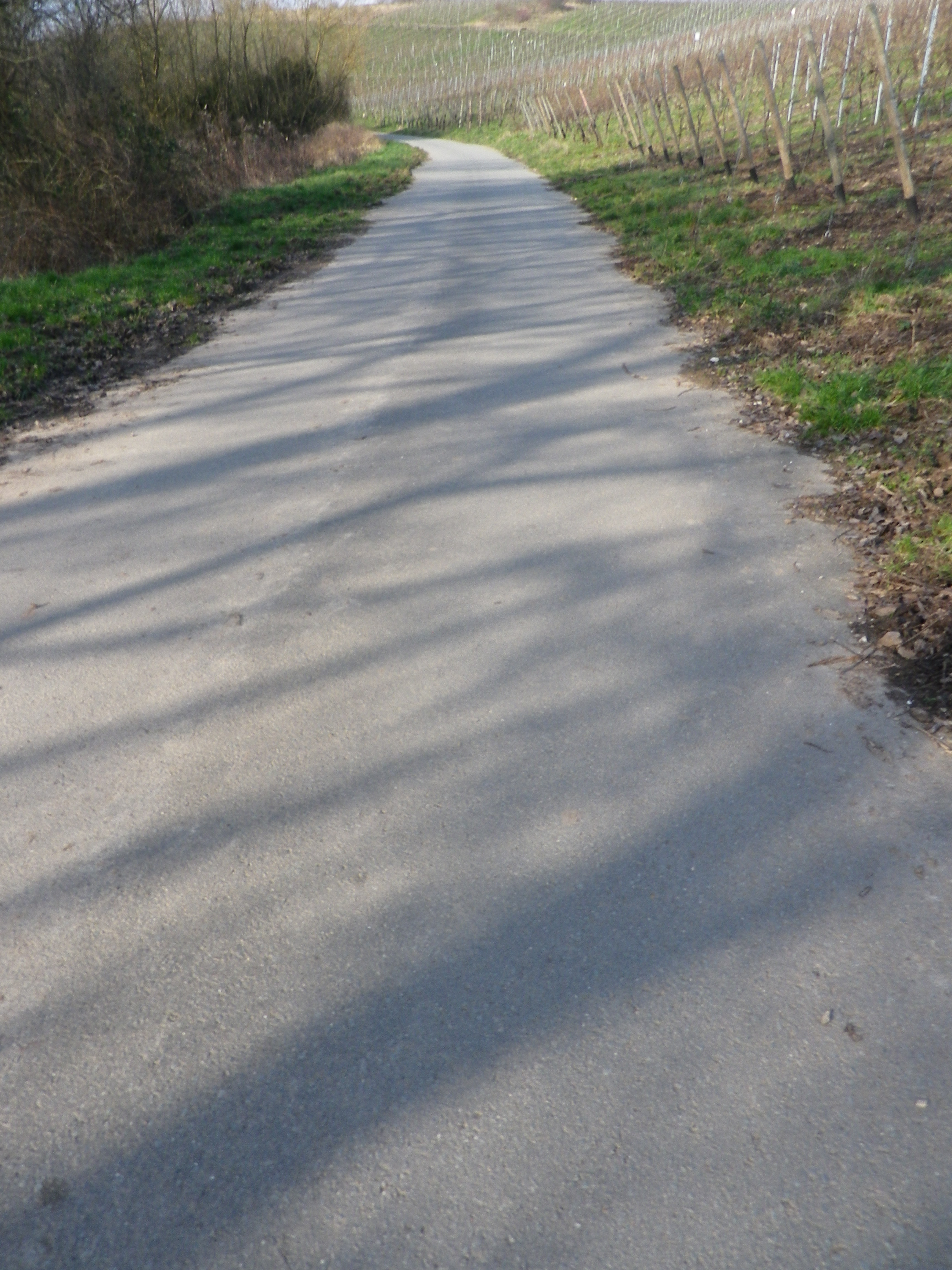
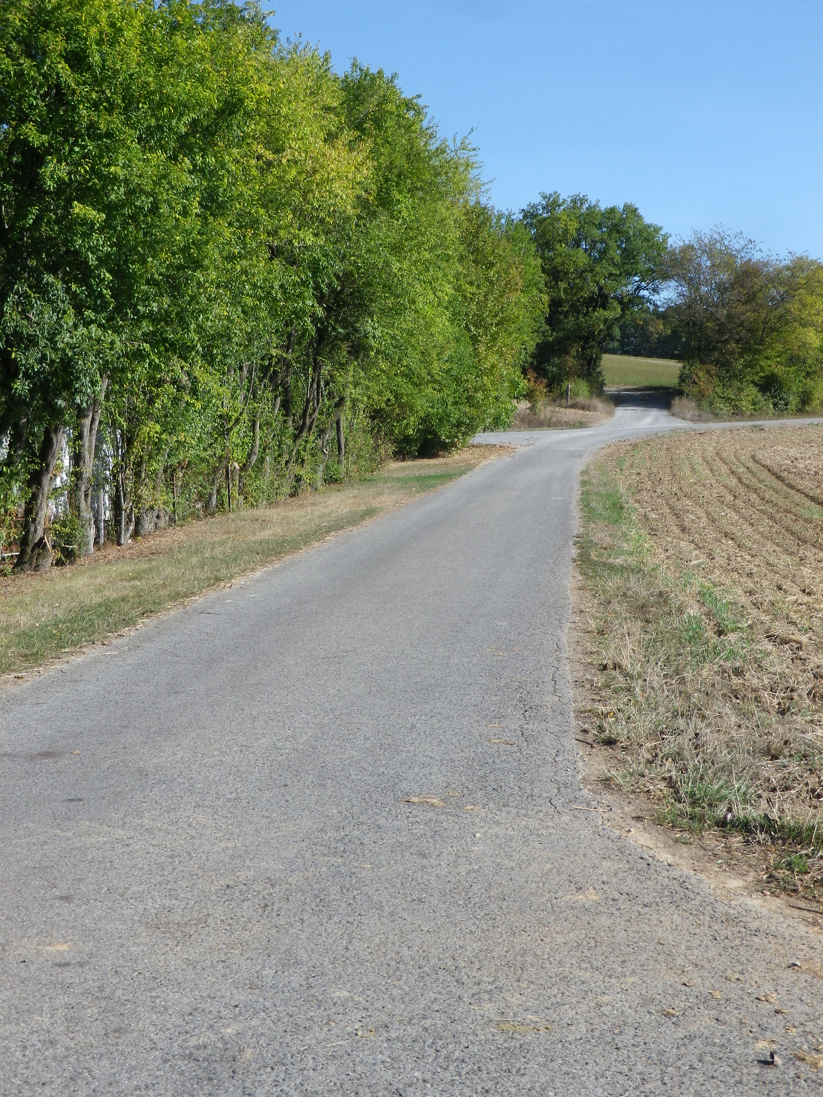
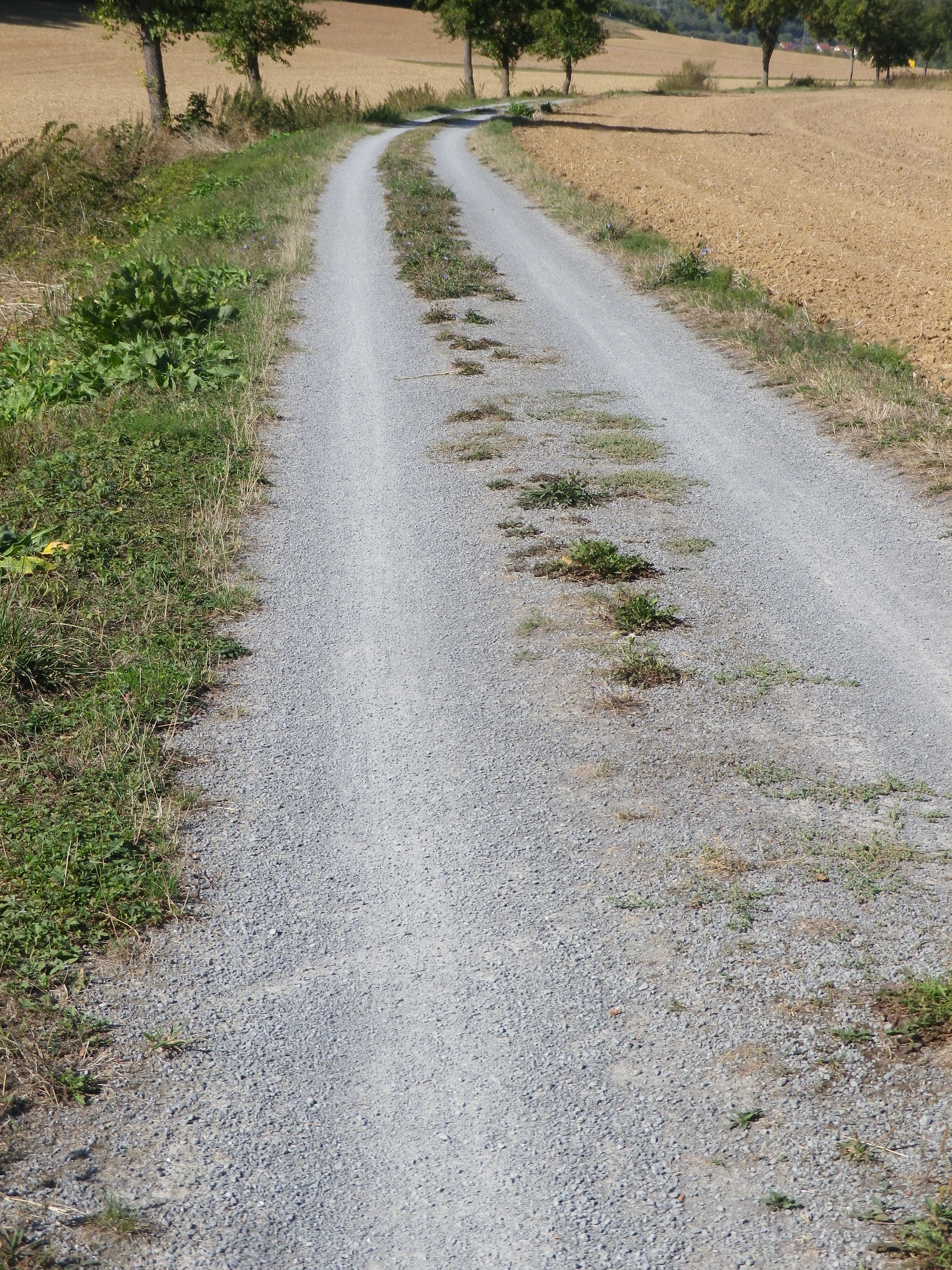
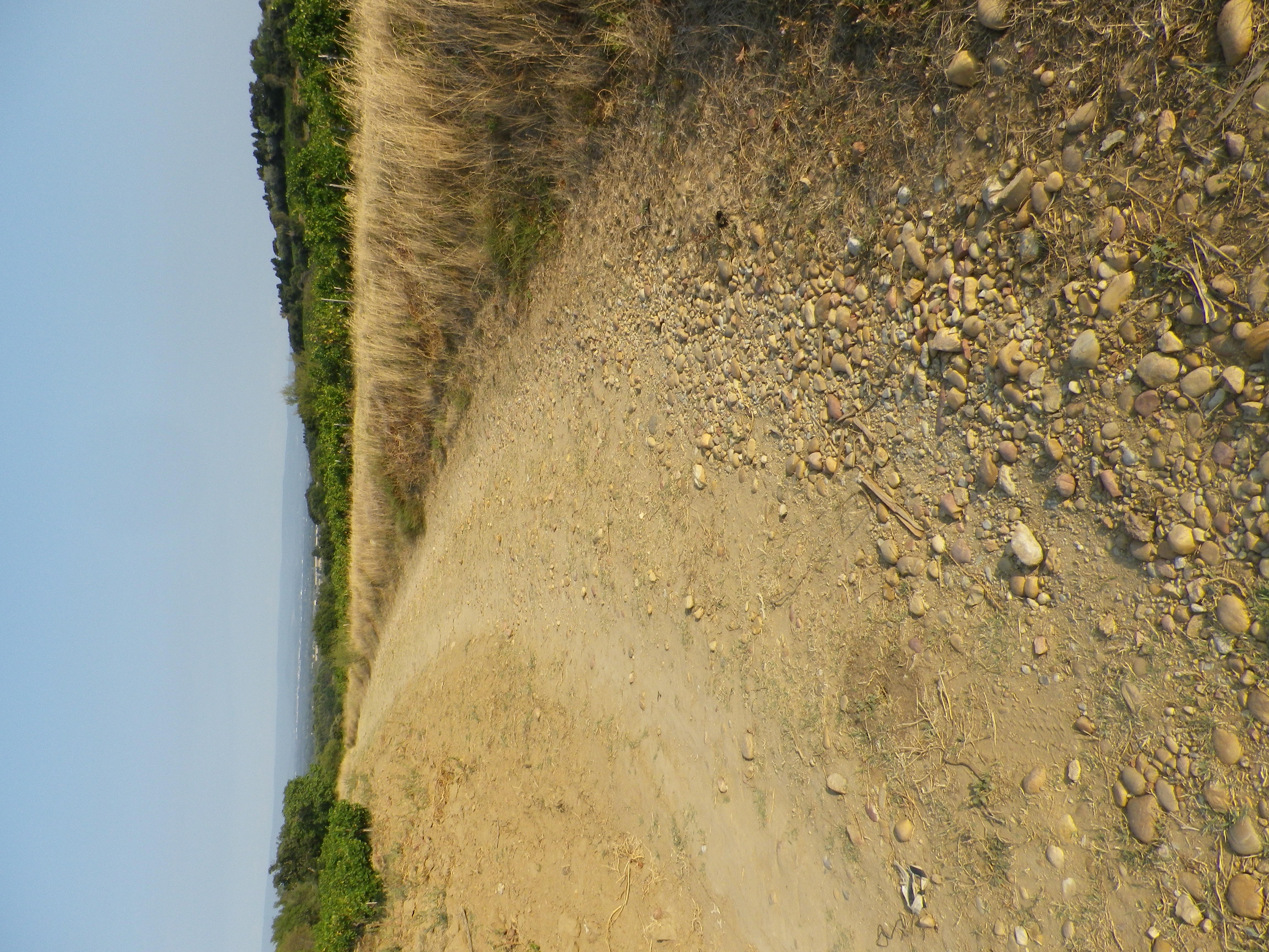
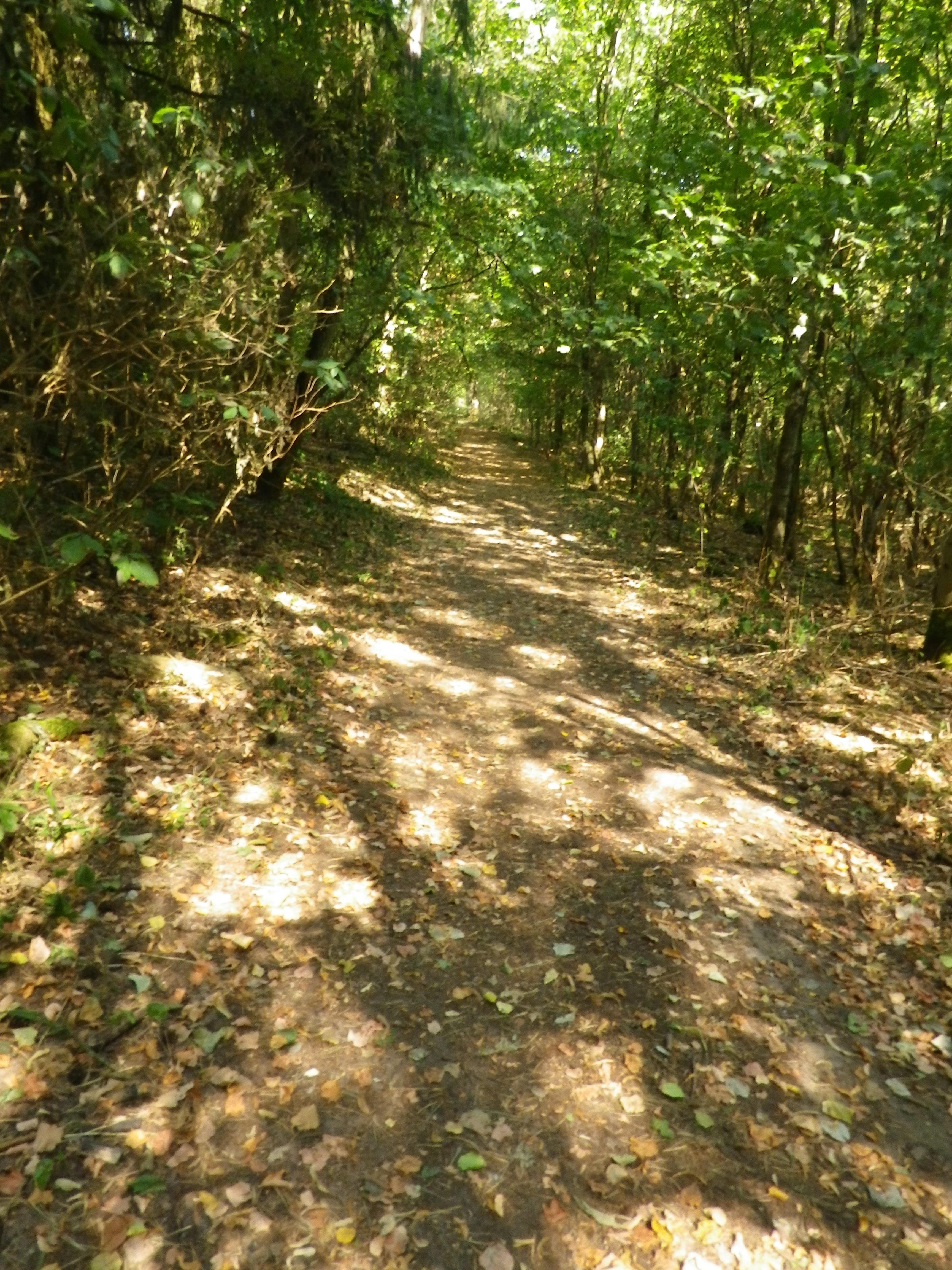
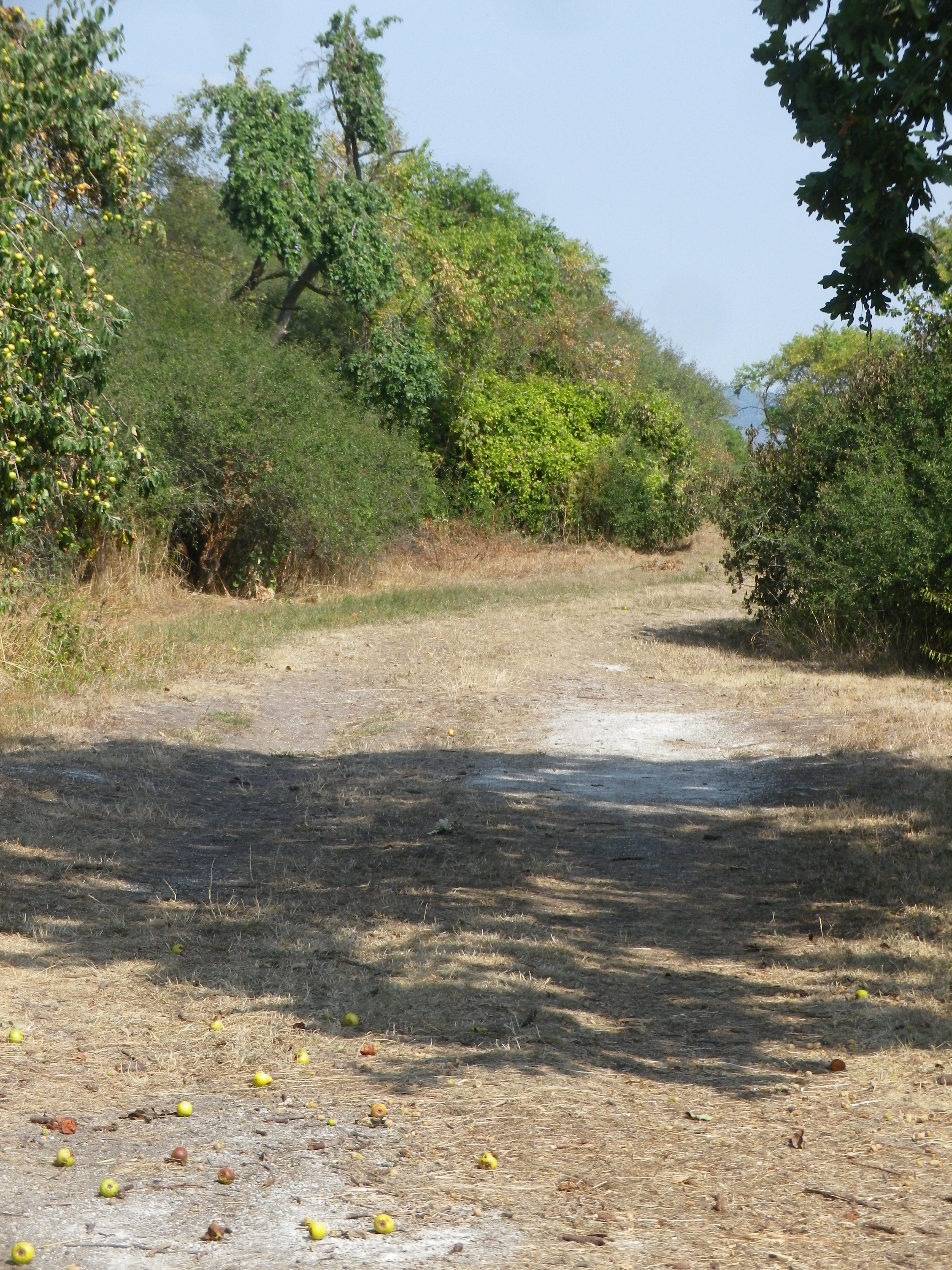
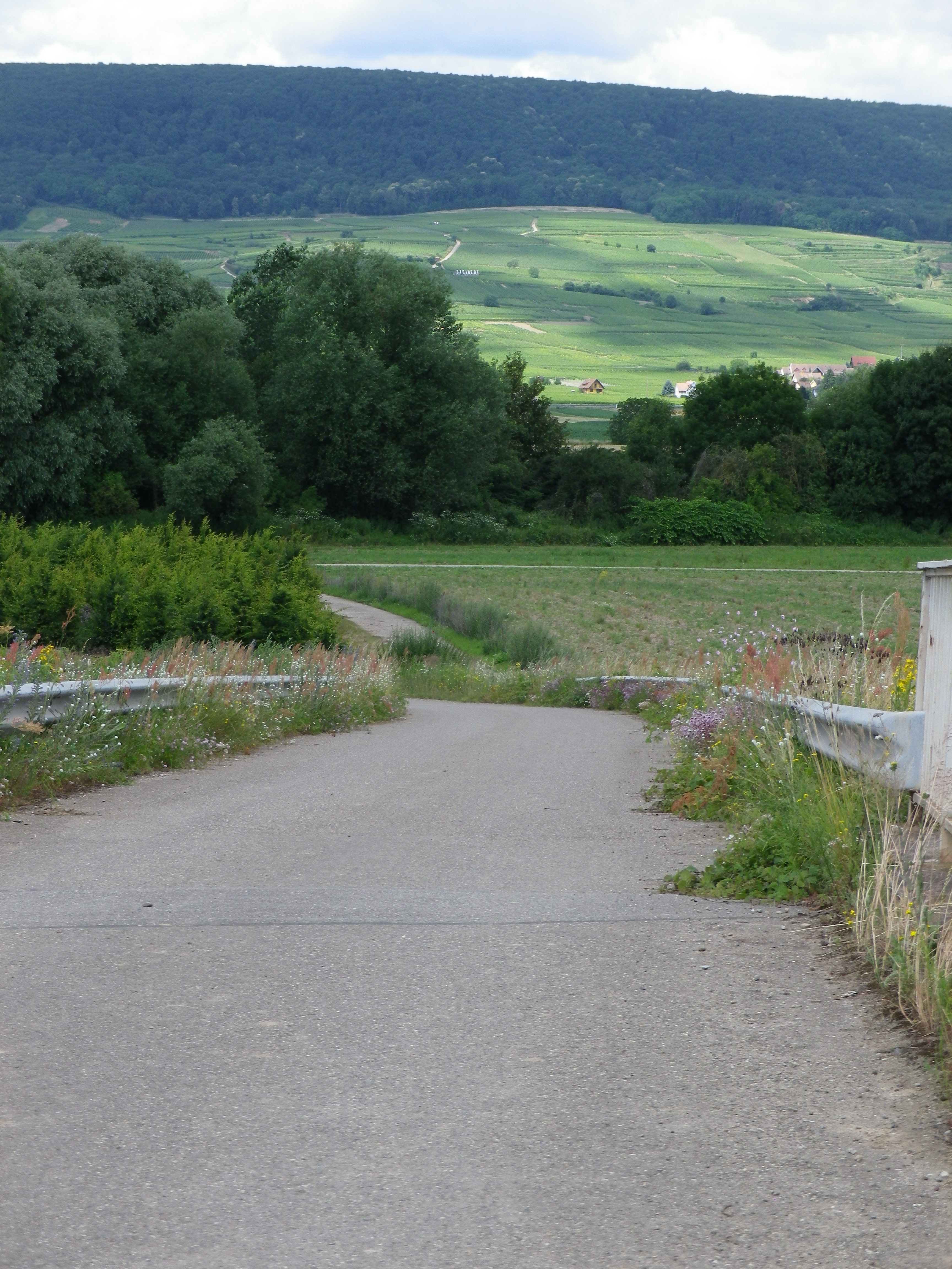
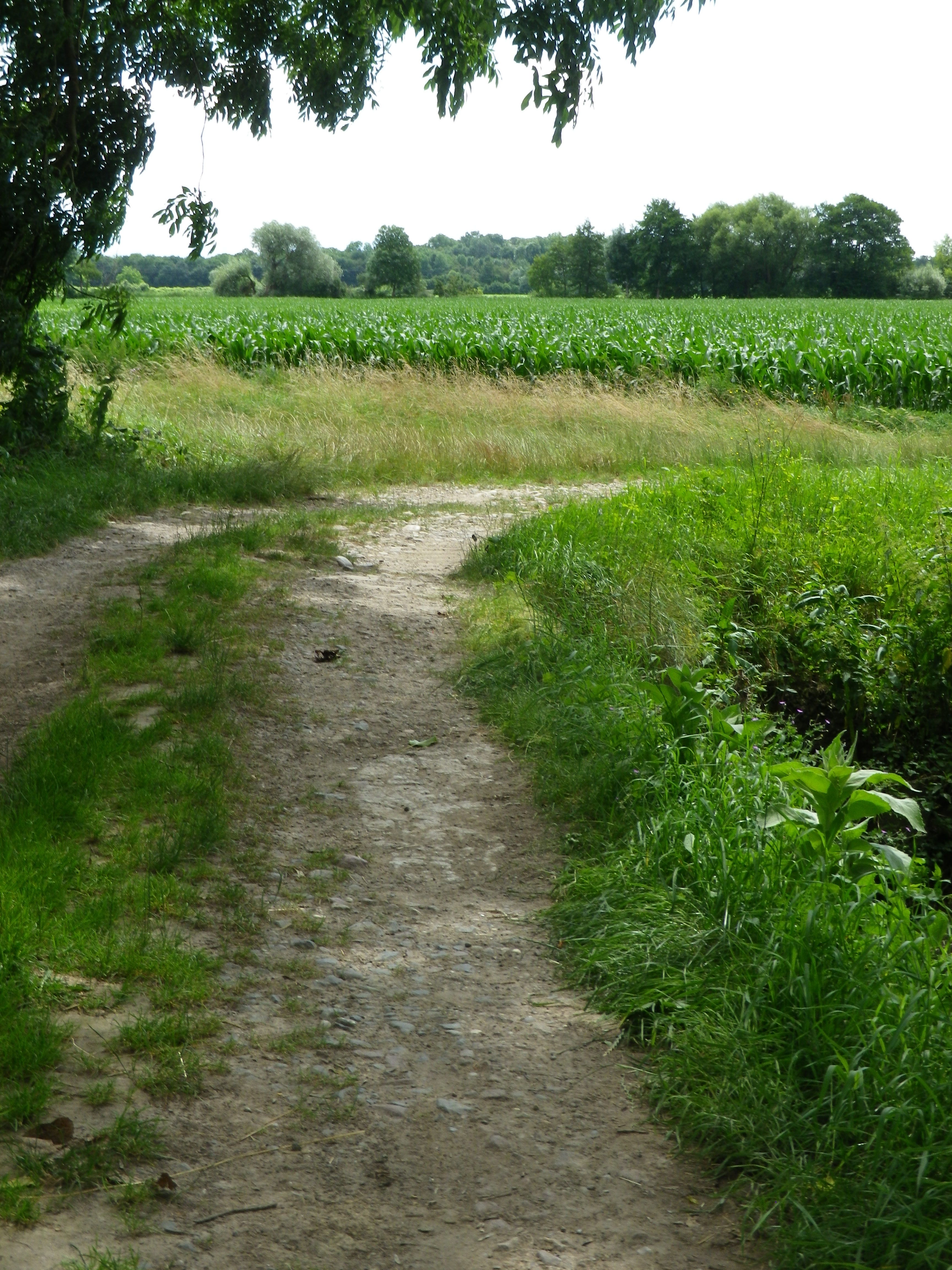
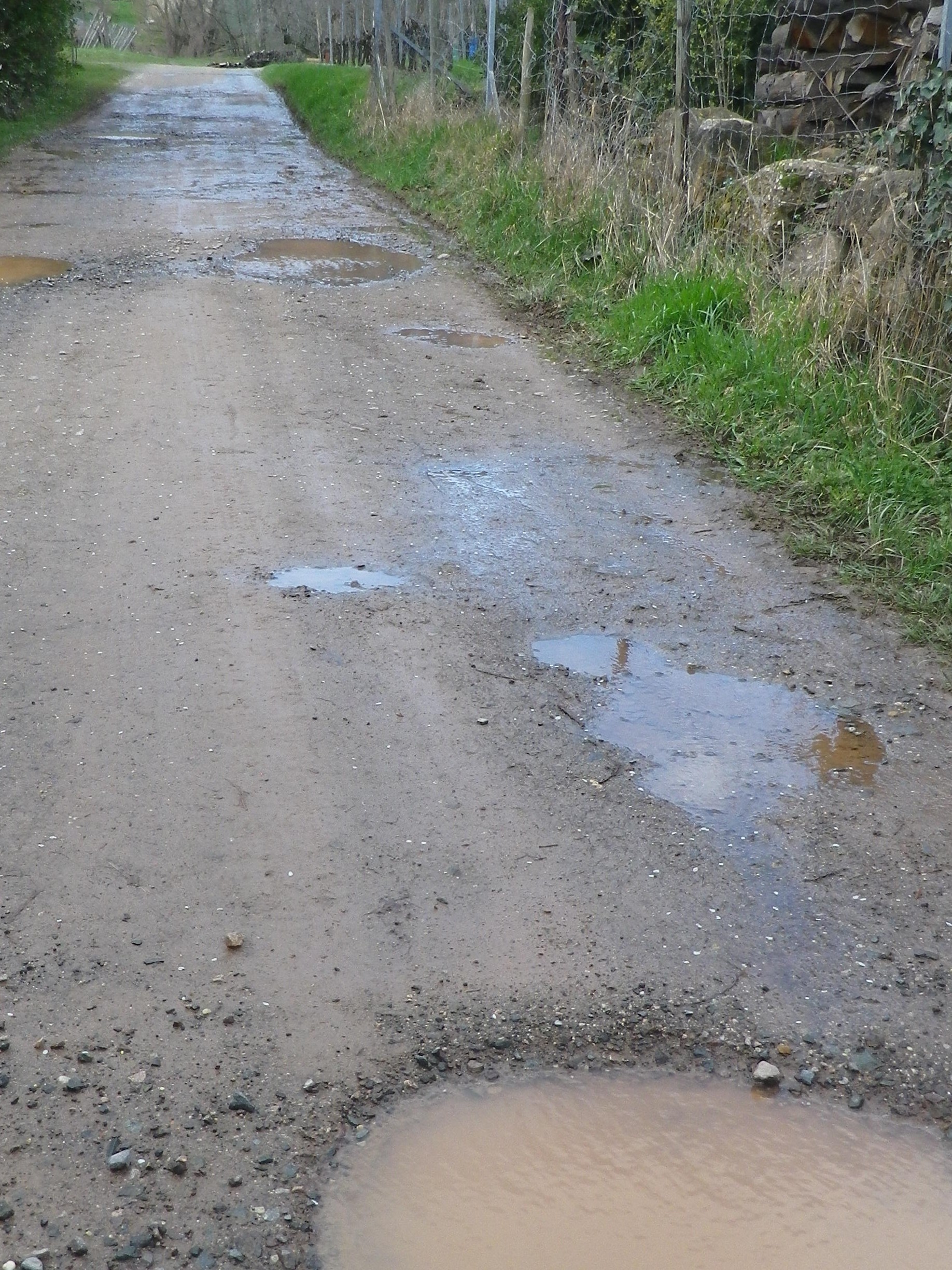
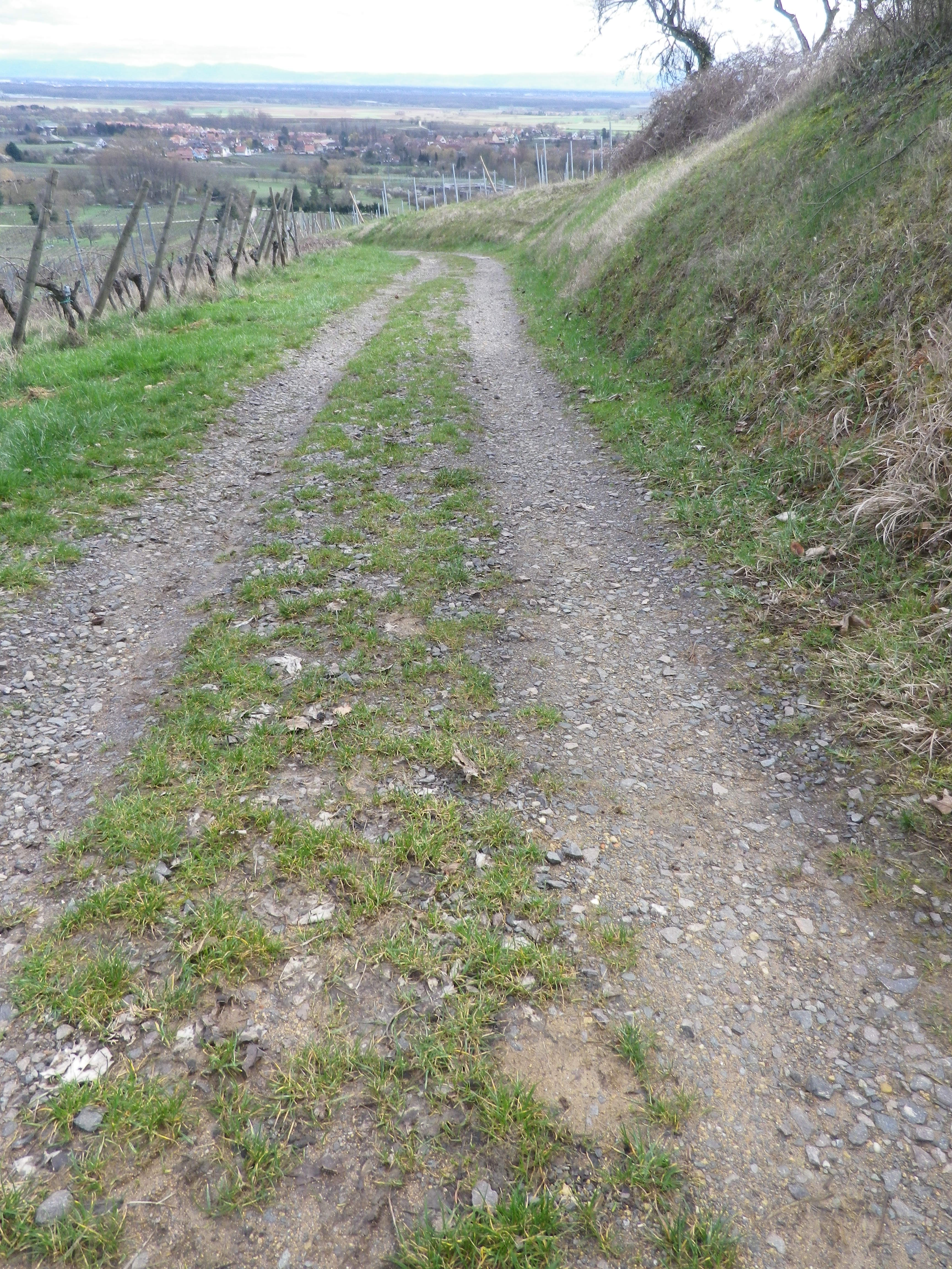
Trail Description: A delightful short trail, easily done, which covered vineyards and town, and gave distant views of the Black Forest in Germany and Alsatian landscapes near and far. As it was in a sheltered, and lower position, this itinerary presented no problems in the winter with snow or ice.
Trailhead:
Heiligenstein: Sports field, R. Principale/D35
Parking:
Heiligenstein on the north end of the main road, R. Principale/D35, on the north edge of town, by the Sports Field
Public Transportation Options:
Rail: SNCF Trains from Strasbourg service nearby Gertwiller. From that station, the southern-most point of the trail is about 1 kilometer distant. (The station in Barr is a bit further, but also larger.)
Suggested Stages:
Not applicable
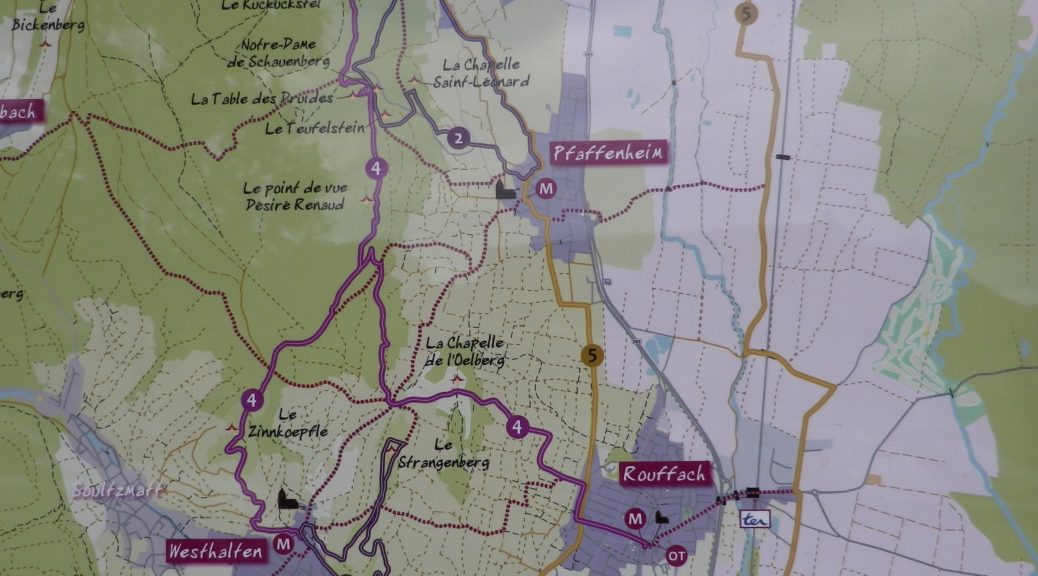
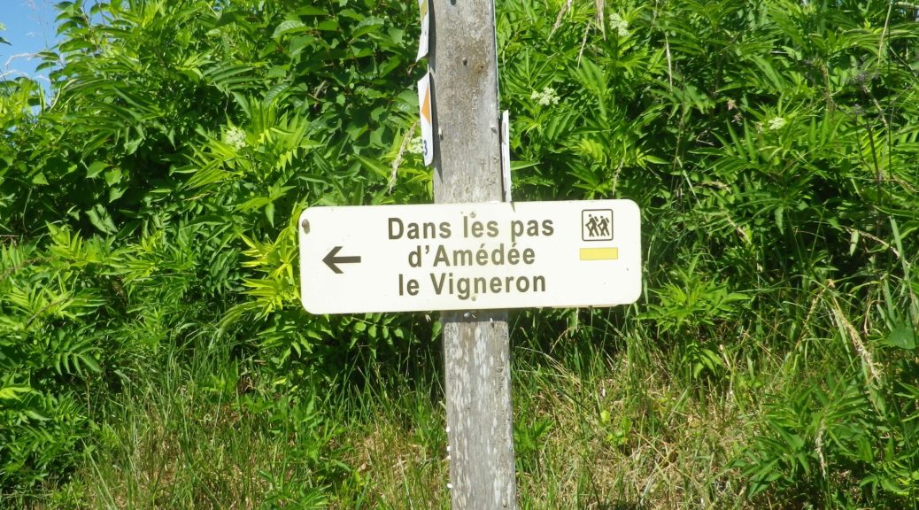
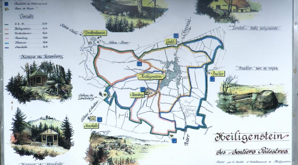
Trail Itinerary-Reference Points: (Counterclockwise)
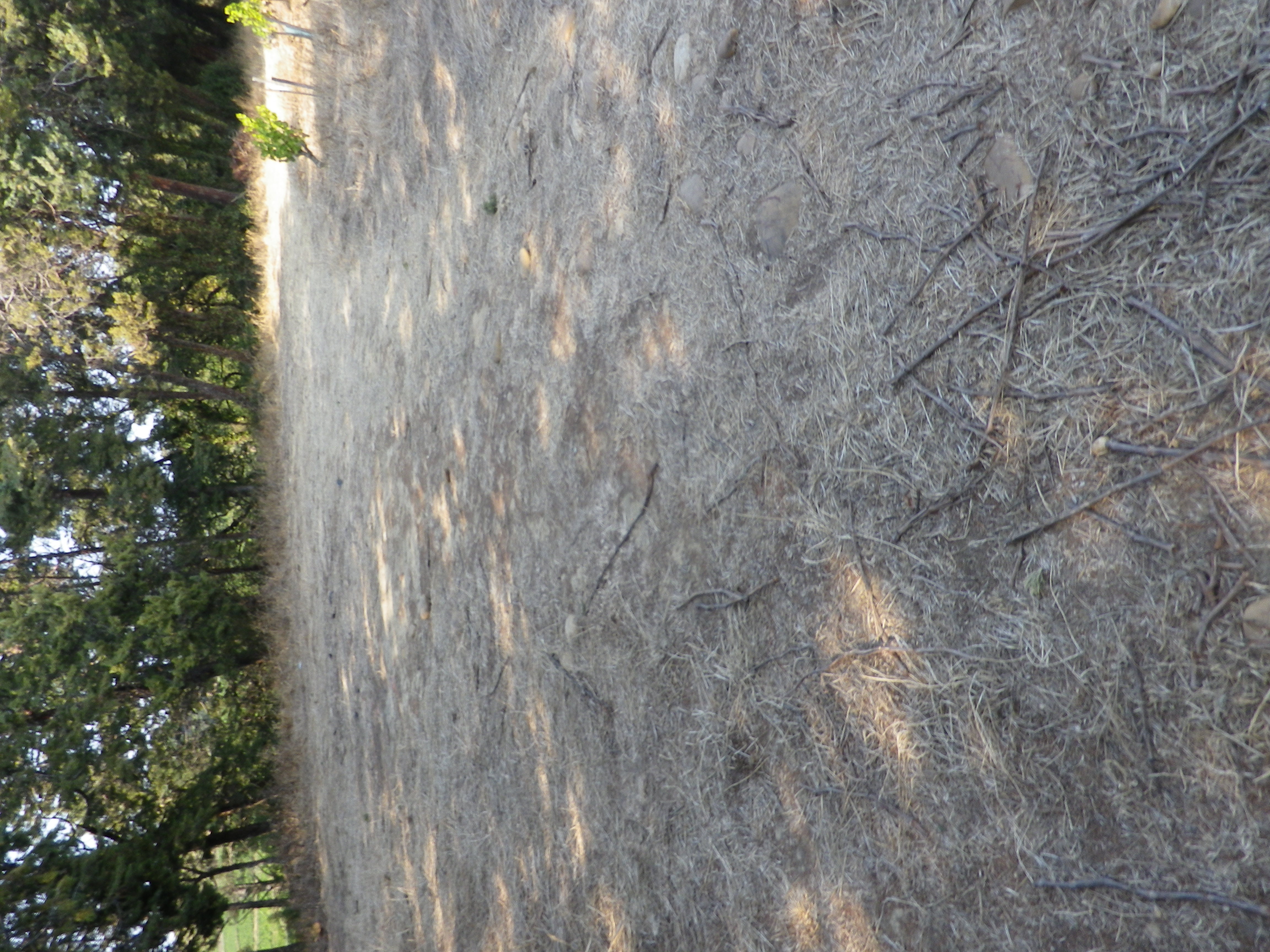
Heiligenstein: R. Principale/D35, R. (du) Kritt, R. des Chateaux; Truttenhausen: Kiosk and Hering Monument, Chemin du Moenkalb, past the Tilleul du Moenkalb (a famous linden tree); R. du Weinberg; vineyards, than an unimproved path downhill to cross R. Principale/D35; pass north of Domaine Bachert; through vineyards and fields, @100 yds on Saint Simonsbrunnen, go right onto small paved path, follow to T intersection, cross R Ehret Wantz; dogleg left, then first right to follow the winding road for about 400 meters/1250 feet, then rightat the Y intersection; take second left to return to sports field on D35 (see Lookout Point by the Sports Field),
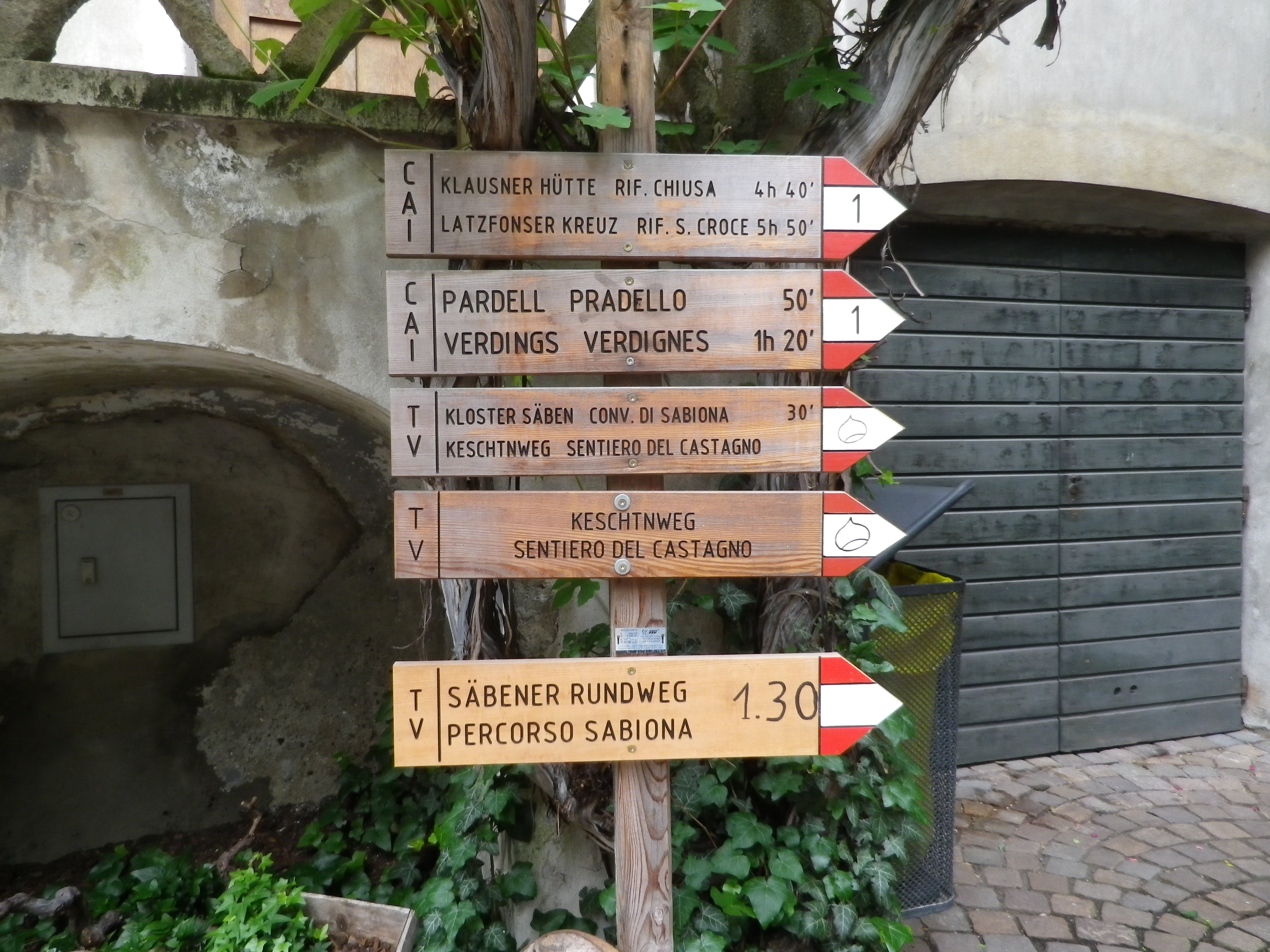
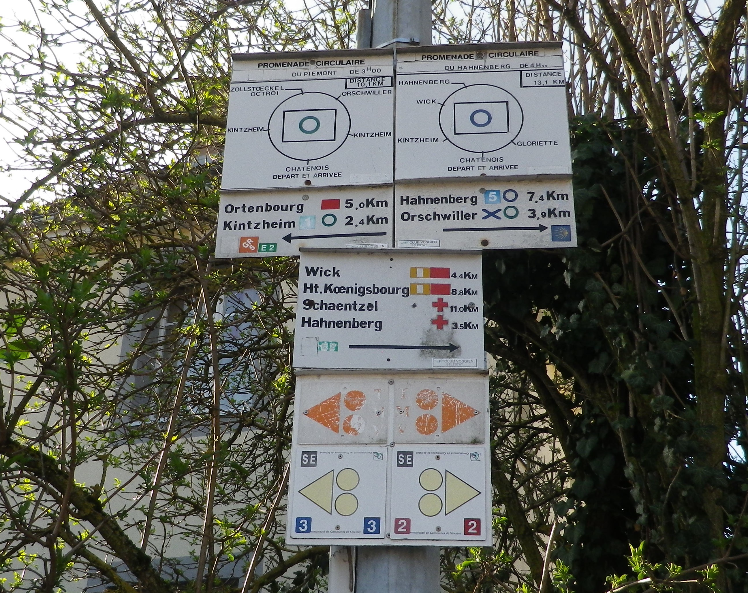
Representative Trail Photos:
Restrooms:
Heiligenstein: R. Principale, behind the Mairie
Attractions on or near Trail:
None wine-related, other than the wineries!
Tasting along the Trail:
A few wineries on or near the trail that specialize in this varietal, and then other as well nearby.
Alternative Options:
Biking: Klevener et Pain d’Epice, a 32 kilometer/ 20 mile cycling circuit in this region. See https://www.alsaceavelo.fr/403000071-bl214-klevener-et-pain-depices/
Car: Heiligenstein is one of dozens of villages on the Route des Vins D’Alsace, almost 180 kilometers of car-touring route focused on Alsatian wines and through Alsatian vineyards.
Additional Information:
Regional: https://www.visit.alsace/
Trail specific:
https://apps.tourisme-alsace.info/photos/cdcbarr/photos/213000384_d1.pdf
Comments:
A peaceful village, in one of the least travelled sections of the Route des Vins d’Alsace, cultivating a varietal that is unique in France.