
Readers may have noticed that there are many hiking trails through vineyards in the whole of the Rhine River Valley, in Germany, France and Switzerland. However, many of the vineyards in the Rhine River Valley, are not necessarily close to the river, especially since the valley is especially wide where the river flows between France and Germany. Hence Alsatian vineyards in France, and the Baden vineyards in Germany can be miles away from the river.
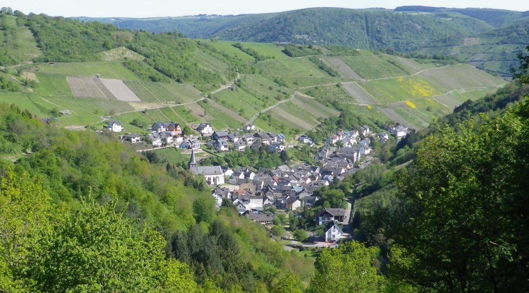
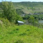
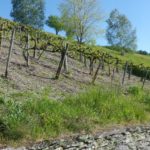
But it is a very different picture (and view) indeed, when hiking or biking through the northern Rheingau or southern Mittelrhein wine regions. Previous hikes through the Rheingau (on the east/right bank of the Rhine) on the fabulous Rheingauer RieslingPfad (see here, and the photo below), left me wanting to see more, and from a different perspective. I began with the southern-most vine growing area on the west/left bank of the Rhine, where the Reblausweg Trail provides nice views of both the Rheingau and Mittelrhein vineyards just across the river.
What I Learned
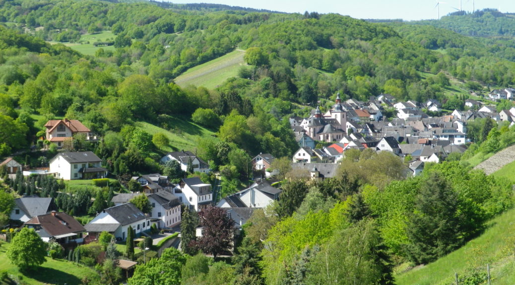
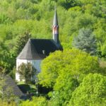
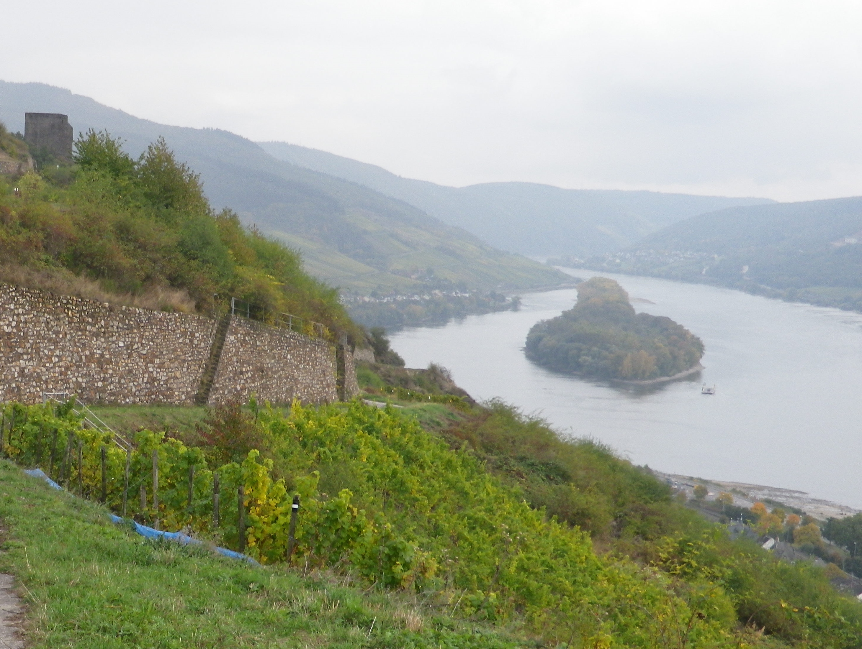
The Mittelrhein (Middle Rhine) is famous for its dozens of castle ruins, towering cliffs, and dramatic oxbow bends along the course of the Rhine through this section of it. The Upper Middle Rhine is now a UNESCO World Heritage site. It begins in Koblenz, and continues to Bingen.
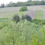
This also defines the wine region known as the Mittelrhein. Unlike other wine regions on the Rhine, this region covers both banks of the river (beginning north of Lorchhausen, which is part of the Rheingau region). Many areas of the Upper Middle Rhine do not produce wine: the topography and geology just aren’t suitable or practicable, even for growing other crops. That just makes the vineyards along this section of the Rhine even more esteemed.
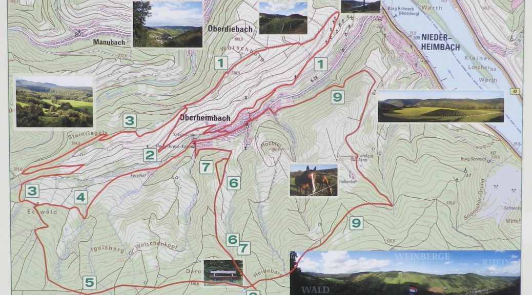
Trail Name: Reblausweg (Nr 13)
Trail Type: Short distance circuit; well-maintained and mostly paved or hard-packed earthen trail, marking on the trail is mostly good, but not specific to this trail
Length:
Total – 7.8 kilometers/miles
Convenient to: Bingen, or Koblenz, Germany
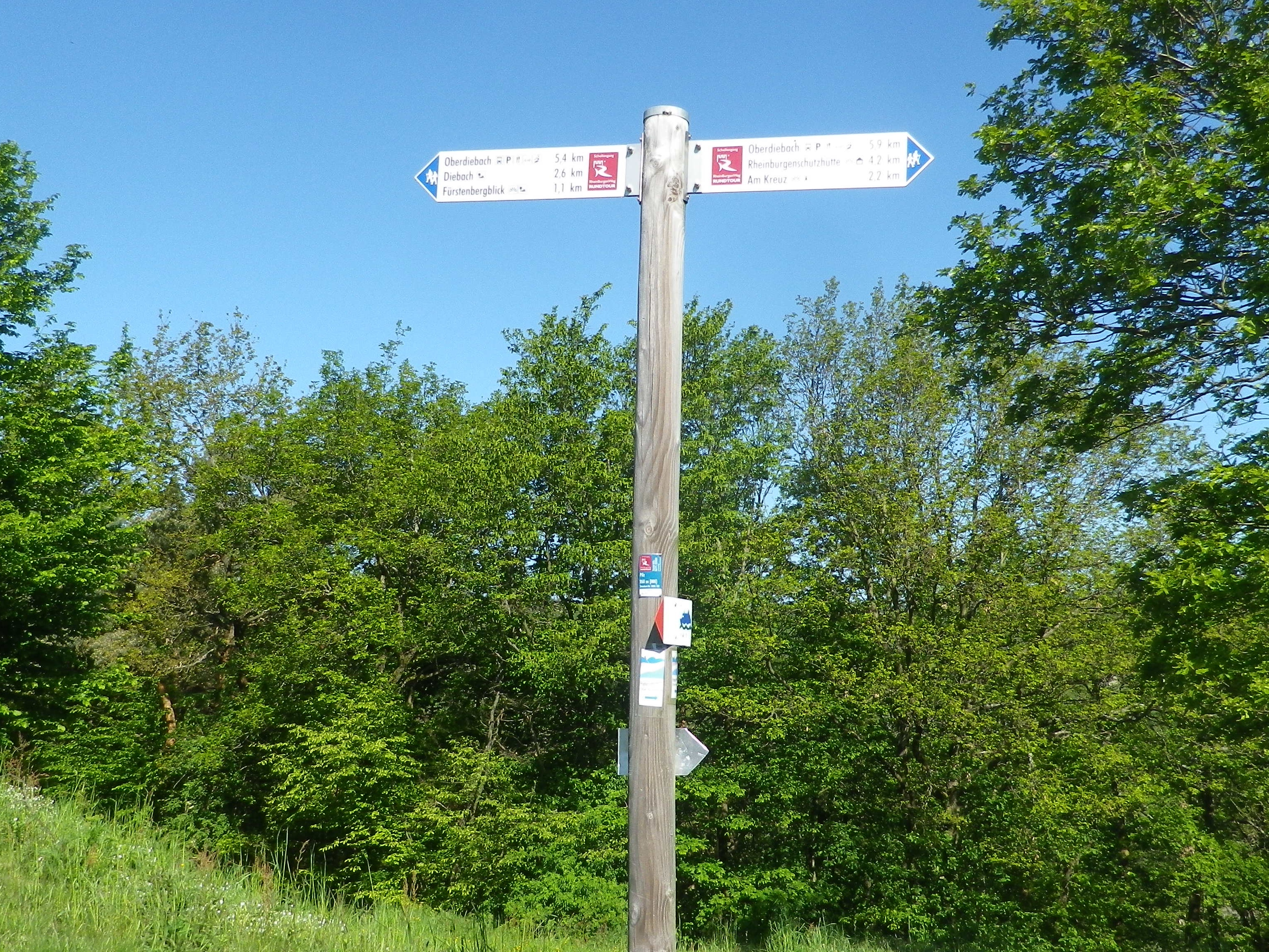
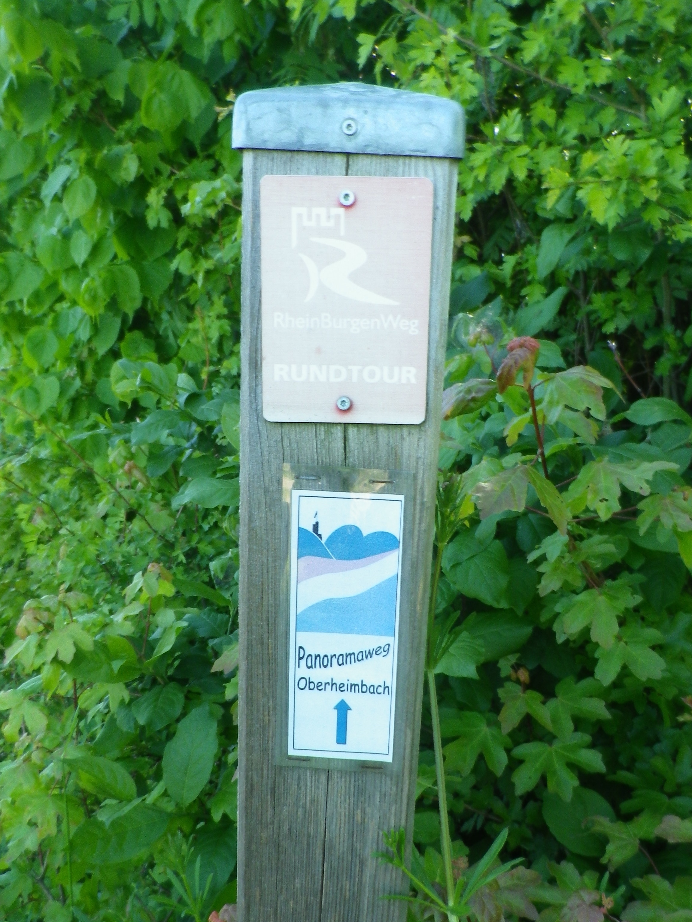
Marking:
Nothing specific to the Reblausweg trail, but directional signs, and marking for the Panoramaweg trail (which this trail partly follows), are both helpful.