Monferrato: Between Heaven and Earth


While the trail is known as Tra Santi e Vigne (Between Saints and Vines), I found the experience more analogous to being between heaven and earth. I encountered heavenly views of majestic Alps and iconic hilltop villages, and the earthly delights of the vine, not to mention the table, in this Italian paradise called Monferrato.

My journey started with the vines, lining the rim of a sun-drenched bowl. Descending into the bowl and crossing a small stream, the trail led up a road and into more vineyards, which ultimately dropped into more natural bowls. This is a hilly country, ideal for hiking and vines, not to mention castles, of which I saw several.

Castle and Winery of Uviglie

Continue reading Monferrato: Between Heaven and Earth

Wine Notes: Piedmont’s Monferrato


What I Learned

The Monferrato has a long tradition of wine-making, pre-dating even the Romans. As the famous Roman naturalist, Pliny the Elder noted, the Romans greatly appreciated the wine coming from the Muscat grape cultivated in the Monferrato as a varietal resistant to cold weather.

The rise of Christianity and establishment of monastic organizations ensured that even after the fall of the Roman Empire, and especially after the barbarian invasions, the production of wine would continue in the Monferrato up until today.

Continue reading Wine Notes: Piedmont’s Monferrato

Tra Santi e Vigne: Trail in a Nutshell


Trail Name: Tra Santi e Vigne (Amid Saints and Vineyards)

Trail Type: Short distance trail, in the Piedmont region of Italy; varied trail surfaces from paved, to hard-pack, to grass, to soft sand or mud, somewhat maintained, but the route itself is not sufficiently marked to follow without a map or GPX coordinates.

Length: total – approximately 9 kilometers/ 5.5 miles

Convenient to: Asti, or Casale Monferrato, Italy

Marking: Both a trailhead sign and rectangular signs with red and white stripes overwritten “740”

Sign: Tra Santi e Vigne Trailhead


Trail 740 Marking
Trail 740 Marking

Continue reading Tra Santi e Vigne: Trail in a Nutshell

A Tribute to Mueller-Thurgau


The Lake Constance Region tourism information promotes its “Mediterranean feel”. Nonetheless, the weather can be cold, wet, and windy, especially in early spring or late fall. (See the photo below.)  Vintners here would often suffer bad harvests for years in a row. But thanks to local man, Hermann Mueller, the industry gained a new lease on life.

View of Reichenau Island

Continue reading A Tribute to Mueller-Thurgau

Wine Notes: Mueller-Thurgau


What I Learned

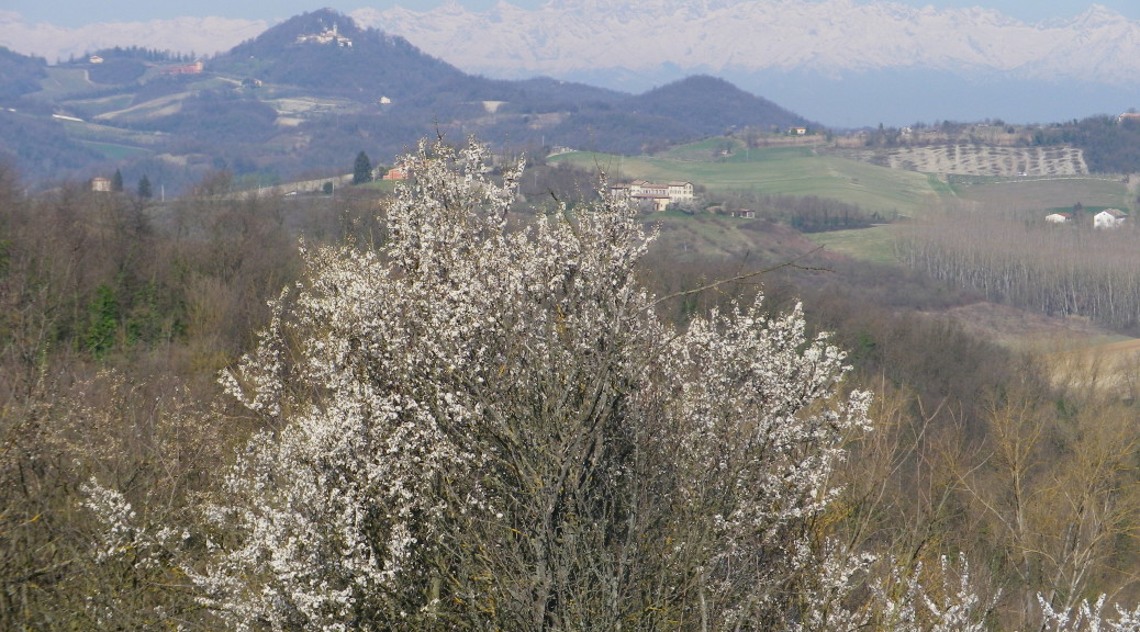
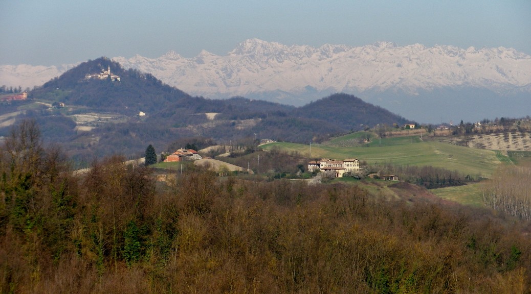
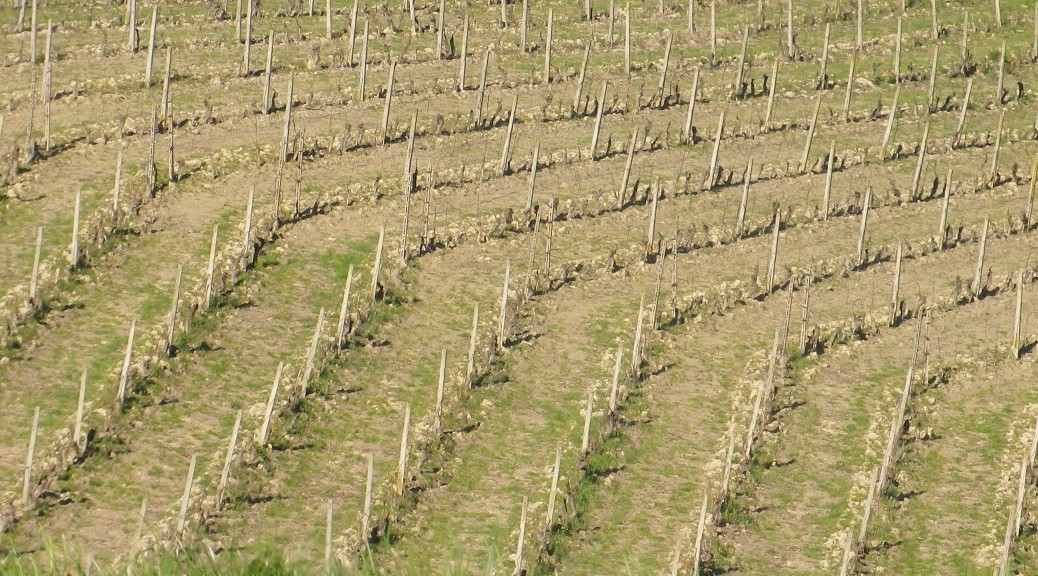
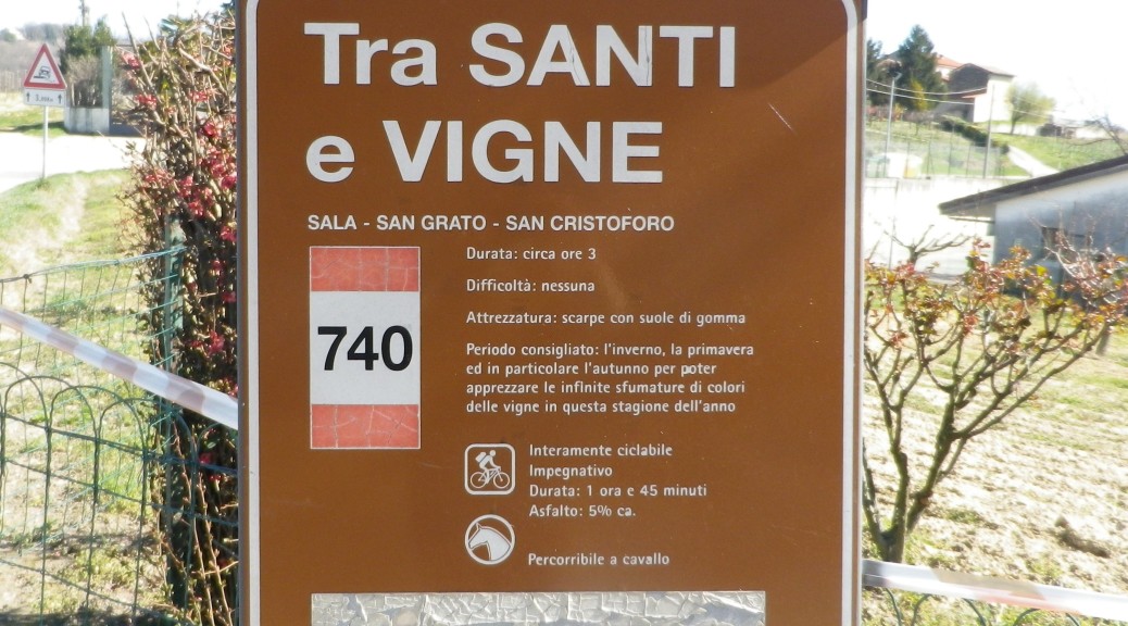
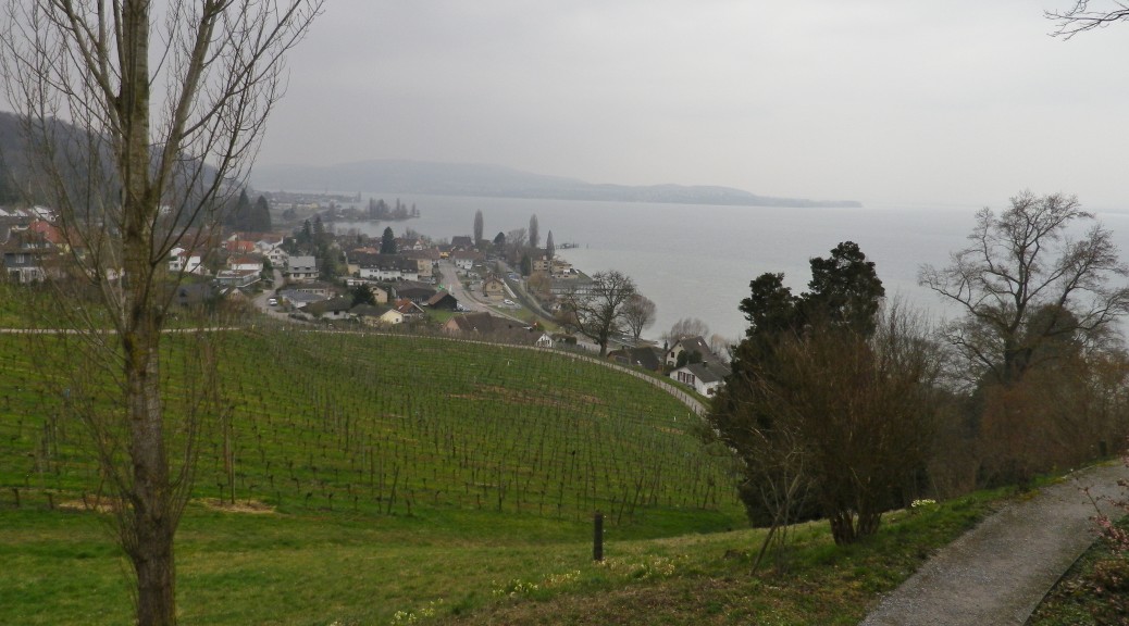
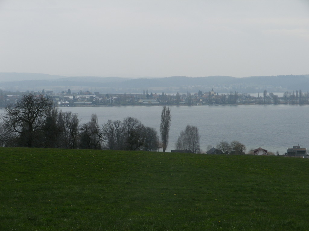
The northeast corner of Switzerland, where Germany, Austria and Switzerland group together around Lake Constance and the Lower Lake(the Bodensee and the Untersee, in German), is marketed as Mediterranean-like. While the area does boast some of the warmer and sunnier days in this part of the German-speaking world, due in part to the lake and the Rhine River which flows through it, the reality is that it is often cloudy, if not rainy, with windy and cool conditions. Hence vintners here face challenges growing grapes.

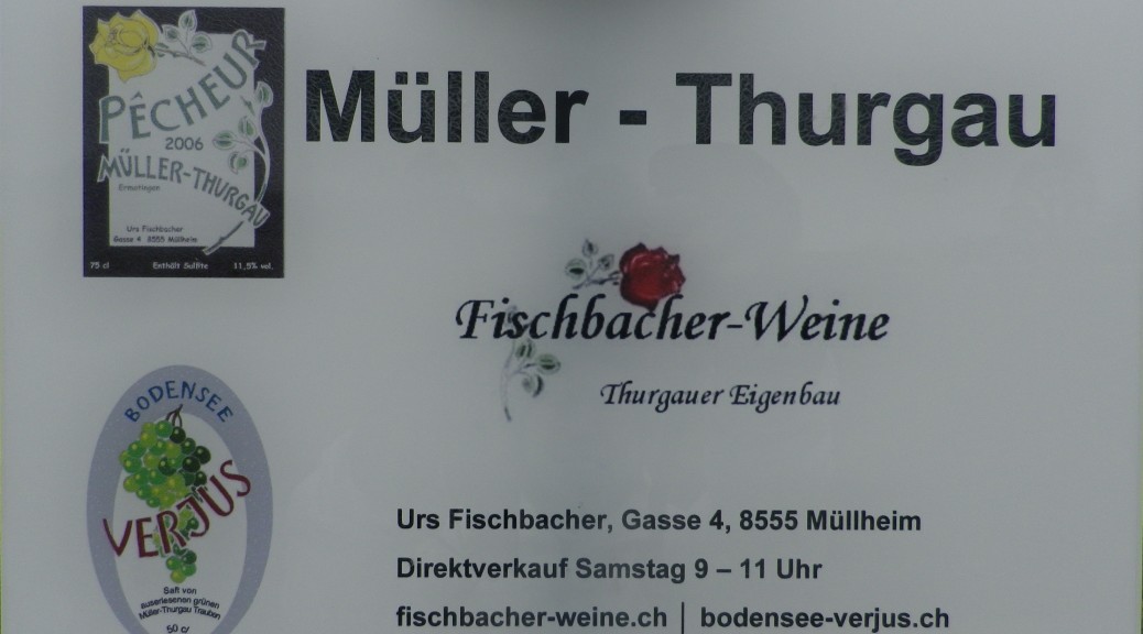
In 1882, Hermann Mueller, a local man, came to the rescue. Born in the village of Taegerwilen, within sight of Germany’s city of Constance and its Swiss conjoined city Kreuzlingen, he grew up in this area. His father was a part-time vintner, and his mother from the great wine region of the German Rheingau (further up the Rhine). Oenology was in his blood. After completing high school in Constance, and teaching for a stint in nearby Stein am Rhein, he entered the University of Wuerzburg where he graduated with a Ph.D. in botany. He worked in the Rheingau at the Prussian Institute for Horticulture and Viticulture, but the issues faced by Thurgau grape producers were not far from his mind.

Continue reading Wine Notes: Mueller-Thurgau

Rebwandern am Untersee: Trail in a Nutshell


Trail Name: Rebwandern am Untersee (Grape Hiking on the Lower Lake)

Trail Type: Medium distance; almost exclusively paved, well maintained, but the route itself is not exclusively marked.

Length: total: 15.4 km/9.5 miles

Convenient to: Constance (Konstanz), Germany; Kreuzlingen, Switzerland

Marking: Yellow “Wanderweg” signs only; some indicating direction and distance to towns and villages.

Sign on the Trail
Sign on the Trail

Continue reading Rebwandern am Untersee: Trail in a Nutshell