If you have never seen the Baroque architecture of southern Germany, then you are missing a treat. The extravagance of the forms, the flamboyance of the colors, are not usually found in nature, which is what made such an interesting juxtaposition on this winter hike.
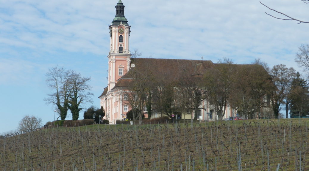
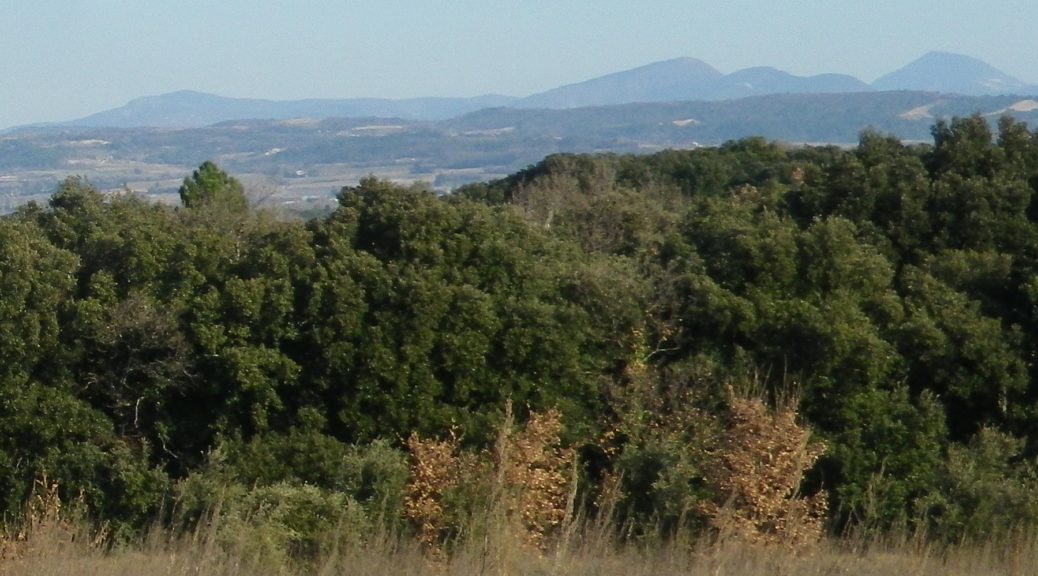
The trail, entitled Wein Barock, presumably intended as its highlights the pilgrimage basilica of Birnau, and the vineyards surrounding it. Equally as impressive to me, was the scenic beauty of the Swiss Alps, and Lake Constance, also enjoyed from this trail.
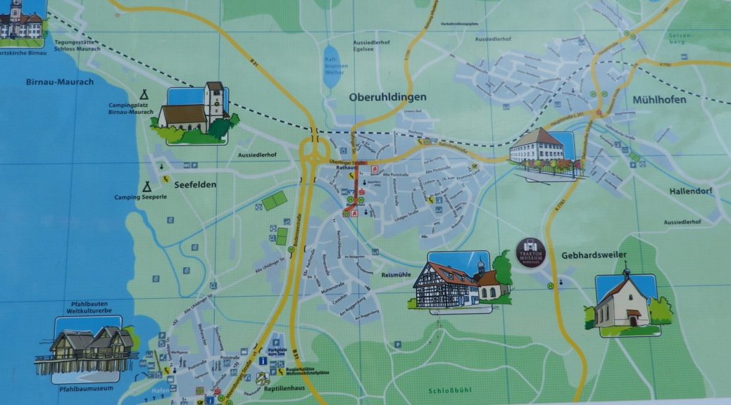
This trail is set entirely in the township of Uhldingen-Muehlhofen, made up of the villages of Unteruhldingen, Oberuhldingen, and Muehlhofen, which progress respectively, from the lake front to the hills. The circuit officially begins in Oberuhldingen, proceeding from its homey center, and quickly comes to the surrounding countryside.
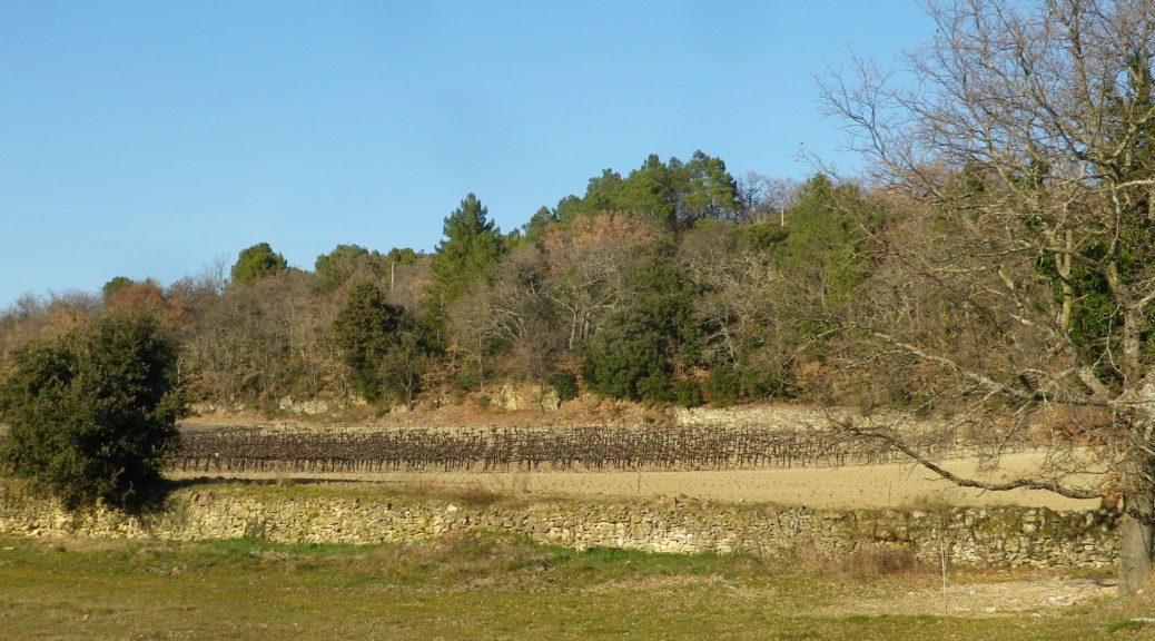
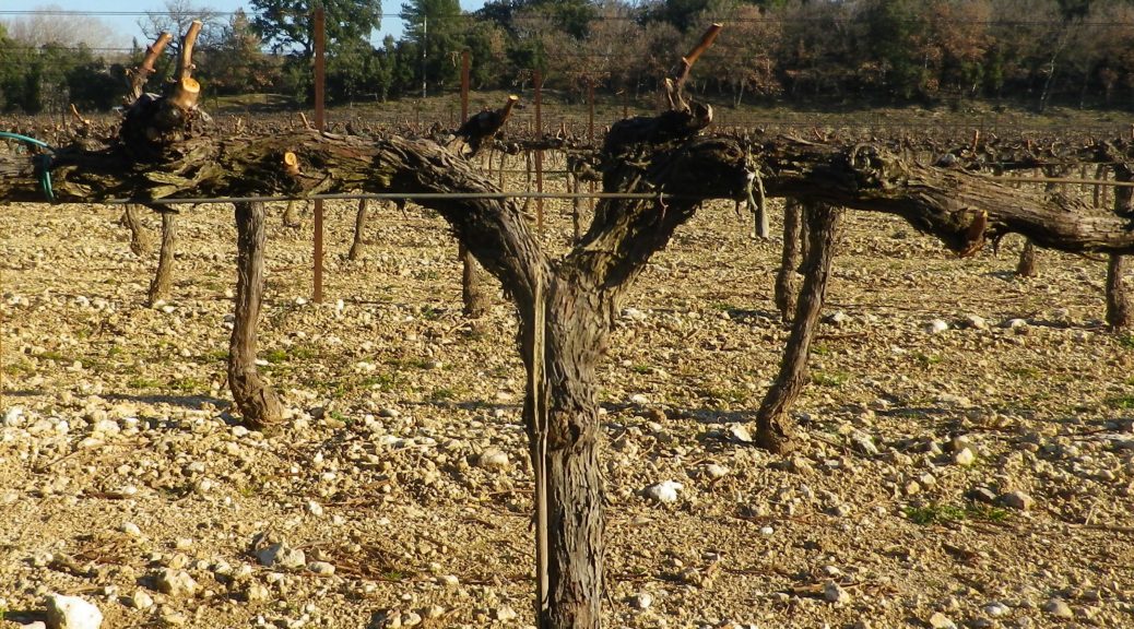
Germany’s Baden wine region contains a district on the shores of Lake Constance, or Bodensee, as it is called in German. The lake itself has two distinct parts: the Bodensee, and the Untersee. Both have vineyards which fall under Grosslage Sonnenufer. This post comments on the Kirchhalde slope by Uhldingen, on the Bodensee itself.
The lake and the northern shoreline’s southern exposure to sun help to warm this area, making it a garden spot for Germany. Vineyards are tucked among the villages and religious foundations, along with fruit trees and fields of vegetables, grains and flowers. In this district, vineyards grow primarily in gravelly, moraine clay soils. The Kirchhalde slope, with a nice south, south-westerly exposure, is fairly pronounced, but overall, the elevation is less than 500 meters.
Trail Type: Mid-distance circuit trail; almost exclusively paved, well maintained, but the marking along the route, while excellent, is not trail specific. (See the Itinerary below for specific itinerary points.)
Length: total: 10 kilometers/ 6 miles
Convenient to: Konstanz, and Friedrichshafen, Germany
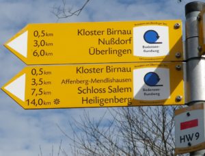
Marking:
Yellow rectangular signs with black lettering, indicating direction to major itinerary points. (Not trail specific)
The Drome Provencal, set south of Valence in France’s Rhone River Valley, already had spring-like weather when I visited in mid-February. With several fairly easy mountain biking trails suitable for the whole family, I decided to try one that centered around the village of Chamaret.
Sadly though, my bike was not available that day, and not finding a rental (a downside to winter touring), I decided to hike the southern part of the trail, beginning and ending in the village center. I am glad I made that call, for two reasons. The first: my hybrid bike and I would not have done well on part of this trail, and second: a short hike gave me time to explore this charming village.
The Rhone River drains much of central and south -eastern France. Along the Rhone, starting just south of Lyon and ending a bit south of Avignon, there are many wine appellations along or near the river. Therefore, the Cotes du Rhone wine appellation, such a large area, is of necessity, divided into the northern Rhone (Rhone Septentrional) and southern Rhone (Rhone Meridional) zones.
This post focuses on the northernmost appellation of the southern Rhone zone. This is where, when driving south along the highway, through Valence, you note that northern France is now definitively in the rear-view mirror, and southern France has begun. It is where the department of the Drome meets Provence’s department of the Vaucluse.
Trail Name: De Tour en Grotte (southern half only)
Trail Type: Short distance circuit trail; well-maintained and almost exclusively hard-surfaced, either tarmac, earthen or rock surfaces, marking on the trail rather good throughout the southern half. (See comments below)
Length:
Total – 20 kilometers
My segment – @9 kilometers
Convenient to: Grignan, France
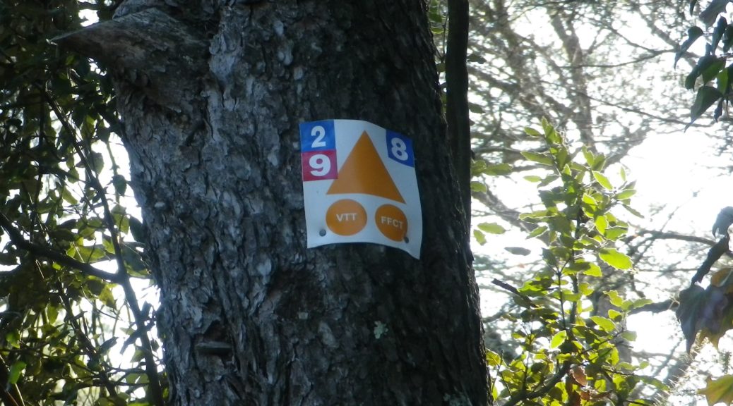
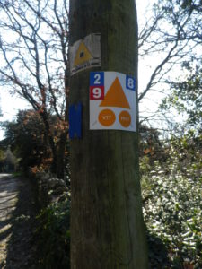
Marking: A white 2 on a blue background, accompanied by the VTT (mountain bike) symbol: a triangle (orange) with two same-colored circles.