
Picture Perfect Alpine Scene

Sondrio: Renaissance-style Courtyard

On the Trail: Alpine Waterfall

Triasso: Quiet Square


Looking up the Valley: Sondrio
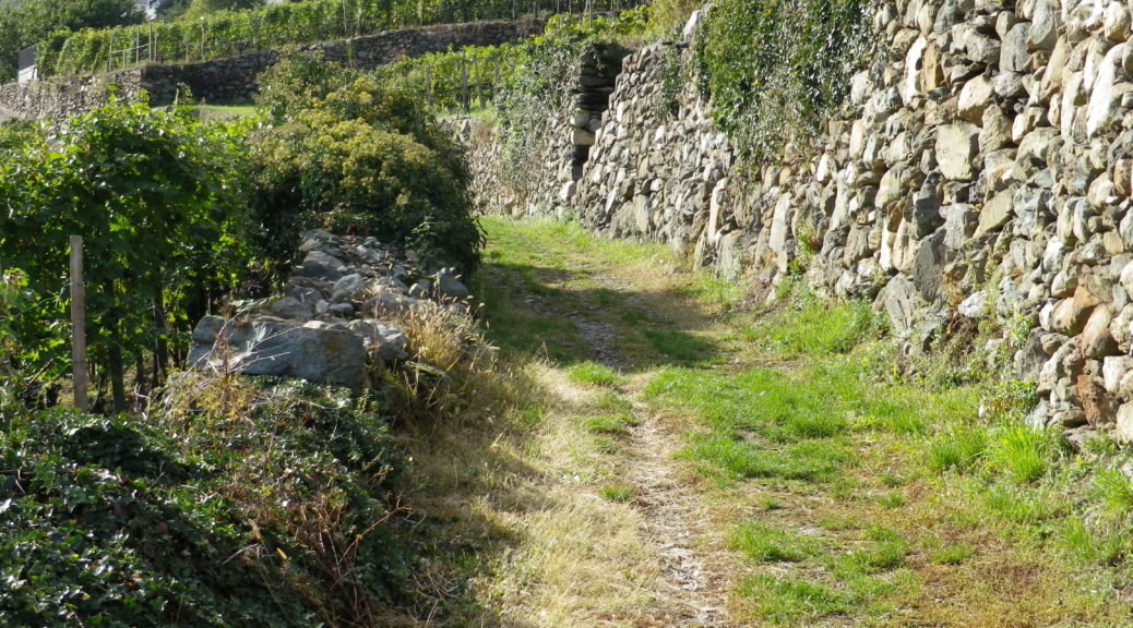
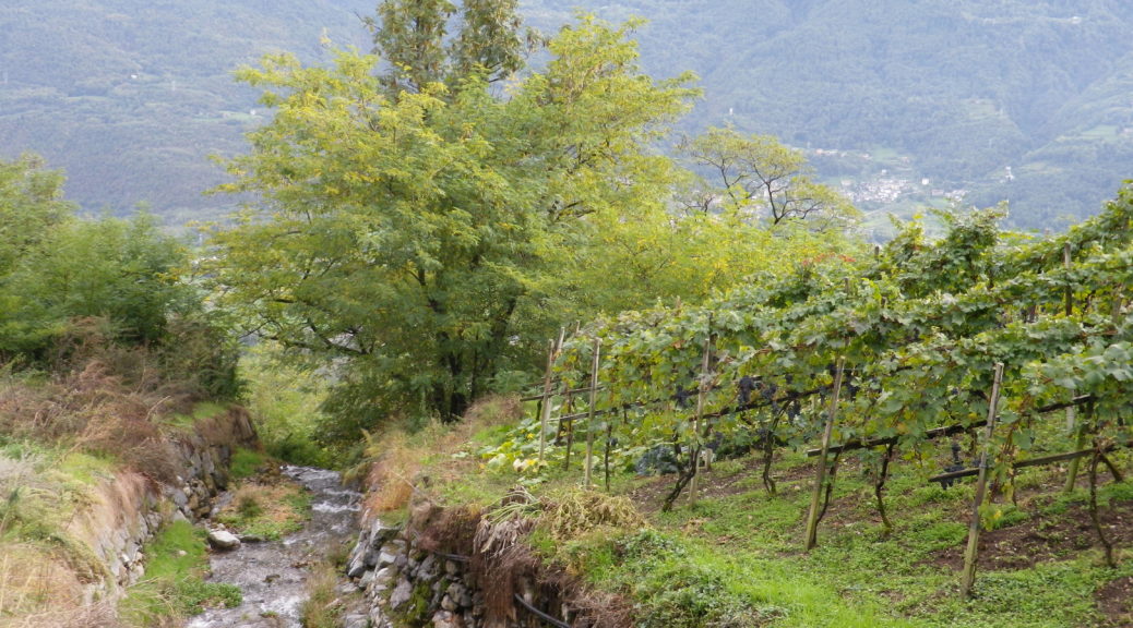
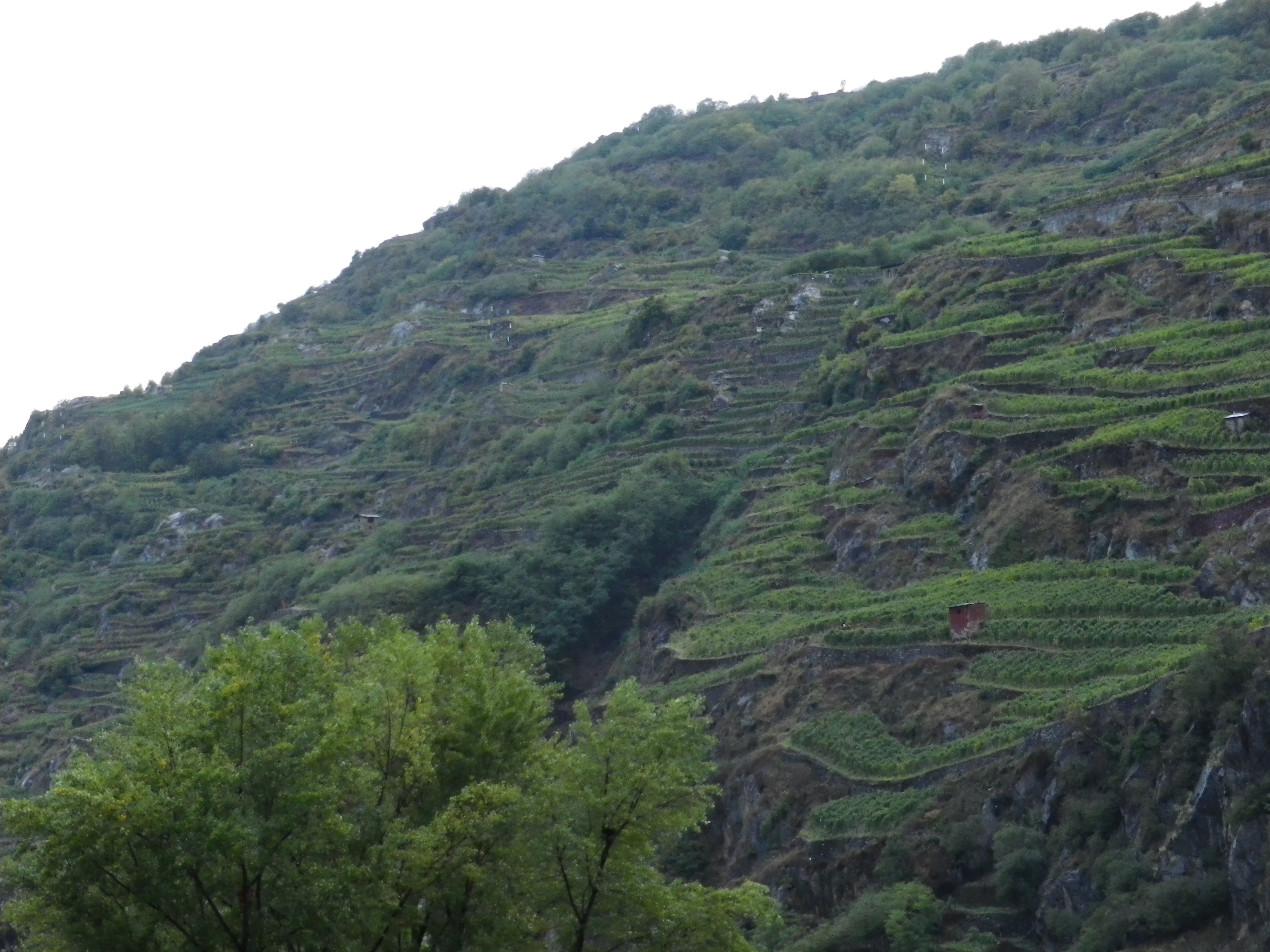
Because I sometimes wonder whether I appreciate wine enough, innumerable tastings notwithstanding, I will occasionally take the time to hike multiple stages of some of the longer European wine trails. That is the case with the Via dei Terrazzamenti (Terrace Way) in Italy’s Valtellina wine region. Set just south of Switzerland in the Lombardy province, this Alpine region is as awesome as it is daunting. I appreciate a physical challenge, and while the trail is not as difficult as it could be, given the rugged nature of the terroir, there are literally several breath-taking ascents. These sometimes seem to climb endlessly, but rejoice in it: the higher the climb the more expansive the views. Then there are the descents that will leave your legs feeling it.
What I Learned
While the Valtellina wine region is not the northernmost wine producing area in Italy, its grapes grow at altitudes of over 760 meters (2500 feet). The terrain here is dominated by mountains: rocky, incredibly steep, subject to sudden changes in weather from the north.
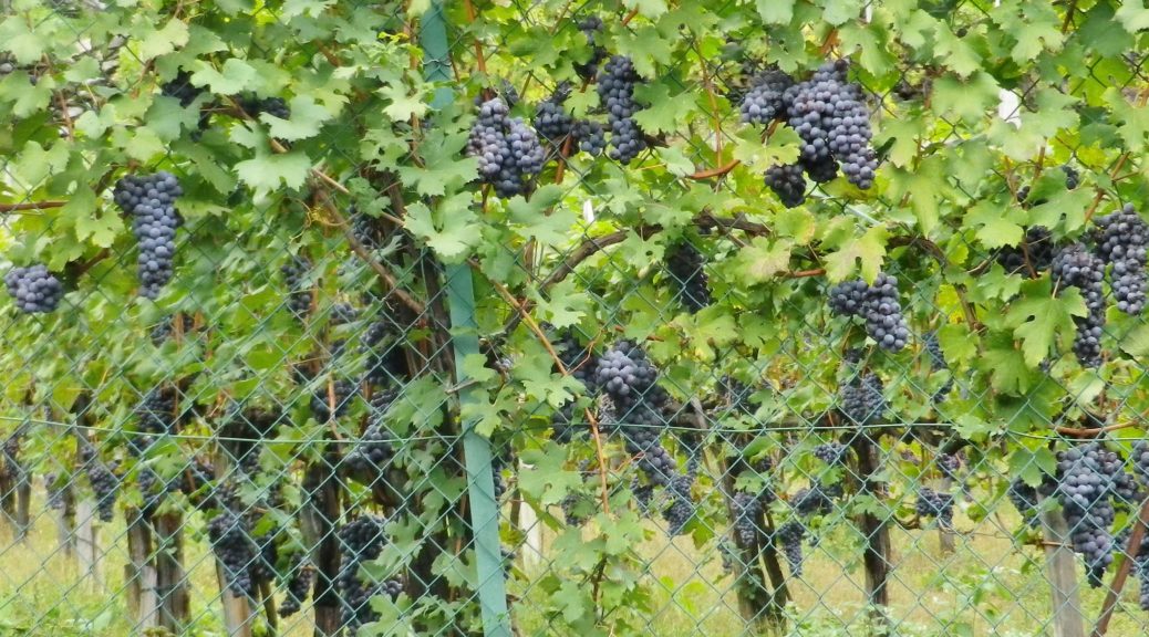
The classification system in Valtellina, like the appellation controlee system in France, is based on geography. In Valtellina, there are five recognized areas of cultivation of the Chiavennasca grape (known as Nebbiolo in the Piedmont). These five areas are distinct micro zones of terroirs and traditions, each with its own history, and each with its own Chiavennasca wine. Visiting each area, and sampling their wines, provides an excellent opportunity to explore the different expressions of Chiavennasca as vinified in Valtellina.
Trail Name: Via dei Terrazzamenti (Terrace Way)
Trail Type: Long distance; well-maintained, with a hard-packed, but occasionally uneven, surface; usually good marking on the trail
Length:
Total: 70 kilometers/43 miles (Morbegno – Tirano)
Mine: 14 kilometers/8.5 miles
Convenient to: Sondrio, or Tirano, Lombardy, Italy
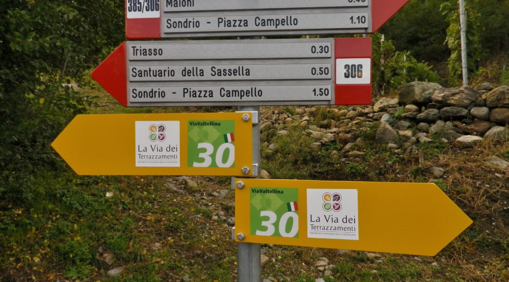
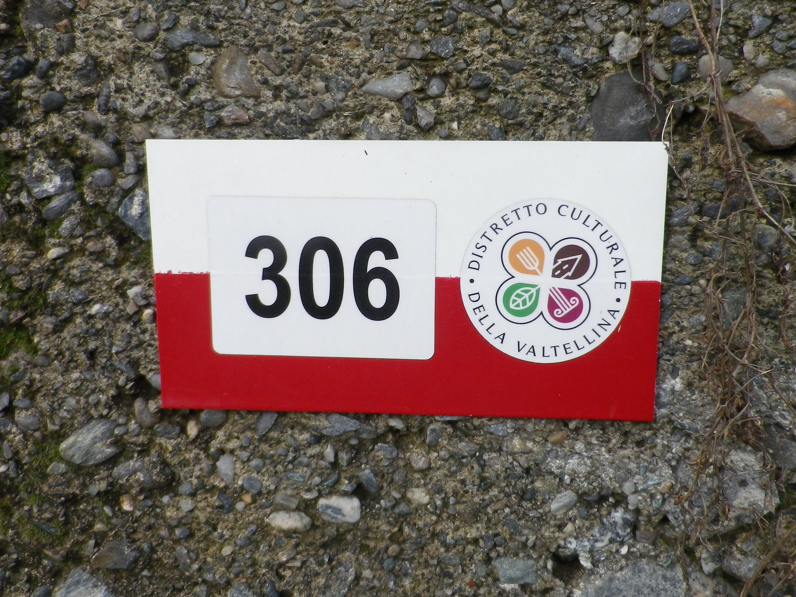
Marking:
The words Via dei Terrazzamenti, accompanied by a logo resembling a four-leaf clover on a yellow arrow; sometimes the same logo is on a white bar over red bar rectangular sign (See the featured photo above, and the photo below.)
Continue reading Trail in a Nutshell: Via dei Terrazzamenti II