Tag Archives: hiking Italian vineyards

From Vineyards to the Heavens


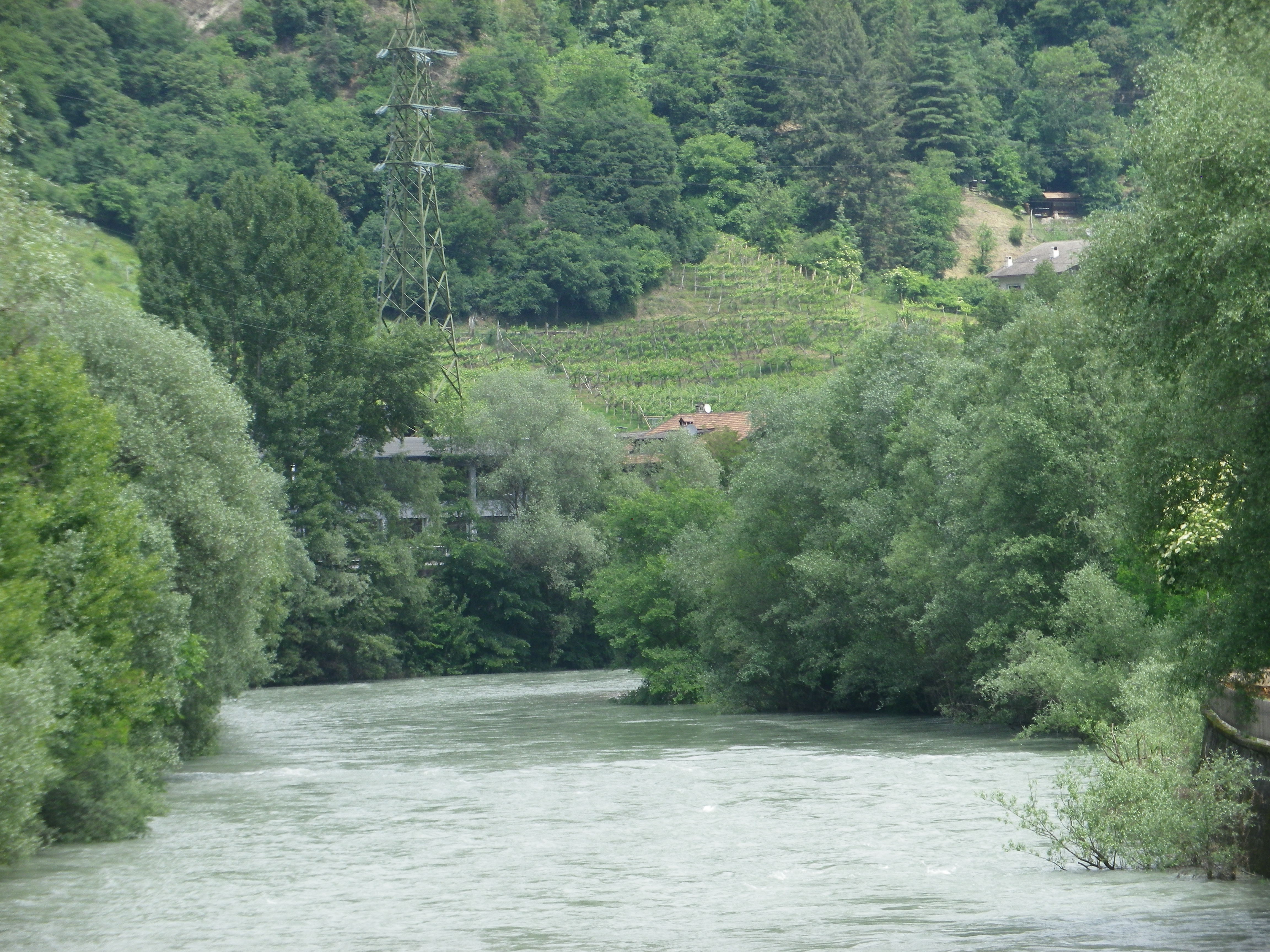
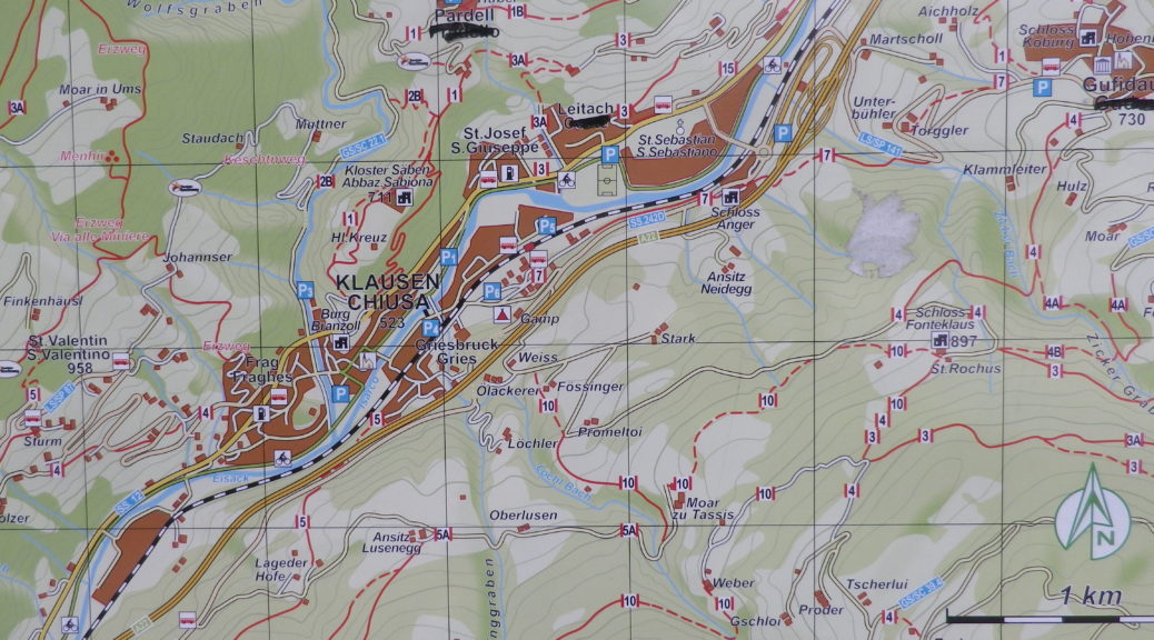
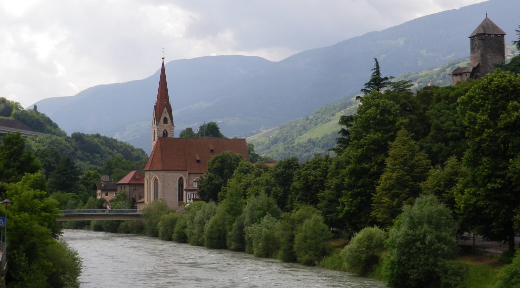
The town of Klausen, known as Chiusa in Italian, lies at the bottom of a river valley. The Eisack River runs from near the Austrian border to Bozen, where it joins the Etsch River. During its southward flow, it runs along the west bank of Klausen, surrounded by some of the most impressive Dolomite peaks in this area.  But, key in this description is the “bottom of the Eisack river valley.” Therefore, most hikes in this area will experience some serious ascents at some point.

The Eisack River

Continue reading From Vineyards to the Heavens

Trail in a Nutshell: Saebener Rundweg


Trail Name:  Saebener Rundweg

Trail Type: Very short-distance circuit; well-maintained with hard (paved or packed earth) surfaces, with some cobblestones; mostly good marking for this itinerary.

Length:

Total – 3.0 kilometers/miles

Convenient to: Bozen (Bolzano), Brixen (Bressanone), Italy

Marking:

White over red horizontal bars

Signage along the Saebener Weg

Follows written signs for “Keschtnweg” and Saebener Rundweg

Saebener Rundweg and Keschtnweg Signage

Continue reading Trail in a Nutshell: Saebener Rundweg

Wine Notes: Italy’s Valtellina II


What I Learned

While the Valtellina wine region is not the northernmost wine producing area in Italy, its grapes grow at altitudes of over 760 meters (2500 feet). The terrain here is dominated by mountains: rocky, incredibly steep, subject to sudden changes in weather from the north.

The classification system in Valtellina, like the appellation controlee system in France, is based on geography. In Valtellina, there are five recognized areas of cultivation of the Chiavennasca grape (known as Nebbiolo in the Piedmont). These five areas are distinct micro zones of terroirs and traditions, each with its own history, and each with its own Chiavennasca wine.  Visiting each area, and sampling their wines, provides an excellent opportunity to explore the different expressions of Chiavennasca as vinified in Valtellina.

Continue reading Wine Notes: Italy’s Valtellina II

Trail in a Nutshell: Via dei Terrazzamenti


Trail Name:  Via dei Terrazzamenti

Trail Type: Long distance; well-maintained, with a hard-packed, but occasionally uneven surface throughout, usually there is good marking on the trail, but it tends to disappear in villages and towns.

Length:

Total: 70 kilometers/43 miles (Morbegno – Tirano)

Mine: 14 kilometers/8.5 miles (Chiuro – Ponchiera)

Convenient to: Sondrio, or Tirano, Lombardy, Italy

Marking:

Words “Via dei Terrazzamenti” on a white background with a four-leafed clover design inside; sometimes associated with a metal yellow arrow.

White over red horizontal bars indicate a hiking trail generically

Note: The photo below shows all of the above, with the addition of an extra sign on the yellow arrow, (with a number thirty), indicating a different trail as well.

Signage: Via dei Terrazzamenti

Continue reading Trail in a Nutshell: Via dei Terrazzamenti

Vineyard Views from Vignale


I immediately resolved to visit the village of Vignale Monferrato, and wander its vineyards, on my premier trip to the Monferrato district in northern Italy.  I first saw the vineyards and the village while hiking in 2016 through the Malvasia vines of nearby Casorzo.  Rounding a prominence, I spied distant vineyards circling a steep hill capped by a compact village. Capping the village itself is an impressive parish church, with the most expansive view imaginable of the Monferrato from its side-yard.

Monferrato: View from the Top of Vignale

It took a while, but I finally got there in late May of 2019. (Little did I know then that I would not return to Italy for a little over two years now.) But the wait then was worth it, as the experience of the village and the hike was fantastic. The food and wine were outstanding of course, this being the Piedmont.

Continue reading Vineyard Views from Vignale

Tra Valli e Cascine: Trail in a Nutshell


Trail Name:  Tra Valli e Cascine (AKA Sentiero 732)

Trail Type: short-distance hiking circuit; marking on the trail is fairly good, and consistent; once out of town, the trail surface is mostly gravel over hard packed earth, with a grassy stretch for about two kilometers/a bit over a mile.

Length:

Total – 9.7 kilometers/6 miles

Convenient to: Casale Monferrato, Alessandria, Piedmont, Italy

Marking:

Trail signage: Vertical red-white-red bars imprinted with the number 732 in black; alternatively, trail markers are red and white horizontal bars.

Trail Signage photos: See featured photo above, and trail marking photo below:

Trail Marking

Continue reading Tra Valli e Cascine: Trail in a Nutshell