Trail Name: Via dei Terrazzamenti
Trail Type: Long distance; well-maintained, with a hard-packed, but occasionally uneven surface throughout, usually there is good marking on the trail, but it tends to disappear in villages and towns.
Length:
Total: 70 kilometers/43 miles (Morbegno – Tirano)
Mine: 14 kilometers/8.5 miles (Chiuro – Ponchiera)
Convenient to: Sondrio, or Tirano, Lombardy, Italy
Marking:
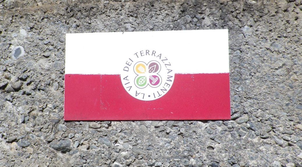
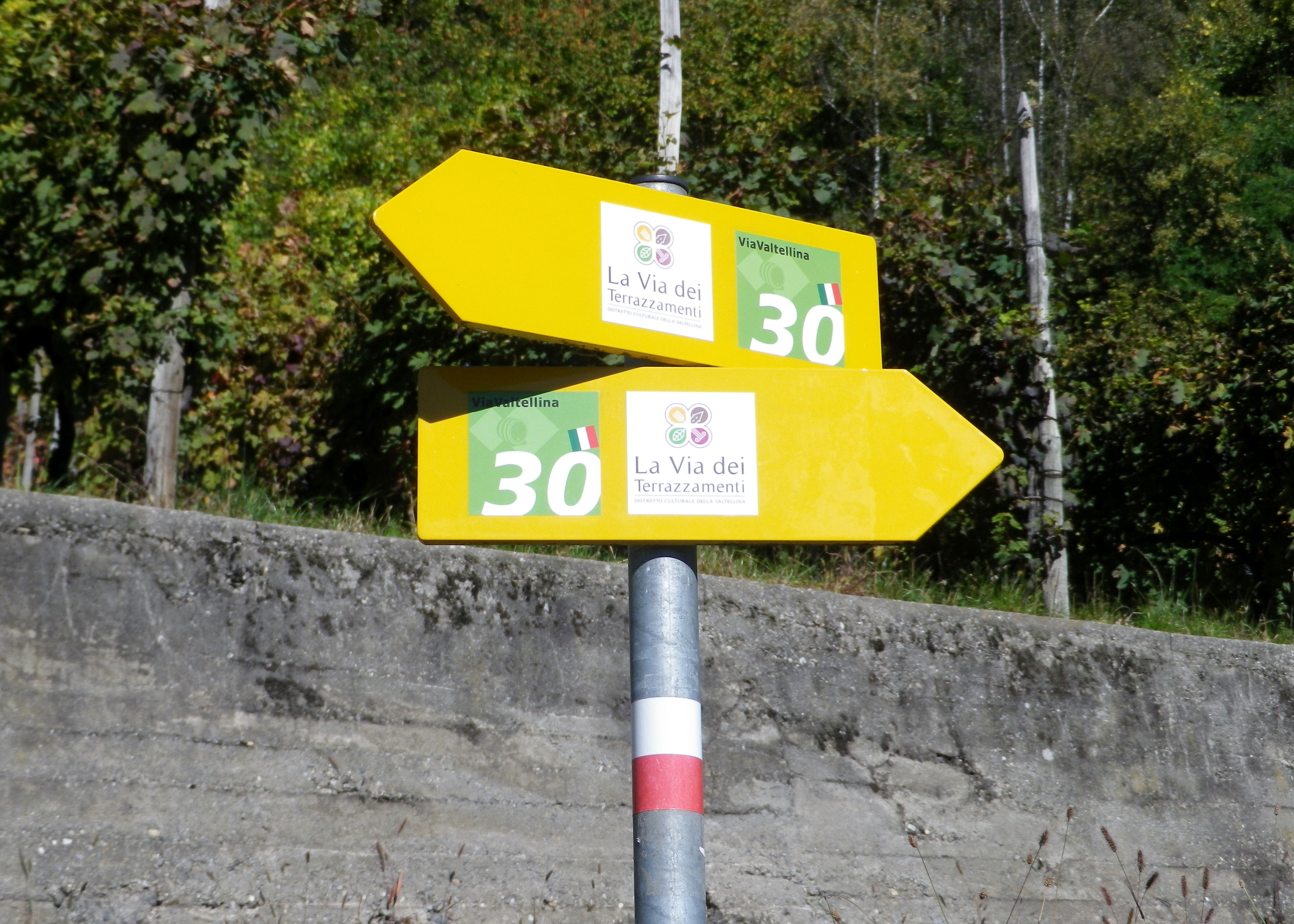
Words “Via dei Terrazzamenti” on a white background with a four-leafed clover design inside; sometimes associated with a metal yellow arrow.
White over red horizontal bars indicate a hiking trail generically
Note: The photo below shows all of the above, with the addition of an extra sign on the yellow arrow, (with a number thirty), indicating a different trail as well.
Trail Description:
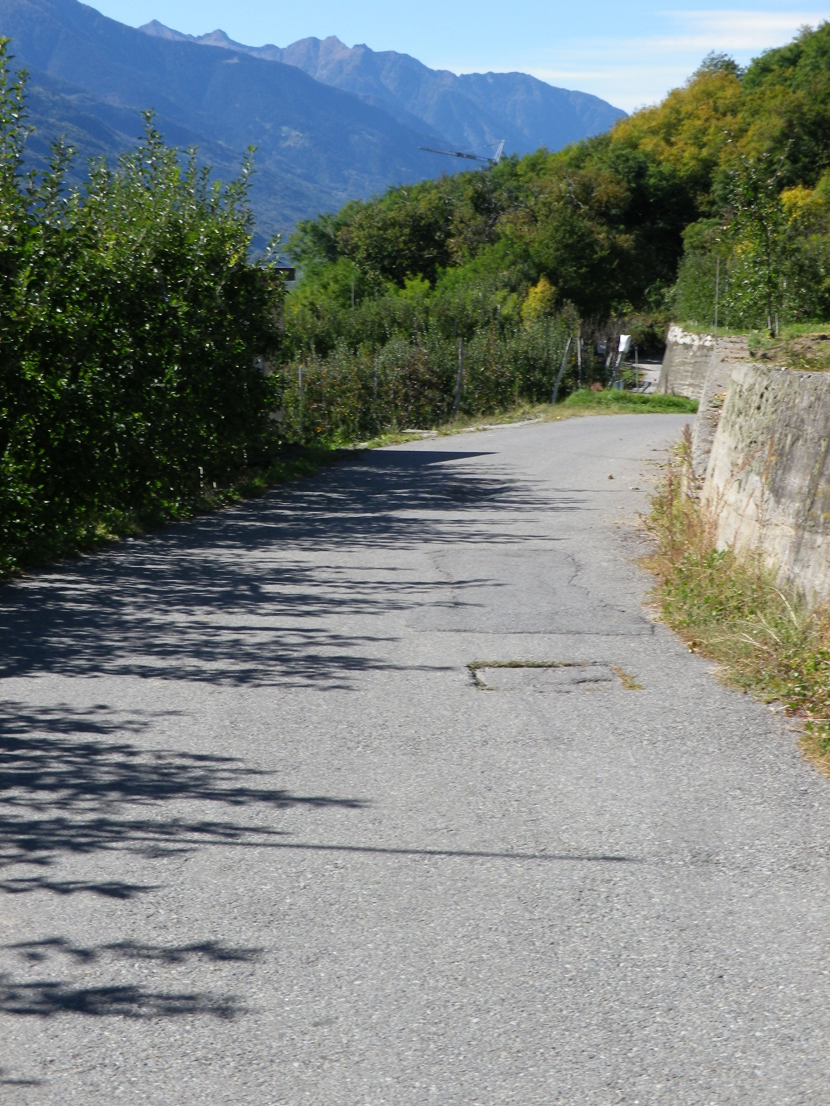
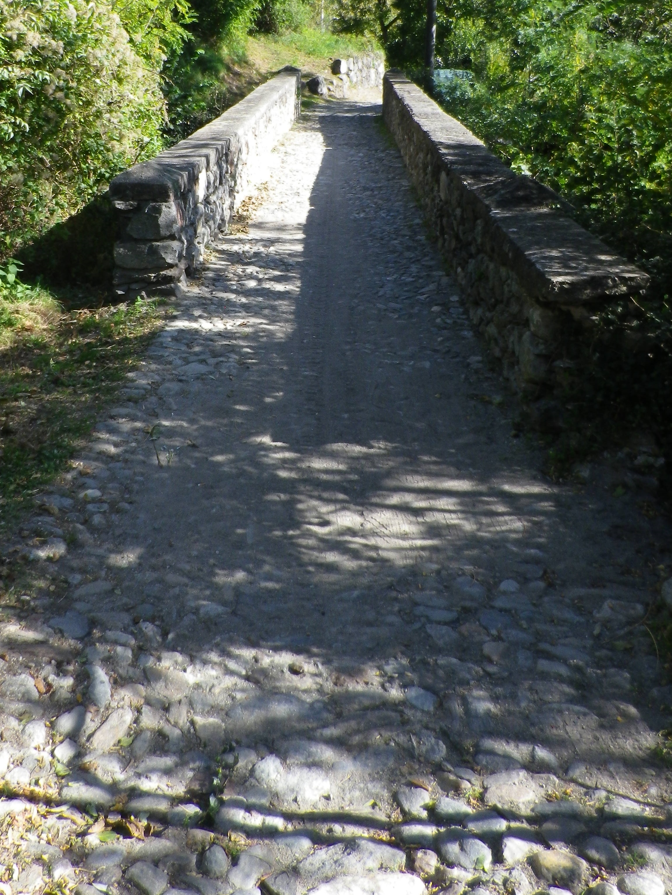
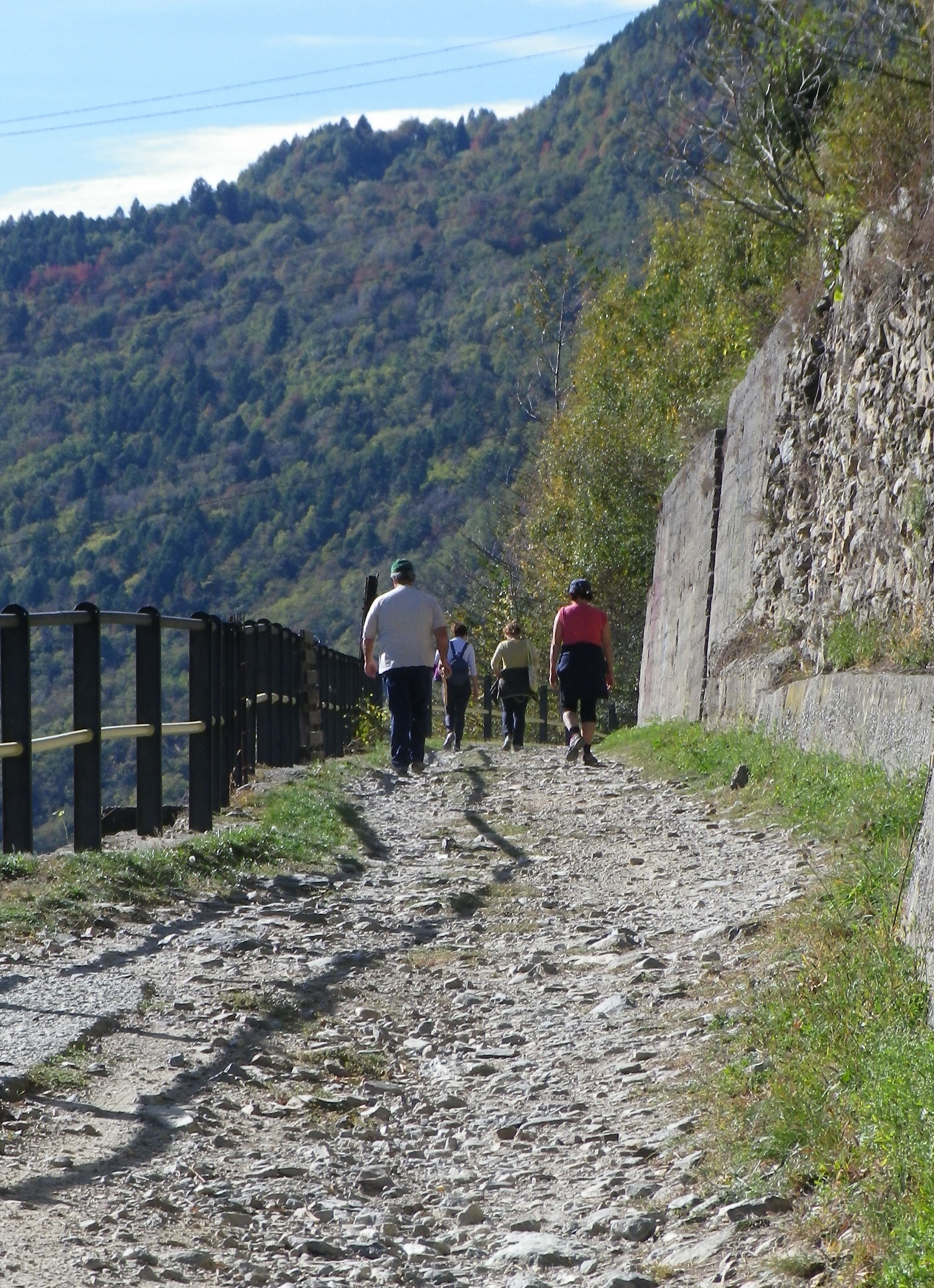
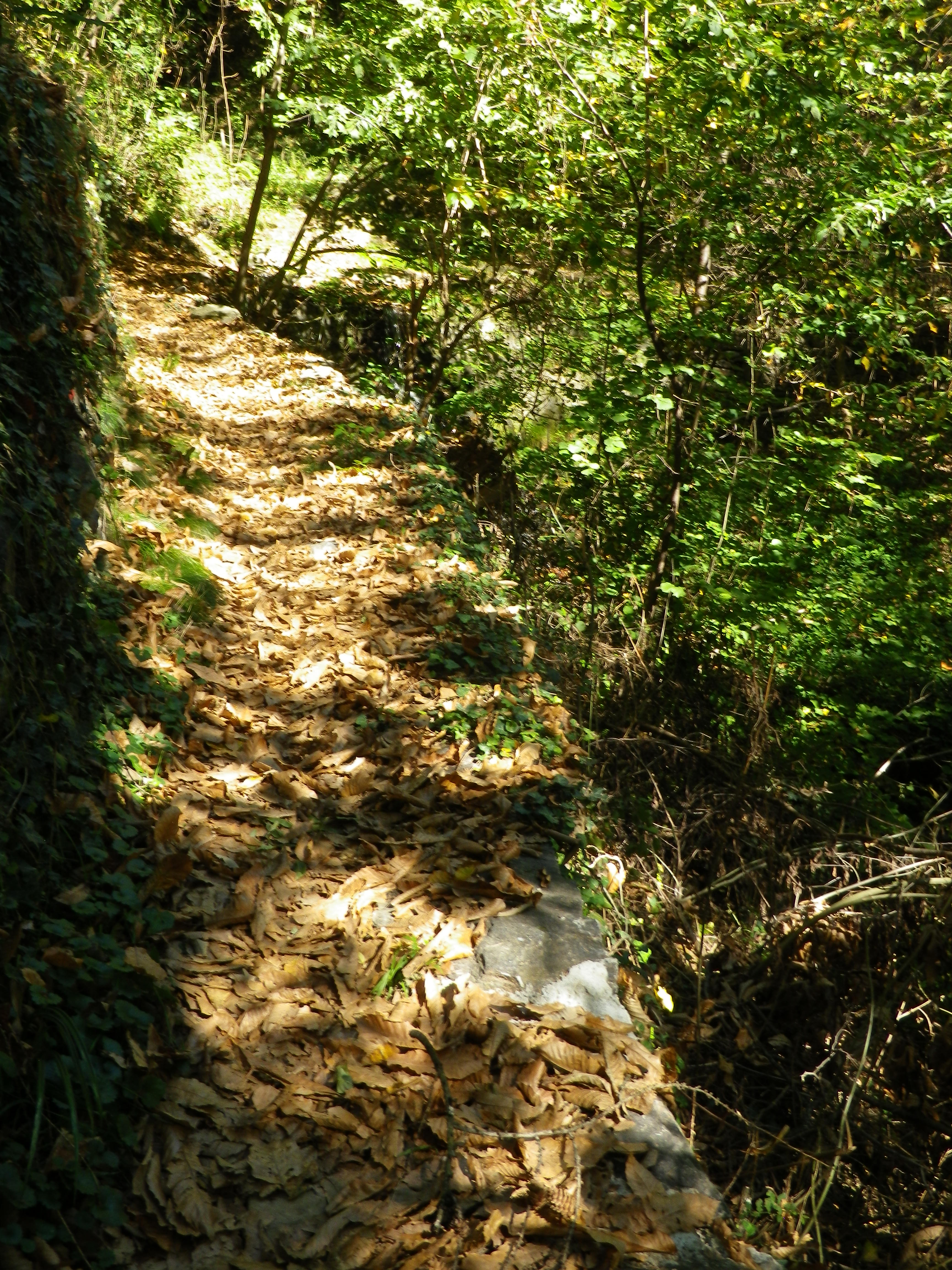
A gorgeous, if sometimes a bit challenging, trail which leads across a variety of surfaces through a variety of landscapes: fields, forests, vineyards, villages, towns. Along the trail, the many turns, and ascents (or descents), means new delights over every crest, or around every corner, with magnificent distant views of the valley, the river and the Alps, and intimate views of small, mostly unvisited, settlements and vineyards.
Trailheads:
Official: Train Station, Via Roma, Tirano to Train Station, Via Prati Grassi, Morbegno
Mine: Chiuro (Area di Sosta al Pontesel, SP 21 Dir D) – Ponchiera (V. Besta Carlo)
Parking:
Tirano: Behind the train station
Chiuro: Rest stop “Area di Sosta al Pontesel”, on edge of town, at the end of SP 21 dir D (at the top of Via Michele)
Ponte in Valtellina: SP 21 (intersection with Via Bondi) (above B&B Via Paradiso)
Montagna in Valtellina: Via Maiolo and Via Maiolo x V. Dosso Castaldo, Via Prada x SP21, and a few spots on Via Prada, V. Madonnina x V. Roma
Ponchiera: V. Besta Carlo, a small off-street lot
Postalesio: by church
Morbegno: Near the train station, on Via Prati Grassi
Public Transportation Options:
Rail: The Colico to Tirano train service, connects Colico, Morbegno, Berbenno, Sondrio, Chiuro and Tirano.
Local buses: Required to reach smaller towns and frazioni directly on the trail (Postalesio, Castione Andevenno, Triasso, Ponchiera, Montagna in Valtellina, Poggiridenti)
Suggested Stages:
Official: (1) Tirano – Sondrio, (2) Sondrio – Morbegno; Each is about 32 and 36 kilometers respectively
Mine: (1) Chiuro – Ponchiera, (2) Ponchiera – Postalesio; Each is about 11 and 13 kilometers respectively
Trail Itinerary-Reference Points: (From Chiuro to Ponchiera only)
Chiuro: V. Castione-V. Torre-V. Medici-V. Madonna di Campagna, vineyards; Ponte in Valtellina: Via Chiuro, V. Giuseppe Piazzi, V. dell’Asilo, Alleyways up to SP 21, cross and take ramp uphill to V. Berola, past/near Osteria Sole; right onto path through vineyards; V. Roncola, Cross Torrente Rhon, then immediate right (sign for Il Roveto), V. Ligne, path on left down to V. Gaggine, through woods, V. Selve (past B&B Nur), past top of Sentiero del Torchio, V. Rusconi; Cross Torrente Rogna; Poggiridenti: V Ferrari-V Piazzo, follow Via S. Fedele (either left or right, or straight) to V. S. Fedele x V. Roma x V. Garzeda, V. Zocca-V. Torchio-V. (Dosso) Castaldo; Montagna in Valtellina: V. Maiolo-V. Risc dei Mort, V. Poncerini (alt: V. Roma-V. Madonnina, where both tracks rejoin at church and fountain), V. Madonnina Dosso (or V. Carletti), to V. Sant Andrea Avellino; Cross over water pipes/spillway, path above vineyards; Ponchiera: Loc Scherini, down Fraz Ponchiera, past Autonoleggio Alpe di Ciappini, to church on Strada della Prudenza down to V. Besta Carlo. Masegra Castle
Representative Trail Photos:
Attractions on or near Trail:
Sondrio: Historic city center, Castle Masegra (seasonal hours), but none specifically related to viniculture
Various locations: educational boards in English and German, as well as Italian
Tasting along the Trail:
Chiuro and Teglio have the most wineries along this segment of the trail. Sondrio has many restaurants and bars which offer local wines.
Alternative Options:
Biking: This 114 kilometer/71 mile bike trail, beautifully maintained, begins east of Tirano, and continues to Colico, on Lake Como. See the Nutshell here, and https://www.valtellina.it/en/bike/cycling-tourism/routes/sentiero-valtellina
Additional Information:
Regional: https://tirano-mediavaltellina.it/ https://www.valtellina.it/ and https://www.visitasondrio.it/site/en/home.html
Trail specific: https://www.visitasondrio.it/site/home/ispirati/vacanza-attiva/trekking-e-passeggiate/via-dei-terrazzamenti.html
Comments:
There are some official variations on this trail, to include routes to and from the train stations.
Some of the buses serve the small villages very infrequently, especially on weekends