
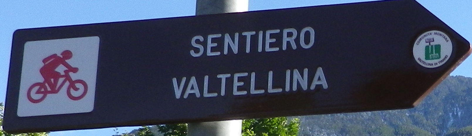
Trail Name: Sentiero Valtellina
Trail Type: Long distance cycling trail; mostly hard-packed gravel or paved, well maintained and marked.
Length: Circa 94 km
Convenient to: Sondrio, Lombardy, Italy
Marking: Brown arrow with words “Sentiero Valtellina”
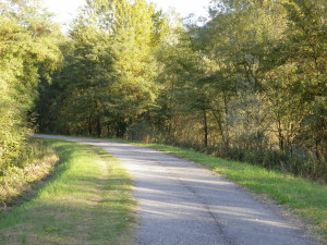
Trail Description: A beautifully organized and well-maintained, mid-distance dedicated bike path, this mostly level route follows the Adda River as it wanders through fields, woods and towns, on mostly dedicated bike path, with only a couple of road stretches. Along its course, cyclists experience expansive views of the Alps and the vineyards on the opposite side of the river. Starting near the head of the river valley near the Swiss border, it ends on Lake Como.
Trailheads:
Grossotto/Grosio: a few hundred meters north of the intersection of SS38 and Via Centrale (official)
Tirano: Train station
Colico: Train station (mine)
Parking Possibilities:
Grossotto/Grosio: unknown
Tirano: behind the train station, off Via Calcagno. Free, large, and overnight parking
Pietada: at bridge, off Via Stazione
Sondrio: Small unmetered, untimed parking spots along the trail, north of the river, and south of SS38, east of Via Vanoni.
Colico: Train station area has paid daily parking lots, so does the large lot off Via Montecchio Nord. I did not find any free or overnight lots.
Public Transportation Options:
Rail: Trains run from Colico to Tirano, connecting most of the major towns along the trail (Colico, Morbegno, Talamona, Berbenno, Sondrio, Chiuro, Tresenda, Bianzone, and smaller intermediary stops).
Ferries: Link Colico, on the northeastern side of Lake Como, with western and more southern towns on Lake Como. Permission is required to board with bikes, so check with the ticket agent, who will ask the captain. (If crowded or rough, bikes might not be allowed on-board.) No bikes allowed on hydrofoils. Also, usually a transfer at Gravedona is required for more southerly destinations.
Suggested Stages:
Grossotto/Grosio – Sondrio: 44 km (approximately 13 Kilometers less if starting at Tirano)
Sondrio – Colico: 49 km
Note: Consider starting (or ending) at Tirano, because of available parking, direct access to the regional train, and good tourism infrastructure.
Representative Trail Photo:
Attractions on or near the Trail:
Treno Rosso del Bernina: world famous special train from Tirano through breathtaking Alpine scenery to the famous Swiss resort of St Moritz, about 2.5 hours away.
Alternative options:
Walking: Walkers (and rollerbladers) can also use this path.
Driving: SS38 (State highway 38) connects the upper and lower valley, passing through many of the wine towns, and is known as the Strada dei Vini Valtellina (Valtellina Wine Route).
Additional information:
Regional: http://www.valtellina.it/eng/
Trail specific: http://www.valtellina.it/Attachment?id=ZEKG , and http://www.valtellina.it/Attachment?id=ZEKH for mobile devices.
Comment:
The whole route could be completed in a day, albeit a long one.
Most wine estates lie between Tirano and Berbenno di Valtellina.