Category Archives: Hiking

Uniquely Special in Alsace


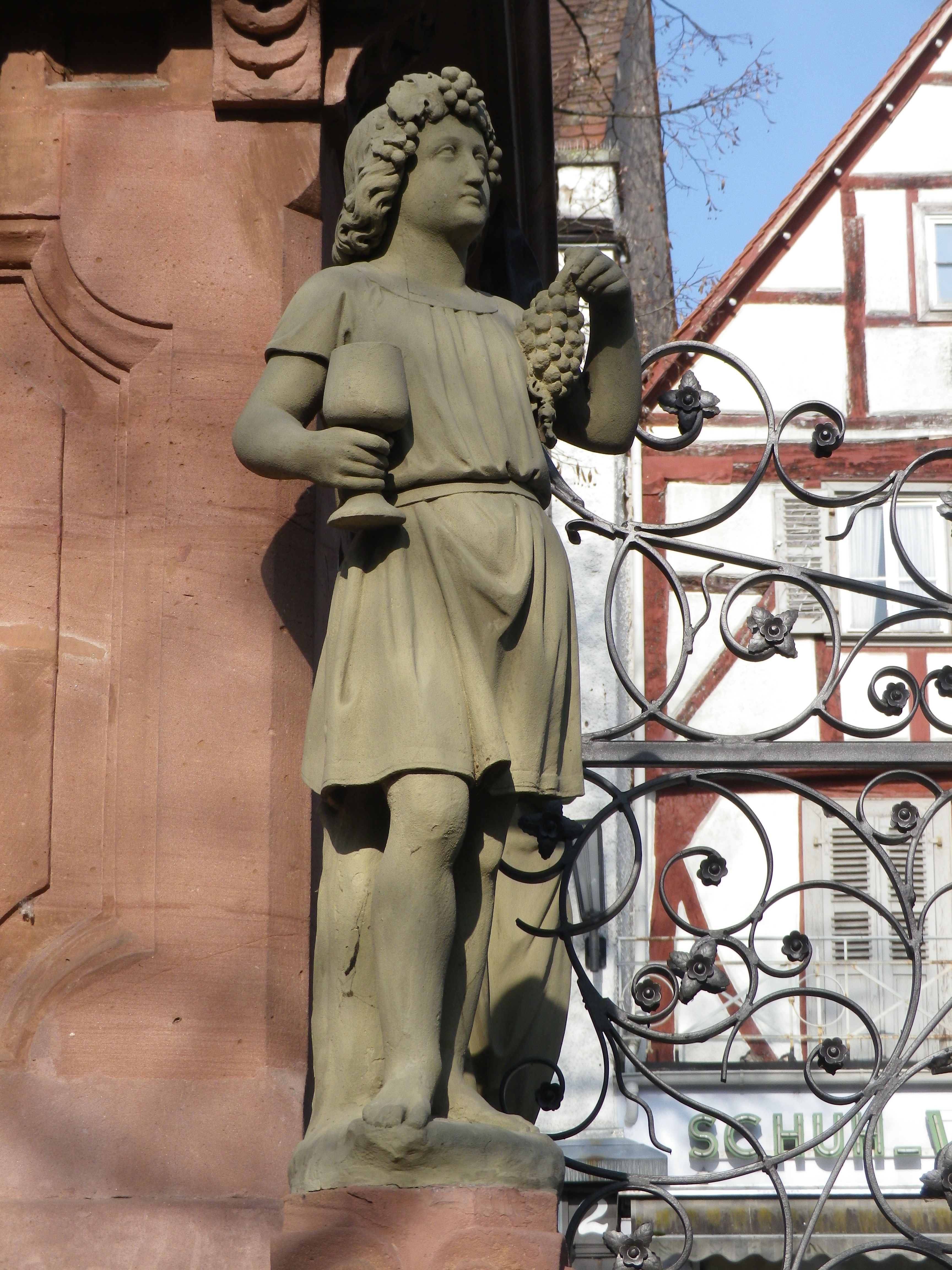
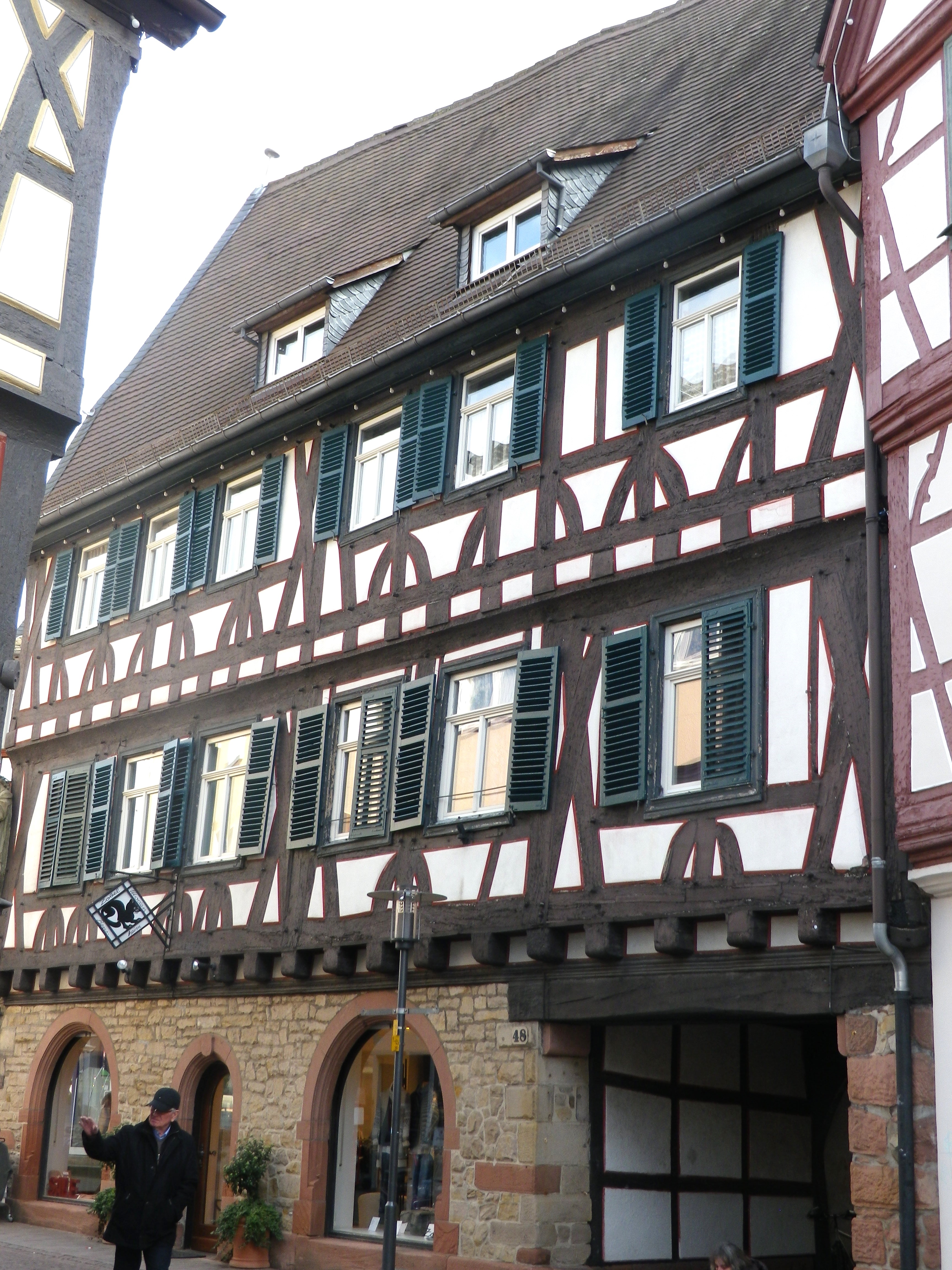
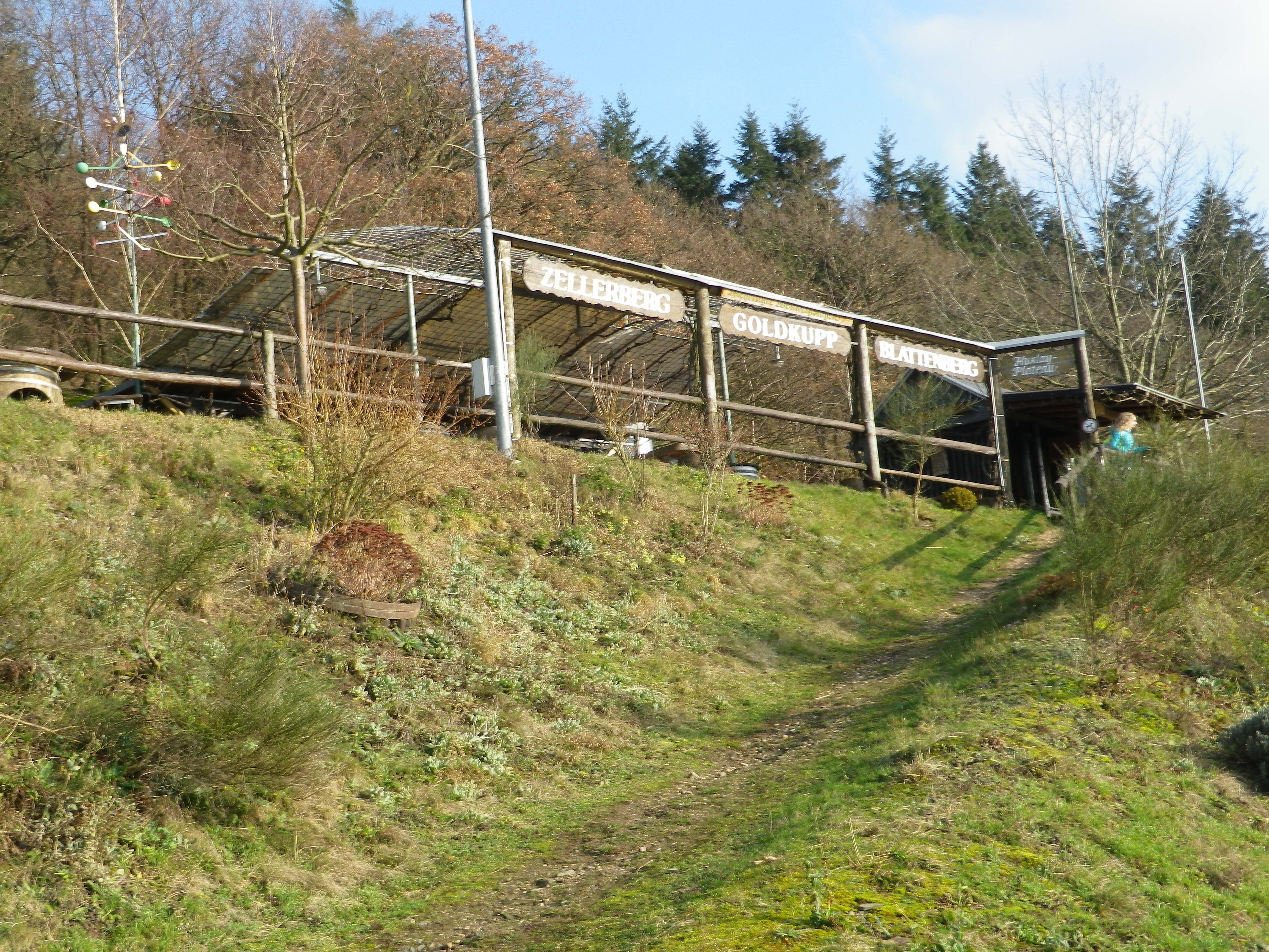
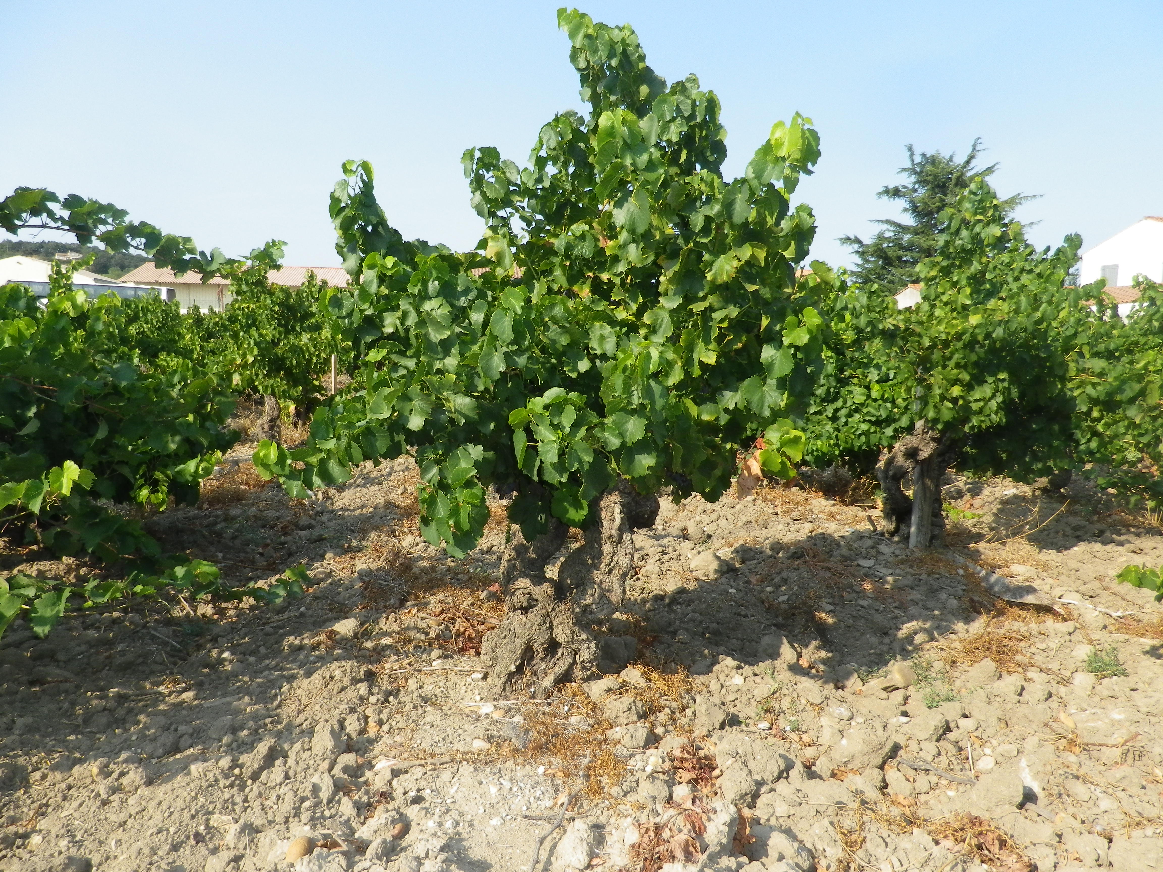
There’s the Abbey of Truttenhausen, the Roseraie (Rose Garden), the Bear Fountain, and the famous (-for what, I don’t know-) Linden tree. All count among Heiligenstein’s attractions. I, however, was attracted to the grape vines. In Heiligenstein (and neighboring villages), the grape is the Savagnin rose, unique in Alsace. Heiligenstein’s vintners produce a special wine from this grape known as Klevener de Heiligenstein, a special aromatic wine reminiscent of Gewuerztraminer.

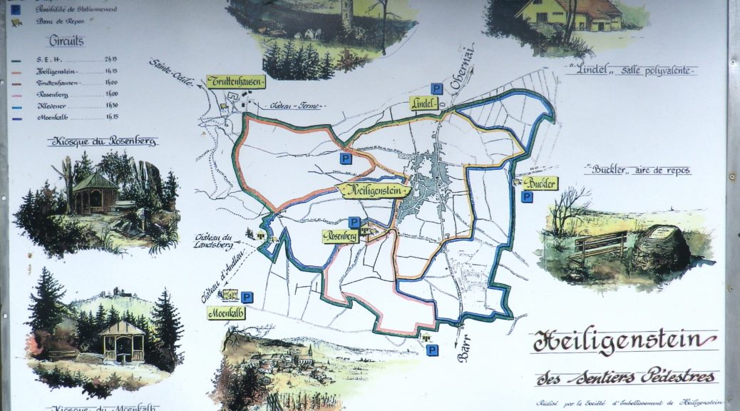
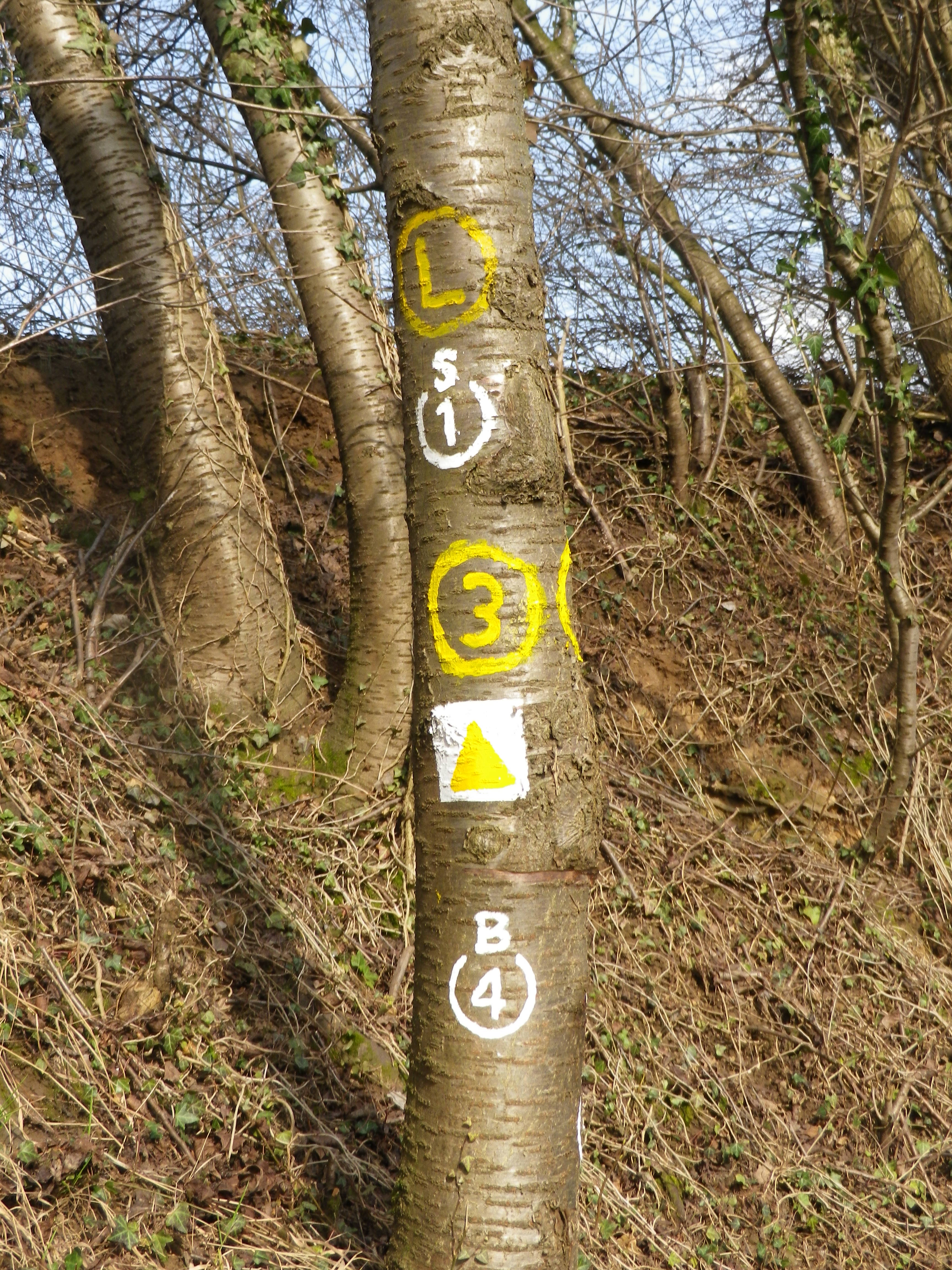
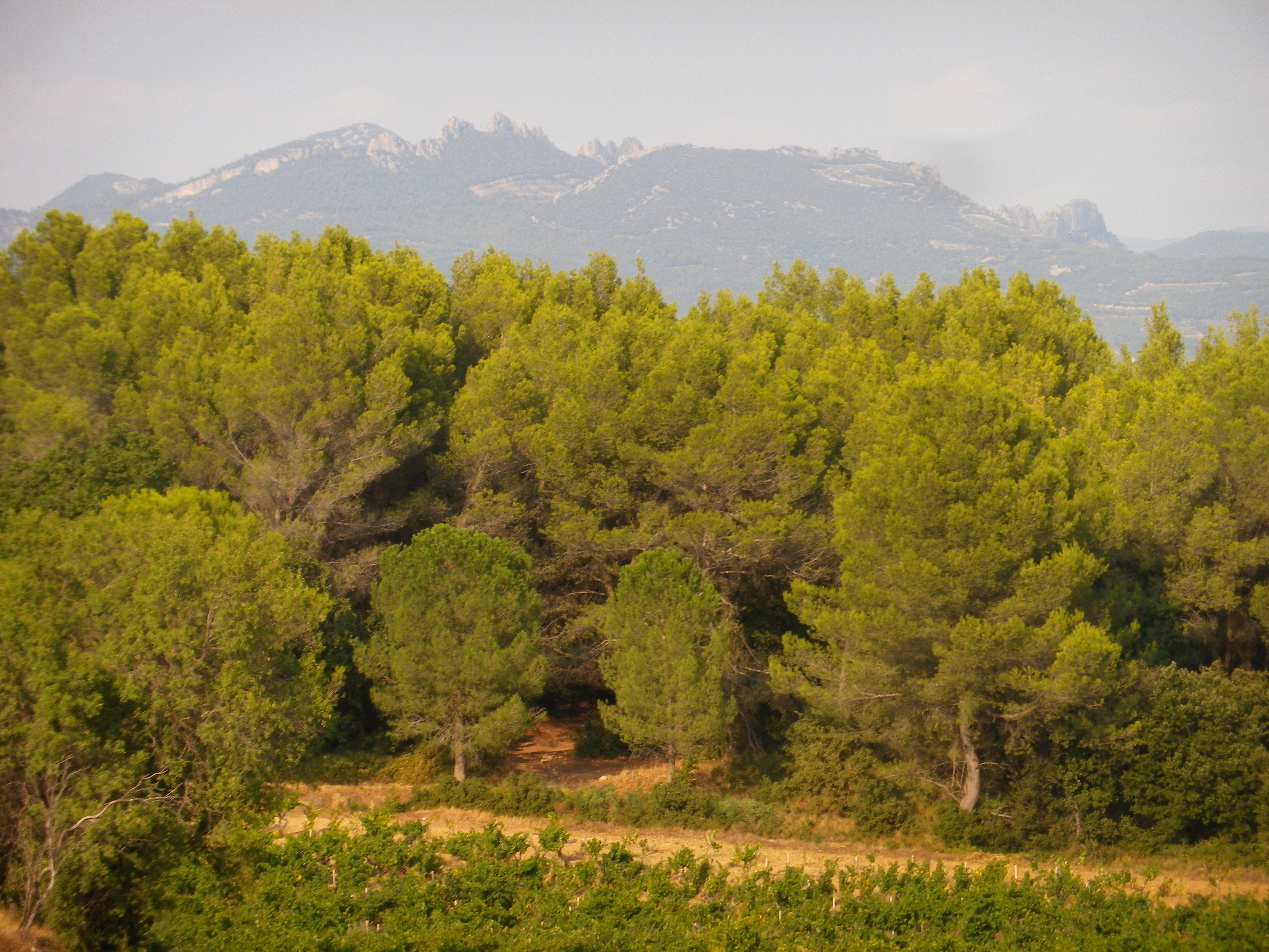
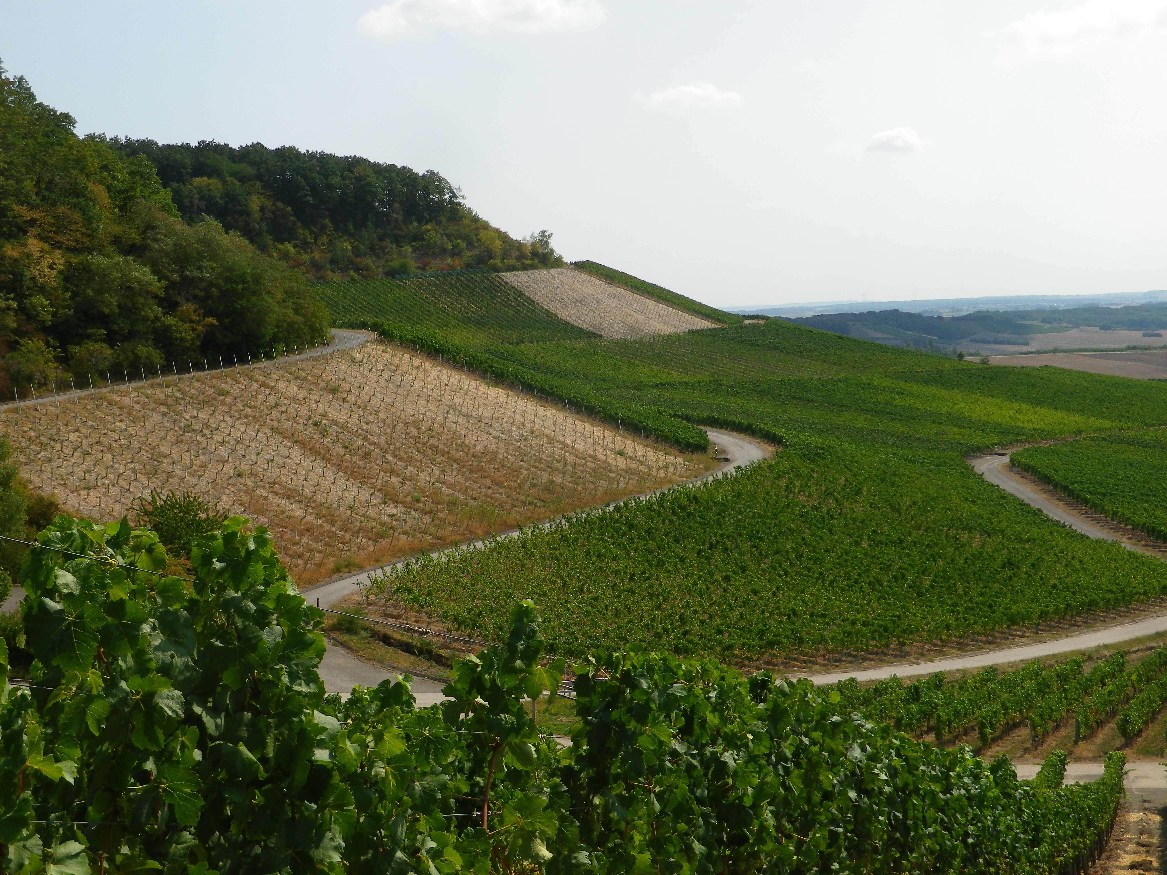
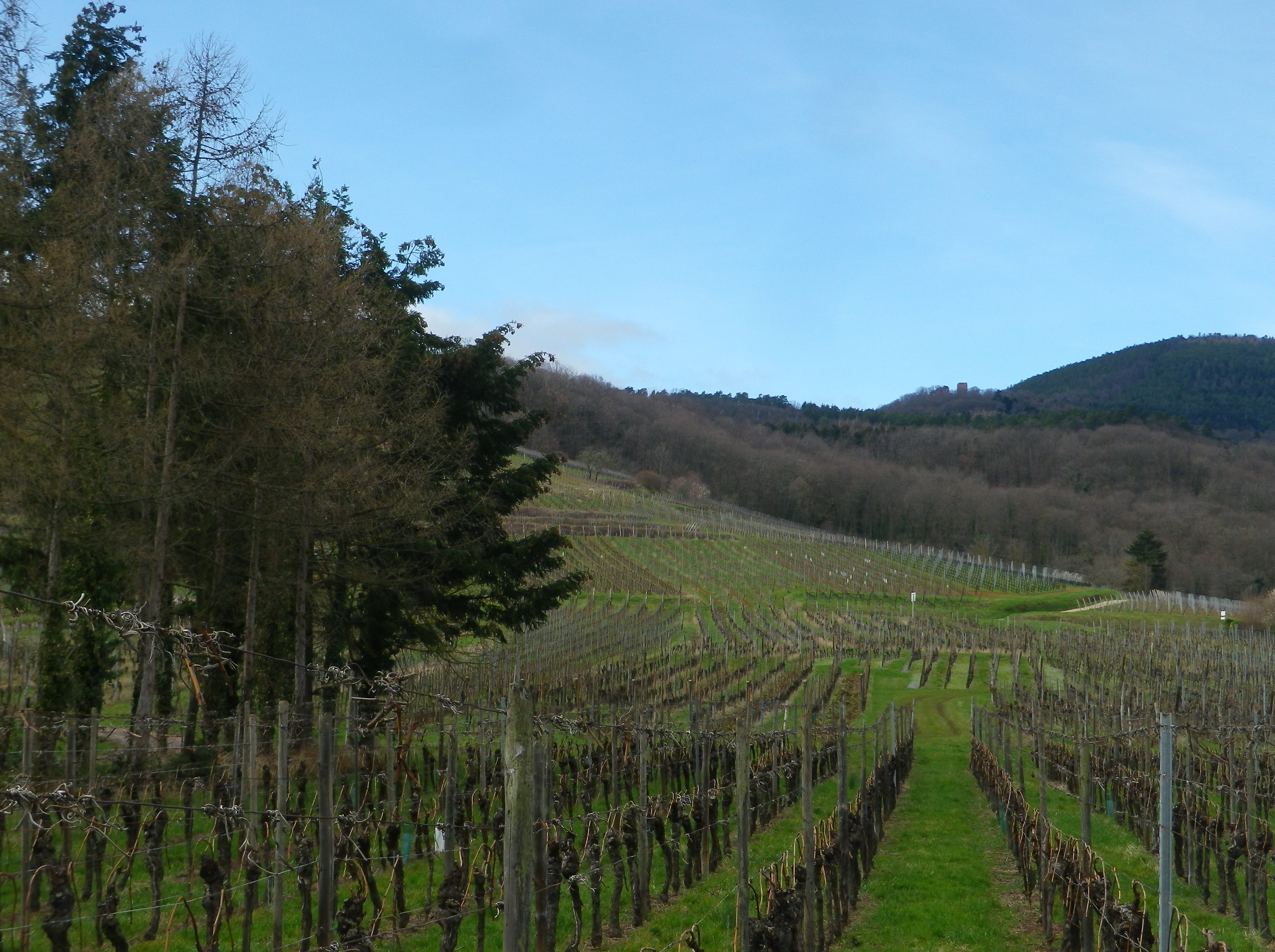
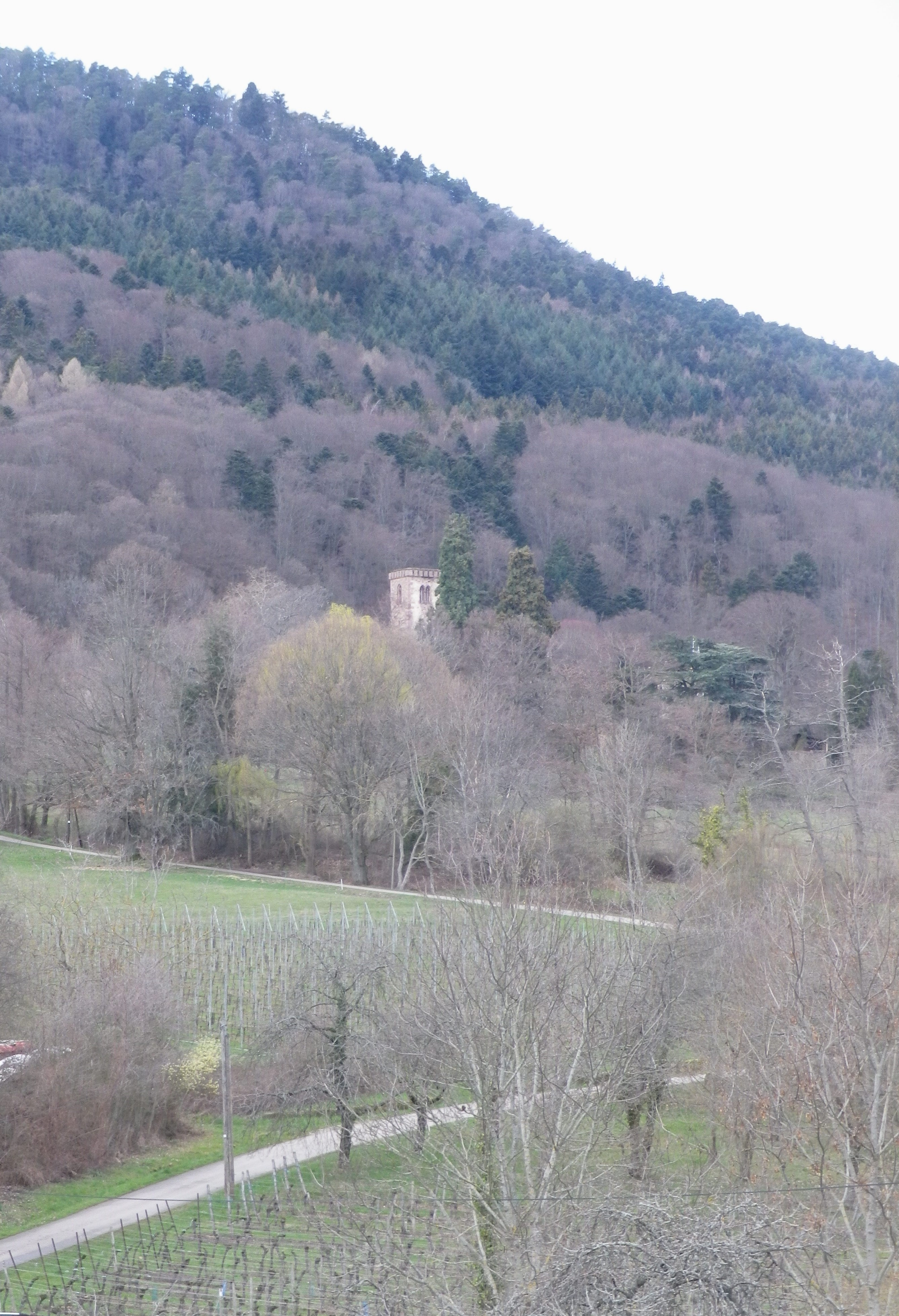
Fortunately, Heiligenstein has a number of hiking itineraries (and cycling itineraries) that pass through its vineyards. I selected one, a circuit, and computed the time I needed to finish before the wineries closed and the winter sun set behind the mountains. Mount Saint Odile lies to the west of the village. While only half the height of the tallest peak in the Vosges range, it rises sufficiently abruptly from the small town to form a protective barrier from the wind and cold.

Heiligenstein Vineyards

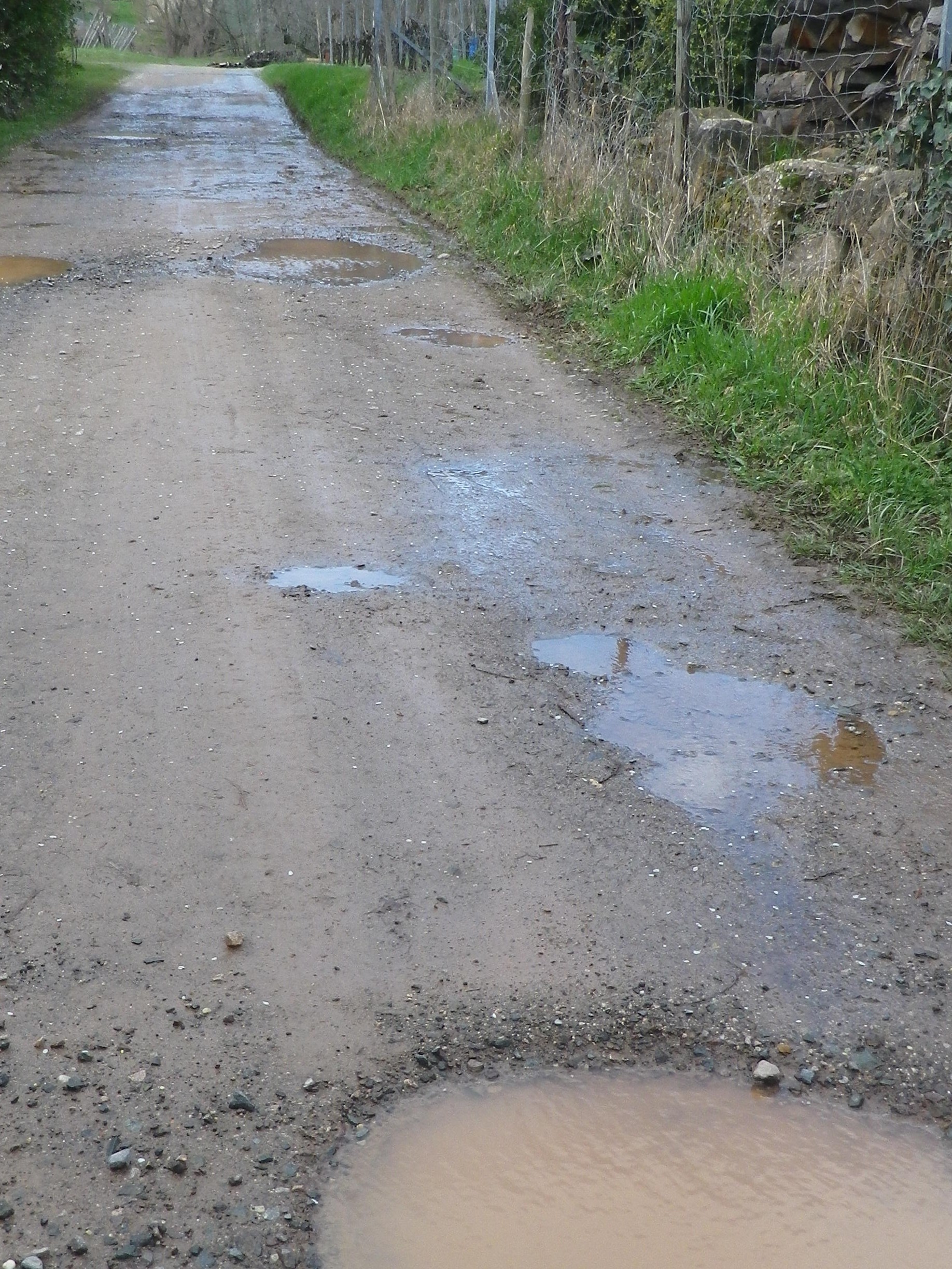
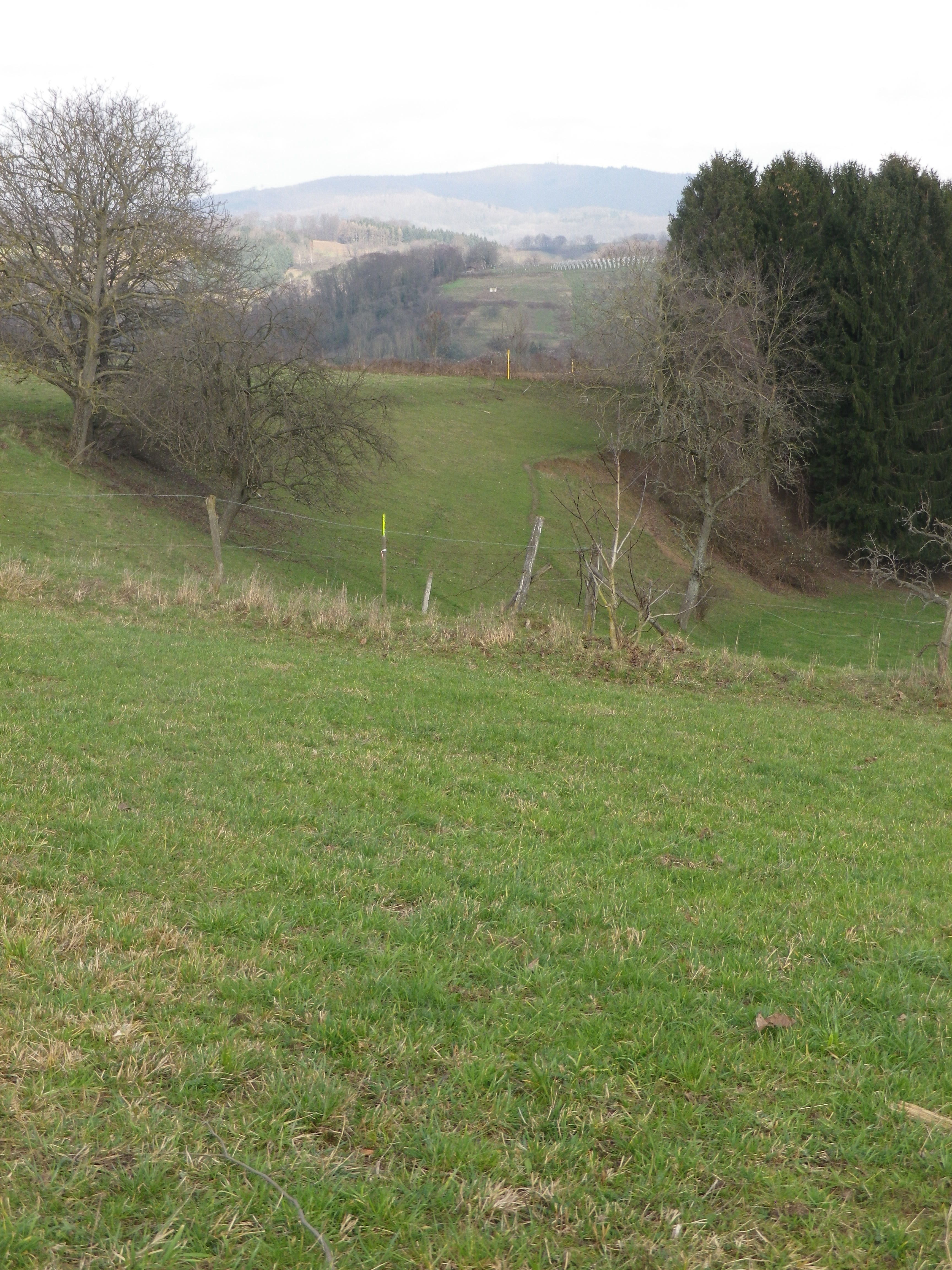
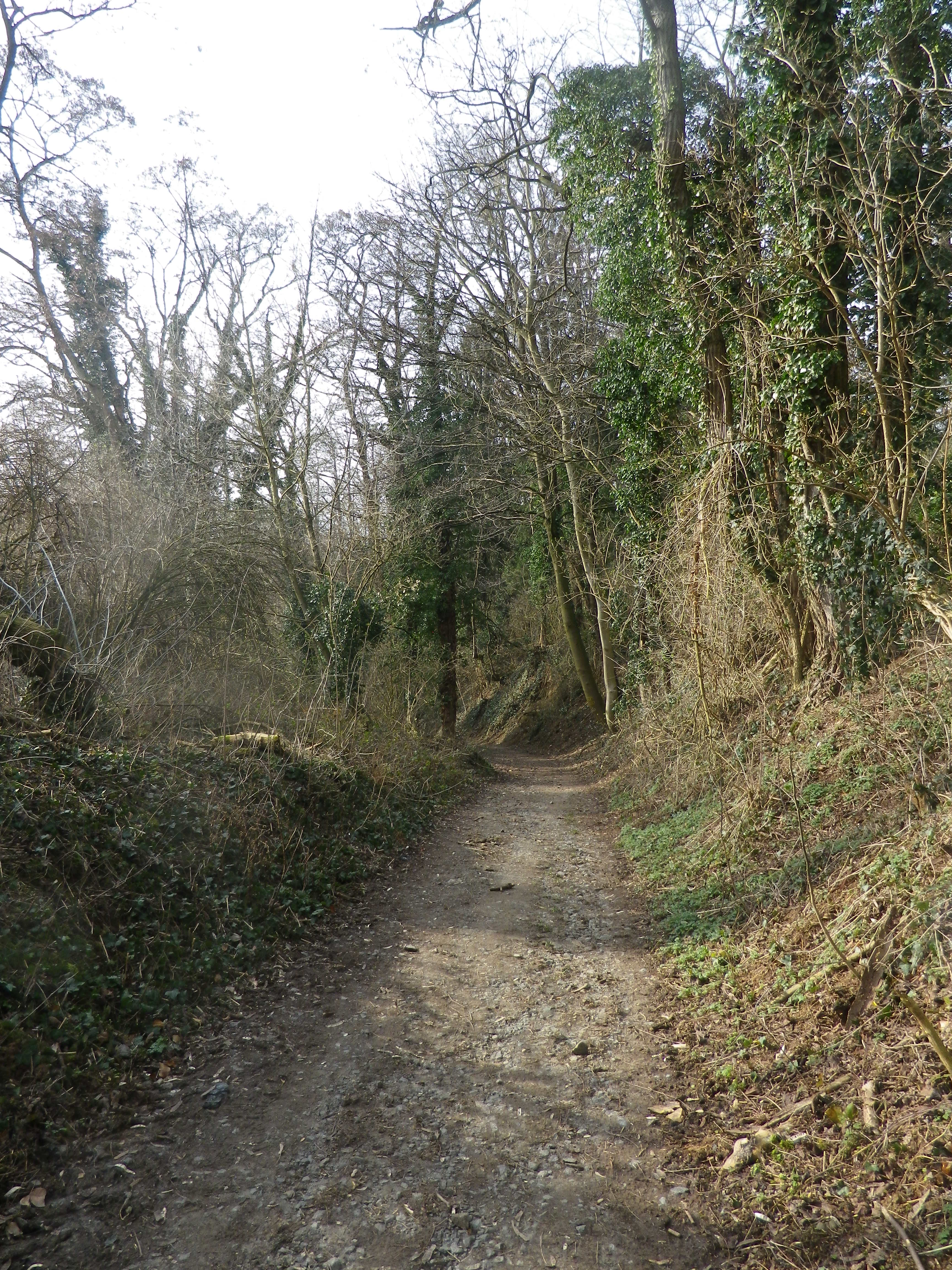
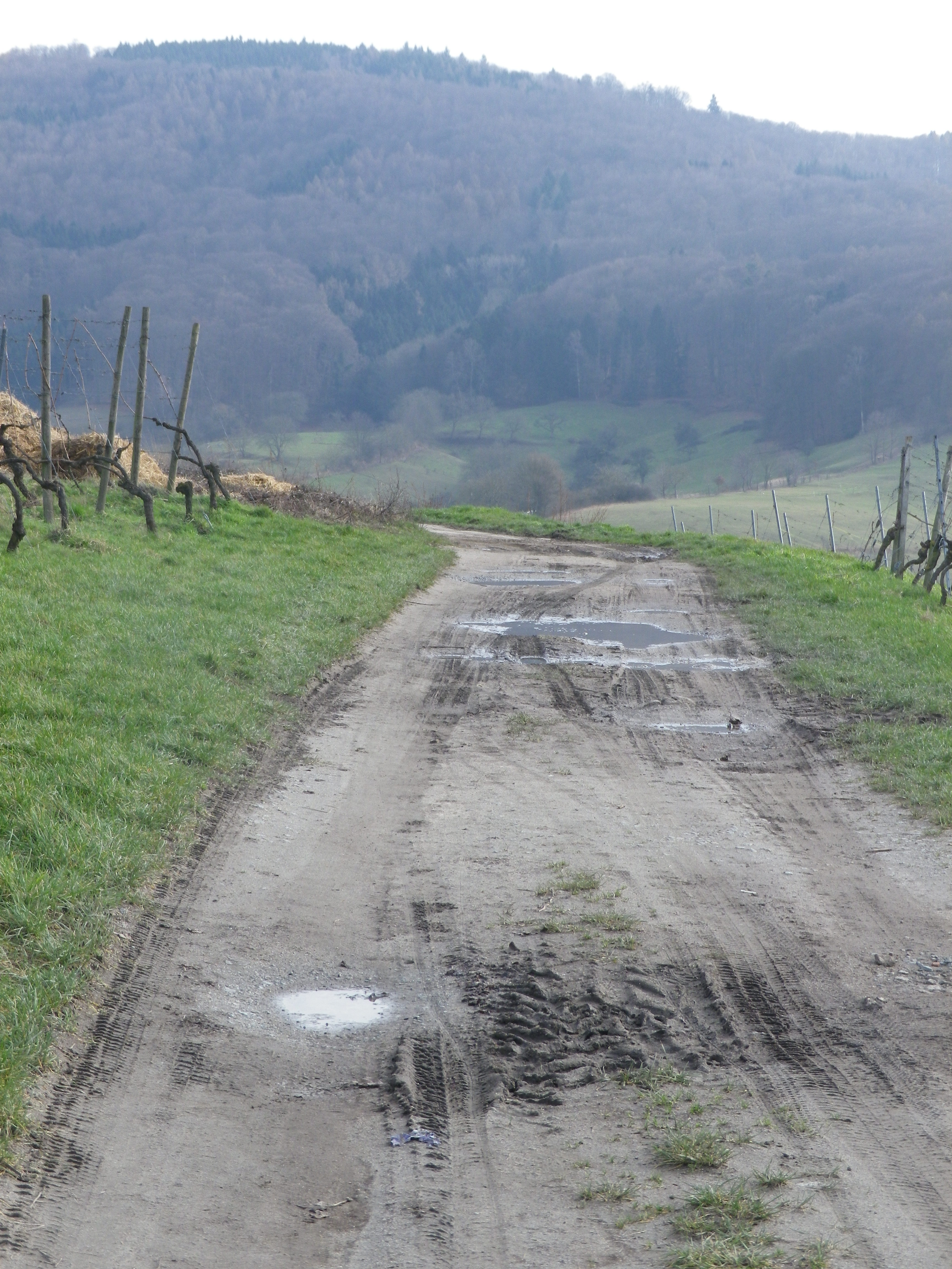
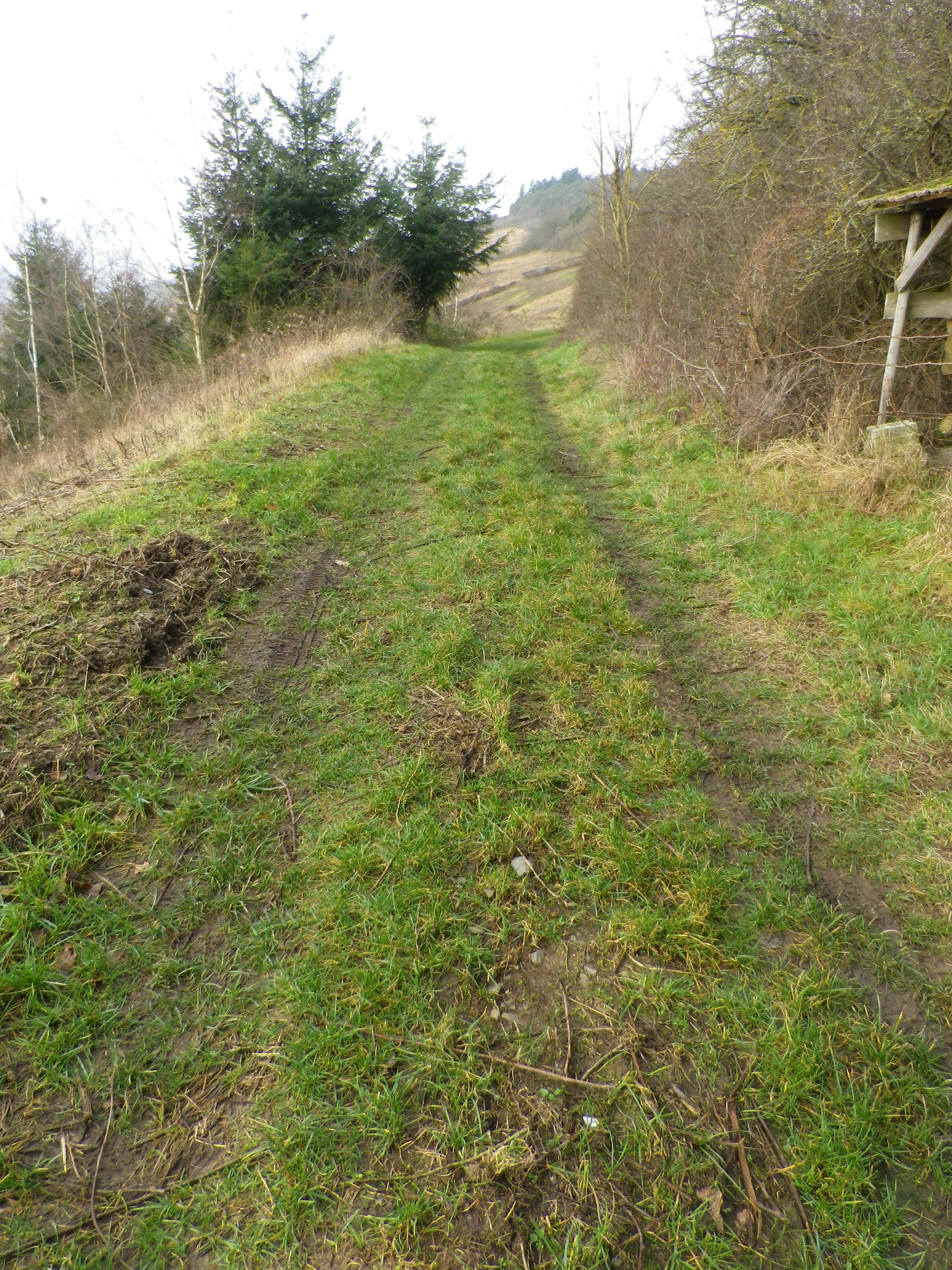
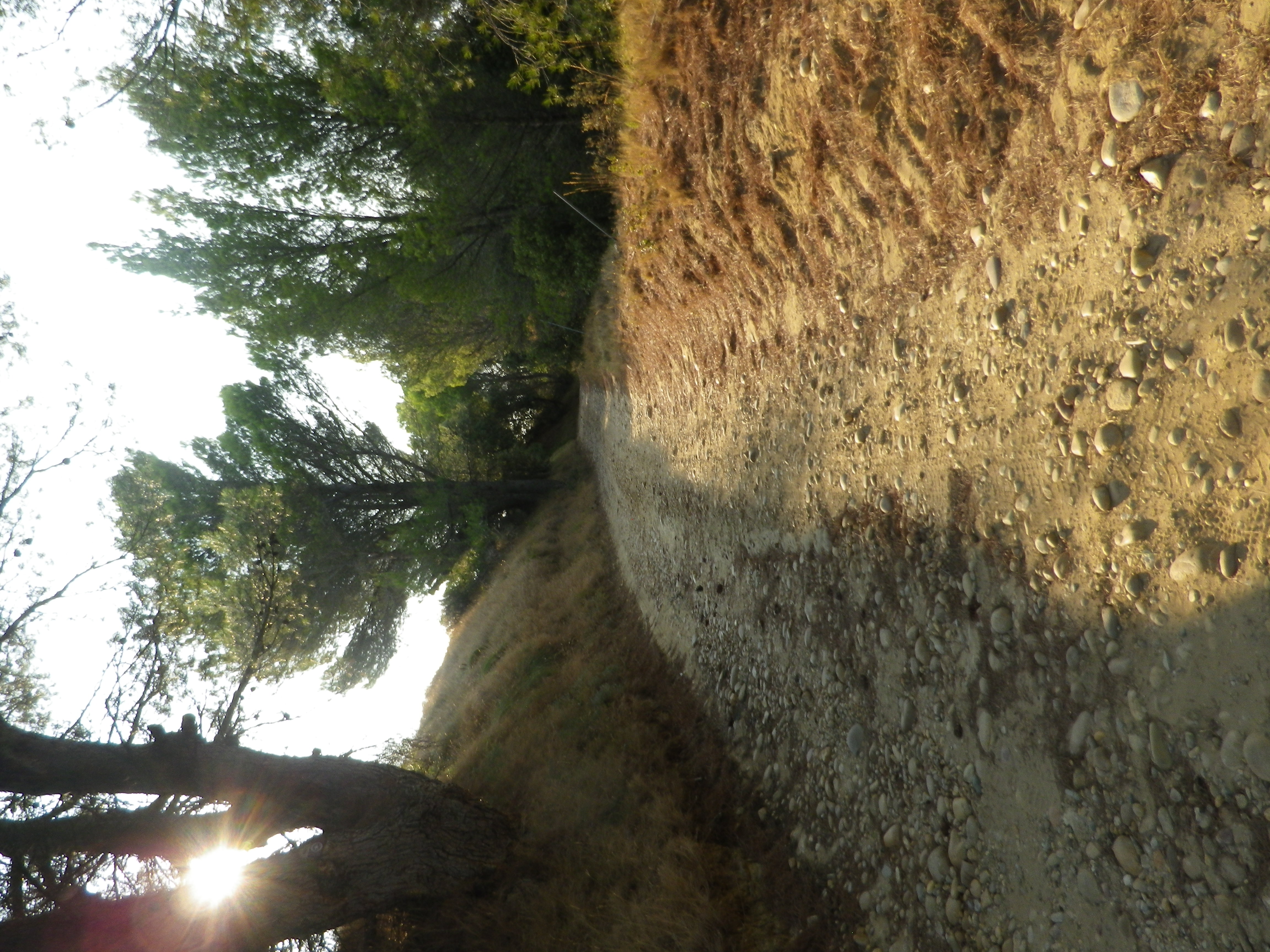
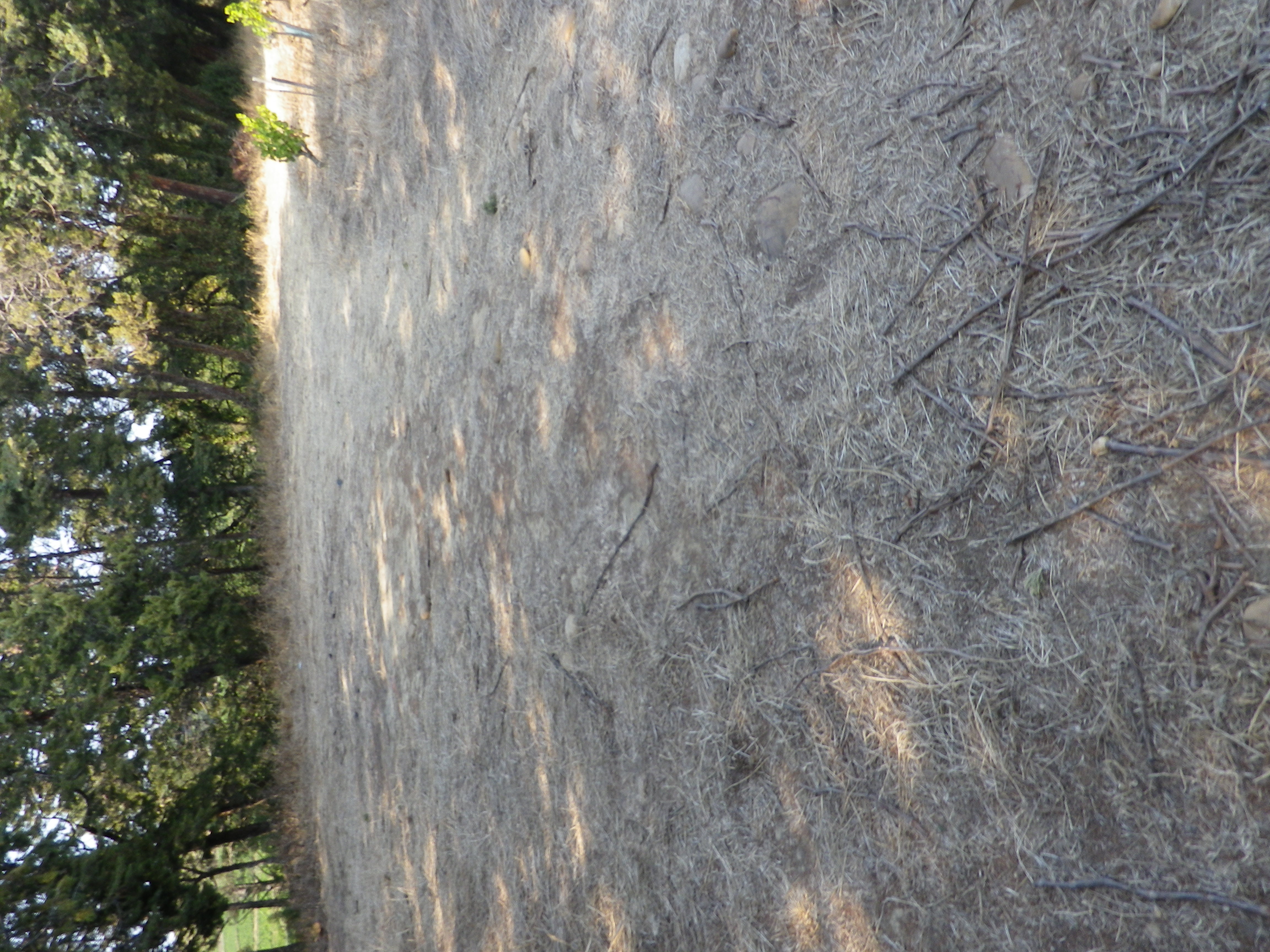
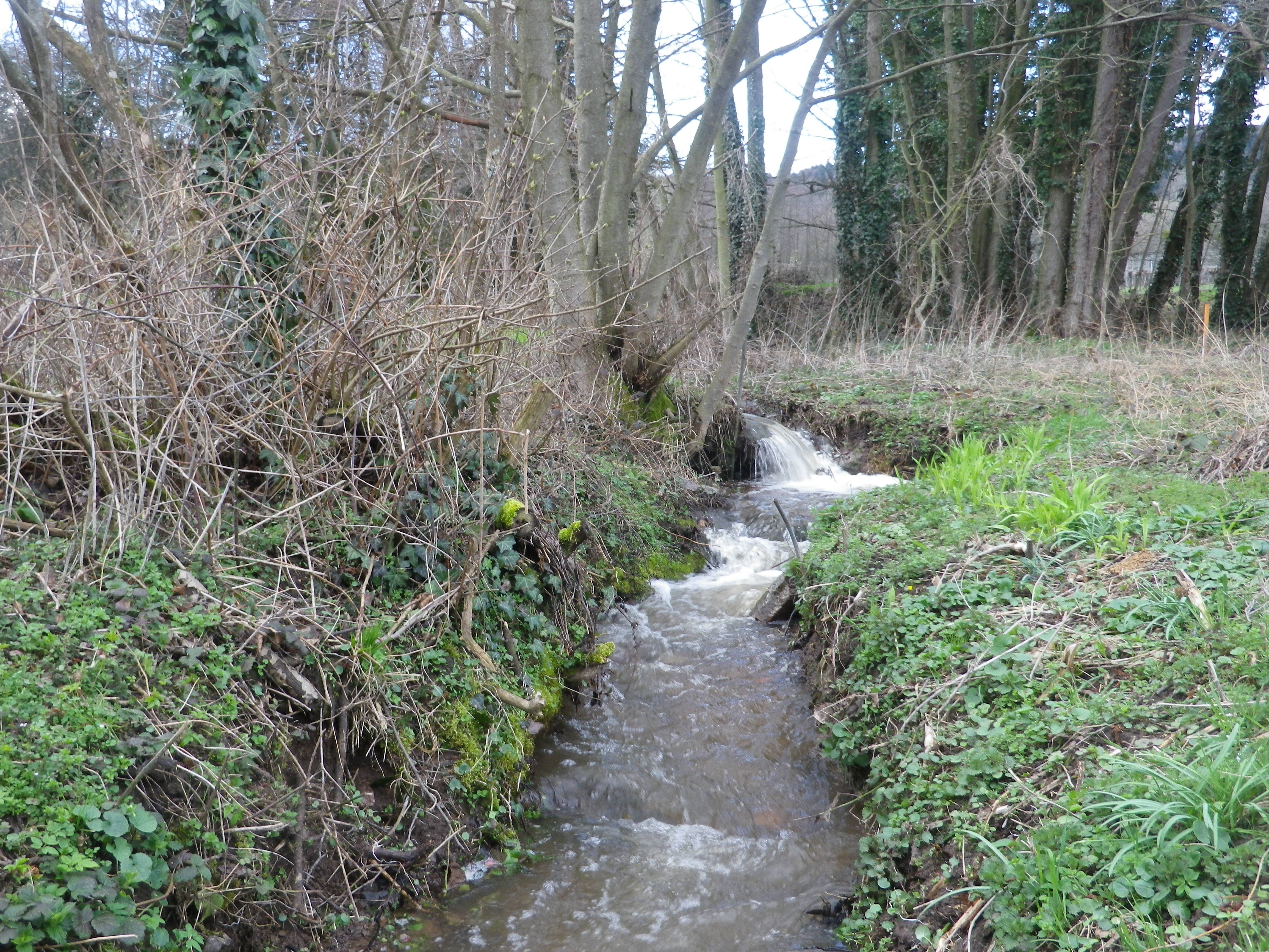
Thus, on a late February afternoon, the trail conditions were snow and ice free, even if it had been a bit rainy. No games or practices that day (maybe rain delays?), so the parking lot at the sports field was empty. Thus, it was a quiet start heading toward the mountain, but not a gloomy one. Rays of sun occasionally poked out from behind the clouds. Bright green was everywhere, even in winter, watered by the springs and rivulets that bubbled and burbled from the mountain side.

Creek from the Mountain

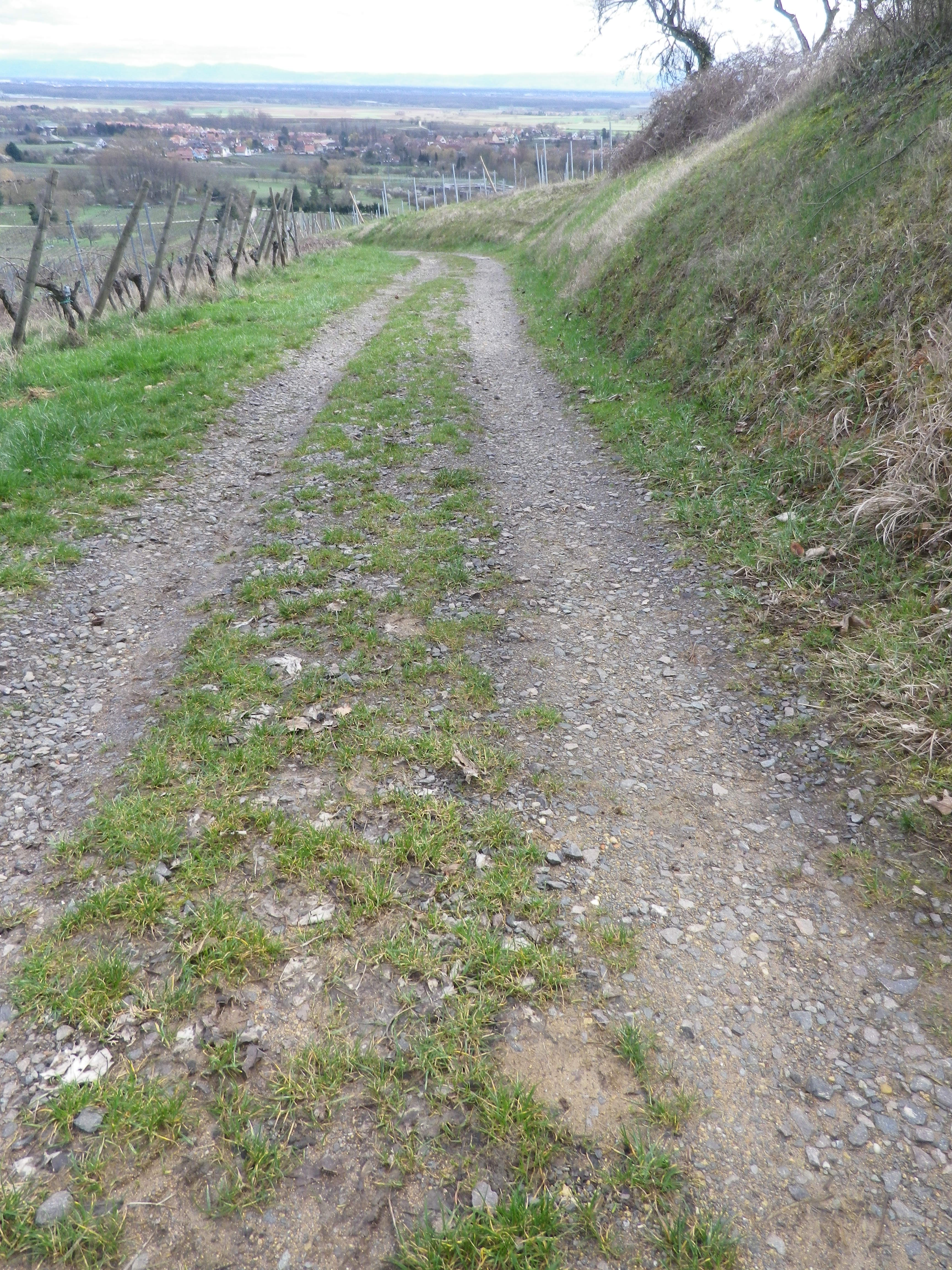
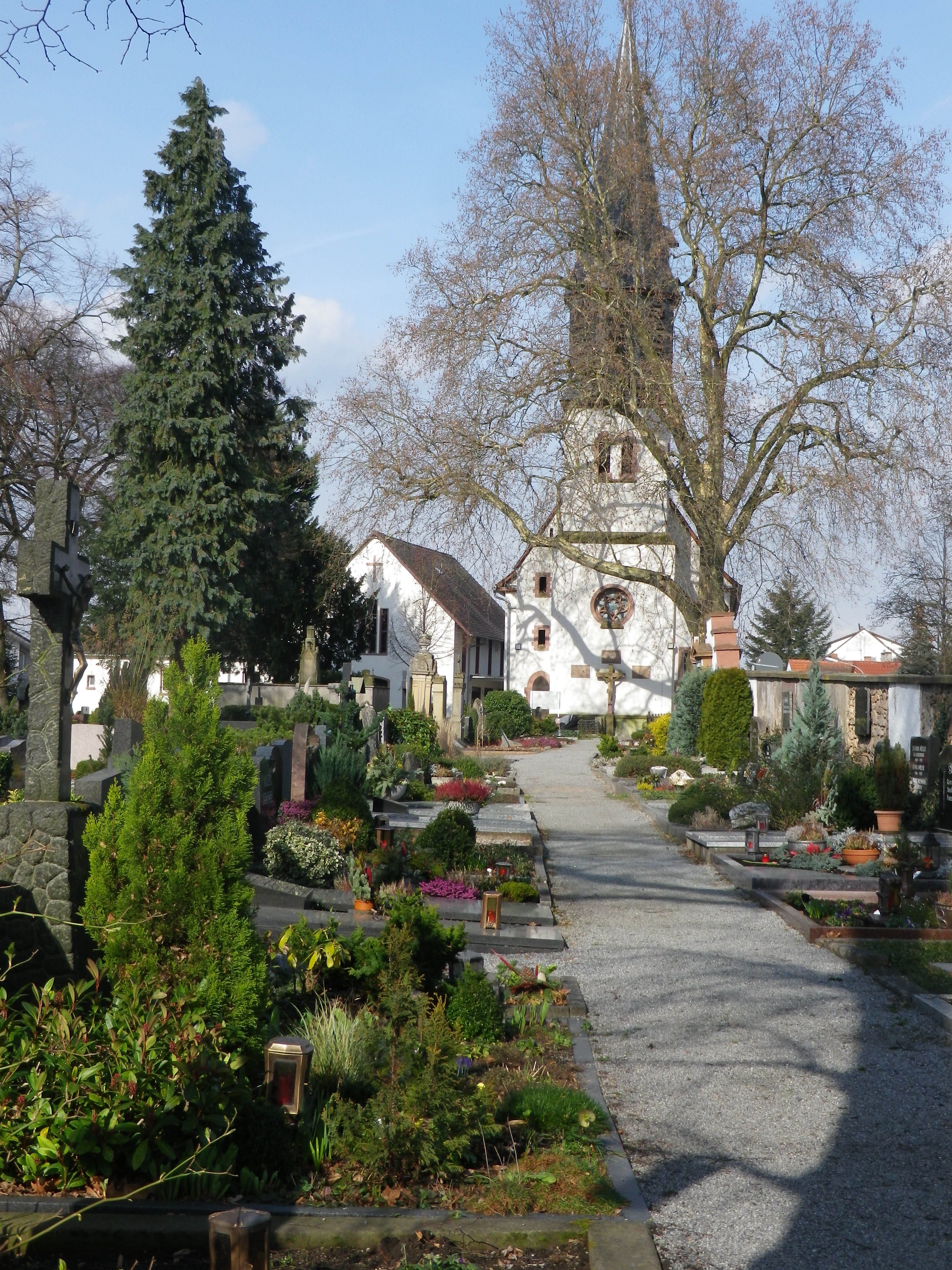
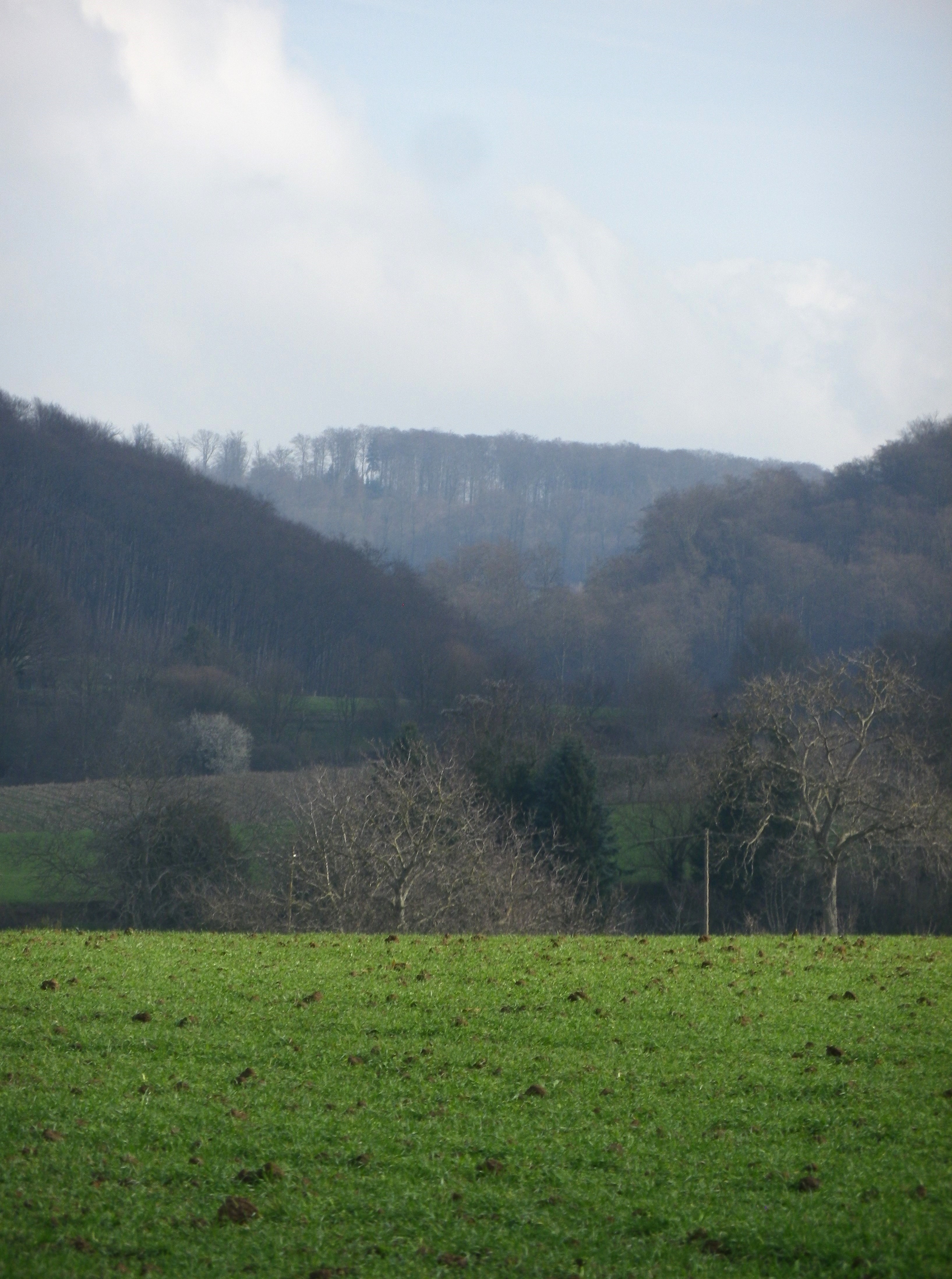
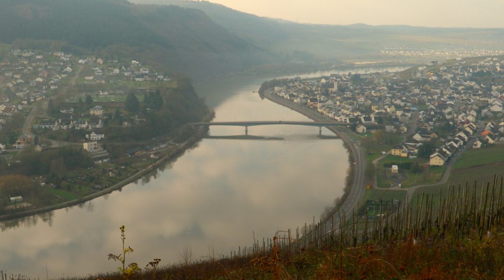
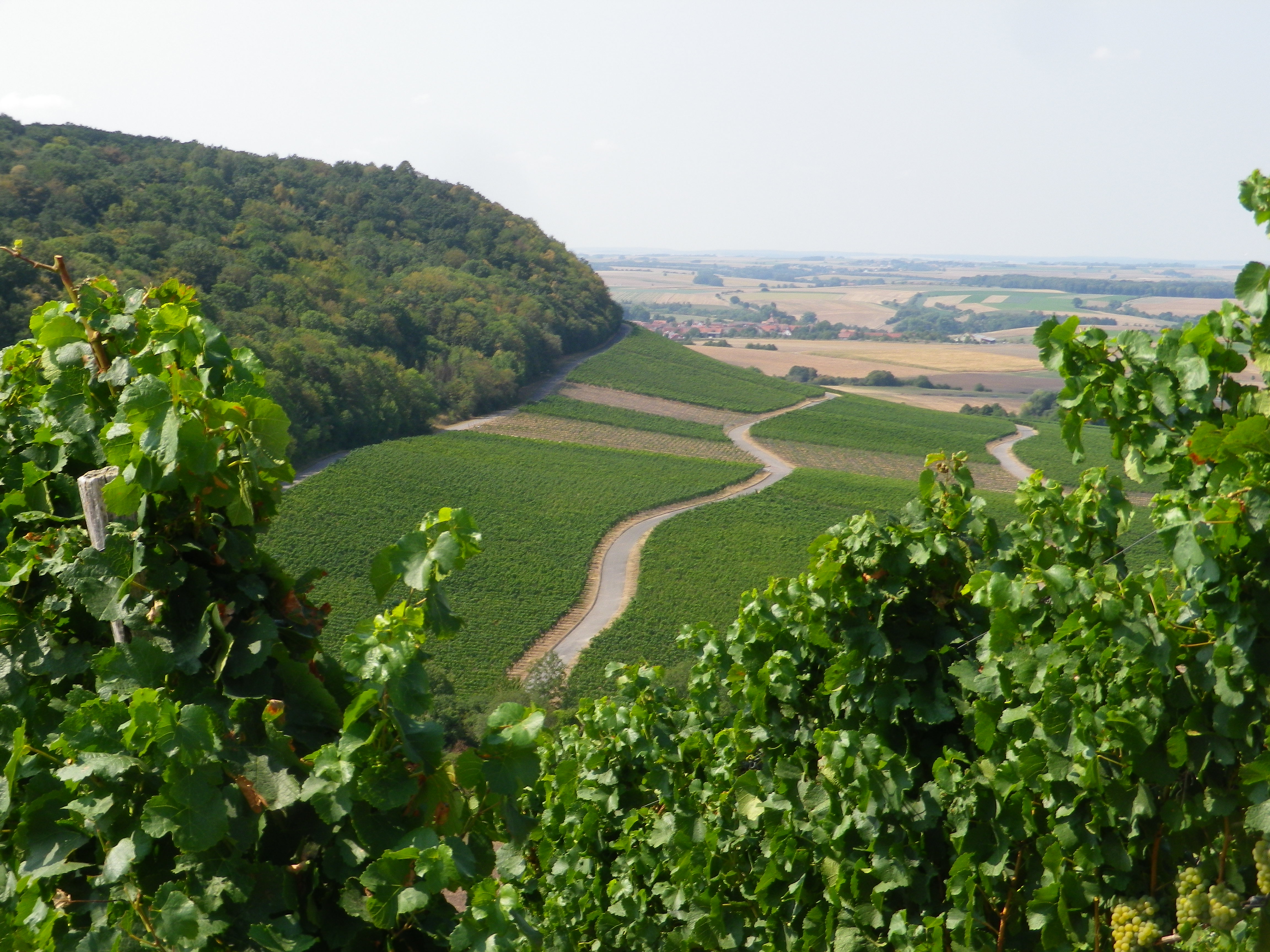
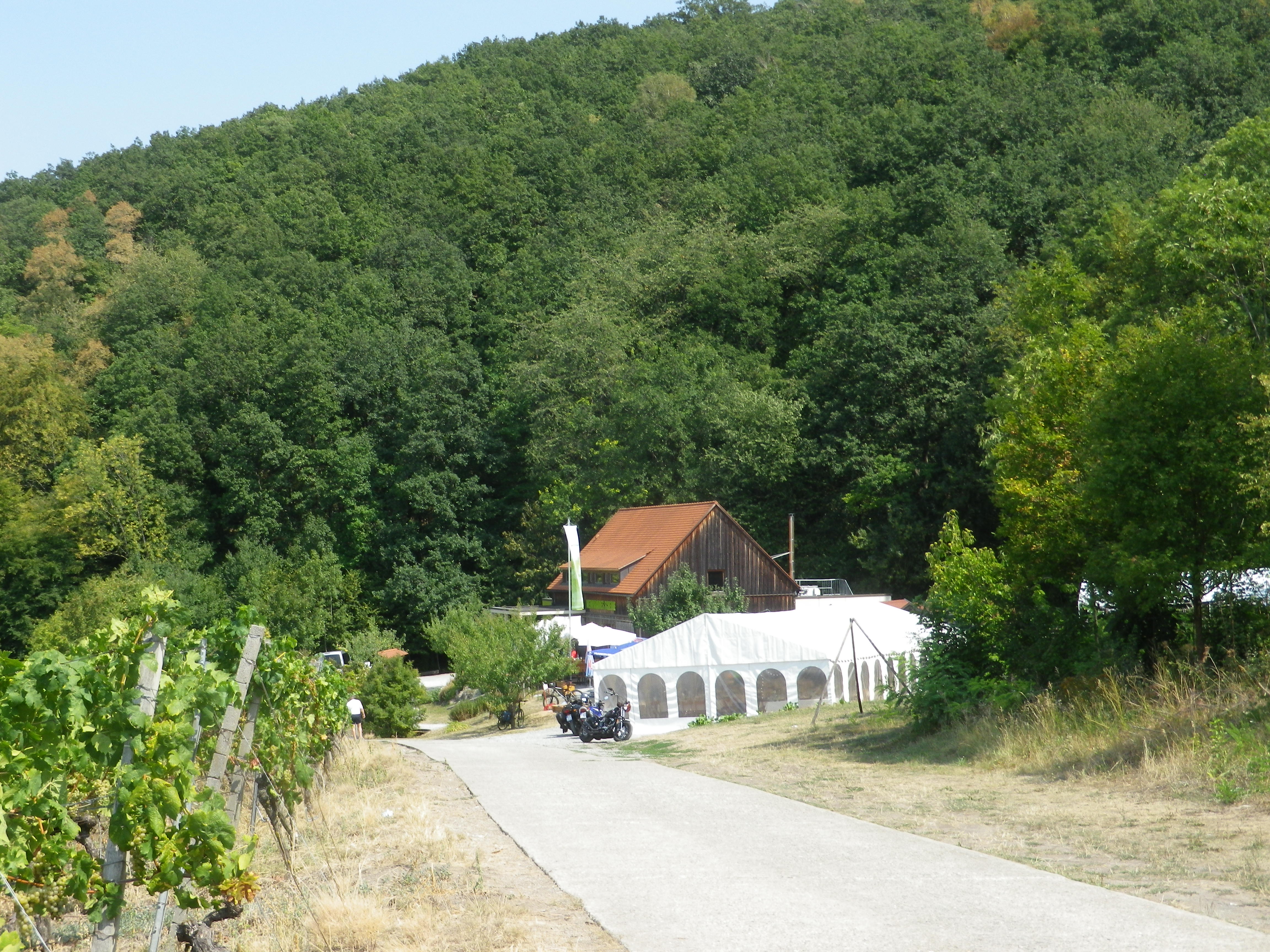
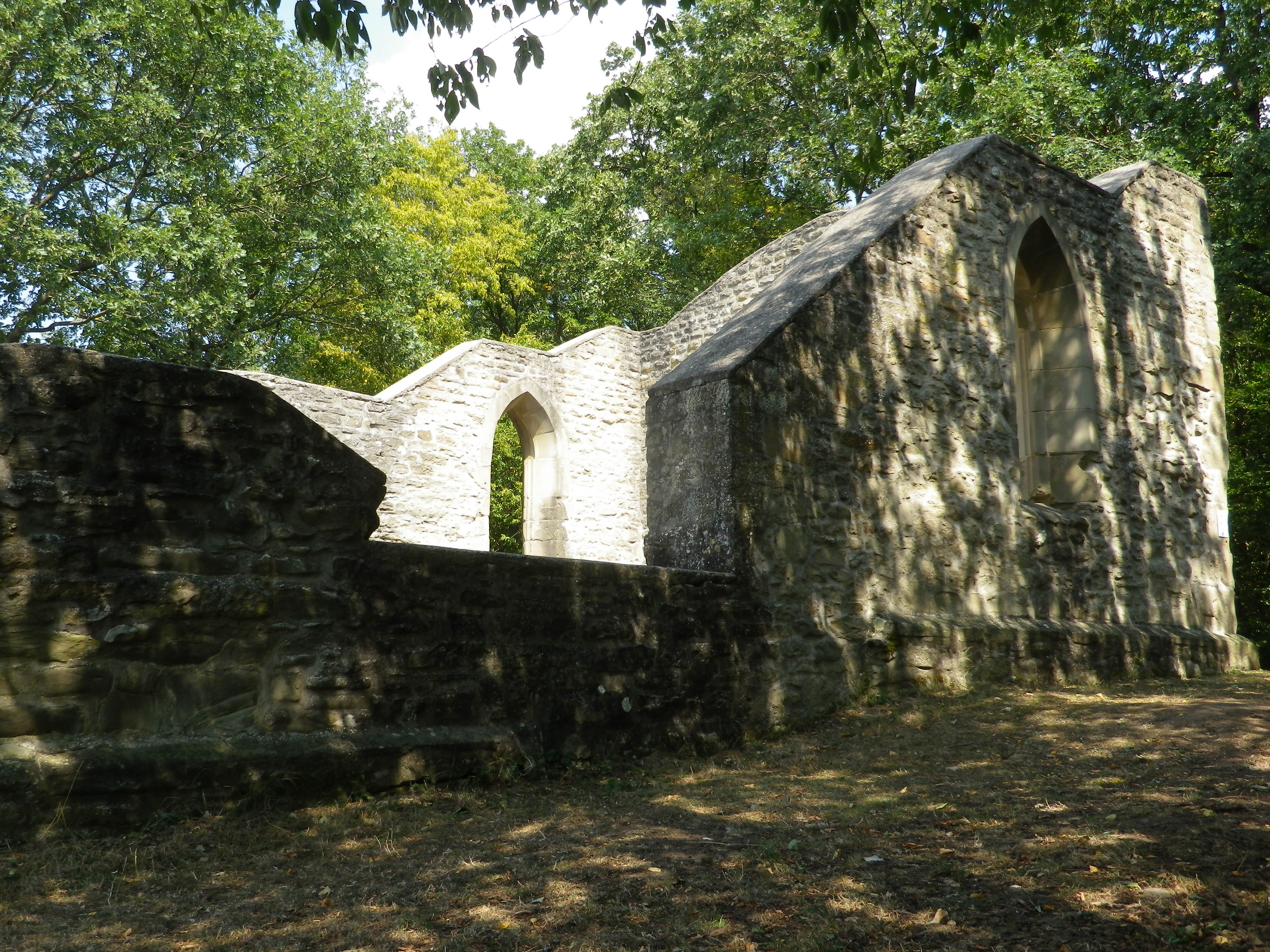
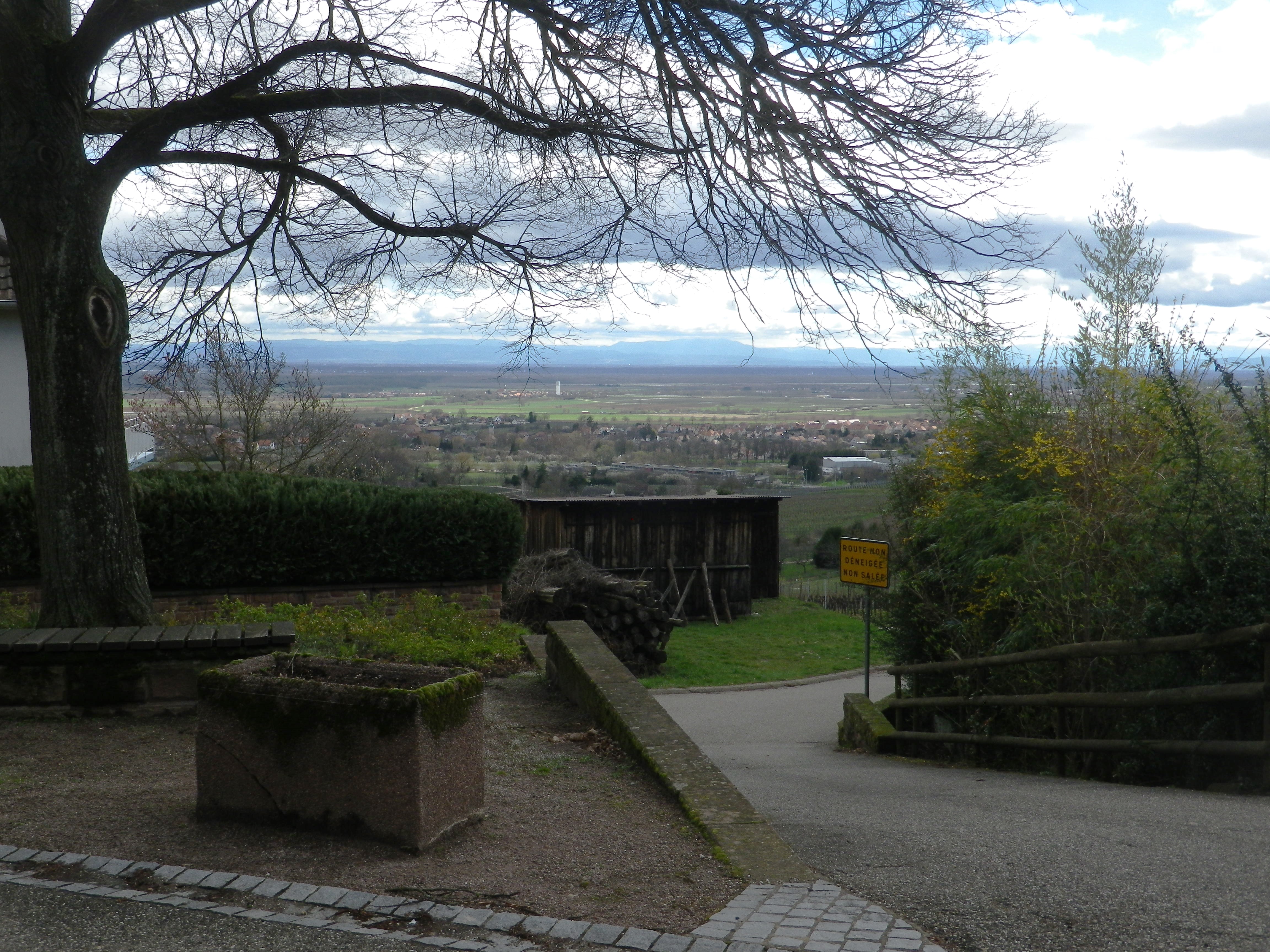
Approaching the area of Truttenhausen, signs to the Abbey appeared. Now in ruins, it is one of a couple of abbeys or chapels that developed on the slopes of Mount Saint Odile, a special place for a special saint from Alsace – one of their own who lived in this area about 1400 years ago. Her massive convent atop the mountain, with a statue of the saint high above it, casts a protective eye over much of northern Alsace. (Worth a visit for the 360 degree views.) While my trail was significantly lower down the slope, the views across the Rhine River valley over to Germany were still awesome nonetheless.

Truttenhausen Abbey

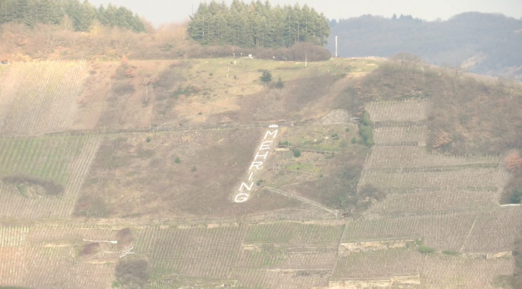
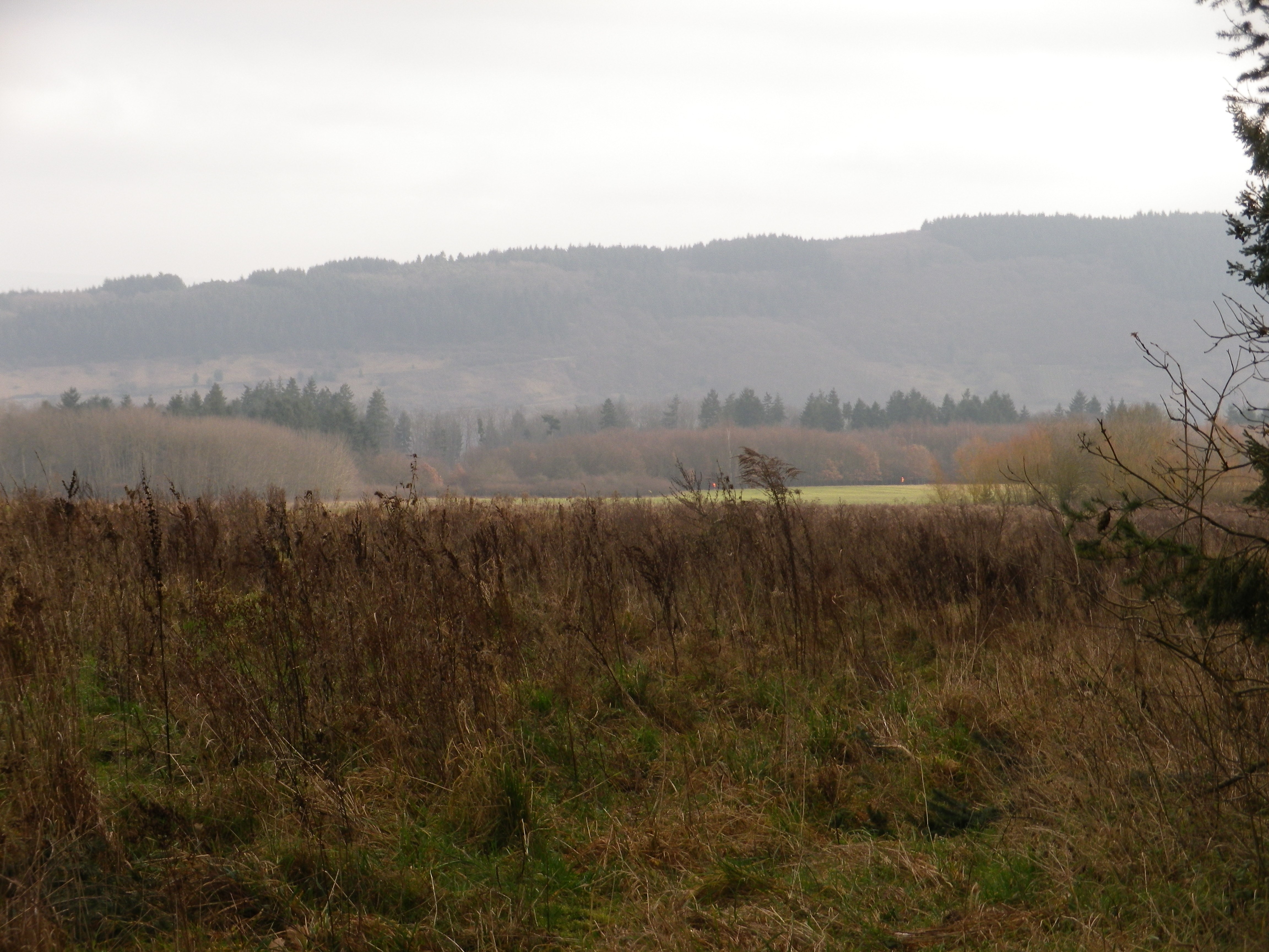
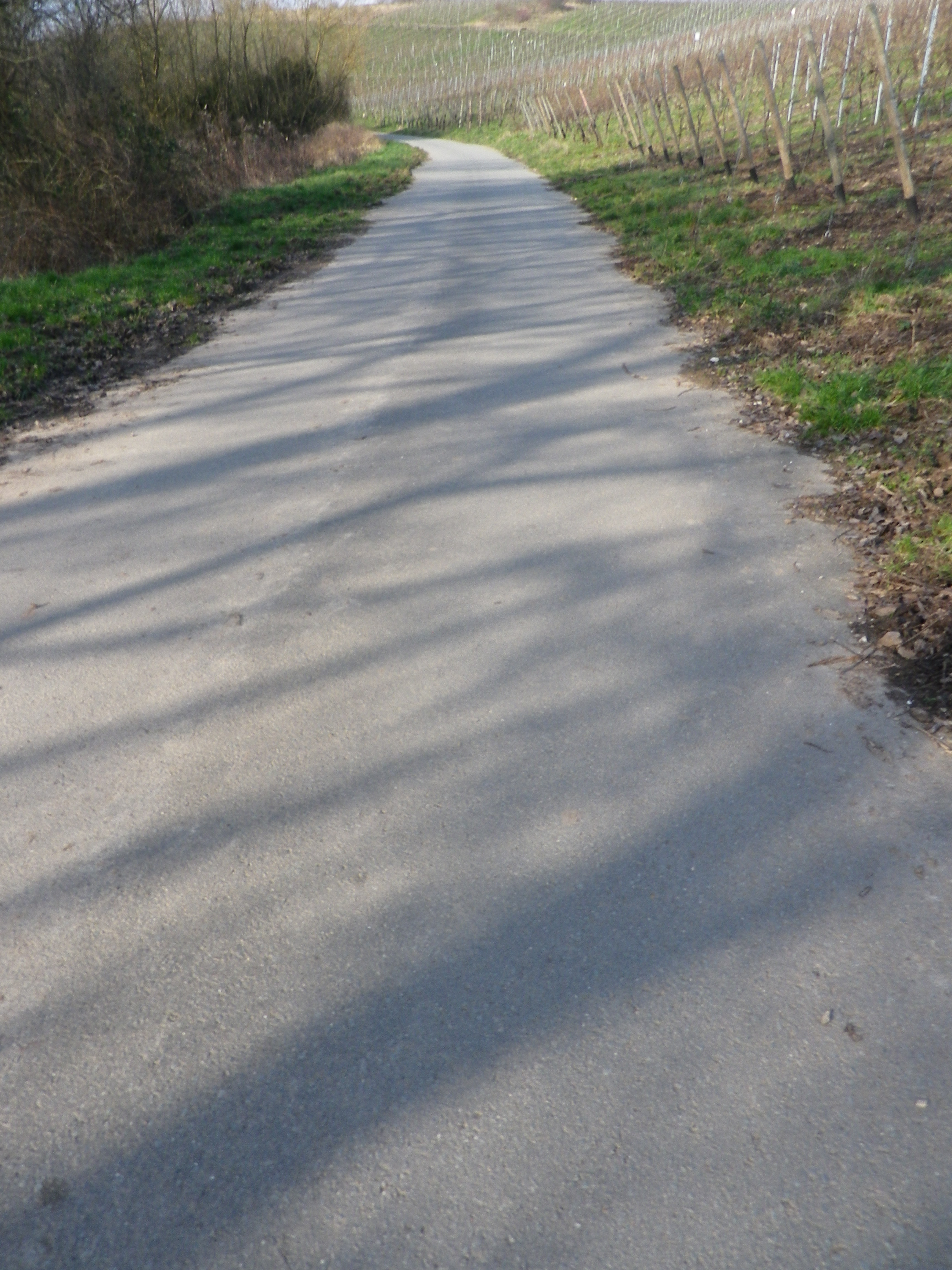
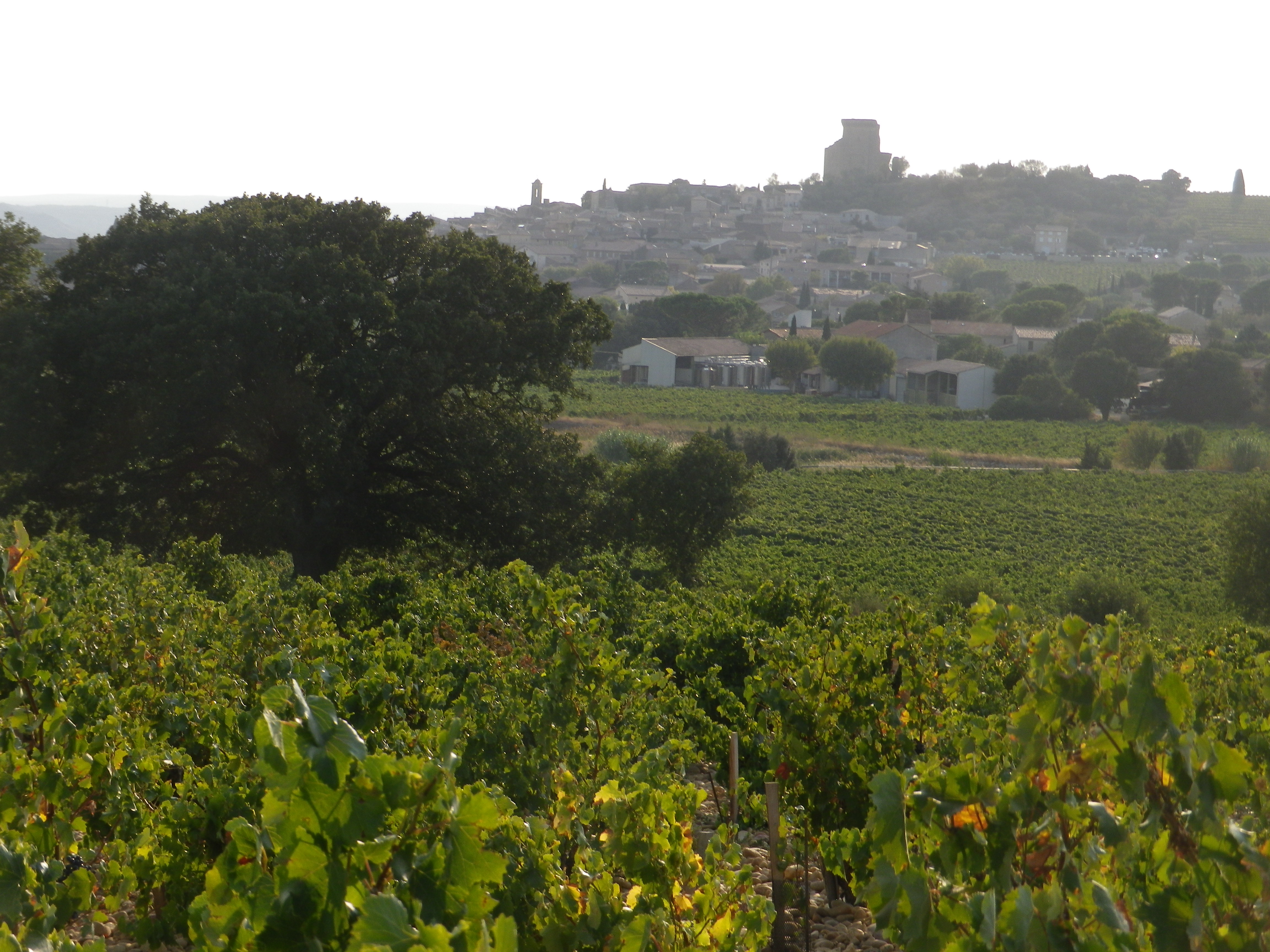
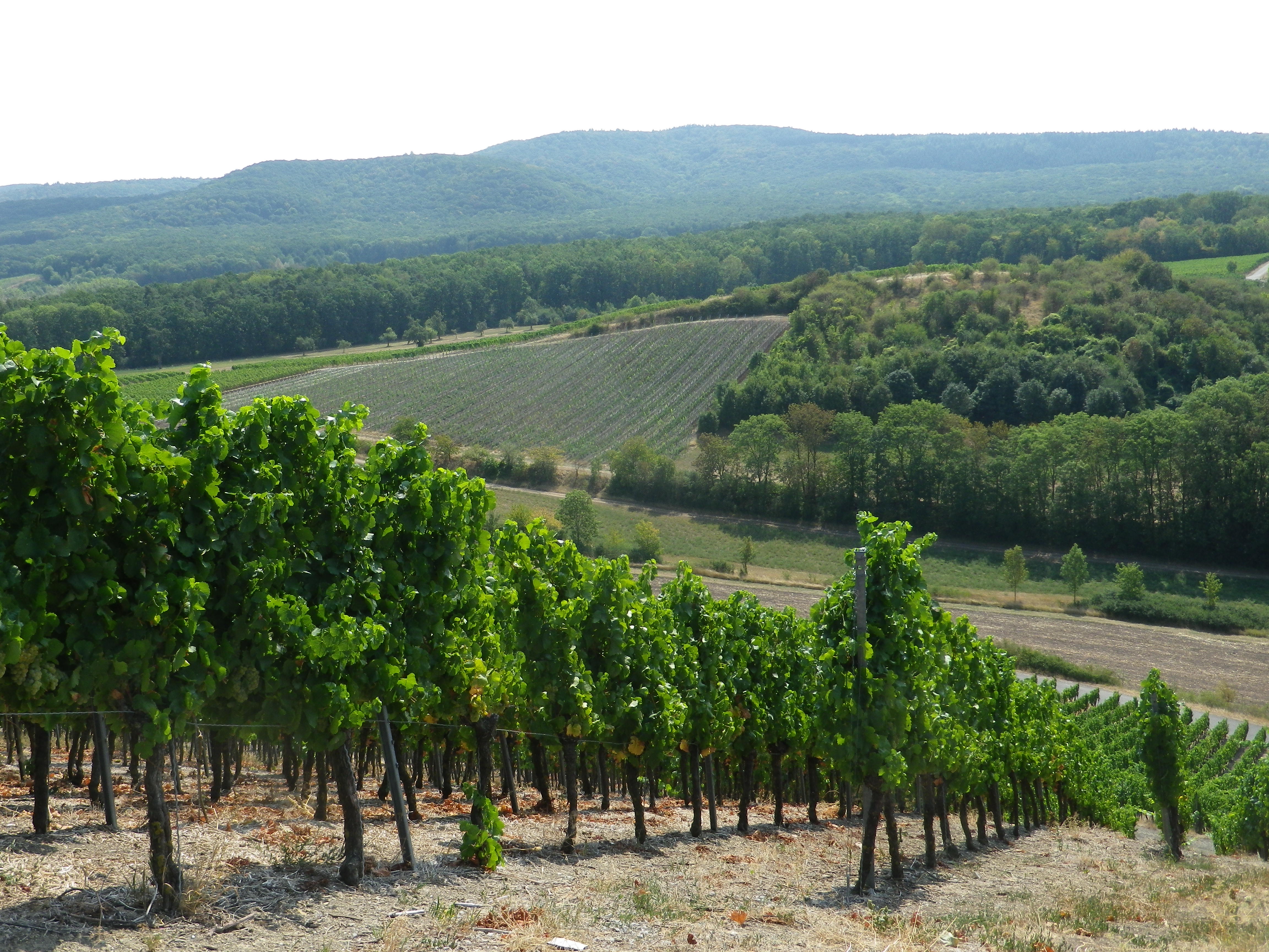
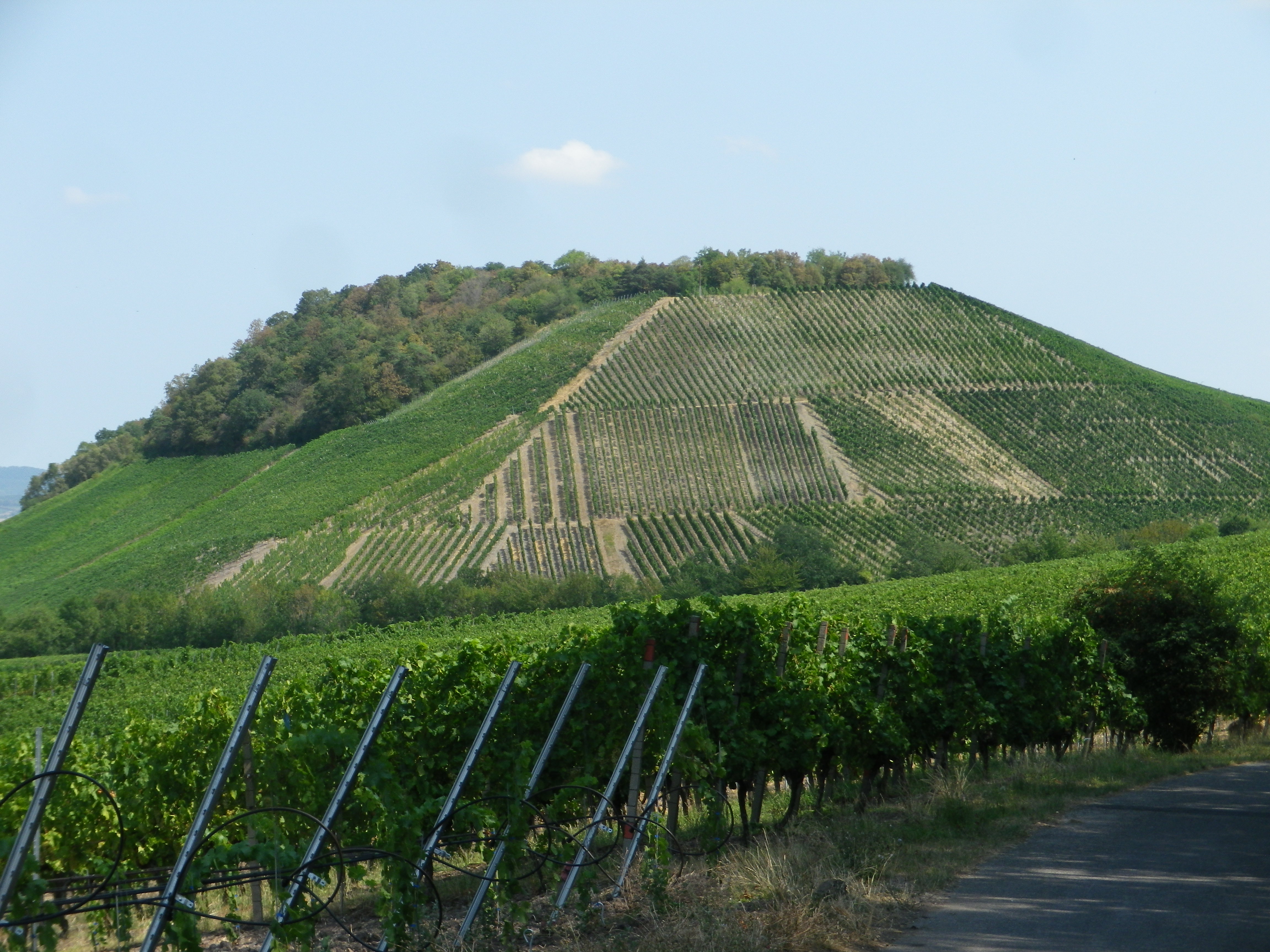
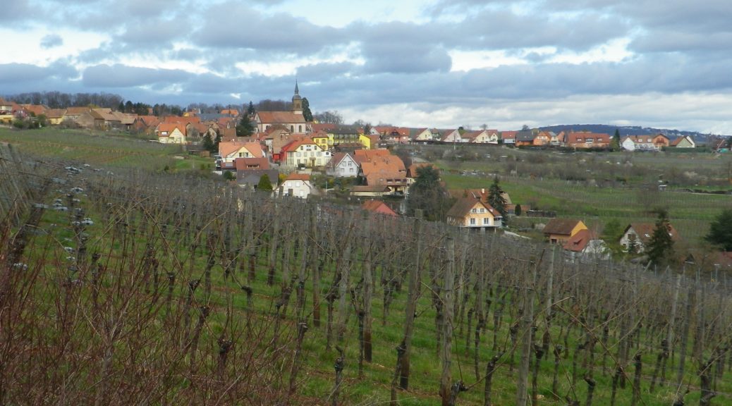
It wasn’t until after passing the famous landmark of the Linden of Heiligenstein, that the true extent of the town’s vineyards revealed itself. For beneath the tree-covered slopes of Mount Sainte Odile, vineyards extend downhill, toward the east and southeast for an impressive distance, until they adjoin the grain and vegetable fields of flatter lands to the east.

The Famous Linden

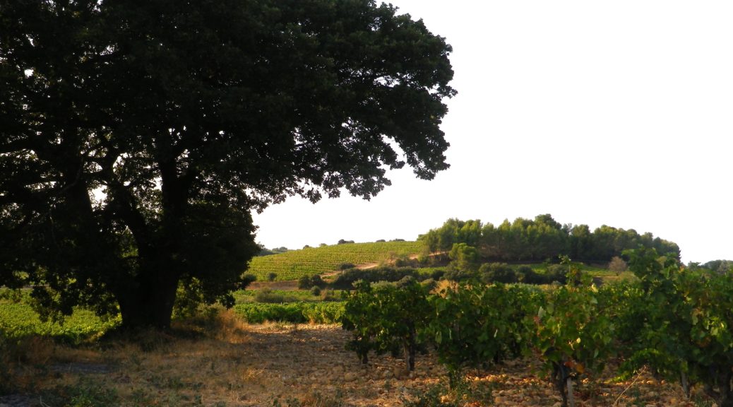
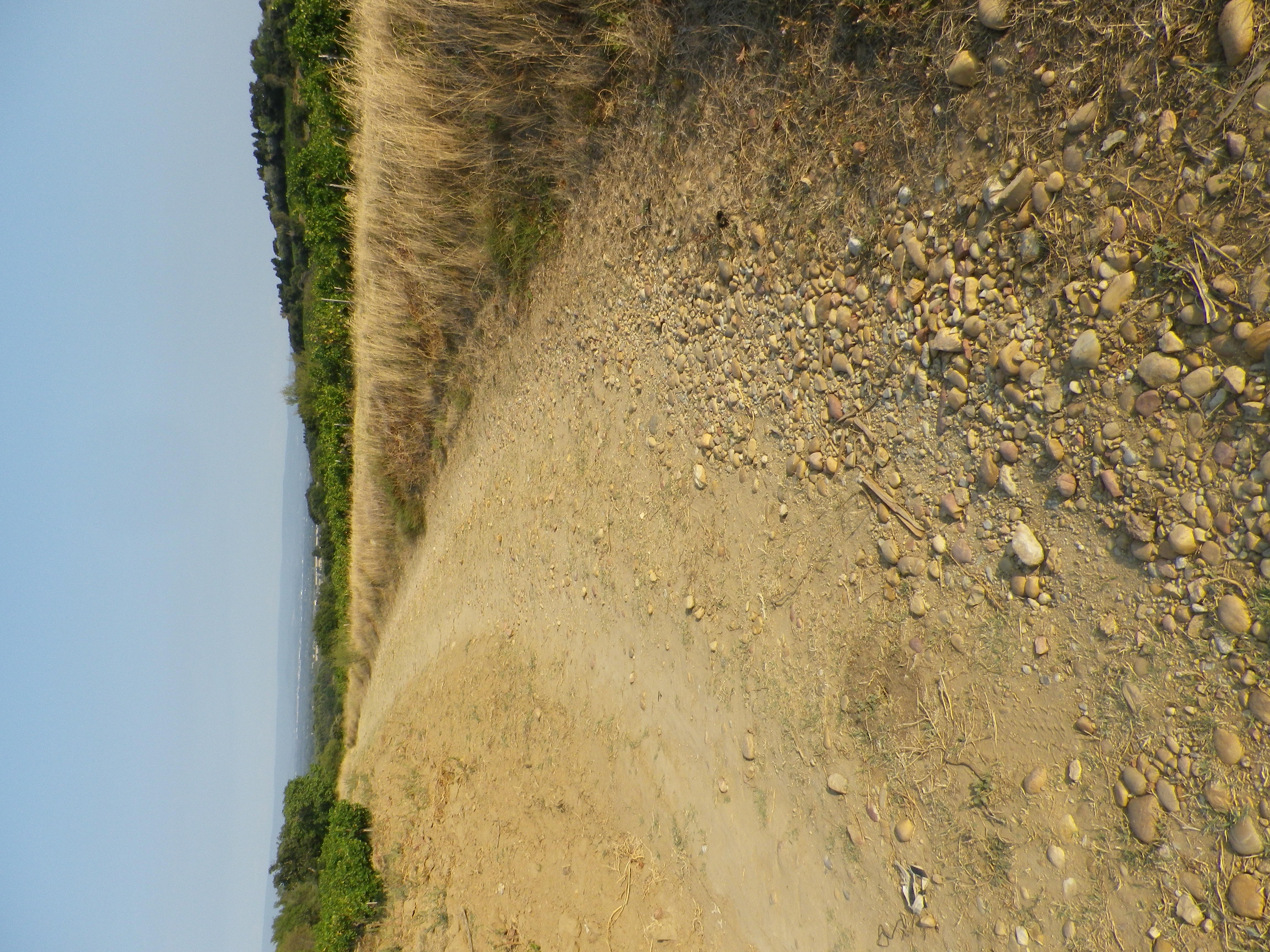
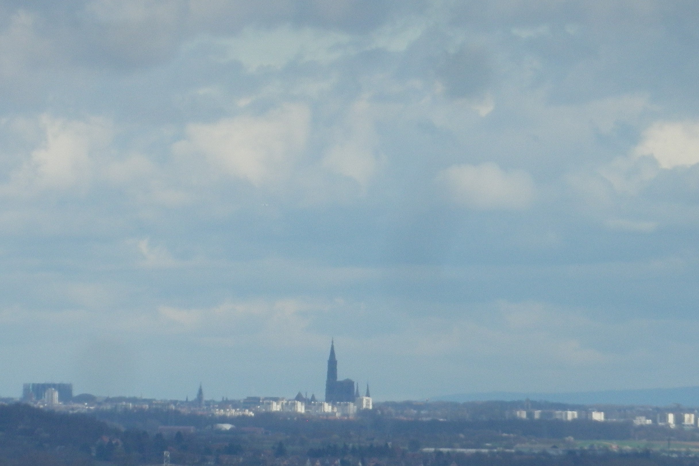
Following the circuit below the town placed me amidst acres of vines. Many plots have names, often they are (or were) enclosed. Many of the clos of Alsace are famous. One here was partially enclosed, but it never was famous, although it was obviously beloved by the local vintners at one point. Clos are special places where the grapes are particularly valued, hence protected by walls. Who knows – perhaps this is the plot where the grapes for the wine destined for the Bishop of Strasbourg, only 20 kilometers (about 12 miles) distant, grew. (Several towns, on both sides of the Rhine, owed an annual amount of wine to the Bishop of Strasbourg. Heiligenstein was just one of them.)

Strasbourg Cathedral Seen From Heiligenstein

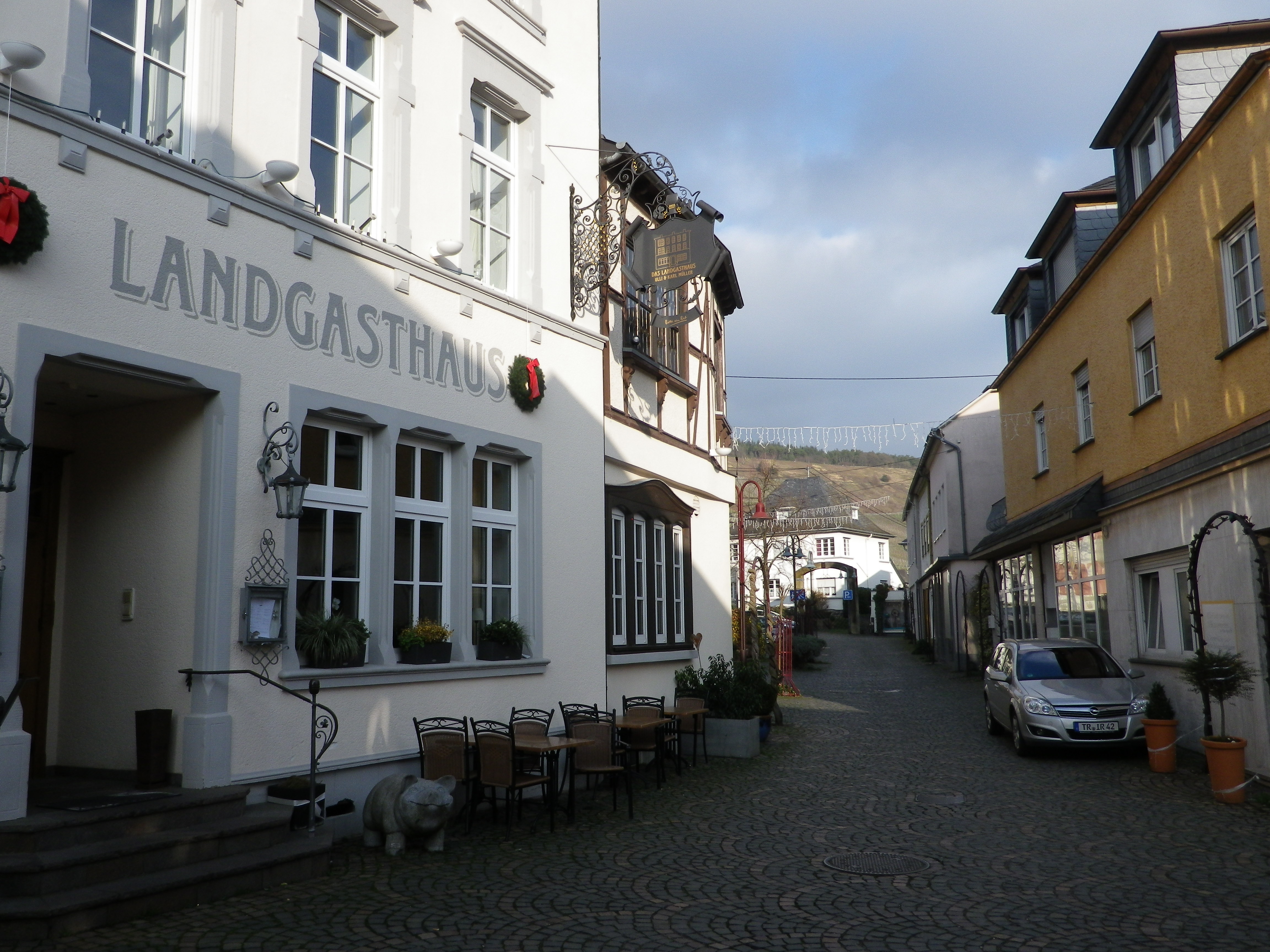
At the end of the circuit, I was less than half a kilometer from a few family-owned wineries. But it was necessary to jog to them to ensure I arrived before closing time. Unfortunately, there never seems to be enough time to enjoy wine! And unique wines like Klevener de Heiligenstein need both time and a special, objective perspective to savor them.


Klevener de Heiligenstein: Trail in a Nutshell


Trail Name: Klevener de Heiligenstein

Trail Type: A short distance circuit; well-maintained and much of it paved or hard-pack, marking on the trail varies.

Length:

Total – 7.5 kilometers/ 4.7 miles

Convenient to: Barr, Alsace, France

Marking:

Varied, and none specific to the circuit

Trail Description: A delightful short trail, easily done, which covered vineyards and town, and gave distant views of the Black Forest in Germany and Alsatian landscapes near and far. As it was in a sheltered, and lower position, this itinerary presented no problems in the winter with snow or ice.

Trailhead:

Heiligenstein: Sports field, R. Principale/D35

Parking:

Heiligenstein on the north end of the main road, R. Principale/D35, on the north edge of town, by the Sports Field

Public Transportation Options:

Rail: SNCF Trains from Strasbourg service nearby Gertwiller. From that station, the southern-most point of the trail is about 1 kilometer distant. (The station in Barr is a bit further, but also larger.)

Suggested Stages:

Not applicable

Trail Itinerary-Reference Points: (Counterclockwise)

Heiligenstein: R. Principale/D35, R. (du) Kritt, R. des Chateaux; Truttenhausen: Kiosk and Hering Monument, Chemin du Moenkalb, past the Tilleul du  Moenkalb (a famous linden tree); R. du Weinberg; vineyards, than an unimproved path downhill to cross R. Principale/D35; pass north of Domaine Bachert; through vineyards and fields, @100 yds on Saint Simonsbrunnen, go right onto small paved path, follow to T intersection, cross R Ehret Wantz; dogleg left, then first right to follow the winding road for about 400 meters/1250 feet, then rightat the Y intersection; take second left to return to sports field on D35 (see Lookout Point by the Sports Field),

Representative Trail Photos:

Sample Section of Unpaved Trail
Unpaved Trail Section Sample

Restrooms:

Heiligenstein: R. Principale, behind the Mairie

Attractions on or near Trail:

None wine-related, other than the wineries!

Tasting along the Trail:

A few wineries on or near the trail that specialize in this varietal, and then other as well nearby.

Alternative Options:

Biking: Klevener et Pain d’Epice, a 32 kilometer/ 20 mile cycling circuit in this region. See https://www.alsaceavelo.fr/403000071-bl214-klevener-et-pain-depices/

Car: Heiligenstein is one of dozens of villages on the Route des Vins D’Alsace, almost 180 kilometers of car-touring route focused on Alsatian wines and through Alsatian vineyards.

Additional Information:

Regional: https://www.visit.alsace/

Trail specific:

https://apps.tourisme-alsace.info/photos/cdcbarr/photos/213000384_d1.pdf

Comments:

A peaceful village, in one of the least travelled sections of the Route des Vins d’Alsace, cultivating a varietal that is unique in France.


Hesse’s Bergstrasse Heights


While not one of the more famous wine regions in Germany, the Hessische Bergstrasse region has a charm all its own. Only about 20 minutes from Heidelberg, a major tourist destination in its own right, with nearby vineyards falling within the Baden wine region, the Hessische Bergstrasse wine region is little known to visitors.

The wine town of Bensheim is but one of several small towns in this wine region, lined up like pearls in a necklace along the tourist road Bergstrasse. (So-called because it runs north to south along the western edge of the hills of the Odenwald forest.) Bensheim is also approximately the center of the Starkenburg wine district of this wine region. My trailhead for this hike was in the charming historic center of town. Filled with colorful half-timbered houses, and lots of architectural detail, it was a delightfully different way to begin hiking.

Fachwerk (Half-Timber), Iron Work and Stone Work

On reaching the outskirts of town, a church with a large cemetery appeared. A quick perusal of the area disclosed tidy, well-kept grave sites, each with distinctive stones. German cemeteries are interesting places to see at least once. Like Roman towns, gravesites were often found on the edge of town. (In fact, many German towns have a Waldfriedhof (a forest cemetery) in the town woods that form part of the township lands.) Now though, there are a couple of residential developments beyond it, but fortunately, the trail avoided those as led up the Hemsberg hill. Thus, the flat terrain of the town abruptly ends.

Cemetery

On the Hemsberg, the first of many vineyards began. While upon first entering the vineyard, the views over the Rhine Valley were impressive, once around the Hemsberg hill, the other hills stood out in dramatic relief. Looking east from the Rhine Valley, the hills often seem to be ridgelines. In reality, at least from the trail here, discrete peaks appear, giving the whole area a “hills and dales” character: Like a crumpled piece of tin foil upon which time and nature had intensified the effects.

Hills and Dales

Upon leaving the vineyards, much of the rest of the hike passed through rural scenes: Fallow fields of undulating green, small copses scattered about, strips of brown furrows where the first plowing of the season had begun. Molehills rose before mountains which were tree-covered. Rivulets appeared, and disappeared into streams, the noisy music of water tinkling everywhere. Old trees, some sporting crowns of mistletoe stood as solitary sentries in backwater meadows.

Mountains and Molehills

Rounding the trail through Gronau, the trail headed back toward Bensheim. I entered a large woodland, filled with setting sunlight casting long shadows. It was another quiet interlude through nature that ended on a path following the Lauter stream. As trees lined both sides of the stream, it wasn’t until almost  back into the heart of Bensheim, that I realized the nature-filled idyll had ended, and the charming town-scape had reappeared. Quiet and lively, idyllic and charming, up and down, the trail itinerary offered a lot to experience, to see, and to taste in this tiny section of the Hessische Bergstrasse.

Historic Center of Bensheim

Lichte Hoehe, Weinberge und Waelder: Trail in a Nutshell


Trail Name: Lichte Hoehe, Weinberge und Waelder (AKA: (Benheim’s) B4, and Gronau Weg)

Trail Type: Mid-distance circuit trail; partly paved, otherwise hard-packed earthen surfaces, well maintained, route well marked in most places.

Length:

Total: 13 km/8 miles

Marking: B4, written in white letters on a number of surfaces. See the photos below and above.

Sign for B4, (and Other Trails)

Trail Description: A real rambler’s ideal: such a variety of landscape, vegetation, and views can be difficult to find along other short trails. Mostly easy, with a couple of mildly challenging ascents, this trail, proceeding from urban to fields and forests, and back, seemed miles from Heidelberg and the busy Rhine River Valley cities, but was quite accessible from them.

Trailhead:

Bensheim: B47 (Nibelungenstr) x Bassmannweg

Parking Possibilities:

Bensheim: B47 (Nibelungenstr) x Bassmannweg

Public Transportation Options:

Rail: Frequent trains from most major cities north, south and west of this town. Check Deutsche Bahn for details.

Suggested Stages: Not applicable

Trail Itinerary-Reference Points: (clockwise)

Bensheim: Hauptstrasse x Gebergasse, Friedhofstr, past the cemetery and church, Hemsbergstr- Hemsbergweg, follow toward Hemsberg, vineyards, fields to Gronau; Gronau: Steinfoerstweg, Maerkerwaldstr; follow signs toward Schoenberger Kreuz; forest, Nibelungenstr (and path beside the Lauter creek); Bensheim: Bleichstr, Augartenstr, pass Marktplatz, Hauptstrasse.

Representative Trail Photos:

Sample Trail Section Through Woods


Roughest Trail Surface Sample

Restrooms:

Bensheim: Haus am Markt, Marktplatz//Buergerbuero: Hauptstr 39//Bahnhof, in front of it

Attractions on or near Trail:

See Tasting notes below, reference Heppenheim.

Tasting along the Trail:

Bensheim: A couple of wine-makers in the town of Bensheim, several pubs/wine bars offering local wines.

Heppenheim: Nearby town has the Bergstraesser Winzer, a wine cooperative, wine shop and wine tasting lounge, where you will find lots of information about wines and wine-making in this area.

Alternative Options:

Biking: Winzer und Weinstuben Tour, an easy 19-kilometer long bicycle route passing vineyards, wine bars and wineries. See the Nutshell here.

Car: Ferienstrasse Bergstrasse, a 28-kilometer car touring route, includes Bensheim and many more towns, many of them wine producing towns, from Darmstadt to Heidelberg.

Additional Information:

Regional: https://www.bensheim.de/tourismus/touristinformation.html

Trail specific: https://www.bensheim.de/fileadmin/media/bensheim/06-Tourismus/Wanderungen-um-Bensheim.pdf  (starting p. 32); AKA: Gronau-Weg

Comments:

The trail name says it all: An easy and very relaxing experience, in a little-known wine region.

The Old Moselle


Along the Roemische Weinstrasse, that section of the Mosel where Romanitas arguably reached its maximum expression in Germany, there are many reminders of the era that once was, and what it became. For these two reasons alone, the hike along some of the best vineyards found in this stretch of the Moselle was a rewarding experience.

Trier, once the capital of the Roman Empire, is itself worth a hike through the city. A magnificent city gate (Porta Nigra), the basilica of Aula Palatine, an amphitheater, baths, a bridge, impressively show the former grandeur of this city. The nearby village of Mehring also boasts villa ruins dating to that era. In short, back in the day, this city and the surrounding countryside was the place to be. While neither place is as grandiose as it once was, that remains in this area is dedicated wine-making, and impressive views.

Trier: Porta Nigra

The circuit hike began in the center of Mehring, on the left bank of the Moselle, opposite the former villa. The circuit began with a climb up through the vineyards to the grill hut near the top. A great place to grill and enjoy the view, before continuing on up the hill heading beyond the Blattenberg vineyard toward the Goldkupp one. This is one of the most highly esteemed vineyards in the area, and with its steep slope, and southern exposure, it is favorably sited for vines! Undoubtedly, vines grew here during the Roman era as well.

Near the Top

Soon I came to the 10,000 liter wine barrel. Converted into a picnic area, it offers nice views of Goldkupp. Being just above 500 meters below the Ortsberg peak, it also had great views of the river and the hills beyond. It was just possible to make out the Roman villa ruins on the other side of the river. Unfortunately, I had no wine to sip as I admired the views seated at the picnic table.

The 10,000 Liter Wine Cask

The trail then curved behind the slightly lower Hundsbuckel peak. One nice thing about this trail is that some of it passes through woods, along shady paths that in summer would be a welcome break. Between vines and woods were fields, marginal areas not suited for grapes. Vineyards appeared again on the lower reaches of the slope, just outside of the village. At that point, looking up at the vineyards served to illustrate just how much this village is devoted to wine, how the vines dominate it, as undoubtedly it has for centuries.

On the Plateau, Where No Vines Grow

Passing back through the village center on the left bank, one is struck by how medieval it is. You can tell from the street layout. In the mid-eighth century, Charlemagne’s father donated the area to the Prum Abbey, and it then became their most important wine-making place, indicating that Frankish warlords, after taking control from the Roman administration, at least let things continue as they had under the previous administration. (Charlemagne himself, from his old Roman-era villa at Ingelheim, directed that grapes be planted opposite his villa, on the sunny slope, where the “winter snows first melted.”)

Mehring Village Center

From the village center, taking a small detour to the river is advised.  Or even more adventurous, cross the bridge to visit the villa ruins, always open, and worth a visit. From there, I admired the vineyards from afar, and contemplated the good life the owners must have had with their wines in their comfortable villa on this lovely stretch of the upper Moselle.   Eons of time and generations of experience helped this lovely district evolve into what it now is, and nowadays it is certainly a place to be seen and savored!

Villa as It Was
Villa as It Is


Mehring R5: Trail in a Nutshell


Trail Name: Roemische Weinstrasse Mehring R5

Trail Type: Short distance circuit; well-maintained and almost exclusively paved, marking on the trail mostly good

Length:

Total – 9.8 kilometers/ 6.08 miles

Convenient to: Trier, Germany

Marking:

White and yellow metal square with lettering R5 in black, stylized hikers; and/or directional arrows with trail number on posts

Roemische Weinstrasse Mehring R5


Signs for Trails Along the Trail

Trail Description: An easy circuit, suitable for most families, that traverses vineyards, pastures, and copses, and passing through Mehring’s village center. While there are plentiful rest spots, snack/bar establishments, and hiking huts to picnic in along the trail, you will want to spend your time admiring the bird’s eye views of the Moselle, and the surrounding hills.

Trailhead:

Mehring: Deierbachstrasse x Schulstr

Parking:

Mehring: a small lot (about 20 cars) at Lintnerstrasse x Deierbachstrasse

Mehring: a small lot downhill from the one above on Deierbachstrasse

Public Transportation Options:

Rail: No train service, per se

Bus: The Moselbahn bus has frequent daytime service from Trier to Mehring, stopping at several villages along the way.

Suggested Stages:

Not applicable

Trail Itinerary-Reference Points: (Counterclockwise)

Mehring: from parking lot at follow Deierbachstr uphill, right onto Schulstr, and stay left on Schulstr uphill to Roemerstr-Goldkuppstr-Bornstr, crossing Am Rebenhang into vineyards; follow the long uphill lane to Huxlay Hutte; follow signs for the Kapelle; then along vineyards to the 10,000 Liter Fass (big wine barrel); follow the tree line, enter the woods, continue to follow the trail leading towards (but not necessarily to): Zitronenkraemerkreuz, Aulkreuz, and Hundsbuckel; heading downhill, the woods end and vineyards begin again; following the Muehlenbach creek past a small pond; past the Dreitaeler Weinkommission, right onto Steinkaul downhill, and right back onto Deierbachstr.

Representative Trail Photos:

Representative Unpaved Trail Surface


Typical Paved Section of Trail

Restrooms:

Mehring (exterior door attached to the town hall/tourist/ Wein u. Heimat Museum building open Apr-Oct (as of Nov 2023))

Attractions on or near Trail:

The Wein and Heimat Museum from April to October; otherwise just lots of scenery and good wine

Tasting along the Trail:

About 20 wine-makers have cellars in Mehring, and at various times, they are open for tastings. In addition to these, and restaurants in the village, there are three wine bars.

Alternative Options:

Hiking: Hiking enthusiasts will find a diverse (circuit, long-distance, family, challenging or easy…) selection  of trails, to include wine themed hiking trails, all along the Mosel. Especially popular, albeit not exclusively wine-themed, is the Moselsteig.

Biking: The 248 kilometer Mosel-Radweg (Mosel Bike Trail) begins in Trier passes through Mehring, thence all the way to Koblenz. This beloved bike itinerary, mostly on paved surfaces, and much of it on dedicated bike trail, while not exclusively wine-themed, is a must-do (at-least-once-in-a-lifetime) experience for young and old wine enthusiasts. See the Nutshell here.

Additional Information:

Regional: https://www.roemische-weinstrasse.de/roemische_weinstrasse/de/Urlaubsthemen/Wandern/%C3%96rtliche%20Rundwanderwege/

Trail specific: https://www.bergfex.com/sommer/rheinland-pfalz/touren/wanderung/162982,rundwanderweg-mehring–hundsbuckel–huxlay-plateau–mehring-r5/

Comments:

An easily achievable hiking opportunity (and with lots of other options) for almost all visitors to the Moselle valley, to experience a beautiful setting in a world-class wine region, without the crowds.


A New Castle Makes New Wine From Old


In the early 14th century, a Pope decided to make a new residence (his Chateauneuf, or New Castle) in the countryside a few miles north of Avignon. The intent was to use this as a summer residence, away from the noise and heat of Avignon. Vines have been in this area, around what is now the village of Chateauneuf du Pape, for at least a couple of millennia. The wine it produced, though, was not particularly good. But with papal money and interest, the wine improved greatly over time. Nowadays, Chateauneuf du Pape wine is one of the most iconic wines of the world.

So, with great enthusiasm, I headed to the village to hike an easy trail through its vineyards, try its wines, and see its “New Castle”.

Castle at Chateauneuf du Pape

To be honest – the vineyards make the trip worthwhile here. They surround the village completely. This trail passed through the vineyards to the east of the village. My first surprise was seeing the galets. I had heard of them, of course. These stones both help keep weeds down, and help retain the sun’s heat (from day into night). But seeing them on the ground, and appreciating their size and texture, was another thing altogether. In one place, they were several deep on the ground, looking like so many harvested Russet potatoes, still lying in the field. (Caution: It makes for slow(er) walking.) Later, I came to a cut in a bank, and the layers were visible in the soil for at least a couple of feet!

Galets

Another thing to notice along this trail, is the number of different vine pruning/training techniques. Usually you will see one, maybe two, types of pruning. But here, they even had the Gobelet (vines shaped like a goblet), in addition to the Guyot and the Cordon de Royat. This and other interesting tidbits of information about the terroir and the viticultural practices here may be found on education boards all along the trail. (While the trail’s boards are only in French, a brochure from the tourism office (https://en.chateauneuf.com/le-sentier-viticole) provides explanations for each board in French and English.)

Old Vines at Chateauneuf du Pape

Finally, I noticed that this was an undulating land – more than I had expected or realized at first. With each rise and fall of a slope, around each turn of a vineyard or hedge row, I had a different long distance view. Sometimes Chateauneuf du Pape would disappear from view completely. Other times, I found myself facing the white slopes of Mount Ventoux. Cresting another slope, my old haunts the Alpilles, by Vacqueyras and Gigondas, magically appeared. Yet, I never saw the Rhone River, although the village lies not too far from it.

Les Alpilles

After I passed through the section of vineyards known as the Crau (which means stone in Provencal – per the board), I followed the trail through a wooded section. It provides the only shade for hikers on this itinerary, and is welcome, as it immediately precedes the final section of the trail, a walk along the road back to the starting point on the outskirts of the village

Trail through Woods

To return to the car, I had to walk back through the village. For such a famous wine, the village was fairly small, (and the tourism infrastructure even smaller). Its castle is a mere ruin, albeit a highly photographed one. Nonetheless, it was exciting to visit the place that may be called the birthplace of the Appellation d’Origine Controlee system, and home to former Popes and famous vineyards. Then, of course, there is the wine –  in so many wineries, so many shops – to explore!


Escapade au Coeur du Vignoble: Trail in a Nutshell


Trail Name: Escapade au Coeur du Vignoble de Chateauneuf du Pape

Trail Type: an easy short distance circuit; well-maintained and almost about half paved, and half rough, trail surface; marking on the trail is ok, but take a map.

Length:

Total – 7.5 kilometers/4.6 miles

Convenient to:

Avignon or Orange, France

Marking:

Small maroon colored square with the Chateauneuf coat of arms (occasionally), and (15) education boards

Chateauneuf Trail Sign


Sample of wine education board Along the Trail

Trail Description:

A pleasant, but mostly unshaded, itinerary through parts of the famous vineyard area of Chateauneuf du Pape, providing great views, tips on local viticultural practices, and fun for the whole family (providing you wear sturdy footwear!).

Trailhead:

Chateauneuf du Pape: Avenue Louis Pasteur

Parking:

In the center of the village, not much, but there is more

Public Transportation Options:

Rail: None, but the closest stations are in Orange, Courthezon or Sorgues, all on the Orange to Avignon line. Check https://www.sncf.com/fr

Bus: Buses on the Route Orange-Sorgues, on Line 922

Suggested Stages:

Not applicable

Trail Itinerary-Reference Points:

Chateauneuf du Pape: Avenue Louis Pasteur-Chemin de la Font du Pape, to the first educative panel, through vineyards to Chemin de la Coste Froide, Chemin de la Montalivet (a narrow track), Chemin de la Nerthe, (turning onto a narrow track called Chemin Draille de la Crau, circling the vineyards of Charbonnieres Est, stair-stepping back west to Chemin de Charbonnieres, onto Route de Courthezon, then right onto a track to rejoin the original trail passing along a small wood, vineyards, then through woods back onto Chemin de la Montalivet;  left onto Route de Courthezon/D92, following it back into the village

Representative Trail Photos:

Representative Trail Surface


Trail Surface Sample

Restrooms:

None observed

Attractions on or near Trail:

Chateauneuf du Pape, Avenue Saint-Pierre de Luxembourg: Musee du Vin Brotte, offers audio-guided tours, and a wine tasting.

Tasting along the Trail:

Both in the village and along the trail there are plenty of wineries to choose from!

Alternative Options:

Hiking: Chateauneuf du Pape and its Environments is a 10.8 km circuit route that has more elevation, and covers a wider variety of scenery, from village to river, as well as through vineyards. See  https://www.visorando.com/randonnee-chateauneuf-du-pape-et-son-environnement/

Biking: From the Antique Stones of Orange, to the Galets (River Stones) of Chateauneuf du Pape, a challenging 35 kilometer circuit, beginning in Orange, famous for its Roman theater and other ruins, to Chateauneuf du Pape, some of which follows the well-known Via Rhona bike trail (from Lyon). See https://www.provence-cycling.co.uk/equipment/orange/cycle-route-from-the-stone-to-the-pebbly-terroir/provence-713016-2.html

Additional Information:

Regional: https://www.france-voyage.com/cities-towns/chateauneuf-du-pape-33685/tourist-office-chateauneuf-pape-7166.htm ; and more specifically for this area https://www.poptourisme.fr/

Trail specific: https://www.outdooractive.com/en/route/hiking-route/france/sentier-viticole-chateauneuf-du-pape/266646253/

Comments:

This route leads past 15 numbered education boards about vineyards and winemaking, in order.

The trail is designed with short-cuts (shorter versions), or an extension (longer version) (at or near sign 10, ) to the Charbonnieres Est and the Crau vineyard areas, which adds about 2 km, (1.25 miles) to make it about 7.5 kilometers in total.


Communing with Vines


This hike can be defined as slow hiking. According to the Cambridge Dictionary, slow hiking is the act of going on a long walk through countryside, without the pressure of going fast, or climbing hills, or making a distance. It is meant to be an activity accessible to all fitness levels, that predisposes participants for actually enjoying nature. Thus, it sets up a framework for communing with nature.

The Steigerwald area I hiked is ideal for slow tourism, defined as far from mass tourism sites, with a focus on local culture, history and traditions. It is characterized by low (and slow) mobility, emphasizing sustainability. The Steigerwald wine district is surely Franconia’s least known district. Iphofen (see here), and Bad Windsheim (see here), are the two biggest towns – delightful, but small. Agricultural pursuits, mostly devoted to vines and grains, cover much of the rest of the area. Thus, I could slow hike in a slow tourism area, and take time to reflect on vines and communities supporting them.

Small Section of the Steigerwald Nature Park

Mainly though, this area is known for the Steigerwald Nature Park, which covers about 431 square miles, in the Franconian/Bavarian border area west of Nuremberg. The hills are heavily forested and popular with some hikers for their unspoiled nature. My hike though, on the southwest corner of the park, lay right at the junction of the trees and vines. Not only could I enjoy both vineyards and forest, I could do so in peace and quiet.

And then There Were None: Clear Vine/Tree Delineation

I began just below the Weinparadiesscheune, a popular wine-bar with local wine (and food) on offer. Early morning patrons, on that warm, sunny late August day, began to fill up the outdoor seats. This part of the hike remained on asphalt as it went up the western side of the hill, along the upper reaches of vines facing the villages of Bullenheim, Seinsheim and Huettenheim.

Weinparadiesscheune – Set Between Forest and Vineyard

Vintners from these small villages work the vines on the short, but steep, slopes, producing Silvaner, Mueller-Thurgau and Bacchus wine, named after the Greco-Roman god of wine. The Bacchus varietal is relatively new, but it has taken hold in this region (one of the few places it may be found). Like the god, Bacchus wine is popular, and inspires (when taken in moderation, of course!)

The Tannenberg

After a steep climb off the asphalt and into the woods, I was onto the Tannenberg (Pine Mountain), nowadays mostly devoid of trees and covered in vines instead. On the north side of this hill overlooking Huettenheim, there is a Jewish cemetery. In a quiet spot, well suited for contemplation, reminiscent of two similar cemeteries in remote areas of Baden I’d seen, recalling that once vibrant Jewish communities coexisted within even remote villages.

Jewish Cemetery Above Huettenheim

After that, the trail ran south along a shallow valley separating it from the main Steigerwald park. Once leaving the Tannenberg hill, the trail entered woodlands again. As the modest incline increased so did the heat, but fortunately now, the meandering trail was shaded by majestic trees.

Vineyards Along the Steigerwald

It was in this same forest, according to legend, that Empress Kunigunde, lost her way. She made an oath to God that she would found a church there, if she could find her way out of the woods. Sure enough, right off the trail lay the ruins of Kunigunde’s church. (The only problematic issue being the fact that the ruins date to about 400 years after her death in 1033.) Nonetheless, they provide a nice opportunity to relax, soak up the atmosphere of an earlier era, and enjoy the birdsong.

Ruins of Kunigunde’s Church

After my contemplations on a Greco-Roman god, a Catholic church, and a former Jewish community, I realized that like the Greco-Roman communities of old, and the Jewish and Catholic communities, all  shared an appreciation of wine that transcended their differences. Such is often the way with wine aficionados as well. Completing the circuit, I made my way back to the Weinparadiesscheune, to enjoy a glass or two of the local wine, made right here, in full communion with nature and fellow wine-lovers, as has been done for centuries.