Trail Name: Traumrunde Huettenheim-Seinsheim
Trail Type:
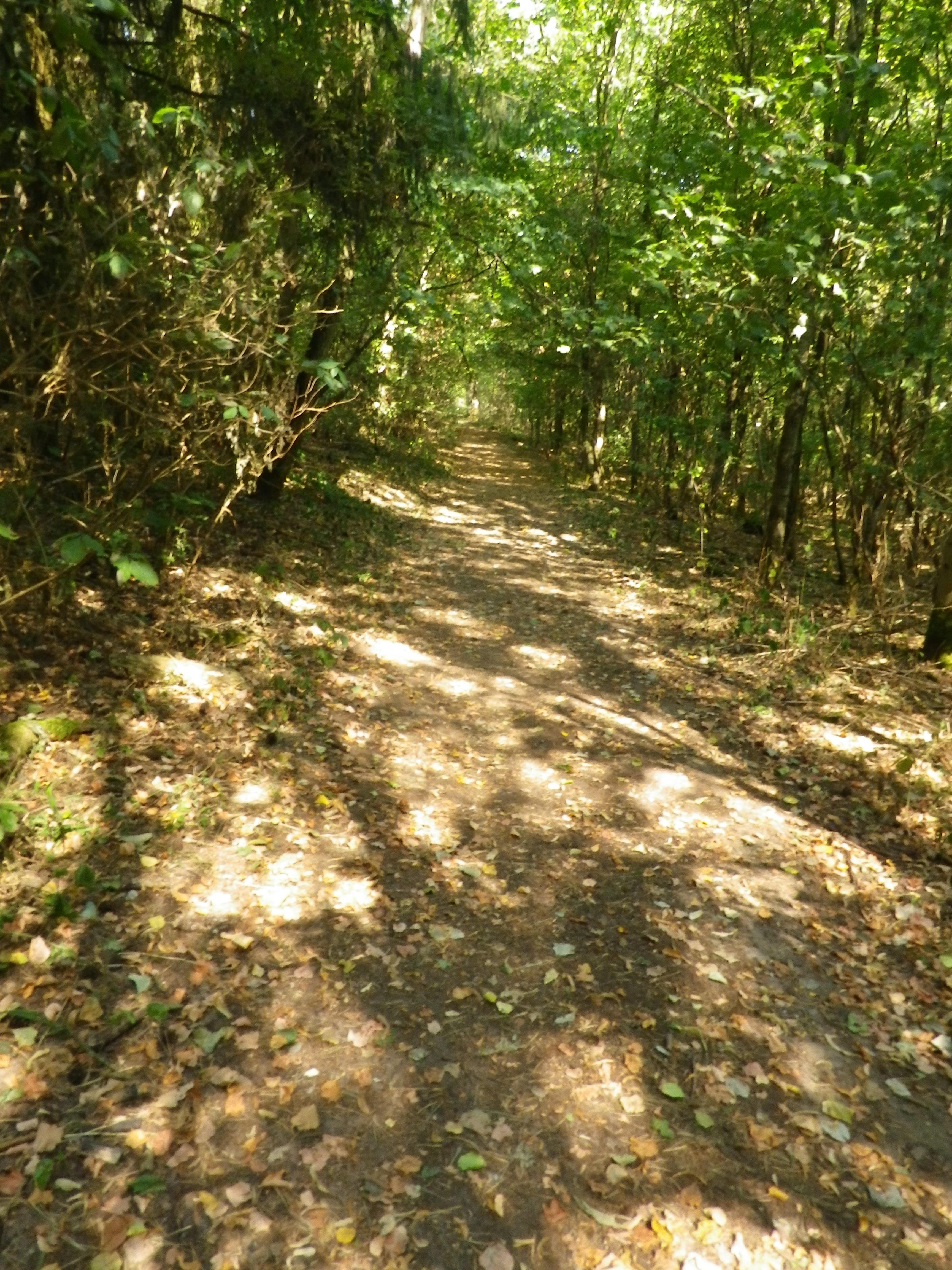
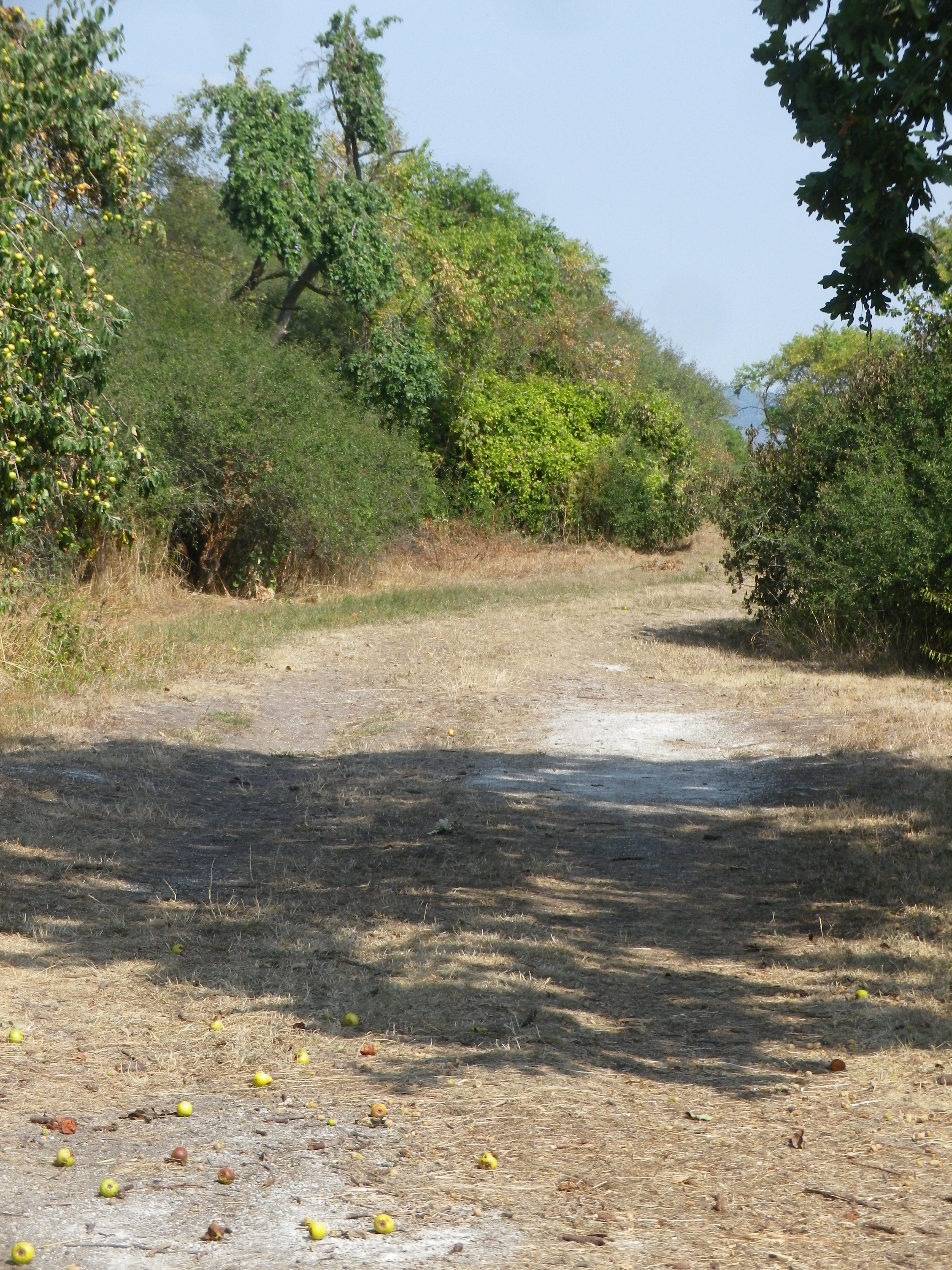
Short-distance circuit; well-maintained and almost exclusively paved or hard-packed, marking on the trail fairly good
Length:
Total – 8.7 kilometers/ 5.4 miles
Convenient to:
Ippesheim, Franconia, Germany
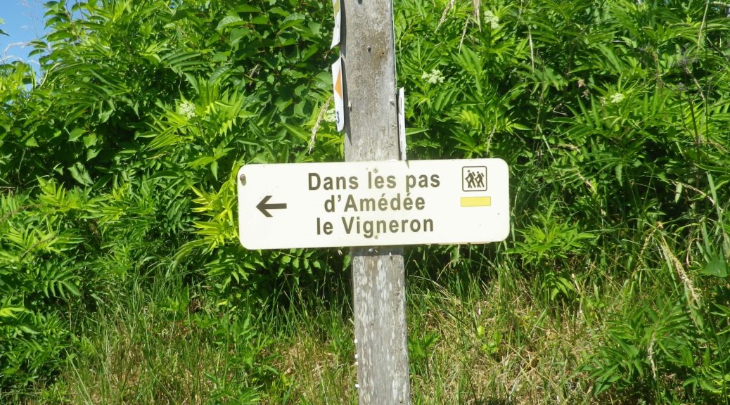
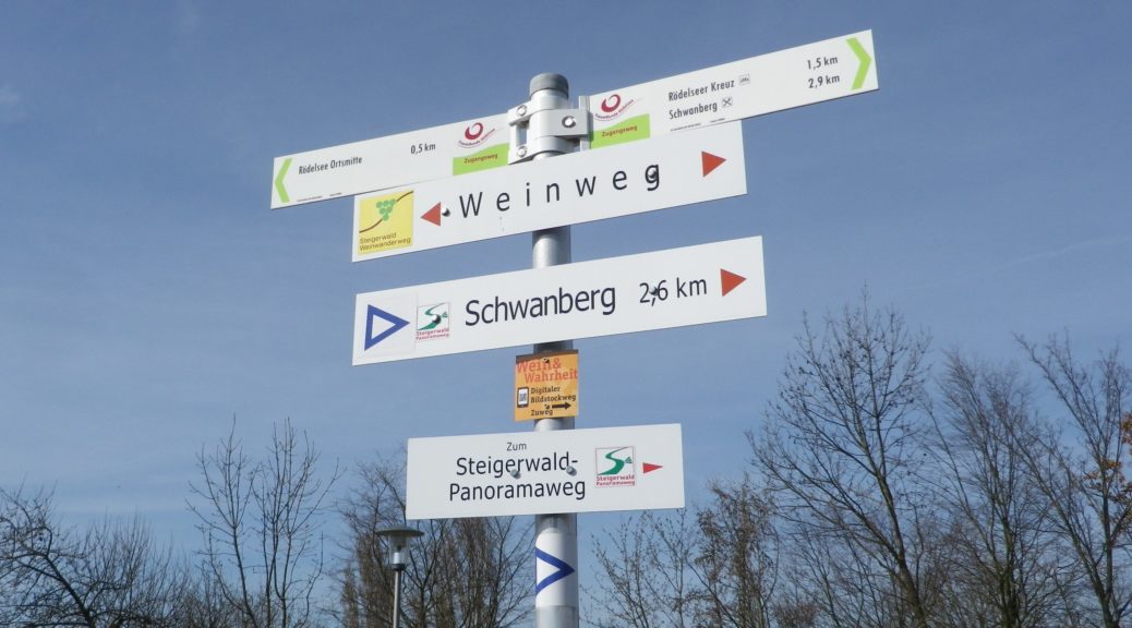
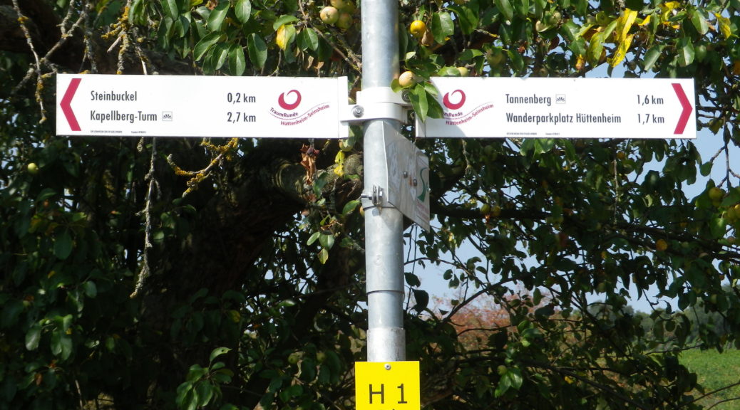
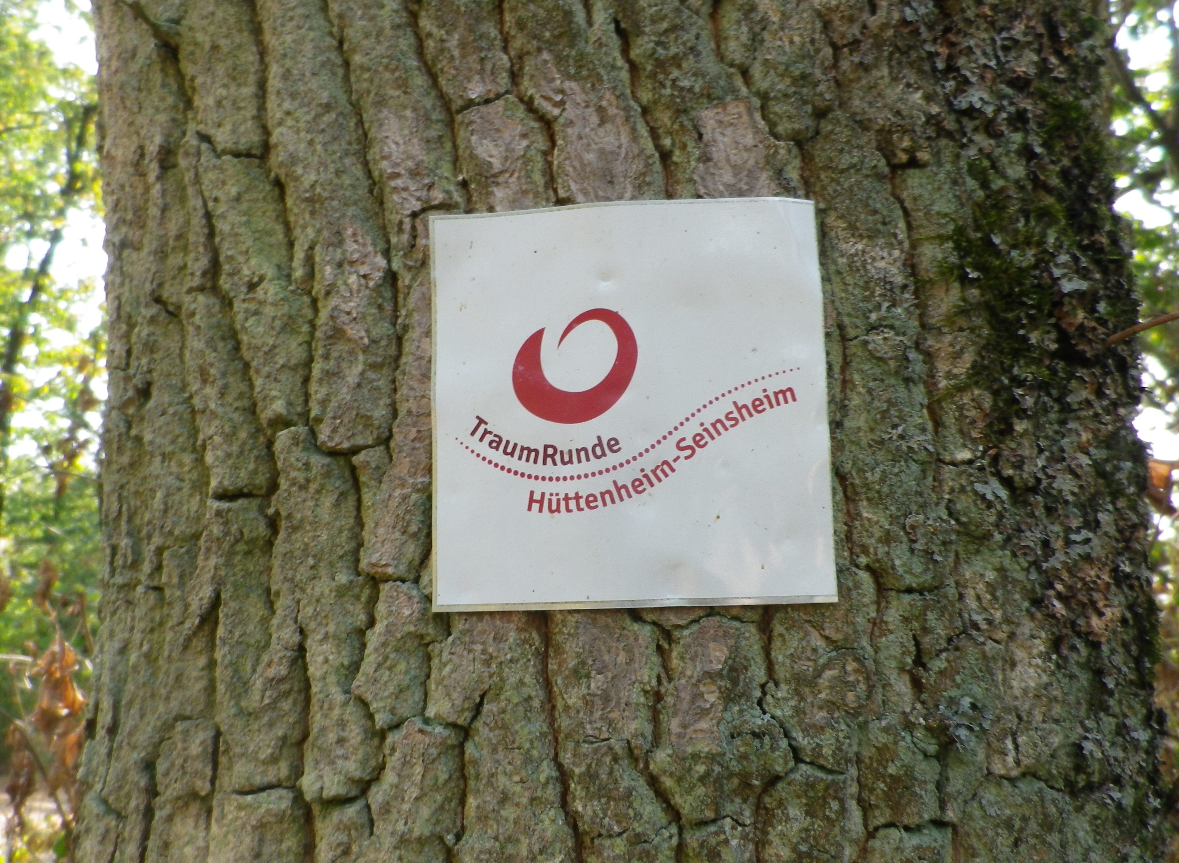
Marking:
Square with white background, and red lettering reading “Traumrunde Huettenheim-Seinsheim”
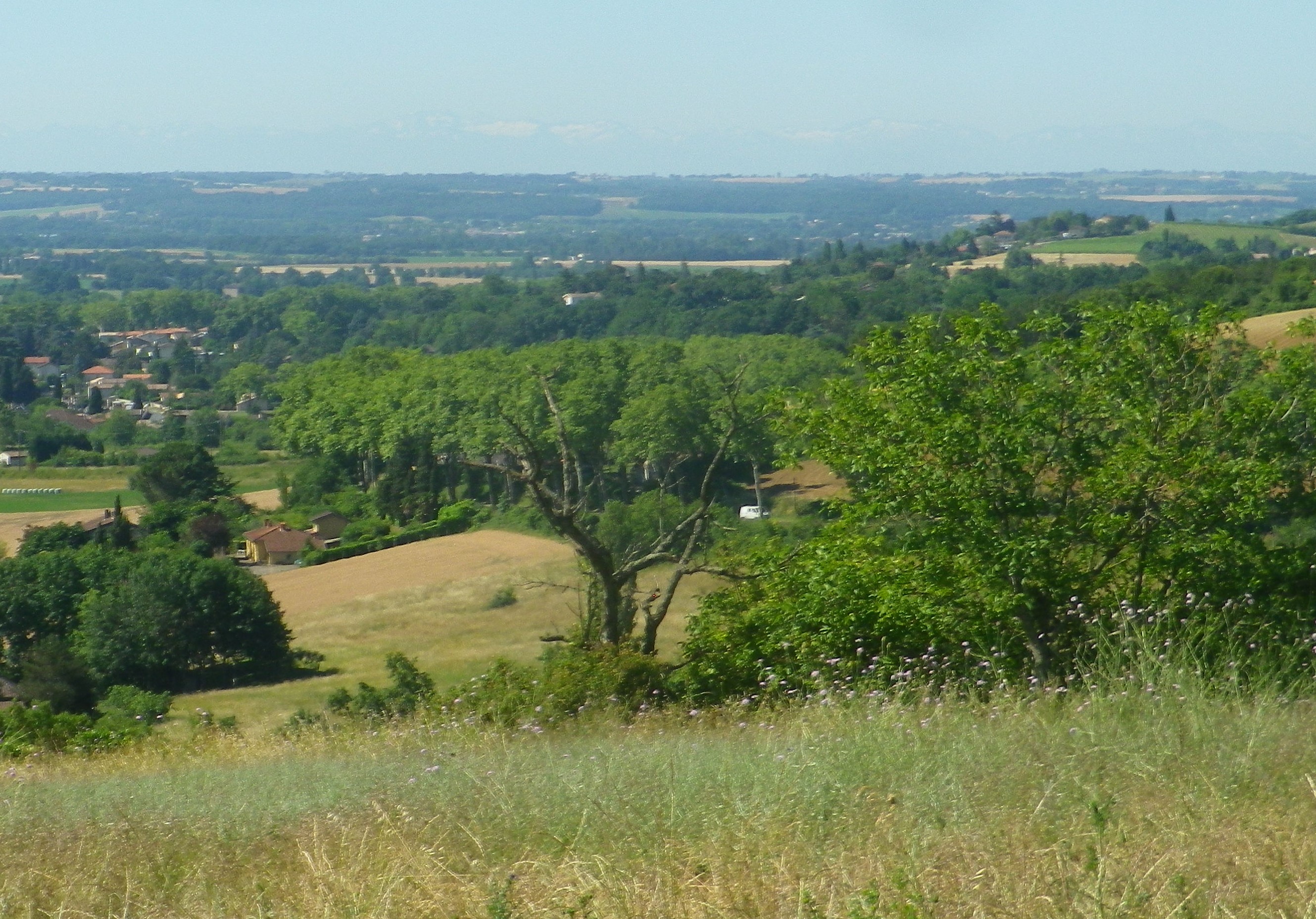
Trail Description:
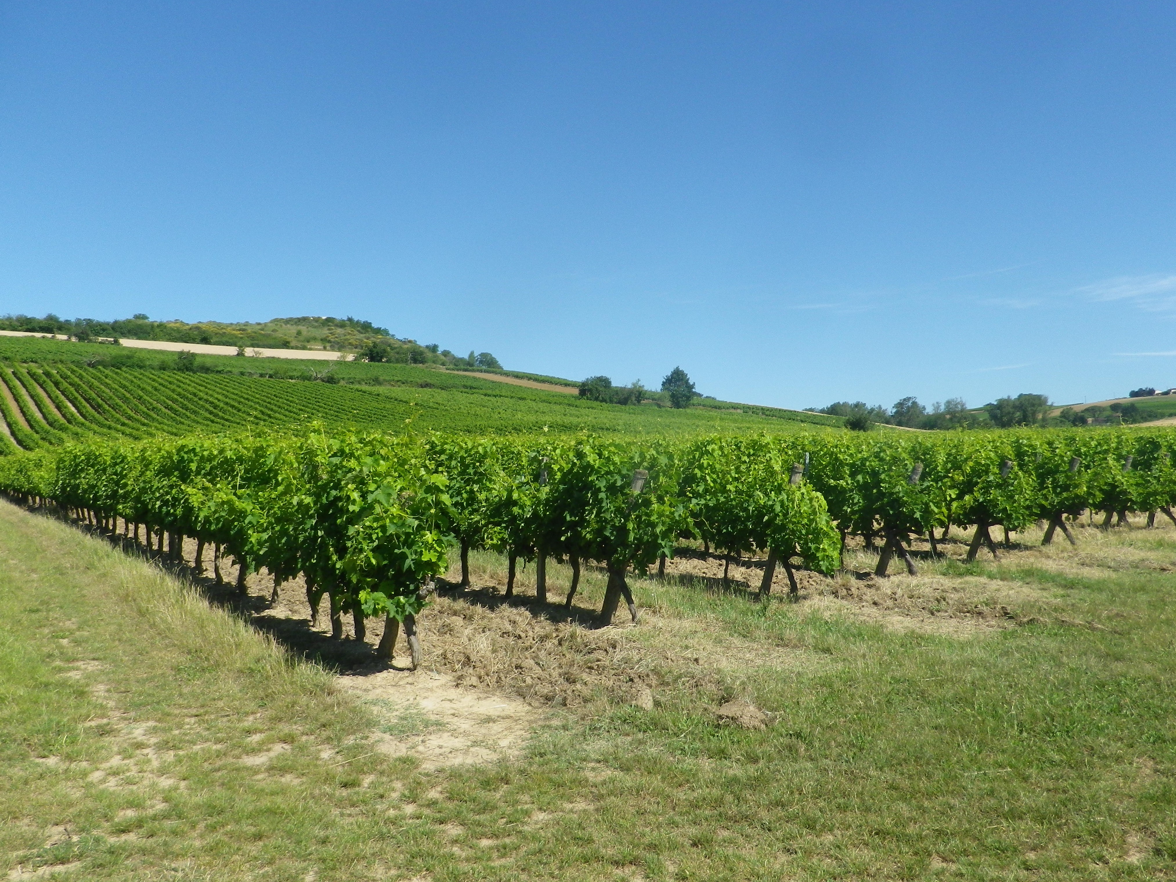
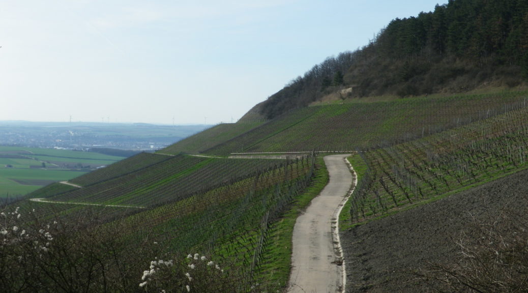
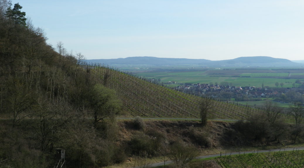
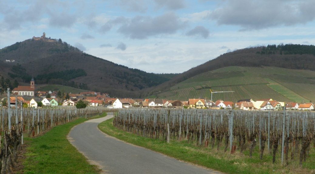
A meandering circuit, with moderate ascents and descents, as it circles the irregular upper contours of a vine-planted hill on the southwestern edge of the large Steigerwald Nature Park
Trailhead:
Can be anywhere on a circuit, but from a parking perspective, the parking area just below the Weinparadies Scheune is a convenient place to start.
Parking:
Bullenheim: Follow the signs to the Weinparadiesscheune, and before arriving, you will see a small area for hikers’ parking
Public Transportation Options:
Bus: Available to surrounding villages (Bullenheim, Seinsheim, Huettenheim), but not practical
Suggested Stages: (Not applicable)
Trail Itinerary-Reference Points: (Clockwise)
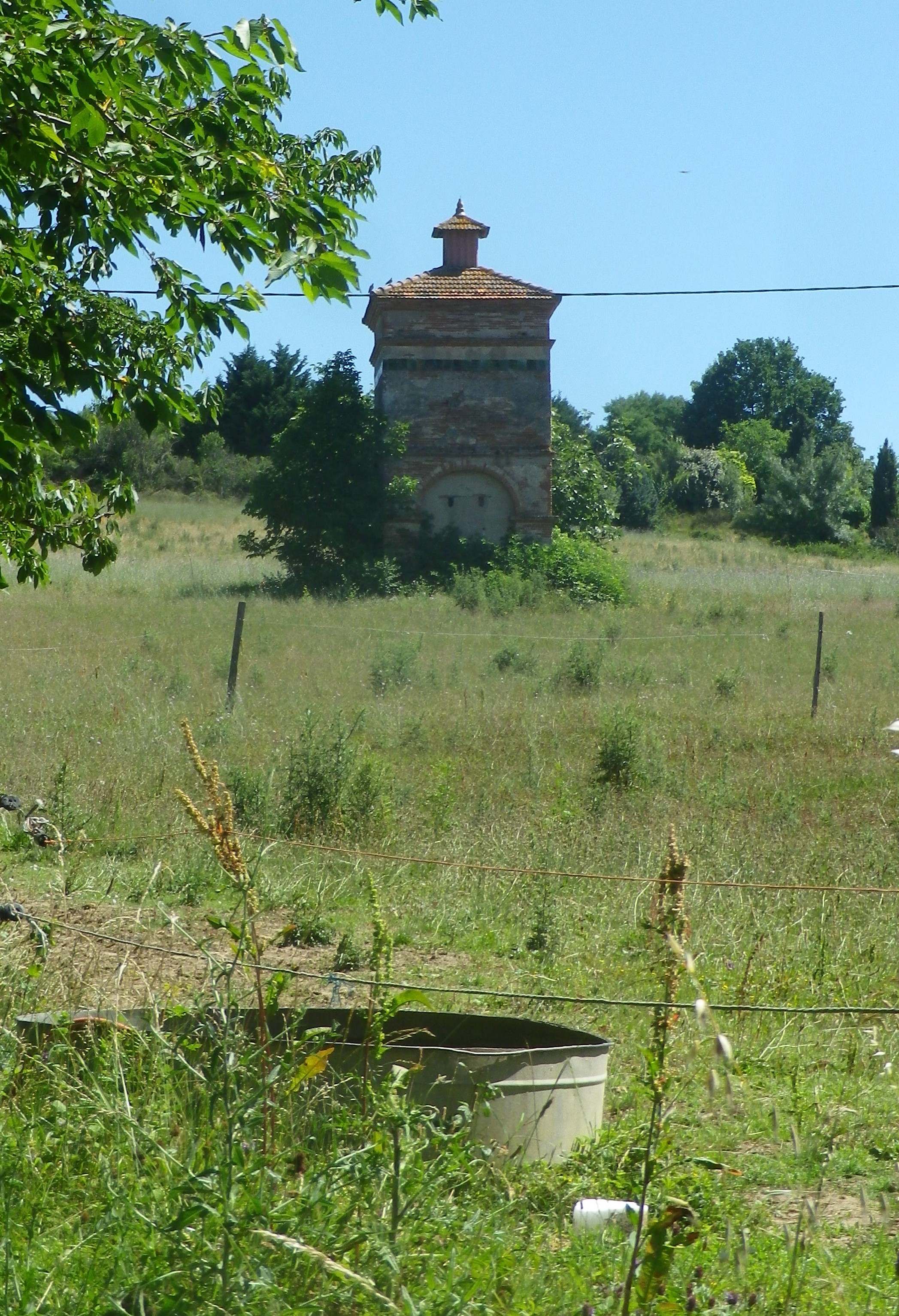
Huettenheim: Jewish Cemetery, Vineyards, two little ponds, forest; Kapellberg overlook, Kunigundenkapelle, scenic overlook, parking lot, Weinparadiesscheune Seinsheim; Steinbruch am Kunigundenwald, picnic area, Tannenberg Kreuz, Wanderhuette am Juedischen Friedhof
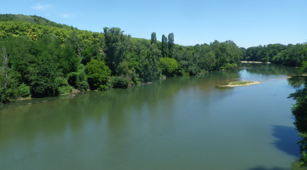
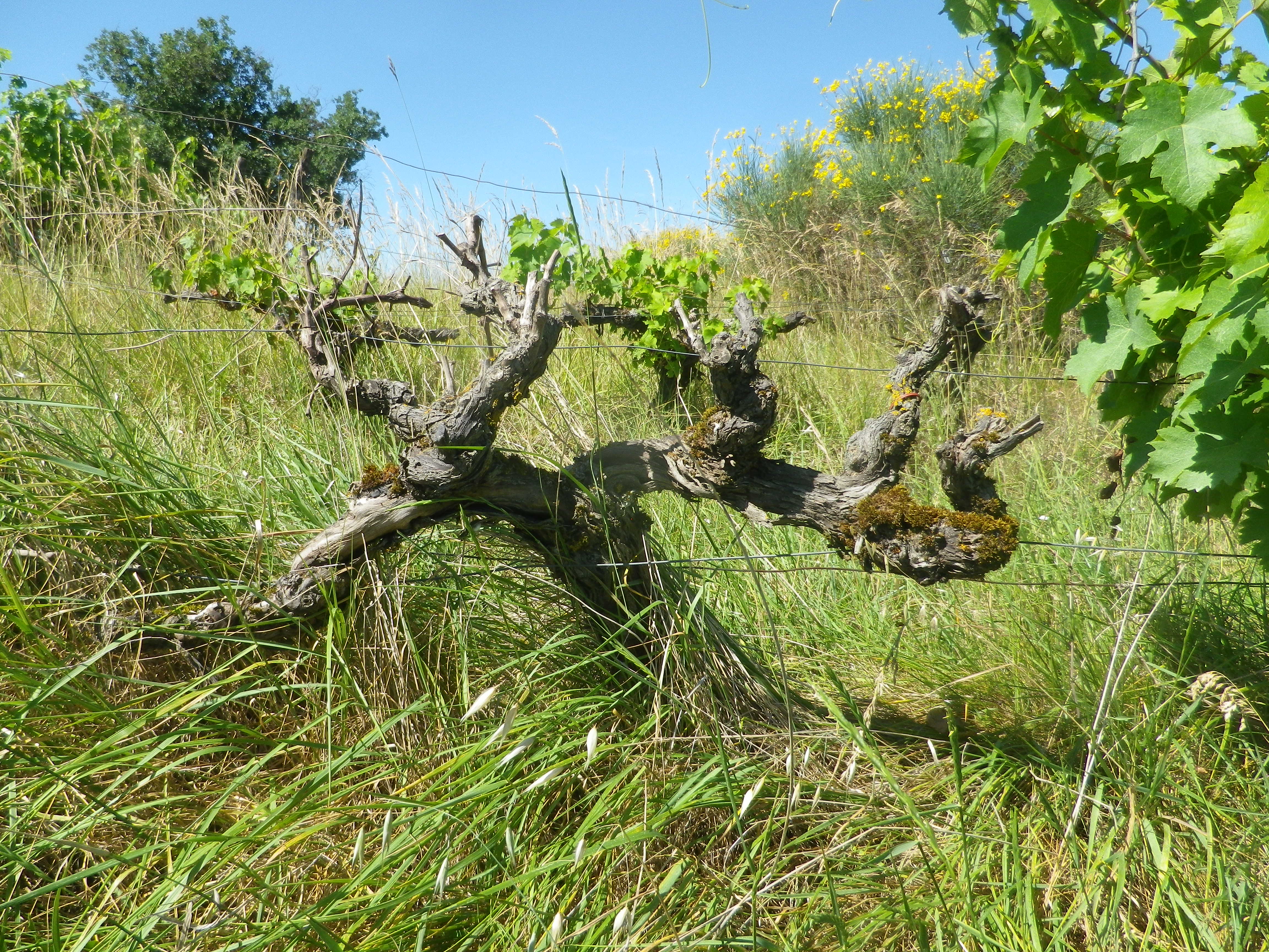
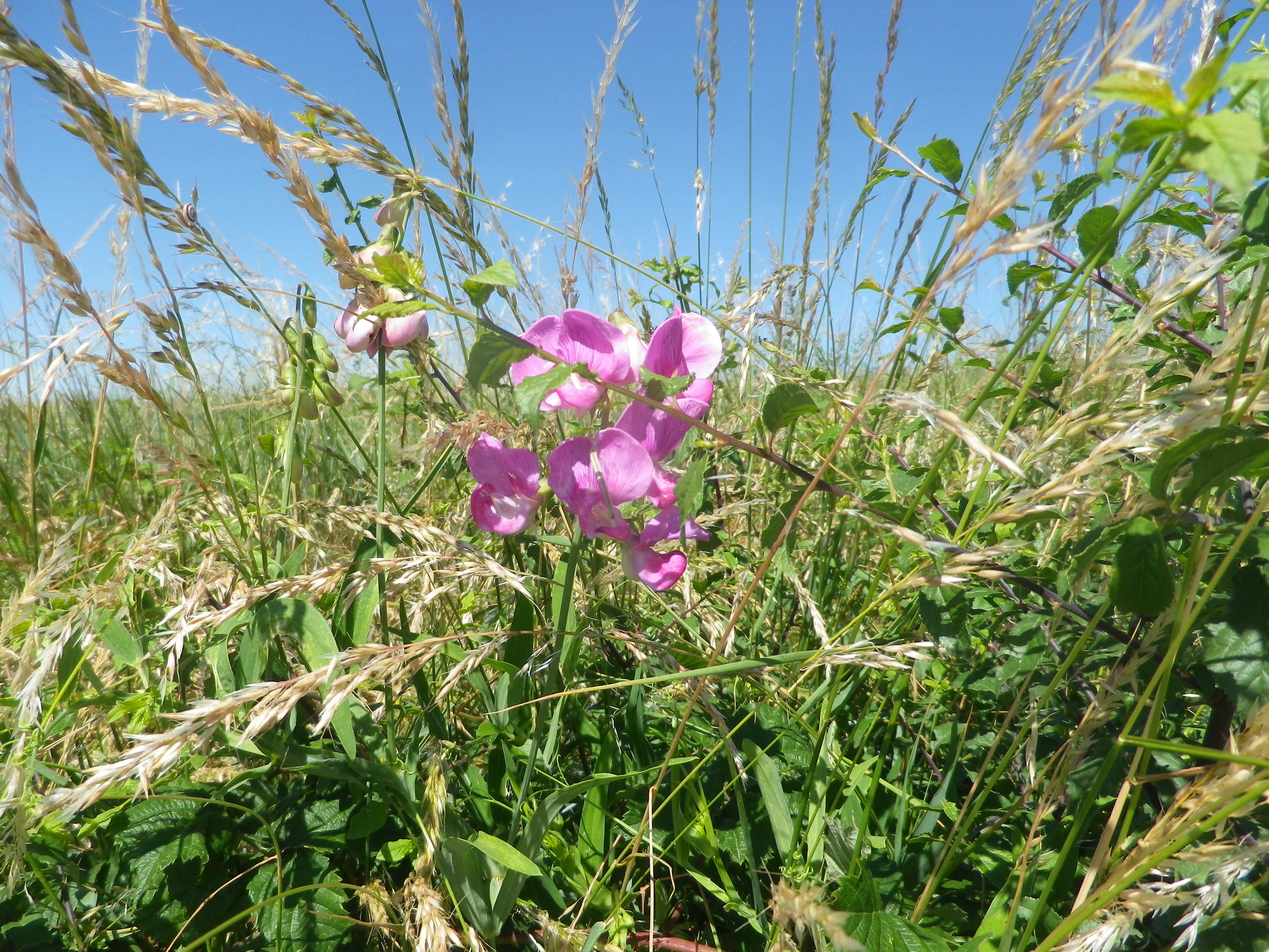
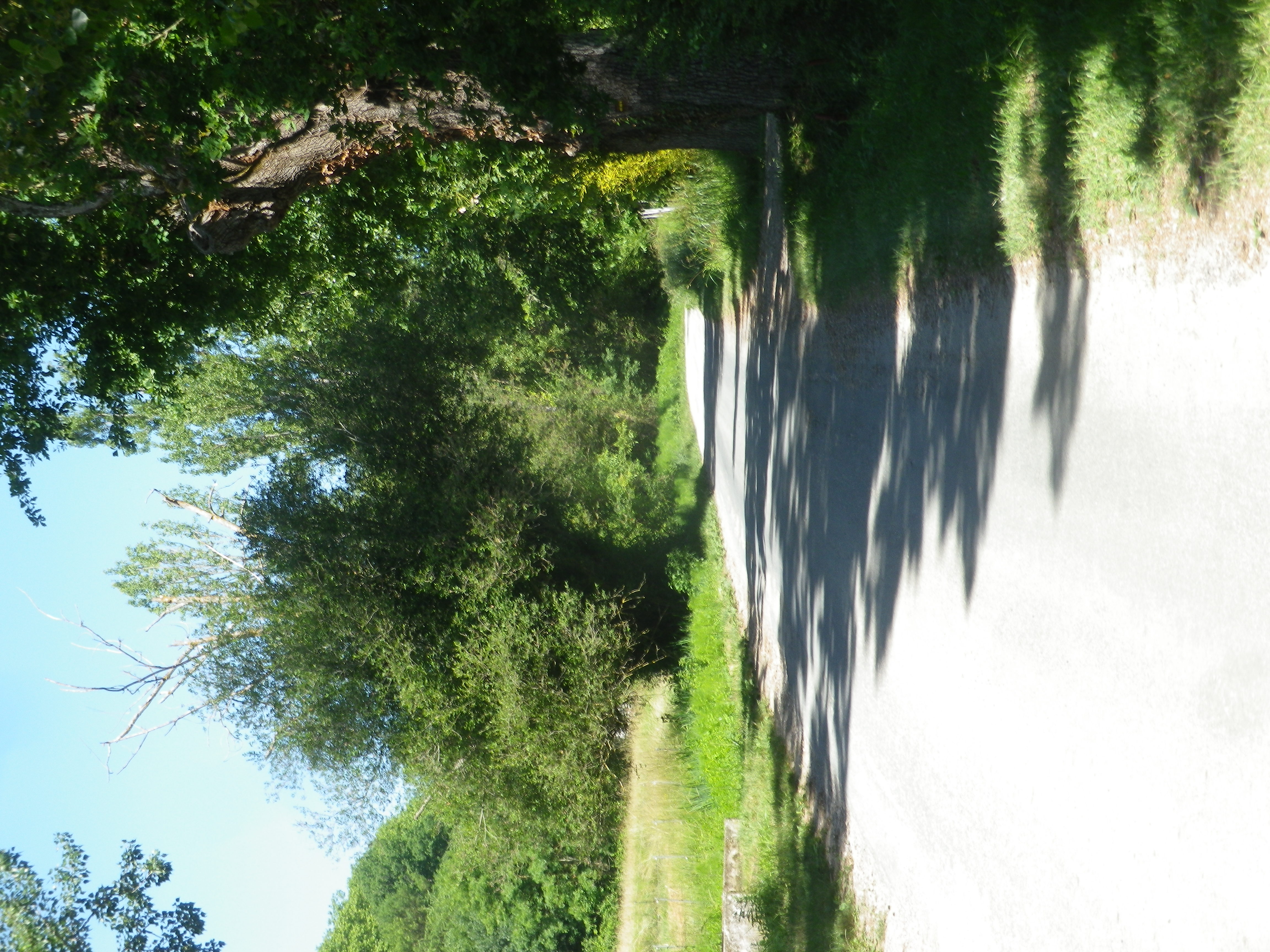
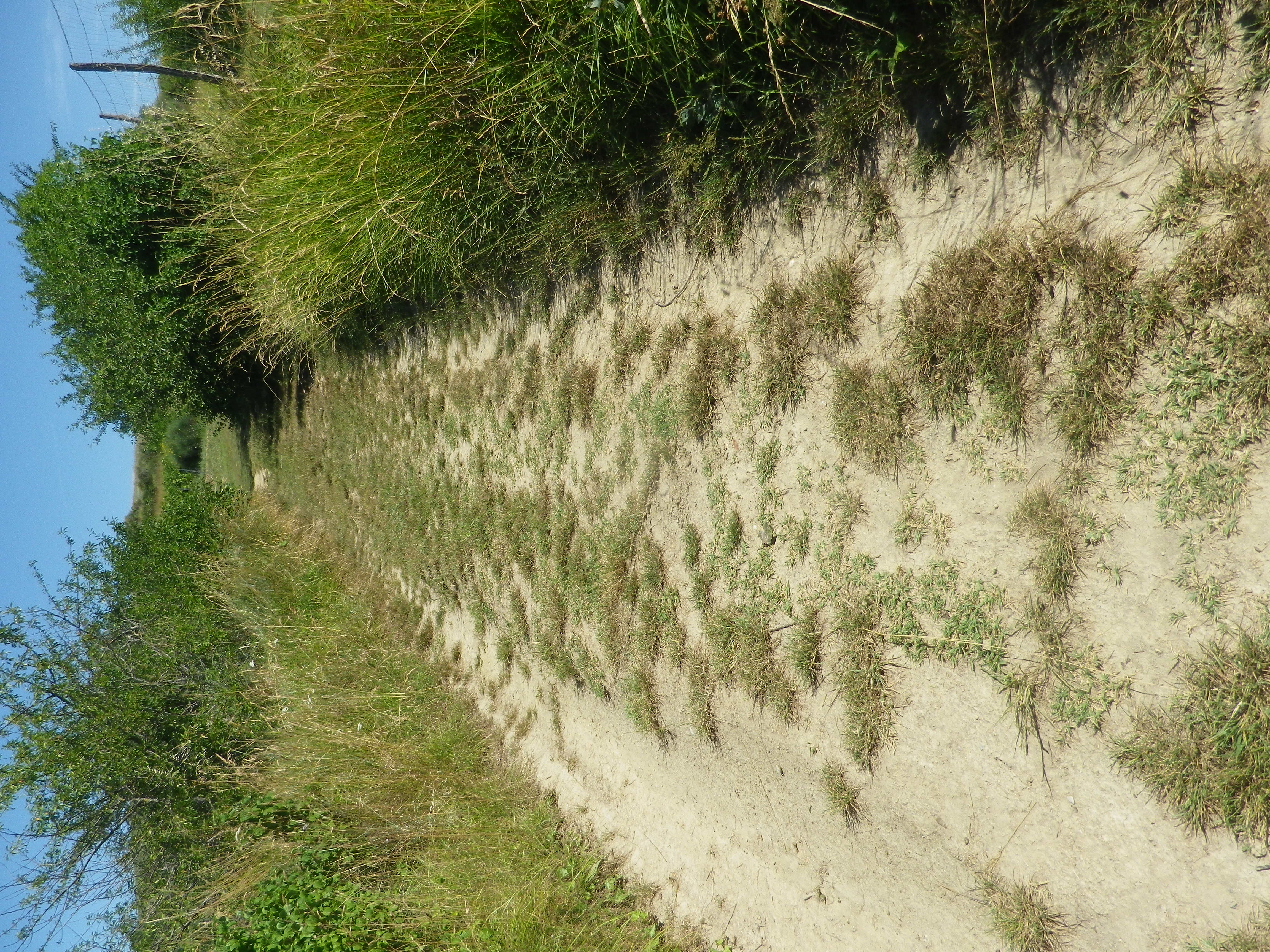
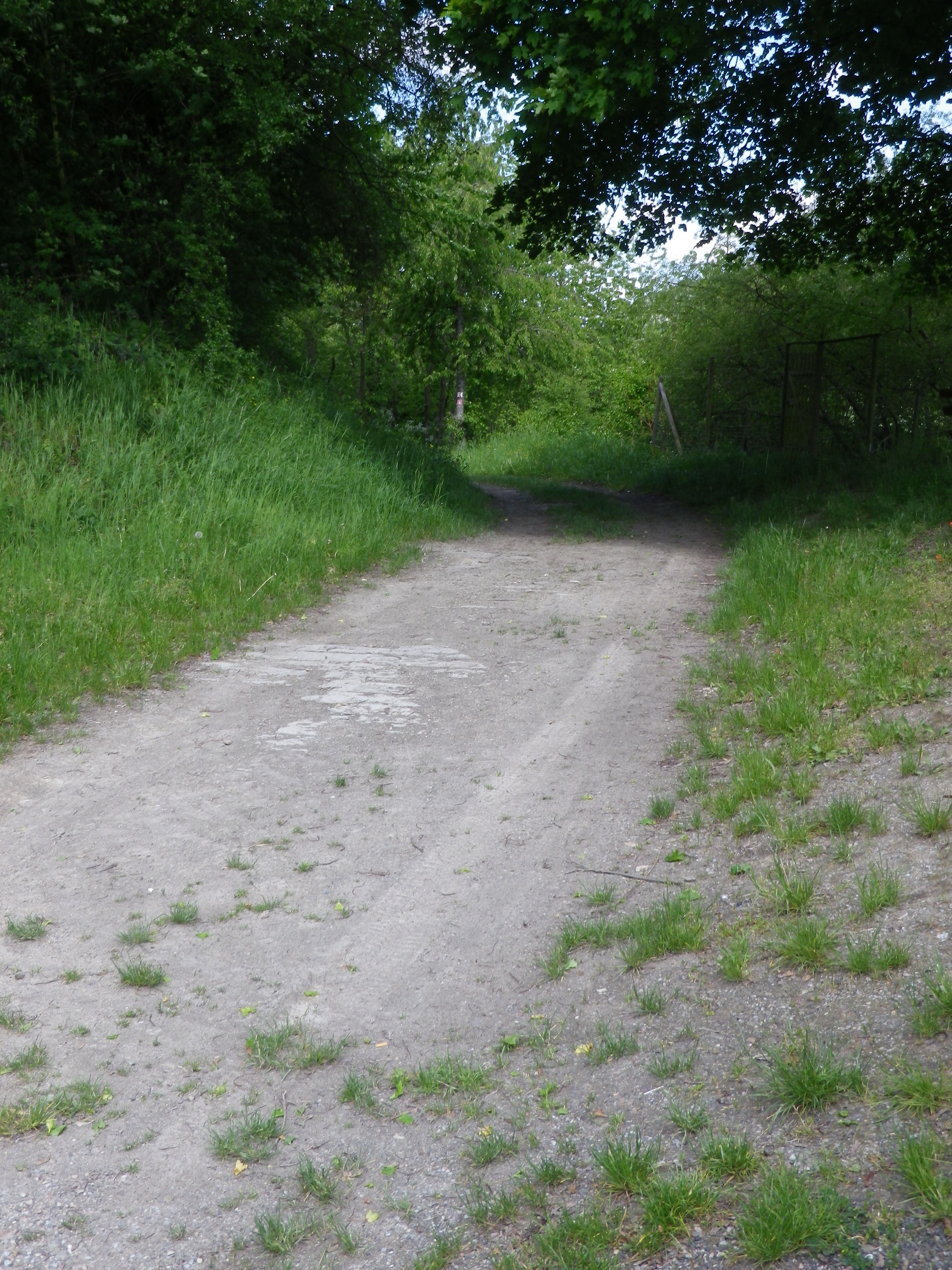
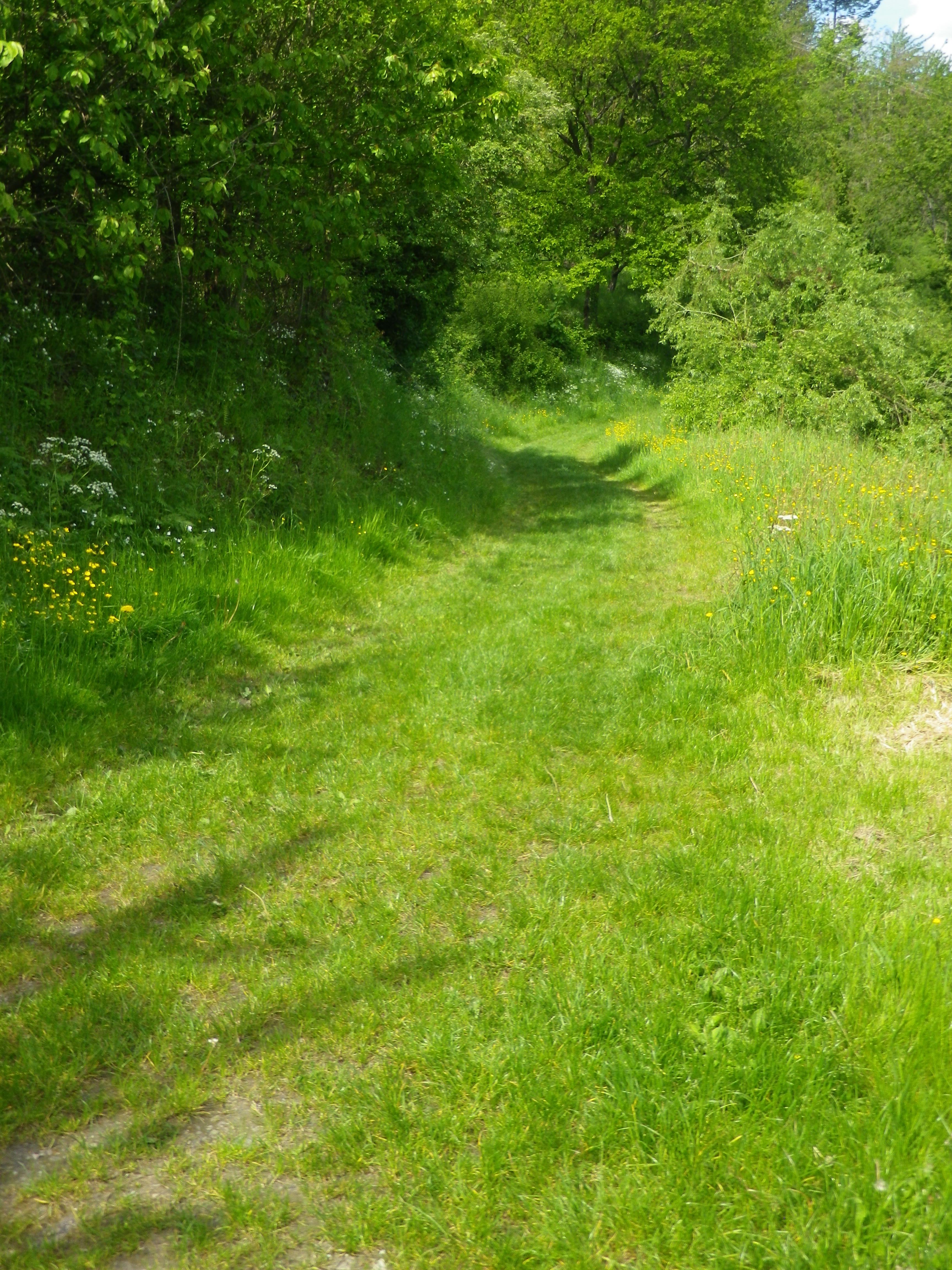
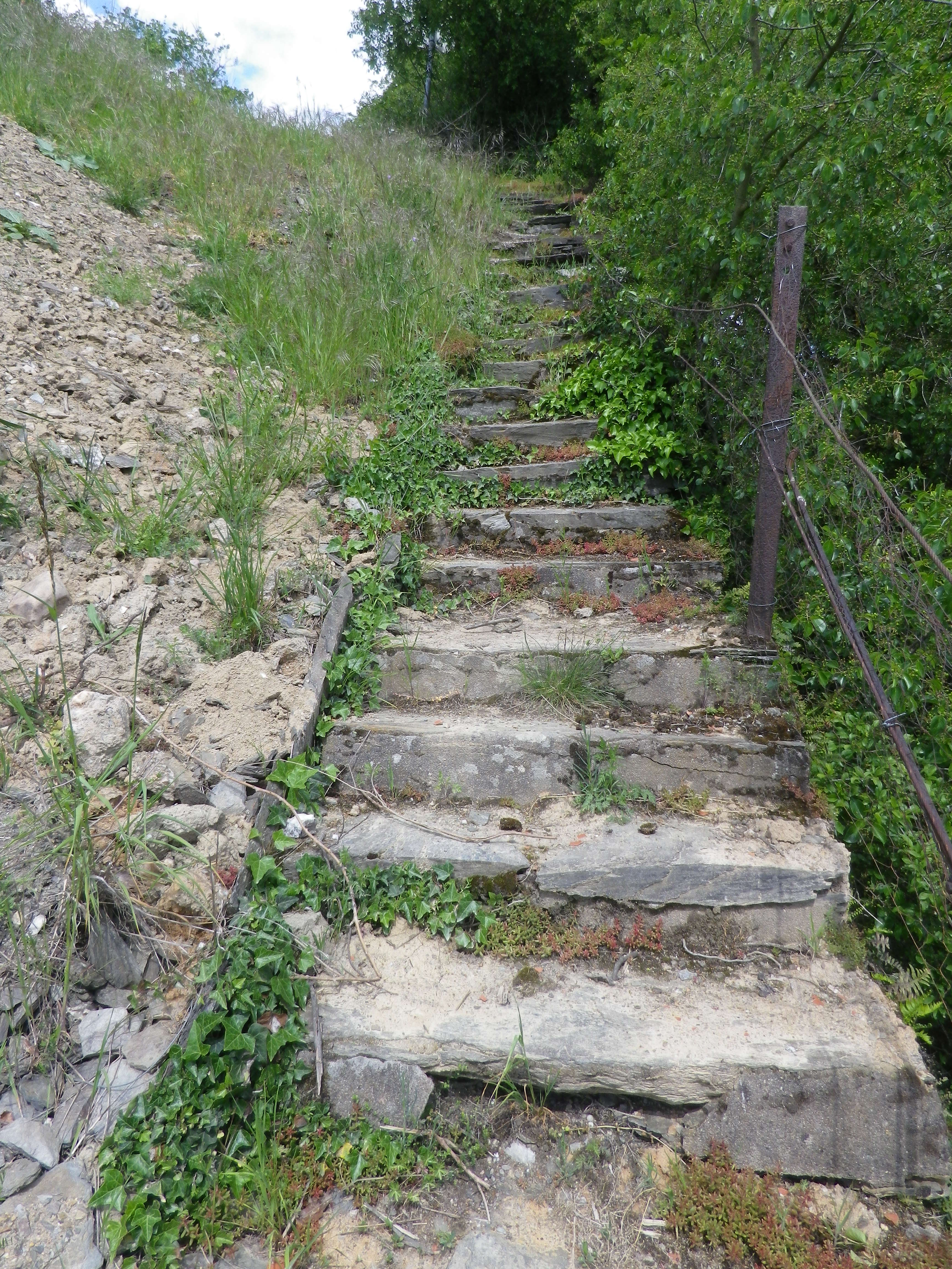
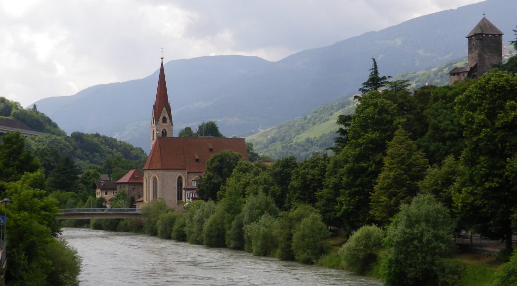
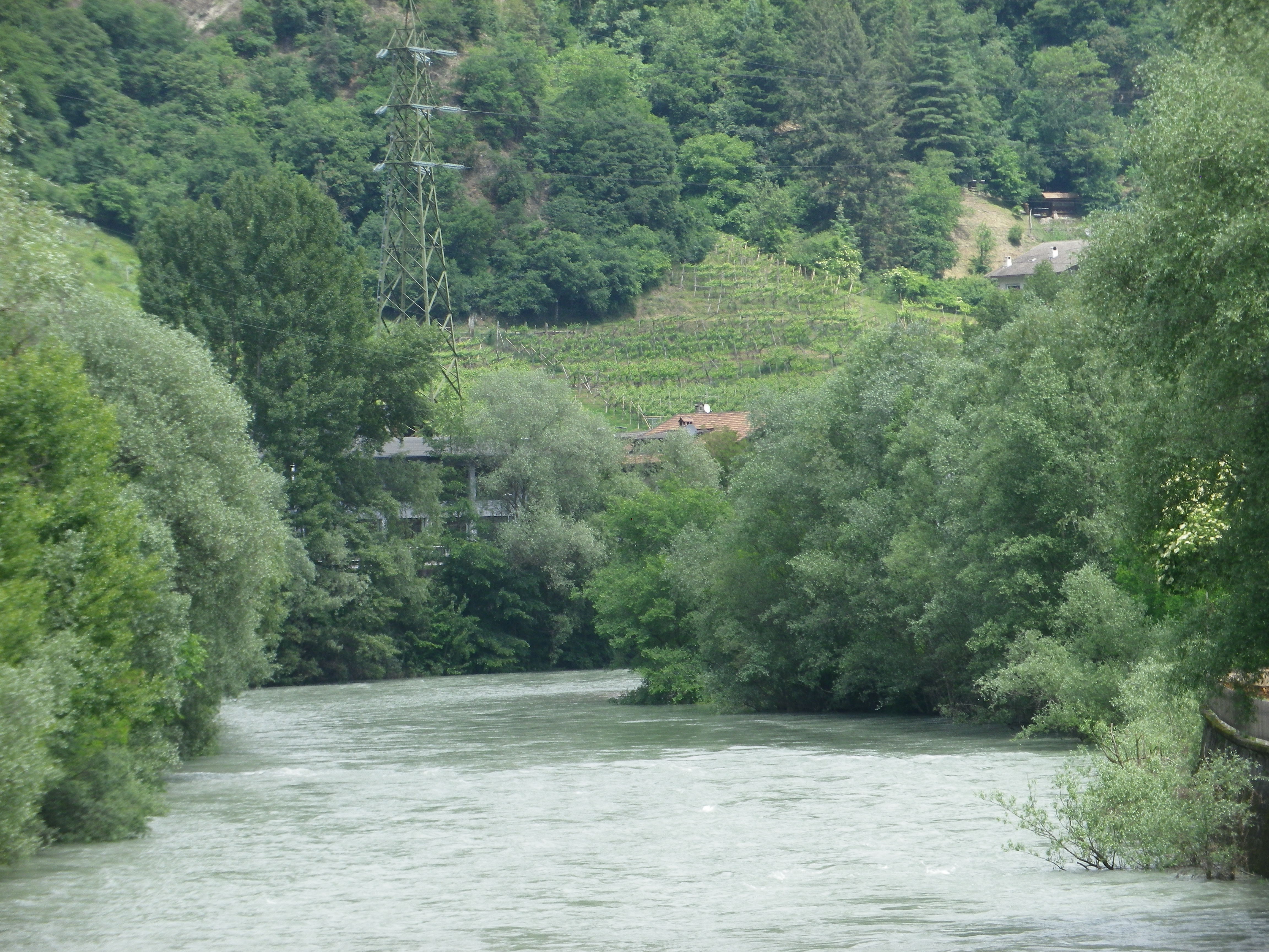
Representative Trail Photos:
Restrooms:
(Only observed at the WeinparadiesScheune)
Attractions on or near Trail:
Some wine education tables located intermittently along the trail.
Tasting along the Trail:
Weinparadiesscheune Seinsheim, directly on the trail
Small wineries and taverns in Bullenheim, Seinsheim and Huettenheim, all slightly off the trail
Alternative Options:
Hiking: TCW 49: Durch Fraenkische Weinparadies: a 12.9 kilometer circuit, through much of the same area, but, more challenging ascents and descents, and about 2 miles longer. See https://www.outdooractive.com/de/route/wanderung/steigerwald/tcw-49-durchs-fraenkische-weinparadies/227470702/
Additional Information:
Regional: https://www.ippesheim.de/
Trail specific: https://www.outdooractive.com/de/route/wanderung/fraenkisches-weinland/traumrunde-huettenheim-seinsheim/9552201/#dm=1
Comments:
Few parking lots, per se, just parking on the edges of lanes. So please be conscientious and respectful when parking road-side in the villages or vineyards.