Trail Name: Reblausweg (Nr 13)
Trail Type: Short distance circuit; well-maintained and mostly paved or hard-packed earthen trail, marking on the trail is mostly good, but not specific to this trail
Length:
Total – 7.8 kilometers/miles
Convenient to: Bingen, or Koblenz, Germany
Marking:
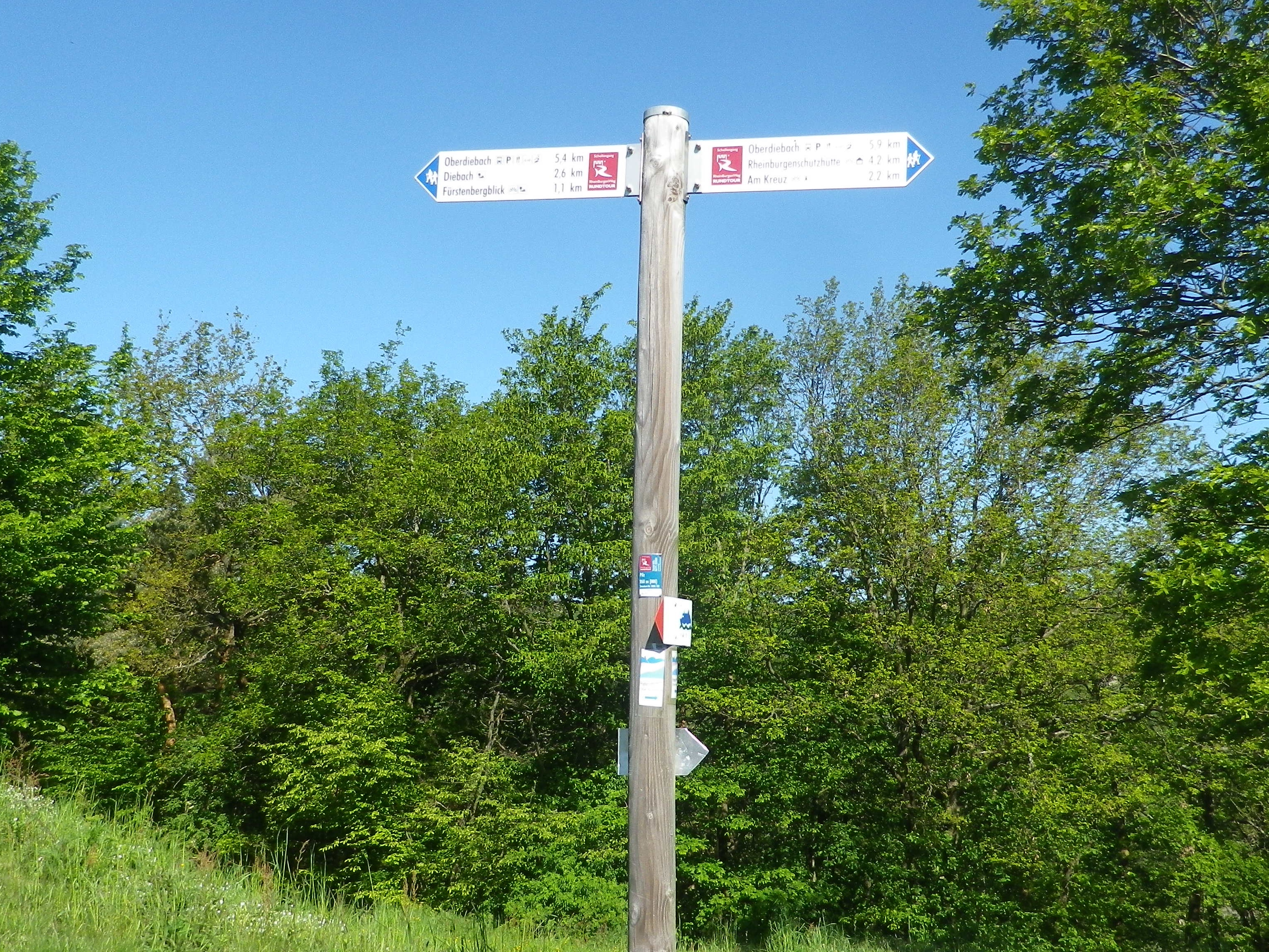
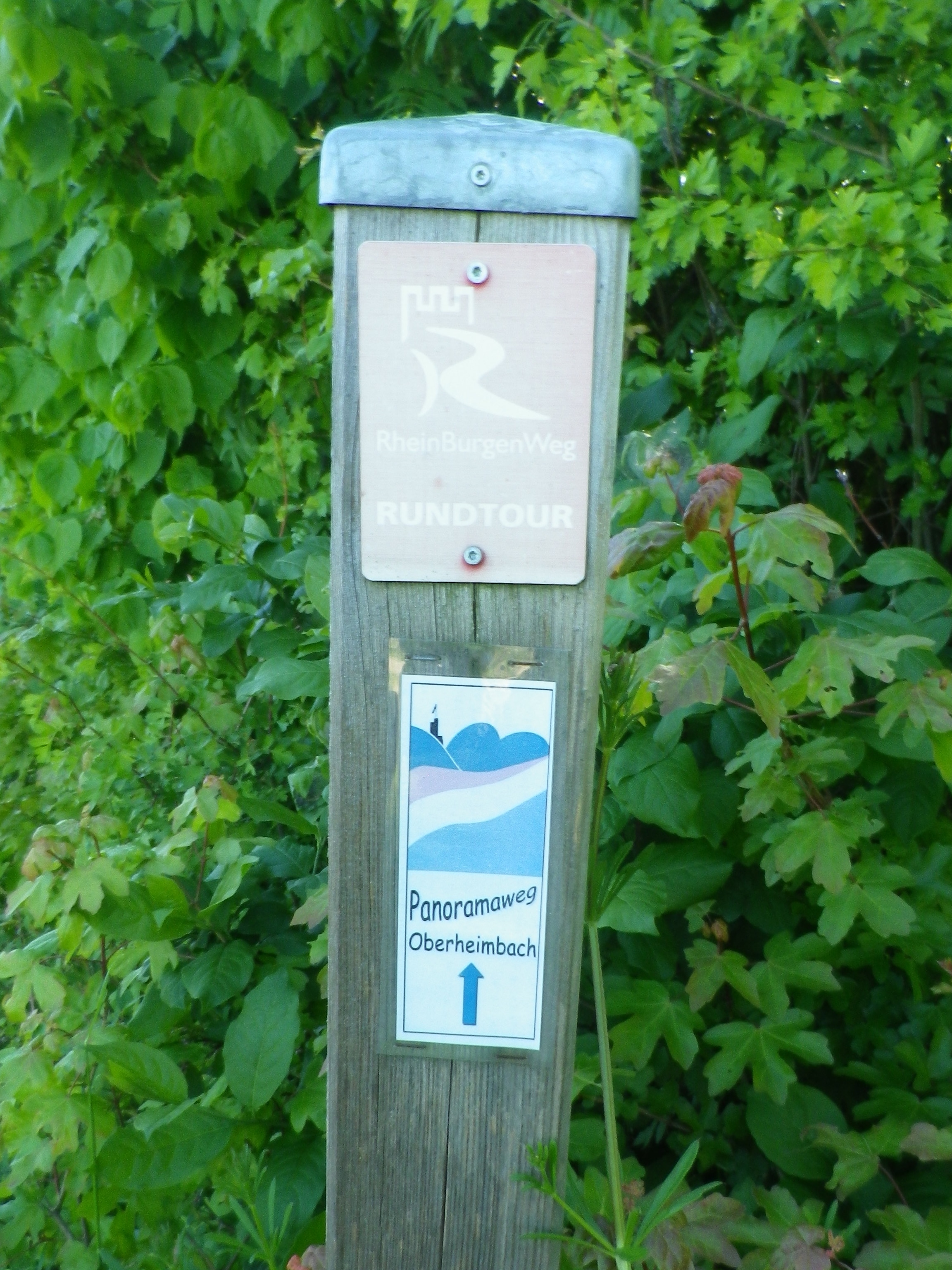
Nothing specific to the Reblausweg trail, but directional signs, and marking for the Panoramaweg trail (which this trail partly follows), are both helpful.
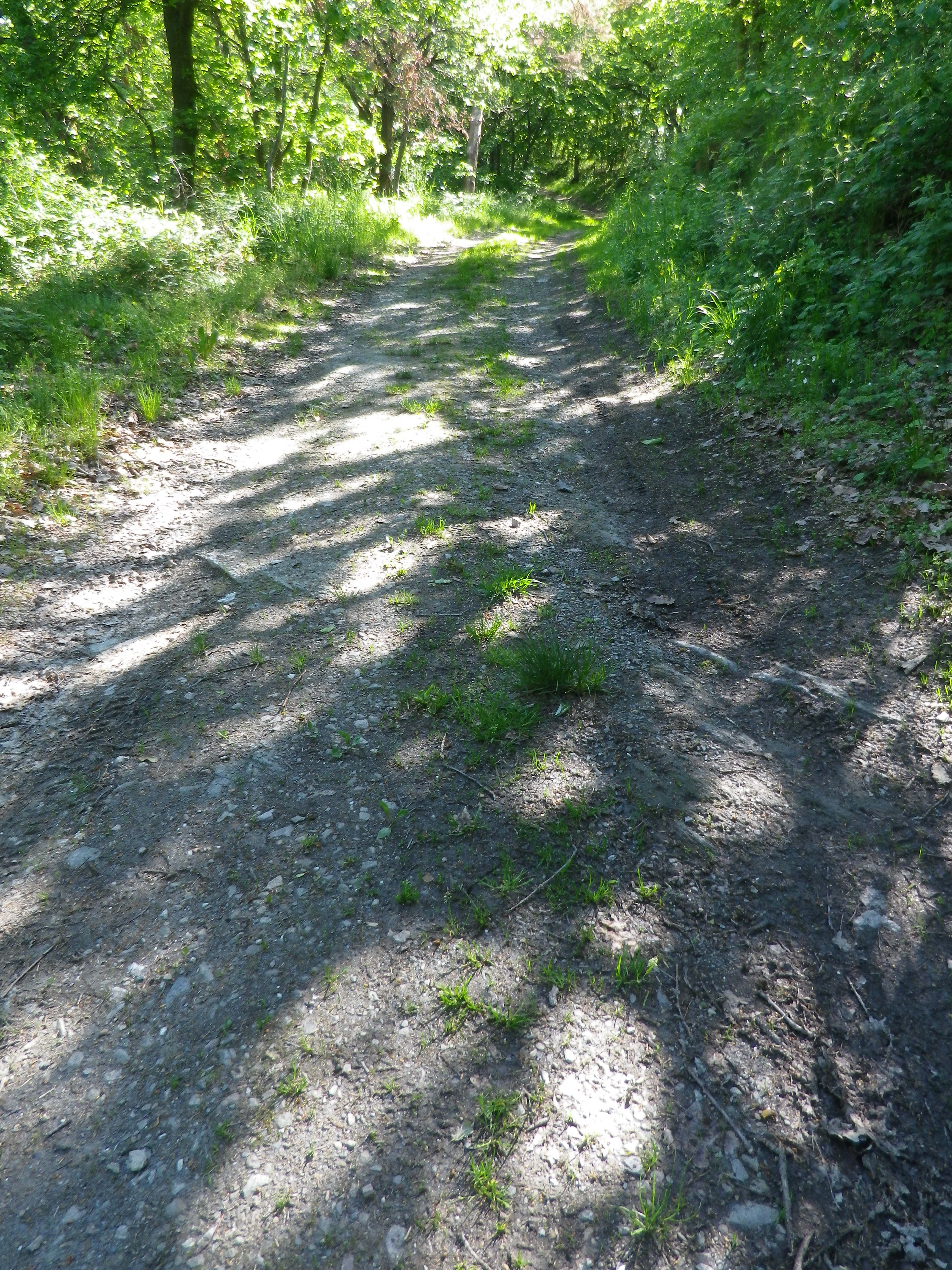
Trail Description: This is a slightly challenging trail through a little visited area of the famous Middle Rhine. It passes through some wooded areas, but mostly vineyards, with clear views of the vineyards and castles on the opposite (and more visited) side of the Rhine.
Trailhead:
Niederheimbach, ferry dock or train platform, both along Rheinstrasse
Alternatively, (especially for those hikers not using public transportation and unable to find parking in Niederheimbach), begin at one of the Oberheimbach parking areas (below)
Parking:
Niederheimbach: A few street-side places where parking is not prohibited along the Rheinstrasse or Heimbachtal streets
Oberheimbach: Hauptstrasse, an improved medium-sized lot at the Gemeinde Haus; Hauptstrasse, six or so parking places along the street on the upper end of town near the intersection with Gambachstr.
Public Transportation Options:
Rail: Very frequent train service (DeutscheBahn (DB) regional train RB26) connects Niederheimbach with Mainz to the south, or Cologne to the north with stops all along the Mittel Rhein including Bingen, Boppard, St Goar, Koblenz, amongst others.
Ferry: A local ferry runs frequently to connect Niederheimbach with Lorch on the opposite bank.
Bus: A small bus connects Rheindiebach, Nieder (Lower)-Heimbach and Ober (Upper) -Heimbach (beginning in Bacharach). (As of June 2019, the number was 631, and it operated basically during school/commuter hours. See the Rhein-Naehe Nahverkehrsverbund (RNN) website for most current details.)
Suggested Stages: Not applicable
Trail Itinerary-Reference Points: (Clockwise)
Niederheimbach: Heimbachtal/K28, right onto second street on the right (Schulstrasse?), onto agricultural lane paralleling K28 heading up the valley, vineyards; Oberheimbach: Am Sonnenhang, descend left onto K28/Hauptstr, at four-way intersection, turn right to Kohlgasse, then left onto Am Sonnenhang, Im Piesel, turn left at the t intersection in vineyards, follow to the Fuerstenbergblick lookout point, edge of forest, Wurschberg highpoint, vineyards; Niederheimbach: Lookout point “Tempelchen,” down to Heimbachtal/K28, retrace to start point
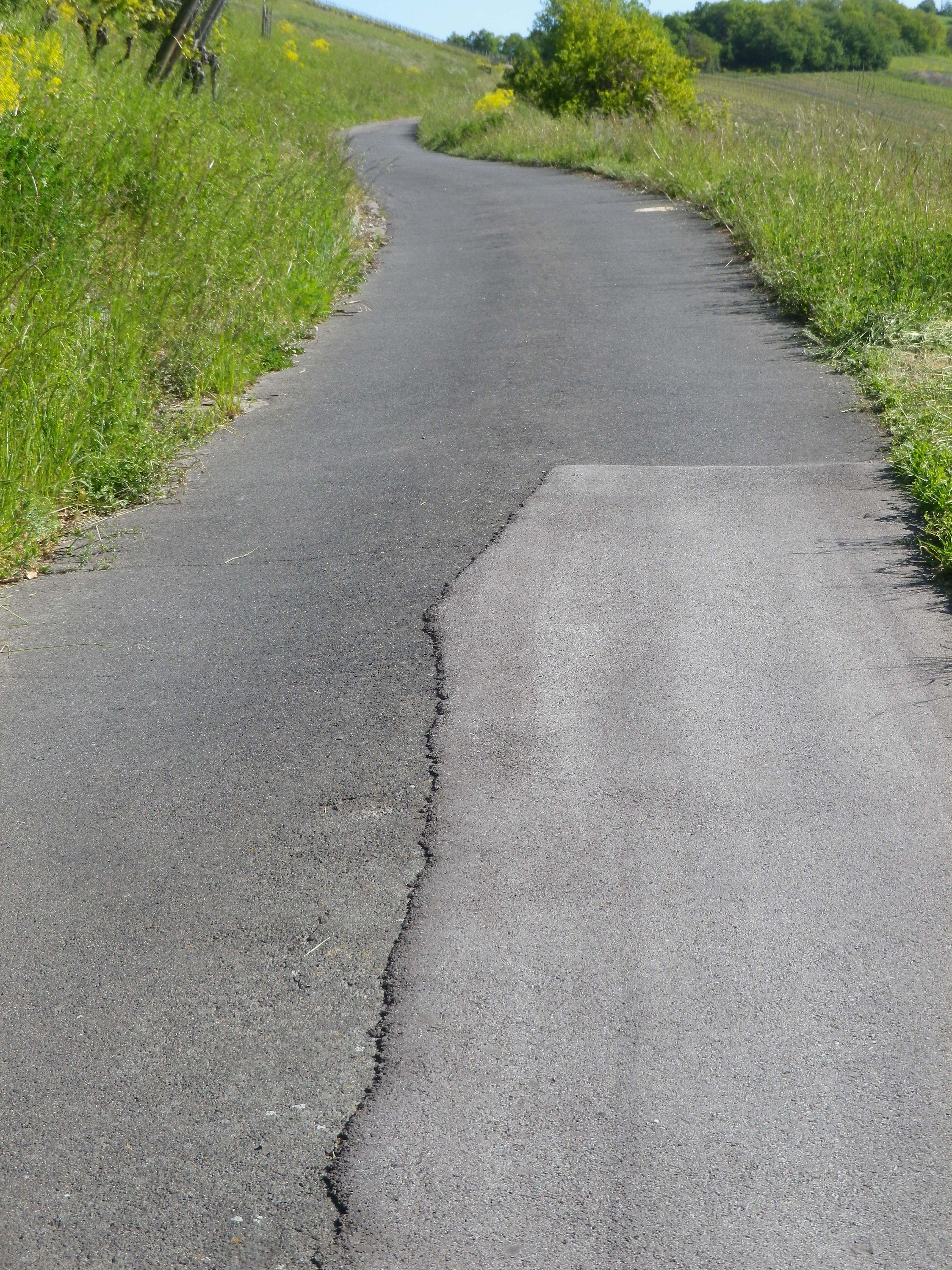
Representative Trail Photos:
Restrooms:
Oberheimbach: Kirchstrasse, a small building next to the church, but not always open
Attractions on or near Trail:
Just lots of pretty scenery!
Tasting along the Trail:
Oberheimbach has several wineries in the village center, right along (or a block off) the trail. Both Niederheimbach and Oberheimbach have guesthouses and restaurants that serve local wines.
Alternative Options:
Hiking: Panoramaweg, a 17-kilometer-long trail linking both sides of the Heimbach valley, from Niederheimbach to Oberheimbach.
Additional Information:
Regional: https://www.romantischer-rhein.de/ and https://www.oberheimbach.de/
Trail specific: https://www.outdooractive.com/de/route/wanderung/romantischer-rhein/nhb-nr.-13-reblaus-wanderweg/116254724/
Comments:
The northern part of this trail followed a part of the Panoramaweg, a 17-kilometer-long circuit trail linking both sides of the Heimbach valley, from Niederheimbach to Oberheimbach.