Trail Name: Nr 22 – Fuerstenbergblick
Trail Type: Short distance circuit trail; well-maintained and mostly paved or hard-packed earthen trail, marking on the trail is mostly good, but not always exclusively specific to this trail as other trails follow along it as well.
Length:
Total – 7 kilometers/4.3 miles
Convenient to: Bingen, or Koblenz, Germany
Marking: Nr 22, or follow signs to next itinerary point
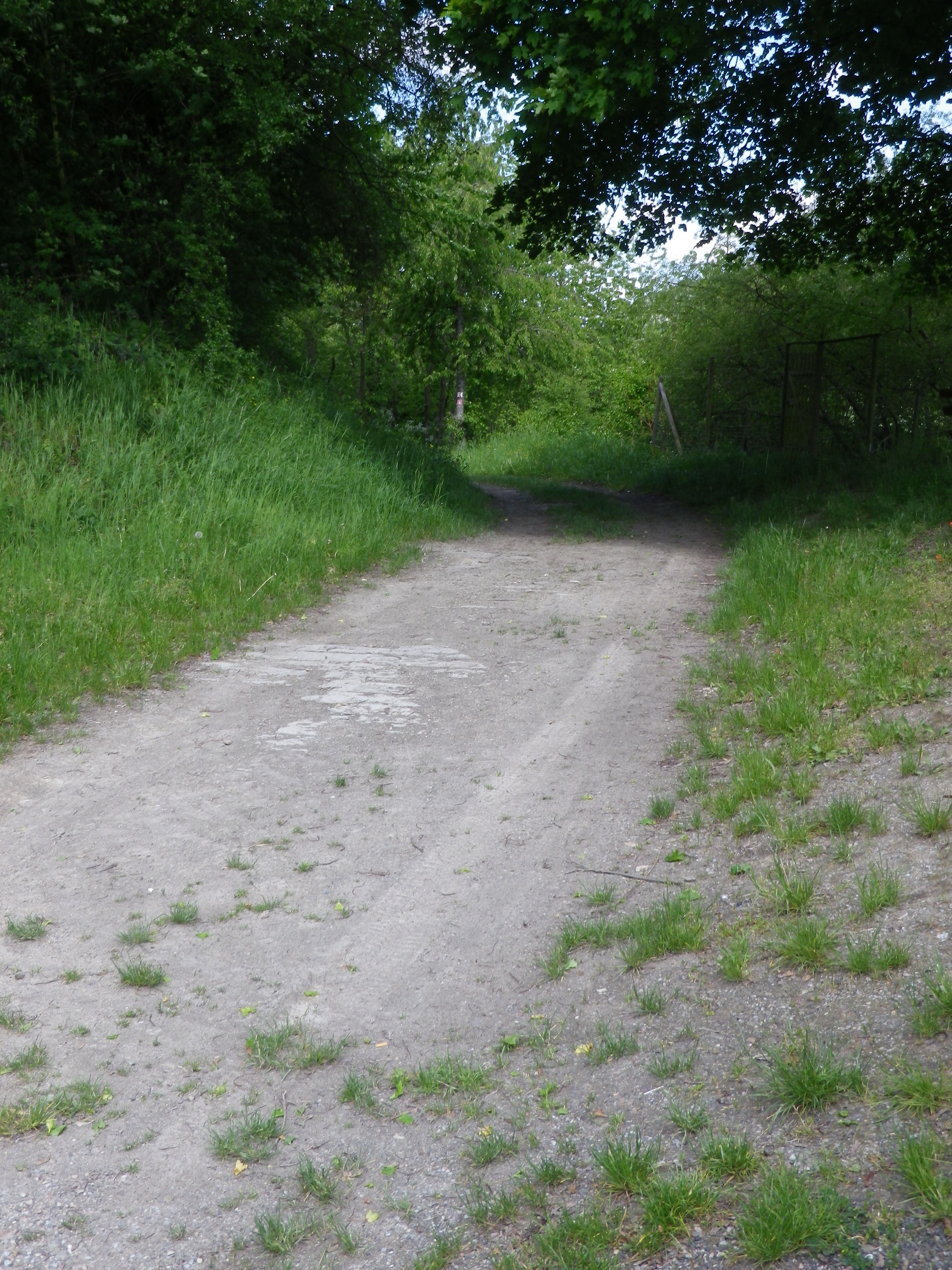
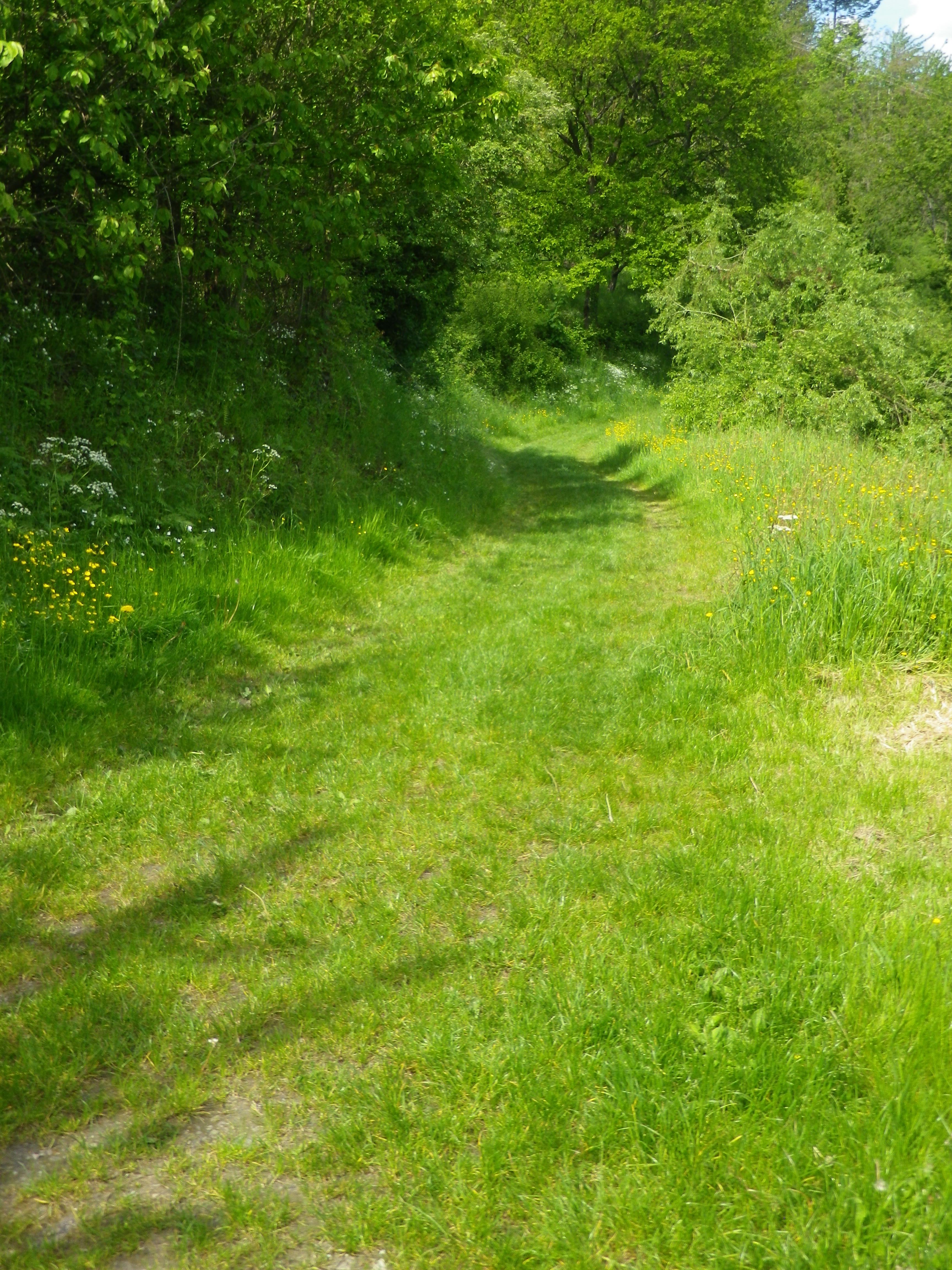
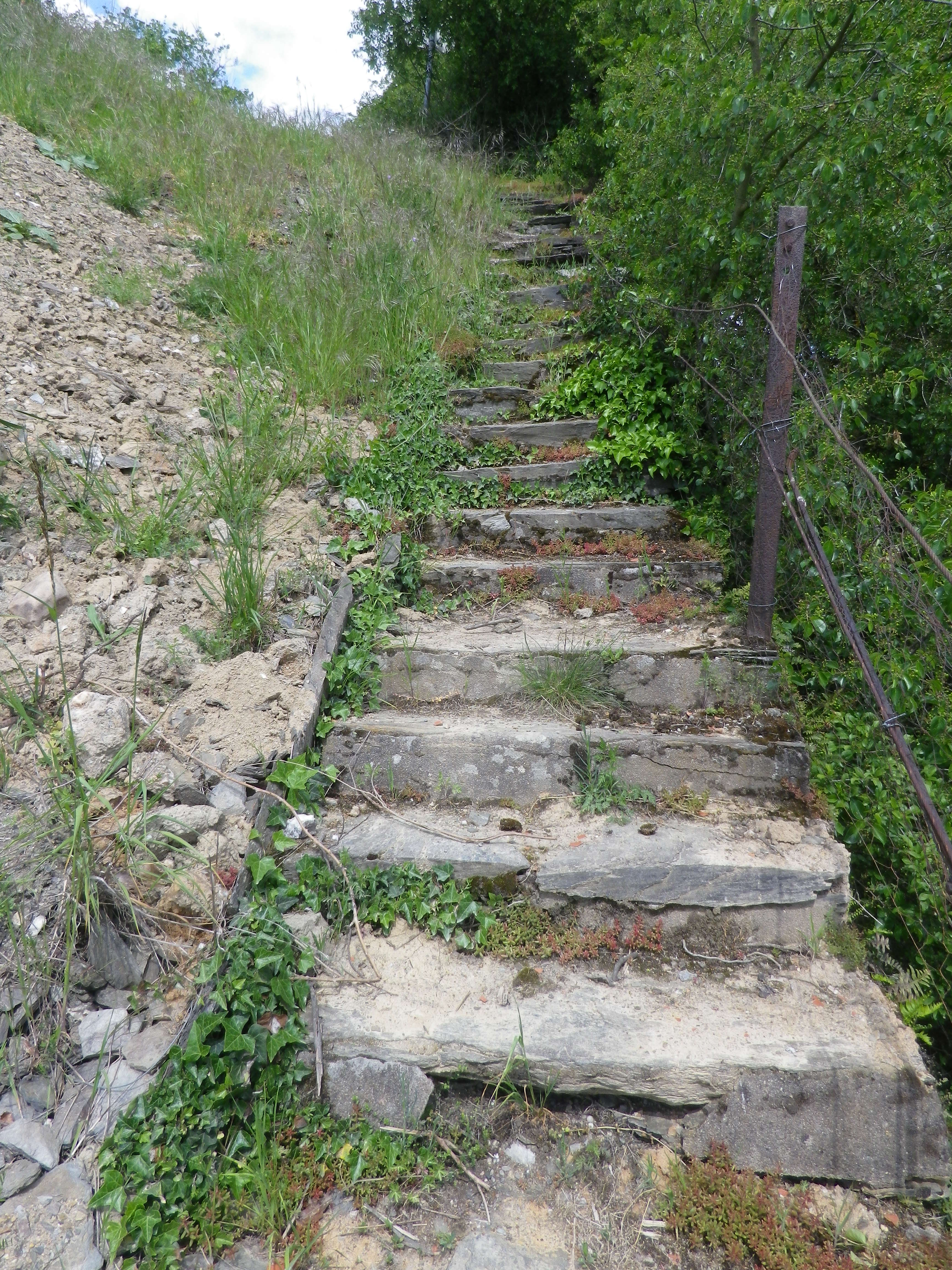
Trail Description: This is an easy trail through a little visited area of the famous Middle Rhine. It passes through a couple of wooded areas, but mostly vineyards, with clear views of the vineyards and castles on the opposite (and more visited) side of the Rhine, and a lovely riverside walk to close the circuit.
Trailhead:
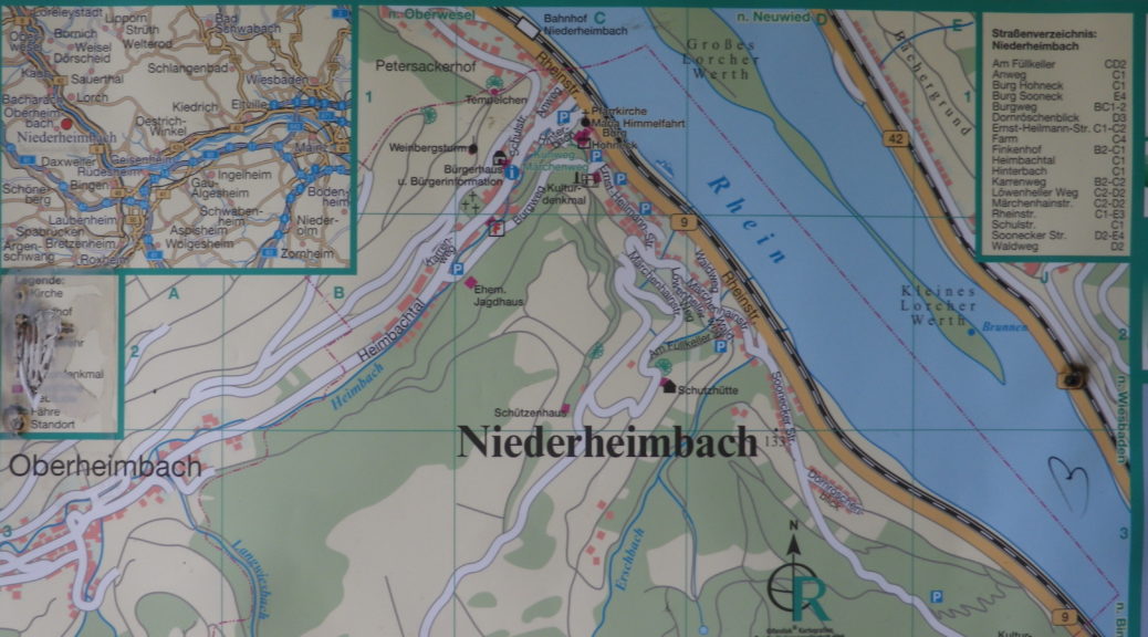
Niederheimbach, Rheinstrasse riverside walking path
Parking:
Niederheimbach: A few street-side places where parking is not prohibited along the Rheinstrasse or Heimbachtal streets
Public Transportation Options:
Rail: Very frequent train service (DeutscheBahn (DB) regional train RB26) connects Niederheimbach with Mainz to the south, or Cologne to the north with stops all along the Mittel Rhein including Bingen, Boppard, St Goar, Koblenz, amongst others.
Bus: See the Rhein-Naehe Nahverkehrsverbund (RNN) website for details of bus travel through this area
Suggested Stages: Not applicable
Trail Itinerary-Reference Points: (Clockwise)
Niederheimbach: Heimbachtal, then turn up to Rheinblick, vineyards, lookout point “Tempelchen”, woods, Rheindiebach: Cross Rheingoldstrasse/K27, vineyards, to and past Burg Fuerstenberg ruins, pass above the cemetery, Rheingoldstr, Mainzerstr, pass under B9 and train tracks, continue on the waterside path back to Niederheimbach
Representative Trail Photos:
Restrooms:
Rheindiebach: along the river, just north of the pedestrian underpass
Attractions on or near Trail:
Just lots of iconic Rhine River scenery!
Tasting along the Trail:
Niederheimbach and Oberheimbach both have guesthouses and restaurants that serve local wines. Niederheimbach even has one right along the river!
Alternative Options:
Hiking: Reblausweg (Nr 13) / Route 1 Panoramaweg, an 8 kilometer circuit trail beginning/ending at Niederheimbach. See the Nutshell here.
Biking: Rheinradweg, is a multi-day tour following the Rhine, but an easy day trip, with lots of stops for photos, is from Koblenz to Bingen am Rhein, or vice versus. It passes through Niederheimbach, which is one of the trains stops along the river route. See the Nutshell here.
Additional Information:
Regional: https://www.romantischer-rhein.de/ and https://niederheimbach.welterbe-mittelrheintal.de/
Trail specific: https://www.outdooractive.com/de/route/wanderung/romantischer-rhein/nhb-nr.-22-fuerstenbergblick-rundwanderweg/116090787/ or https://www.niederheimbach.info/media/files/nhb-wanderweg_022_k-2022-07.pdf
Comments:
Short, easy, but lovely.