Cycling Through the Collio Vineyards


Slow Collio, “un Paesaggio da Bere” (Slow Collio, a Terrain to Drink). Upon reading the inviting name of this cycling itinerary, two contradictory thoughts came to mind.

First: What a great concept, combining the territory and the wine, all the while promoting the slow enjoyment of both; and then, in my experience hills and drinking wine could present a cycling challenge.

Then: the fact that the word “Collio” implies hills, which gave me, a not-so-fit wine enthusiast, a moment of sober reflection, before my enthusiasm for being outdoors, and visiting wineries to taste local wines kicked back in.

Friuli, in Northeastern Italy

Continue reading Cycling Through the Collio Vineyards

Wine Notes: Collio


What I Learned

In the far northeast corner of Italy, bordered on the north and east by Slovenia, lies Italy’s wine paradise of the Collio. Not to be confused with its northern and western wine region neighbor, the Colli Orientale di Friuli, the Collio region likewise falls within the Italian region of Friuli. The Collio wine region, which has its own Denominazione di Origine Controllata (DOC) status, is a relatively small enclave of approximately 1600 hectares (about 4000 acres), running south to north from Gorizia to Dolegna. Cormons, a town larger in fame within wine circles than in size, is at its spiritual, if not geographical, center.

Continue reading Wine Notes: Collio

Gorizia a Cormons: Trail in a Nutshell


Trail Name: Gorizia a Cormons (AKA: Slow Collio, Un Paesaggio da Bere)

Trail Type: Short distance cycling circuit (with a short tail from Gorizia); about half on lightly travelled paved roads through and between towns, and half on improved earthen trails through countryside, mostly in a protected nature zone; well maintained, but the route itself is well-marked in places, but not in others.

Length: 23 kilometers/ 14.3 miles

Convenient to: Udine, Gorizia, Italy

Marking: FVG3 and Slow Collio.

Signage For Part of the Trail

Continue reading Gorizia a Cormons: Trail in a Nutshell

Empires Past and Present

Charlemagne brought wine to Ingelheim, and I followed a trail to Ingelheim, wine, and Charlemagne. Thus, in one fell swoop, I managed to satisfy my wine, hiking, and early medieval history passions in this small town on a partly sunny afternoon.

The Carolingian and earlier Merovingian times in Western Europe have always interested me. So when I heard about the wonderful exposition of the remains of one of Charlemagne’s favorite palaces, I had to visit. In addition to a highly focused and informative museum on the palace, the great signboards at exposed walls throughout the town, and outlines in stone of once-extant huge palace structures, help bring the old palace alive, as it was in Charlemagne’s time.

Ingelheim: Old Palace Ruins

Continue reading Empires Past and Present

Wine Notes: Rheinhessen Reds


What I Learned:

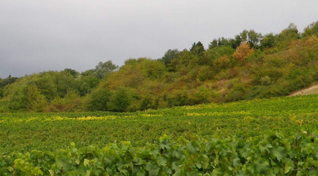
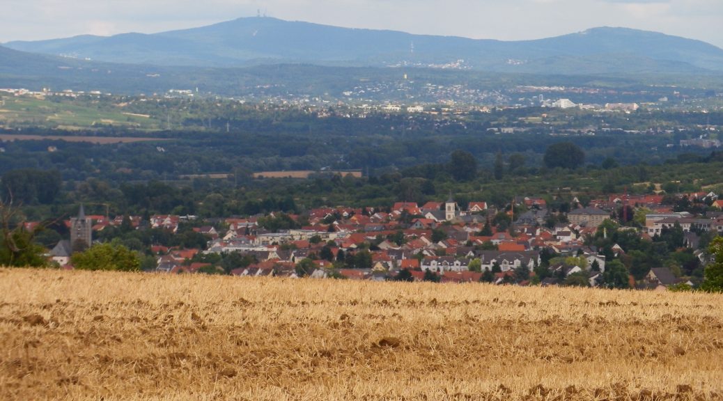
Of all the German states, Rheinland Pfalz has the most wine regions. And of all the German wine regions, the Rheinhessen wine region is the largest. Situated on the left/west bank of the Rhine, between roughly Worms and Mainz, it extends away from the river to as far west as Alzey-Weinheim, itself about 25 kilometers from the Rhine. In total, Rheinhessen vines cover approximately 26,000 hectares/65,000 acres.

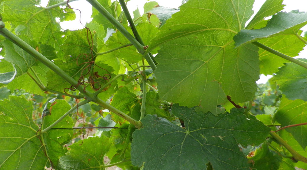
The area round Ingelheim is known for its Spaetburgunder, or Pinot Noir. Most recent figures from the German Wine Institute show that white varietals represent about 63% of all cultivated vineyards, not unsurprising in a country where Riesling is king. However, more red varietals are being planted as the years pass, and of these, Spaetburgunder, Pinot Noir, leads the way with an impressive 11.5% of all red varietals in cultivated vineyards.

Continue reading Wine Notes: Rheinhessen Reds

Hiwweltour Bismarckturm: Trail in a Nutshell


Trail Name: Hiwweltour Bismarckturm

Trail Type: Mid-distance circuit; trail surface variable – from earthen to paved, includes stairs, well maintained overall; the route itself is fairly well-marked.

Length: 10.3 kilometers/6.4 miles

Convenient to: Mainz, Germany

Marking: A cursive lower-case “h” on a half-blue/half-green rectangular-shaped background

Hiwweltour Signage


Continue reading Hiwweltour Bismarckturm: Trail in a Nutshell