
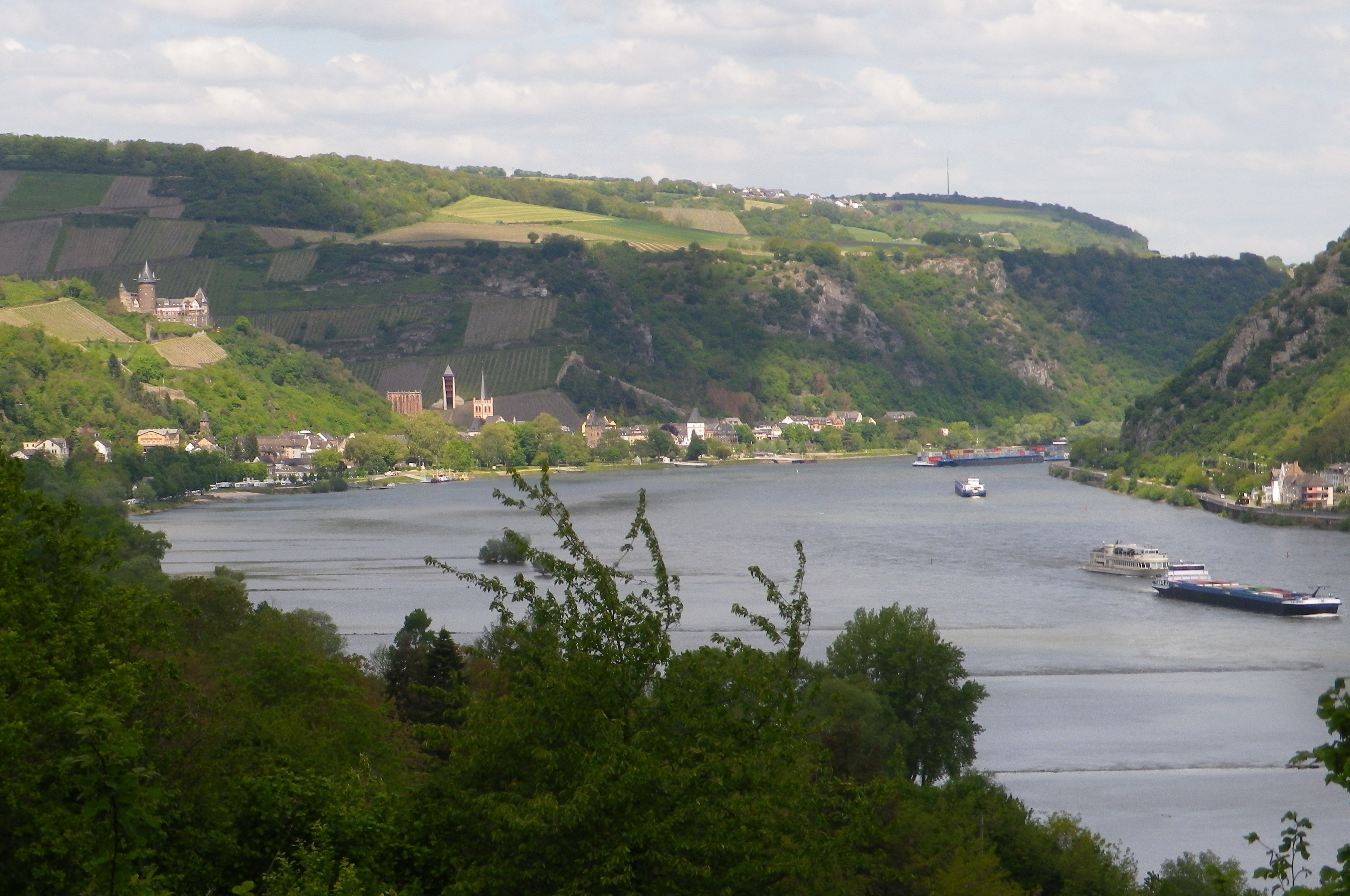
Ships on the Rhine

Vineyards Above Niederheimbach

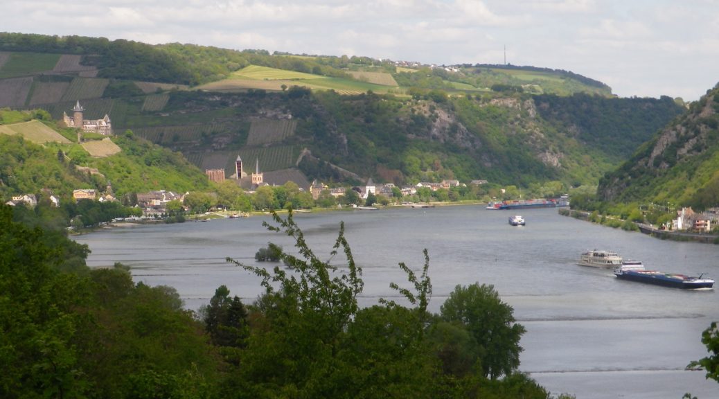
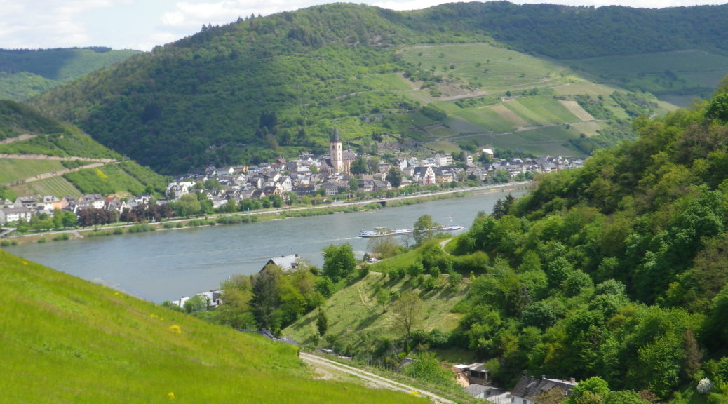
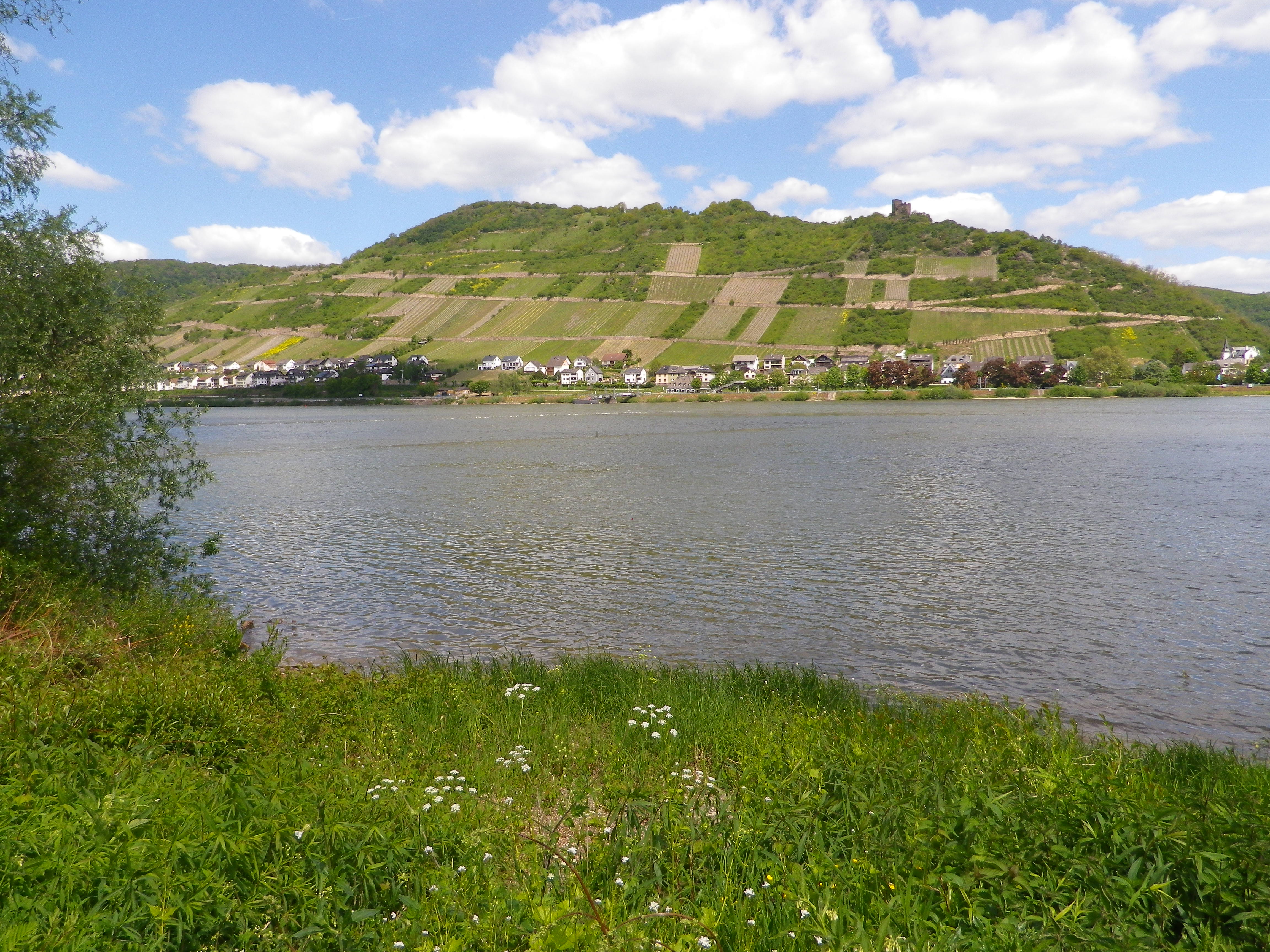
Across the Rhine: Lorch

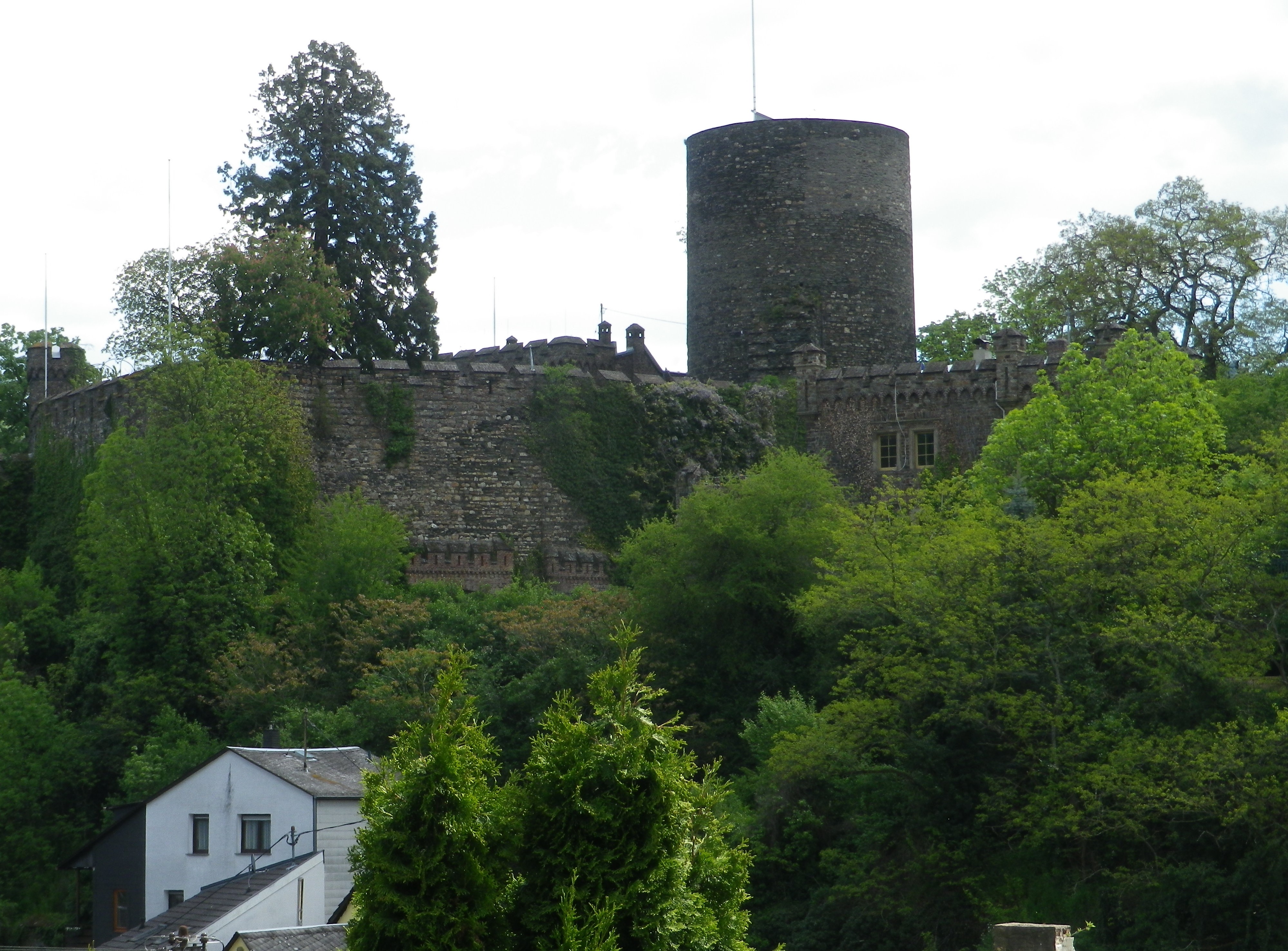
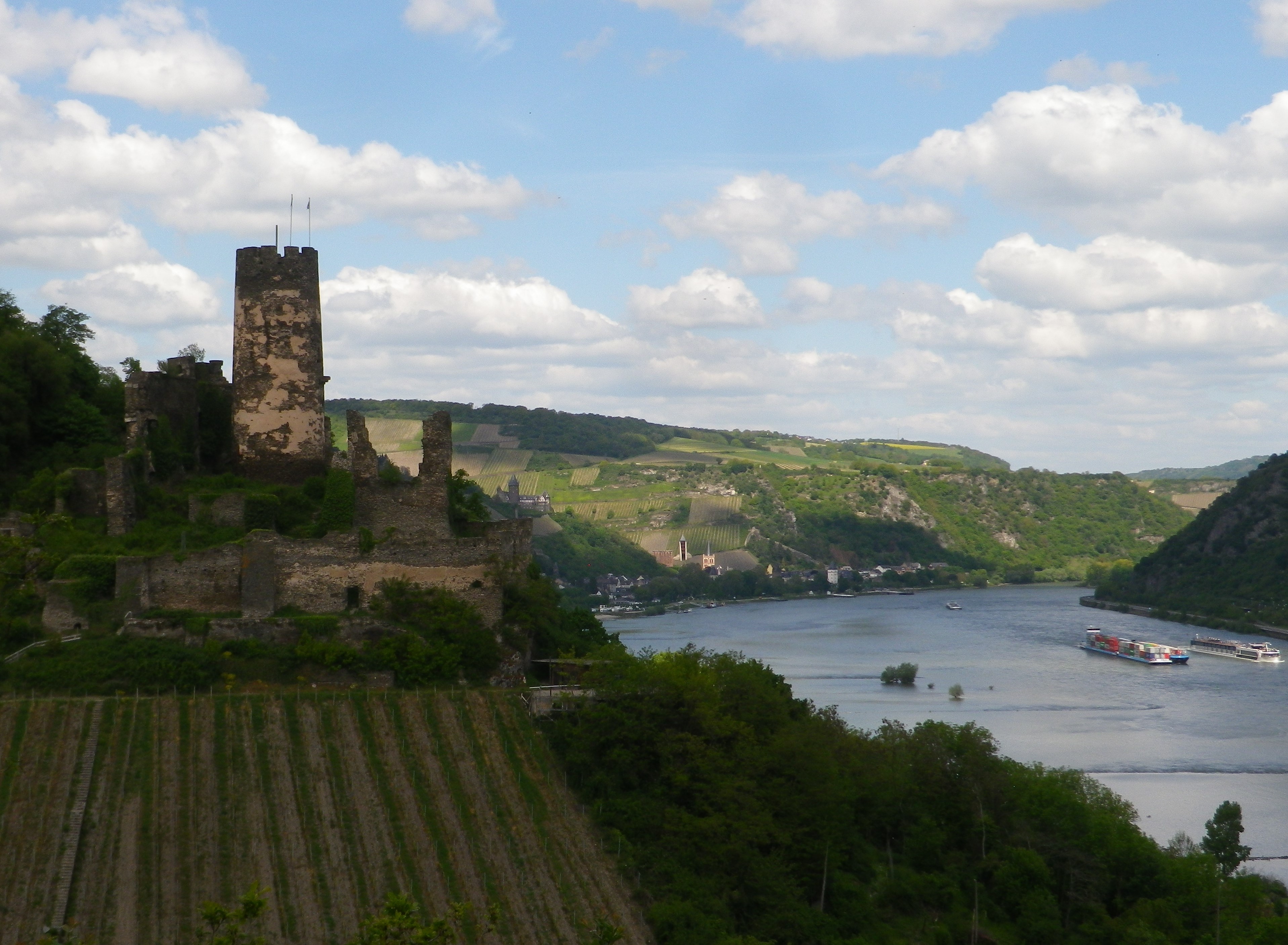
Burg Hohneck Above the Roofs


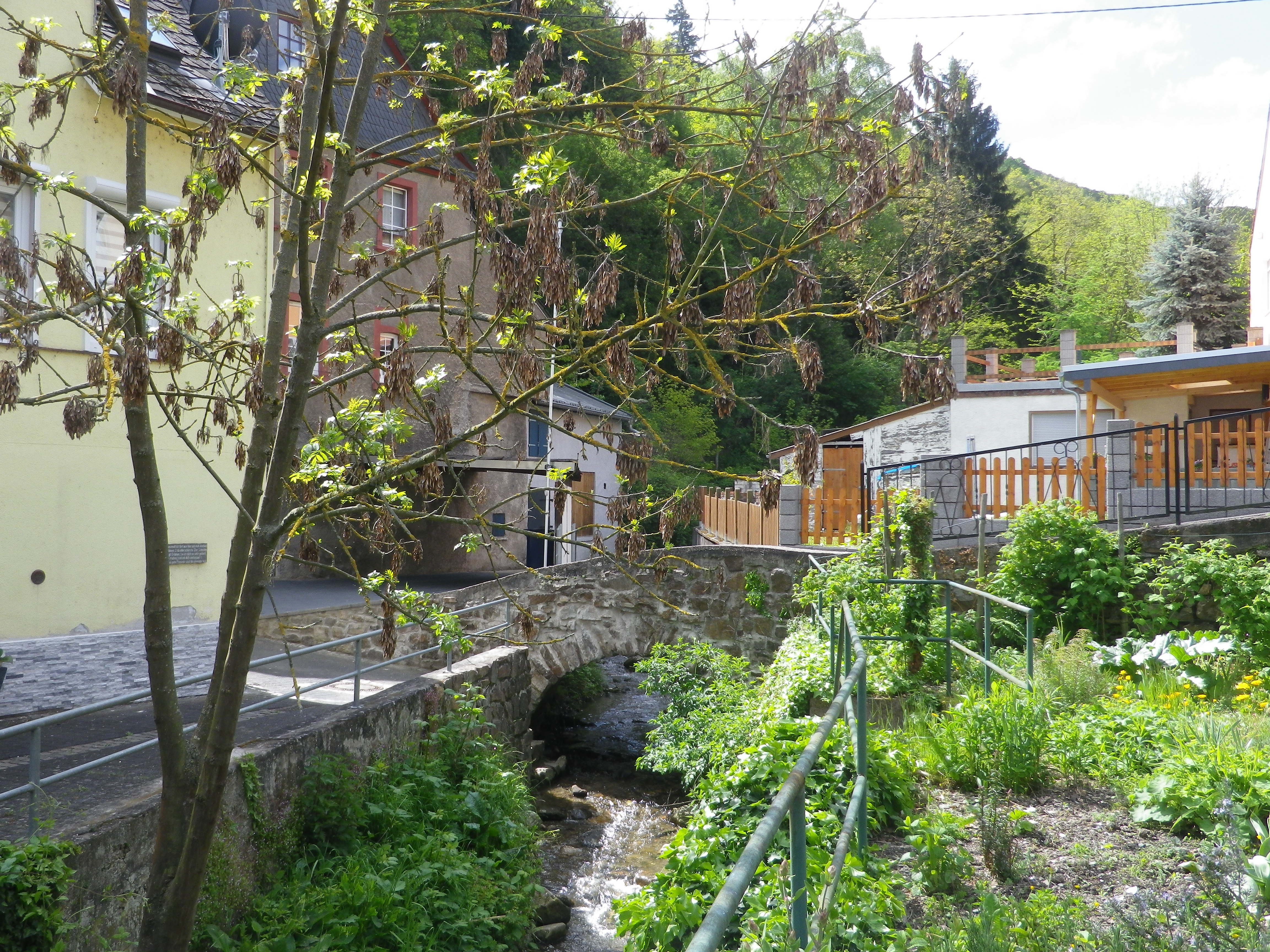
Above Niederheimbach
The name of the trail, the Fuerstenbergblick, in this instance, is a subtle reference to who owned the vineyards on the hills overlooking the Rhine. Not only did the trail lead through the refined vineyards of the Middle Rhine, but it also included views of several castles that the Fuersten, or princes, owned on this lucrative section of the Rhine.
This hike had a lot going for it, beginning with its location. It is about in the center of the UNESCO world-heritage site. Bacharach, and its famous wines, lie just to the north of Niederheimbach, and the well-known wine village of Lorch, with its highly acclaimed wines, faces it from across the river. (It is connected to it by a convenient ferry, making travel between the left and right banks quite convenient.)
I began in town, and headed inland, up a narrow valley. Soon afterwards, the trail did a 180 degree turn, and I was facing the river, and the delightfully intimate (in size) Hohneck Castle, perched on a riverside promontory on the other side of the little valley.
Heading toward the river, but this time on the heights above the little village, I had plenty of opportunity to study the vineyards of Lorch, across the river. I had hiked these vineyards on the magnificent long distance trail, the Riesling Pfad. (See the Nutshell here.) This time, I could see where I had been, and pat myself on the back for the multiple ascents and descents, some rather steep, I made back then.
This trail, while neither as long (it is quite short in fact), nor as technically varying or challenging, was a pleasant hike for an afternoon in a quiet, beautiful section of the Middle Rhine. As it continued fairly high above the Rhine, it was easy to enjoy the expansive views while walking along a mostly flat plateau. Views extended downriver to Bacharach, over to Burg Nollig above Lorch, and up river. Photographers and castle-lovers are truly spoiled for choice here!
The short descent into and across the Gailsbach valley, was followed by a quick ascent up to the ruined Fuerstenberg Castle. Another castle ruin overlooking the Rhine. You would think I would get tired of them. Crooked ivy-covered walls, where small lizards hide when frightened from their sunny perches, dilapidated masonry, and door lintels to nowhere, pretty much sums up many a ruin. But I never miss an opportunity to explore them.
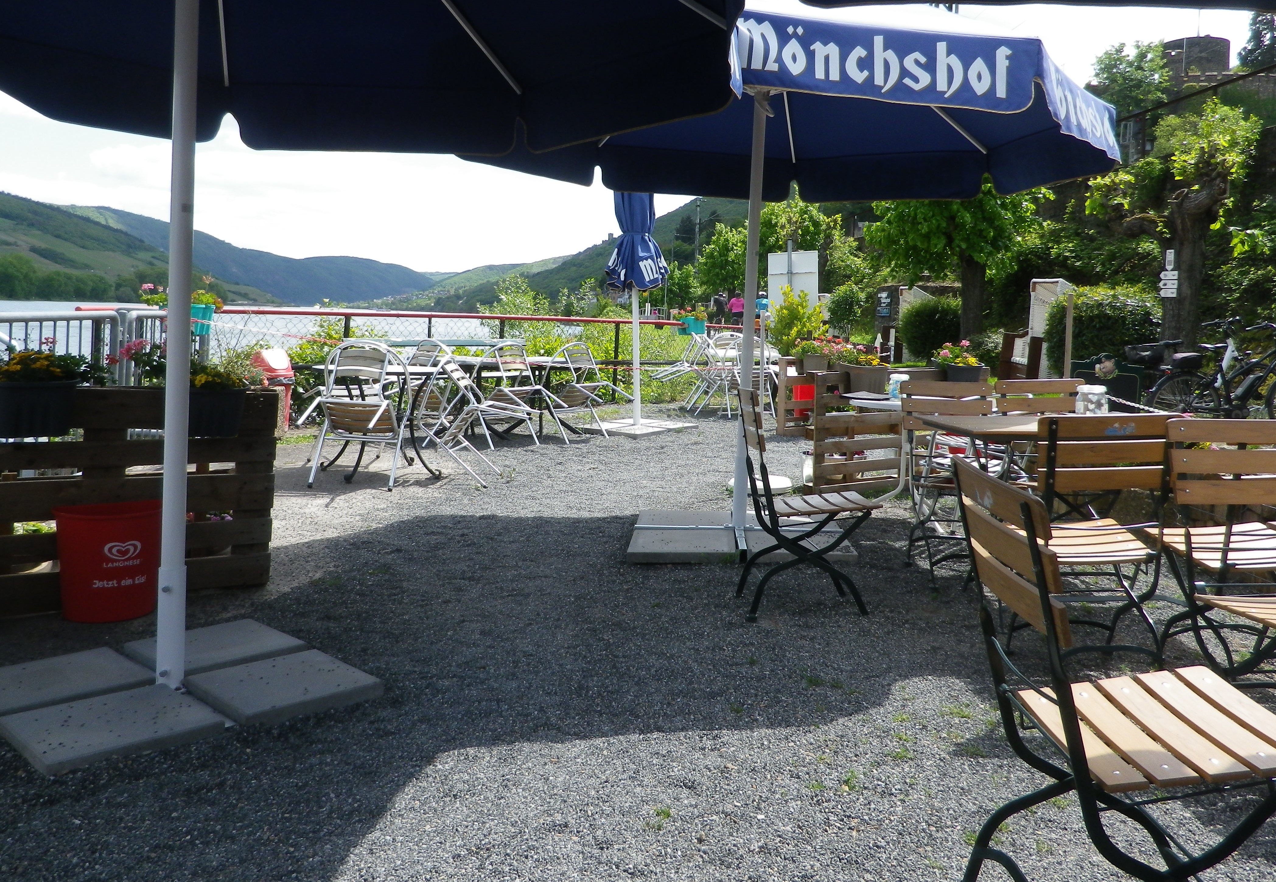
The trail soon turned south to return to Niederheimbach, to complete the circuit. At this point, there is the opportunity to walk along the edge of the Rhine. The trail, which also serves as a bike trail here (so be mindful), was a quiet, flat, nicely tarmacked section, well away from the road. Walking to the sound of lapping water, I soon came to a waterside café-bar, just before the village of Niederheimbach. Miracle of miracles, it was actually open on this non-season afternoon. I stopped, naturally. As I sipped a glass of local wine, and enjoyed the water views, I realized there is no better way to enjoy the Rhine and its wines than hiking along it!
What I Learned
The Mittelrhein (Middle Rhine) is famous for its castle ruins, towering cliffs, and dramatic oxbow bends along the river through this section of it. The Upper Middle Rhine is now a UNESCO World Heritage site. It begins in Koblenz, and continues to Bingen.
This also defines the wine region known as the Mittelrhein. Unlike other wine regions on the Rhine, this region covers both banks of the river (beginning north of Lorchhausen, which joins the Rheingau region). Many areas of the Upper Middle Rhine do not produce wine: the topography and geology just aren’t suitable or practicable, even for growing other crops. That just makes the vineyards along this section of the Rhine even more esteemed.
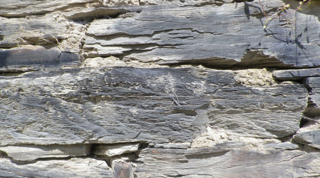
On the left bank, dark slate begins to predominate in the soil around Boppard, and continues upriver until just outside Trechtingshausen. This hard rock shapes the river as well, and its many twists and turns provide optimal sun exposure for some slopes, like the famous vineyard of Bopparder Hamm, while depriving others of much sun at all just around the next bend.
Because of the different geological conditions, the Mittelrhein region is divided into different “Grosslage,” or growing areas, each containing some specifically named vineyards. This hike covered the area around mostly Oberheimbach, which falls with the Grosslage of Schloss Reichenstein, the name of a brooding castle ruin located about three miles upriver in Trechtingshausen. Well-known Nieder/Ober -heimbach vineyards include Niederheimbacher Froher Weingarten, Oberheimbacher Sonne, Oberheimbacher Klosterberg, and my personal favorite: the Oberheimbacher Wahrheit (it means “Truth”), which says all you need to know about the true expression of the terroir in the wines from here.
What I Tasted
2017 Riesling Weinberg Schloesschen, Spaetlese, Trocken, Deutscher Qualitaetswein, Weingut Juergen Stassen (Oberheimbach): A dry white wine with medium gold color, a mineral and slightly fruity nose, with green gooseberry and mineral flavors; medium plus acidity with a tart finish.
2015 Riesling, Classic, Trocken, Deutscher Qualitaetswein, Weingut Eisenbach-Korn (Oberheimbach): A dry white wine with medium plus gold color, a spicy, nose with hints of turpentine and lipstick; with spicy and fruity flavors, medium acidity with a smooth, but tart finish; very well balanced overall.
2013 Weisser Riesling, Niederheimbacher Froher Weingarten, Qualitaetswein, trocken, Fendel: A dry white wine with a medium gold color: a well-balanced, slightly floral and fruity tasting wine with a pleasant minerality to it.
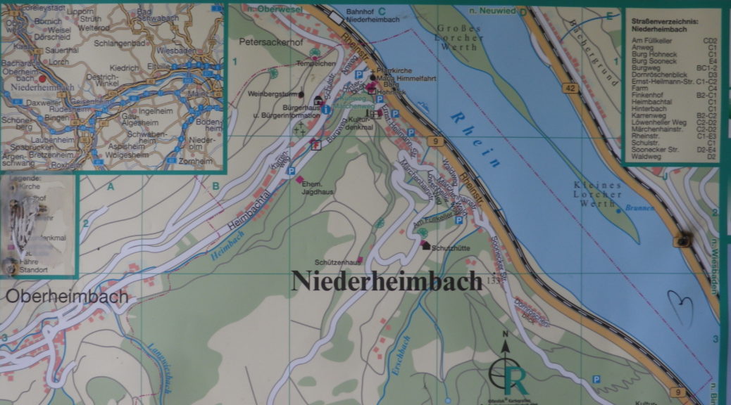
Trail Name: Nr 22 – Fuerstenbergblick
Trail Type: Short distance circuit trail; well-maintained and mostly paved or hard-packed earthen trail, marking on the trail is mostly good, but not always exclusively specific to this trail as other trails follow along it as well.
Length:
Total – 7 kilometers/4.3 miles
Convenient to: Bingen, or Koblenz, Germany
Marking: Nr 22, or follow signs to next itinerary point
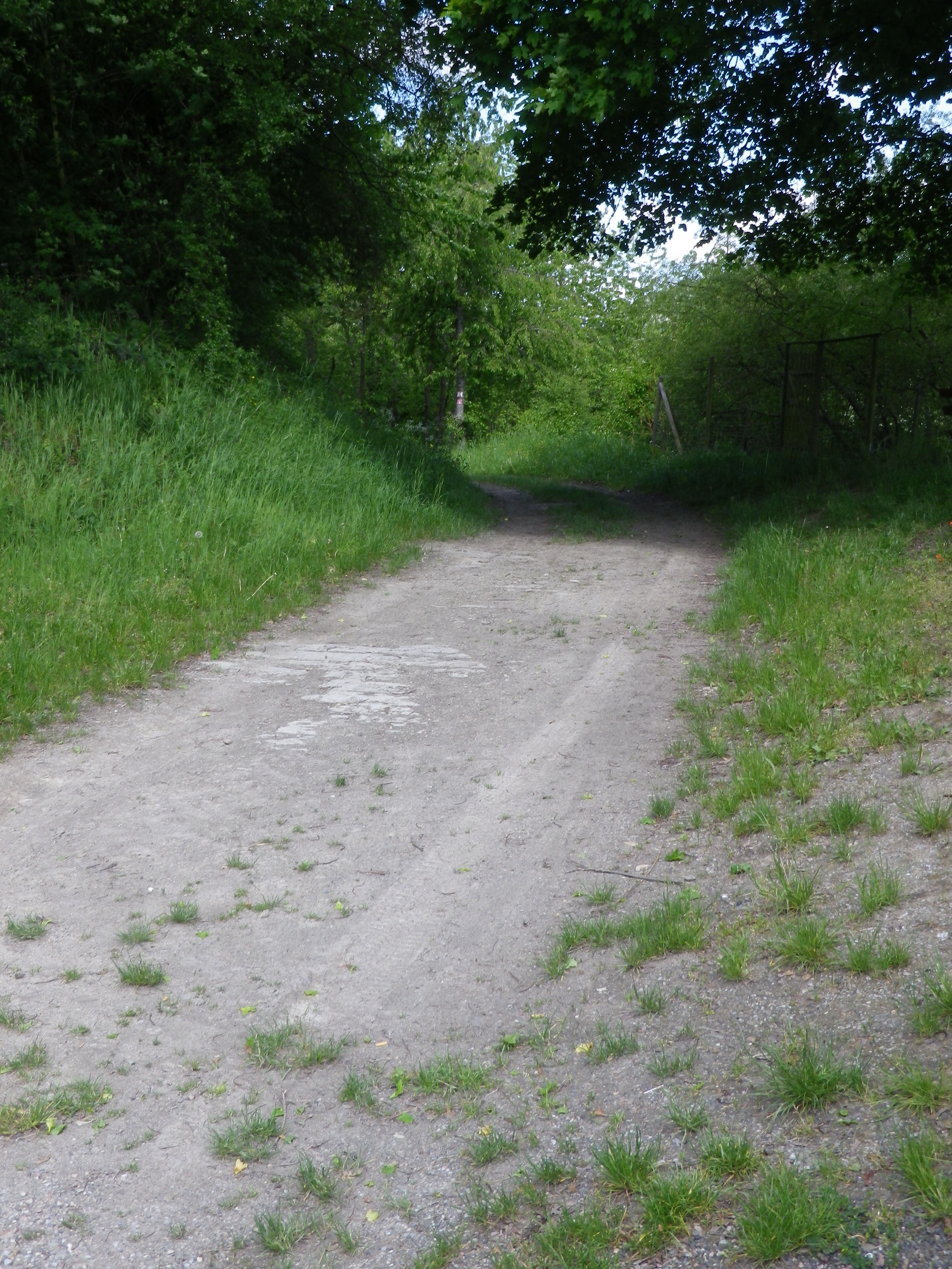
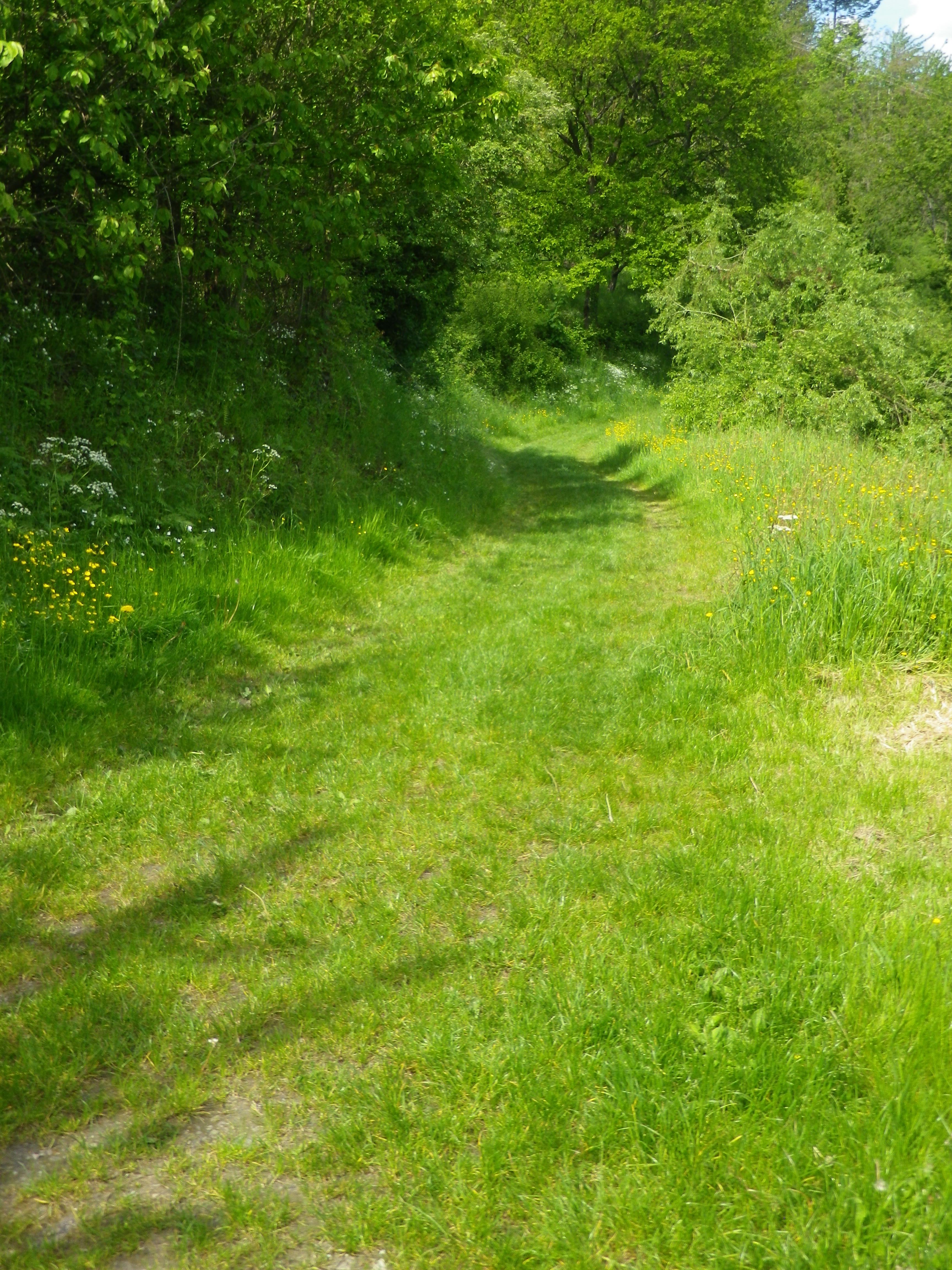
Trail Description: This is an easy trail through a little visited area of the famous Middle Rhine. It passes through a couple of wooded areas, but mostly vineyards, with clear views of the vineyards and castles on the opposite (and more visited) side of the Rhine, and a lovely riverside walk to close the circuit.
Trailhead:
Niederheimbach, Rheinstrasse riverside walking path
Parking:
Niederheimbach: A few street-side places where parking is not prohibited along the Rheinstrasse or Heimbachtal streets
Public Transportation Options:
Rail: Very frequent train service (DeutscheBahn (DB) regional train RB26) connects Niederheimbach with Mainz to the south, or Cologne to the north with stops all along the Mittel Rhein including Bingen, Boppard, St Goar, Koblenz, amongst others.
Bus: See the Rhein-Naehe Nahverkehrsverbund (RNN) website for details of bus travel through this area
Suggested Stages: Not applicable
Trail Itinerary-Reference Points: (Clockwise)
Niederheimbach: Heimbachtal, then turn up to Rheinblick, vineyards, lookout point “Tempelchen”, woods, Rheindiebach: Cross Rheingoldstrasse/K27, vineyards, to and past Burg Fuerstenberg ruins, pass above the cemetery, Rheingoldstr, Mainzerstr, pass under B9 and train tracks, continue on the waterside path back to Niederheimbach
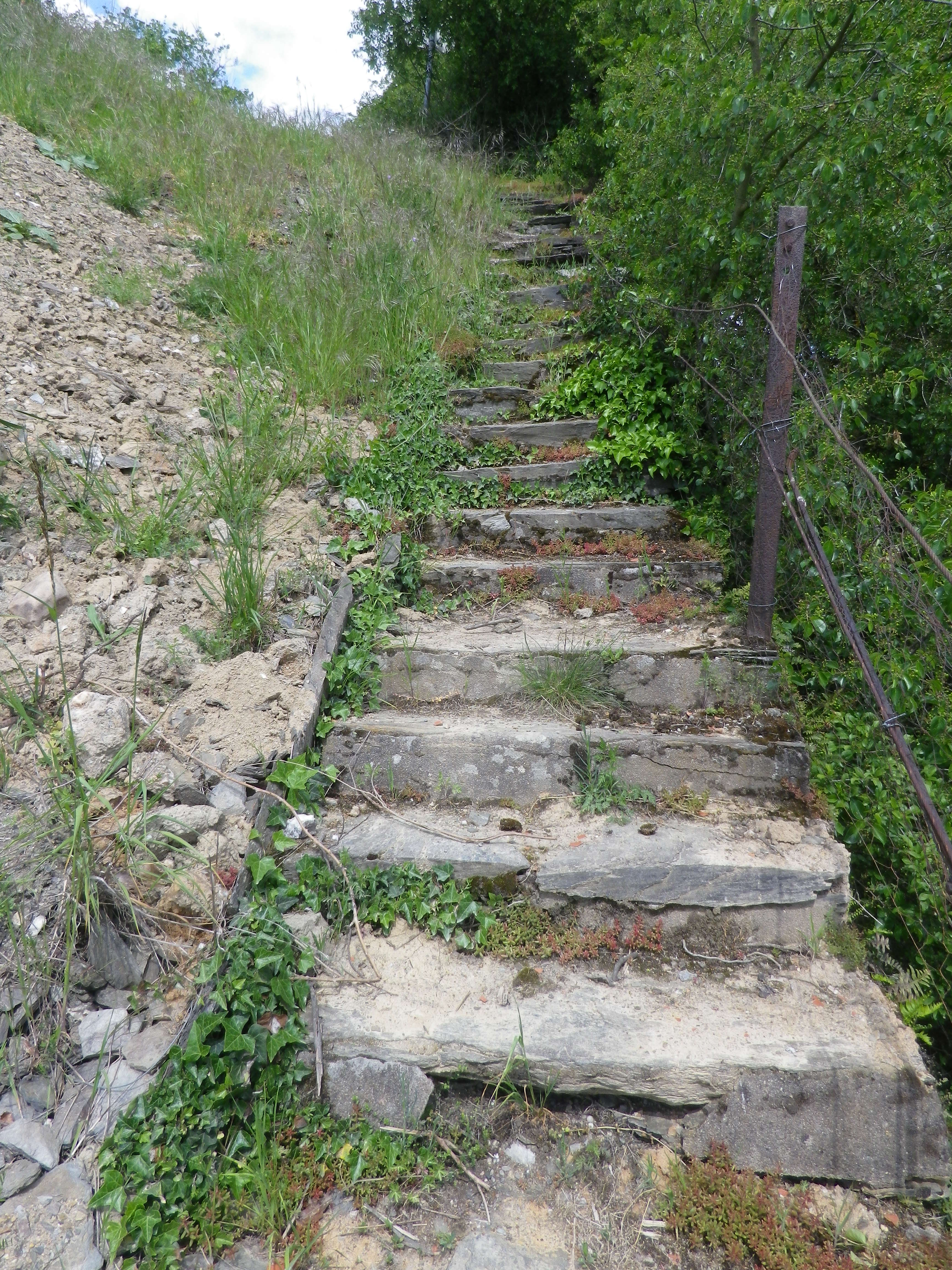
Representative Trail Photos:
Restrooms:
Rheindiebach: along the river, just north of the pedestrian underpass
Attractions on or near Trail:
Just lots of iconic Rhine River scenery!
Tasting along the Trail:
Niederheimbach and Oberheimbach both have guesthouses and restaurants that serve local wines. Niederheimbach even has one right along the river!
Alternative Options:
Hiking: Reblausweg (Nr 13) / Route 1 Panoramaweg, an 8 kilometer circuit trail beginning/ending at Niederheimbach. See the Nutshell here.
Biking: Rheinradweg, is a multi-day tour following the Rhine, but an easy day trip, with lots of stops for photos, is from Koblenz to Bingen am Rhein, or vice versus. It passes through Niederheimbach, which is one of the trains stops along the river route. See the Nutshell here.
Additional Information:
Regional: https://www.romantischer-rhein.de/ and https://niederheimbach.welterbe-mittelrheintal.de/
Trail specific: https://www.outdooractive.com/de/route/wanderung/romantischer-rhein/nhb-nr.-22-fuerstenbergblick-rundwanderweg/116090787/ or https://www.niederheimbach.info/media/files/nhb-wanderweg_022_k-2022-07.pdf
Comments:
Short, easy, but lovely.