Stuttgart is a huge metropolis, connected by an extensive rail system. Using Stuttgart’s subway/urban rail system trains, the “S-Bahn” in German, I hiked along the southern end of the 470 kilometer-long (292 miles) wine hiking trail known as the Wuerttembergischer Weinwanderweg. The W4, I as refer to it below for expeditious reasons, wends its way through the quiet, green belt surrounding the Stuttgart region, encompassing its vineyards in the Neckar and Rems Valleys.
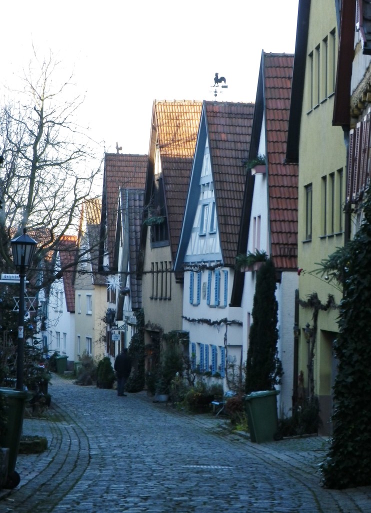
Stuttgart’s public transportation system is extremely efficient, and unbelievably inexpensive with a tourist pass. To prove the point, over two weekends there I decided to hike the southern-most sections of the W4, using my three-day, all-network passes. Leaving from downtown Stuttgart, I headed to the town of Marbach on the the S-4 line. Famous as the home of the great German author Schiller, Marbach is the site of the northern-most conjunction of Stuttgart’s S-Bahn system and the W4. About 30 minutes later, I was on the trail, passing through the charming old town, high above the Neckar River.
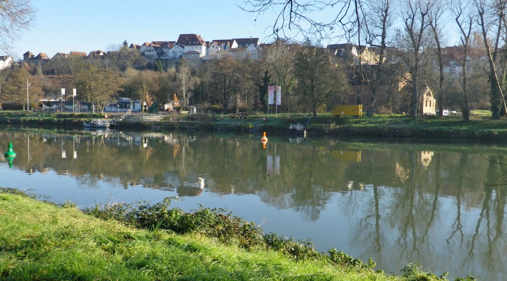
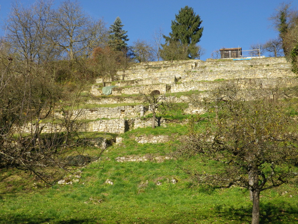
Crossing the Neckar river, the trail then headed upriver along an idyllic path. Quiet and bucolic, it meandered along the edge of the river for a couple of blissful kilometers. Vineyards lined the trail, rising sharply from the Neckar. The December morning sun lit up the vines, and a shimmering light reflected off the water. The stones were suffused with an ethereal golden aura.
Soon in the outskirts of Ludwigsburg, a great city to visit for its magnificent palace and splendid main square lined by baroque-era buildings, the trail crossed the Neckar again. Through the vineyards outside Neckarweihingen, it ultimately led to Poppenweiler. This time it headed across open country, over hill and into dale to Affalterbach. A final climb up the wooded hill before Affalterbach, brought its own reward: a magnificent view back toward Ludwigsburg and the Neckar Valley below. Thus ended the first day on the trail. At Affalterbach, I needed to take a bus to Ludwigsburg, then get on the S-5 to downtown Stuttgart.
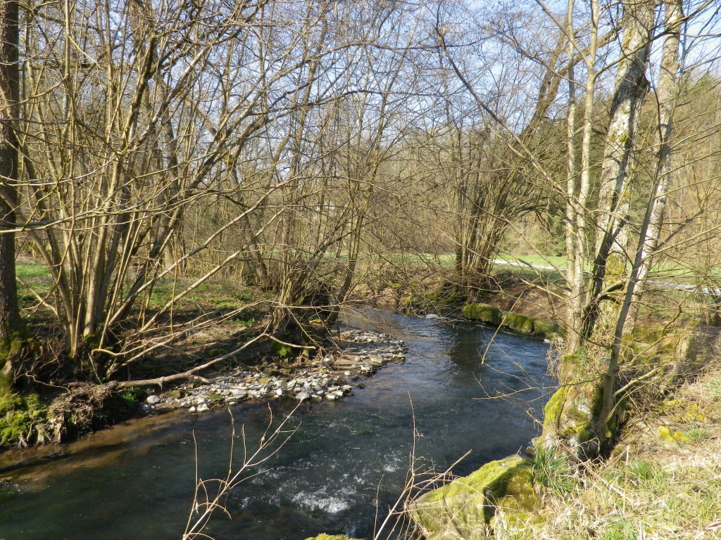
Returning to Affalterbach the next day, I headed for the small city of Winnenden, on the S-3 route. The trail was a delight to follow through a park following the torturous flow of the small Buchenbach. The park presented a pastoral scene, worthy of a park in the midst of a national forest. Hard to believe the city of Winnenden, a significant suburb of Stuttgart, was only a few kilometers away.
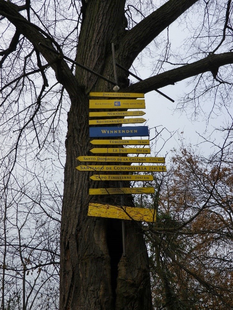
“A journey of a thousand miles begins with a single step”. So I was reminded as this leg of the W4 began, by the tree outside the palace church (Schlosskirche St Jacobus) in Winnenden that displayed the distances to the towns along the route of Santiago de Campostela. Known as the Way of Saint James, this medieval trail ultimately led to a popular pilgrimage site in northern Spain, 2345 kilometers from that tree. My journey that day, while not nearly as long, followed the pilgrimage trail in part, as it climbed out of Winnenden, and crested the forested ridgeline dividing the two wine districts: Wuerttembergische Unterland and the Remstal-Stuttgart districts.
Atop the ridge overlooking the Rems valley, the view was magnificent. The Rems River Valley is especially famous locally for its wine. From the ridgeline into Remshalden, large expanses of vineyards extend downhill. The small towns on the banks of the Rems seems a world away from Stuttgart, but they are connected to the heart of the city by S-2 (Grunbach stop). Thus I completed the first part of my itinerary.
One thought on “Training to Hike”
Comments are closed.