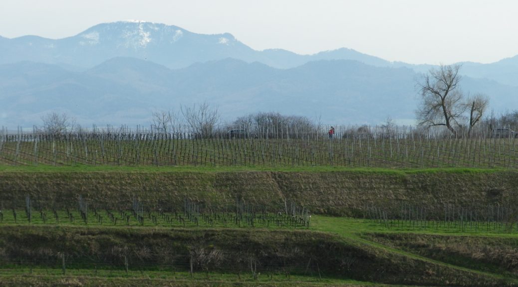
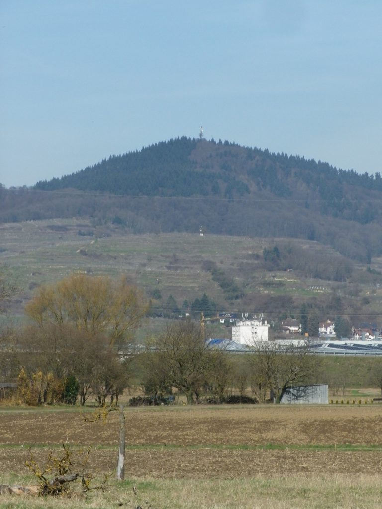
The smallest of all Baden wine districts lies within the largest, the Kaiserstuhl. The Tuniberg is an enormous bank of limestone, geologically quite distinct from the surrounding volcanic Kaiserstuhl. It is an elevated area, separated from the Kaiserstuhl by a broad valley, and it is further away from the Rhine.
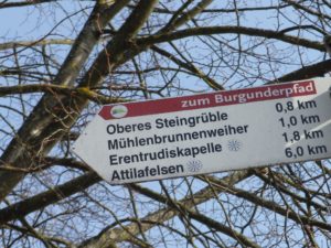
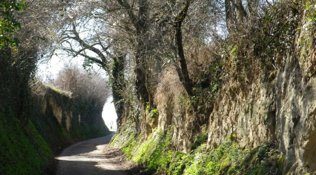
When I think back on all the wine-themed hiking paths I have done, the Burgundy Path in southern Germany will always be one of my favorites. What is not to like about this trail through peaceful agricultural land, and laid-back villages, in Germany’s warmest, sunniest and driest area!
The Tuniberg is by the Kaiserstuhl, a unique geographical outcropping formed by volcanos. However, the Tuniberg, on the southern edge, is a giant bank of limestone, which extends roughly north-south for over a dozen miles. Its sometimes steep slopes stand higher than the Rhine River valley lands around it. This affords great sun and wind exposure, which combined with a goodly amount of sun for an area this far north, and limestone soils, makes it the “Burgundy Oasis” in Baden.
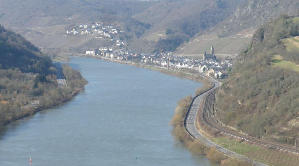
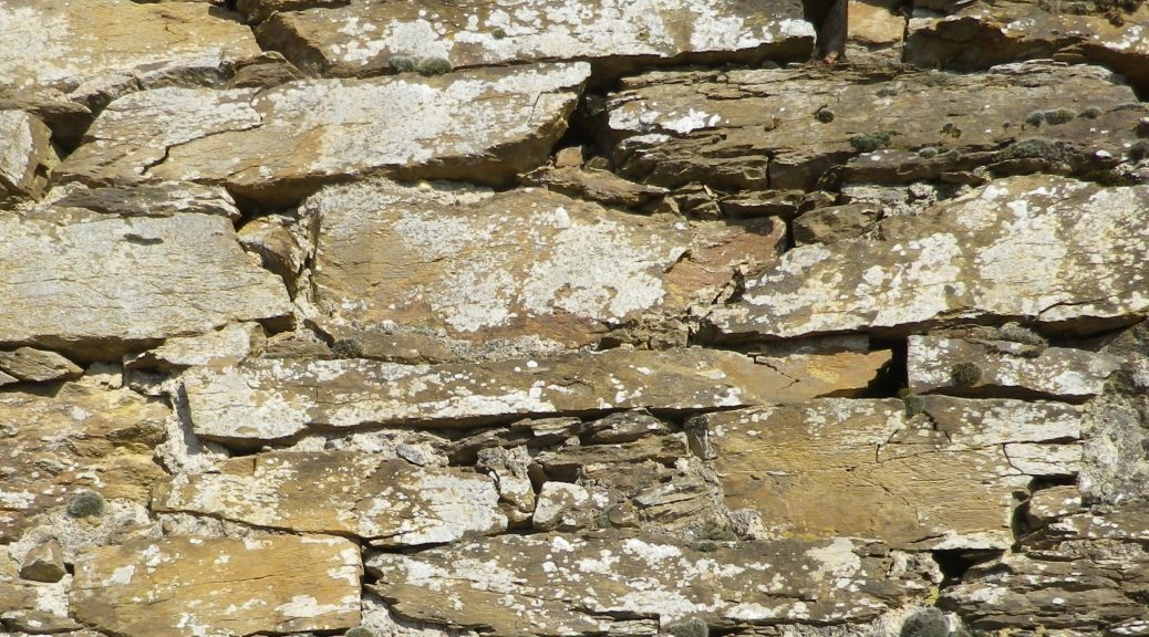
The Weinwetterweg circuit, if nothing else, promotes a new appreciation for viticultural workers on the Moselle. The “Terraced Moselle” is the name of wine district where the lower length of the Moselle starts, and serious terraces begin. This end of the Moselle twists and turns through the slate cliffs and outcroppings that line its sides. As it approaches the junction with the Rhine at Coblenz, the seemingly impossible-to-sustain vineyards appear between narrow river frontage, and high rocky promontories. This is the most spectacular part of the Moselle, and is well worth both a visit and a hike.
Germany’s important (and oldest) wine-producing Moselle River region has three wine districts along it – the Upper, Middle and Lower – beginning at the French-Luxembourg border, and continuing to Koblenz downriver. This post focuses on the Lower Moselle (Untermosel), also known as the Terraced Moselle (Terrassenmosel).
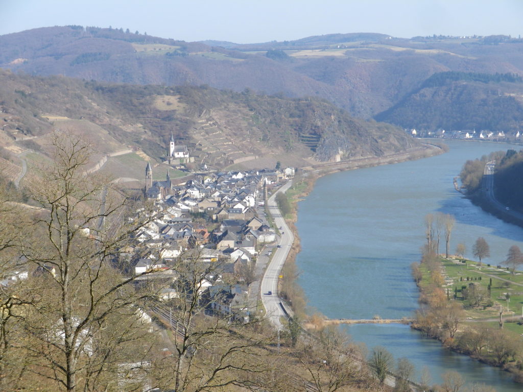
This district, north of Zell (with the famous black cat emblem), past Cochem and its imposing Reichsburg Castle, to the river junction at Koblenz with the Rhine, boasts some of the steepest vineyards in the world. It is home to the Calmont in Bremm, which has almost a 65-degree incline! Hence the need for the narrow terraces which dominate the landscape in the vine-bearing cliffs and steep hillsides of this district. In the village of Hatzenport, three named vineyard areas, the Kirchberg, the Stolzenberg and the Burg Bischofstein, are among some of the steepest vineyards in the district.