Trail Name: Burgunderpfad
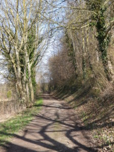
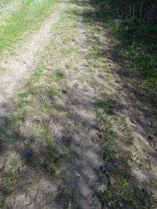
Trail Type: Long distance hiking trail; varied surfaces from grass to hardpacked dirt, to asphalt; well maintained, and mostly well-marked.
Length:
Total: 27.5 kilometers/ 17 miles
Segment (mine): Gottenheim to Munzingen: 17.5
Convenient to: Freiburg, Germany
Marking: Purple grapes with light green terraces in profile, in a white circle, on a red stripe
Trail Description:
A delightfully peaceful hiking trail along the Tuniberg, mostly through countryside, avoiding the villages. Definitely has its ups and downs, but they are quite manageable.
Trailheads:
Hugstetten: at rail station, Am Bahnhof
Gottenheim: at rail station, Bahnhofstr x Hauptstr
Niederrimsingen: Munzingerweg
Parking:
Hugstetten: Am Bahnhof
Gottenheim: at rail station, Bahnhofstr (but check for hours)
Niederrimsingen: ASV, Munzingerweg
Munzingen: by the Sportsfields, off St-Erentrudis-Strasse (by the southern town limits)
Public Transportation Options:
Bus: Service from the Regio Verkehrsverbund Freiburg (RVF), the Tuniberg Express, and Sudenbahnbus
Rail: Breisgau S-Bahn, Freiburger AG
Suggested Stages:
Hugstetten – Gottenheim (circa 10 kilometers)
Gottenheim – Munzingen (circa 17 kilometers)
Trail Itinerary-Reference Points: (North to South)
Hugstetten: Koenigsbergerstr-L116, fields and woods; March: along stream, woods and fields
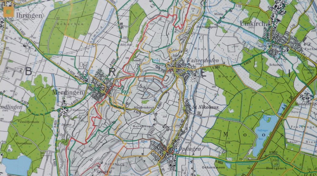
Gottenheim : Bahnhofstr-Hauptstr-Hogengasse-fields, Im Weingarten; fields, forest; Merdingen: Abtshof-Hochstr-Hinterhofen; fields and vineyards’ Above Ziegelei and Niederrimsingen; Niederrimsingen: Vineyards, Leienweg, Munzingerweg., Vineyards along the side of ridge, Erentrudiskapelle: Munzingen: Sportsfields, St-Erentrudis-Strasse
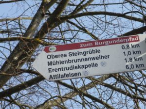
Representative Trail Photos:
Restrooms:
Hugstetten: Am Bahnhof (by the tracks)
Attractions on or near Trail:
Just lots of scenery!
Tasting along the Trail:
The three towns on (or closest) to the trail Gottenheim, Merdingen, and Munzingen, as well as Niederrinsingen, have wine cooperatives. Additionally, there are several independent vintners in these towns.
Alternative Options:
Biking: The Tuniberg Tour, is a 34 kilometer trail through this area.
Additional Information:
Regional: https://www.naturgarten-kaiserstuhl.de/de-de
Trail (segment) specific: https://www.tourismus-bw.de/Media/Touren/Burgunderpfad
Comments:
The segment from Hugstetten to Gottenheim adds a bit over 9 kilometers, making the total trail about 27.5 kilometers. I did not hike this segment. But I included the itinerary for convenience’s sake.
Hugstetten also has light rail service from Freiburg, and is the stop before Gottenheim, coming from Freiburg.
Between Gottenheim and Merdingen (about mid-way to the end), there is nothing in the way of tourism facilities (restaurants, cafes, stores, public restrooms.) From Merdingen to the end point in Munzingen, there is likewise nothing (unless you divert into Niederrimsingen).