Tag Archives: hiking German wine trails

A Great Hike in Bad Koesen


My second trip to the Saale-Unstrut wine region, following my disastrous first trip (see here), occurred in the middle of January. My destination this time was the Weinbergsweg circuit trail. This hike proved a great, easy, family-friendly, circuit trail through vineyards, town and wooded areas, following along the Saale River as it circles through and around Bad Koesen in Saxony-Anhalt, Germany.

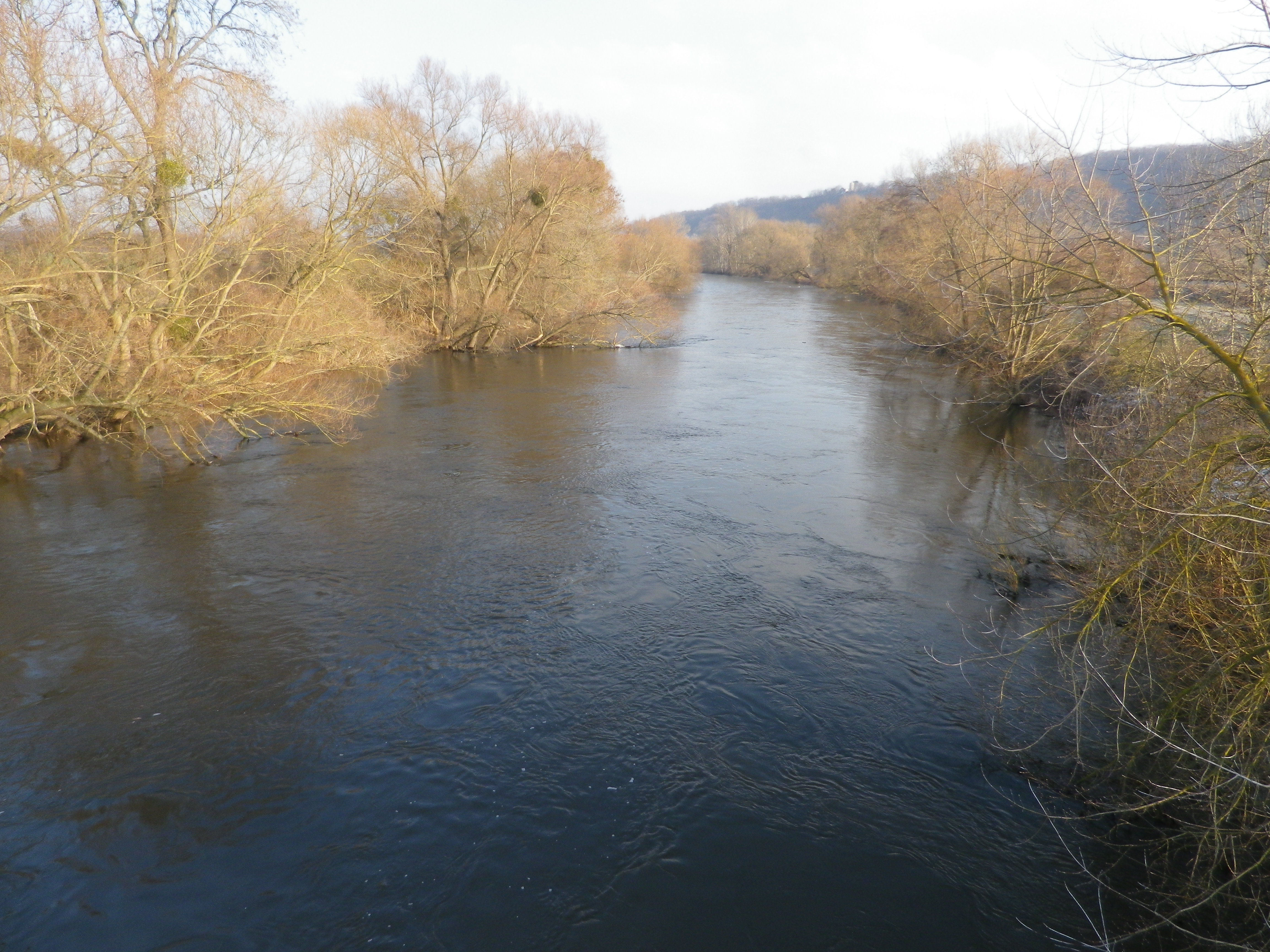
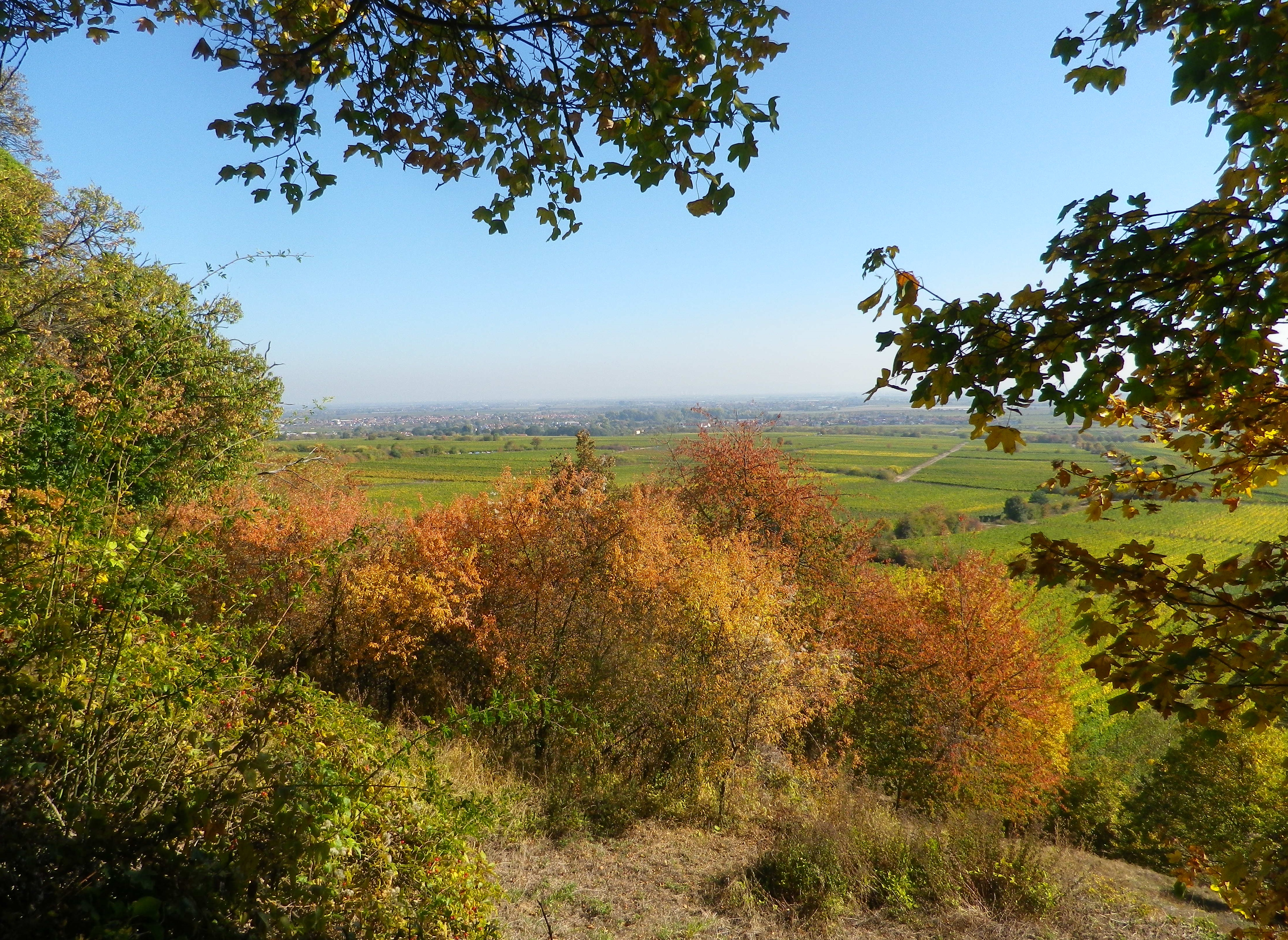
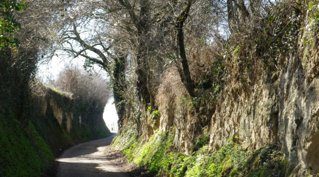
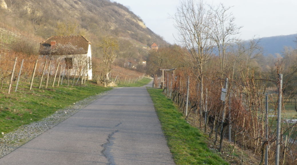
I began my hike by following the river. It was a lazy, but very scenic stretch along the Saale. This section also had several pubs and taverns, with outdoor seating overlooking the river. Ideal for a lovely summer afternoon or evening, but usually not available in winter. Vineyards were on the left, and flat, alluvial fields on the right.

Saale River

Continue reading A Great Hike in Bad Koesen

Wuerzlaysteig: Trail in a Nutshell


Trail Name: Wuerzlaysteig (See Comments below)

Trail Type: Middle distance; well-maintained but with very diverse surfaces along the trail; marking on the trail is good, albeit not necessarily for just one specific trail. (See Comments below)

Length:

Total – 13 kilometers/8 miles

Convenient to: Koblenz, Germany

Marking: (See Comments below as well)

Signs on the Trail

Continue reading Wuerzlaysteig: Trail in a Nutshell

Climbing for Wine


The climbs were steep, but the views were very rewarding. With more time, I would have done more climbs. In fact, in my castle hiking days, I had already hiked to several highpoints and castles on this trail: the Neuleiningen, the Wachtenburg, Hambacher Schloss, the Kalmit lookout, and that is just in the Mittelhaardt district. But at 185 kilometers, I didn’t have enough vacation days left! So perhaps on some other trip to Germany, I will be able to complete the Pfaelzer Weinsteig Trail.

For hikers looking for an intimate experience of the Pfalz wine region, this trail covers much of the region, as does the Wanderweg (Hiking Trail) Deutsche Weinstrasse (see the Nutshells here and here). The similarities between the two is that each pass through famous wine towns and villages, where there are countless opportunities to sample the wines and visit wineries. They both also cover a variety of landscapes from urban, to vineyard to forest. The big difference is the level of difficulty. The Wanderweg Deutsche Weinstrasse is rather easy, with only a few steep climbs into woodlands. On the other hand, the Pfaelzer Weinsteig climbs from the villages, often located at the base of the hills, far into the hills of the Pfalzer Wald forest. In that sense, the trail is physically more challenging, and more diverse.

On the Trail: Rhine River Valley

Continue reading Climbing for Wine

Rotweinwanderweg: Trail in a Nutshell


Trail Name: Rotweinwanderweg (Red Wine Hiking Trail)

Trail Type: Long distance; surface footing is all hard, be it on tarmac or hardpacked earth or stair-steps; very well maintained, and extremely well-marked.

Length:

Total: 35.5 kilometers / 22 miles

My segment: Altenahr to Marienthal (@15 kilometers / 9 miles)

Convenient to: Bonn, Germany

Marking: Red grapes on a white background

Rotweinwanderweg Signage

Continue reading Rotweinwanderweg: Trail in a Nutshell

Saxon Wine Trail: Trail in a Nutshell


Trail Name: Saxon Wine Trail (Saechsische Weinwanderweg)

Trail Type: Long distance trail; varied surfaces, but mostly paved or hard parked earth, well maintained, and well-marked.

Length:

Total: 88.5 kilometers/55 miles

Last (my) stage: Meissen to Diesbar-Seusslitz: @18 kilometers

Convenient to: Meissen, or Dresden, Sachsen (Saxony), Germany

Marking: Red grapes within a red-lined circle on a white background

Sign: Sachsische Weinwanderweg


Continue reading Saxon Wine Trail: Trail in a Nutshell

Burgunderpfad: Trail in a Nutshell


Trail Name: Burgunderpfad

Trail Type: Long distance hiking trail; varied surfaces from grass to hardpacked dirt, to asphalt; well maintained, and mostly well-marked.

Length:

Total: 27.5 kilometers/ 17 miles

Segment (mine): Gottenheim to Munzingen: 17.5

Convenient to: Freiburg, Germany

Marking: Purple grapes with light green terraces in profile, in a white circle, on a red stripe

Continue reading Burgunderpfad: Trail in a Nutshell

The Burgundies Path


When I think back on all the wine-themed hiking paths I have done, the Burgundy Path in southern Germany will always be one of my favorites. What is not to like about this trail through peaceful agricultural land, and laid-back villages, in Germany’s warmest, sunniest and driest area!

The Tuniberg is by the Kaiserstuhl, a unique geographical outcropping formed by volcanos. However, the Tuniberg, on the southern edge, is a giant bank of limestone, which extends roughly north-south for over a dozen miles. Its sometimes steep slopes stand higher than the Rhine River valley lands around it. This affords great sun and wind exposure, which combined with a goodly amount of sun for an area this far north, and limestone soils, makes it the “Burgundy Oasis” in Baden.

Kaiserstuhl

Continue reading The Burgundies Path