When I think back on all the wine-themed hiking paths I have done, the Burgundy Path in southern Germany will always be one of my favorites. What is not to like about this trail through peaceful agricultural land, and laid-back villages, in Germany’s warmest, sunniest and driest area!
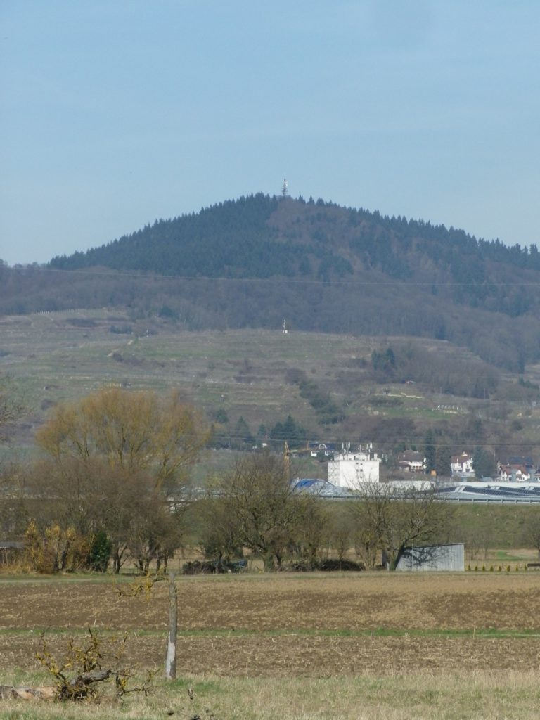
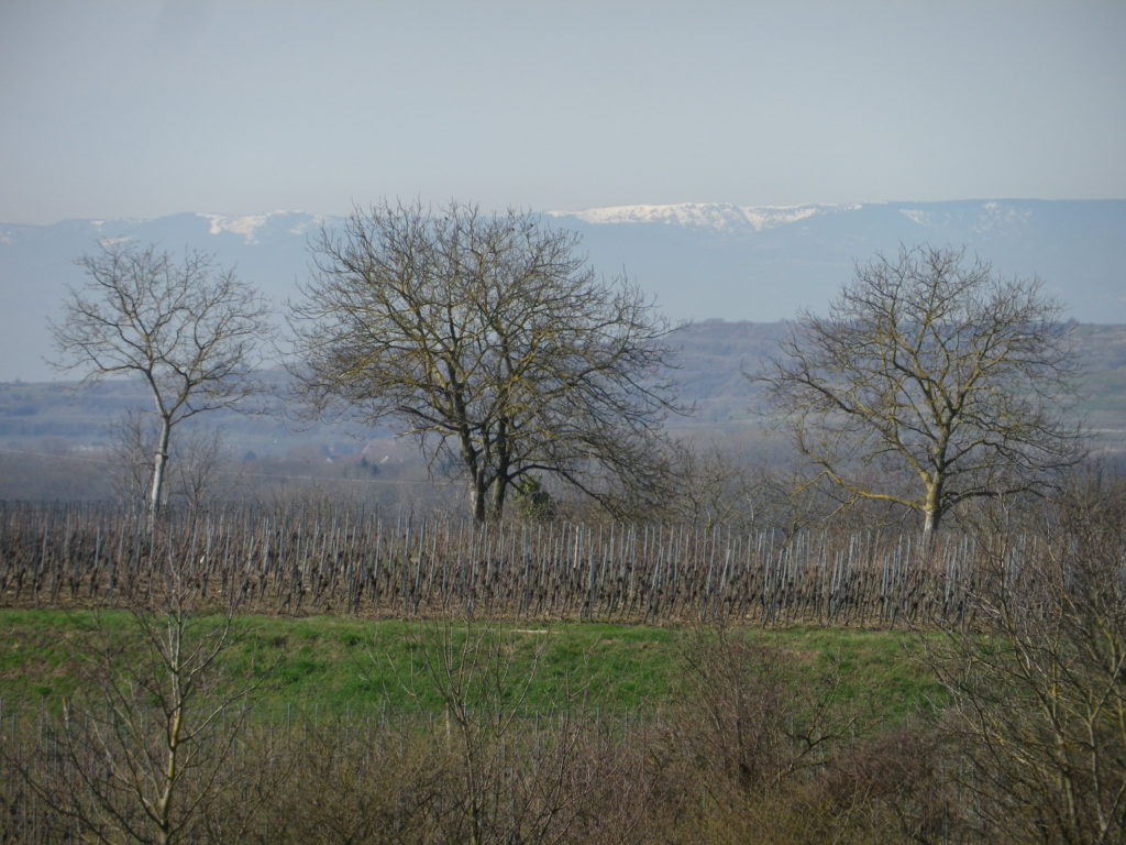
The Tuniberg is by the Kaiserstuhl, a unique geographical outcropping formed by volcanos. However, the Tuniberg, on the southern edge, is a giant bank of limestone, which extends roughly north-south for over a dozen miles. Its sometimes steep slopes stand higher than the Rhine River valley lands around it. This affords great sun and wind exposure, which combined with a goodly amount of sun for an area this far north, and limestone soils, makes it the “Burgundy Oasis” in Baden.
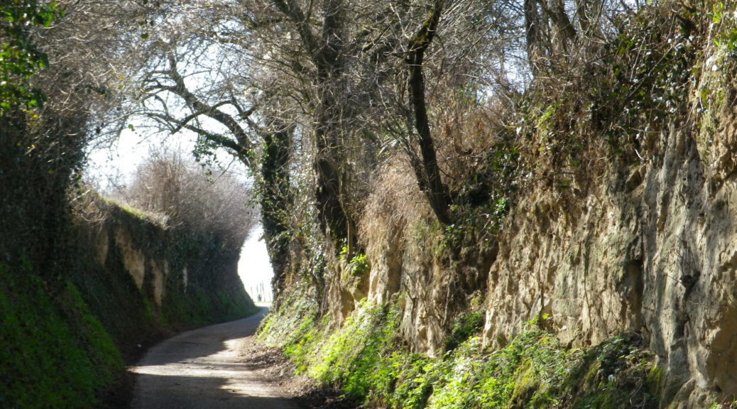
A lucky trifecta of weather, timing and opportunity compelled me to hike this trail, which had been so long on my to-do list that my trail information was slightly outdated. I began in Gottenheim, vice the extension to the north in Hugstetten, and headed south. Both towns are on the light rail system from Freiburg, which makes it convenient to access the trail. However, only buses service the end point in Munzingen. Therefore, unless you have a best friend with a car to support you as I did, plan the logistics in advance. Speaking of logistics, in Gottenheim, be sure to use restrooms, or stock up on food or water, because for the next couple of hours, you will be in seemingly remote countryside, until Merdingen.
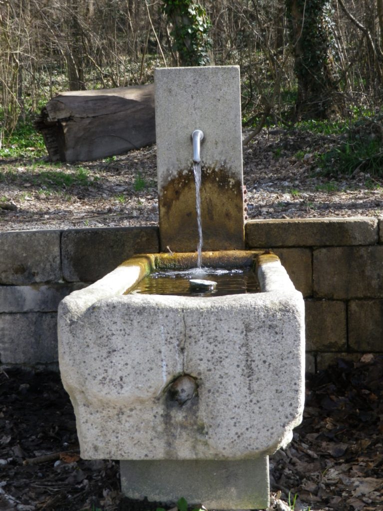
The time passes delightfully in this pastoral setting. Benches, shelters, and occasional picnic tables lined the way. A natural spring (with drinkable water), a Roman-era ruin, and a small chapel add interest to this trail. But most impressive of all were the views, both macro and micro.
On the one hand, breath-taking panoramas would appear when cresting a rise, or around a corner. Being on this large “bank”, alternating between the top of it, and its sides (east, west and south) there are often great views of this particular area of the world where Germany meets France and Switzerland. Snow still capped the Vosges mountains to the west, and the Black Forest mountains to the east. Discrete villages and small towns dotted the hillsides and valley floors as far as the eye could see. Everywhere in the near distance, there were vines.
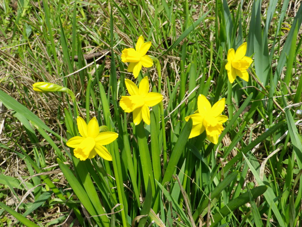
On the other hand, close by flora and fauna abounded, even in early March in this part of Germany. Small wildflowers of different colors and shapes were beginning to open toward the sun. Little geckos basked lazily in the warmth of sun-drenched stone walls. (To my chagrin, I was not quick enough to photograph them though!) Birds flitted between trees.
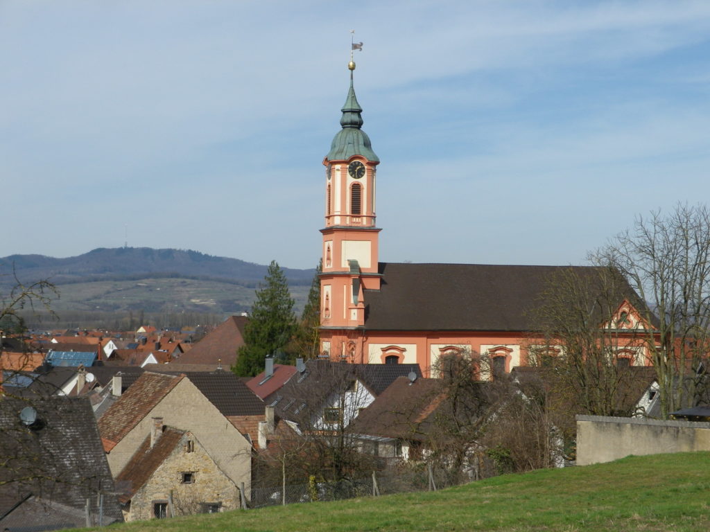
Hiking along, facing south, as do many of the vines, I passed a couple of rustic wine stands in the vineyards. It was too early in the season for them to be open though. But I was heading to Munzingen, where there are some excellent wineries and wine taverns. But first, the trail headed high above Niederrimsingen toward the famous Erentrudiskapelle. Along the way, a great view of Freiburg to the east appeared.
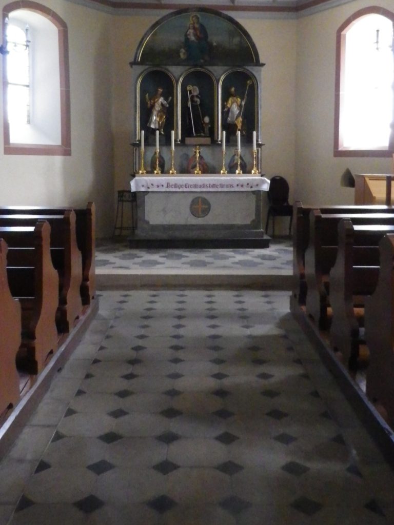
The Erentrudis Chapel is one of the highlights of the trail, literally. From up here, the views south toward Switzerland, and the town of Mulhouse in France are expansive. The chapel itself is a small, simple structure, set on the heights of a hill above Munzingen. From this point, it was literally all downhill to the small town with some of Germany’s best red wines. Of course, Spaetburgunder (Pinot Noir) leads the list, and there is no lack of it here, at the terminus of a great trail!