Trail Name: Hatzenport WeinWetterWeg
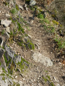
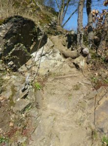
Trail Type: Mid-distance circuit; well-maintained, varied trail surfaces from rock, to scree, to grass and tarmac; excellent signage along the trail.
Length:
Total – 12 kilometers/ 7.5 miles
Convenient to: Coblenz, Cochem, Germany
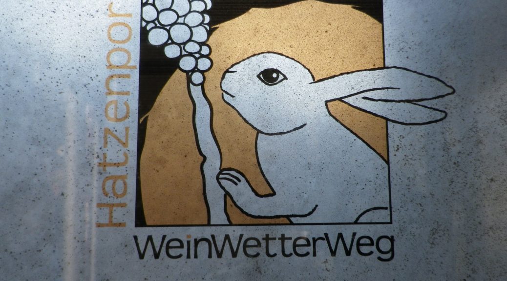
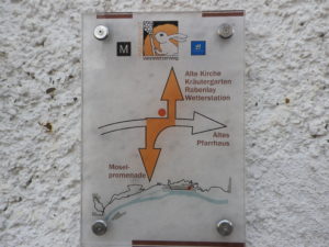
Marking: A white rabbit and grapes, with directional arrow diagrams
Trail Description: A moderately difficult trail due to the climbing up, or over, rock and rock-face in three separate sections, this trail requires sure-footedness, and is definitely not a trail for those with fear of heights, dizziness, or not in reasonable shape. It does offer a lot of scenic as well as trail variety, and spectacular views of the Moselle River, and the Hunsruck, above the opposite shore.
Trailhead:
Hatzenport: Intersection of Mainfeldstr x Bachstr x Schrumpftal, (by the Railway Station)
Parking: (Hatzenport only)
Moselstrasse, by the Faehrturm, dozens of spaces in front of the line of buildings
Mainfeldstr x Bachstr Intersection, by the station and a bus stop, 4 spaces.
Public Transportation Options:
Rail: Deutsche Bahn has a convenient schedule running up and down river at all hours.
Bus: Buses link the river villages with upper villages (like Lasserg), and villages across the river not serviced by Deutsche Bahn. See the website for the Verkehrsverbundes Rhein Mosel (VRM) (www.vrminfo.de)
Suggested Stages: Not applicable
Trail Itinerary-Reference Points: (Counterclockwise)
Hatzenport: Moselstr-Schulgasse-Friedhofsweg-Bannweg, up the Kletterpfad Rabenlay (or alternates: from Loef, by the parking lot of Hotel Kraehennest; or along the cemetery, almost to the church, right turn uphill), in woodlands, then vineyards, Schrumpftal, turn right by tracks, stairs, Kletterpfad Dolling, along vines on a grass path pass vines to Bergweg, cross Bergweg, to Auf dem Dattel, path along vines, into woods, to path between treeline and fields; Lasserg: Gartenstr, Talweg, Burg Bischofstein; Kletterpfad Burg Bischofstein, retrace treeline-field path segment to a marked divide near an old hunting stand, take downward path through trees to Auf dem Dattel-Dattelsweg, Bergweg, to startpoint.
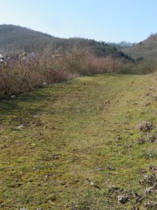
Representative Trail Photos:
Restrooms: None observed
Attractions on or near Trail:
Just lots of scenery and wine in Hatzenport
Tasting along the Trail:
Several wineries, wine taverns and restaurants in Hatzenport
Alternative Options:
Hiking: The 12-kilometer Hatzenporter Laysteig follows some of this trail, keeping above (uphill from) Hatzenport and the river, but not as far as the castle. It, too, is listed as difficult.
Biking: Mosel-Radweg, the 240 kilometer (150 mile) -long Moselle bike path passes through Hatzenport.
Car: Moselweinstrasse, a 243-kilometer car route also passes through Hatzenport
Additional Information:
Regional: https://www.sonnige-untermosel.de/
Trail specific: http://www.weinwetterweg.de/download.htm
Comments:
Warning: Wet weather can impact conditions on this trail, with mud in places, and wet, slippery rocks, especially on the climbing sections. Also, the Bischofsteiner Graben can ice over in places in the shadows (much of it), and would be even more slippery in a winter with more rain or snowfall.
This circuit also follows in places the signage for the long distance Moselsteig trail.