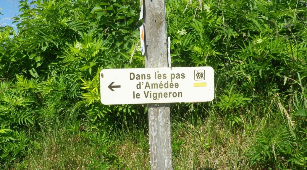
Trail Name: Dans les Pas d’Amédée le Vigneron
Trail Type: Short-distance circuit; well-maintained with hard (paved or packed earth) surfaces; marking for this itinerary is pretty good, but not always present.
Length:
Total – 7 kilometers/4.3 miles
Convenient to: Toulouse, Albi, Montauban, or Gaillac, Occitanie, France
Marking:
Signs specific to the trail (see above and below), as well as the ubiquitous French yellow bar markings
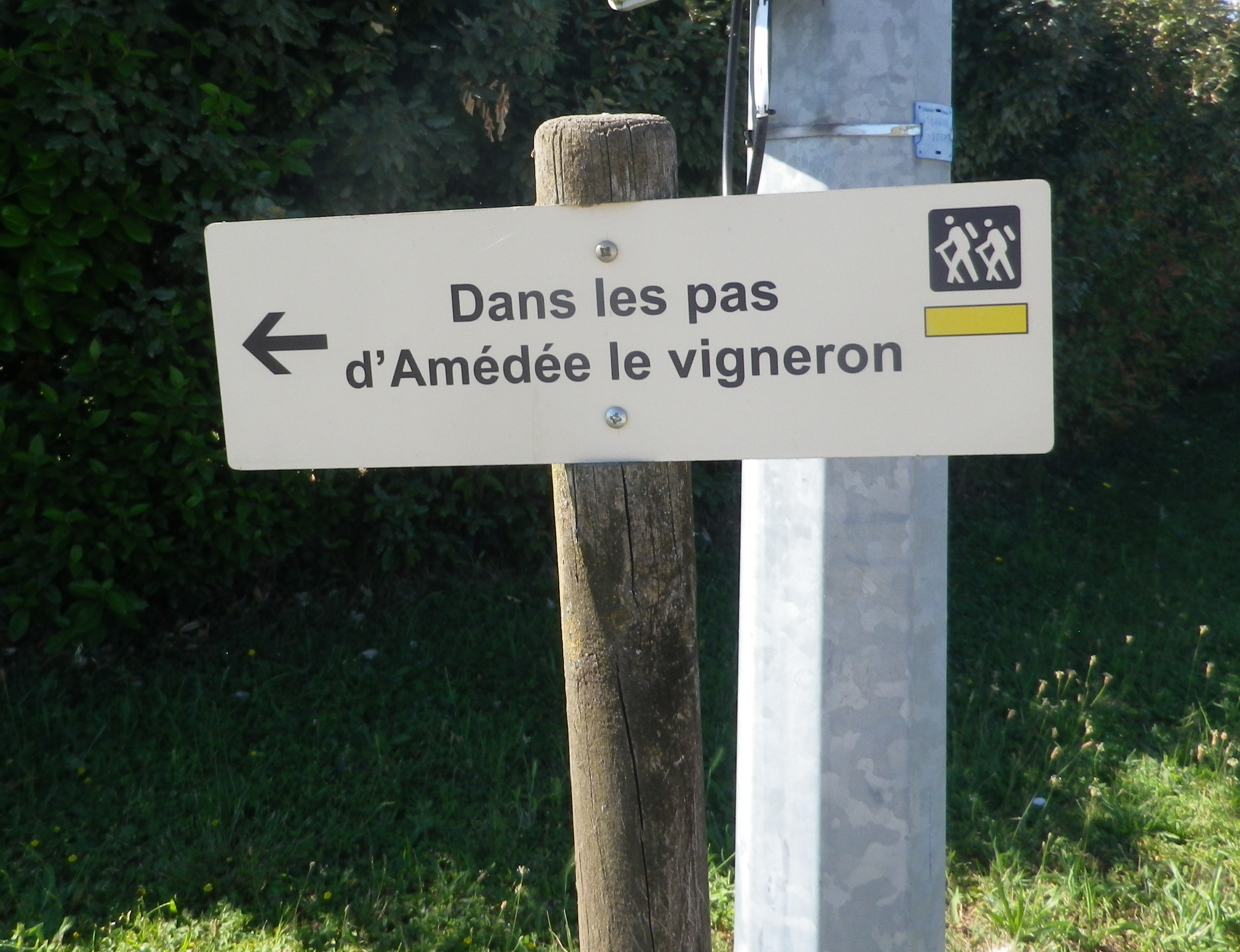
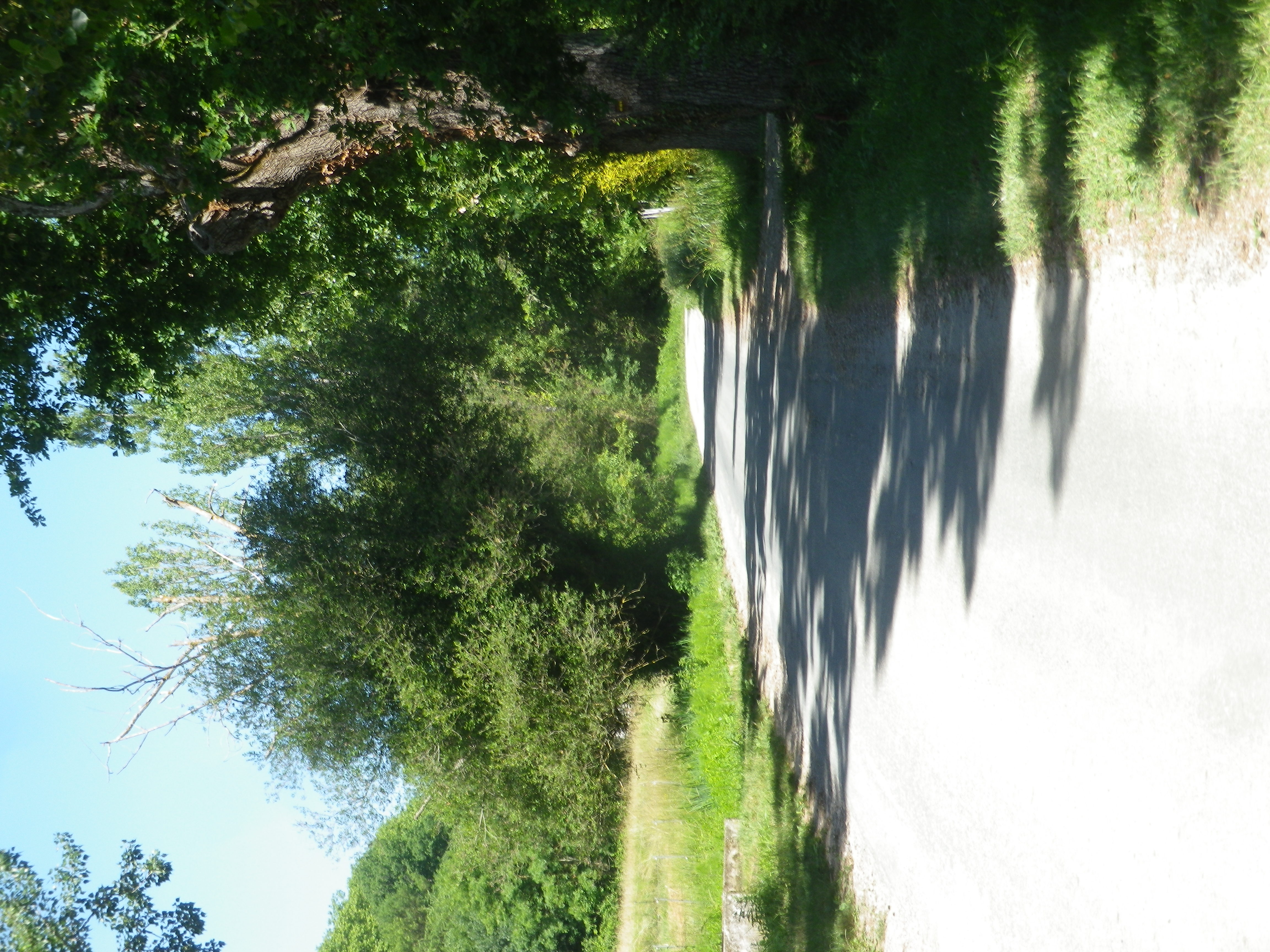
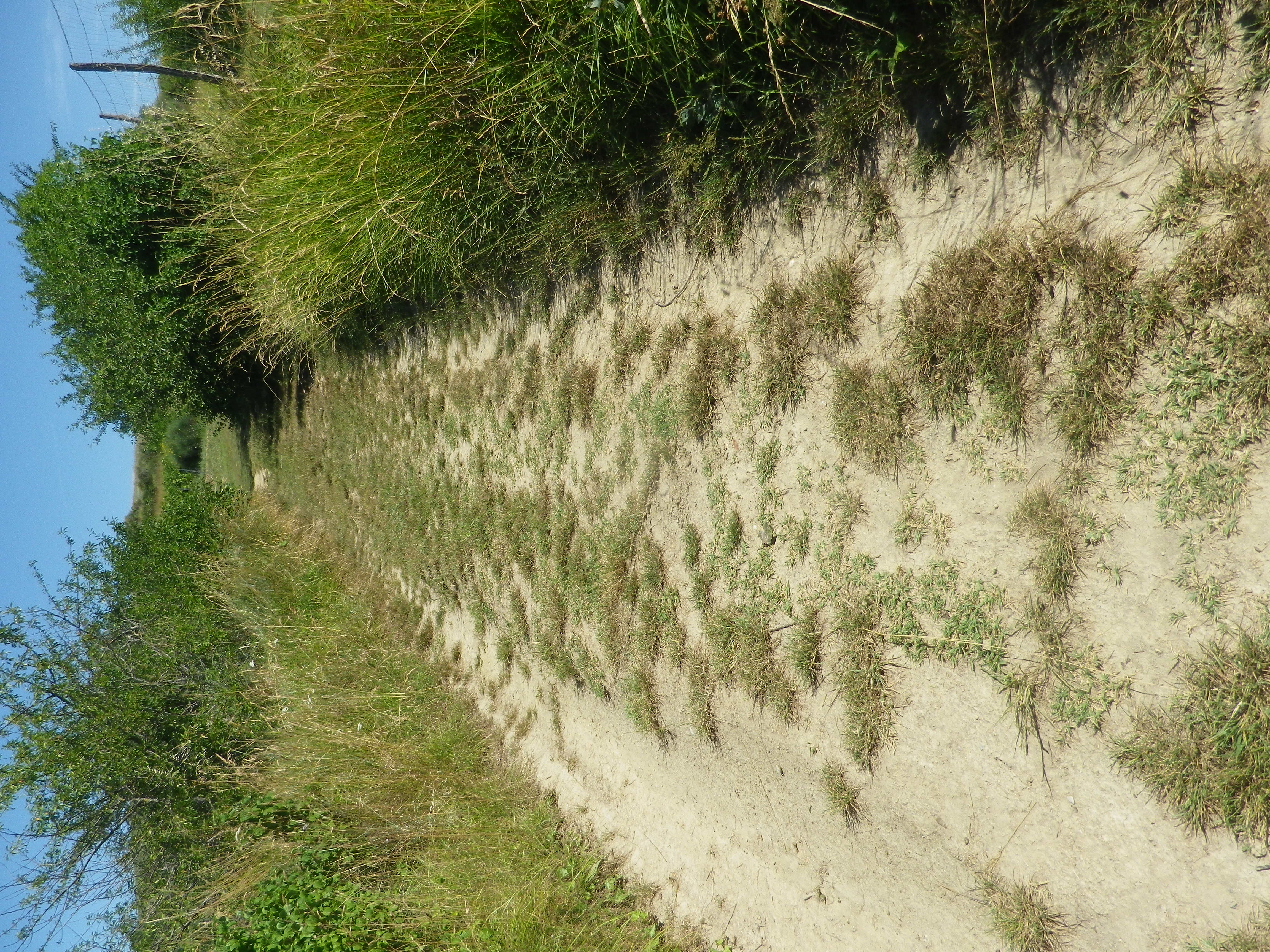
Trail Description: This mostly gentle walk through vineyards and fields in and around Rabastens, a town in the Gaillac wine region, provided lovely views, and several opportunities to sample the wines.
Trailhead:
Official: Rabastens, Vinovalle, Ave de l’Hermitage
Mine : Rabastens, Rue de la Croix Blanche (where the tail leading to the circuit begins)
Parking:
Rabastens: on the shoulder along Avenue de l’Hermitage, and along wider sections of the Chemin de l’Hermitage,
Rabastens: near the school – Ave de la Croix Blanche, (usually full, but empty during school vacations)
Rabastens: Rue des Abreuvoirs, a large central official parking lot, mostly closed during market days, and a kilometer from the trail
Public Transportation Options:
SNCF, the national train system, has a station in Rabastens connecting it with Toulouse and beyond
Suggested Stages:
Not applicable
Trail Itinerary-Reference Points: (Counterclockwise)
Rabastens: Cave, Ave de l’Hermitage, Chemin de l’Hermitage, R. des Ormes, R. des Clarisses, cross Rte de Saurs right to Chemin de la Tremege (Alternatively id’d: Ave de la Croix Blanche), path (La Dressiere) behind school back onto Chemin de la Tremege ; left onto path (250 m before the “t” insection) through vines, onto Las Bordes, stay right at y (350m past plant); sharp turn south/left, Fourtet: almost to Rte 2/Rte de Salvagnac, but just before it, turn left onto narrow Tremege Basse/Cote de la Tremege (by dumpsters); at school, retrace steps to Cave.
Representative Trail Photos:
Restrooms:
None observed
Attractions on or near Trail:
(See below)
Tasting along the Trail:
Vinovalle/Vignerons de Rabastens, a local cooperative
Domaine in Ventis, Les Fontaines de Cavalade, both are just off the trail and sell directly at local markets
Alternative Options:
Hiking: Vignes et Clochers, an eight kilometer long circuit trail, starting north of the center of Lisle-sur-Tarn (about five miles northeast of Rabastens), on D18/Camin de Tolze, Alternatively, Lisle-sur-Tarn also has the 11 kilometer Le Vignoble Lislois circuit trail, beginning right on the northern outskirts of the old town
Car: Circuit du Vignoble Gaillacois, Route des Vins de Gaillac, ask local travel offices for help mapping your route
Additional Information:
Regional: https://www.la-toscane-occitane.com/
Trail specific: https://www.france-randos.com/randonnee/rabastens/tarn-81/dans-les-pas-damedee-le-vigneron
Comments:
A very easy walk in a quiet corner of rural France, albeit only 30 kilometers from Toulouse!