Tag Archives: hiking Valtellina wine region

Trail in a Nutshell: Via dei Terrazzamenti II


Trail Name:  Via dei Terrazzamenti (Terrace Way)

Trail Type: Long distance; well-maintained, with a hard-packed, but occasionally uneven, surface; usually good marking on the trail

Length:

Total: 70 kilometers/43 miles (Morbegno – Tirano)

Mine: 14 kilometers/8.5 miles

Convenient to: Sondrio, or Tirano, Lombardy, Italy

Marking:

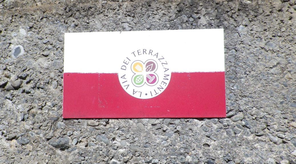
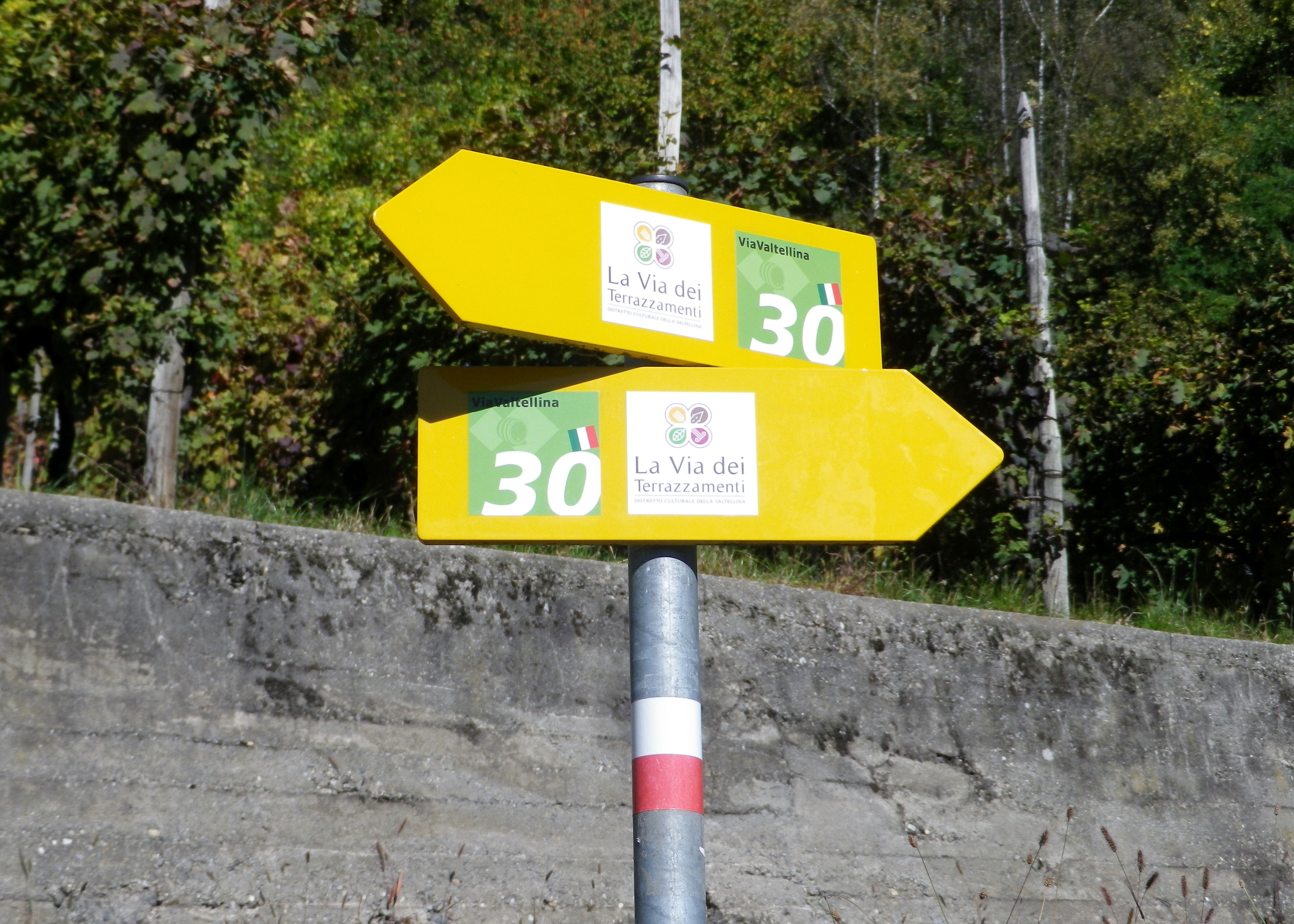
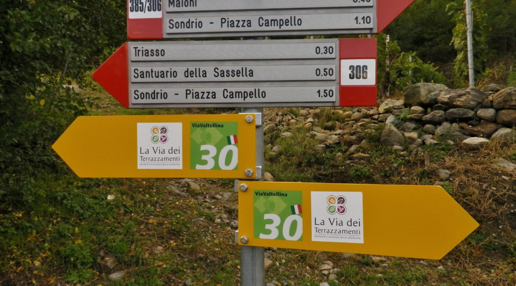
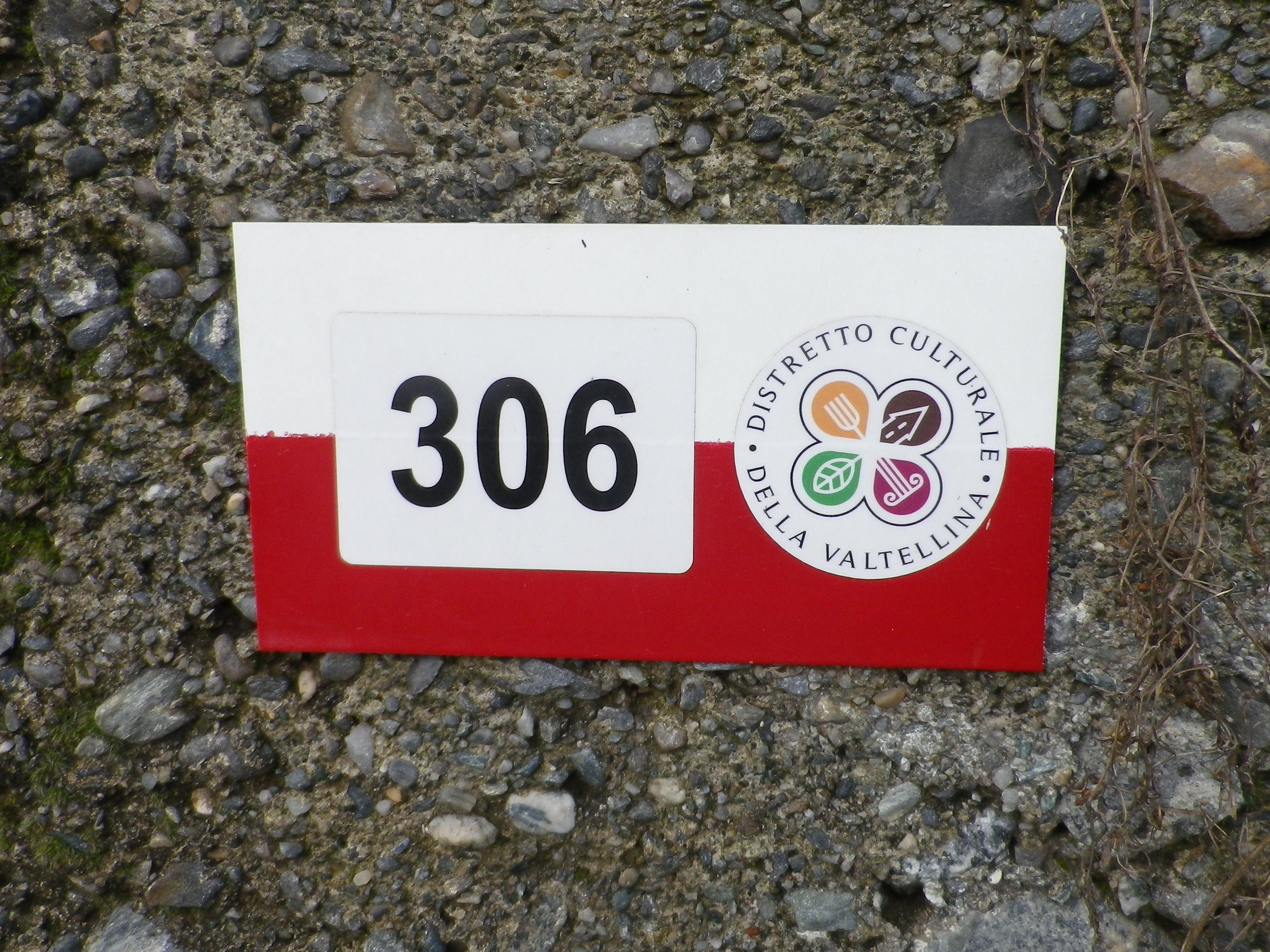
The words Via dei Terrazzamenti, accompanied by a logo resembling a four-leaf clover on a yellow arrow; sometimes the same logo is on a white bar over red bar rectangular sign (See the featured photo above, and the photo below.)

Via dei Terrazzamenti Trail Marker

Continue reading Trail in a Nutshell: Via dei Terrazzamenti II

Trail in a Nutshell: Via dei Terrazzamenti


Trail Name:  Via dei Terrazzamenti

Trail Type: Long distance; well-maintained, with a hard-packed, but occasionally uneven surface throughout, usually there is good marking on the trail, but it tends to disappear in villages and towns.

Length:

Total: 70 kilometers/43 miles (Morbegno – Tirano)

Mine: 14 kilometers/8.5 miles (Chiuro – Ponchiera)

Convenient to: Sondrio, or Tirano, Lombardy, Italy

Marking:

Words “Via dei Terrazzamenti” on a white background with a four-leafed clover design inside; sometimes associated with a metal yellow arrow.

White over red horizontal bars indicate a hiking trail generically

Note: The photo below shows all of the above, with the addition of an extra sign on the yellow arrow, (with a number thirty), indicating a different trail as well.

Signage: Via dei Terrazzamenti

Continue reading Trail in a Nutshell: Via dei Terrazzamenti