Tag Archives: Lombardy/Italy

Wine Notes: Italy’s Valtellina II


What I Learned

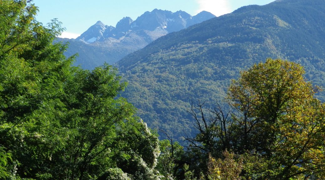
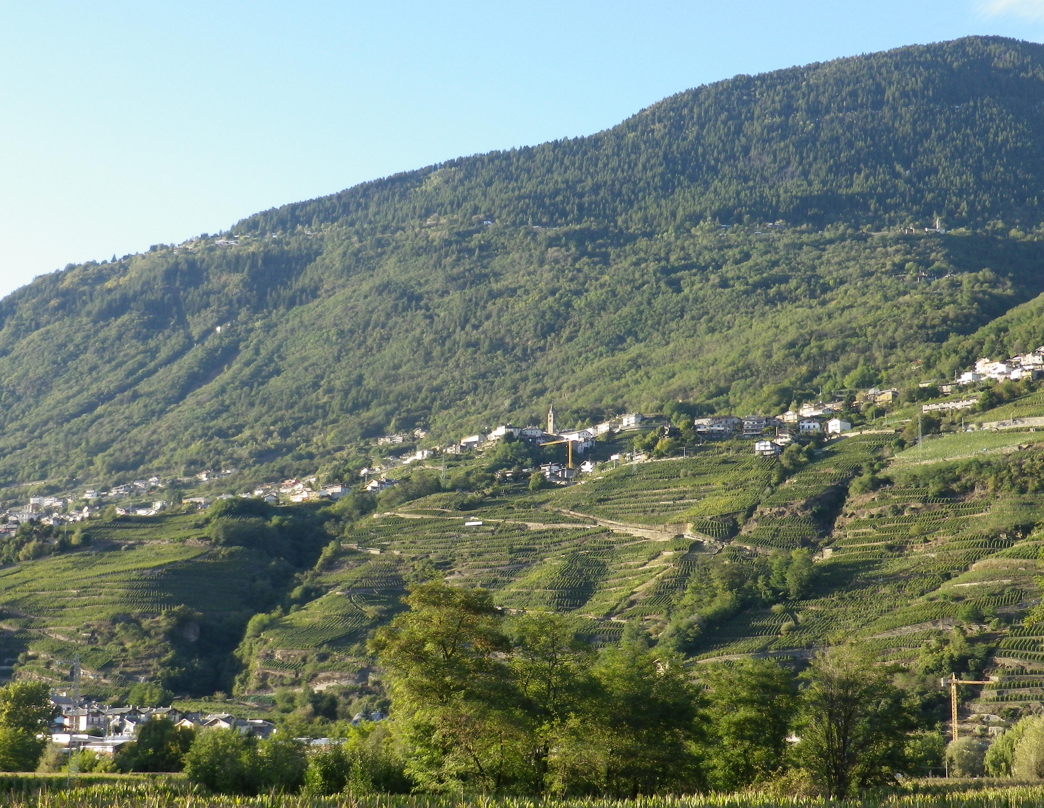
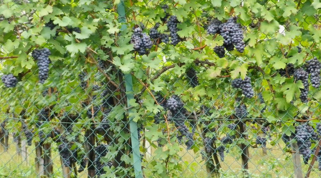
While the Valtellina wine region is not the northernmost wine producing area in Italy, its grapes grow at altitudes of over 760 meters (2500 feet). The terrain here is dominated by mountains: rocky, incredibly steep, subject to sudden changes in weather from the north.

The classification system in Valtellina, like the appellation controlee system in France, is based on geography. In Valtellina, there are five recognized areas of cultivation of the Chiavennasca grape (known as Nebbiolo in the Piedmont). These five areas are distinct micro zones of terroirs and traditions, each with its own history, and each with its own Chiavennasca wine.  Visiting each area, and sampling their wines, provides an excellent opportunity to explore the different expressions of Chiavennasca as vinified in Valtellina.

Continue reading Wine Notes: Italy’s Valtellina II

Valtellina Vineyards I


Strung together like a string of pearls, the vineyards of Valtellina occupy terraces along south-facing mountainsides in this spectacular Italian wine region. The vineyards climb vertiginously away from towns along the Adda River, up to villages clinging to the side of the mountain.

From the Adda to Montagna in Valtellina

Continue reading Valtellina Vineyards I

Wine Notes: Italy’s Valtellina I


What I Learned

Italy is famous for its for wines, especially powerful, refined reds such as Tuscany’s Brunello, Valpolicella’s Amarones, and Piedmont’s Barolo and Barbaresco wines. The Valtellina region of Lombardy, Italy, also produces well-regarded, powerfully flavorful, red wines, and made from the same varietal that produces Barolo and Barbaresco. It also produces wine in a process similar to Valpolicella’s Amarones. Lovers of such powerful reds will find Valtellina’s DOCG red wines delicious and a good value for the money.

Continue reading Wine Notes: Italy’s Valtellina I

Trail in a Nutshell: Via dei Terrazzamenti


Trail Name:  Via dei Terrazzamenti

Trail Type: Long distance; well-maintained, with a hard-packed, but occasionally uneven surface throughout, usually there is good marking on the trail, but it tends to disappear in villages and towns.

Length:

Total: 70 kilometers/43 miles (Morbegno – Tirano)

Mine: 14 kilometers/8.5 miles (Chiuro – Ponchiera)

Convenient to: Sondrio, or Tirano, Lombardy, Italy

Marking:

Words “Via dei Terrazzamenti” on a white background with a four-leafed clover design inside; sometimes associated with a metal yellow arrow.

White over red horizontal bars indicate a hiking trail generically

Note: The photo below shows all of the above, with the addition of an extra sign on the yellow arrow, (with a number thirty), indicating a different trail as well.

Signage: Via dei Terrazzamenti

Continue reading Trail in a Nutshell: Via dei Terrazzamenti