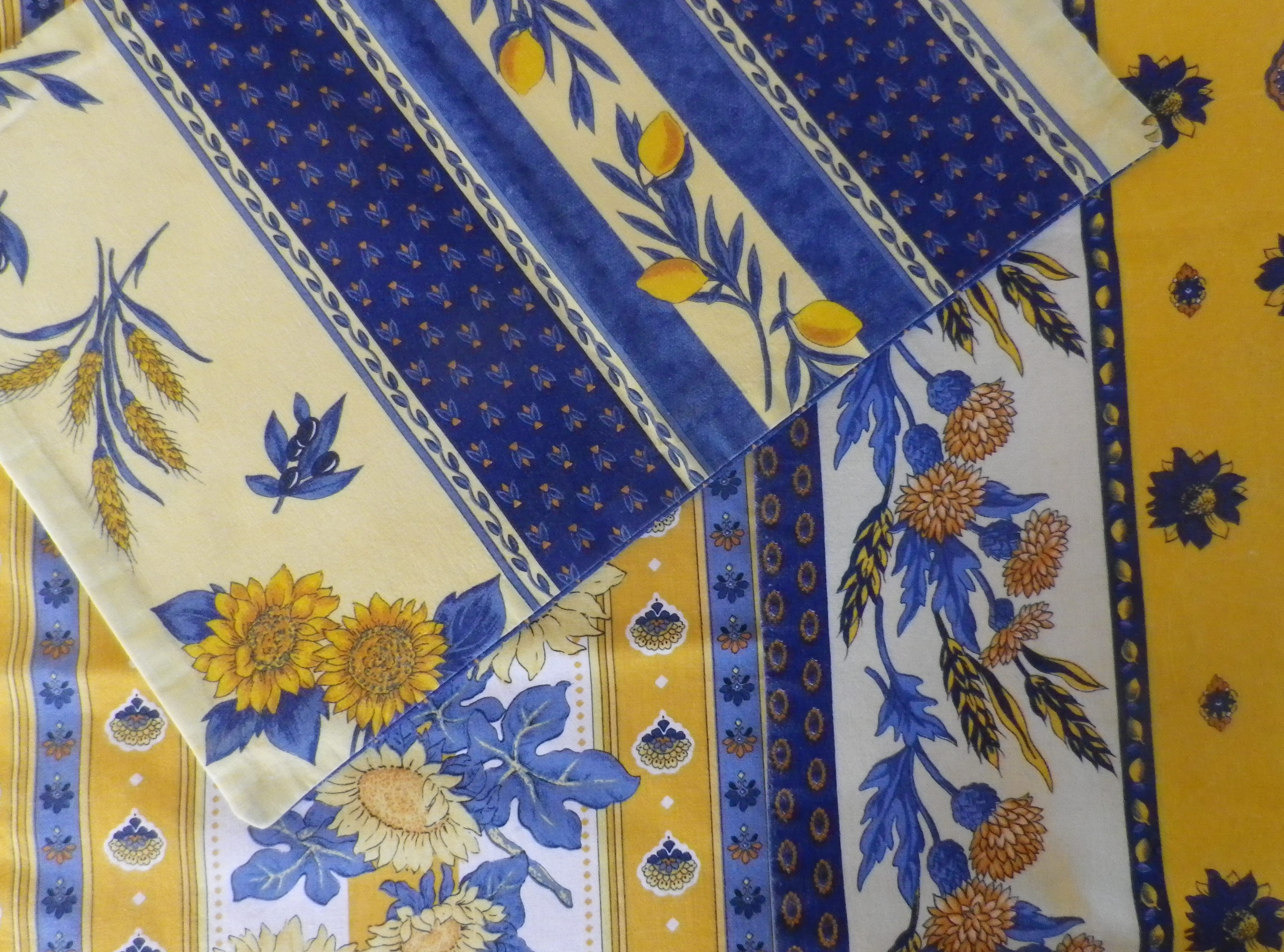
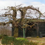
Provence produces purples in abundance. From the different varietals of red (actually dark purple colored) grapes grown in the region, to the fields of lavender. Color abounds, and not just in the fields! The vibrant blues and yellows of tableware and dining linens, the luscious deep reds of the wines, the green of the olive oils are all visible in markets throughout the region.
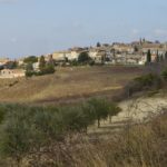
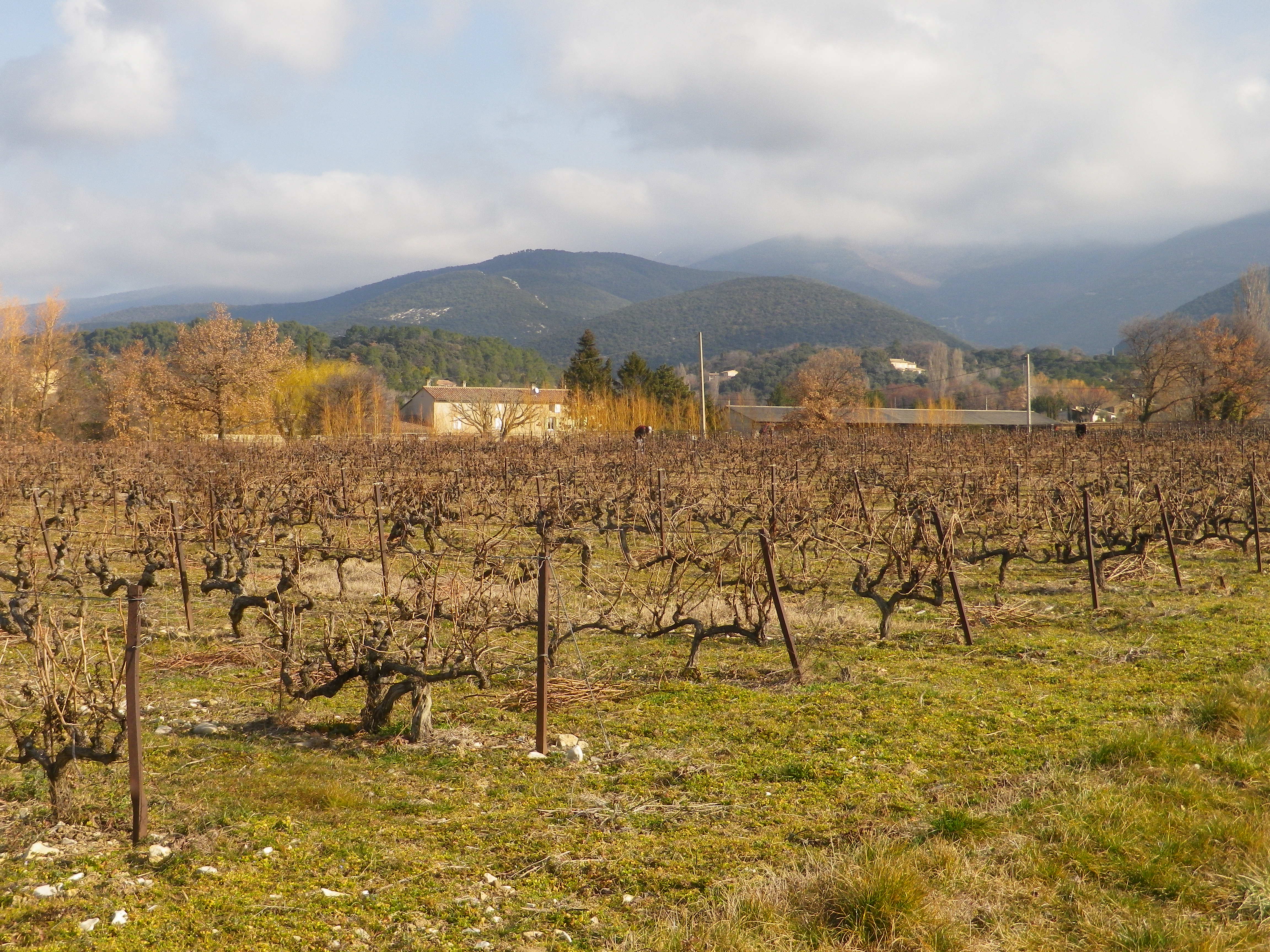
Walking through the garrigue, only a few meters away from the Vaucluse, with views of the Baronnies Provencales National Park, with its arid landscape, surrounded by vines producing Cotes du Rhone wine, you could be forgiven for thinking you were in Provence.
Instead, I was in the Drome Provencale, in Saint Pantaleon-Les Vignes, to be exact. A wine-themed trail developed in association with the local cooperative, the Vignerons de Valleon, runs through and around the village. While the trail begins in the village, itself on the border with the Vaucluse, it soon enters vineyards. Not surprising as the village has the word “vines” in its name.
Vineyards Beginning at Village Edge
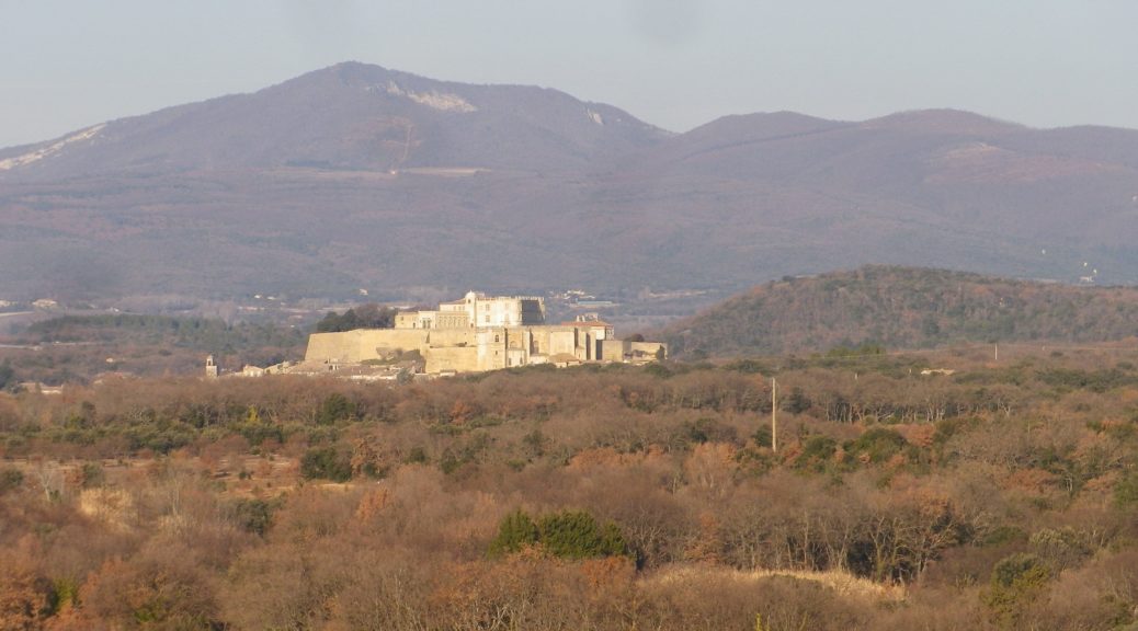
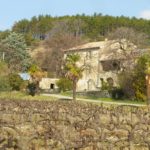
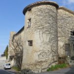
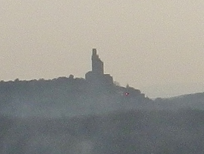
Saint Pantaleon is one of the 16 or so villages dedicated to producing some of the best Cotes du Rhone red wines there are. The village wines may carry the appellation name Cotes du Rhone Village and its own name on its bottles, a signal honor indeed. No doubt they had plenty of practice. In 900s, it was officially cited as having vineyards, although at that point, viticulture was probably close to a thousand years old in the area. Proud of their history, there is a wine education trail along part of the trail apparently identified by number bottles (but I lacked the brochure/key to what it all meant).
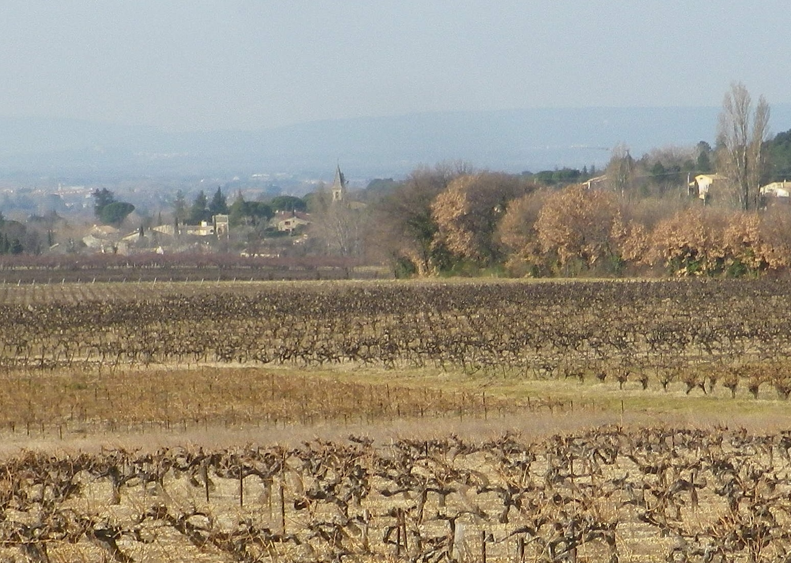
View of St Pantaleon
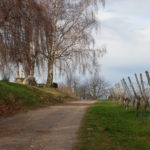
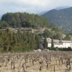
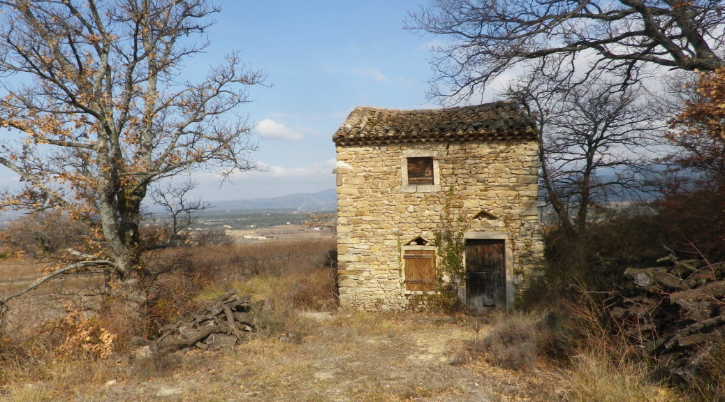
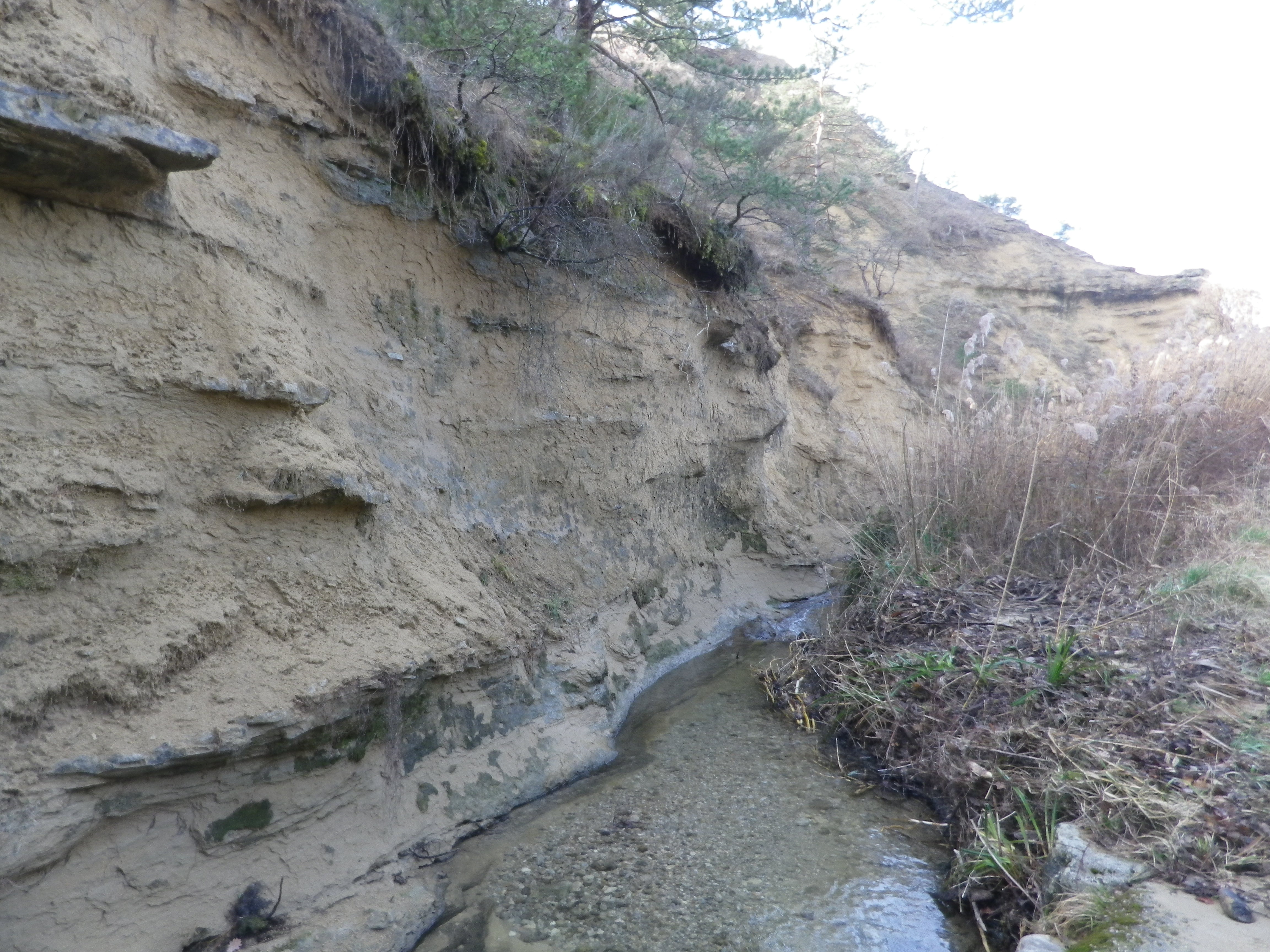
At a cluster of farmsteads, passing several palm trees slightly swaying in a warm February breeze, the trail began to lead to different terrain. A different, wilder, landscape begins to appear. After passing through the hamlet on the other side of the main road, the trail leads to a ravine. The exposed bank showed a mix of sand, clay and pebbles, mostly limestone, it seemed. So, this is what the vines grew in! Fortunately, it had not rained for a while. The small stream ran swiftly along its base, and judging from the gravel and rocks on the trail, it ferociously overran its banks on occasion. Picking my way over the rubble, I followed the trail uphill.
Torrente de la Fosse
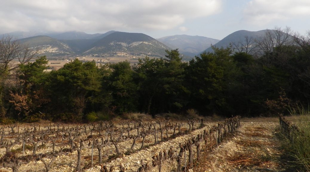
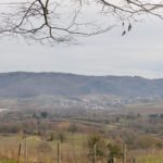
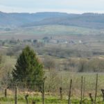
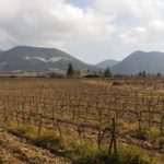
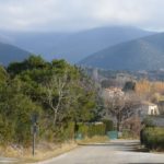
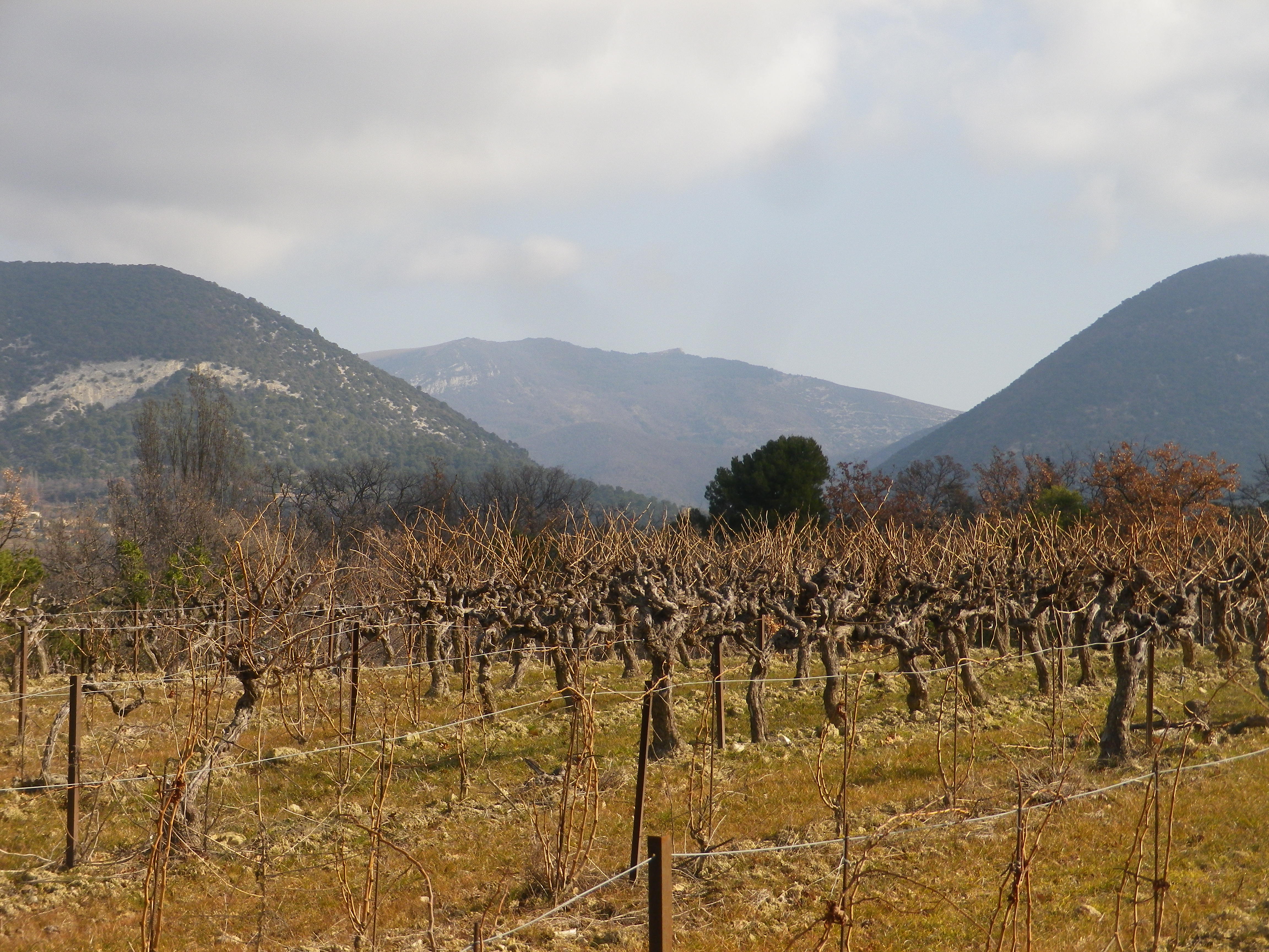
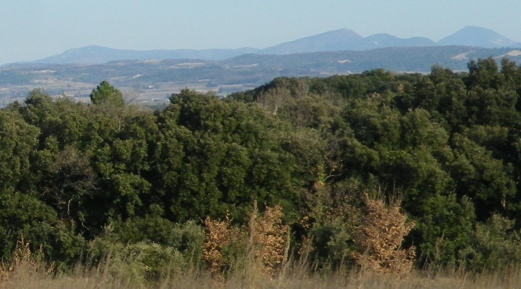
After a short and gentle incline, I soon reached the high ground. Unlike the vineyards below, these vineyards were sheltered and more discrete. Wandering through a mix of vineyard, fields and woods, it was a quietly peaceful interlude. All the better to enjoy the beautiful views. The distant Rhone River Valley and the Ardeche mountains lay to the west, at a minimum some 30 kilometers (20 miles) way, but appearing closer in the bright sun and clear air. To the north and east, the Baronnies National Park and the Prealpes, foothills to the Alps further east, seemed close enough to reach out and touch.
Baronnies Provencales National Park
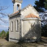
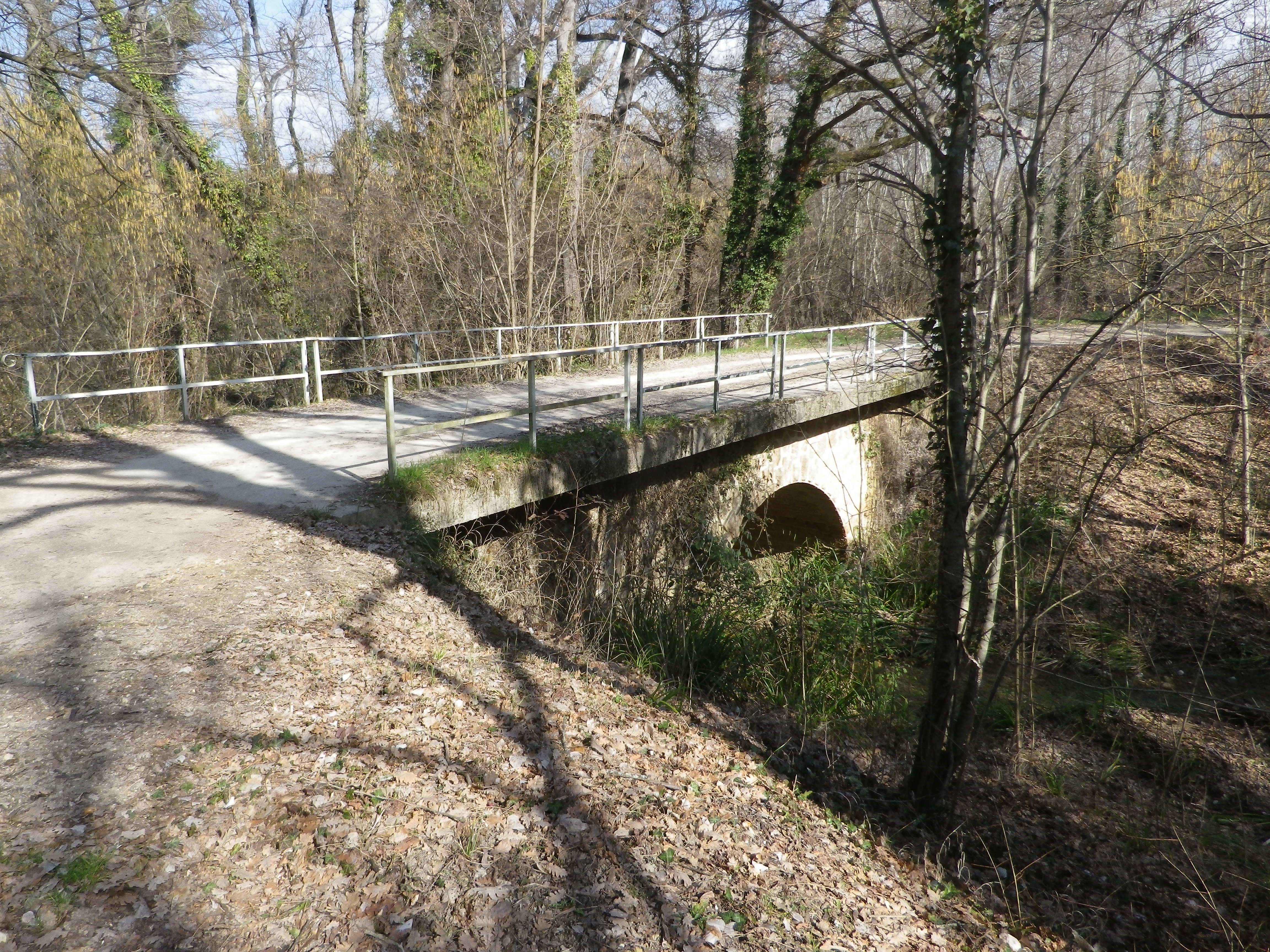
The terrain is lined with ravines, some with water. While the trail managed to avoid the roughest parts, it did have some ascents and descents along the way. Luckily the trail crossed one of the drops along a viaduct. It had been constructed for the train from the Rhone to Nyons, further east. The cooperative created a red wine cuvee and named it in honor of the train, and the bottle label bears a drawing of the train passing along the viaduct.
The Old Viaduct
As I headed downhill, the smell of garrigue filled the air: Pine, rosemary, and thyme. Lavender plants, not in bloom in winter, were nonetheless present here and there. The generally dry and mostly sunny climate in this part of France enables these plants, along with grape vines, to grow well here. In fact, in many places, they will grow wild. Running fingers through a wild rosemary bush on the trail, is one way to whet an appetite for dinner – which naturally would include local wine. What a nice end to a day on the trail!
Trail Type: Short to mid-distance circuit trail; well-maintained and widely varying surfaces from paved to very rough, marking on the trail very good in places, completely missing in others
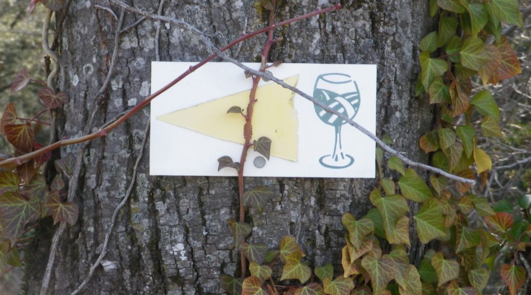
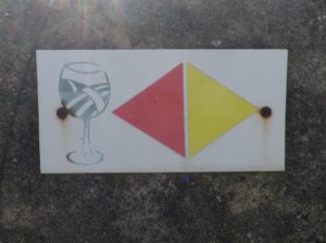
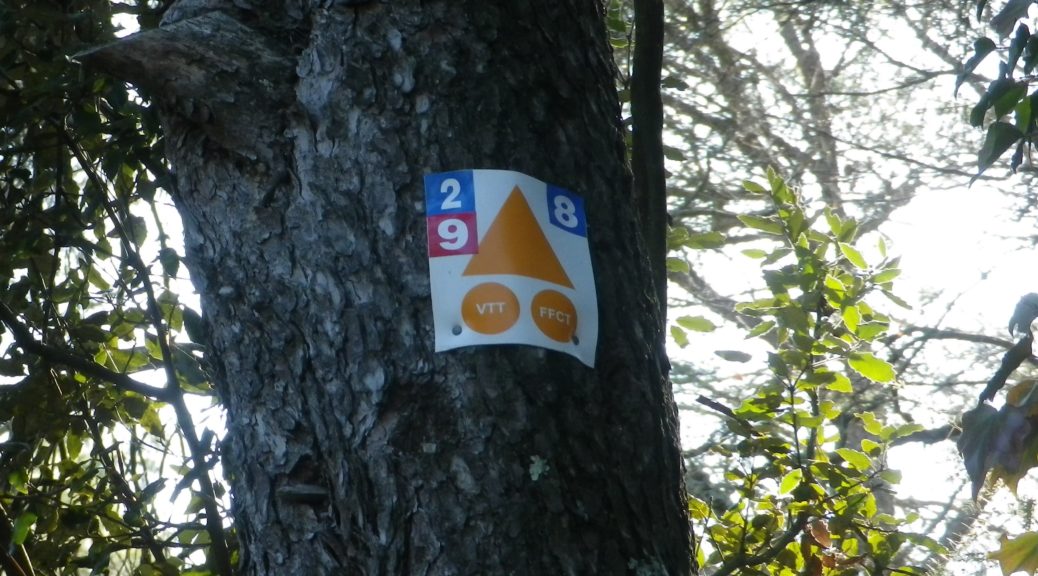
Marking: Numbered wine bottles (some missing) in part, red or yellow arrows with a stylized vineyard area depicted in a wine glass, in other places
Signage for Red and Yellow Trail where Conjoined
(The featured photo on top shows signage for the Yellow trail only.)
Trail Description: A relatively easy, family-friendly and varied trail offering wine education (close to the village), garrigue and vineyard landscapes, overlooked by tall mountains to the east. The trail has two conjoined circuits, making it possible to adapt hiking plans, depending on available time or weather situations. (See the comment below about flooding.)
Trailhead:
St Pantaleon-Les-Vignes: By the townhall (with church-like tower); or Cave Vignerons, Route de Nyons 1
Parking:
St Pantaleon: just off traffic circle, or by the town hall (Mairie), D548 x D541, and by Chateau Urdy
Public Transportation Options:
Rail: The closest rail service is at Montelimar, with good connections plying the major French North-South artery of the Rhone.
Bus: Buses provided by the Auvergne-Rhone-Alps Region (Oura on the website) “Cars Region” service, frequently connect Saint Pantaleon, Rousset, and Taulignan, with Montelimar, (and the rest of France).
Suggested Stages:
The full trail (both northern (heading to Rousset les Vignes) and southern halves) can be done together, or separately.
Trail Itinerary-Reference Points: (Southern circuit only – Clockwise)
Traffic circle on D 541/Rte. de Nyons – Montelimar, D548 -Grand Grange, right fork to Route des Juliannes; La Beaume, cross bridge over the Rieumau creek, Cross D541/Plan du Gre/Rte. de Nyons; Fontaine de Barral; Chapel; Cross the viaduct over Torrent de la Fosse; Chateau Urdy; Traffic circle with super-sized “ wine corks;” Cross D541 to return to the village
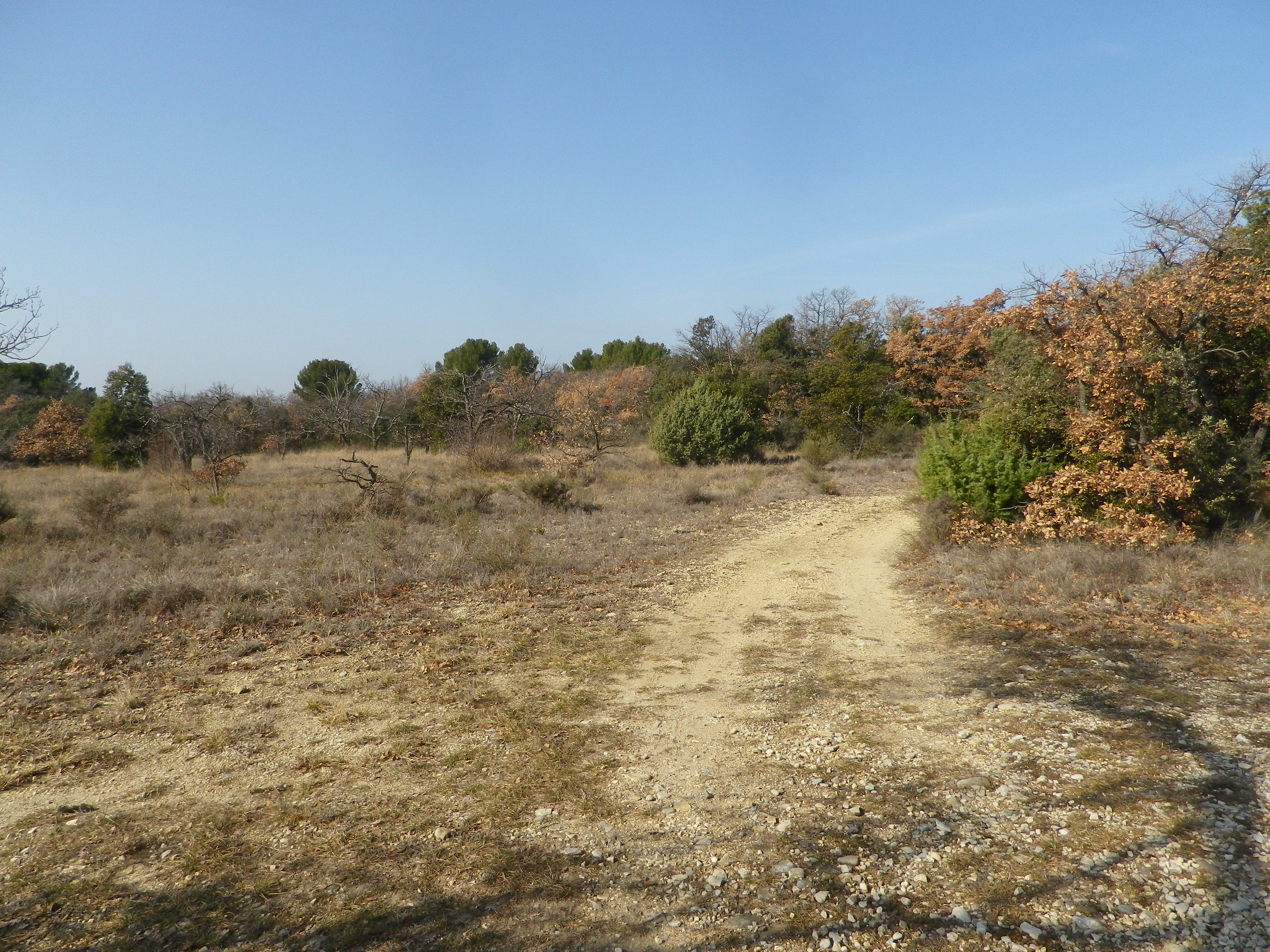
Representative Trail Photos:
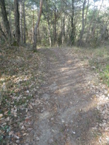
Section of Trail in Woods
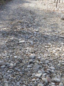
Section of Rough Trail Surface
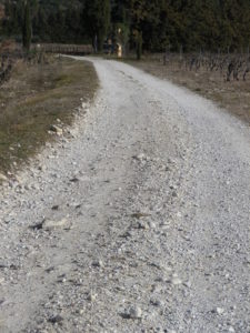
Section of Trail
Restrooms:
In the village, by the church.
Attractions on or near Trail:
The Vignerons de Valleon winery offers tours and tastings to the public, are open liberal hours, and are very helpful and knowledgeable about the wines, as well as about the area and the trail.
Tasting along the Trail:
Chateau d’Urdy
Cave Vignerons de Valleon
Alternative Options:
Car: The Route de la Drome Provencale passes through Taulignan, St Pantaleon-Les-Vignes and Rousset-Les-Vignes, showcasing vineyards, quiet villages and beautiful old structures.
Heavy rain can occur, and will flood parts of this trail, especially the low ground at the base of the hill south of the hamlet of Barral, at the Torrent de la Fosse!
The Drome Provencal, set south of Valence in France’s Rhone River Valley, already had spring-like weather when I visited in mid-February. With several fairly easy mountain biking trails suitable for the whole family, I decided to try one that centered around the village of Chamaret.
Sadly though, my bike was not available that day, and not finding a rental (a downside to winter touring), I decided to hike the southern part of the trail, beginning and ending in the village center. I am glad I made that call, for two reasons. The first: my hybrid bike and I would not have done well on part of this trail, and second: a short hike gave me time to explore this charming village.
Trail Name: De Tour en Grotte (southern half only)
Trail Type: Short distance circuit trail; well-maintained and almost exclusively hard-surfaced, either tarmac, earthen or rock surfaces, marking on the trail rather good throughout the southern half. (See comments below)
Length:
Total – 20 kilometers
My segment – @9 kilometers
Convenient to: Grignan, France
Marking: A white 2 on a blue background, accompanied by the VTT (mountain bike) symbol: a triangle (orange) with two same-colored circles.