Tag Archives: hiking French wine trails

Circuit du Vignoble: Trail in a Nutshell


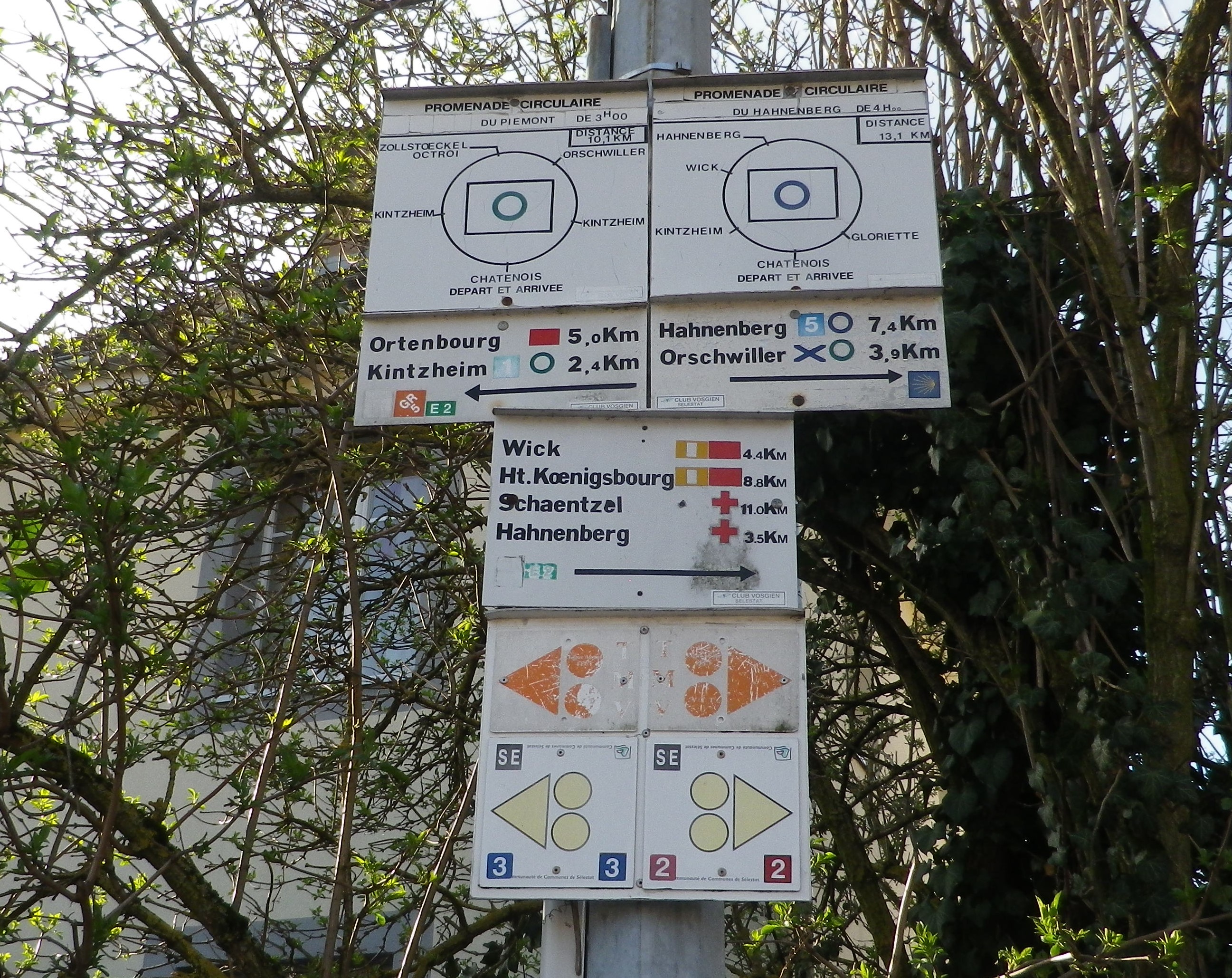
Trail Name:  Circuit du Vignoble (Bike), Circuit de Piémont (Hike)

Trail Type: Mid-distance circuit trail; well-maintained, with almost exclusively paved or hard-packed surfaces throughout, marking on the trail not always easily discerned

Length: 10.1 kilometers/6 miles

Convenient to: Selestat, Alsace, France

Marking:

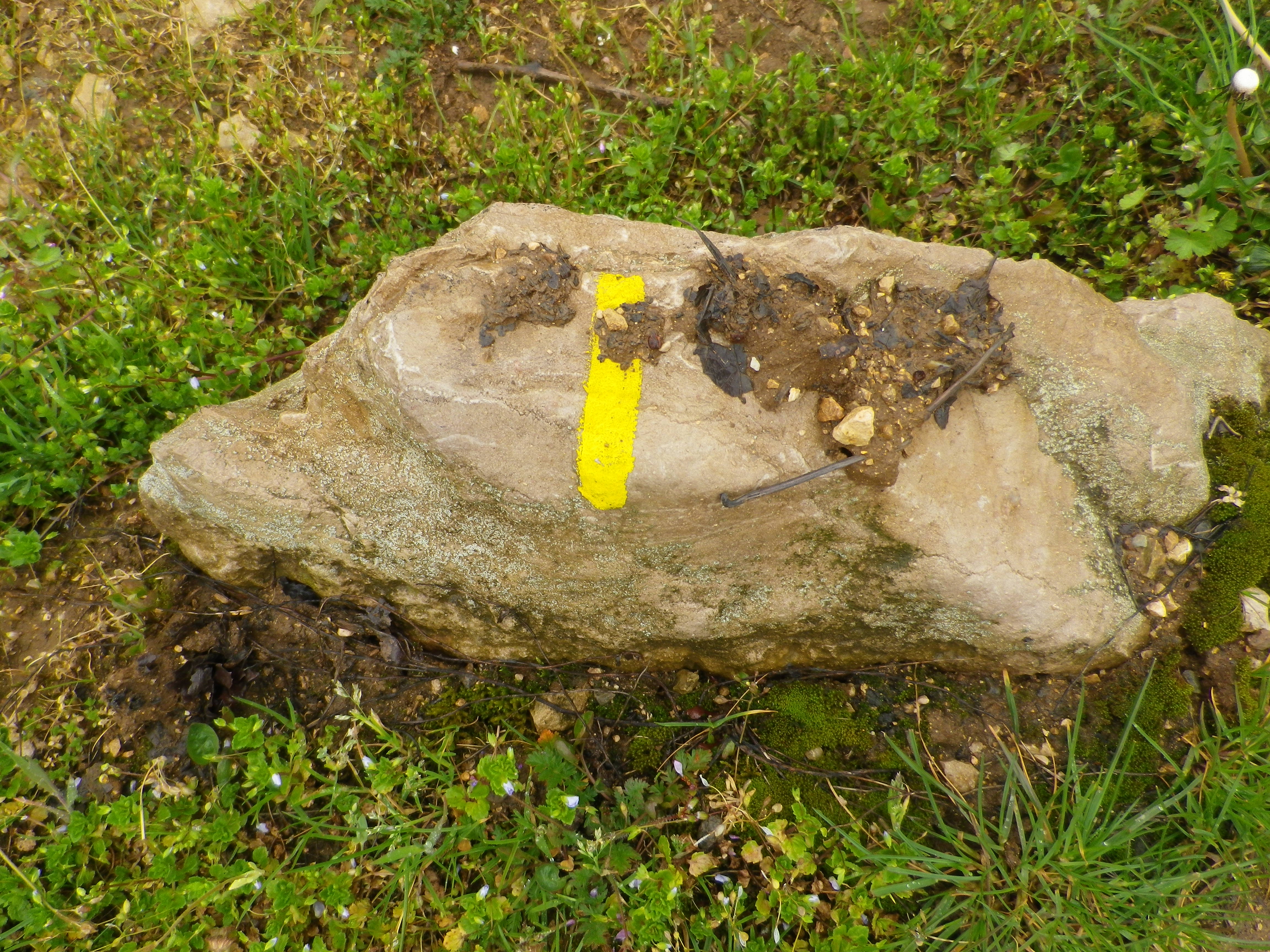
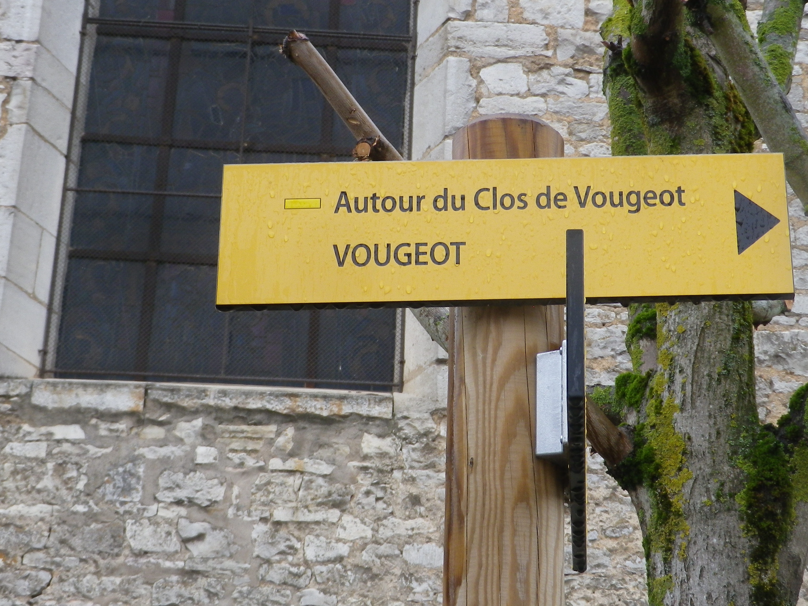
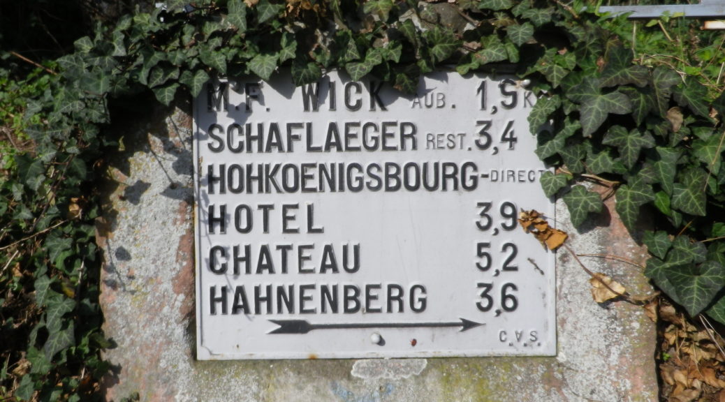
Green circle outline on a white background (hike); Yellow (or orange) triangle (pointing to direction of travel) with two yellow (or orange) wheels, indicates a bike-able trail itinerary, though not clear whether this one or not. Note too, this sign indicates villages and distances to them. With so many trails (and signs) in this area, the issue is finding consistent marking to follow for a specific trail.

Signage Options

Continue reading Circuit du Vignoble: Trail in a Nutshell

Entre Vignes et Cadoles: Trail in a Nutshell


Trail Name:  Entre Vignes et Cadoles (au Depart des Riceys)

Trail Type:

A short-distance circuit; mostly well-maintained and with mostly hard surfaces (hard packed or paved), marking on the trail only occasional.

Length:

Total – 6.6  kilometers/4 miles

Convenient to: Troyes, France

Marking:

Yellow horizontal bars, or blue horizontal bars, sometimes together. (See the sign above.)

Continue reading Entre Vignes et Cadoles: Trail in a Nutshell

Autour du Clos de Vougeot: Trail in a Nutshell


Trail Name:  Autour du Clos Vougeot

Trail Type: An easy, short circuit trail, mostly hard packed or tarmac surfaces, fairly well maintained, with some signage along the route.

Length:

Total – 8.5 kilometers/ 5.25 miles

Convenient to: Dijon or Beaune, France

Marking: Yellow rectangles/bars, and the occasional named trail sign. See also the featured photo of trail signage above.

Marking on the Trail
Trail Signage along the Route

Continue reading Autour du Clos de Vougeot: Trail in a Nutshell