Trail Name: Circuit du Vignoble (Bike), Circuit de Piémont (Hike)
Trail Type: Mid-distance circuit trail; well-maintained, with almost exclusively paved or hard-packed surfaces throughout, marking on the trail not always easily discerned
Length: 10.1 kilometers/6 miles
Convenient to: Selestat, Alsace, France
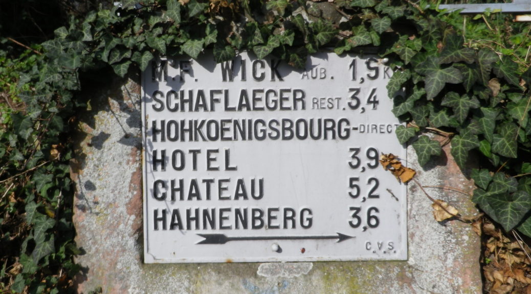
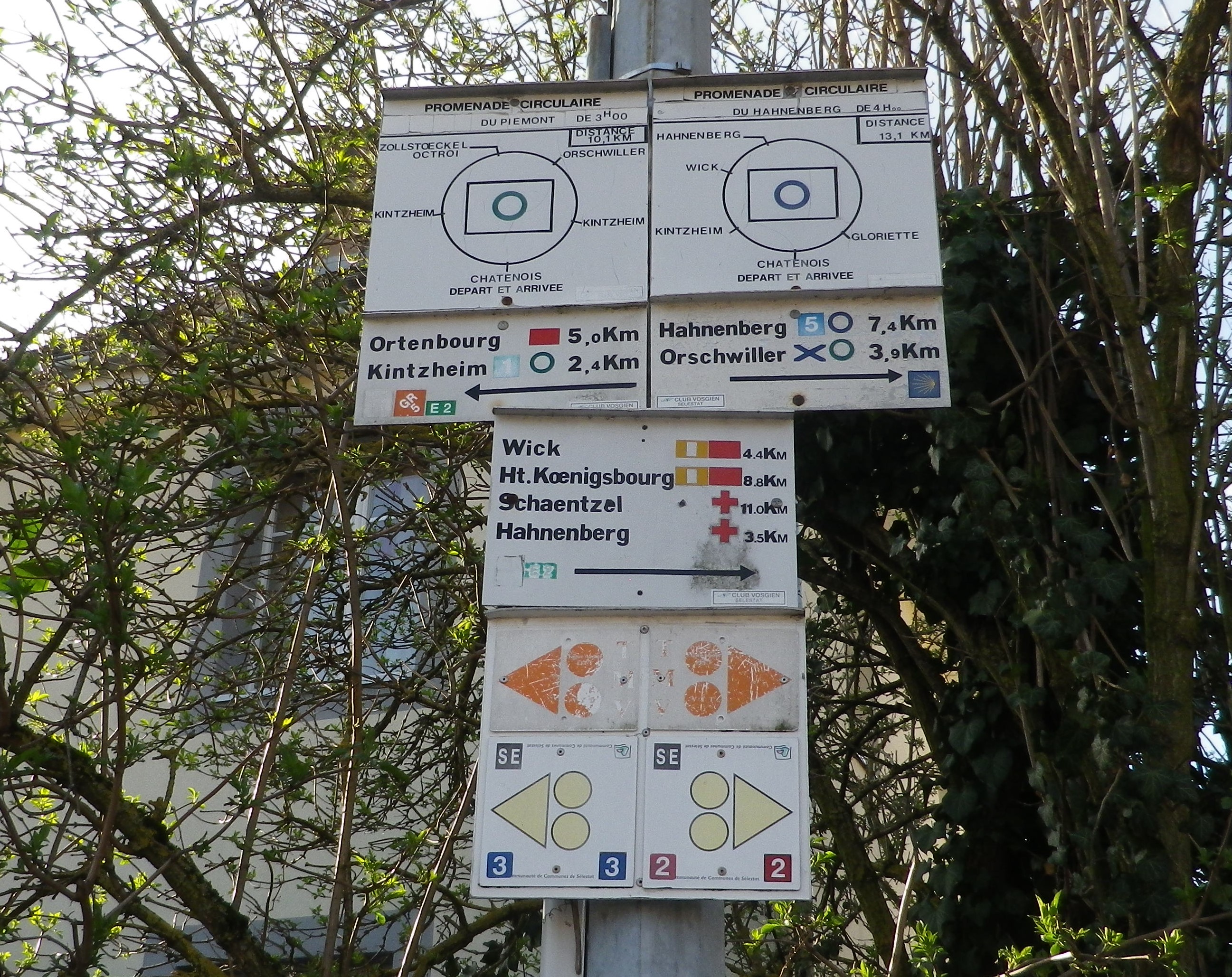
Marking:
Green circle outline on a white background (hike); Yellow (or orange) triangle (pointing to direction of travel) with two yellow (or orange) wheels, indicates a bike-able trail itinerary, though not clear whether this one or not. Note too, this sign indicates villages and distances to them. With so many trails (and signs) in this area, the issue is finding consistent marking to follow for a specific trail.
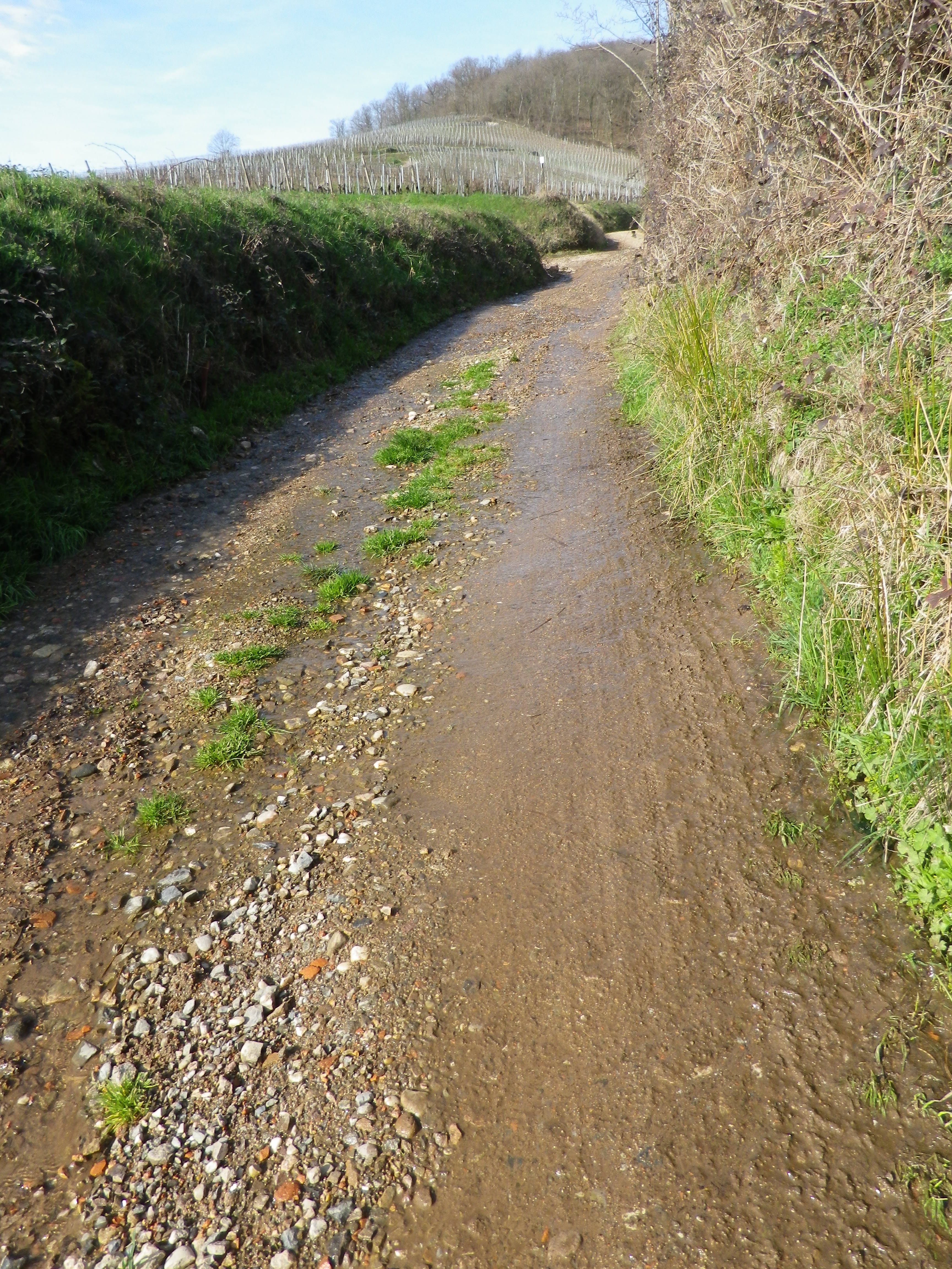
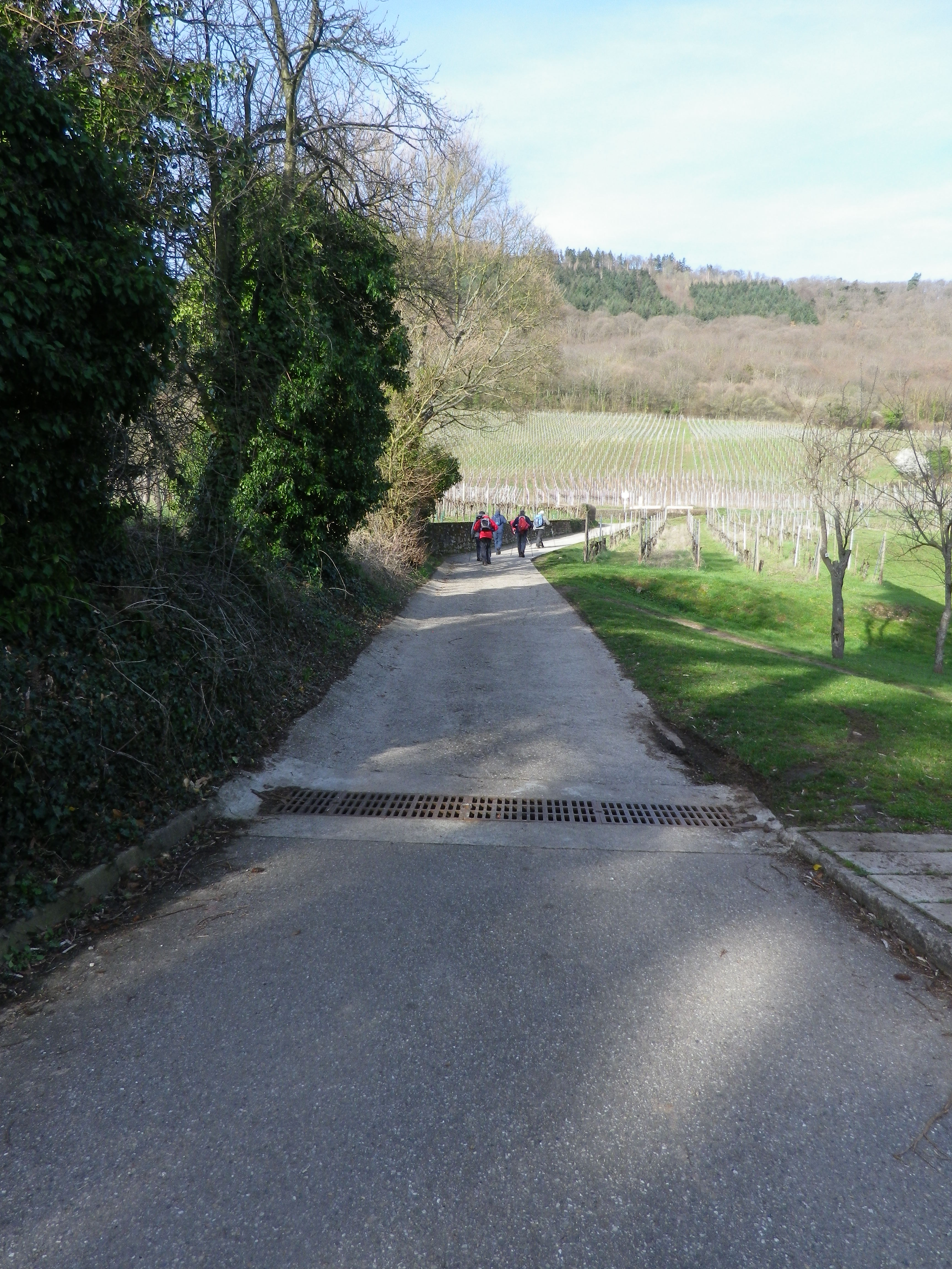
Trail Description: This trail can be hiked or biked, and either way, it is easy – a great trail for families or beginners. The charm of this trail is its tranquility, as it avoids most roads, and its views, up to the magnificent Haut-Koenigsbourg castle, or Vosges Mountain tops, or over to Germany’s Black Forest. Whether hiking or biking, wine lovers will find the Grand Cru Praelatenberg at their feet, and its wines in the villages’ wineries or many eating establishments.
Trailhead:
North: Chatenois, R de l’Eglise
Center: Kintzheim, Rue des Œillets x Rue de la Legion
South: Orschwiller, Grande Rue
Parking:
Chatenois, Place des Charpentiers (two different areas, with over 20 spots each); R de l’Eglise (closest)
Kintzheim, R du General de Gaulle/D159, turn into Volarie des Aigles road, huge unimproved lot, OR Rue des Œillets x Rue de la Legion
Orschwiller, Rue de l’Eglise x Place de la Mairie, at the side of the church
Public Transportation Options:
Rail Service to Selestat, on a main north-south route between Strasbourg and Colmar, and from Selestat, buses to Kintzheim (3 kilometers/2 miles distant), Orschwiller or Chatenois. Check SNCF (https://www.sncf.com/en)
Suggested Stages: Not applicable
Trail Itinerary-Reference Points: (Counterclockwise)
Chatenois: D35/Rte de Kintzheim, R de l’Eglise, R St Georges, at the end of an uphill climb, turn left, follow unnamed path to Kintzheim: R du General de Gaulle, R des Chars, turn right onto the trail (a bit before R des Americains), turn right at the end, and then first left, follow the unnamed trail to, then along the R des Prelats; Orschwiller: turn downhill onto the Grande Rue, cross D35, continue straight at the curve into the vineyards, follow the unnamed path to the Borne Romaine (Roman mile marker), turn left and follow the straight (presumably Roman) trail to Kintzheim, cross D901, and the Steinbach creek, left at the fork, onto R du Stade, and R de la Legion, past the Cemetery, onto R d’Alsace, left onto R du Bailliage, to D35/Rte de Kintzheim
Representative Trail Photos:
Restrooms: None observed
Attractions on or near Trail:
None wine-related, although some places have wine education placards in the vineyards, but Haut-Koenigsbourg is worth a visit (and its tavern serves local wines); other castles may be hiked to easily.
Tasting along the Trail:
Wineries are thick on the ground, especially in Orschwiller and Chatenois
Alternative Options:
Biking: The 138 kilometer-long (85 miles) Veloroute du Vignoble D’Alsace, takes cyclists through some of the most famous wine villages, and along, if not through, some of the greatest Grands Crus in Alsace. The northern half has more dedicated bike paths than the southern half, and with stops, makes for a great full day trip. See my Nutshell here.
Car: Route des Vins d’Alsace, a 170 kilometer-long (105 miles) wine tourism route passing through many of the region’s wine villages and along the vineyards.
Additional Information:
Regional: https://www.selestat-haut-koenigsbourg.com/
Trail specific:
https://www.visit.alsace/222003130-circuit-du-vignoble-vtt/
Comments:
In spite of two different names (three, if you count the name I originally found: Vignoble de Selestat) the links above seem to show the same trail itinerary, which can be easily hiked or easily biked (with a sturdy hybrid or mountain bike).
Spend 30 or so minutes exploring Chatenois, its busy main street, its church, its towering gate, and its narrow lanes.