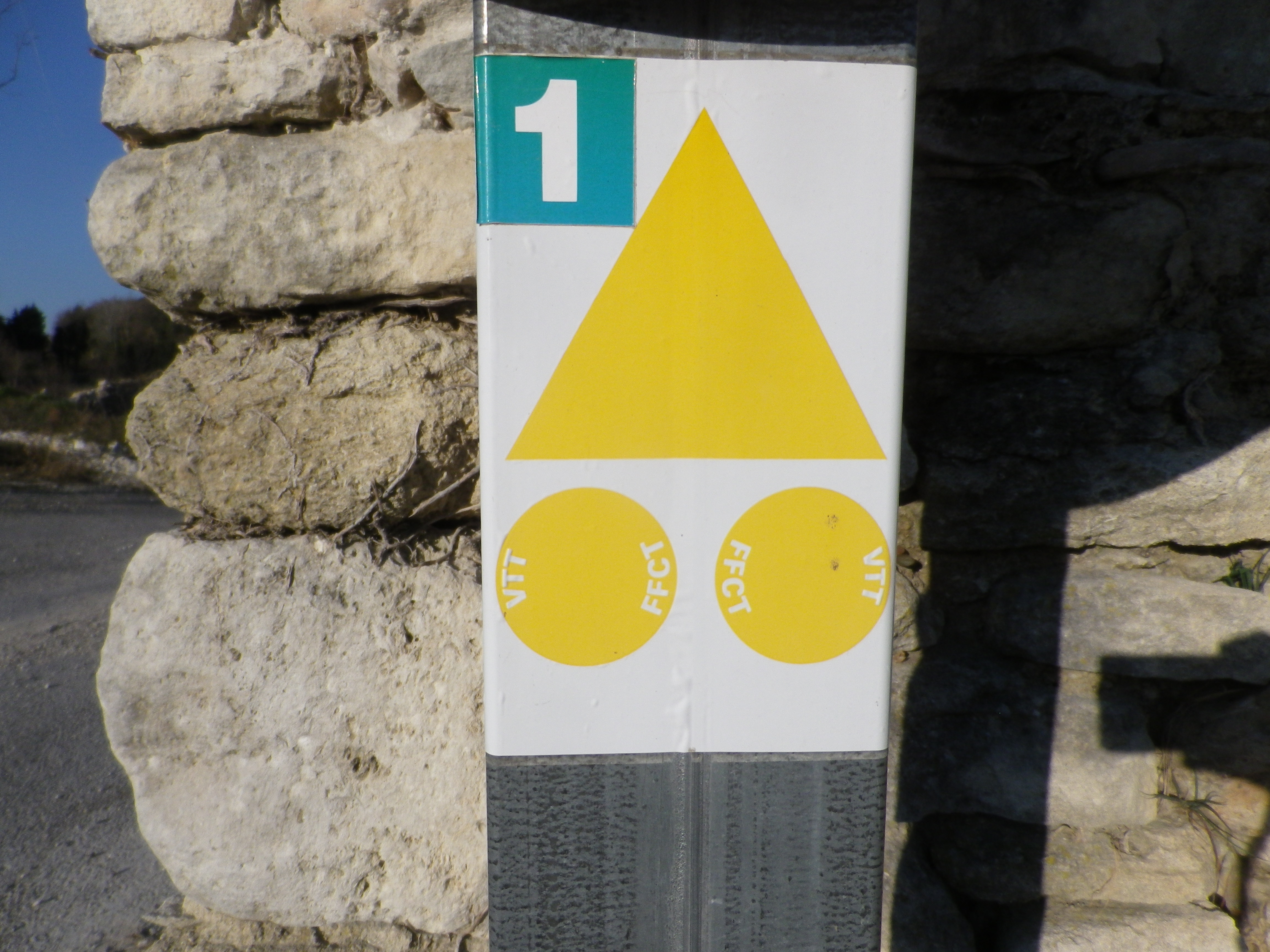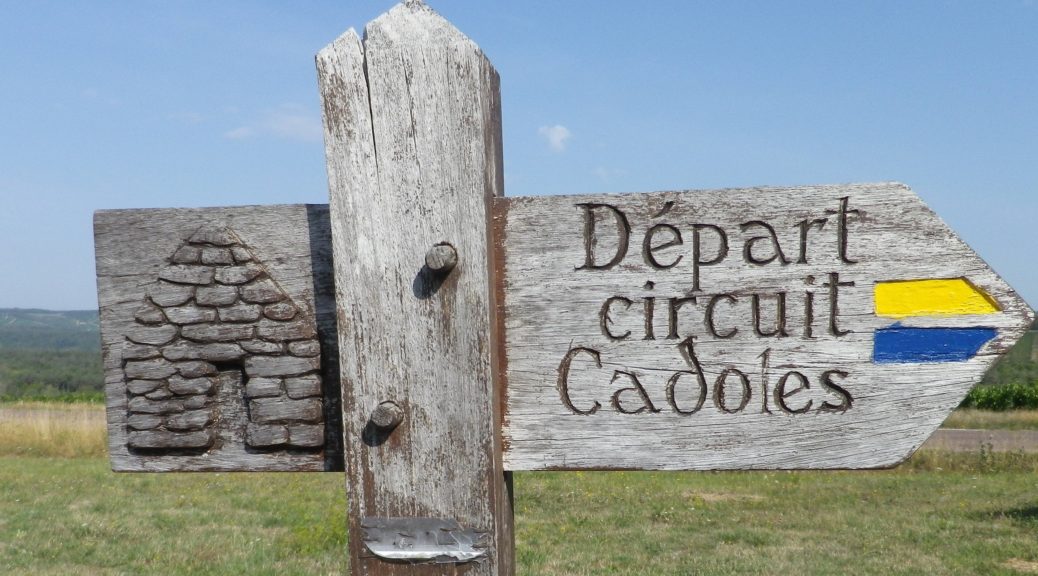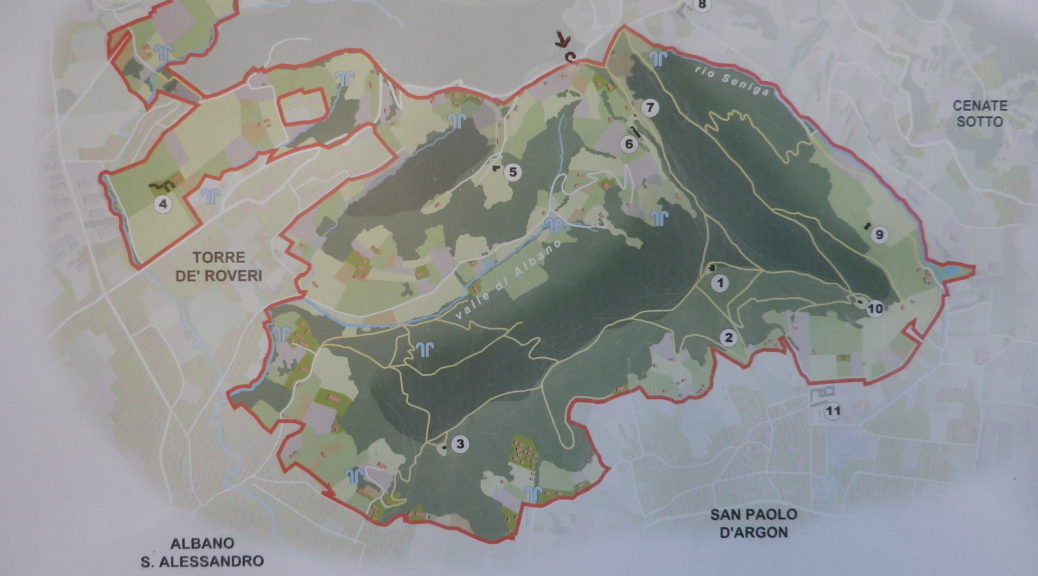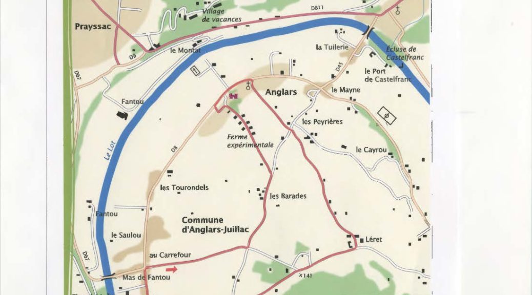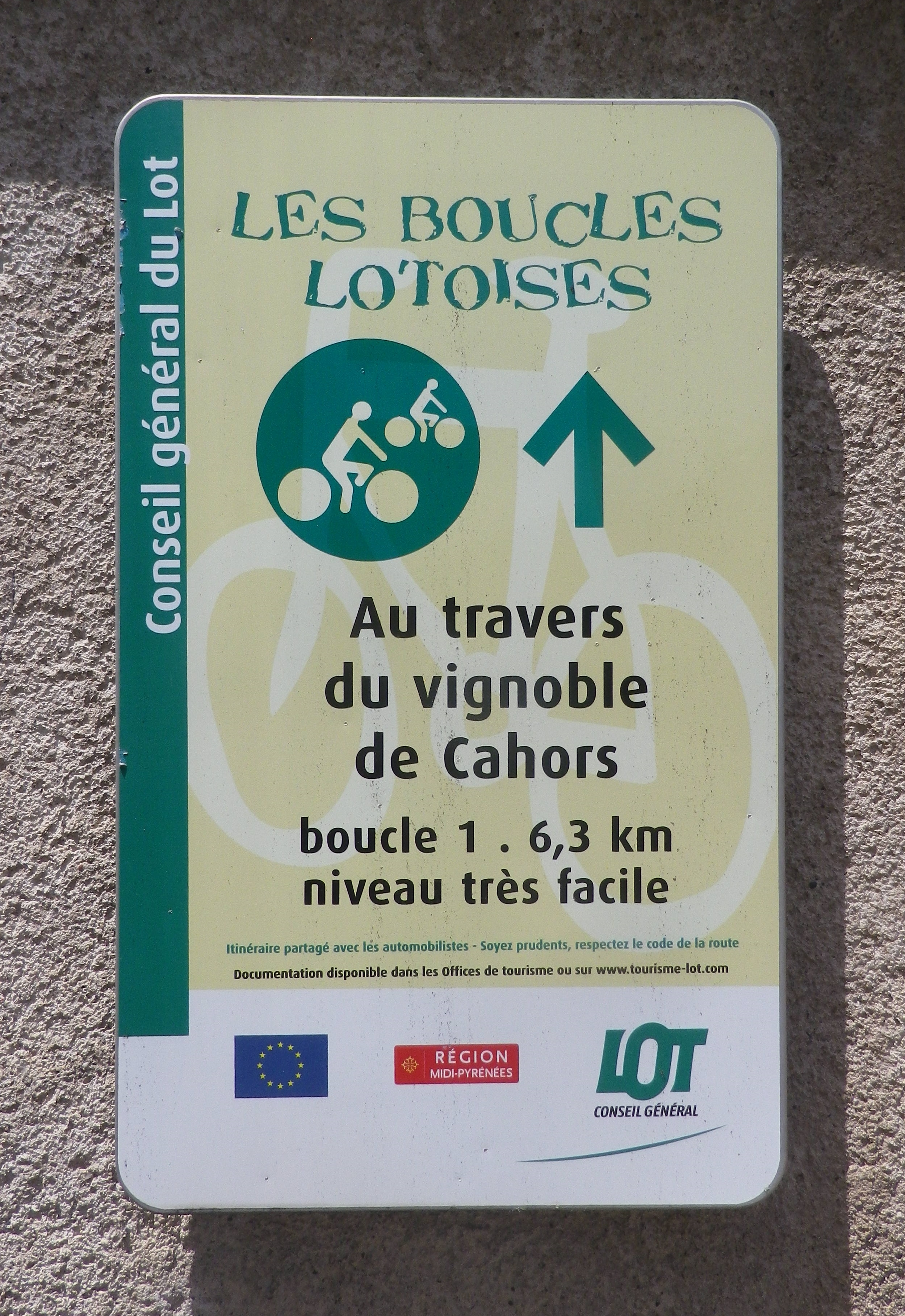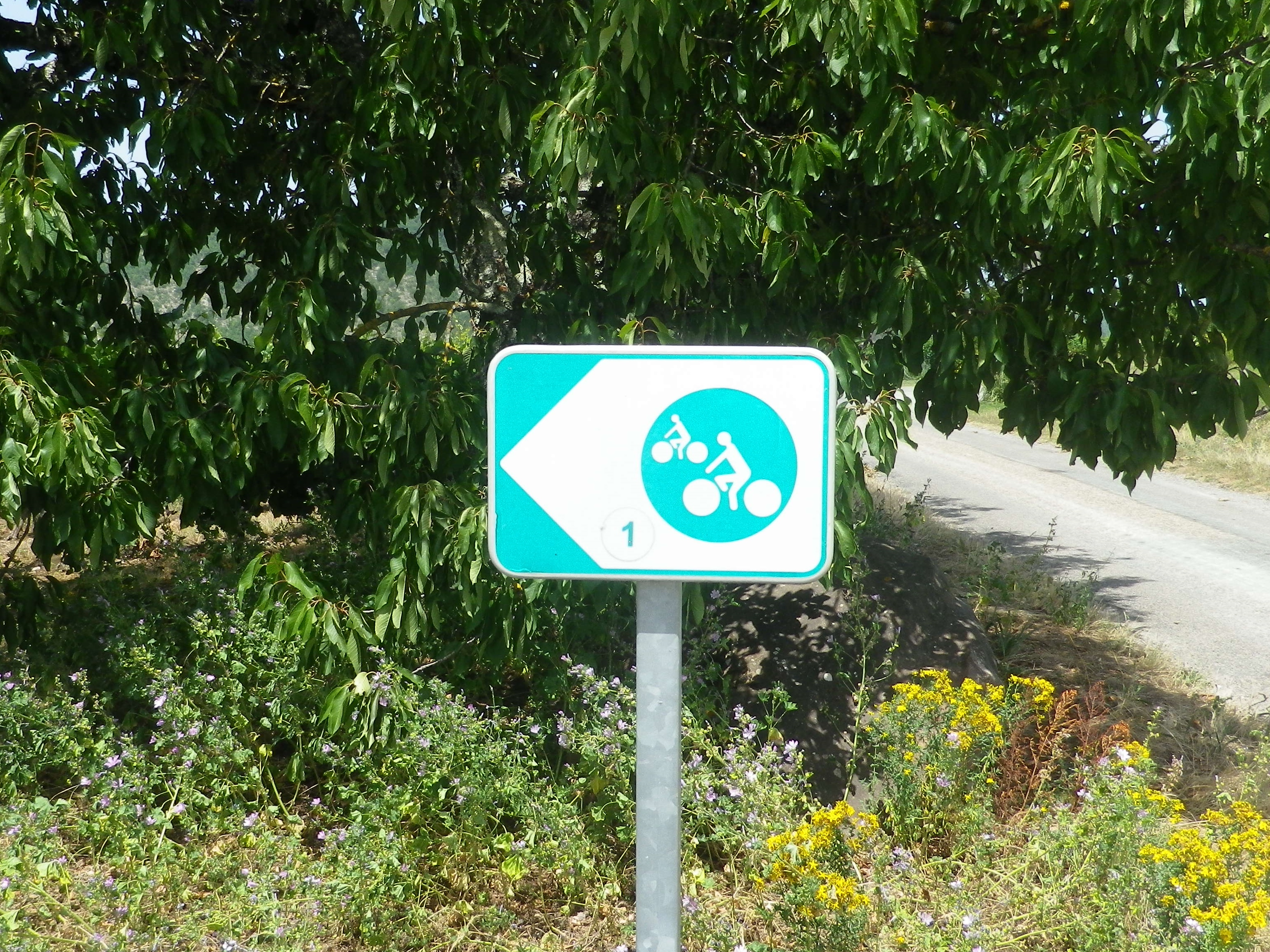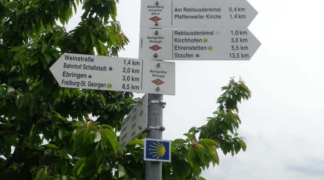
Trail Name: Des Vignes et Cabanes
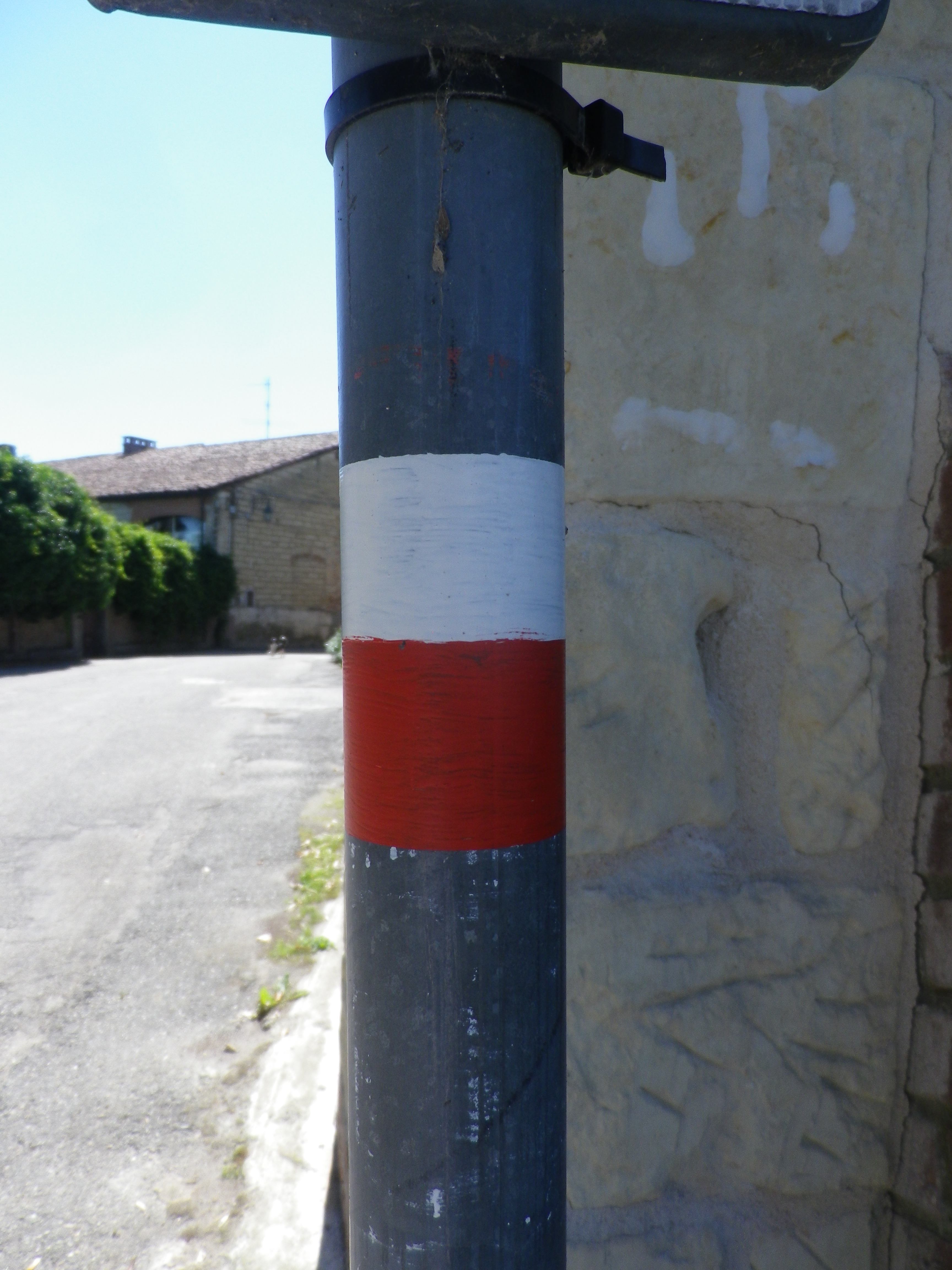
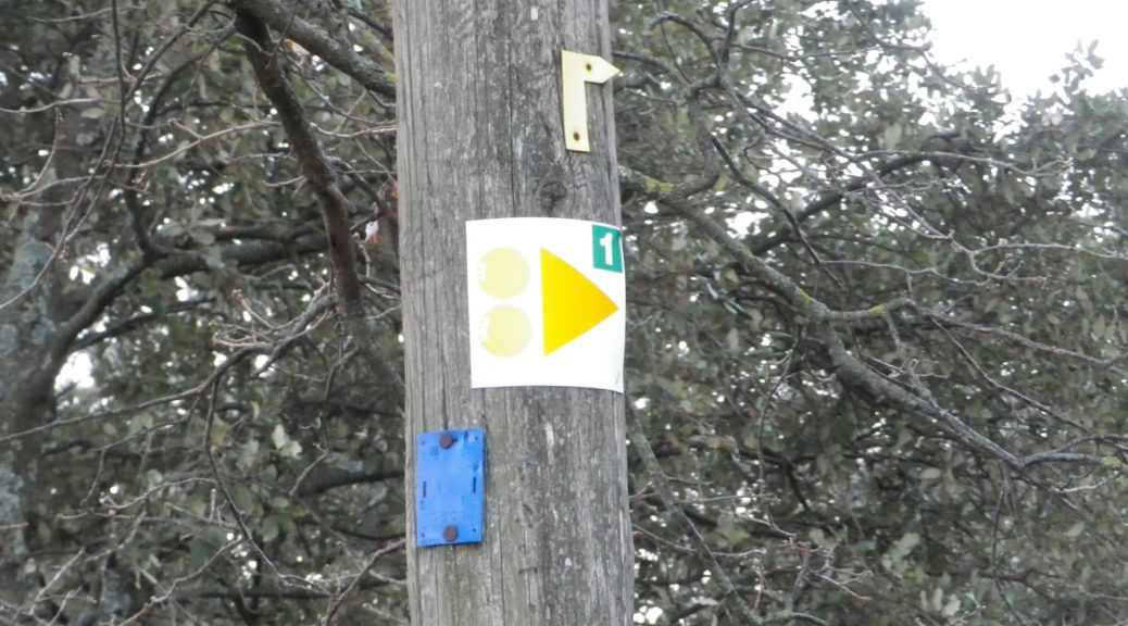
Trail Type: Short-distance circuit (for hiking and biking); well-maintained and almost exclusively paved or hard-packed surfaces; marking on the trail fairly good. See comments below.
Length: 8.95 kilometers/5.5 miles
Convenient to: Montelimar, France
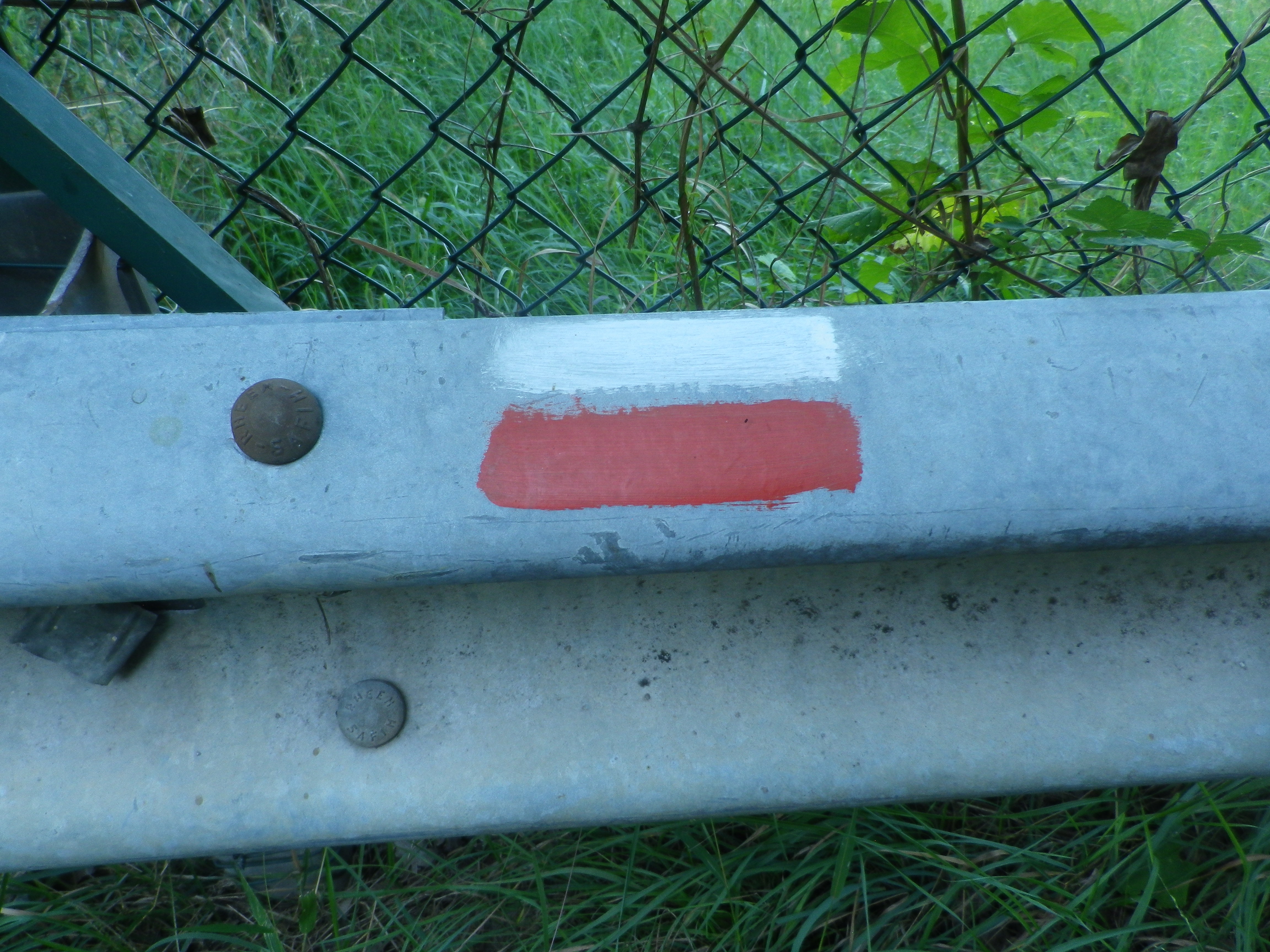
Marking: Either VTT 1, or just 1