Trail Name: Weinbergsweg
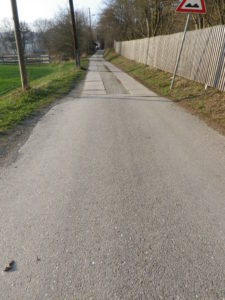
Trail Type: Mid-distance circuit; well-maintained and much of it paved; marking on the trail good
Length:
Total – 10.2 kilometers/6 miles
Convenient to: Bad Koesen (see comments below), or Naumburg, Saxony-Anhalt, Germany
Marking:
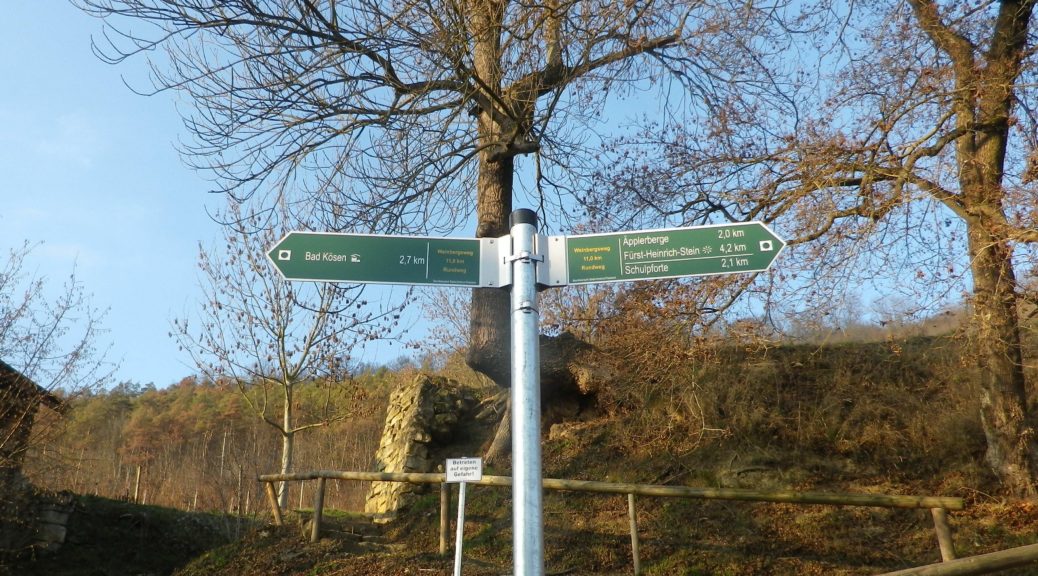
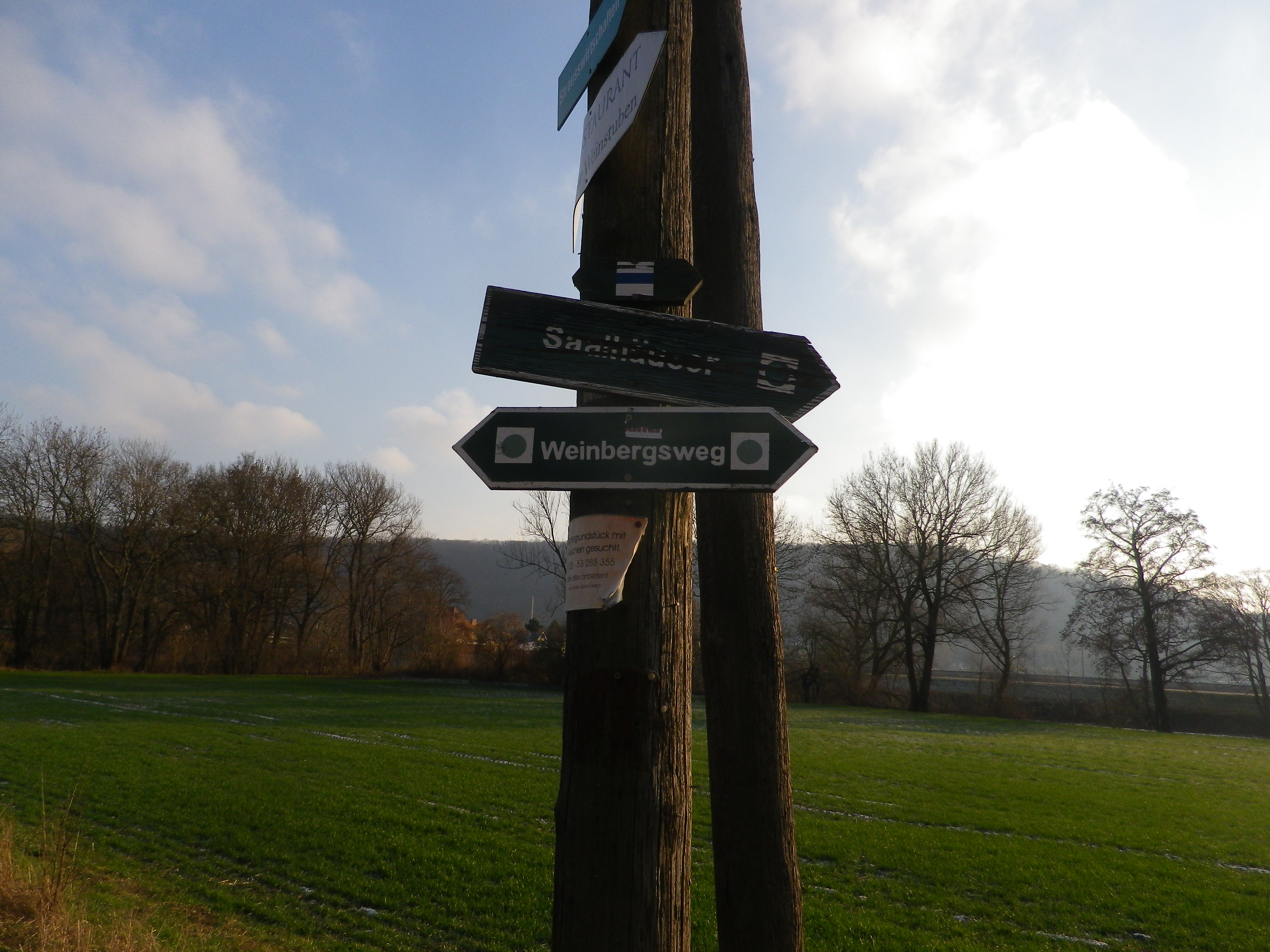
Rectangular signs with green background and white lettering “Weinbergsweg” Below is an older version of the signage, still found in places, and the feature photograph above displays the newer signage.
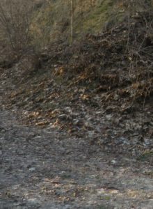
Trail Description: A pleasant, easy circuit trail, mostly flat, through a variety of landscapes (forest, vineyard, river, town), easy for families or large group with divergent hiking/walking capabilities.
Trailhead:
Official: Bad Koesen: Saalstrasse
Mine: Am Fischhaus (See comments below)
Parking:
Bad Koesen: Uferstrasse, a large paved parking lot
Bad Koesen: Kirchplatz, by the church, paved lot for about 10 cars
Bad Koesen: Am Fischhaus, along the road/fields, or Am Fischhaus on a small dirt area (before the paved parking for the Fischhaus restaurant clients). From there a short walk over the river on the pedestrian bridge to join the trail.
Bad Koesen: Am Weinberge, (on the other bank opposite the Fischhaus Restaurant), a very small dirt area available for about four cars.
Public Transportation Options:
Rail: DB serves Bad Koesen with trains to and from Leipzig, Erfurt, Nuernberg (Nuremberg), and nearby Jena and Naumburg town.
Bus: Lines service Kleinjena and Naumburg town center
Suggested Stages: Not applicable
Trail Itinerary-Reference Points: (Counterclockwise)
Bad Koesen: (From Am Fischhaus) Weinberge, left onto Am Anger/Poddelgraben, then left onto a short narrow path through trees and field, left onto K2234/Poddelgraben, and left onto a hard surface road after about 100 meters/yards, along vineyards, then into a forested area to Fuerst Heinrich Stein, then to Bluecher Stein, through mostly wooded areas, or along a treeline, to Ilskeweg to B87, then just past Friedrich Ebert Str, take the small path to the left, down to Saalstr, to follow along the river (the official start point).
Representative Trail Photos:
Restrooms:
Bad Koesen: Visitor Center (Besucherzentrum) Schulpforte, outside center Bad Koesen on B87, 500 meters off the trail, and only if during business hours.
Bad Koesen: Kurpark, either side of the park, not far from the official trailhead
Attractions on or near Trail:
Freyburg, about 14 kilometers/8.5 miles distant, has a wine museum in the Neuenburg castle. https://www.saale-unstrut-tourismus.de/en/sehenswertes/das-weinmuseum-von-sachsen-anhalt/
Freyburg also has the Rotkaeppchen Sektkellerei (Sparkling wine cellar/winery), which gives cellar tours.
Naumburg (north of the town center): Naumburger Wein und Sekt Manufaktur, also provides cellar tours.
Tasting along the Trail:
Kloster Pforta (the shop and the vineyard wine tavern), and a couple of smaller places along the trail or in Bad Koesen.
Alternative Options:
Hiking:
Weinlehrpfad Saale-Unstrut (13 km), starts by the train station in Laucha, and finishes by train station in Freyburg.
Saale Weinwanderweg, a 25-kilometer circuit trail, see the Nutshell here. (This trail also seemed, with possibly a couple of minor modifications, to be bike-able as well.)
Car: Weinstrasse Saale-Unstrut is a mapped car route taking visitors to the towns and villages prominent in wine production in this region. See https://www.weinregion-saale-unstrut.de/de/16/weinstrasse/die-weinstrasse-erleben
Additional Information:
Regional: http://www.weinregion-saale-unstrut.de/
Trail specific: https://www.outdooractive.com/de/route/wanderung/saale-unstrut/weinbergsweg-panoramaweg-bad-koesen/100595341/
Comments:
Bad Koesen is technically a part of Naumburg.
Parking was hard to come by the day I was there. So, I parked near the Am Fischhaus Restaurant, crossed the river, and proceeded counterclockwise (rather than the suggested clockwise route) due to fast lengthening shadows (bad for photographing the river).