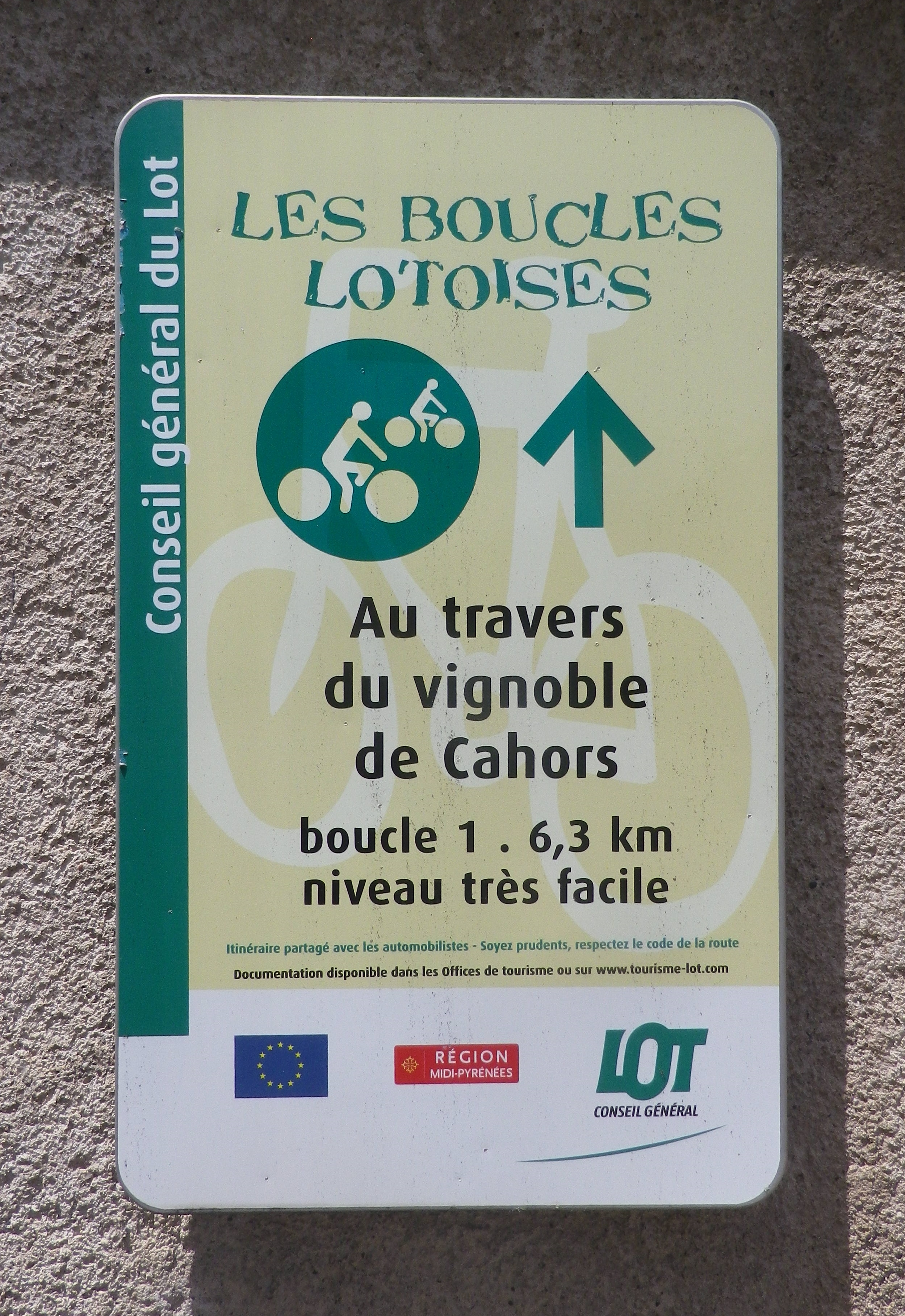
Trail Name: Au Travers du Vignoble de Cahors (AKA 1)
Trail Type: Short-distance bicycle circuit; well-maintained with hard (paved or packed earth) surfaces; marking for this itinerary is very good.
Length:
Total – 6.3 kilometers/3.9 miles
Convenient to: Cahors
Marking:
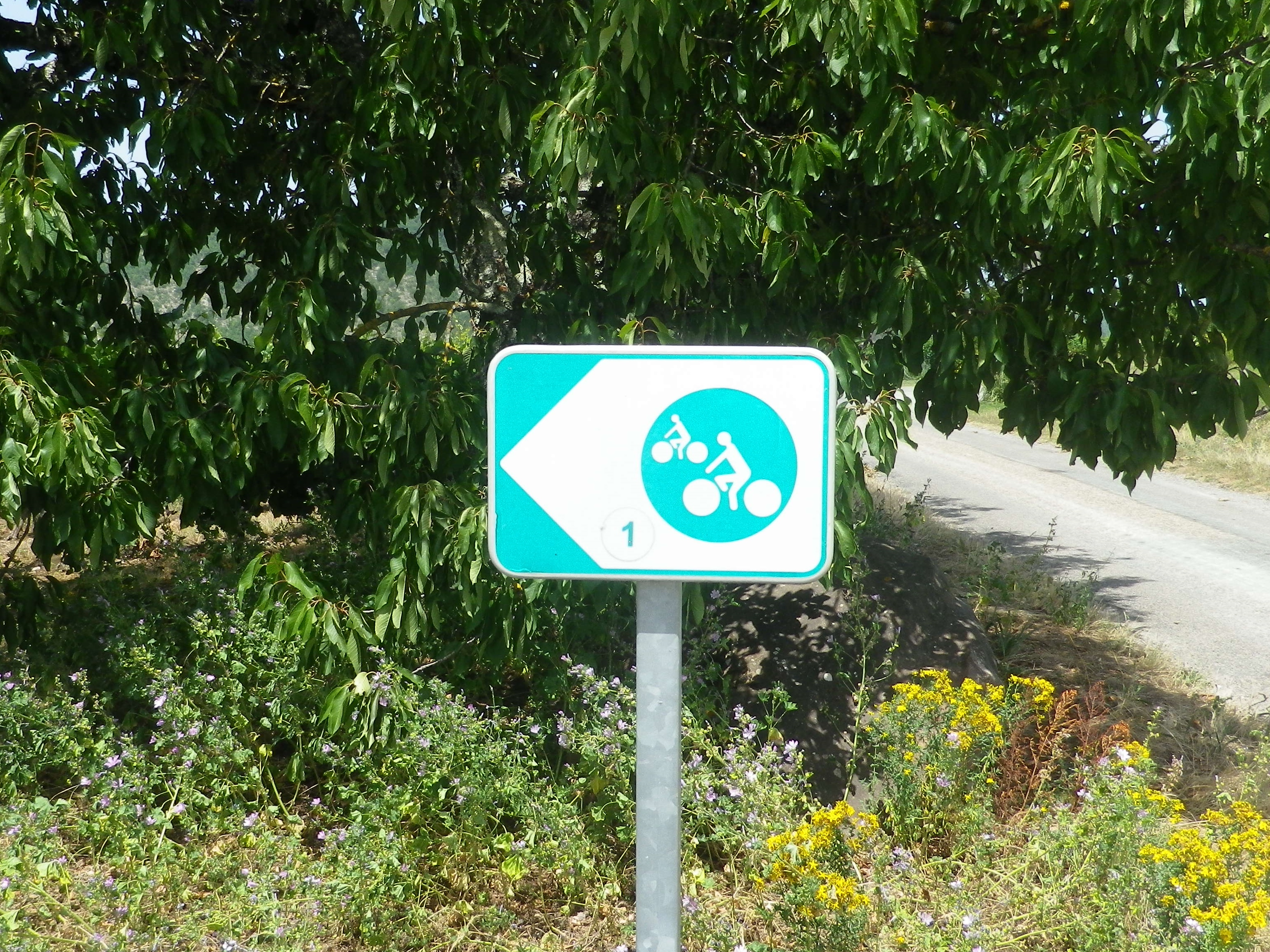
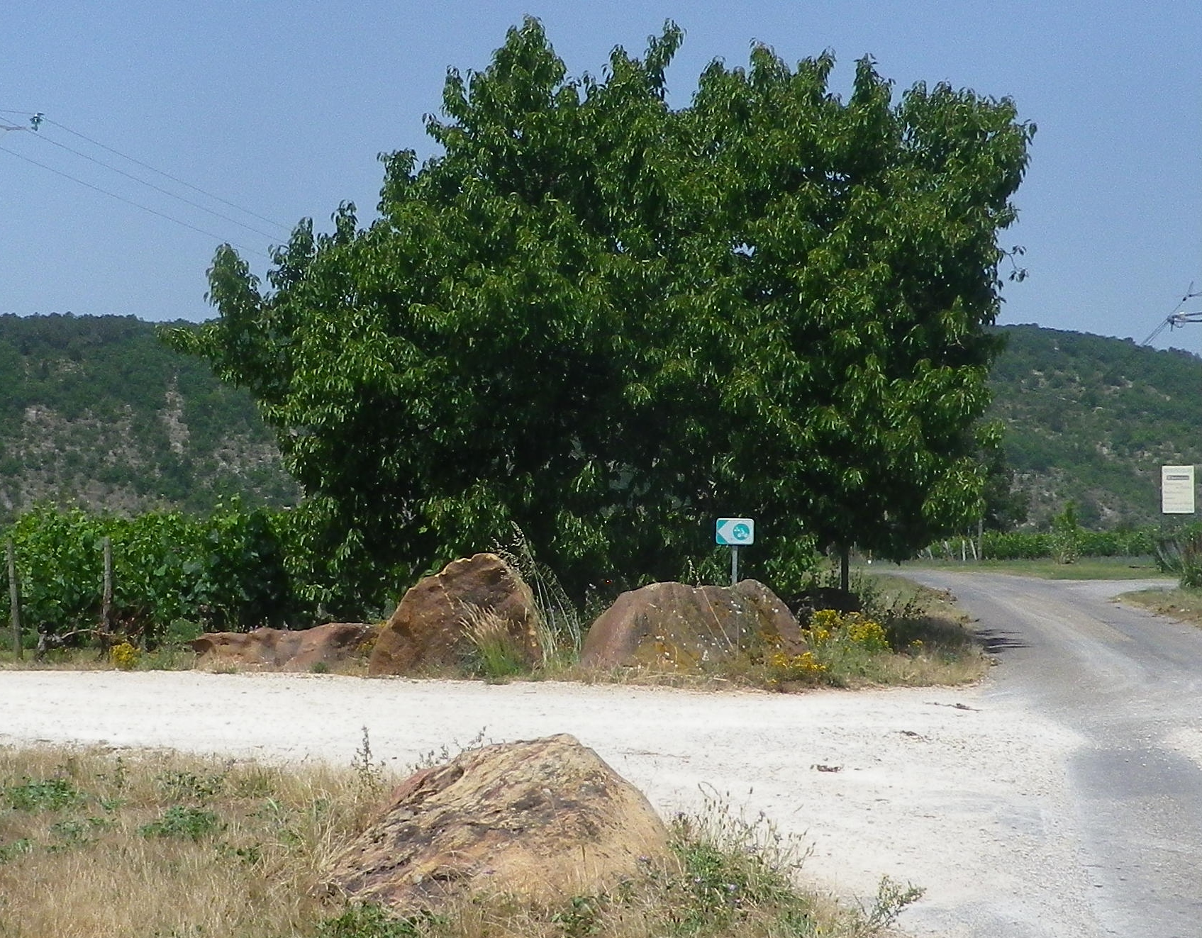
Very well marked, if following clockwise, by rectangular green and white signs with a white stylized bicycle and rider, and a named trail sign in black lettering at the start. (See comments.)
Trail Description:
This is a very easy trail designed for biking with young family members in mind. The surfaces are hard and smooth, mostly tarmacked, with some “white” roads (literally compacted dirt roads that are white due to the light soil color), and lanes that are very little travelled (especially once off the two short sections on D8). It is mostly flat, and passes through vineyards and hamlets, in a quiet, relaxing country atmosphere.
Trailhead:
Official: Anglars-Juillac: D8 x Le Palais (from the tree shaded parking area)
Parking:
Anglars-Juillac: small tree shaded parking area D8 x Le Palais
Public Transportation Options:
Train: Cahors has the closest station in this area, with good connections from the north (Paris) and south (Toulouse)
Bus: Not recommended due to infrequency.
Suggested Stages:
Not applicable
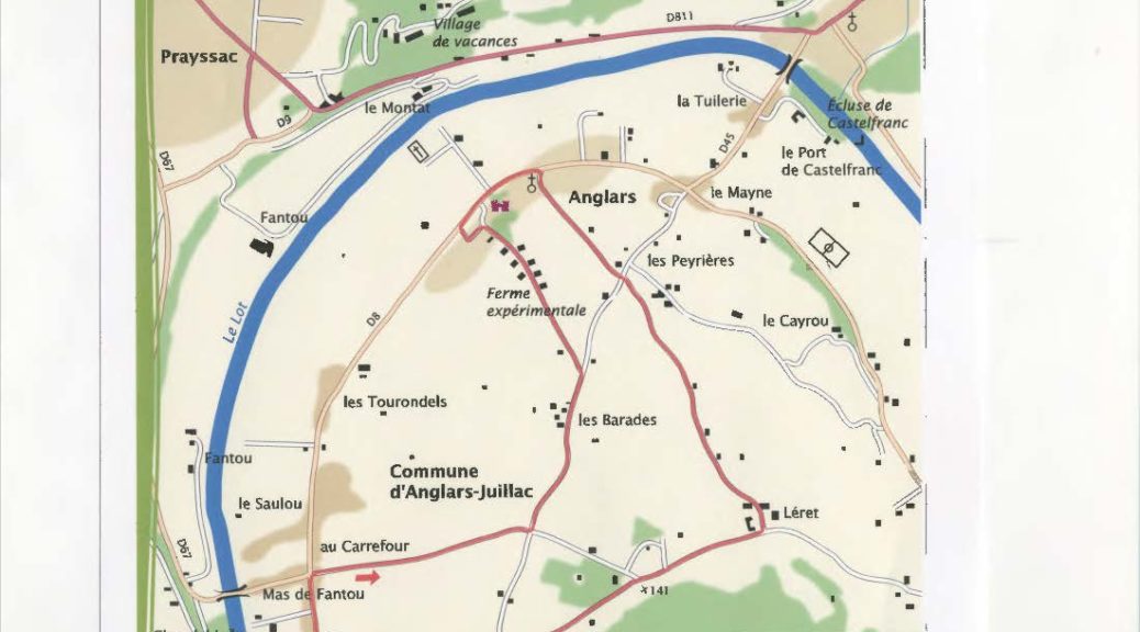
Trail Itinerary-Reference Points: (Clockwise)
Anglars-Juillac: D8 x Le Palais (from the tree shaded parking area), head north along D8 for about 1.5 kilometers (about one mile), turn right at the intersection opposite D67’s junction with D8. Continue on straight towards Les Peyrieres. Turn left at 4-way intersection. Vere left at Y-intersection, toward the experimental farm. Pass the wine shop, and head toward Camp Bas/D8. Head east on D8, passing Chateau d’Anglars, for about 1 kilometer. Turn right into hamlet, and keep left at Y-intersection, following Les Granges straight through first intersection to Leret. Turn right after passing through the settlement. Continue straight, about 1 km, onto a road known as Le Palais, back to start point on D8.
Representative Trail Photos:
Restrooms:
None observed
Attractions on or near Trail:
Vinoltis, co-located with the tourism office in the nearby town of Puy l’Eveque (itself a fascinating small town), provides visitors an opportunity not only to taste, but also to learn about the terroir, the trades involved in wine production, the varietals and the history of wine in the Cahors appellation.
Tasting along the Trail:
Several opportunities from the several wineries on or near the trail.
Alternative Options:
Hiking: A 14-kilometer long circuit hike, Vignes et Vergers, has a variety of landscapes (riverine, vineyard, forest, orchards), in a moderately challenging climb from the old center of Caillac to the hills above it, and back to the start.
Cycling: Parnac is a similar circuit trail called Sur la Route des Vignes (On the Vineyard Route/4). It is even closer to Cahors than the Anglars – Juillac circuit. It is about 1.5 kilometers longer, a bit shadier, and a bit hillier, with what appears to be an opportunity to deviate onto a shady but slightly rougher path to follow about a short kilometer along the Lot River, if desired.
Additional Information:
Regional: https://www.cahorsvalleedulot.com/explorer/visitez-la-vallee-du-lot/
Trail specific: https://www.cahorsvalleedulot.com/itineraires/au-travers-du-vignoble-de-cahors/
Comments:
Recommended for a cool day, as there is virtually no shade along most of the trail.
In France, the rectangular green and white signs with a white stylized bicycle and rider are generic signs indicating a bike trail. The signs along this trail were mostly of this generic type, with the small addition of a number 1, to indicate this specific trail