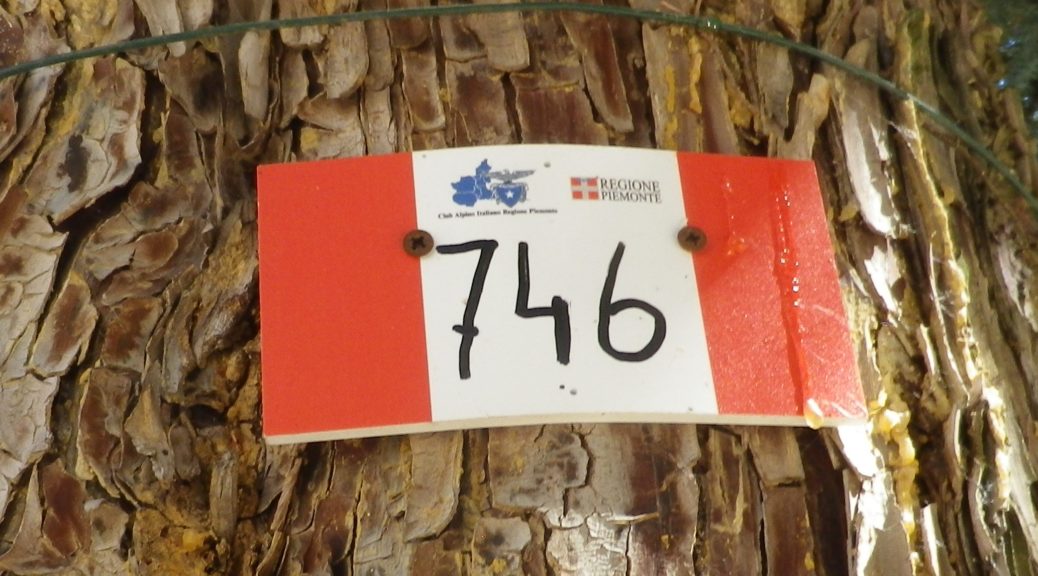
Trail Name: Valle dei Frati; AKA: CAI 746
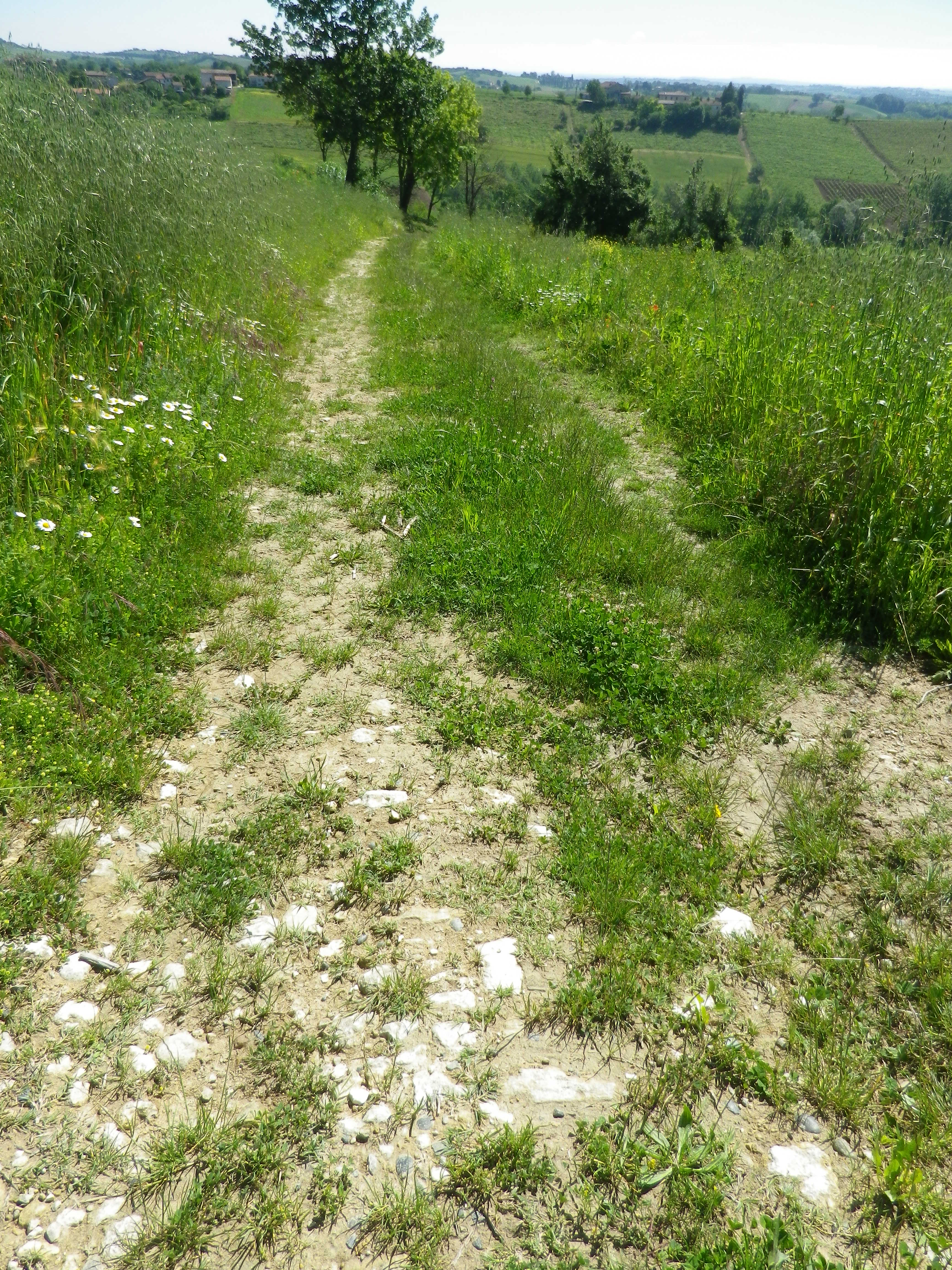
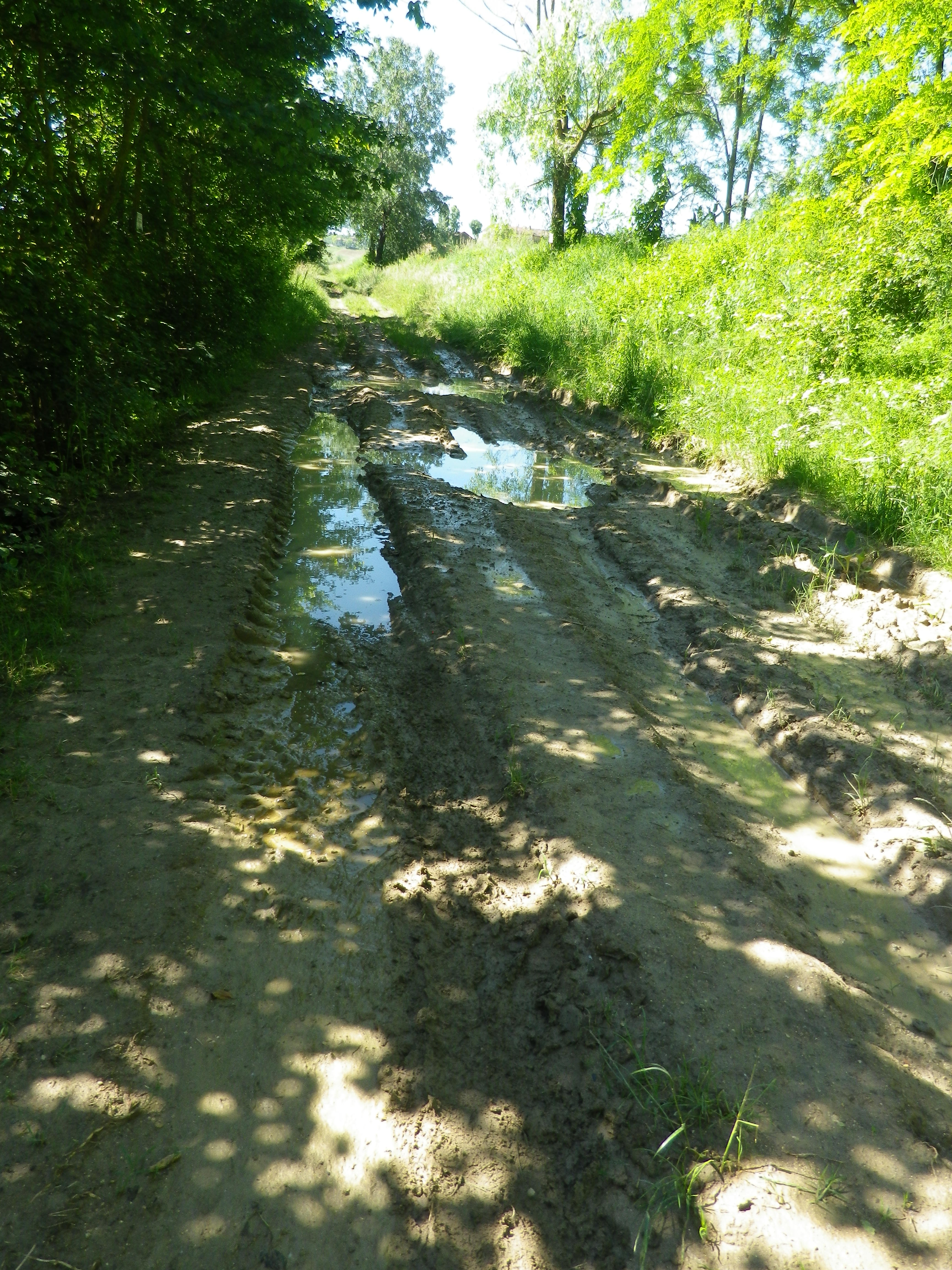
Trail Type: A short distance circuit trail; well-maintained and almost exclusively hard-packed surfaces, from tarmac to grassland, although there were a couple of small muddy grassland spots; the trail is fairly well marked.
Length:
Total – 8 kilometers/4.97 miles
Convenient to: Casale Monferrato, or Asti, Piedmont, Italy
Marking:
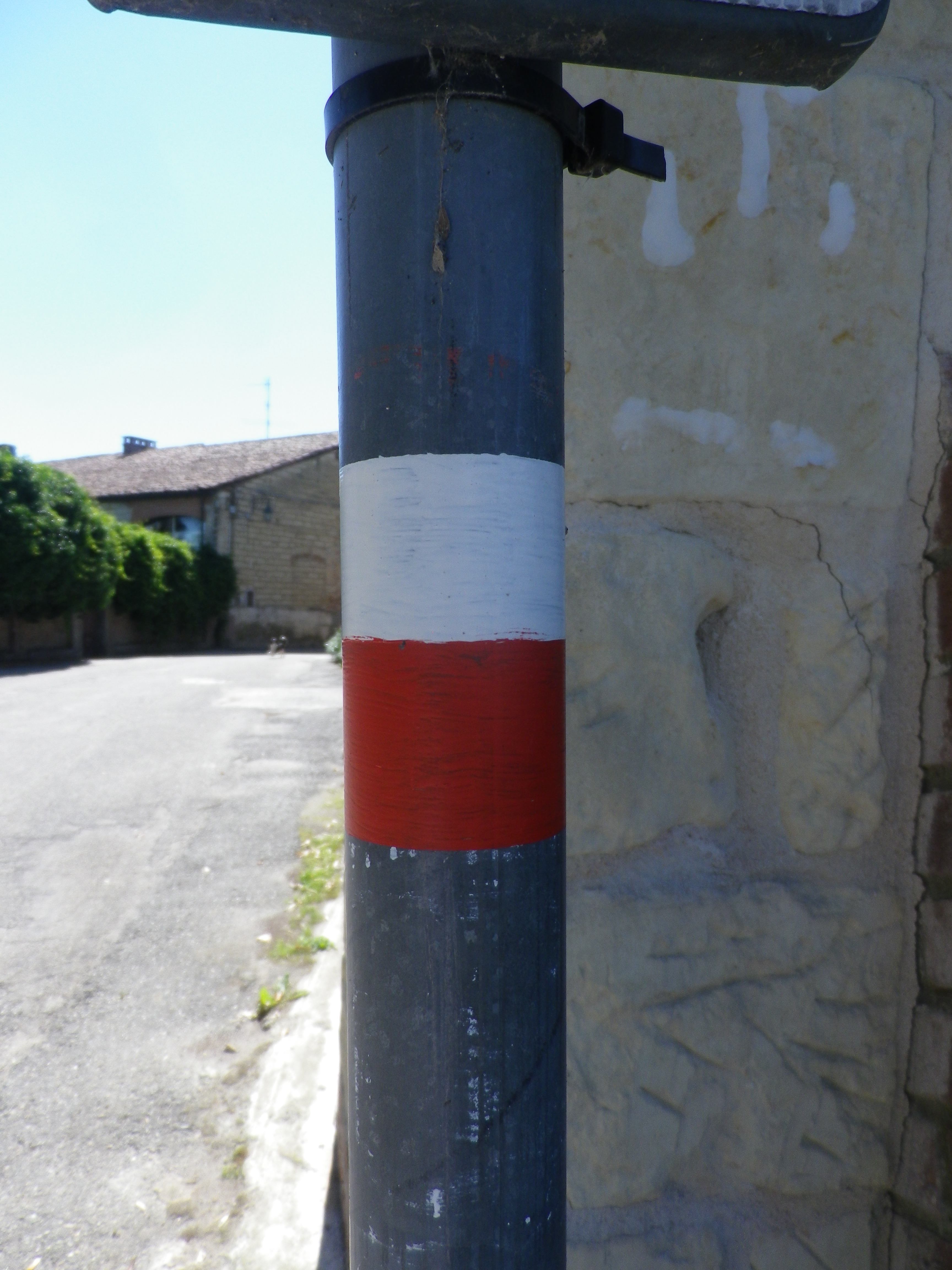
Red and white horizontal (or vertical) bars, and/or words “CAI 746” (Also see featured photo above.)
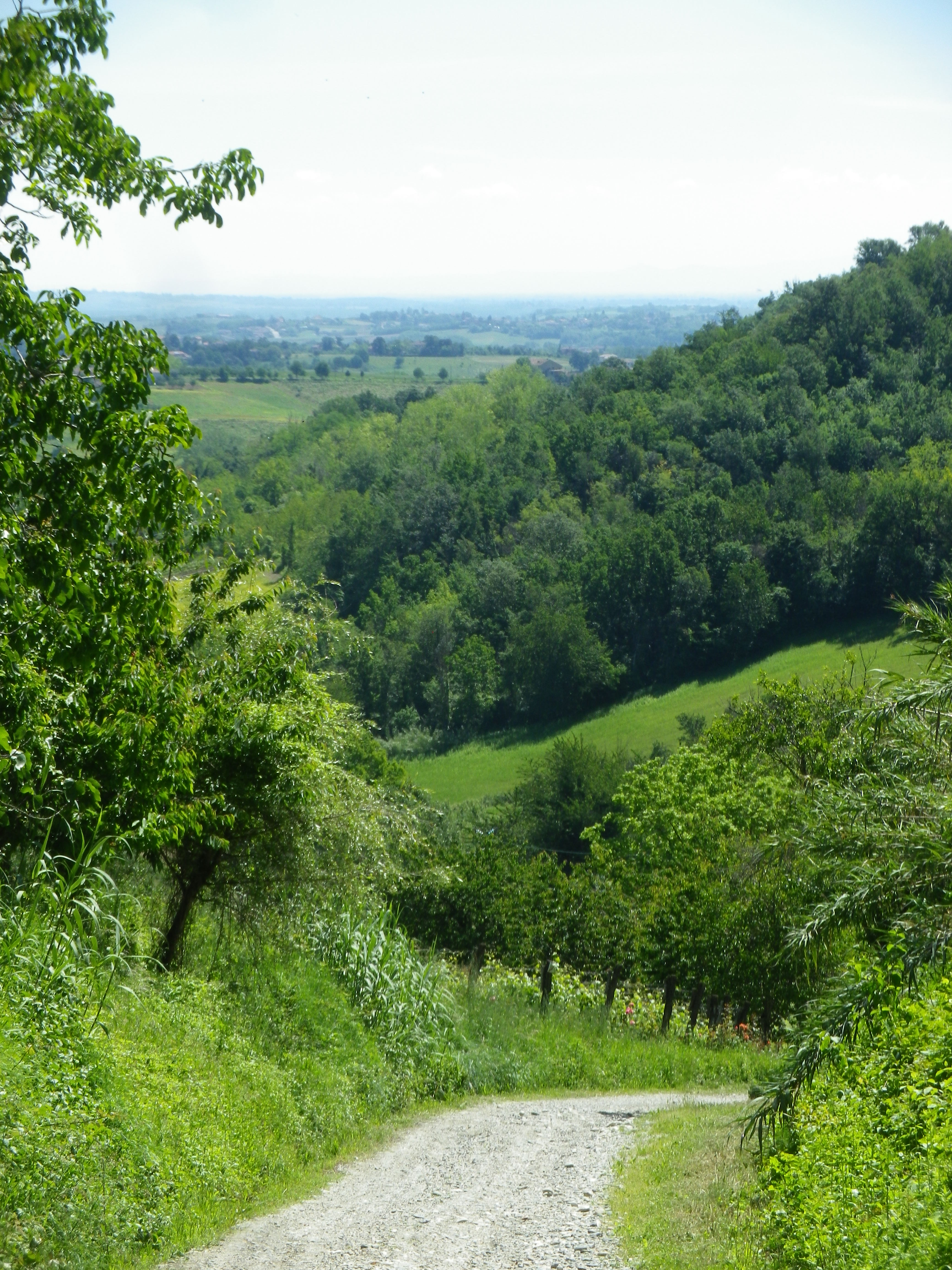
Trail Description: A short but pleasant, and not very difficult, trail along the hills and dales of this quiet section of Monferrato, with a fair amount of variety in the terrain, the flora, and in the scenery, ranging from idyllic to dramatic.
Trailhead:
Ottiglio: Via Mazza/SP37
Parking:
Ottiglio: Via Mazza. Parallel parking along some sections of the street
Moleto: Strada Comunale Moleto/SP 42, parking lot for about 12 cars (best bet, usually)
Public Transportation Options:
Rail: None
Bus: Not suggested as service is not very frequent
Suggested Stages: Not applicable
Trail Itinerary-Reference Points: (Counterclockwise)
Ottiglio: SP37, keep V Pozzoltre on the left as you pass it, Strada Comunale San Giacomo-Croce (road with sign for Prera Monsaietto), going right at tri-section on Strada Comunale Cascina Monsaietto, fields, vineyards; into forest; Moleto: SP42 to Strada Comunale Moleto, past parking at edge of hamlet, through hamlet, past oratorio; turn left at a farm house onto Strada Comunale Moleto-Curella, left at fork back to tri-section, retrace via SP37 to start point in Ottiglio
Representative Trail Photos:
Restrooms:
None observed!
Attractions on or near Trail:
Just lots of quiet countryside, set in gently rolling hills.
Tasting along the Trail:
Ottiglio: Vinicea, Via G. Marconi; Cascina Montecchio (in a hamlet between Ottiglio and Moleto)
Alternative Options:
Hiking: About three kilometers distant, in Grazzano Badoglio, (Province of Asti), is the 8-kilometer/5-mile-long circuit named Tra I Prati e le Vigne, through the local fields and vineyards.
Biking: A trail named Nel Monferrato degli Infernot, a mid-difficultly level circuit of 25 kilometers from Cereseto, passing within a kilometer of Ottiglio, follows partly on fairly well-travelled roads past the vineyards, fields and some typical villages of this area; https://www.piemontebike.eu/en/cycle-paths/nel-monferrato-degli-infernot/06a8899ea249b76340a378624783ed46/
Additional Information:
Regional: http://www.monferrato.org/eng/
Trail specific:
https://it.wikiloc.com/percorsi-escursionismo/sentiero-746-la-valle-dei-frati-i-40-percorsi-del-camminare-il-monferrato-20863695 for map; and https://www.percorsimonferrato.com/itinerario-ottiglio-moleto-valle-dei-frati/ for information on hiking the trail
Comments:
Almost definitely need a car to get to this area, and parking is perhaps best at Moleto, in the parking lot at the Ottiglio end of the hamlet, right on the trail.