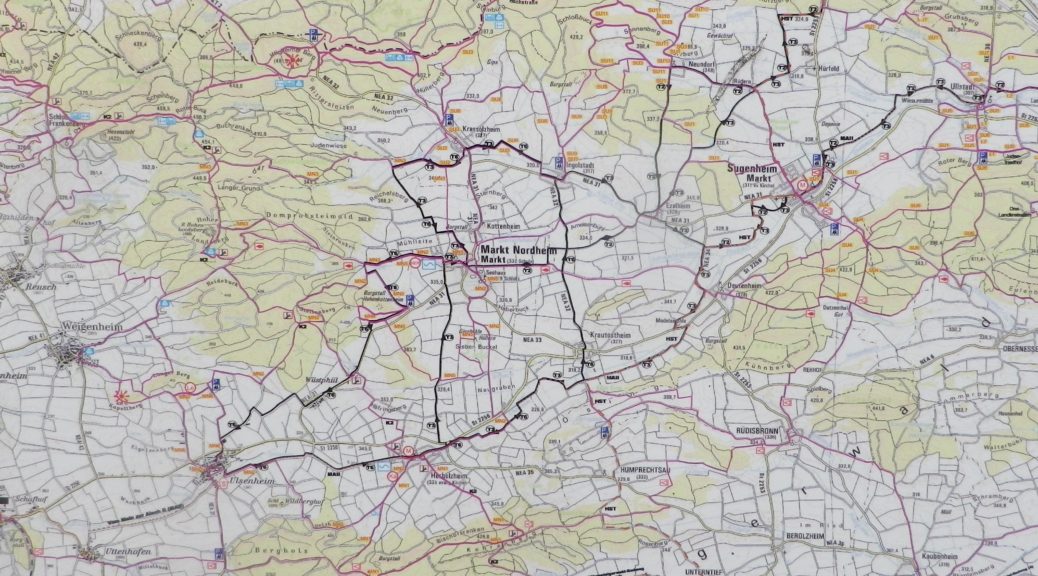
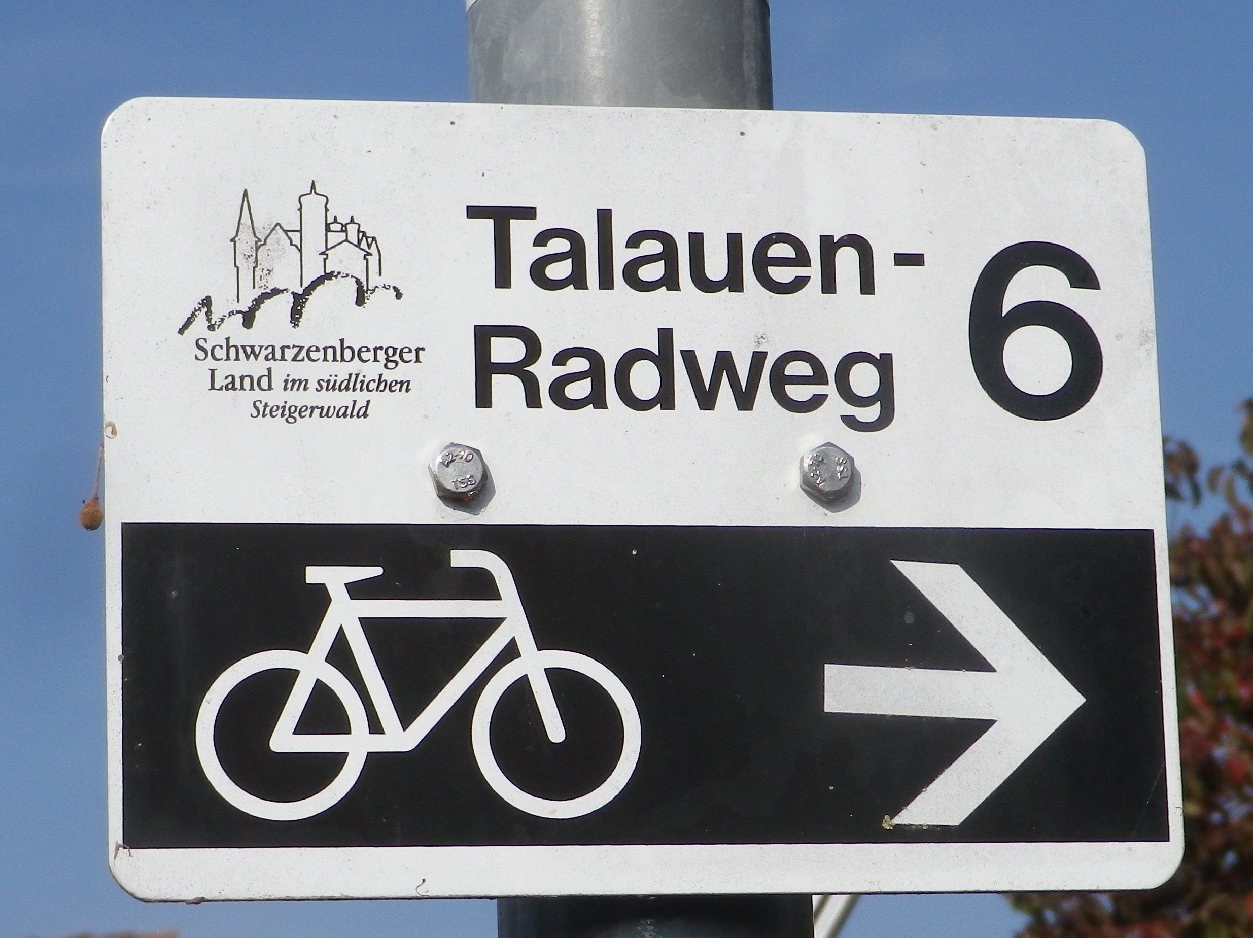
Trail Name: Talauen-Radweg, T-6; – (See also Bocksbeuteltour AKA Bocksbeutelrunde below)
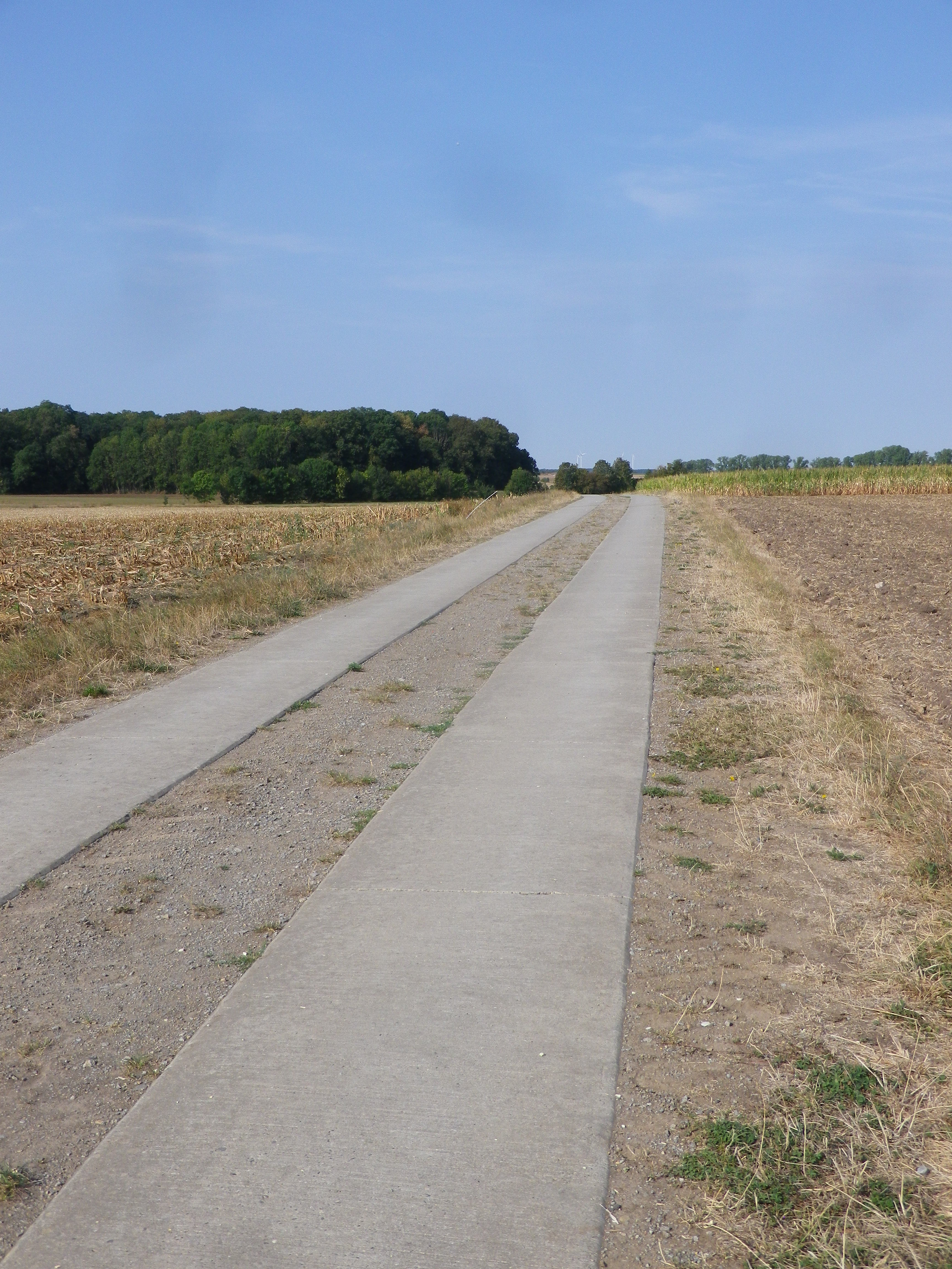
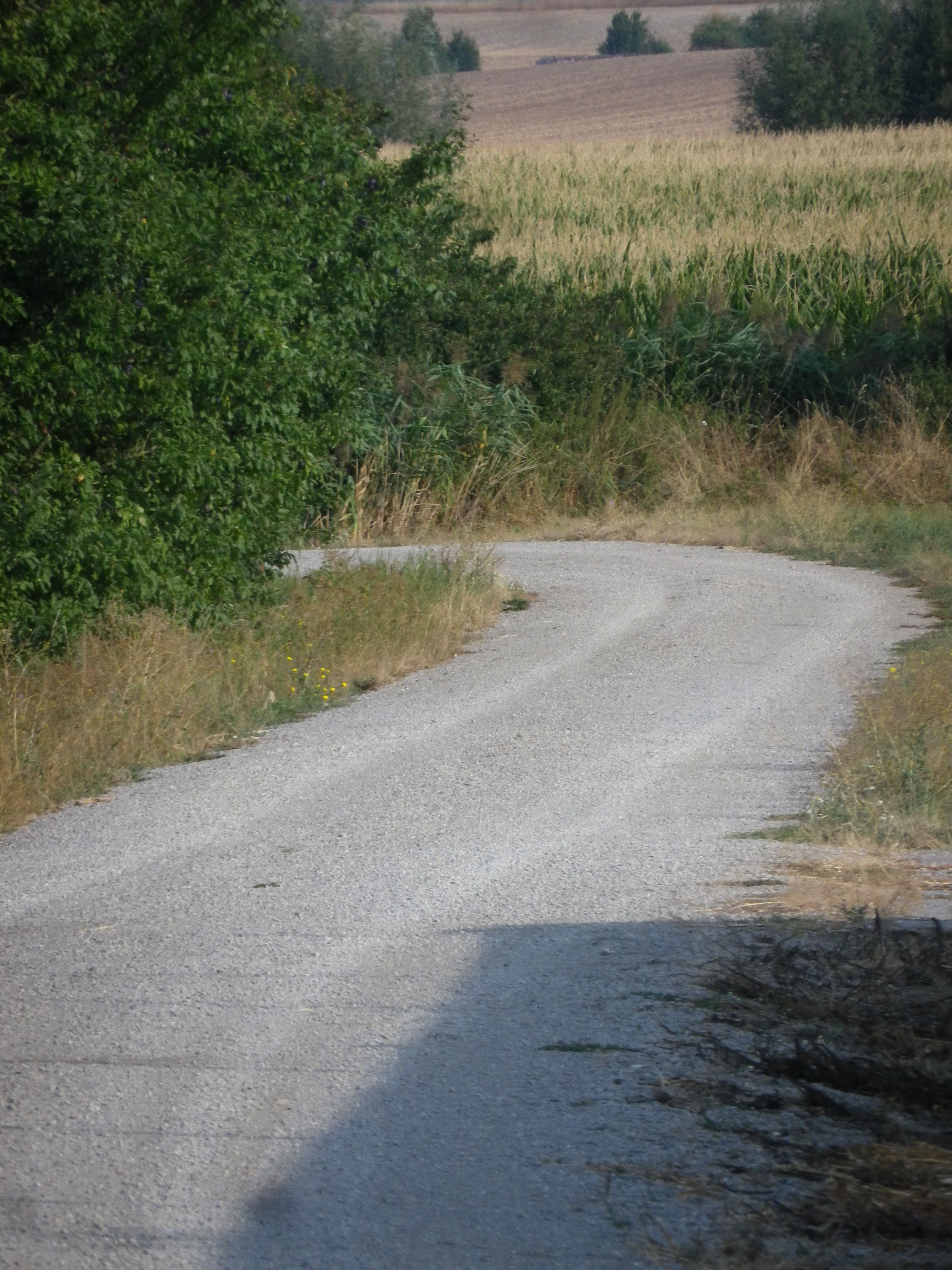
Trail Type: Middle distance; well-maintained and almost exclusively paved, marking on the trail good
Length:
Total – 26 kilometers/16 miles
Convenient to: Neustadt (Aisch) (about 35 miles northwest of Nuremberg), Bad Windsheim, Germany
Marking:
Trail Description: An easy, well-maintained circuit along the fields of grain in the southern-most section of the Steigerwald hills in Franconia, Germany.
Trailhead:
Anywhere, as this is a circuit. See the itinerary points below.
Parking:
Ulsenheim, by the church or Spielplatz
Ingolstadt/Sugenheim, north of town, by the Spielplatz (play area)
Public Transportation Options:
Rail: None (Nearest station is Neustadt (Aisch))
Bus: Bus 142, from Neustadt (Aisch), has buses to and from Ingolstadt and Krassolzheim.
Suggested Stages: Not applicable
Trail Itinerary-Reference Points: (Counterclockwise)
Markt Nordheim: head west, along road paralleling the creek, turn south just before the woods, just after two little ponds, parallel the treeline; NEA31; Wuestphuel: past Winzerbauernhof Felbinger; fields, past chicken farms; Ulsenheim: Weingut Markus Meier, past church, past Spielplatz, pond on the Gollach; fields; Herbolzheim: past churches in middle of village; ST2256 (10 meters), then bike trail through fields, along the Ehebach; Krautostheim: past church and cemetery, and Spielplatz; fields; Ingolstadt: main drag; fields; Krassolzheim: past Weinhof Grosch, parallel the Biegenbach
Representative Trail Photos:
Restrooms: None observed
Attractions on or near Trail: None observed
Tasting along the Trail:
Several wineries were observed, especially in Ulsenheim, and a couple in Ingolstadt and Krassolzheim; with a nice wine pub at the Heckenwirtschaft Zum Alten Kuhstall, in Markt Nordheim
Alternative Options:
Biking: A challenging mountain bike circuit, 34.6 km/21.5 miles, “Ruinen, Tuerme und Weinberge,” leads through Markt Nordheim and Krassolzheim
Additional Information:
Regional: https://www.steigerwaldtourismus.com/
Trail specific: https://www.komoot.com/tour/197075763 (See comment below!)
Comments:
Talauen Radweg 6 (T 6), the smaller cycling route I followed, appears to be an old tour which has no online references to it. Hence, no link to map or GPX coordinates. Instead, the Komoot link above references the Bocksbeutelrunde, the longer route I originally found, the northeast corner of which follows all but the southern leg of the smaller circuit trail that I completed. But except for this one link, the Bocksbeutelrunde, too, no longer has any references online. (Beware of like-named others though). However, signs for both circuits were on the ground when I was there in 2019.