Trail Name: Batzenbergrunde
Trail Type: A mid-distance circuit; well-maintained and almost exclusively hard-packed (or paved) surfaces, marking on the trail is not trail-specific
Length: 13.75 kilometers/8.5 miles
Convenient to: Freiburg im Breisgau, Germany, or Basel, Switzerland
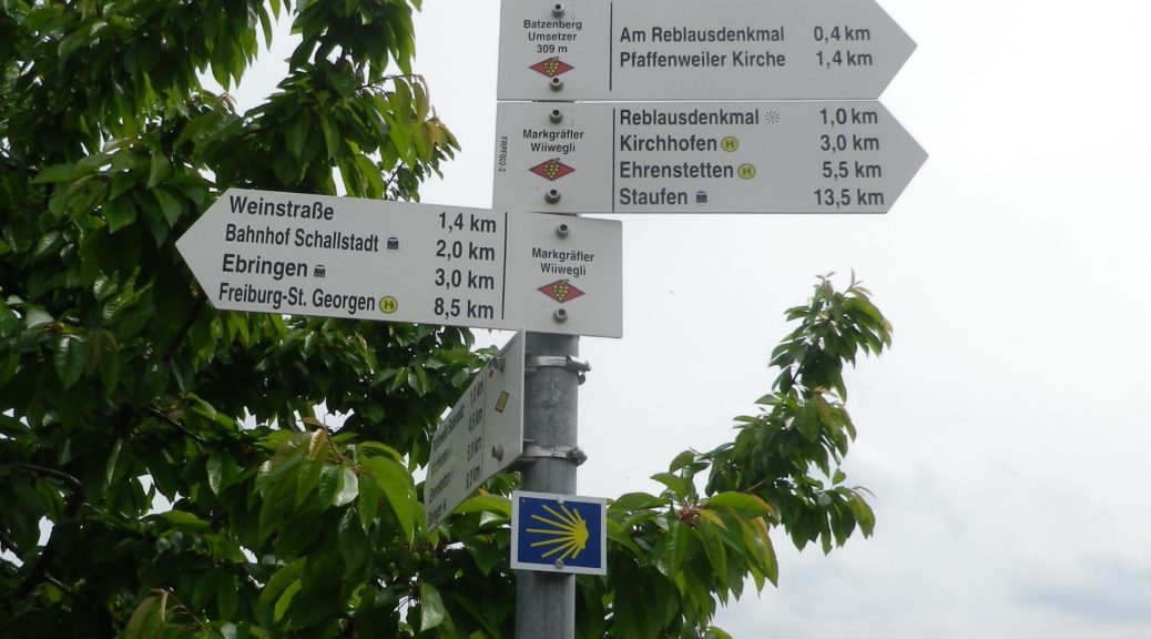
Marking:
None specific to the trail, (although I did see wooden one sign); but there were plenty of directional signs (see above).
Trail Description: A nice half-day hike, covering vineyards, forests and the town of Ehrenkirchen, on a well-developed relatively easy trail (two on a scale of five), in a quiet corner of Germany
Trailhead: Ehrenkirchen/Kirchhofen: Batzenbergstr, by the church St Mariae Himmelfahrt or Schloss Kirchhofen
Parking:
Ehrenkirchen/Kirchhofen Schlossstr, by intersection with Oberer Langer Weg (on the trail); Pfaffenweiler, by the traffic circle at the intersection of Schneckentalstr/L125 x Weinstrasse (short distance away from the trail)
Public Transportation Options:
Rail: Regional DB trains stop at Norsigen (1.3 kilometers from the trail) or Schallstadt
Bus: Local buses serve Ehrenkirchen and other nearby villages
Suggested Stages:
Not applicable
Trail Itinerary-Reference Points: (Clockwise)
Ehrenkirchen/Kirchhofen: Schlossstr, past the palace, Kaenelgarten, Lairenstr, over L125, vineyard ridge, to its highest point; Norsingen: vineyards past Artur Stoll Weg/Langass (off Alte Lindenstr) out of Norsingen; Schallstadt, Weinstr (by the Bauhof Schallstadt, by the rail station and overpass), Hengleweg, recross Schneckentalstr/L125; Ebringen: vineyards, up mountain through woods to Fuchshaldenbrunnen and a play area in the woods, follow Hohfirstweg then follow Flachslandweg to Hohbannstein, then vineyards; Kirchhofen: Berggasse
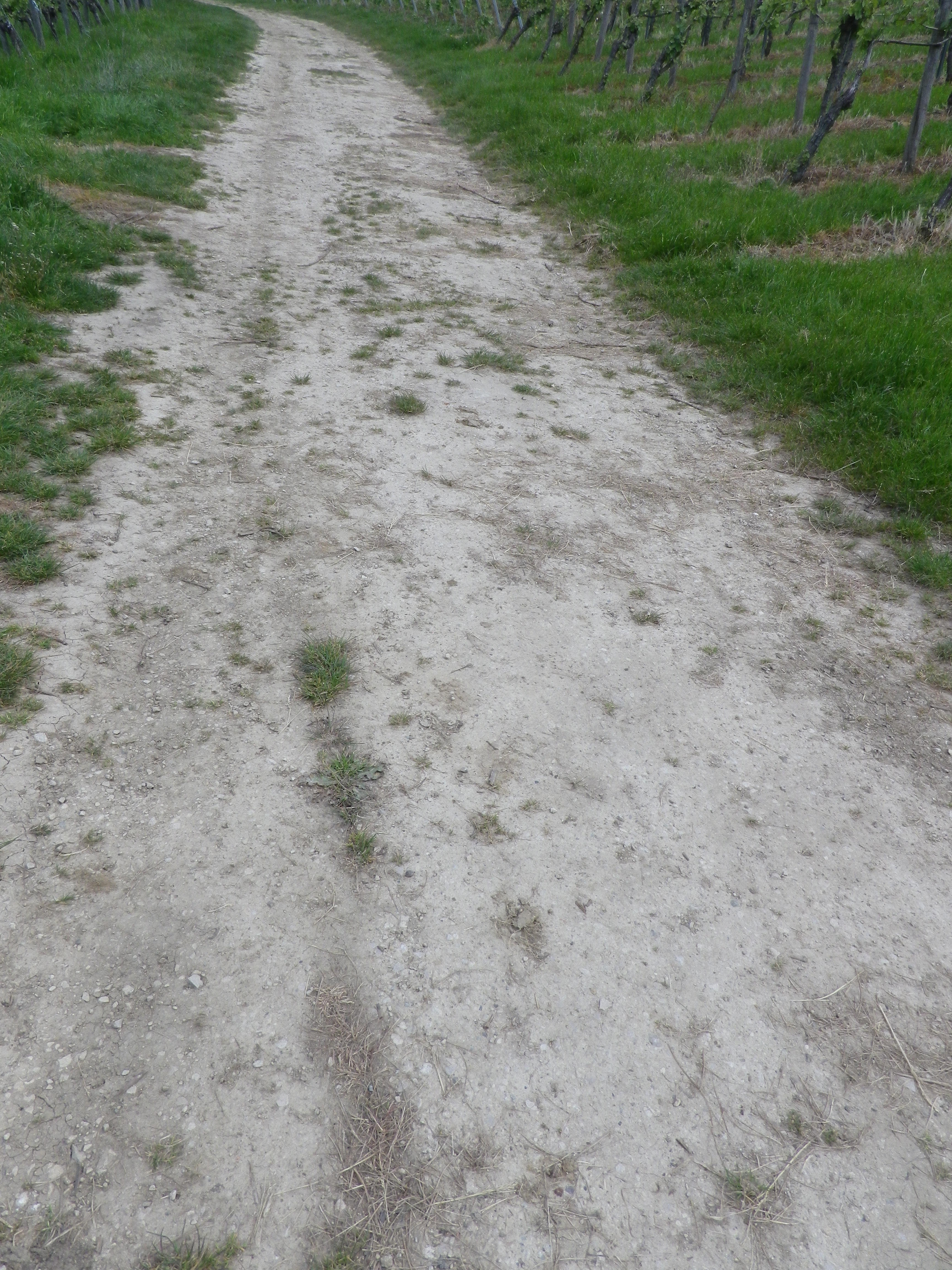
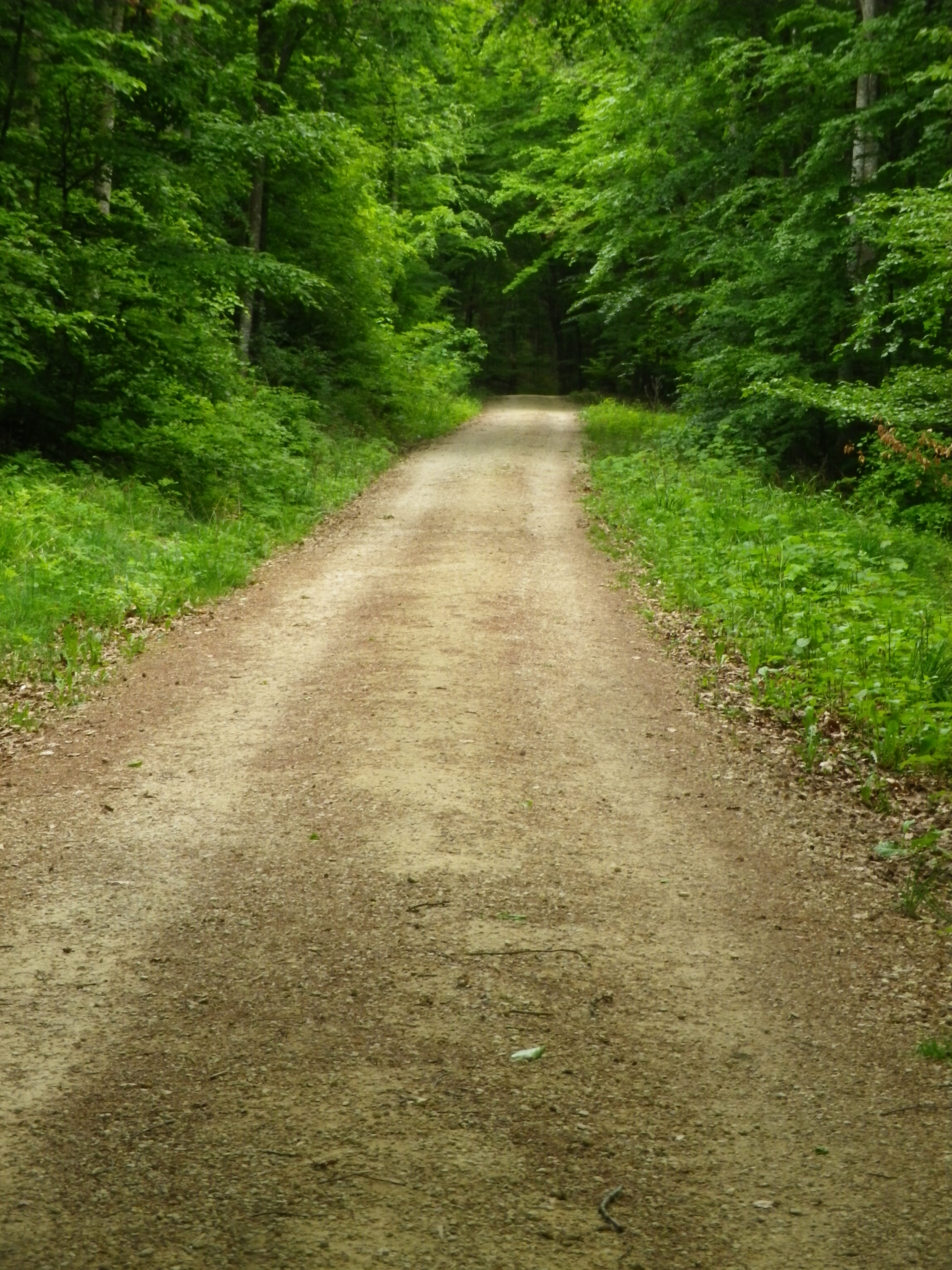
Representative Trail Photos:
Restrooms:
None observed
Attractions on or near Trail:
None
Tasting along the Trail:
Wineries off the trail are in Ehrenkirchen, Norsingen, Scherzingen, Schallstadt and Pfaffenweiler
Alternative Options:
Hiking: The 91-kilometer-long Wiiwegli is a long-distance trail through the Markgraeflerland wine district, beginning just south of the Swiss border by Basel, continuing to the outskirts of Freiburg im Breisgau. From there, it links up with two other wine district routes (one each in the Breisgau and Ortenau districts) to form one long trail from the border to Baden-Baden. Of the three, the Markgraeflerland trail was my favorite for its stunning views and peacefulness. See the Nutshell here.
Biking: The Markgraefler Rebland Radtour is a 35-kilometer-long bicycle circuit itinerary on almost exclusively paved surfaces and largely on dedicated bike paths, making this an ideal itinerary for families with teens. While a couple of the inclines are challenging, most of this itinerary is easy, through pleasant and varied landscapes, and with amazing views. See the Nutshell here.
Car: Badische Weinstrasse Car Route, covers this area and more, extending from Basel to Baden-Baden
Additional Information:
Regional: http://www.markgraefler.de/touristik/rubrikuebersicht or https://www.schwarzwald-tourismus.info/schwarzwald/regionen/markgraeflerland
Trail specific: https://www.outdooractive.com/en/route/hiking-trail/black-forest/batzenbergrunde/25850842/#dm=1
Comments:
Nice trail for a morning, to get moving and energized.
The Batzenberg segment of this trail could be hot in summer as it is fully exposed to the sun.