Category Archives: Germany

Wine Notes: Seinsheim Bullenheim


What I Learned

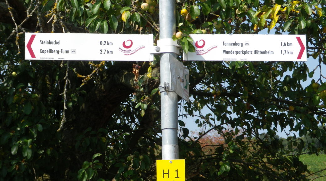
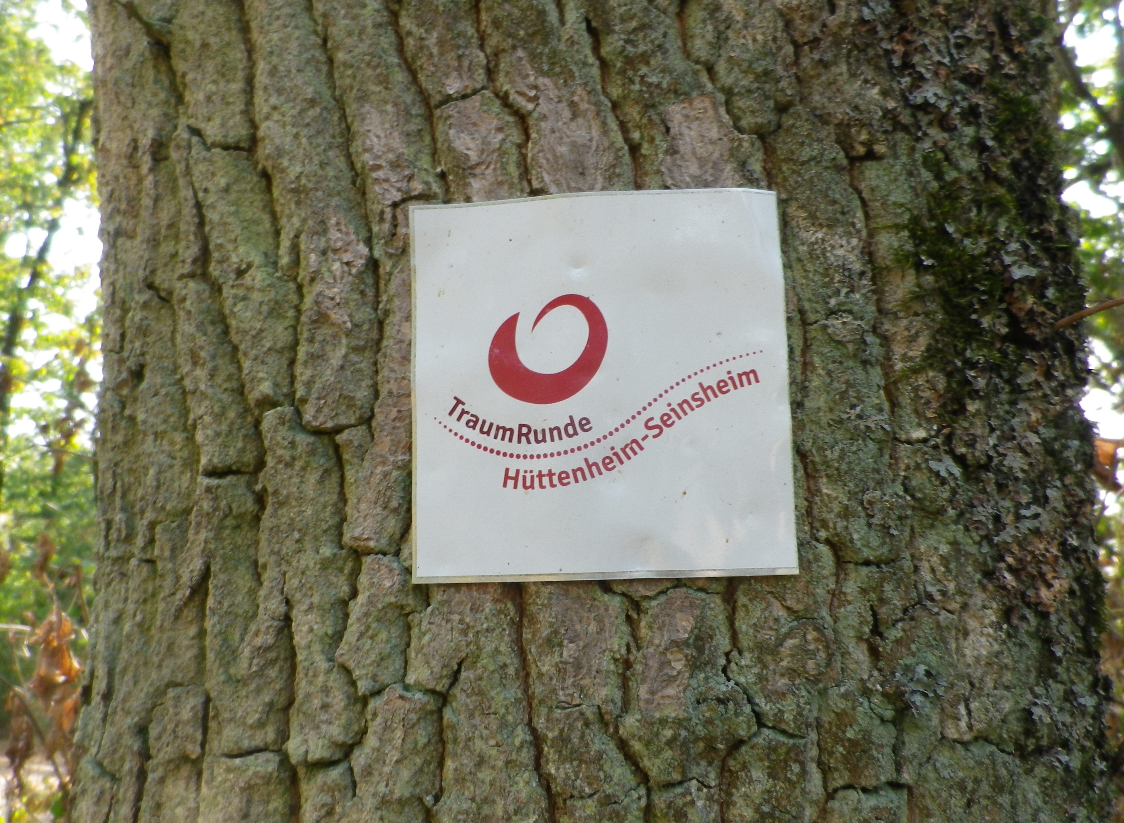
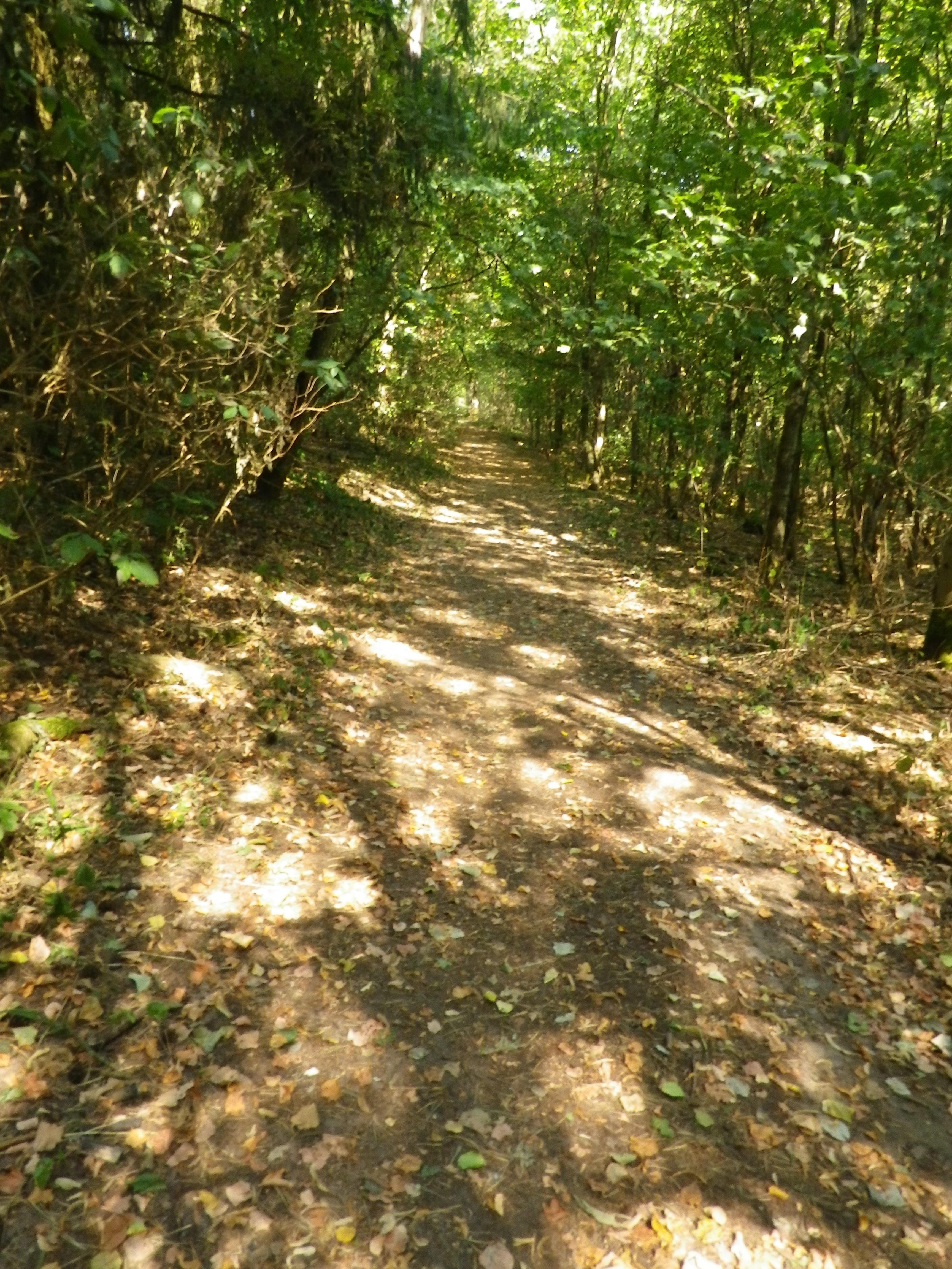
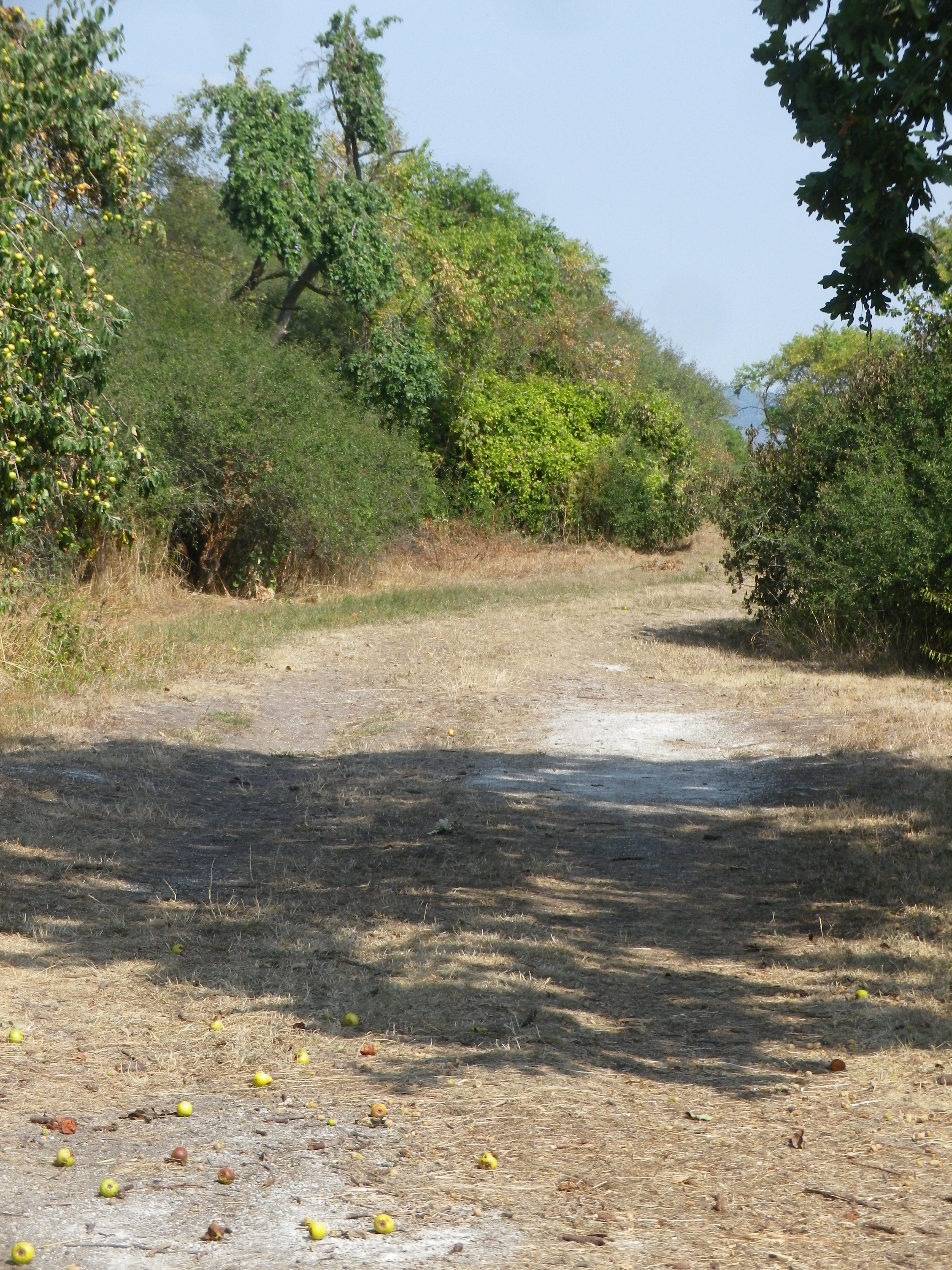
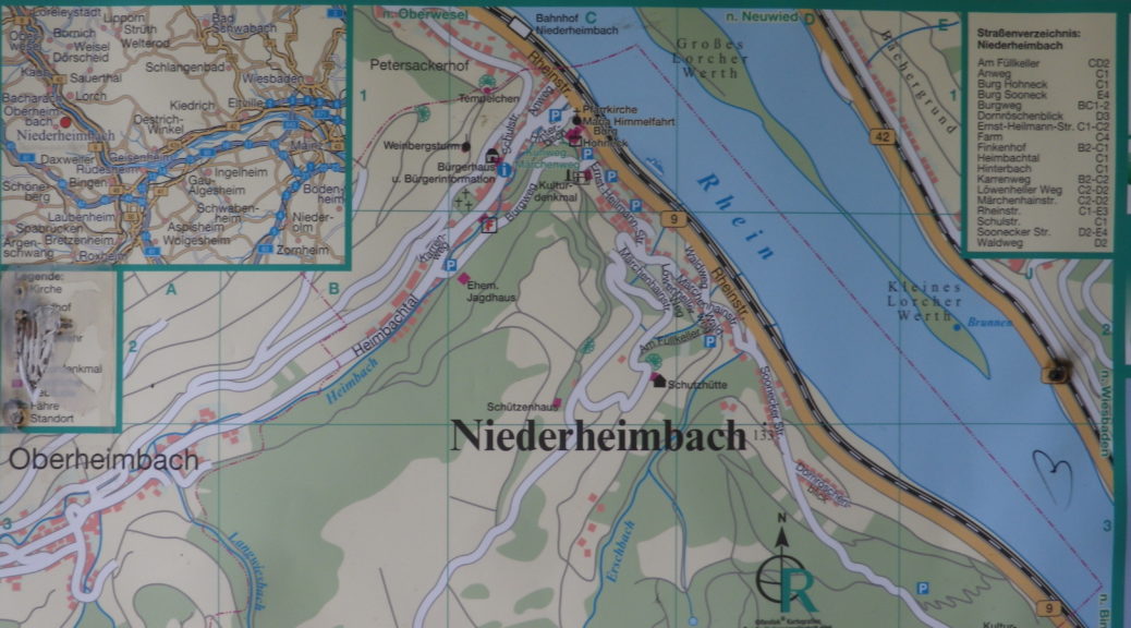
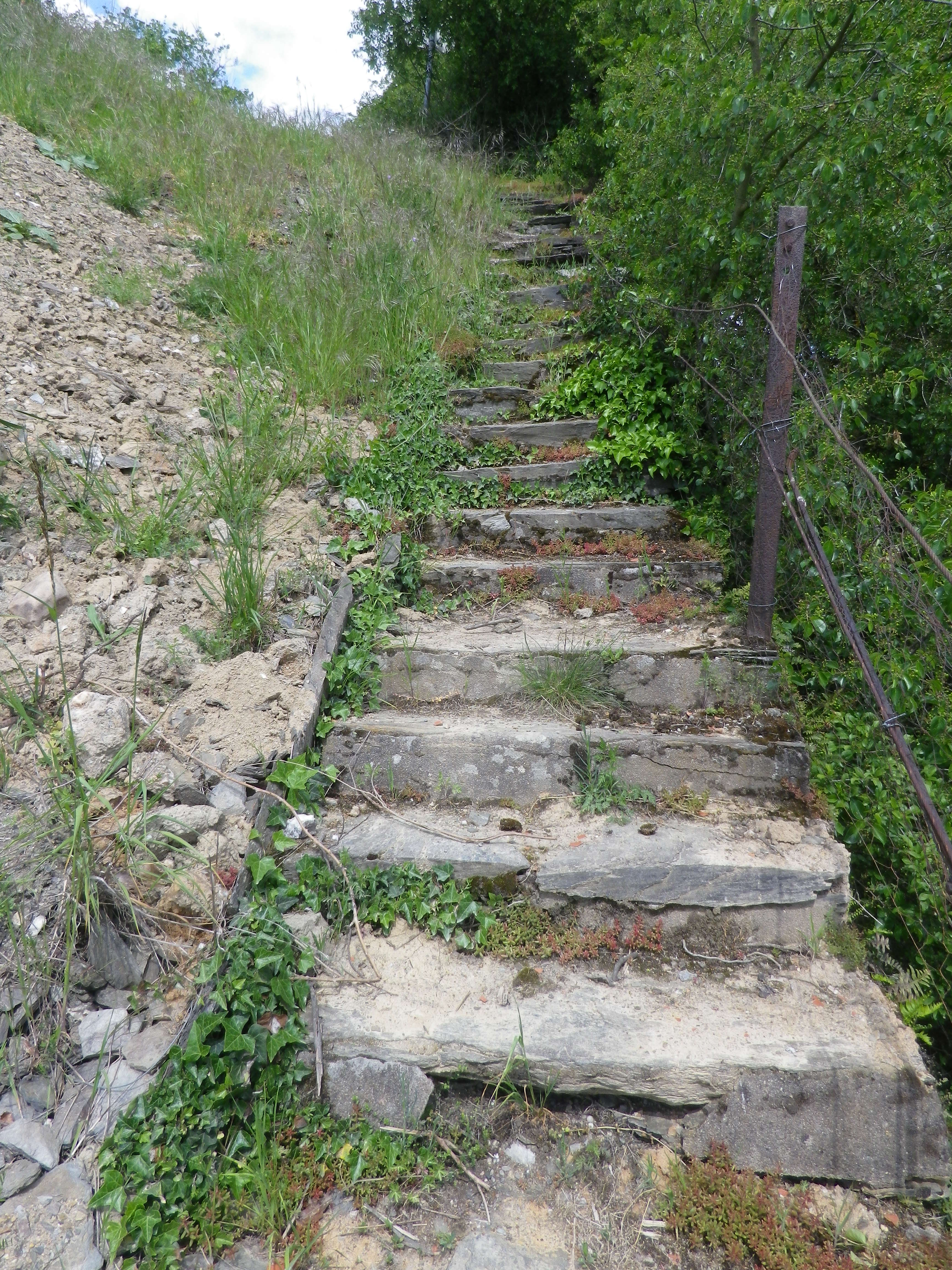
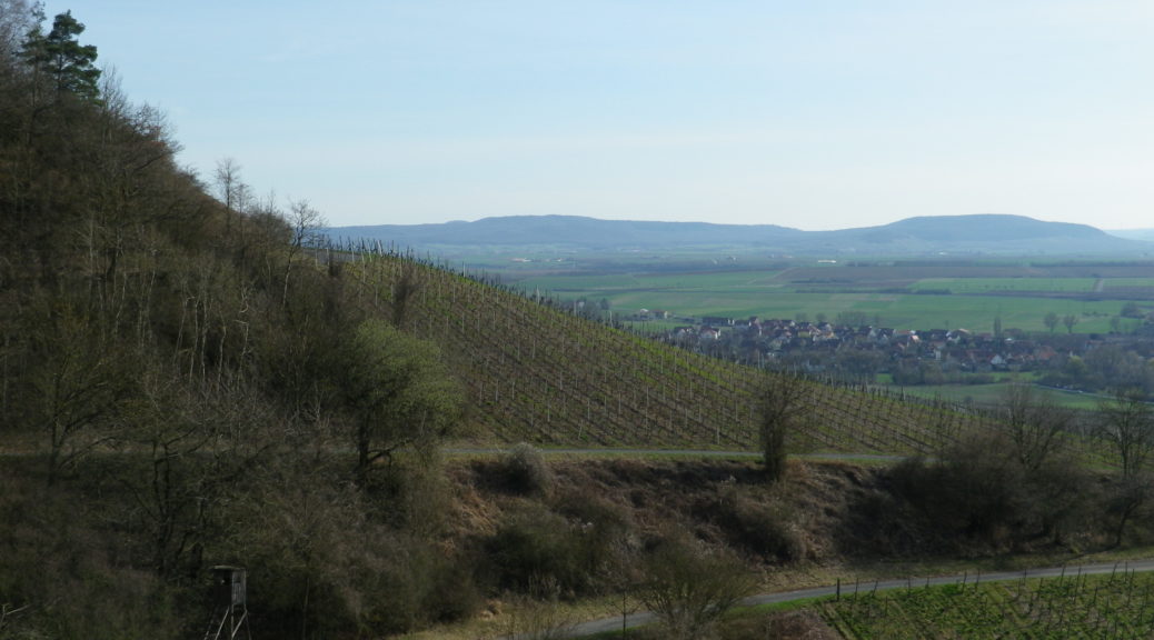
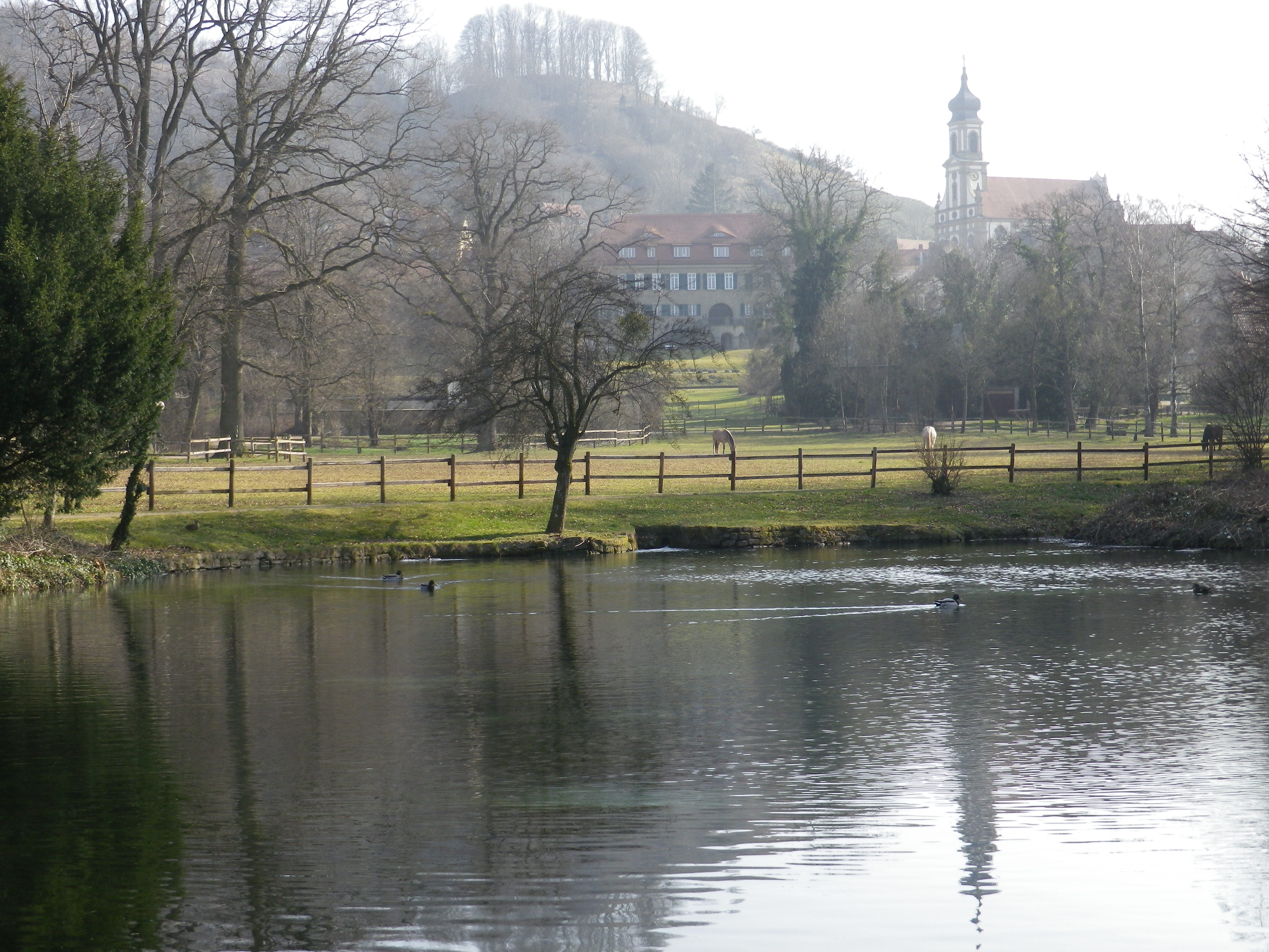
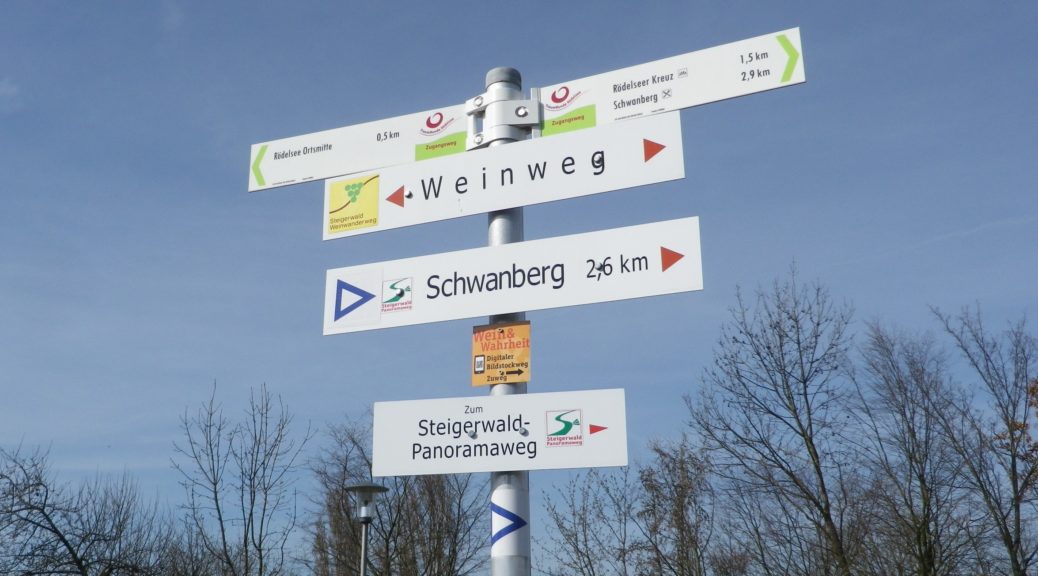
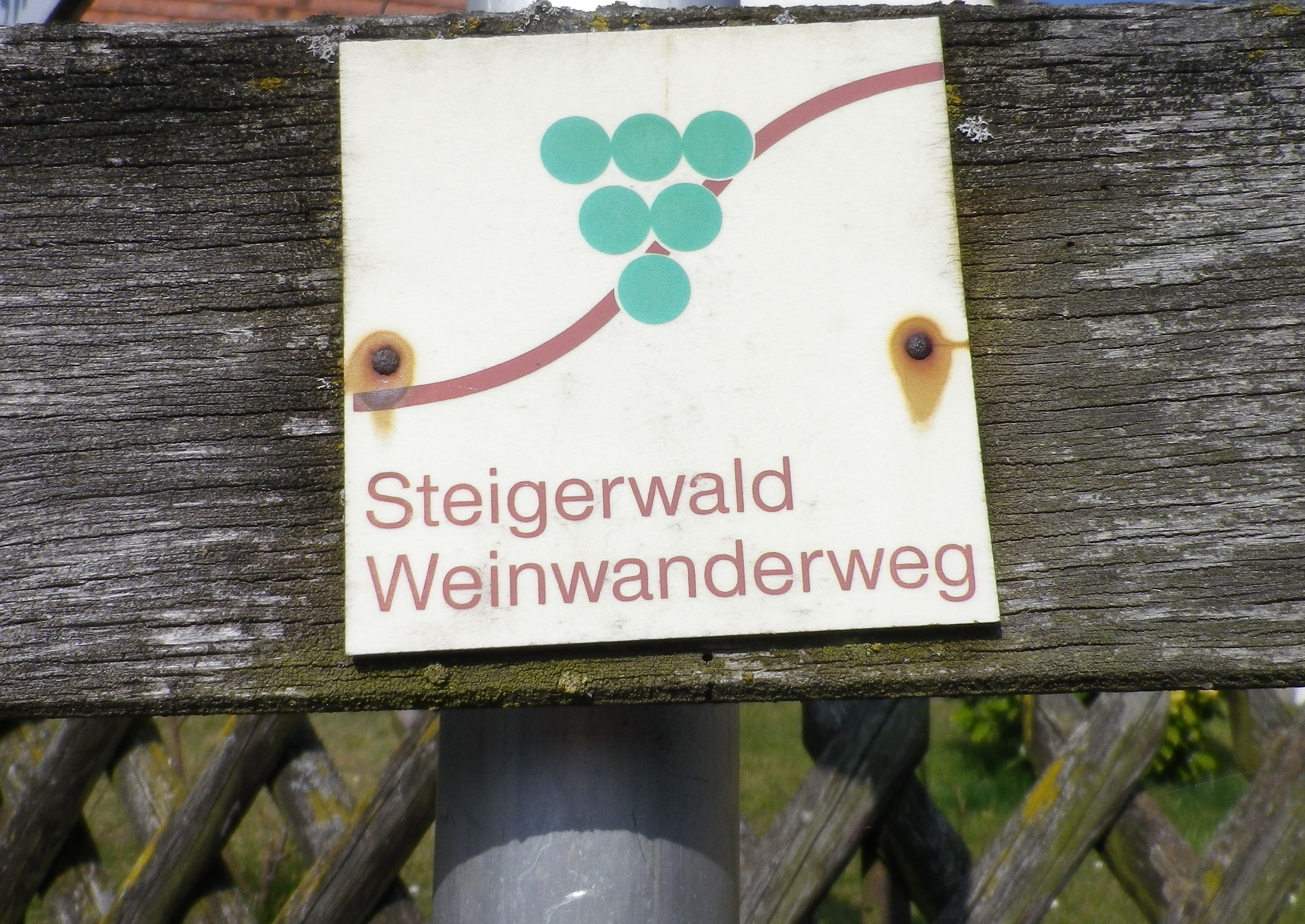
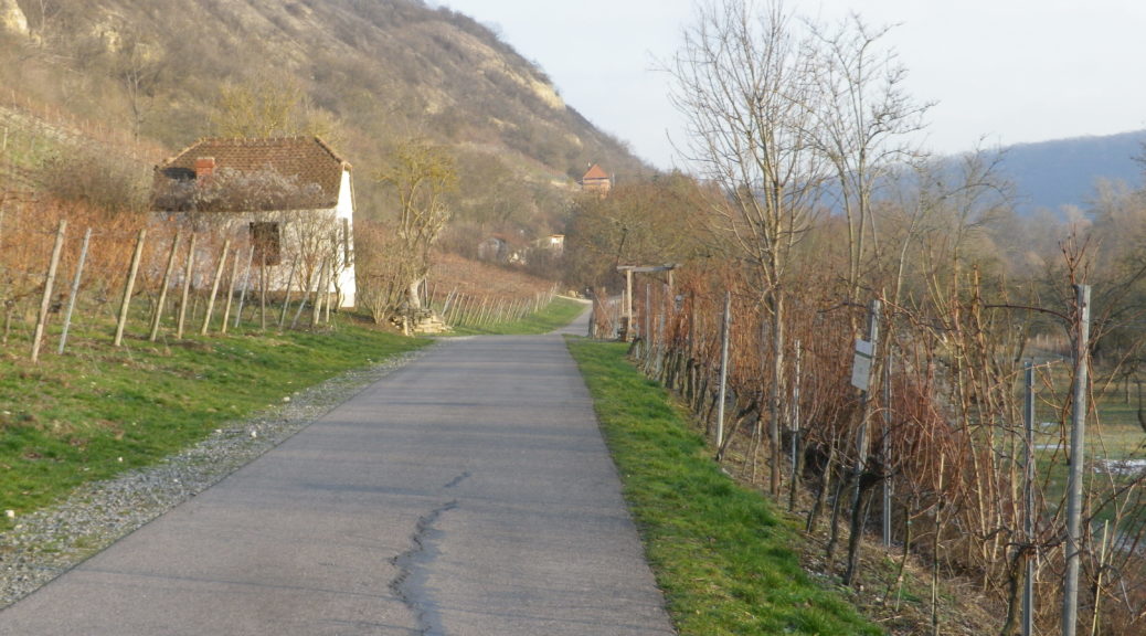
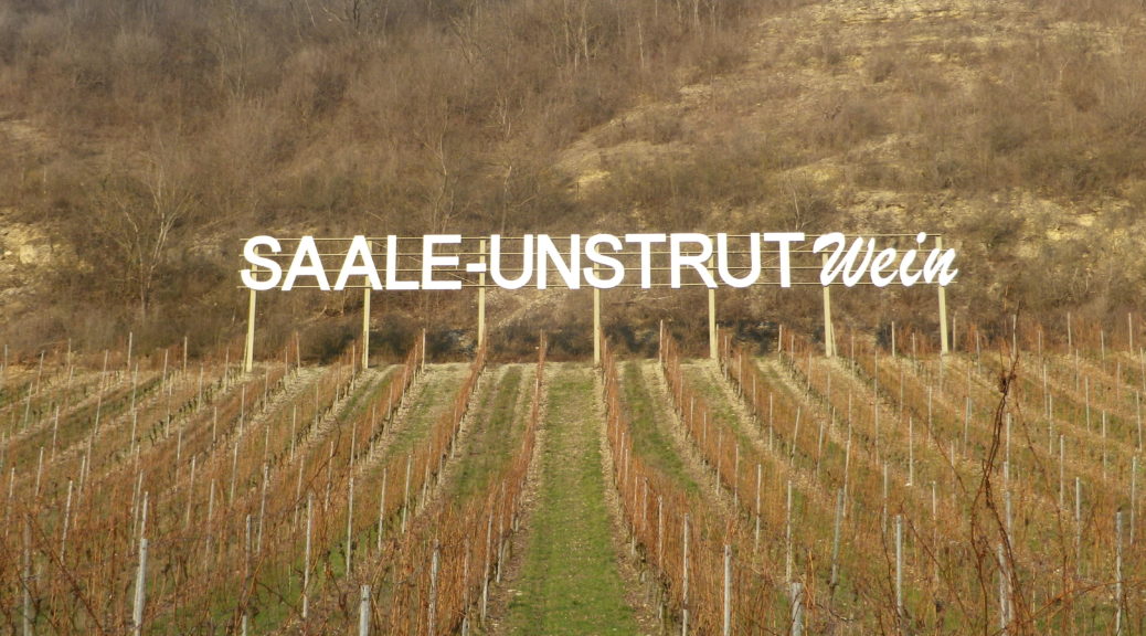
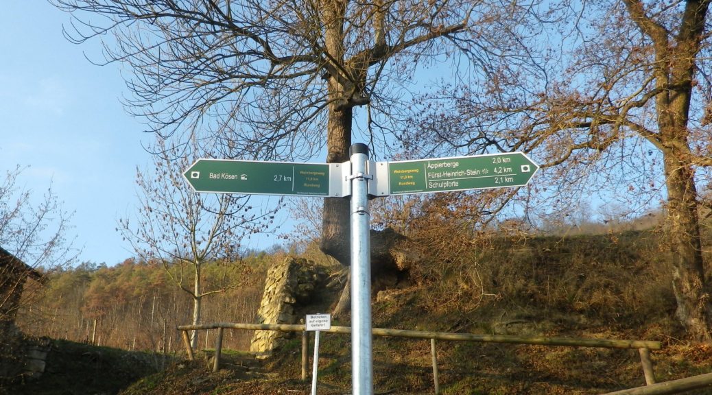
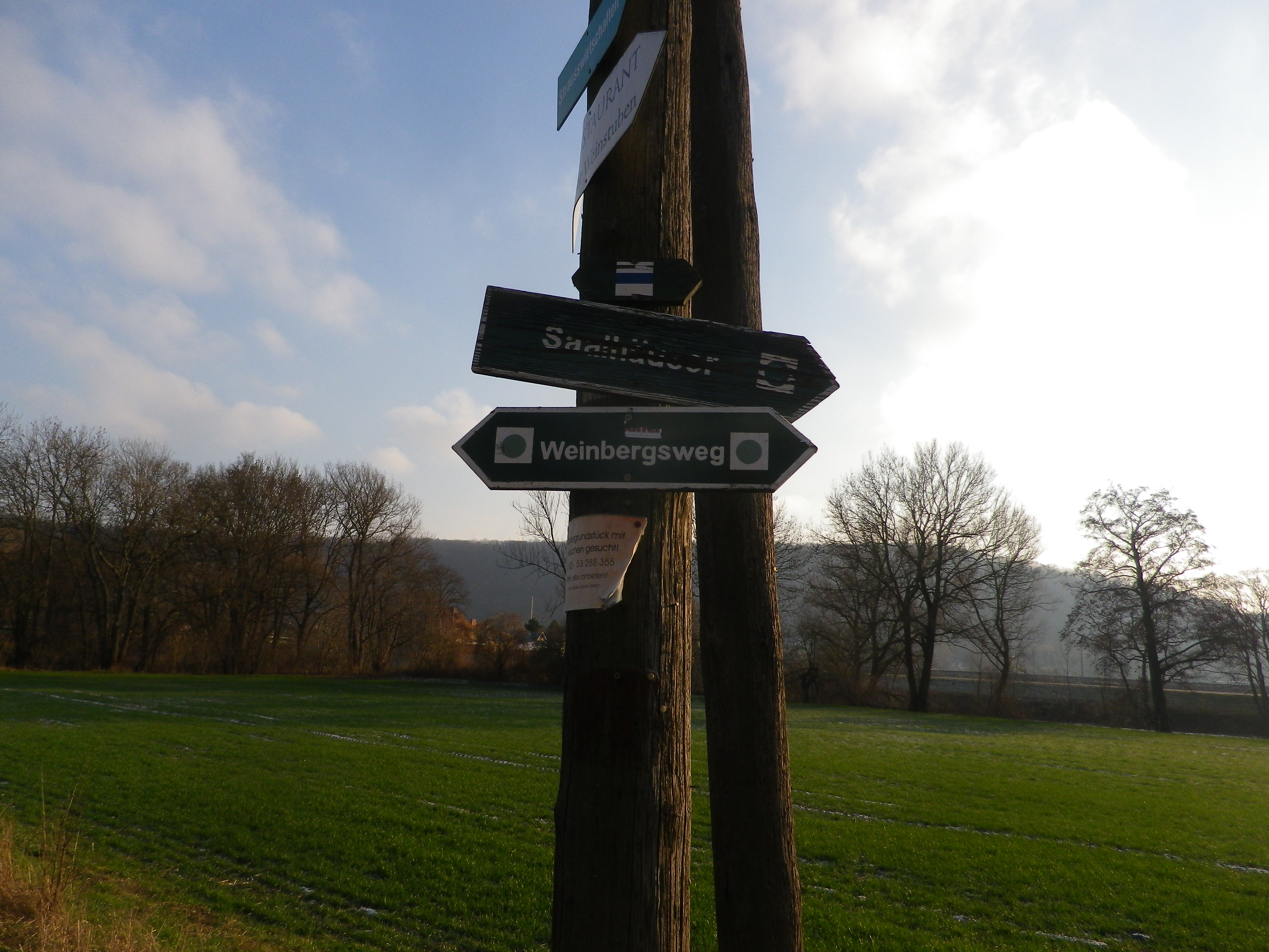
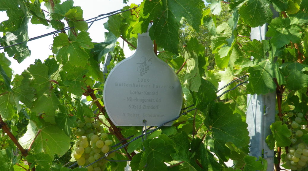
Of the Franconia (Franken) wine region’s districts, the Steigerwald district is undoubtedly less well-known than the other two (the Maindreieck around Wuerzburg, and the Mainviereck), and consequently, one of the least visited. The Steigerwald is a tranquil area, focused largely on agriculture. One major attraction is the relatively large Steigerwald Nature park, with wide swathes of tree-covered hills. But on the edges of those hills are vineyards. The vineyard area is known as Frankenberger Schlossstueck, with three vineyards – the Hohenbuehl, the Tannenberg, and the Paradies, belonging to the villages of Seinsheim, Huettenheim and Bullenheim respectively.

Mueller-Thurgau, Silvaner and Bacchus are the three most common grape varieties planted here. The Bacchus varietal was created by crossing a Riesling with a Silvaner, then with a Mueller-Thurgau. The three parent varietals all do relatively well in cooler climate, which is why these, along with Bacchus, are the most planted varietals in this district. These grapes tend to produce light, fruity, white wines, a delight to drink chilled. Normally neither as acidic, nor as aromatic as Riesling, both the Silvaner and Bacchus wines are less-intense alternatives to Riesling, and are found almost only in Franconia.


What I Tasted

2017 Mueller-Thurgau, Kabinett, Trocken, Paradies Wein: A dry white wine with medium minus gold color; nose of green apple and gooseberry, with vanilla, green apple, and slight stone fruit flavors; medium plus acidity, with a tart lengthy finish.

2017 Bacchus, Kabinett, Halbtrocken, Winzerhof Klaus Markert (Weigenheim): A semi-dry white wine, with medium gold color; apricot, white peach and vanilla aromas and flavors; medium acidity.

2016 Bacchus, Bullenheimer Paradies, Kabinett, Halbtrocken, Weinbau Erich Schwemmer (Seinsheim): A semi-dry white wine, with medium minus gold color; neutral nose, with apricot, white peach and vanilla flavors; medium minus acidity.


Traumrunde Huettenheim-Seinsheim: Trail in a Nutshell


Trail Name: Traumrunde Huettenheim-Seinsheim

Trail Type:

Short-distance circuit; well-maintained and almost exclusively paved or hard-packed, marking on the trail fairly good

Length:

Total – 8.7 kilometers/ 5.4 miles

Convenient to:

Ippesheim, Franconia, Germany

Marking:

Square with white background, and red lettering reading “Traumrunde Huettenheim-Seinsheim”

Sign: TraumRunde Huettenheim-Seinsheim


Trail Description:

A meandering circuit, with moderate ascents and descents, as it circles the irregular upper contours of a vine-planted hill on the southwestern edge of the large Steigerwald Nature Park

Trailhead:

Can be anywhere on a circuit, but from a parking perspective, the parking area just below the Weinparadies Scheune is a convenient place to start.

Parking:

Bullenheim: Follow the signs to the Weinparadiesscheune, and before arriving, you will see a small area for hikers’ parking

Public Transportation Options:

Bus: Available to surrounding villages (Bullenheim, Seinsheim, Huettenheim), but not practical

Suggested Stages: (Not applicable)

Trail Itinerary-Reference Points: (Clockwise)

Huettenheim: Jewish Cemetery, Vineyards, two little ponds, forest; Kapellberg overlook, Kunigundenkapelle, scenic overlook, parking lot, Weinparadiesscheune Seinsheim; Steinbruch am Kunigundenwald, picnic area, Tannenberg Kreuz, Wanderhuette am Juedischen Friedhof

Representative Trail Photos:

Representative Trail Section in Forest Areas
Trail Surface: Unpaved

Restrooms:

(Only observed at the WeinparadiesScheune)

Attractions on or near Trail:

Some wine education tables located intermittently along the trail.

Tasting along the Trail:

Weinparadiesscheune Seinsheim, directly on the trail

Small wineries and taverns in Bullenheim, Seinsheim and Huettenheim, all slightly off the trail

Alternative Options:

Hiking: TCW 49: Durch Fraenkische Weinparadies: a 12.9 kilometer circuit, through much of the same area, but, more challenging ascents and descents, and about 2 miles longer. See https://www.outdooractive.com/de/route/wanderung/steigerwald/tcw-49-durchs-fraenkische-weinparadies/227470702/

Additional Information:

Regional: https://www.ippesheim.de/

Trail specific: https://www.outdooractive.com/de/route/wanderung/fraenkisches-weinland/traumrunde-huettenheim-seinsheim/9552201/#dm=1

Comments:

Few parking lots, per se, just parking on the edges of lanes. So please be conscientious and respectful when parking road-side in the villages or vineyards.


Wine Notes: Mittelrhein Reichenstein


What I Learned

The Mittelrhein (Middle Rhine) is famous for its castle ruins, towering cliffs, and dramatic oxbow bends along the river through this section of it. The Upper Middle Rhine is now a UNESCO World Heritage site. It begins in Koblenz, and continues to Bingen.

This also defines the wine region known as the Mittelrhein. Unlike other wine regions on the Rhine, this region covers both banks of the river (beginning north of Lorchhausen, which joins the Rheingau region). Many areas of the Upper Middle Rhine do not produce wine: the topography and geology just aren’t suitable or practicable, even for growing other crops. That just makes the vineyards along this section of the Rhine even more esteemed.

On the left bank, dark slate begins to predominate in the soil around Boppard, and continues upriver until just outside Trechtingshausen. This hard rock shapes the river as well, and its many twists and turns provide optimal sun exposure for some slopes, like the famous vineyard of Bopparder Hamm, while depriving others of much sun at all just around the next bend.

Because of the different geological conditions, the Mittelrhein region is divided into different “Grosslage,” or growing areas, each containing some specifically named vineyards. This hike covered the area around mostly Oberheimbach, which falls with the Grosslage of Schloss Reichenstein, the name of a brooding castle ruin located about three miles upriver in Trechtingshausen. Well-known Nieder/Ober -heimbach vineyards include Niederheimbacher Froher Weingarten, Oberheimbacher Sonne, Oberheimbacher Klosterberg, and my personal favorite: the Oberheimbacher Wahrheit (it means “Truth”), which says all you need to know about the true expression of the terroir in the wines from here.


What I Tasted

2017 Riesling Weinberg Schloesschen, Spaetlese, Trocken, Deutscher Qualitaetswein, Weingut Juergen Stassen (Oberheimbach): A dry white wine with medium gold color, a mineral and slightly fruity nose, with green gooseberry and mineral flavors; medium plus acidity with a tart finish.

2015 Riesling, Classic, Trocken, Deutscher Qualitaetswein, Weingut Eisenbach-Korn (Oberheimbach): A dry white wine with medium plus gold color, a spicy, nose with hints of turpentine and lipstick; with spicy and fruity flavors, medium acidity with a smooth, but tart finish; very well balanced overall.

2013 Weisser Riesling, Niederheimbacher Froher Weingarten, Qualitaetswein, trocken, Fendel: A dry white wine with a medium gold color: a well-balanced, slightly floral and fruity tasting wine with a pleasant minerality to it.


Fuerstenbergblick: Trail in a Nutshell


Trail Name:  Nr 22 – Fuerstenbergblick

Trail Type: Short distance circuit trail; well-maintained and mostly paved or hard-packed earthen trail, marking on the trail is mostly good, but not always exclusively specific to this trail as other trails follow along it as well.

Length:

Total – 7 kilometers/4.3 miles

Convenient to: Bingen, or Koblenz, Germany

Marking: Nr 22, or follow signs to next itinerary point

Trail Description: This is an easy trail through a little visited area of the famous Middle Rhine. It passes through a couple of wooded areas, but mostly vineyards, with clear views of the vineyards and castles on the opposite (and more visited) side of the Rhine, and a lovely riverside walk to close the circuit.

Trailhead:

Niederheimbach, Rheinstrasse riverside walking path

Parking:

Niederheimbach: A few street-side places where parking is not prohibited along the Rheinstrasse or Heimbachtal streets

Public Transportation Options:

Rail: Very frequent train service (DeutscheBahn (DB) regional train RB26) connects Niederheimbach with Mainz to the south, or Cologne to the north with stops all along the Mittel Rhein including Bingen, Boppard, St Goar, Koblenz, amongst others.

Bus: See the Rhein-Naehe Nahverkehrsverbund (RNN) website for details of bus travel through this area

Suggested Stages: Not applicable

Trail Itinerary-Reference Points: (Clockwise)

Niederheimbach: Heimbachtal, then turn up to Rheinblick, vineyards, lookout point “Tempelchen”, woods, Rheindiebach: Cross Rheingoldstrasse/K27, vineyards, to and past Burg Fuerstenberg ruins, pass above the cemetery, Rheingoldstr, Mainzerstr, pass under B9 and train tracks, continue on the waterside path back to Niederheimbach

Representative Trail Photos:

Sample Trail Section Through Woods


Grassy Trail Surfaces in Places


Stairs to the Castle

Restrooms:

Rheindiebach: along the river, just north of the pedestrian underpass

Attractions on or near Trail:

Just lots of iconic Rhine River scenery!

Tasting along the Trail:

Niederheimbach and Oberheimbach both have guesthouses and restaurants that serve local wines. Niederheimbach even has one right along the river!

Alternative Options:

Hiking: Reblausweg (Nr 13) / Route 1 Panoramaweg, an 8 kilometer circuit trail beginning/ending at Niederheimbach. See the Nutshell here.

Biking: Rheinradweg, is a multi-day tour following the Rhine, but an easy day trip, with lots of stops for photos, is from Koblenz to Bingen am Rhein, or vice versus. It passes through Niederheimbach, which is one of the trains stops along the river route. See the Nutshell here.

Additional Information:

Regional: https://www.romantischer-rhein.de/ and https://niederheimbach.welterbe-mittelrheintal.de/

Trail specific: https://www.outdooractive.com/de/route/wanderung/romantischer-rhein/nhb-nr.-22-fuerstenbergblick-rundwanderweg/116090787/  or https://www.niederheimbach.info/media/files/nhb-wanderweg_022_k-2022-07.pdf

Comments:

Short, easy, but lovely.


Steigerwald’s Stellar Vineyards and Villages


The Steigerwald, in Franconia, is a wonderful area. Unlike the other wine districts in the region, the Steigerwald is away from the Main River, and does experience a bit more variance in the weather. One March, hiking the Steigerwald on the first weekend of March, I failed miserably due to snow and ice. (See that story here.) Another March, a year and three weeks’ time difference, sunny skies and dry trails resulted in one of the most memorable hikes I ever completed in Germany.

I began in Castell, a delightful village with a good reputation for its wines. It is nestled at the base of low, vine-covered hills. This iconic village comes complete with a castle in its park, narrow streets and lanes filled with historic houses, and a church. But it was not alone – all the villages on the trail of this hike were just as charming.

Castell: Castle and Church

Continue reading Steigerwald’s Stellar Vineyards and Villages

Wines Notes: Franconian Steigerwald


What I Learned:

Kronsberg, Julius Echter Berg, and the Kuchenmeister are three well-known vineyards in the Iphofen-Roedelsee area, the most famous perhaps being the Julius Echter Berg, named after a 16th Century Wuerzburg Prince-Bishop. (He served as the ruler of a large area within the Holy Roman Empire in Franconia, which he managed rather well.) It was during his lifetime that the Silvaner vines entered Franconia (the first documented record of it locally being in the Castell archives), and some of its best expressions come from the mineral-rich Gipskeuper soils (components shale, gypsum, anhydrite and rock salt) unique to the area around the Schwanberg, around which the three vineyards lay. This geological component, along with the influence of a continental weather pattern, can result in outstanding white wines some years.

Continue reading Wines Notes: Franconian Steigerwald

Steigerwald Weinwanderweg: Trail in a Nutshell


Trail Name: Steigerwald Weinwanderweg

Trail Type: Long distance; almost exclusively paved or at least hard-packed surfaces, well maintained, fairly well marked.

Length: Total: 42.75 kilometers/ miles

Convenient to: Kitzingen, Bavaria, Germany

Marking: Green grapes on a white background, scored through by a wavy red line

Signage: Steigerwald Weinwanderweg

Continue reading Steigerwald Weinwanderweg: Trail in a Nutshell

A Great Hike in Bad Koesen


My second trip to the Saale-Unstrut wine region, following my disastrous first trip (see here), occurred in the middle of January. My destination this time was the Weinbergsweg circuit trail. This hike proved a great, easy, family-friendly, circuit trail through vineyards, town and wooded areas, following along the Saale River as it circles through and around Bad Koesen in Saxony-Anhalt, Germany.

I began my hike by following the river. It was a lazy, but very scenic stretch along the Saale. This section also had several pubs and taverns, with outdoor seating overlooking the river. Ideal for a lovely summer afternoon or evening, but usually not available in winter. Vineyards were on the left, and flat, alluvial fields on the right.

Saale River

Continue reading A Great Hike in Bad Koesen

Wine Notes: Saale-Unstrut


What I Learned

Vineyards have grown along the Saale and Unstrut rivers for over 1000 years now, from a modest start at Memleben Abbey in 998 A.D.. Vines now cover about 770 hectares in the Saale-Unstrut Region. The vineyard landscape is characterized by hills of shell limestone and variegated sandstone soils, often terraced, contained in places by centuries-old dry-stone walls. Sited on the 51st degree of latitude, it is the northernmost designated quality wine region in Germany. In spite of its northerly position, it receives more sunshine than Trier, in the Moselle wine region but less than Freiburg, in the southern Baden wine region in the Rhine River Valley.

The Saale Unstrut region extends over three German states: Saxony-Anhalt (639 hectares), Thuringia (108 hectares), and a real northern outlier in Brandenburg (by Potsdam) (8.4 hectares).  No other German wine region covers such a number of German states.

Continue reading Wine Notes: Saale-Unstrut

Weinbergsweg: Trail in a Nutshell


Trail Name:  Weinbergsweg

Trail Type: Mid-distance circuit; well-maintained and much of it paved; marking on the trail good

Length:

Total – 10.2 kilometers/6 miles

Convenient to: Bad Koesen (see comments below), or Naumburg, Saxony-Anhalt, Germany

Marking:

Rectangular signs with green background and white lettering “Weinbergsweg” Below is an older version of the signage, still found in places, and the feature photograph above displays the newer signage.

Older Sign for Weinbergsweg

Continue reading Weinbergsweg: Trail in a Nutshell