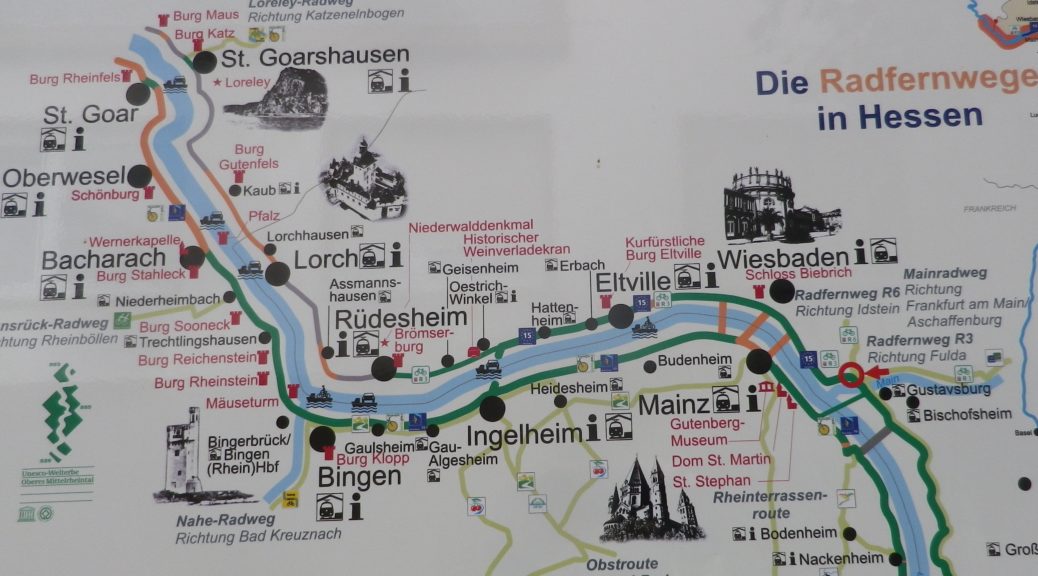
After having hiked through the steep and forested slopes of the Mittelrhein, I continued my tour of the Rheingau wine region’s vineyards by bicycle. At Ruedesheim, I left the Rheingauer Riesling-pfad (see here), and hopped on a bike following the Rheingauer Riesling Route. The two trails cover the Rheingau vineyard area, but following somewhat different routes.
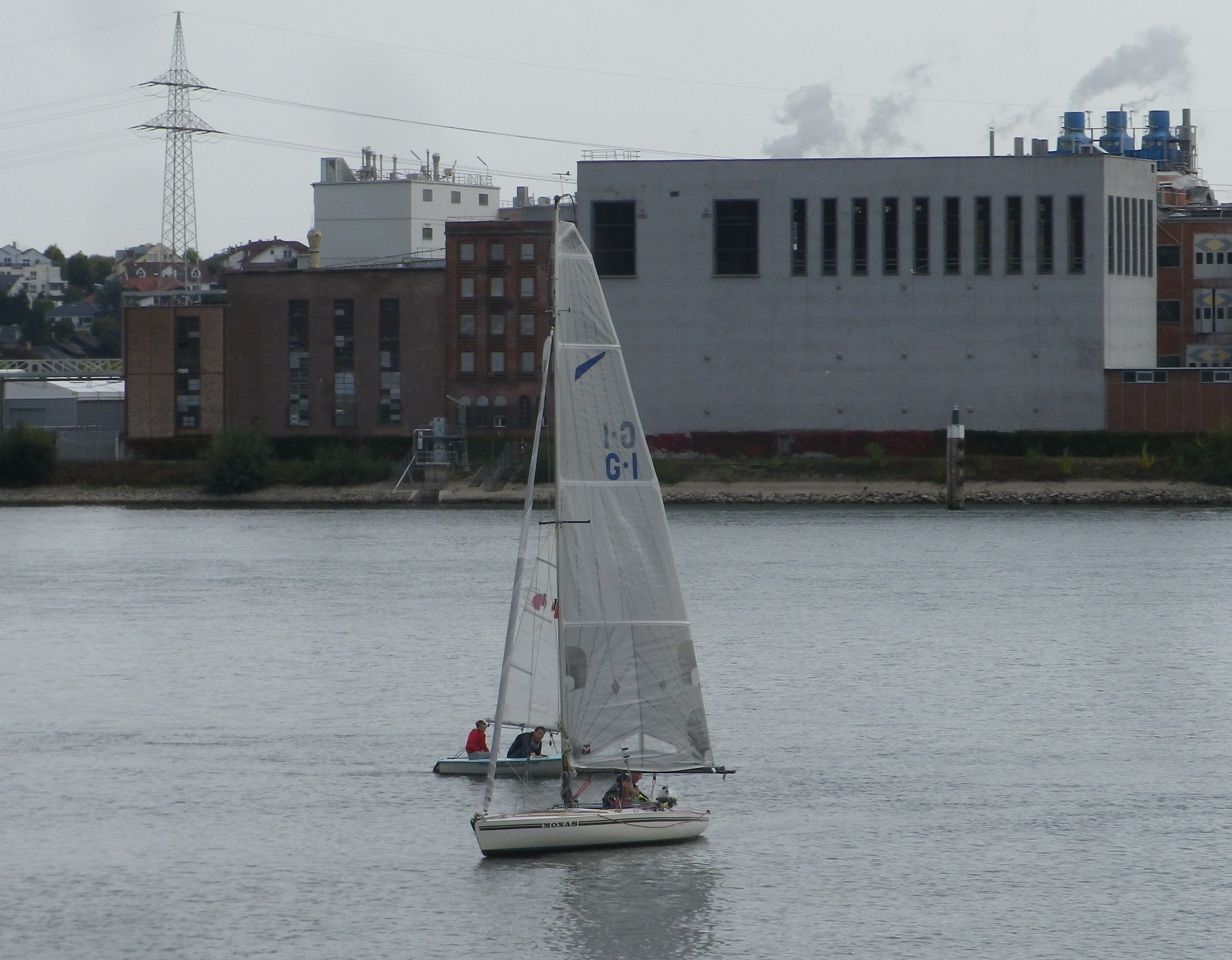
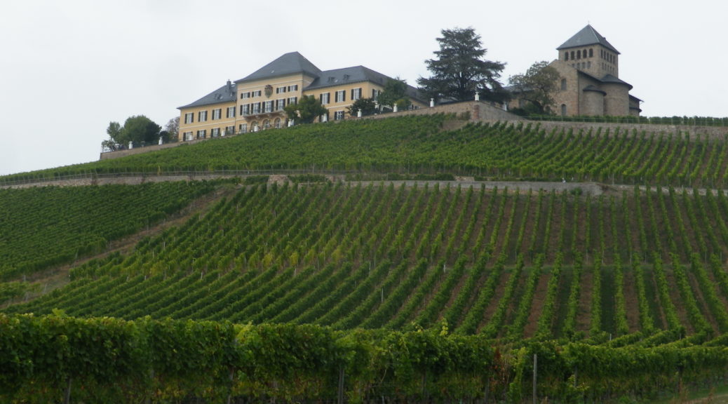
I was immediately struck by how different the wine area upriver from Ruedesheim is from that downriver of it. Upriver from Ruedesheim, the world heritage site of the “Mittelrhein” ends. The obvious difference is that the river suddenly opens up again. The narrow chasm defining the romantic middle Rhine with its vertiginously steep slopes disappears, replaced by gentler vine-bearing slopes. Cities soon replace quaint villages, and the river takes on a more business-like aspect, industry, ports for shipping, and riverside loading facilities.