
Ulsenheim and St Jakobus Belltower

Vineyards by Ulsenheim

Franconian Fecundity Memorialized

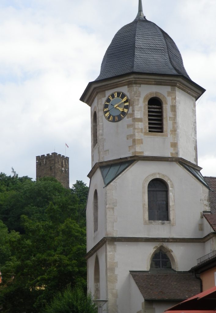
Markt Nordheim: St Georg Belltower

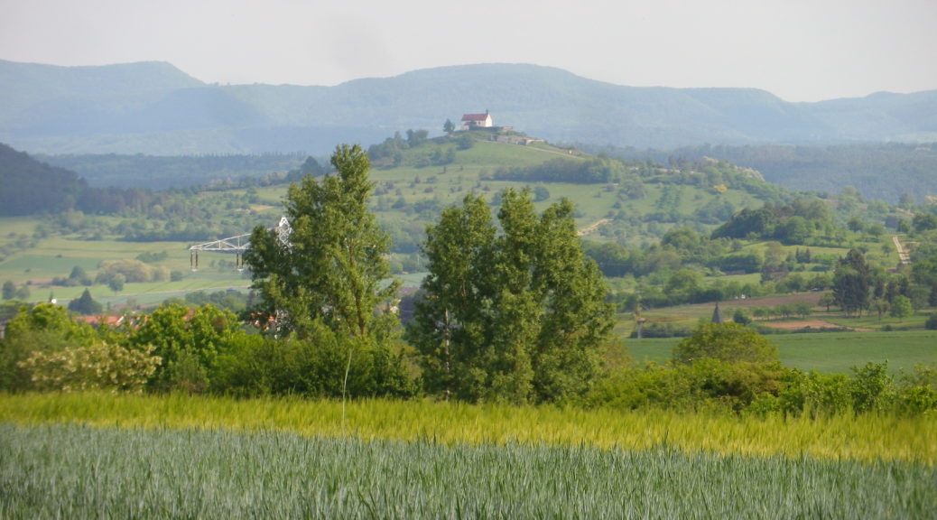
Edge of the Steigerwald Nature Park

Fields of Grain by Markt Nordheim
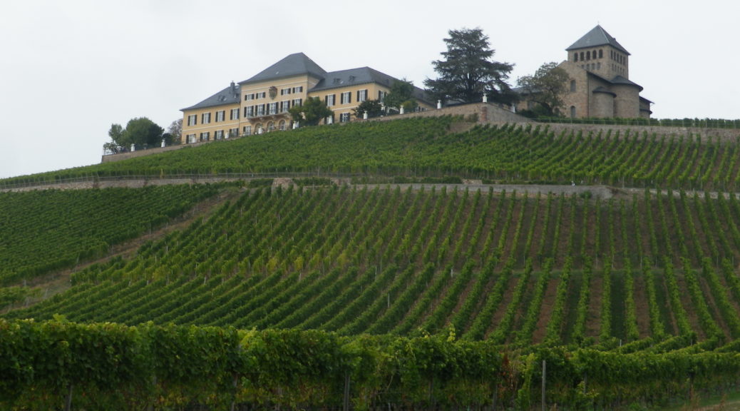
After having hiked through the steep and forested slopes of the Mittelrhein, I continued my tour of the Rheingau wine region’s vineyards by bicycle. At Ruedesheim, I left the Rheingauer Riesling-pfad (see here), and hopped on a bike following the Rheingauer Riesling Route. The two trails cover the Rheingau vineyard area, but following somewhat different routes.
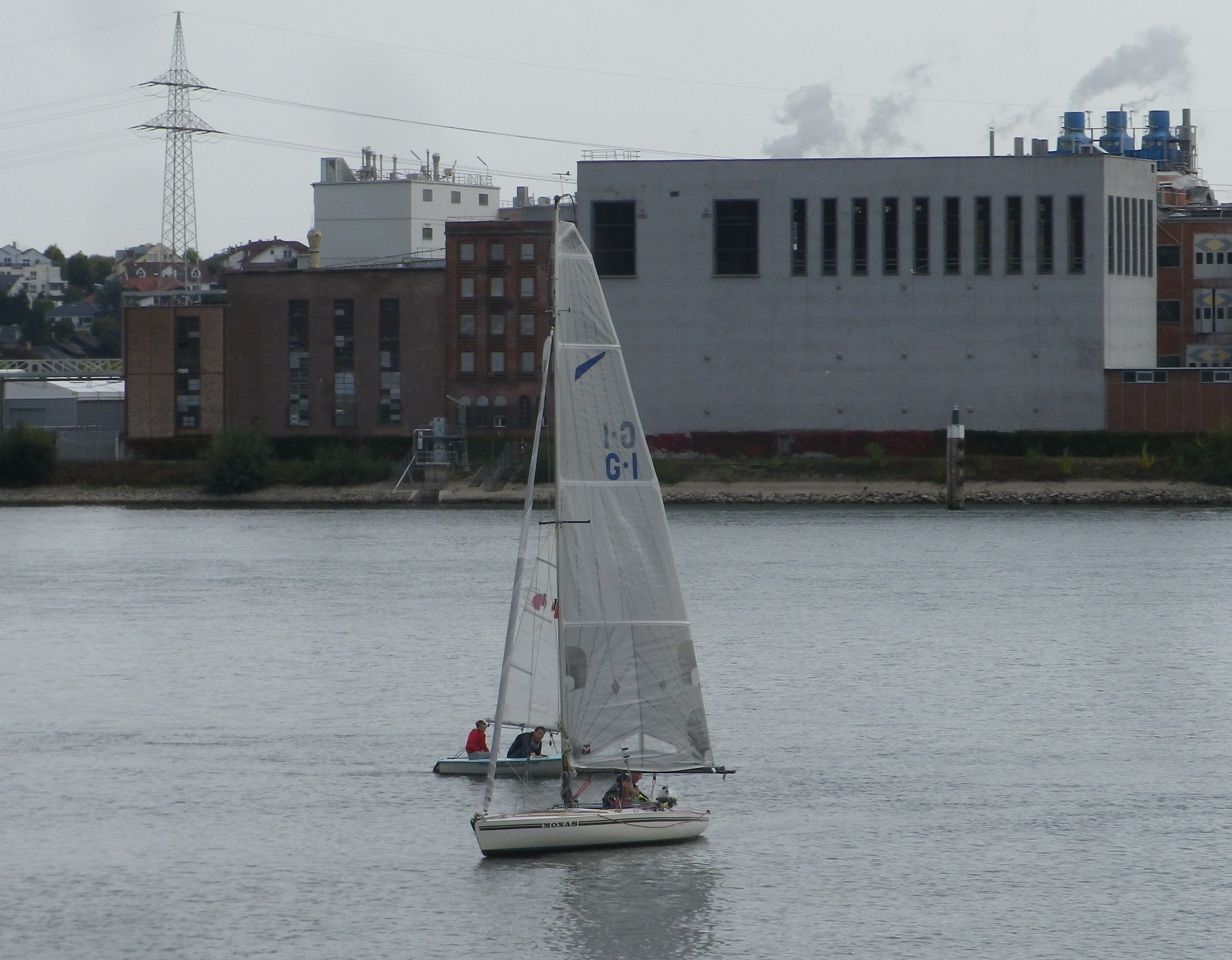
I was immediately struck by how different the wine area upriver from Ruedesheim is from that downriver of it. Upriver from Ruedesheim, the world heritage site of the “Mittelrhein” ends. The obvious difference is that the river suddenly opens up again. The narrow chasm defining the romantic middle Rhine with its vertiginously steep slopes disappears, replaced by gentler vine-bearing slopes. Cities soon replace quaint villages, and the river takes on a more business-like aspect, industry, ports for shipping, and riverside loading facilities.
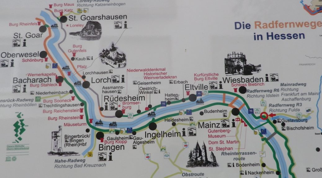
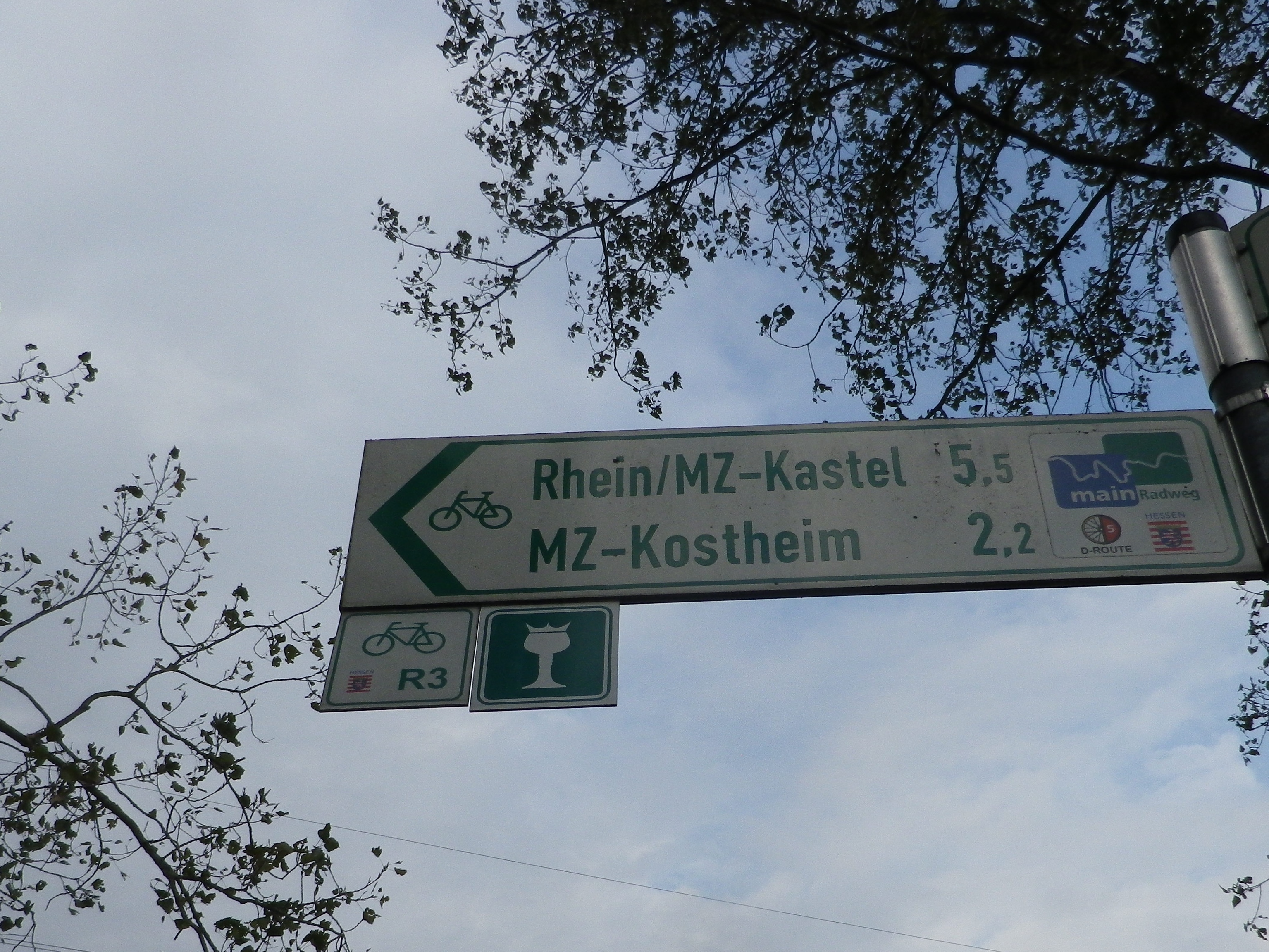
Trail Name: Rheingauer Riesling Route
Trail Type: Long distance trail; almost exclusively paved, well maintained; the route itself is marked in part with the wine glass marking (see below), and other parts are marked with an R3.
Length:
Total: 62 kilometers/38.5 miles (Kaub to Floersheim)
Segment: 49 kilometers/30.5 miles (Ruedesheim to Floersheim)
Convenient to: Wiesbaden, or Mainz, Germany
Marking:
White wine glass with a crown on a green background; Alternatively: R3 and R3a (variant to Kloster Eberbach). Where the icon marking is not easily found, follow the R3 or R3a signs.
Continue reading Rheingauer Riesling Route: Trail in a Nutshell
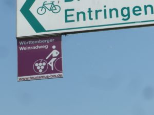
Wuerttemberg’s Weinradweg (Wine Cycle Route) complements this German state’s long-distance, wine-themed hiking trail, and extends a bit further south as well. When it comes to wine trails, both the hiking trail and this biking trail fall in the category of extensive. I had already hiked, and really enjoyed, parts of the 470 kilometers/292 miles-long hiking trail. I wanted to explore the bike trail as well.
Since I knew I would never complete the whole route, I decided to cover new ground, the area south of Stuttgart, along the Neckar River, one section of Wuerttemberg’s wine country that the complementary hiking route does not reach. Looking at the trail map, it is easy to see that the very first segment lends itself nicely to a circuit route: starting from Rottenburg am Neckar, and going to Tubingen, via the Ammerbuch valley, and returning to Rottenburg along the easy, popular and well-marked Neckar Valley bike trail.
Trail Name: Wuerttemberger Weinradweg
Trail Type: Long distance; well-maintained and almost exclusively paved, marking on the trail very good
Length:
Total – 354 kilometers/219 miles
My segment – 32 kilometers/ 20 miles
Convenient to: Stuttgart, Tuebingen, Rottenburg am Neckar, Germany
Marking: Square metal shield with a white-outlined stylized rider on a bicycle superimposed on a burgundy background
Continue reading Wuerttemberger Weinradweg: Trail in a Nutshell
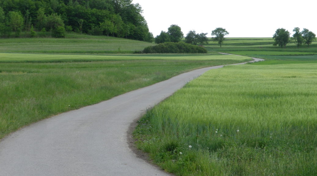
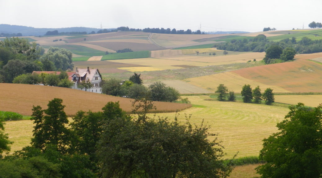
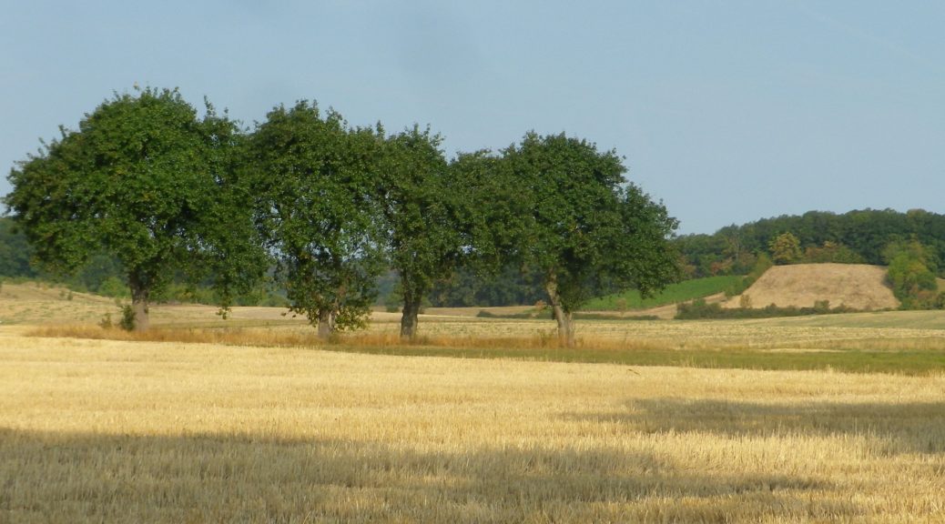
I must confess: I was not looking forward to this bike ride. It is not in a well-known wine area; actually, it’s not in a well-known area, period. The day was overcast and seemed to threaten rain. Once on the ground though, my mood improved, and kept improving as the miles sped by. (Or in some cases, crept by, as this is a hilly area to traverse on bicycle, the steep, hill-without-end between Grossvillars and Sternenfels coming to mind.)
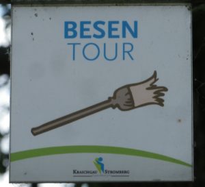
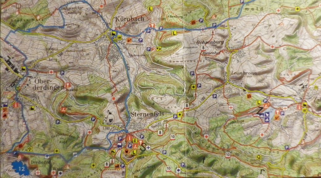
Trail Name: Besen Tour
Trail Type: Medium distance cycling circuit; well-maintained and much of it paved surface, fairly good marking along the trail.
Length: 36.5 kilometers/ 22.5 miles
Convenient to: Karlsruhe, Pforzheim, or Heilbronn, Germany
Marking: A white square metal plaque with a broom and the words “Besen Tour”