Trail Name: Chemin des Vignes (AKA : Circuit 5)
Trail Type: Mid-distance circuit; well-maintained and with a variety of surfaces from rough and scree to tarmac. While trail-specific signage can vary (see below), overall marking on the trail is rather good.
Length:
Total – 11.5 kilometers/7 miles
Convenient to: Beaune, France
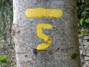
Marking:
Painted yellow bar(s) indicating trail and/or direction, and sometimes a yellow number 5; the occasional yellow sign with a black number 5 on it; yellow signs on posts with black letters indicating PR 5.
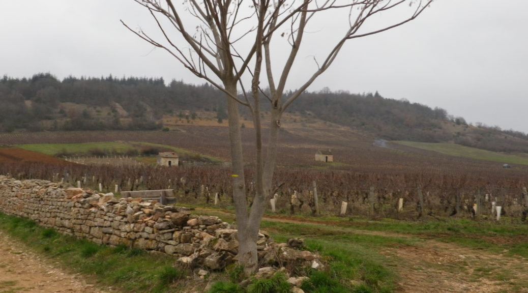
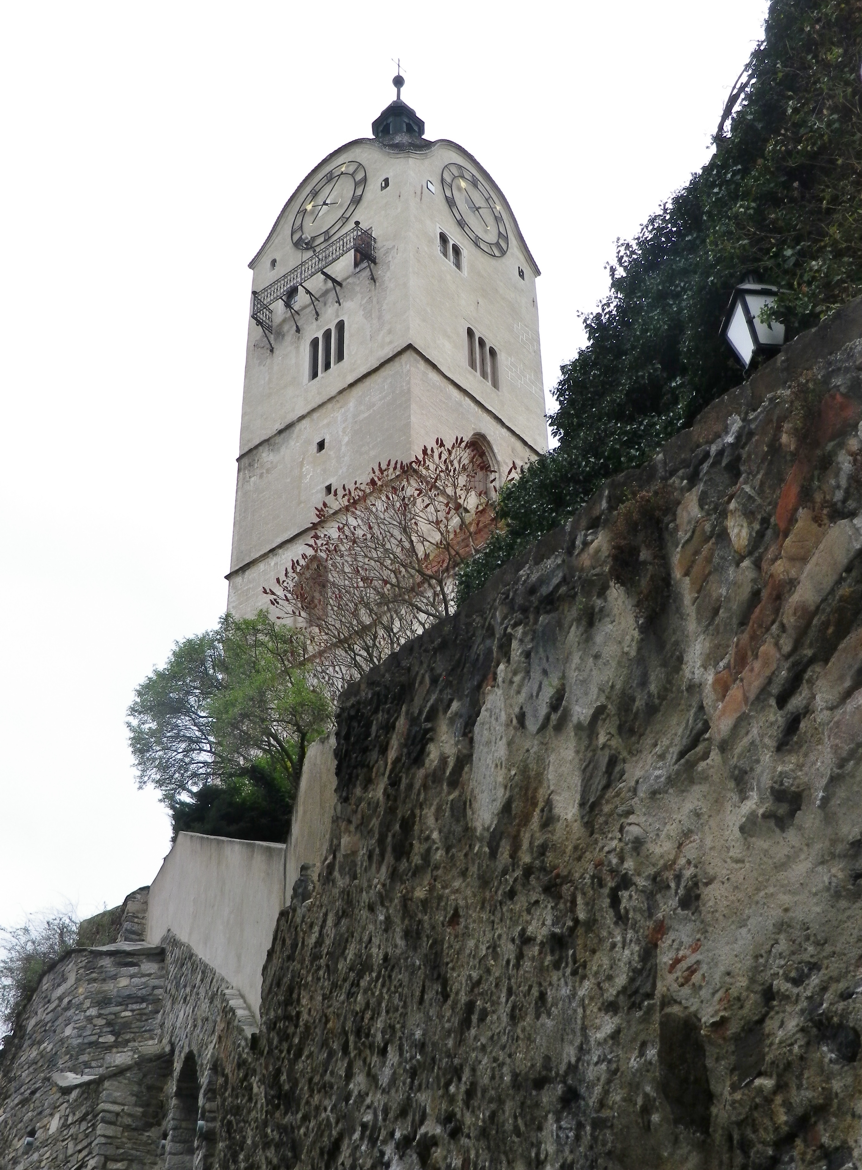
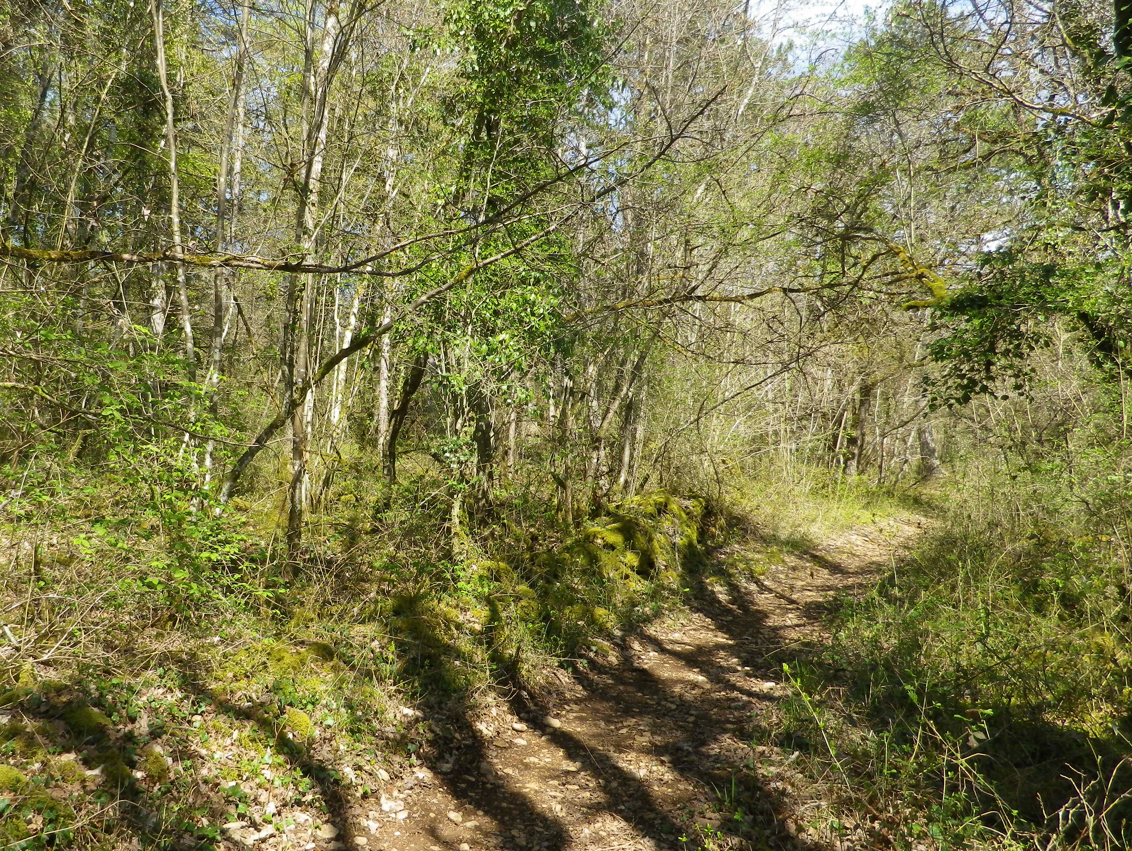
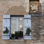
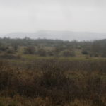
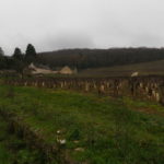
Trail Description: This trail has a great variety of terrain, elevation, scenery, and flora, all along a relatively easy circuit trail that circles the small town of Savigny-les Beaune and its well-known vineyards.
Trailhead:
Official: Savigny-les-Beaune, Rue des Chanterives
Alternate: Rue General Leclerc x Rue Soeur Gaby
Parking:
Savigny-les-Beaune: Rue des Chanterives x Route de Bouilland/D2(opposite camping site)
Savigny-les-Beaune: Limited parking along the street of Rue General Leclerc
Public Transportation Options:
Bus: The Cote&Bus company runs Line 10 round-trip from Beaune to Savigny-les-Beaune. It appears to service a school route, as well as commuters into Beaune, so be sure to check the website (www.coteetbus.fr) for changes or required reservations.
Rail: Nearest rail service is in nearby Beaune
Suggested Stages: Not applicable
Trail Itinerary-Reference Points: (North-South/Clockwise)
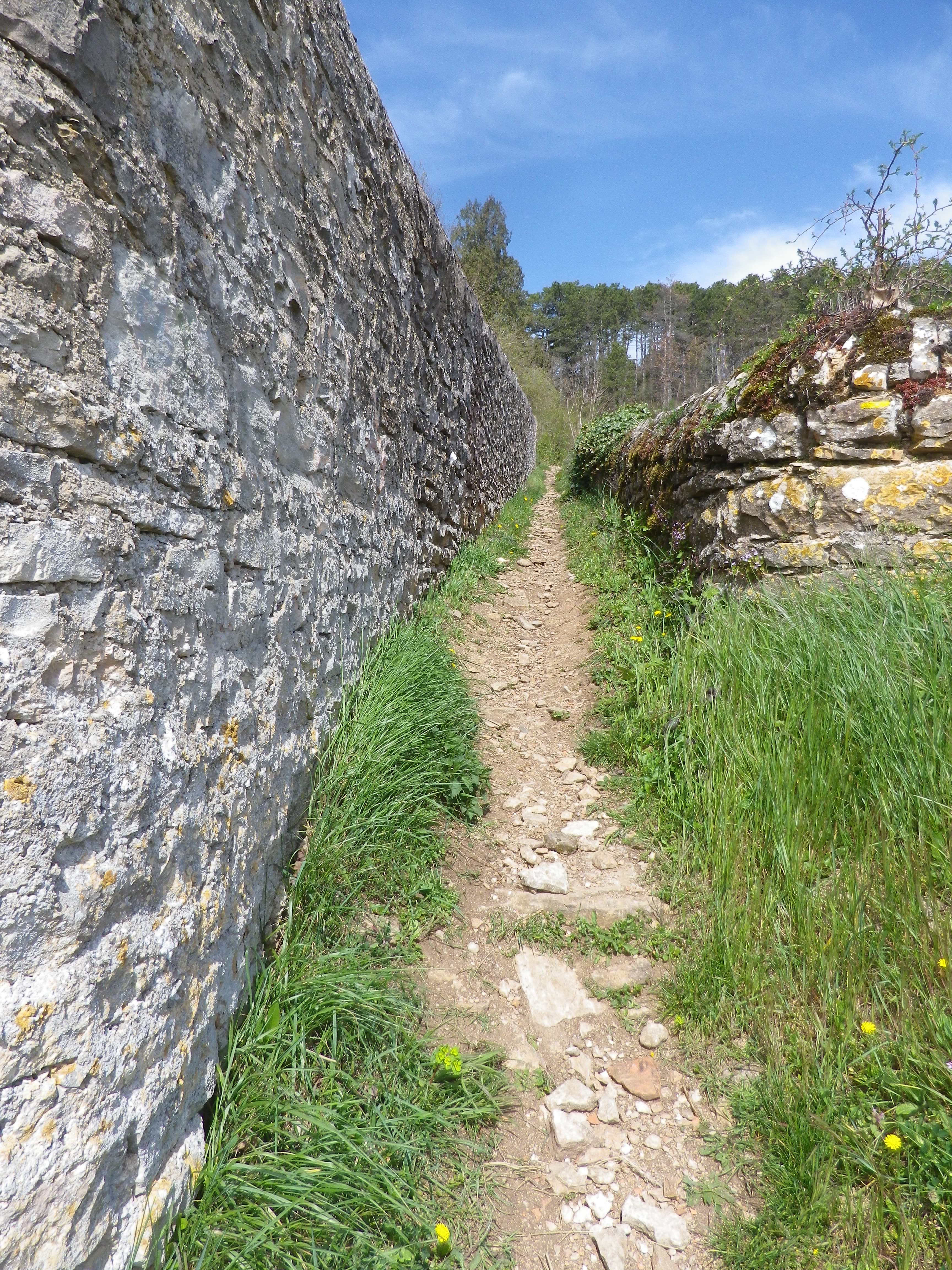
Savigny-les-Beaune: Chemin des Vermots, also seen on some maps as Chemin de la Grande Chaume, right onto a straight trail through woods all uphill, vineyards, then a long stretch through forest; Cross Chemin de Citeaux, along the Combe de Barboron (a vale), follow R du Jarron about 150 meters uphill, turn right through vines, then forest; downhill between walls to picnic table, downhill on the agricultural road/C7; Savigny-les-Beaune: southeast on R Dr. Guyot/D2, R des Porches, R Soeur Gaby, cross the creek and continue straight onto a grass path), past sports fields (fighter jet collection on the right), R des Combattants, R Chanoine Donin-Chemin des Carrieres, parallel the highway for about 400 meters; through forest; downhill on R des Fatains, R des Petites Chanterives
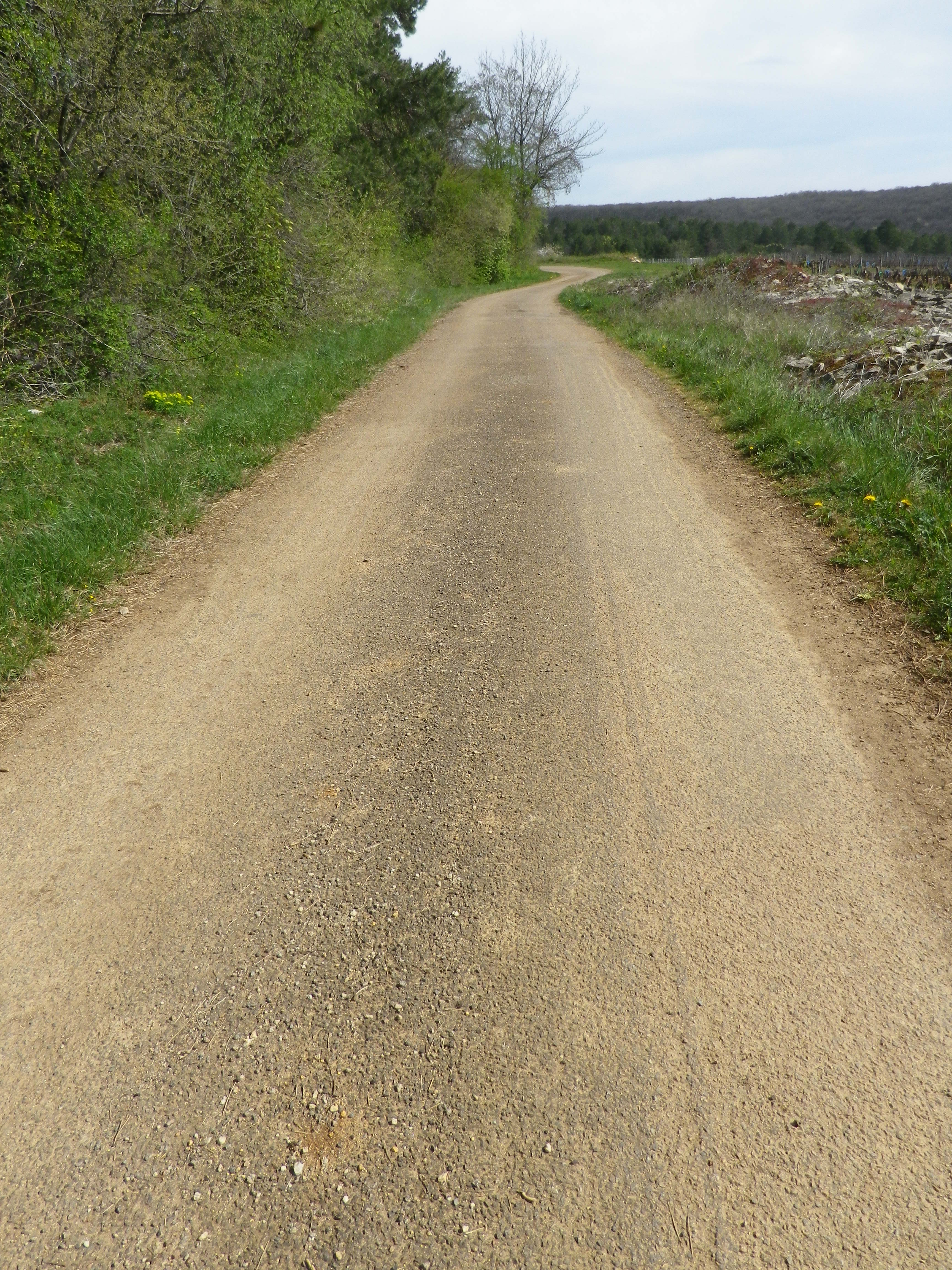
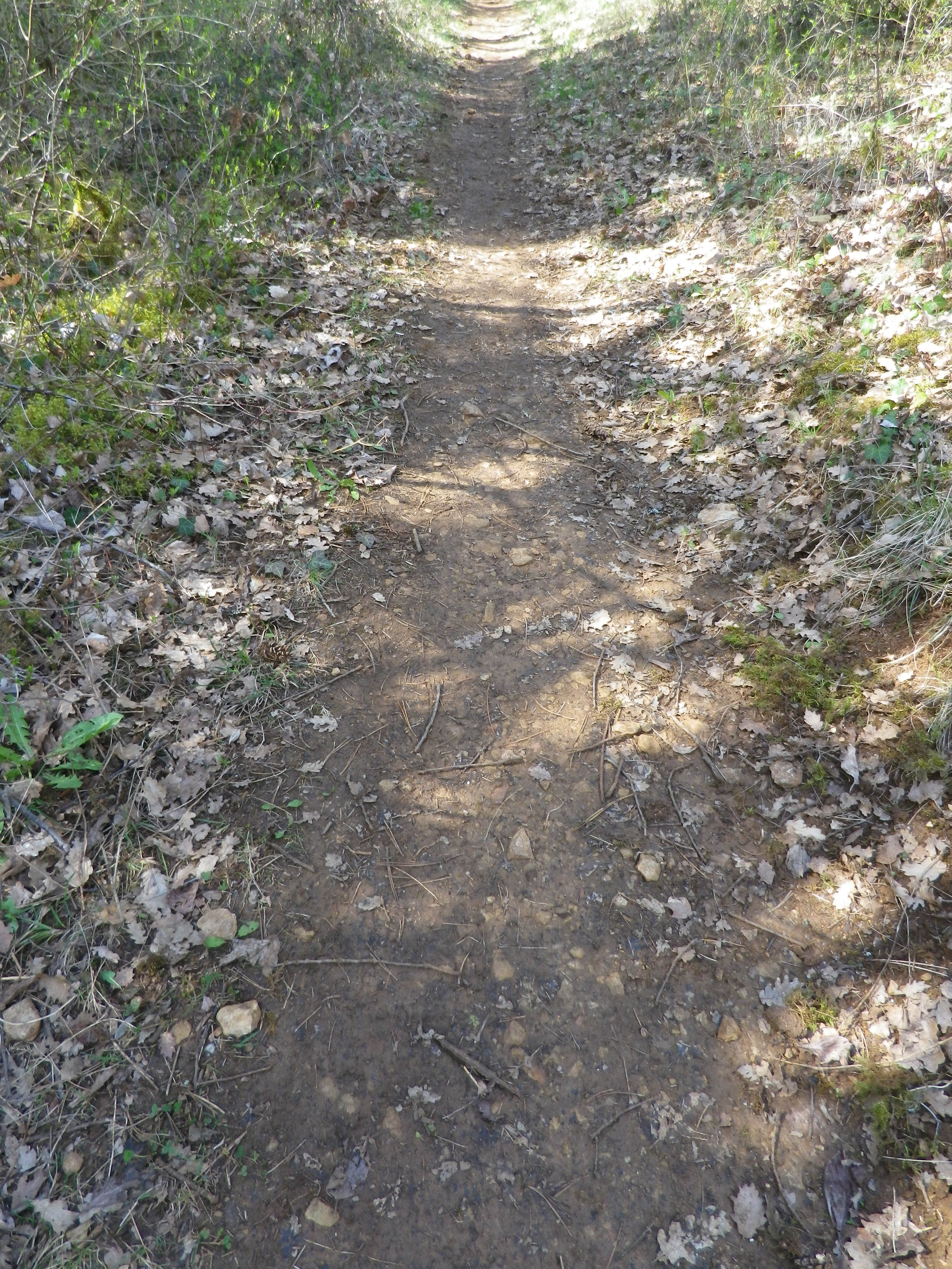
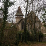
Representative Trail Photos:
Restrooms:
None observed!
Attractions on or near Trail:
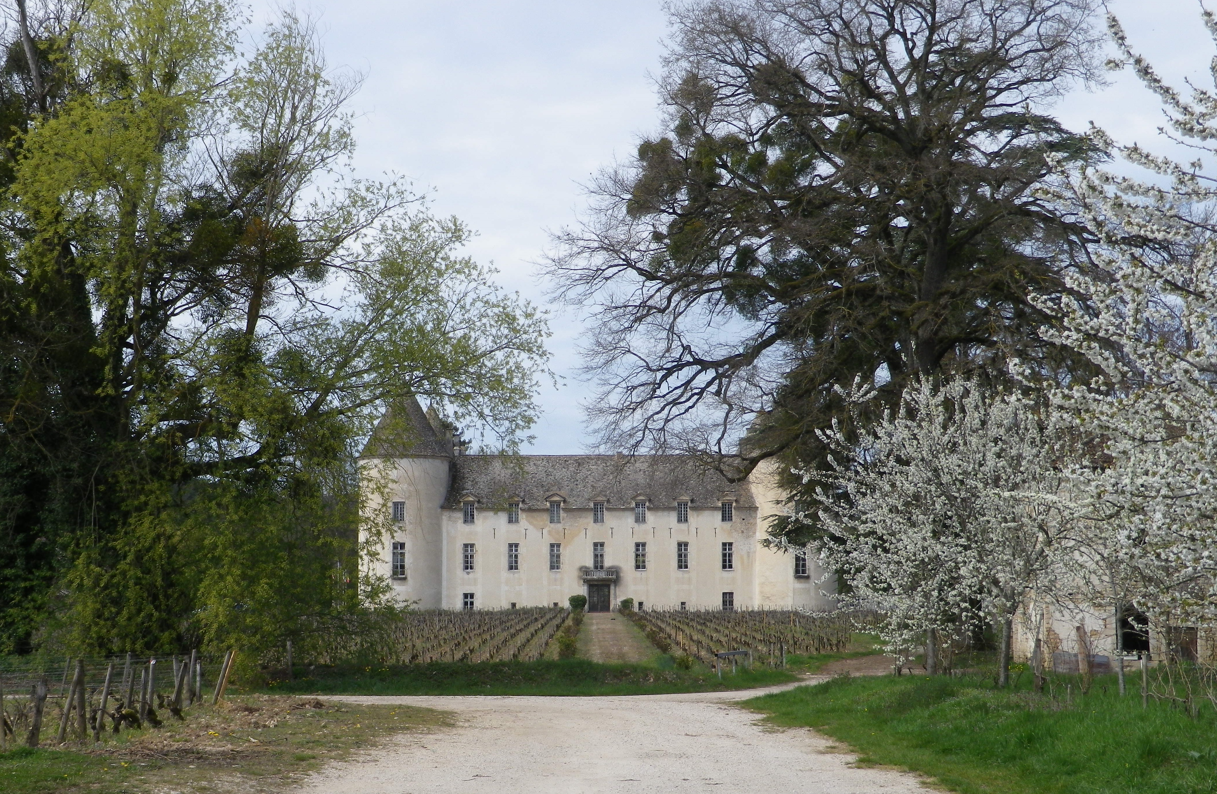
Chateau de Savigny has a museum with collections pertaining to wine and agricultural vehicles, as well as Abarth racing vehicles and fighter jets.
Tasting along the Trail:
Several wineries in town, and at the chateau.
Alternative Options:
Hiking: Beaune has several hikes around its vineyards, just south of Savigny. For an idea of one of them, see the Nutshell here. See others at http://www.beaune-rando-vigne.com/fr/circuits-vignoble-beaune/
Biking: Veloroute Voie des Vignes, an approximately 30-kilometer-long trail from Beaune to Santenay to Nolay, mostly on dedicated bike path!
Additional Information:
Regional: https://www.beaune-tourism.com/
Trail specific: https://www.beaune-tourism.com/ideas-for-round-trips/circuit-5-the-chemin-des-vignes-vine-route-615157
Comments:
A great hike for even people only moderately in shape, in an unspoiled Cote de Beaune wine village.
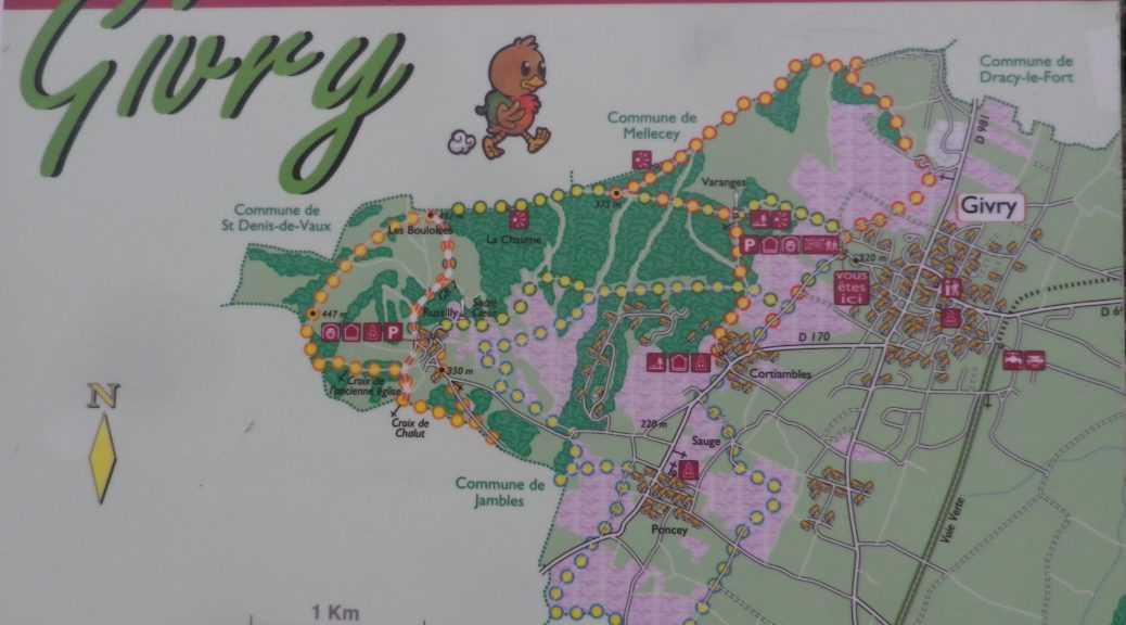
If, as King Henry IV famously stated, “Paris is worth a Mass”, then he also likely said: Givry is worth a glass. It was his favorite wine. As I hiked along the trail that meandered past its clos and vineyards, and strolled along its streets, I had reason to see why.
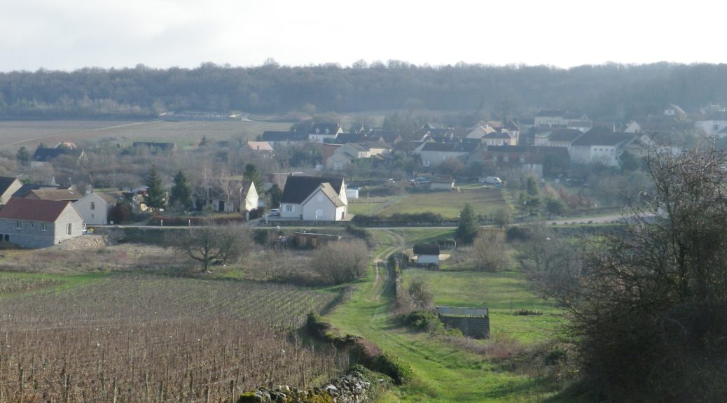
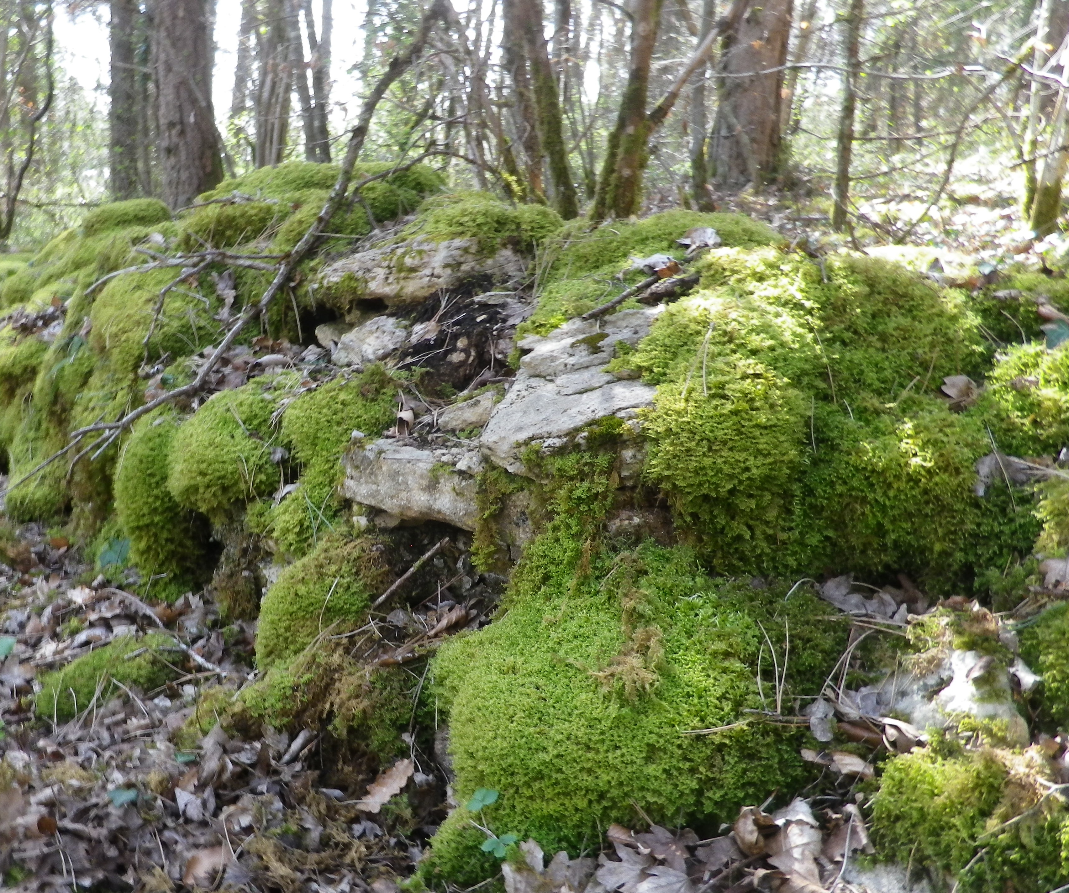
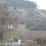
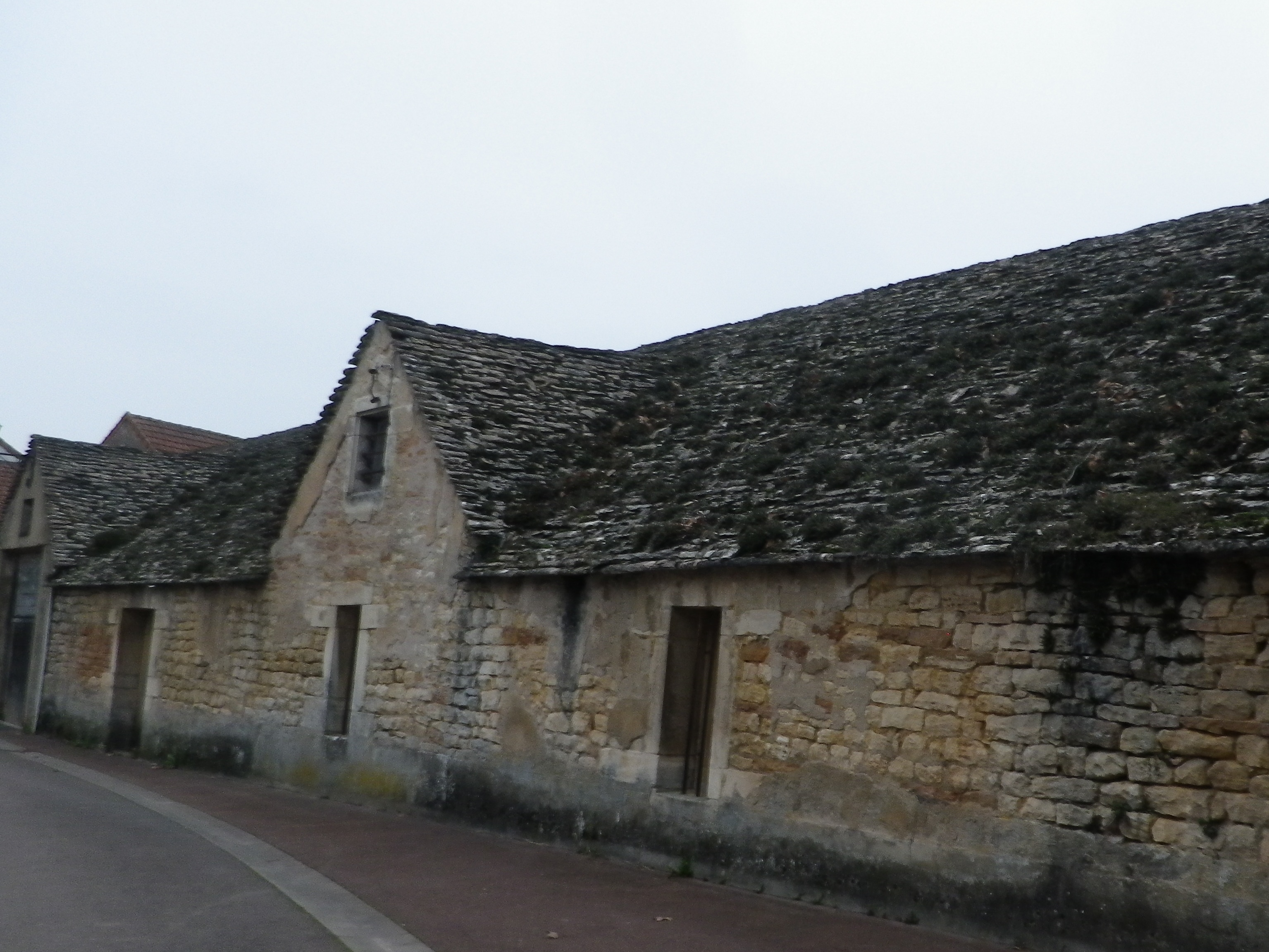
The stroll through town showcases some of its beautiful old buildings. Erected during different eras, they are all made of the amazing limestone that is so typical of many Burgundian buildings. Once out of town and in the vineyards, clos walls are made of the same material, albeit in January covered by moss and lichen in a colorful winter coat.
What I Learned
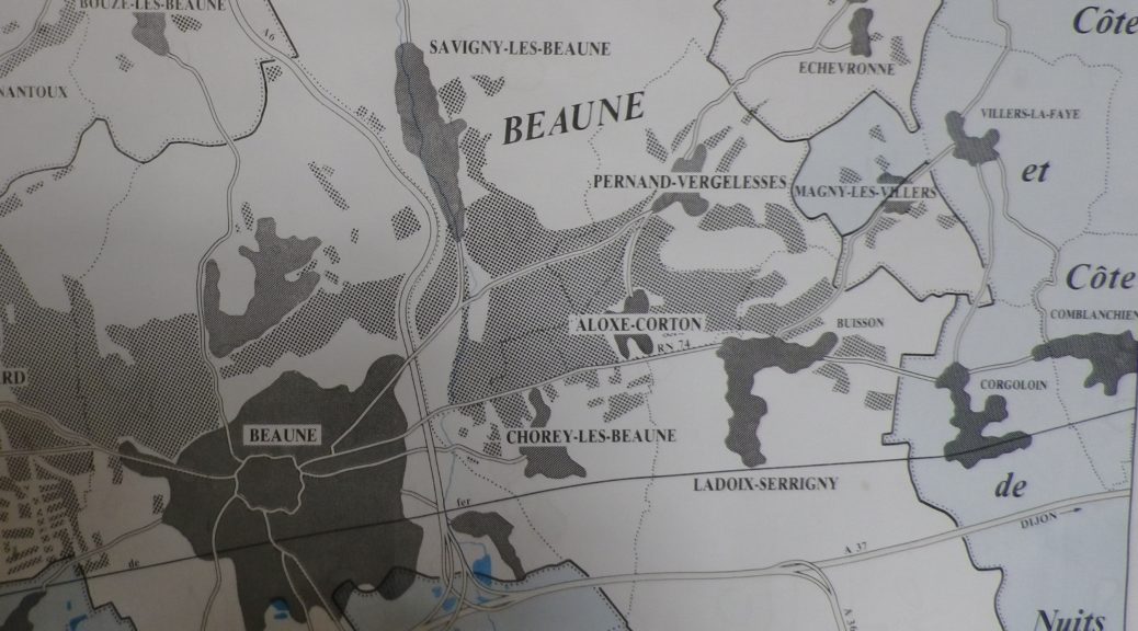
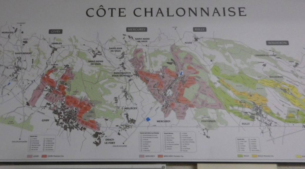
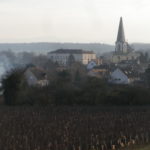
The town and township of Givry, surrounded by vineyards, lies in the sub-region of Burgundy known as Cote Chalonnaise. In this area, which also includes neighboring Dracy-le-Fort and Jambles, different appellations are in effect. From lower to higher on the quality scale they are the appellation of Bourgogne, the appellation of Cote Chalonnaise, and the appellation for the Givry. In addition to the Givry village appellation, there are similar village appellations for nearby Mercurey, Rully, and Montagny-les Buxy. While some experts opine that Mercurey consistently produces the highest quality wines of these four villages, Givry runs a close second. Both produce mostly red wines from Pinot Noir grapes. Montagny-les-Buxy produces exclusively white wines from Chardonnay grapes. Givry produces only about ten percent white wine, but these wines can sometimes provide discerning tasters an unusual licorice note.
Trail Name: Decouverte Nature de la Cote Chalonnaise (to give it the full name)
Trail Type: mid-distance circuit trail; fairly well-maintained and very diverse trail surfaces, marking on the trail overall fairly good in some places, but missing in others
Length:
Total – 10 kilometers/6.2 miles
Convenient to: Chalon-sur-Saone, France
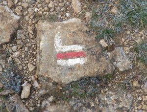
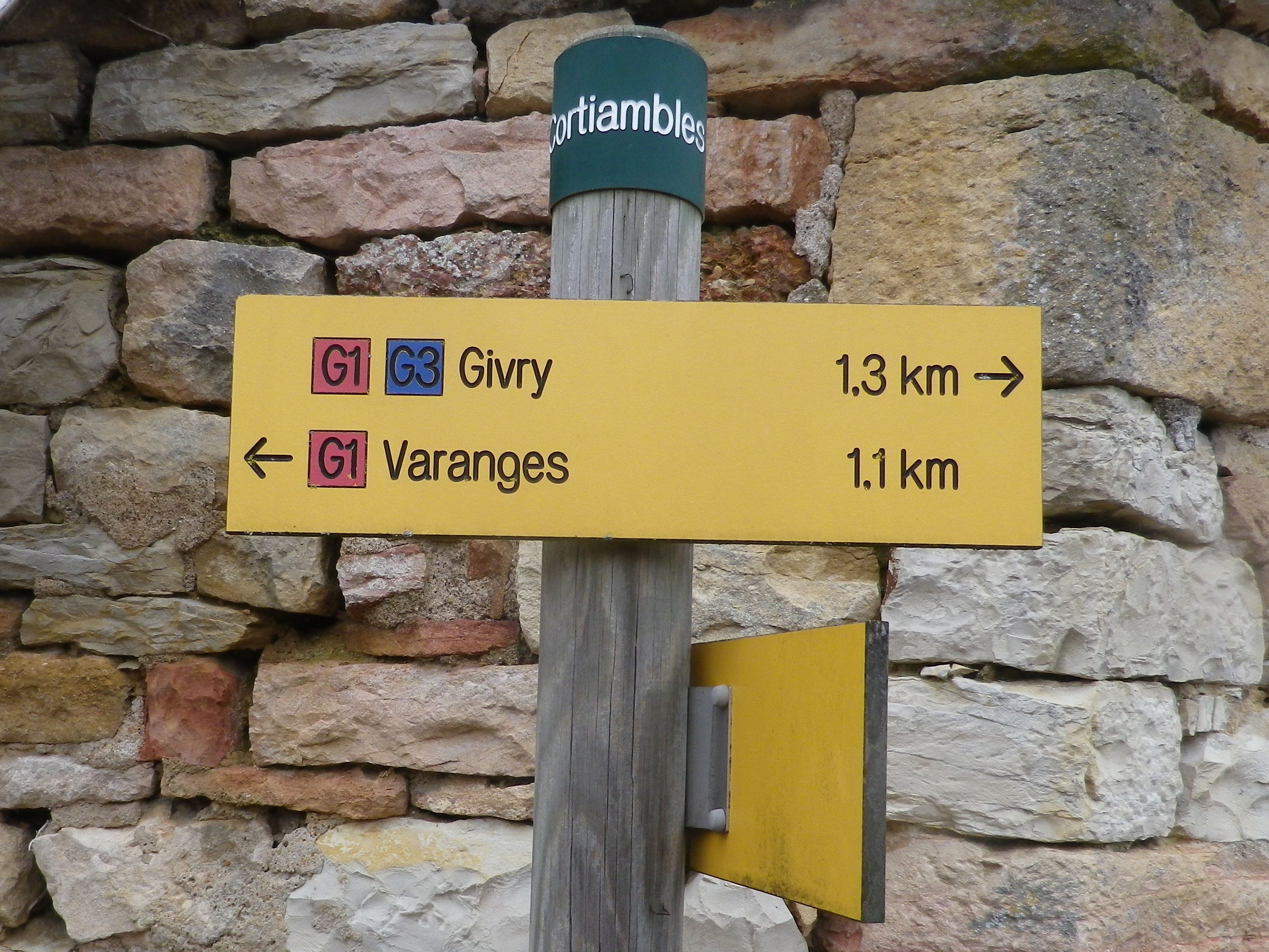
Marking: Varies, (G2, G3, and in one section red and white bars) but key spots are identified by location posts, and any or all of the above markings.
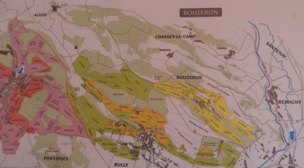
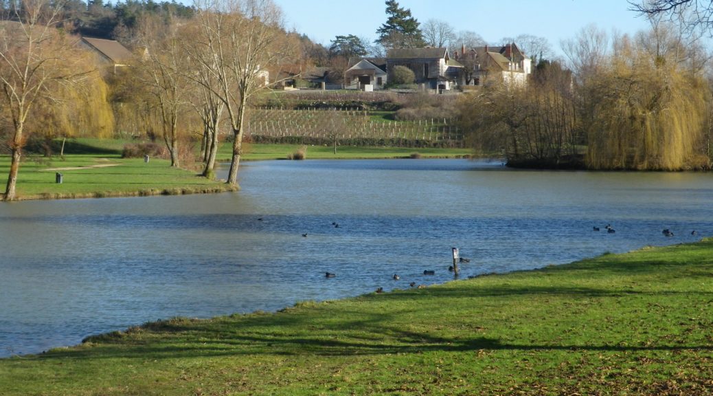
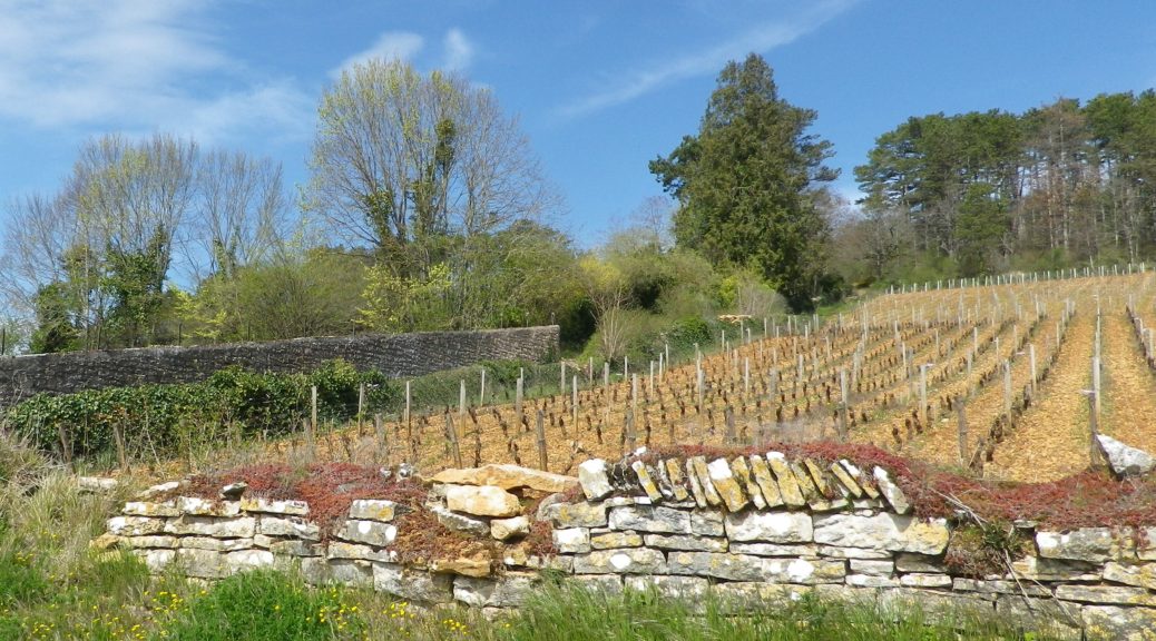
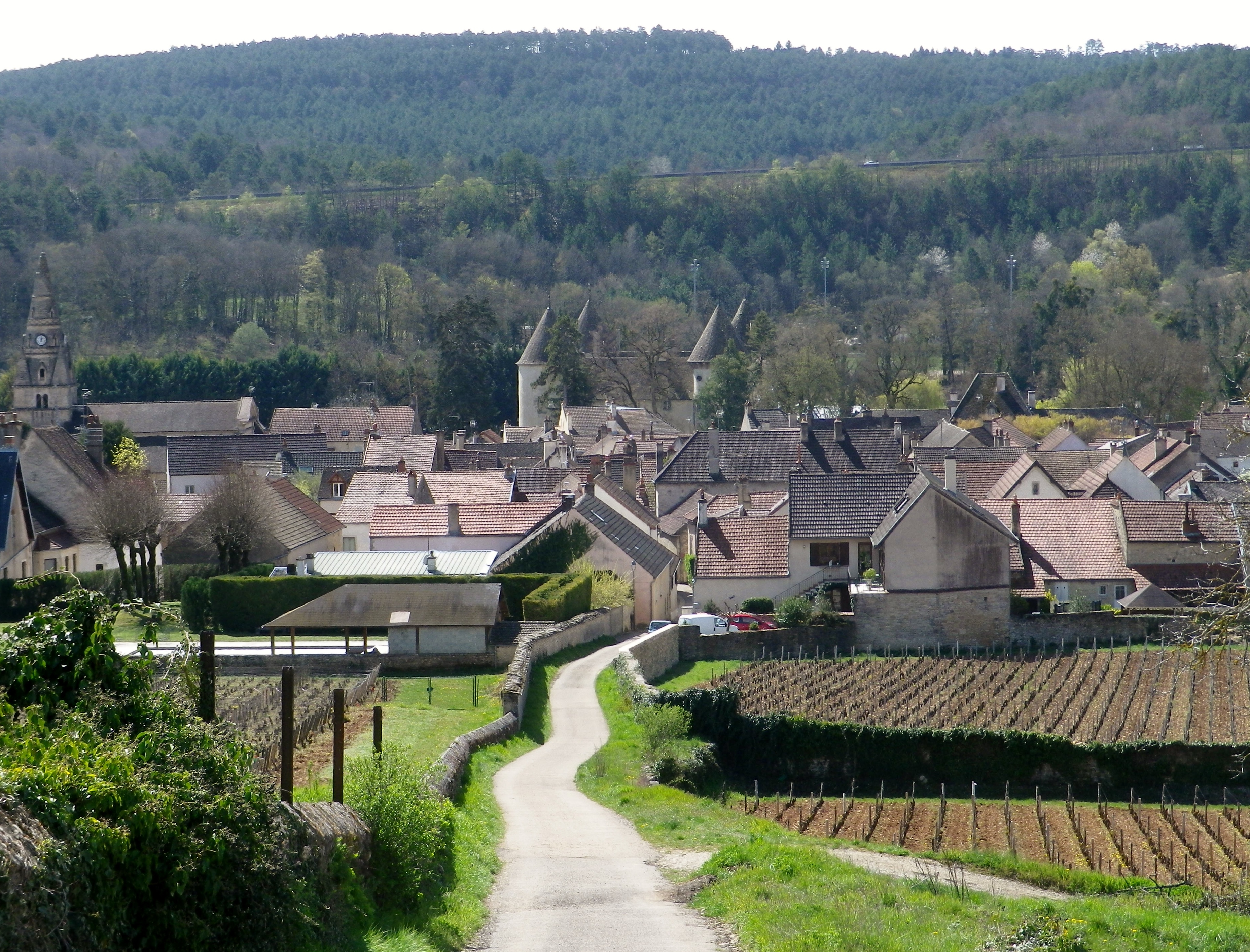
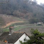
Dramatic terrain, bucolic villages, and an unusual varietal wine – this was what I found in Bouzeron. It is a small village in the Cote Chalonnaise, within view of the Cote d’Or, Burgundy’s most famous hillside. But Cote Chalonnaise wines, and indeed the region itself, is no poor second. In fact, with unspoiled villages, a wealth of architecture, terrains, and good hiking trails, as well as a co-equal passion for food and wine, I was thoroughly delighted with my all-too-brief visit.
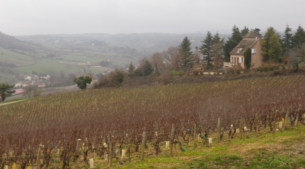
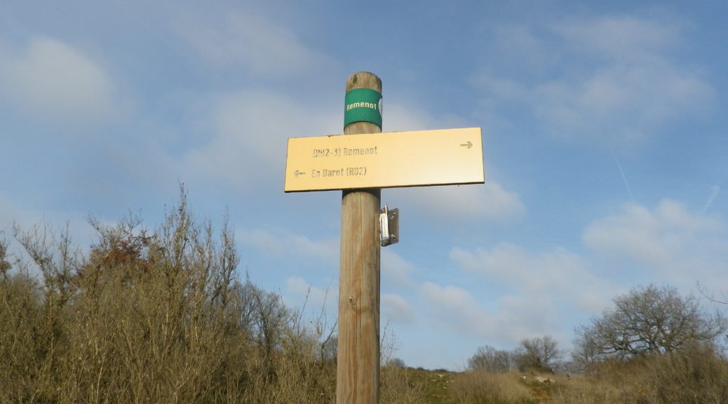
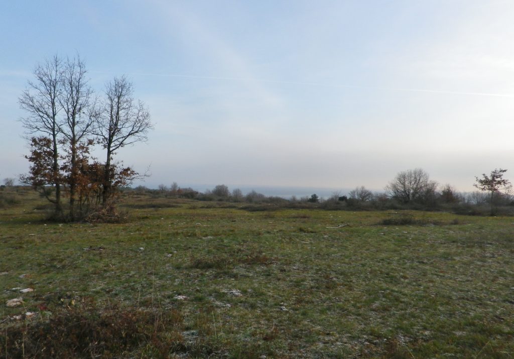
The village of Bouzeron and the Vignes et Vallees trail around it, epitomized this sentiment. There was plenty of parking in the village, so that is where I left the car, early one winter morning. Starting from the village guaranteed that I would be climbing for ten minutes or so, which helped warm me up. Before I knew it, I was atop the Montagne de la Folie (or Remenot), looking east over Rully, and out toward Chalon sur Saone. It was a beautiful spot.
What I Learned
Bouzeron is famed for its Aligoté wine. In fact, the small village holds the distinction of having the only village AOC in France dedicated to the Aligoté varietal, Appellation Bouzeron Controlee. The Aligoté grape and its wines tended be overlooked in the past, but made a comeback. Nowadays, they are often promoted as aperitive wines as their taste tends to be light, fruity and crisp.
Aligoté is a hybrid of the red/black Pinot Noir and the Gouais Blanc grapes. First mentions of this grape appeared in the late 1700s. Because it does well in cold grape-growing regions, it has recently been planted in Washington State, Chile and some Eastern European nations. As a flavor profile, Aligoté wines often have citrus, green apple, and white floral notes. This also makes them ideal for one of region’s most favored aperitive wines, the sparkling Cremant de Bourgogne, on its own or blended with Chardonnay. (In this case, the resulting sparkling wine could fall under the Appellation Cremant de Bourgogne).
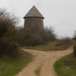
Trail Name: Vignes et Vallees (Aka : Au Fil des Vignes et Vallees)
Trail Type: Mid-distance circuit; well-maintained, surfaces vary from road, to grass, to dirt paths, to rock rib, marking on the trail rather good
Length: 13.25 kilometers/8.25 miles
Convenient to: Chalon-sur-Saone, Santenay, France
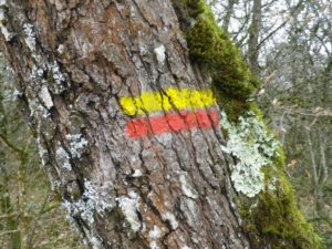
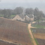
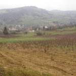
Marking: Two types, long distance and more local (red and white bars, or red and yellow bars, respectively), as well locational and directional signposts. (See featured photograph above)