Trail Name: Chemin des Vignes (AKA : Circuit 5)
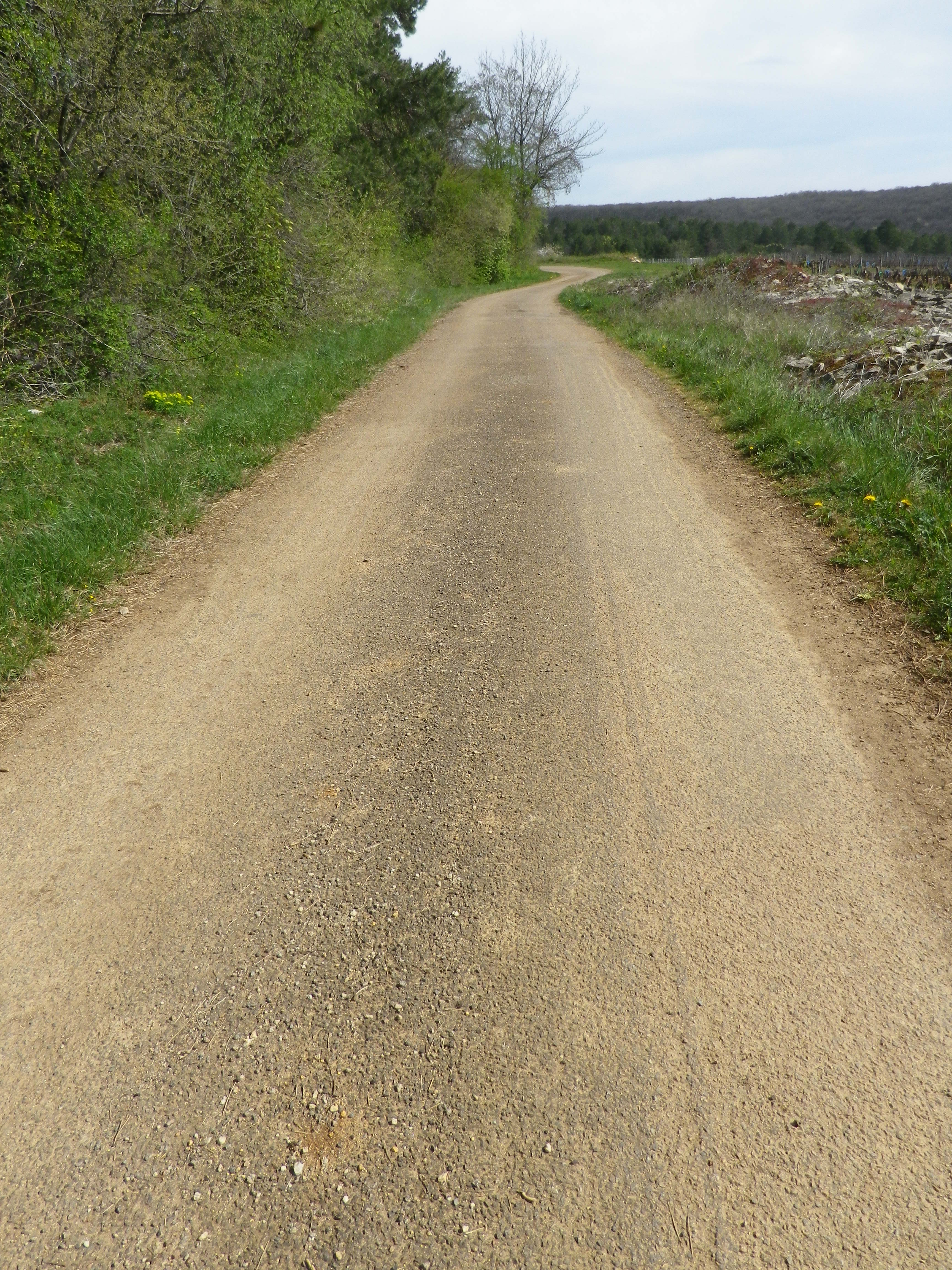
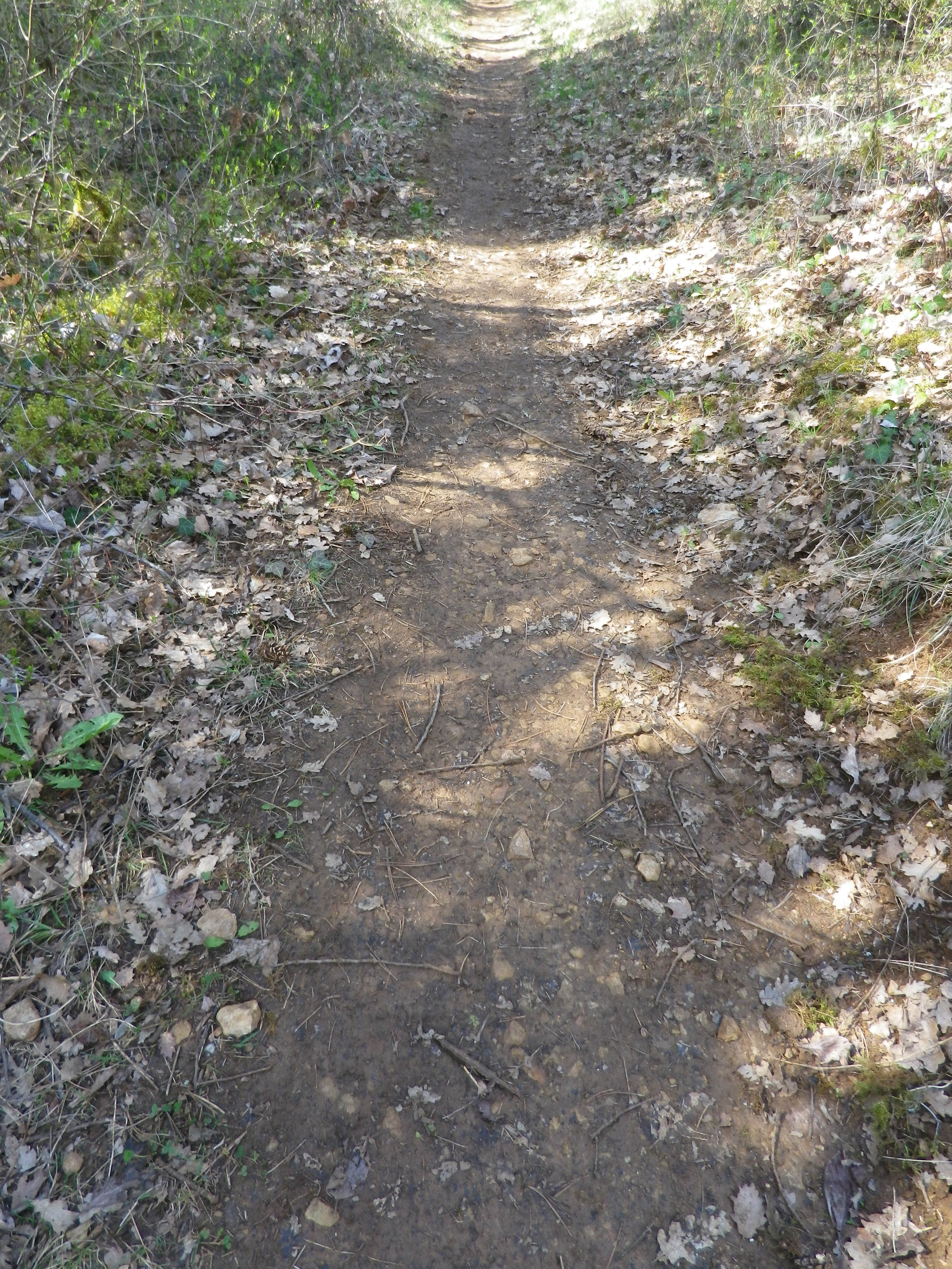
Trail Type: Mid-distance circuit; well-maintained and with a variety of surfaces from rough and scree to tarmac. While trail-specific signage can vary (see below), overall marking on the trail is rather good.
Length:
Total – 11.5 kilometers/7 miles
Convenient to: Beaune, France
Marking:
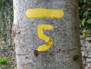
Painted yellow bar(s) indicating trail and/or direction, and sometimes a yellow number 5; the occasional yellow sign with a black number 5 on it; yellow signs on posts with black letters indicating PR 5.
Trail Description: This trail has a great variety of terrain, elevation, scenery, and flora, all along a relatively easy circuit trail that circles the small town of Savigny-les Beaune and its well-known vineyards.
Trailhead:
Official: Savigny-les-Beaune, Rue des Chanterives
Alternate: Rue General Leclerc x Rue Soeur Gaby
Parking:
Savigny-les-Beaune: Rue des Chanterives x Route de Bouilland/D2(opposite camping site)
Savigny-les-Beaune: Limited parking along the street of Rue General Leclerc
Public Transportation Options:
Bus: The Cote&Bus company runs Line 10 round-trip from Beaune to Savigny-les-Beaune. It appears to service a school route, as well as commuters into Beaune, so be sure to check the website (www.coteetbus.fr) for changes or required reservations.
Rail: Nearest rail service is in nearby Beaune
Suggested Stages: Not applicable
Trail Itinerary-Reference Points: (North-South/Clockwise)
Savigny-les-Beaune: Chemin des Vermots, also seen on some maps as Chemin de la Grande Chaume, right onto a straight trail through woods all uphill, vineyards, then a long stretch through forest; Cross Chemin de Citeaux, along the Combe de Barboron (a vale), follow R du Jarron about 150 meters uphill, turn right through vines, then forest; downhill between walls to picnic table, downhill on the agricultural road/C7; Savigny-les-Beaune: southeast on R Dr. Guyot/D2, R des Porches, R Soeur Gaby, cross the creek and continue straight onto a grass path), past sports fields (fighter jet collection on the right), R des Combattants, R Chanoine Donin-Chemin des Carrieres, parallel the highway for about 400 meters; through forest; downhill on R des Fatains, R des Petites Chanterives
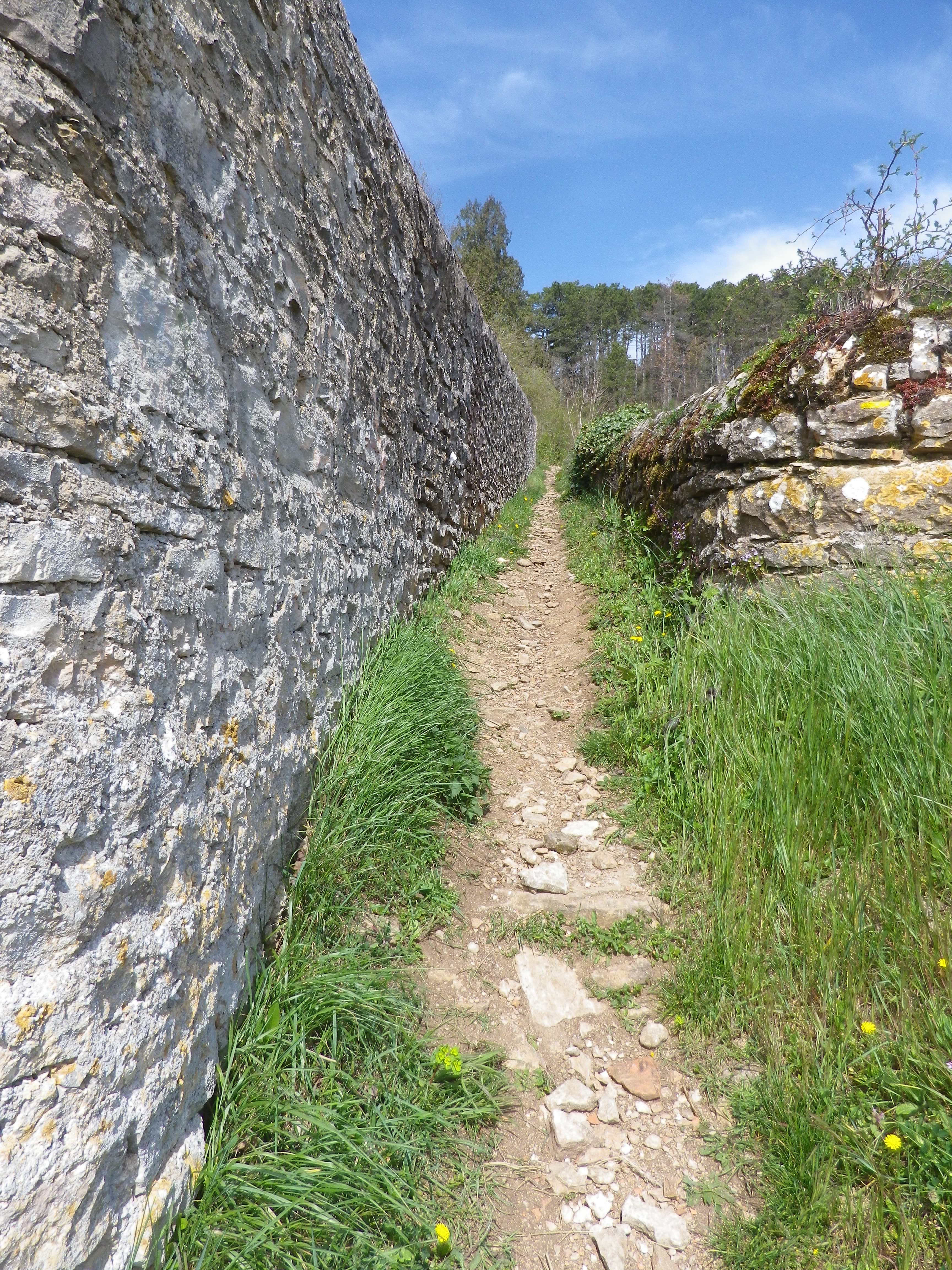
Representative Trail Photos:
Restrooms:
None observed!
Attractions on or near Trail:
Chateau de Savigny has a museum with collections pertaining to wine and agricultural vehicles, as well as Abarth racing vehicles and fighter jets.
Tasting along the Trail:
Several wineries in town, and at the chateau.
Alternative Options:
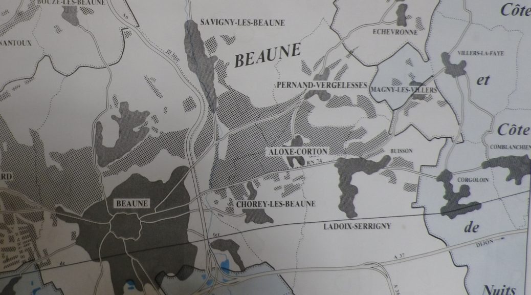
Hiking: Beaune has several hikes around its vineyards, just south of Savigny. For an idea of one of them, see the Nutshell here. See others at http://www.beaune-rando-vigne.com/fr/circuits-vignoble-beaune/
Biking: Veloroute Voie des Vignes, an approximately 30-kilometer-long trail from Beaune to Santenay to Nolay, mostly on dedicated bike path!
Additional Information:
Regional: https://www.beaune-tourism.com/
Trail specific: https://www.beaune-tourism.com/ideas-for-round-trips/circuit-5-the-chemin-des-vignes-vine-route-615157
Comments:
A great hike for even people only moderately in shape, in an unspoiled Cote de Beaune wine village.