Tag Archives: hiking Austrian vineyard trails

The Heights of Styrian Vines


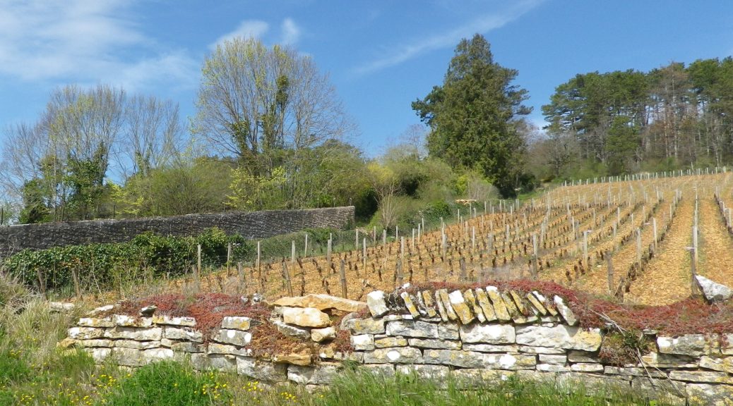
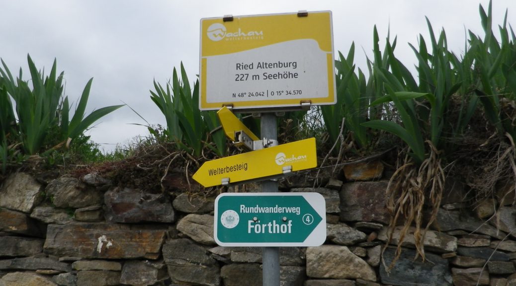
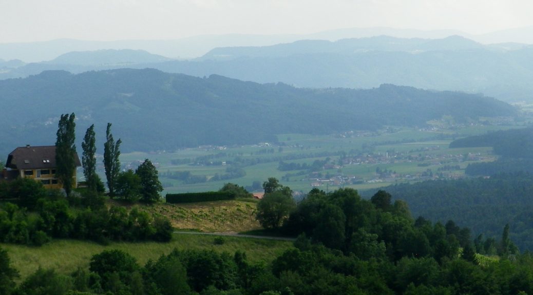
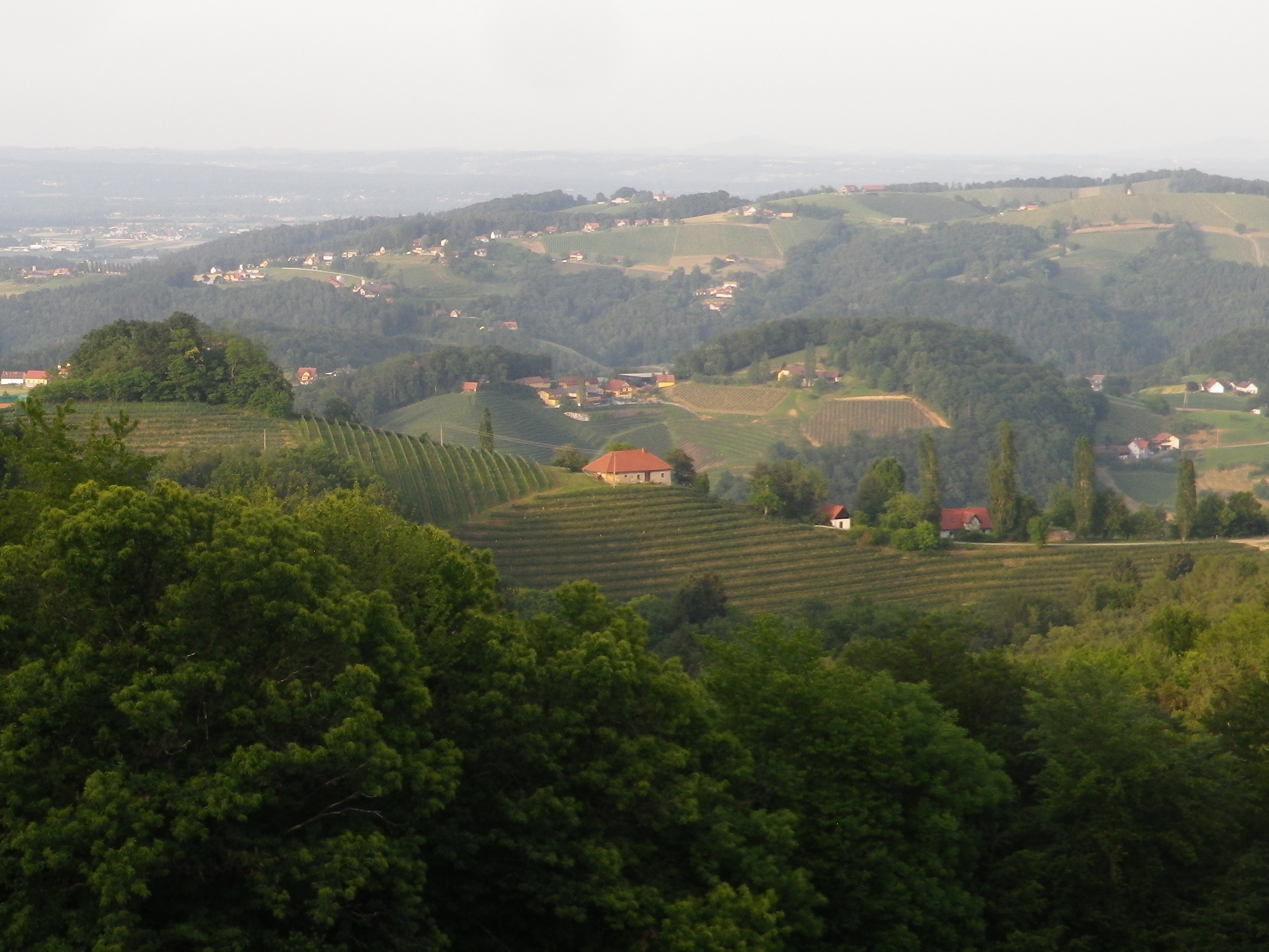
Set in the highest wine village in Europe, the Kitzecker Weinwanderweg surely lived up to its name, with multiple steep, vine-laden slopes to conquer, culminating in a sense of standing on top of the wine world. But having multiple opportunities to crest some of the highest slopes in the district, I could see for myself the incredible 360 degree vistas that height affords, all around this tranquil village in southern Styria.

A View From Kitzeck


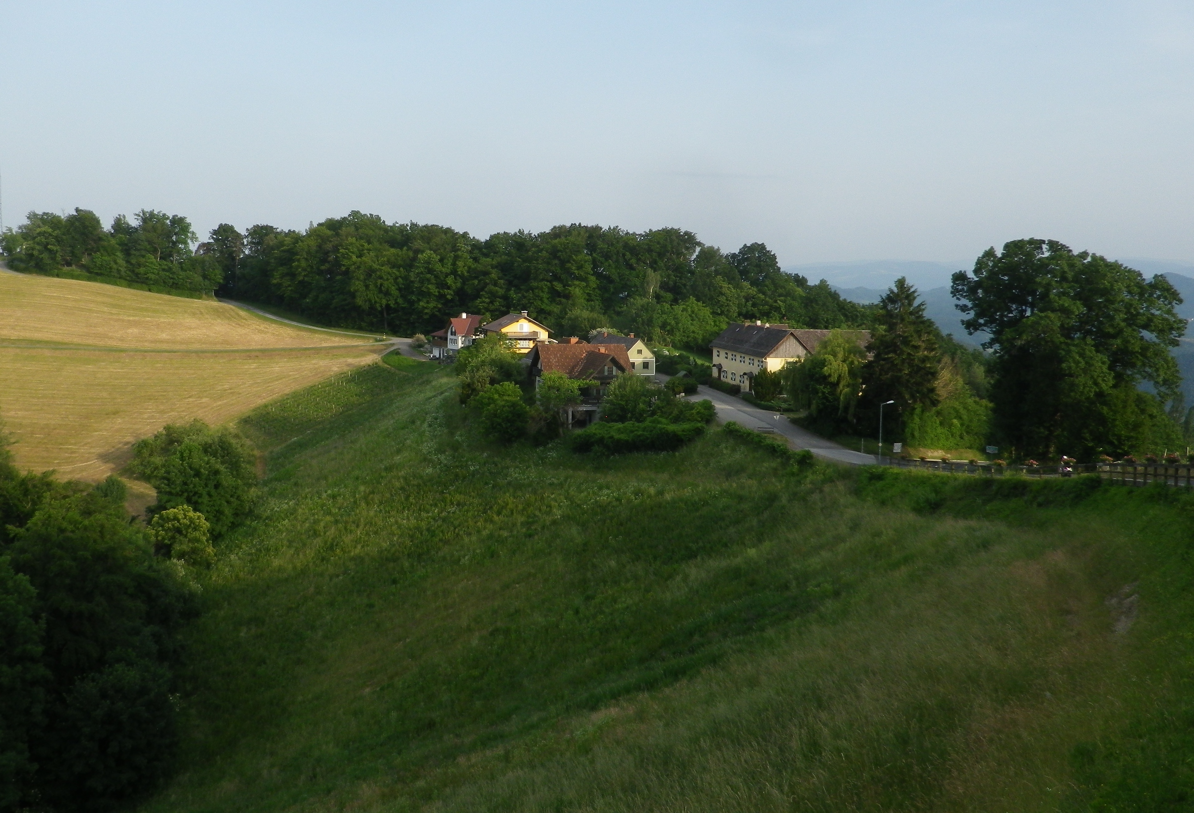
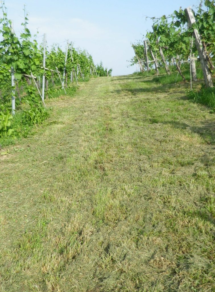
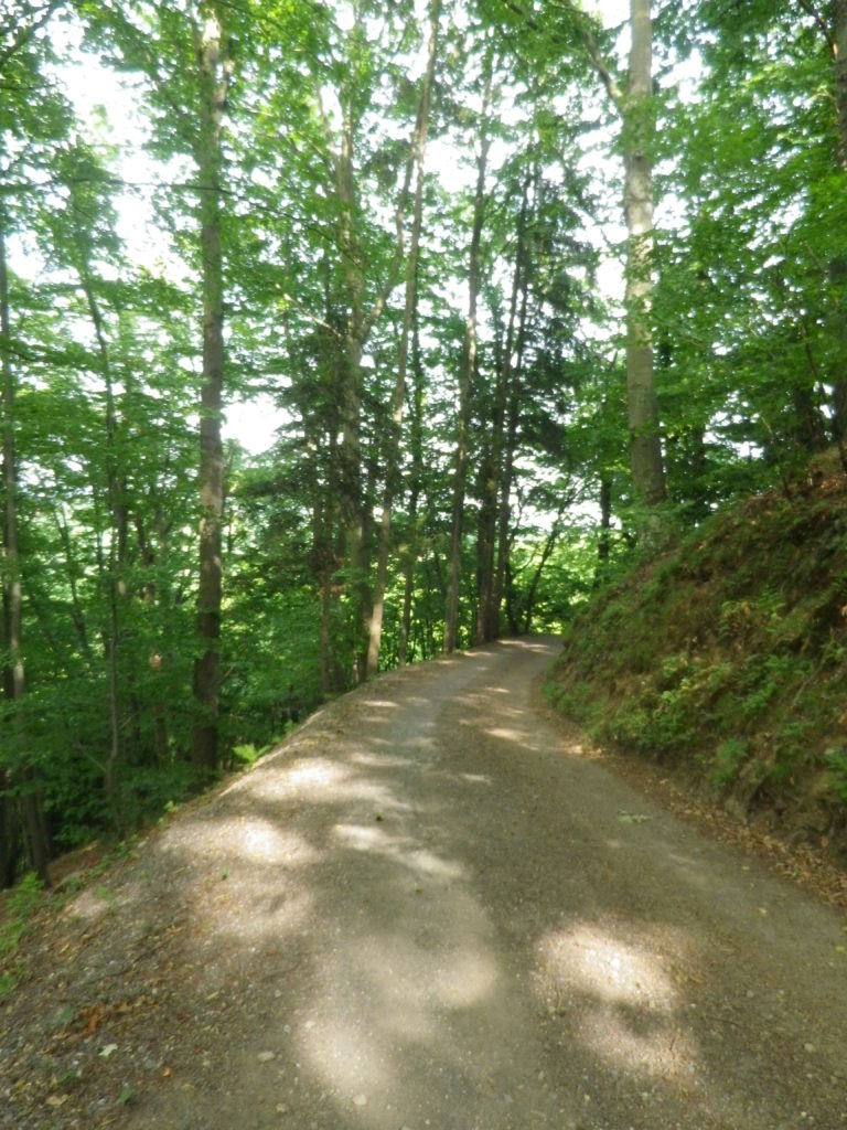
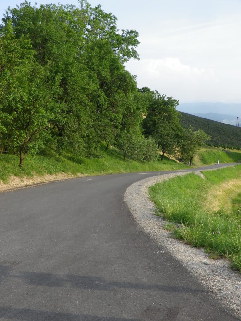
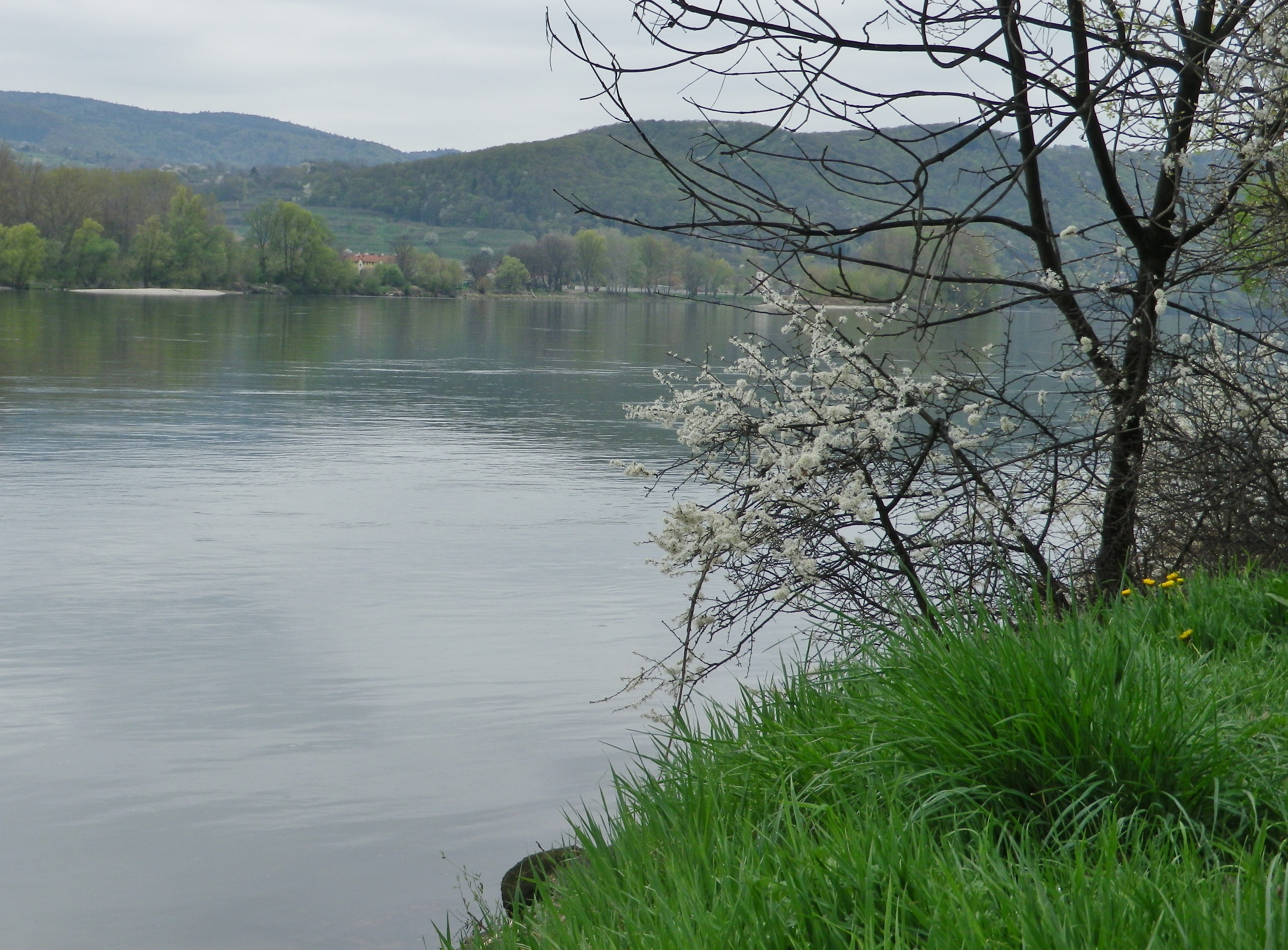
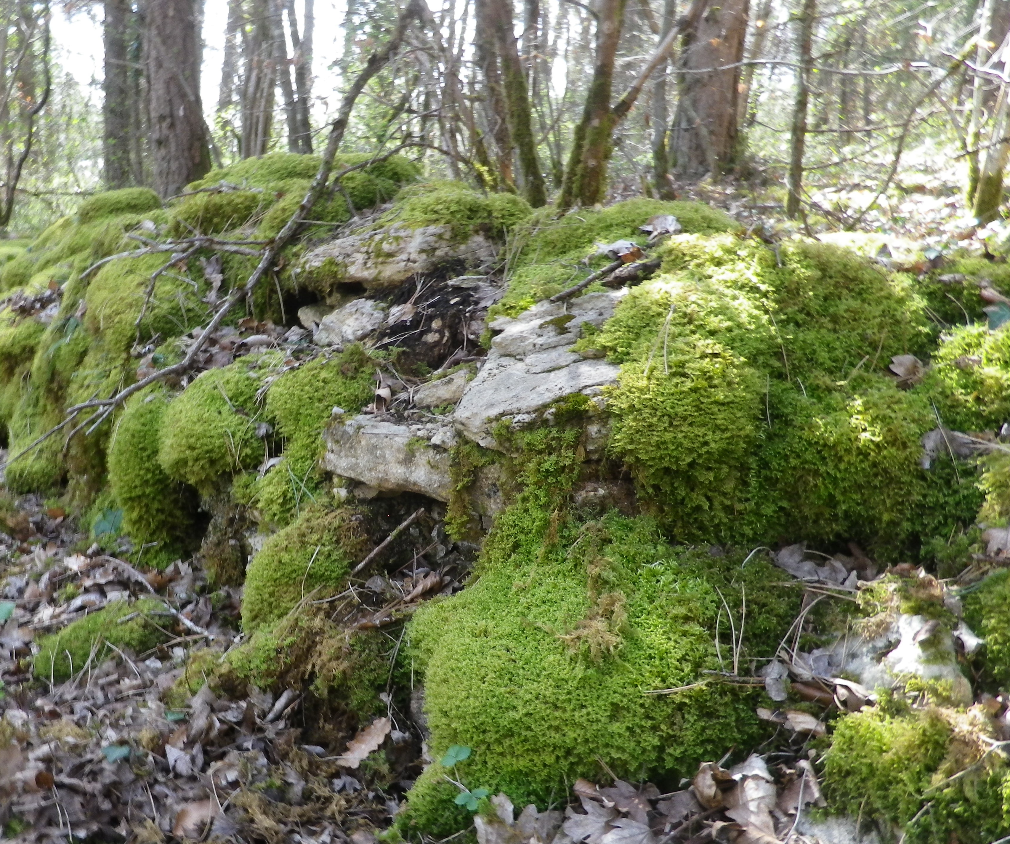
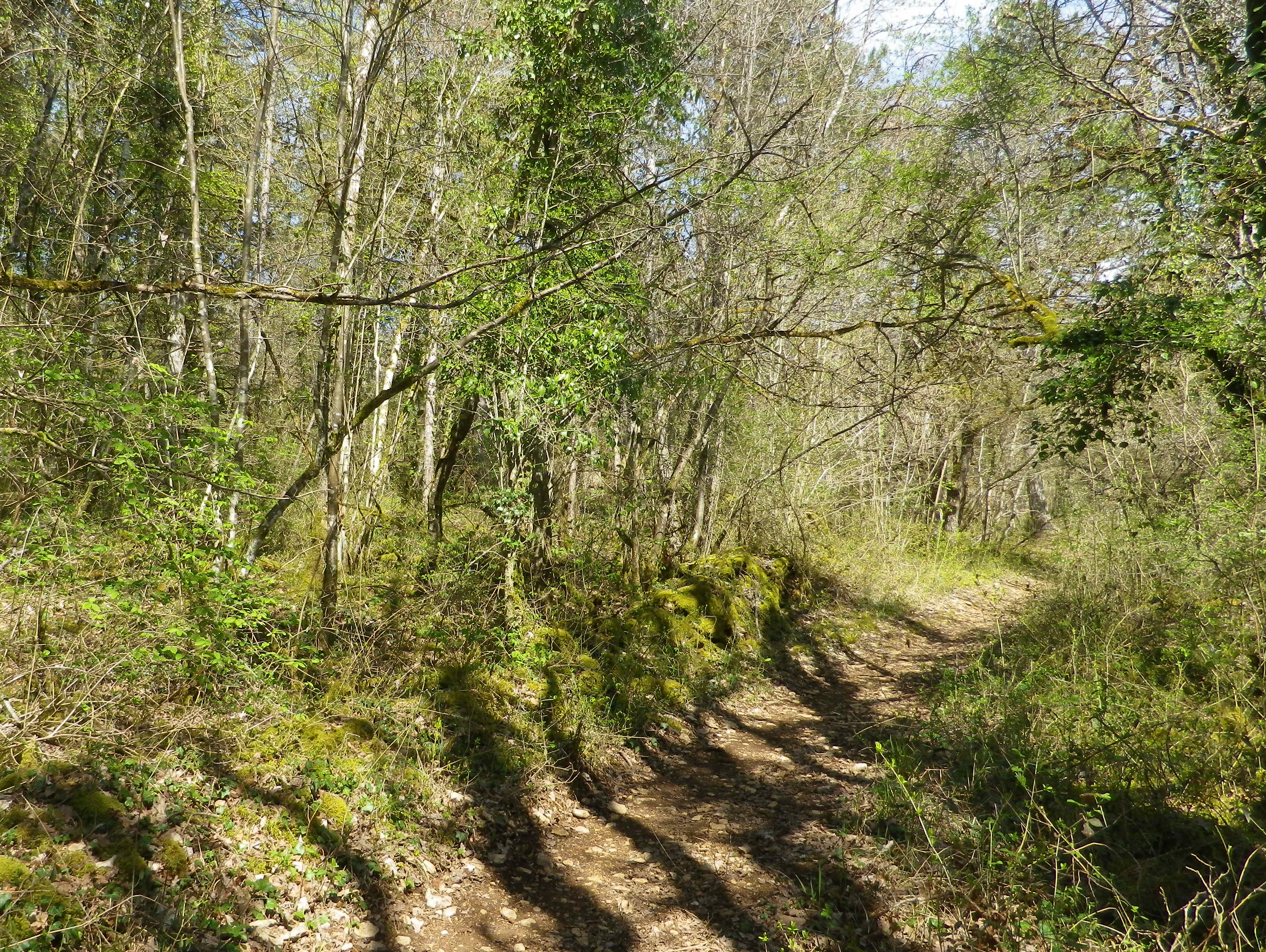
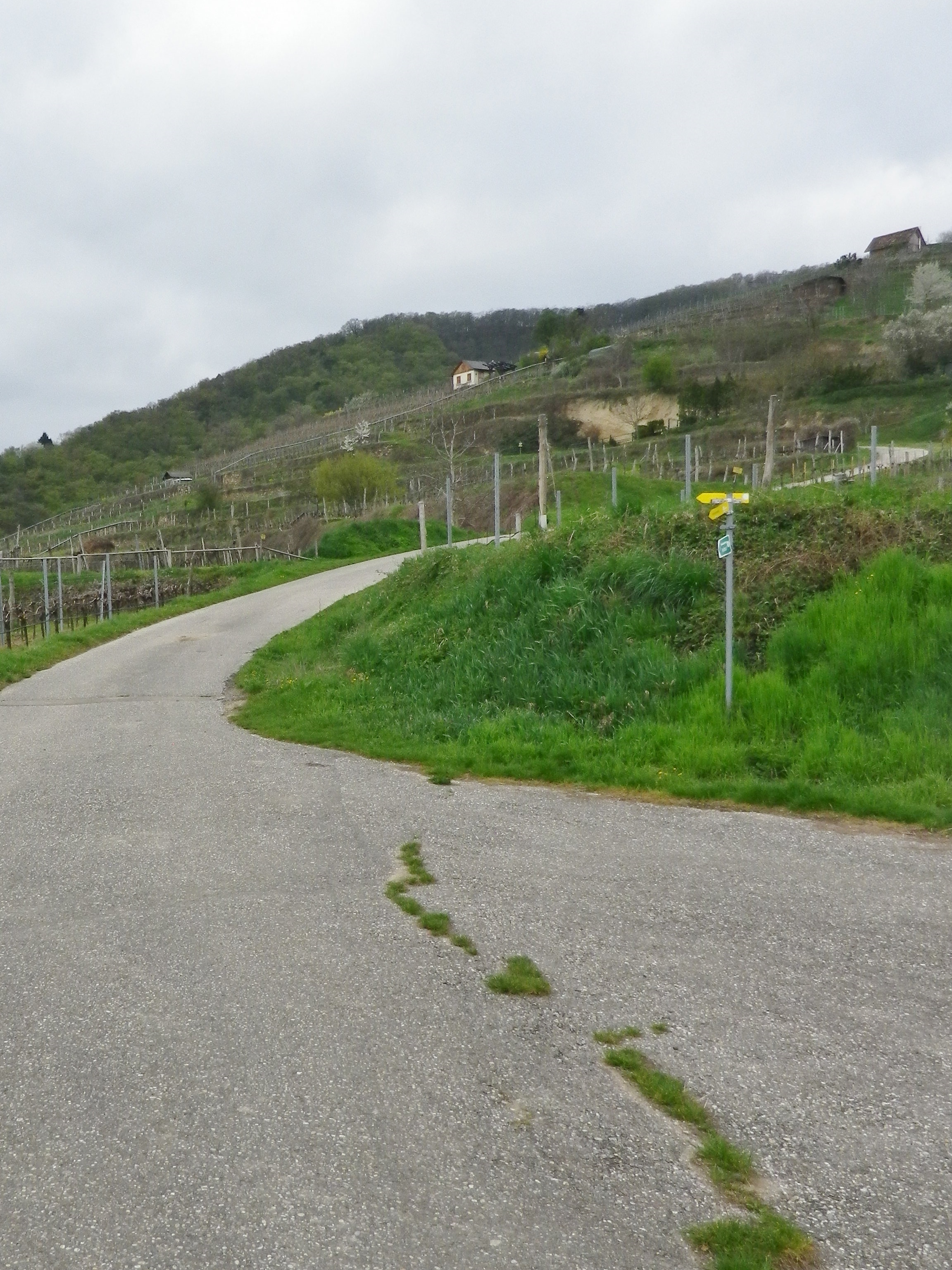
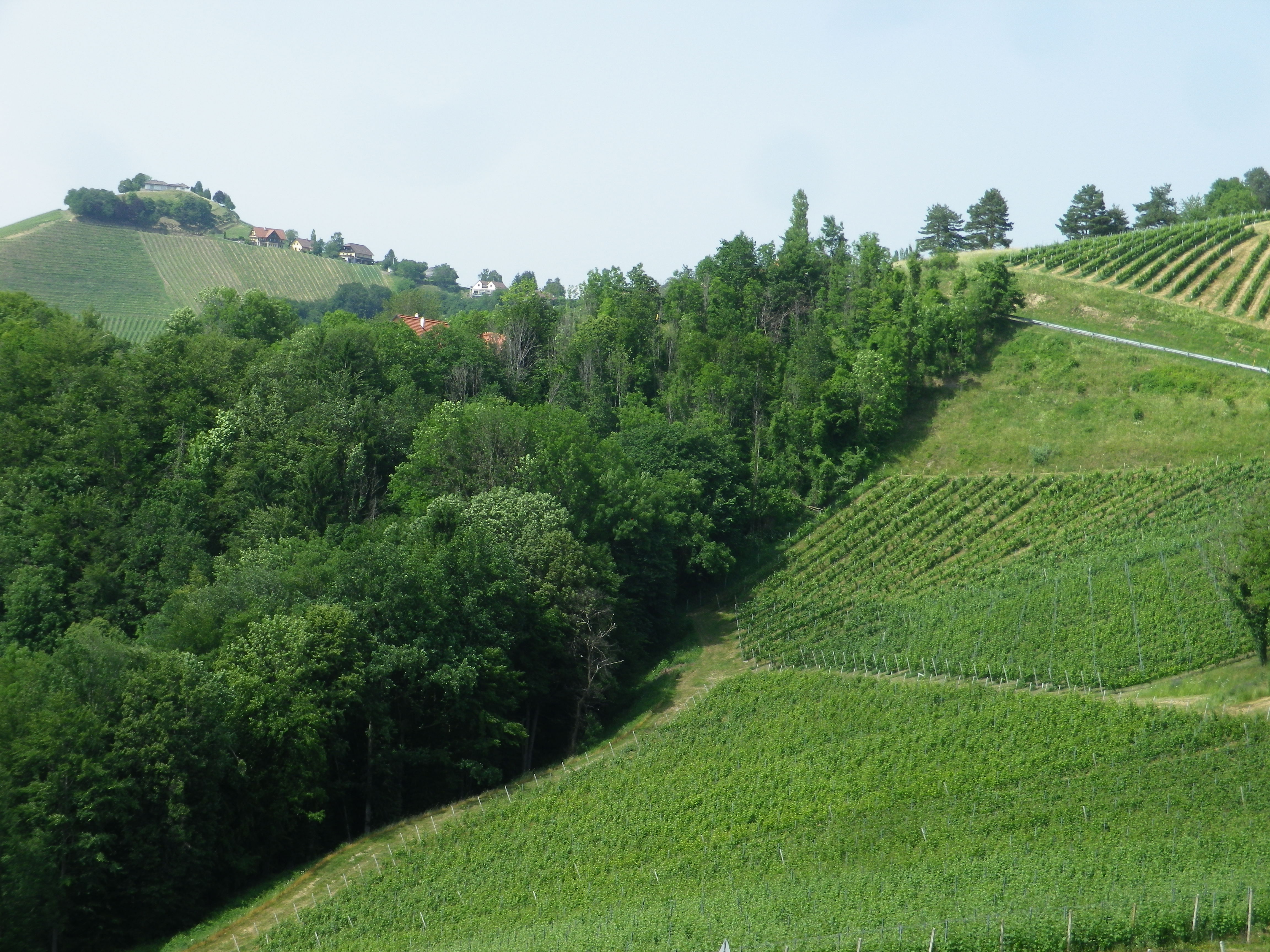
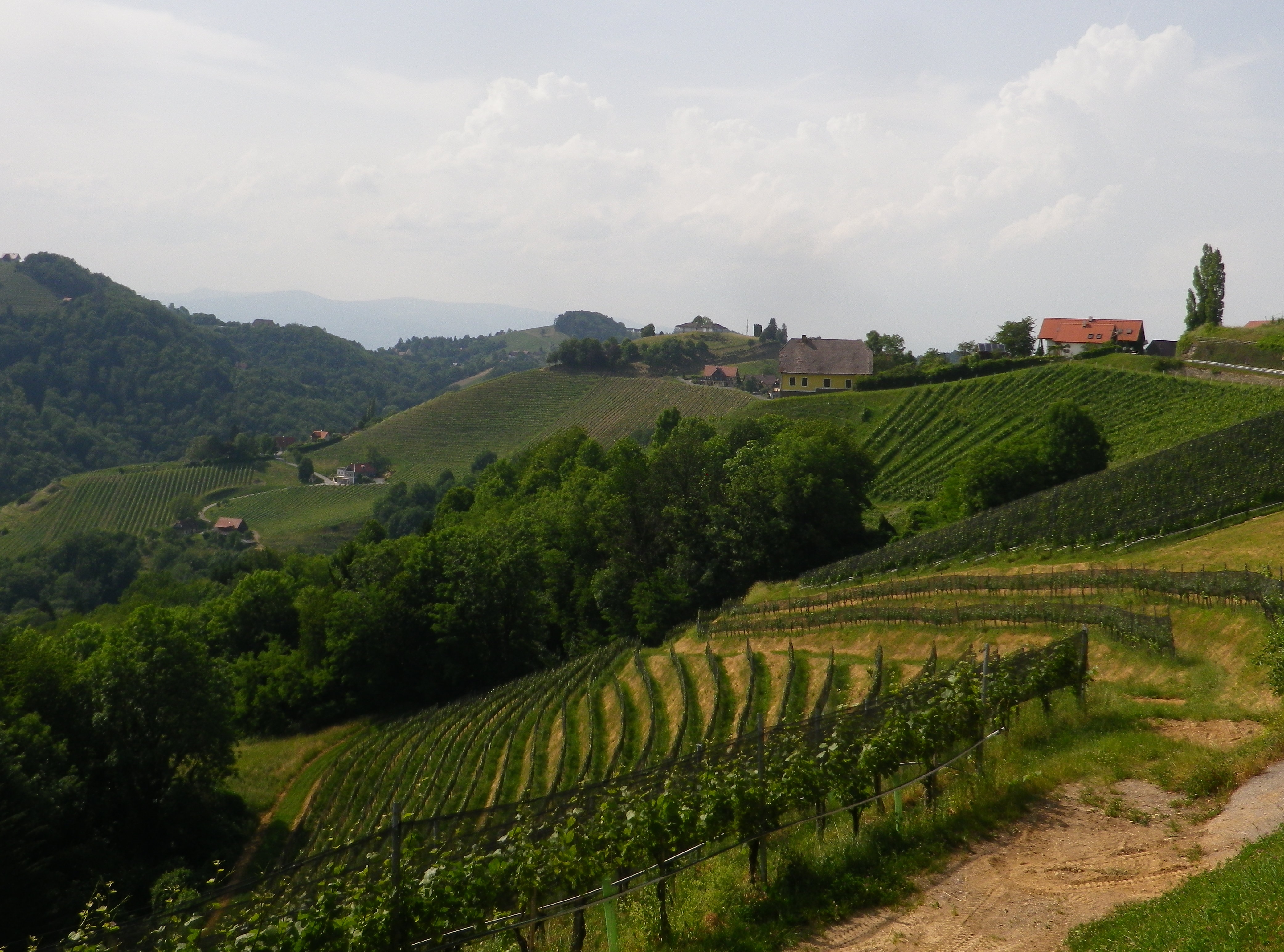
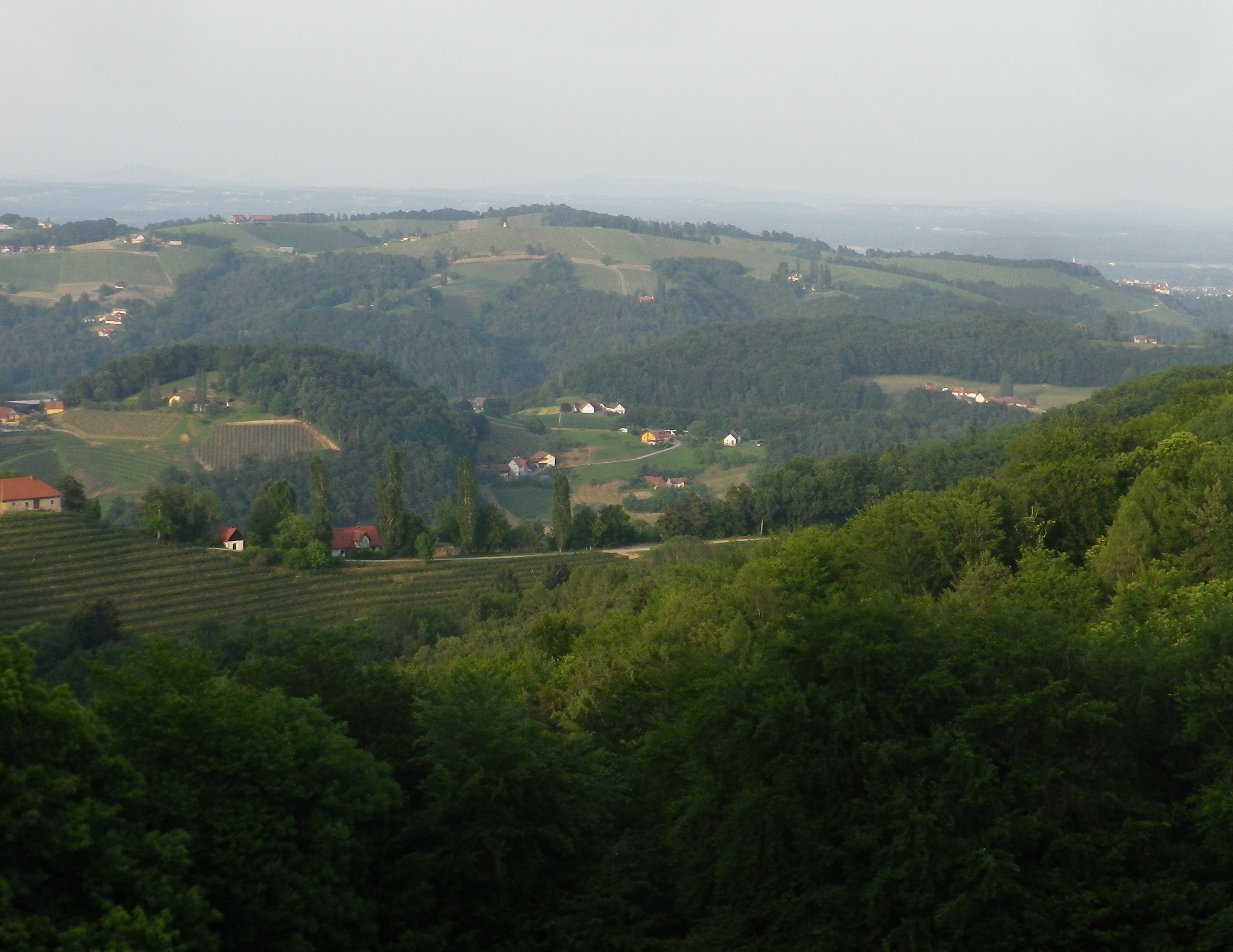
The trail was nicely laid out. The elevation changed constantly, leading through diverse landscapes. From village center to meadows and forests. Then there were the vineyards, irregularly shaped parcels covering sun-drenched slopes, often in view, and only occasionally passed through. There were streams and hillsides to walk along, usually shaded by old trees. In other words, there is a lot of variety to be had in a relatively short distance.

Trail Along the Stream


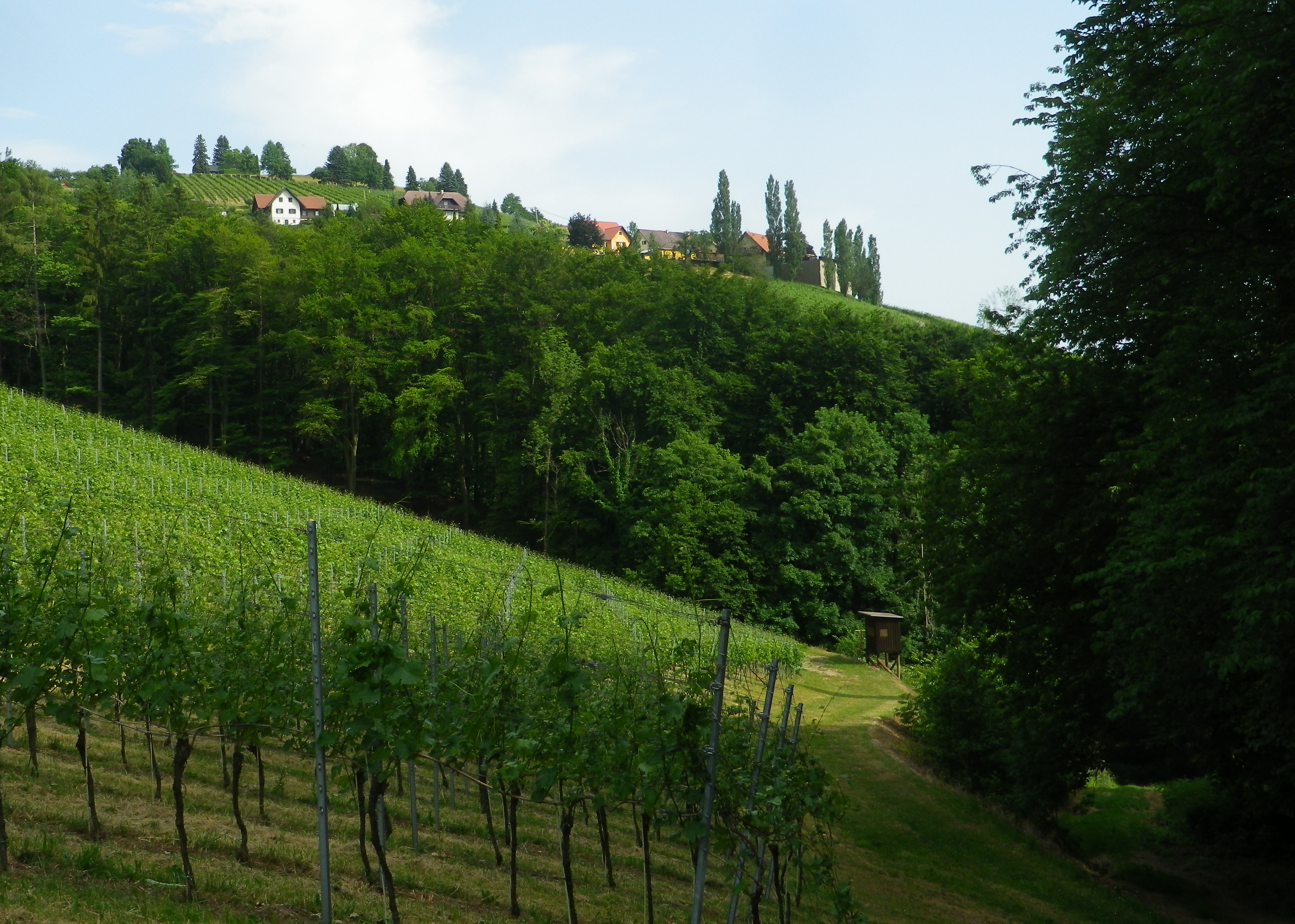
Hiking this trail in June meant long days, hot sun and lush vegetation in the meadows, forests and vineyards. So I began this short (9.2 kilometer) trail at around 5 p.m., when the sun was less fierce, and the temperatures dropped. While the leaf-cover from trees overhead was much appreciated, there wasn’t much I could do about the vegetation in the meadows. In a couple of places, it rose about 1.25 meters/four feet high, and unfortunately ticks, and tick-borne diseases, are on the rise in Europe. Where possible, I took an alternate route to rejoin the trail through vineyards or forest. Fortunately, this was possible as the town has a number of trails through and around it, making it a hiker’s paradise. Unfortunately though, on that day I belatedly concluded that this idyllic trail might be best hiked in later fall or early spring, when the meadow vegetation has scaled back.

The Steep Green Hills of Kitzeck


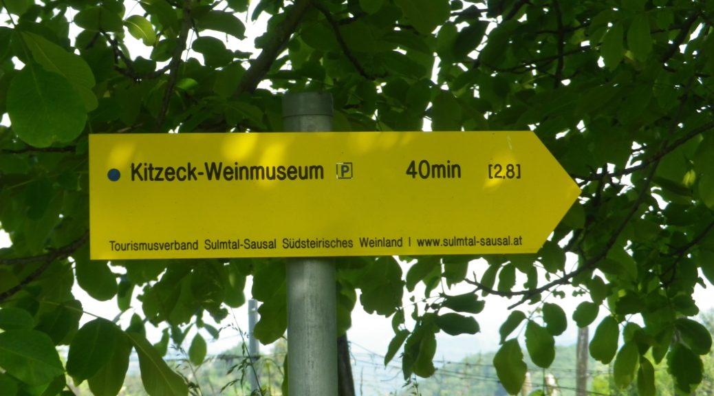
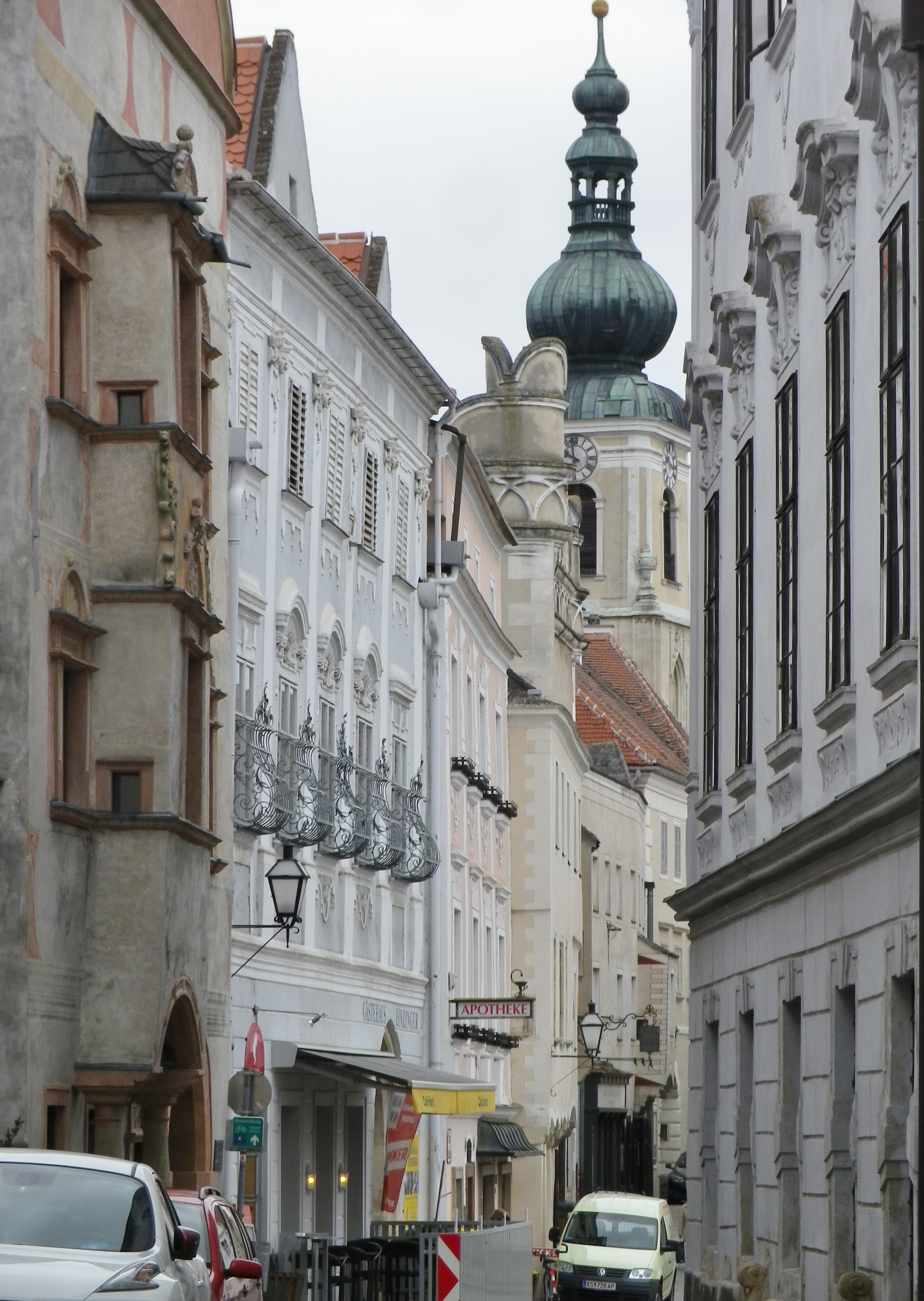
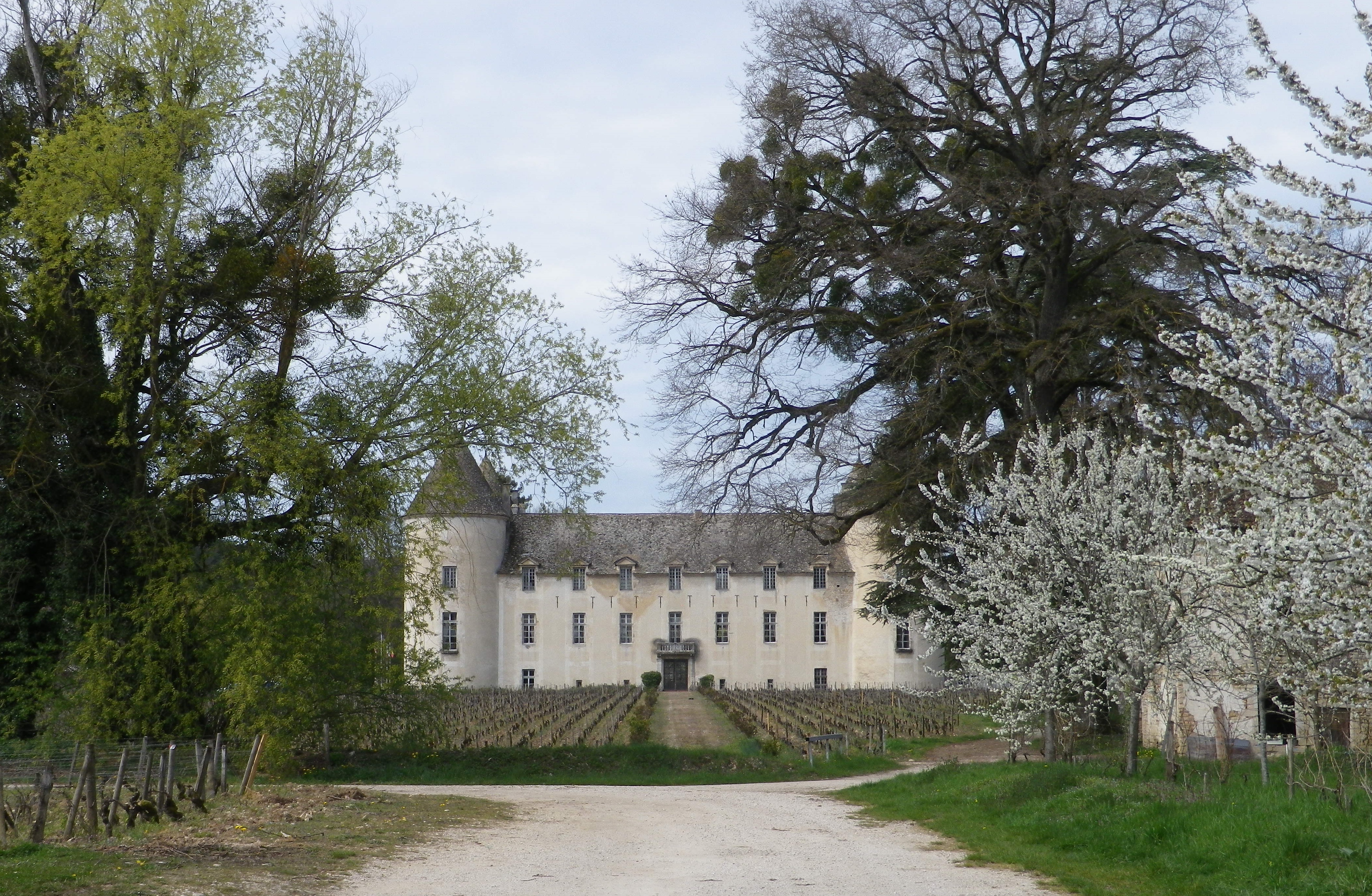
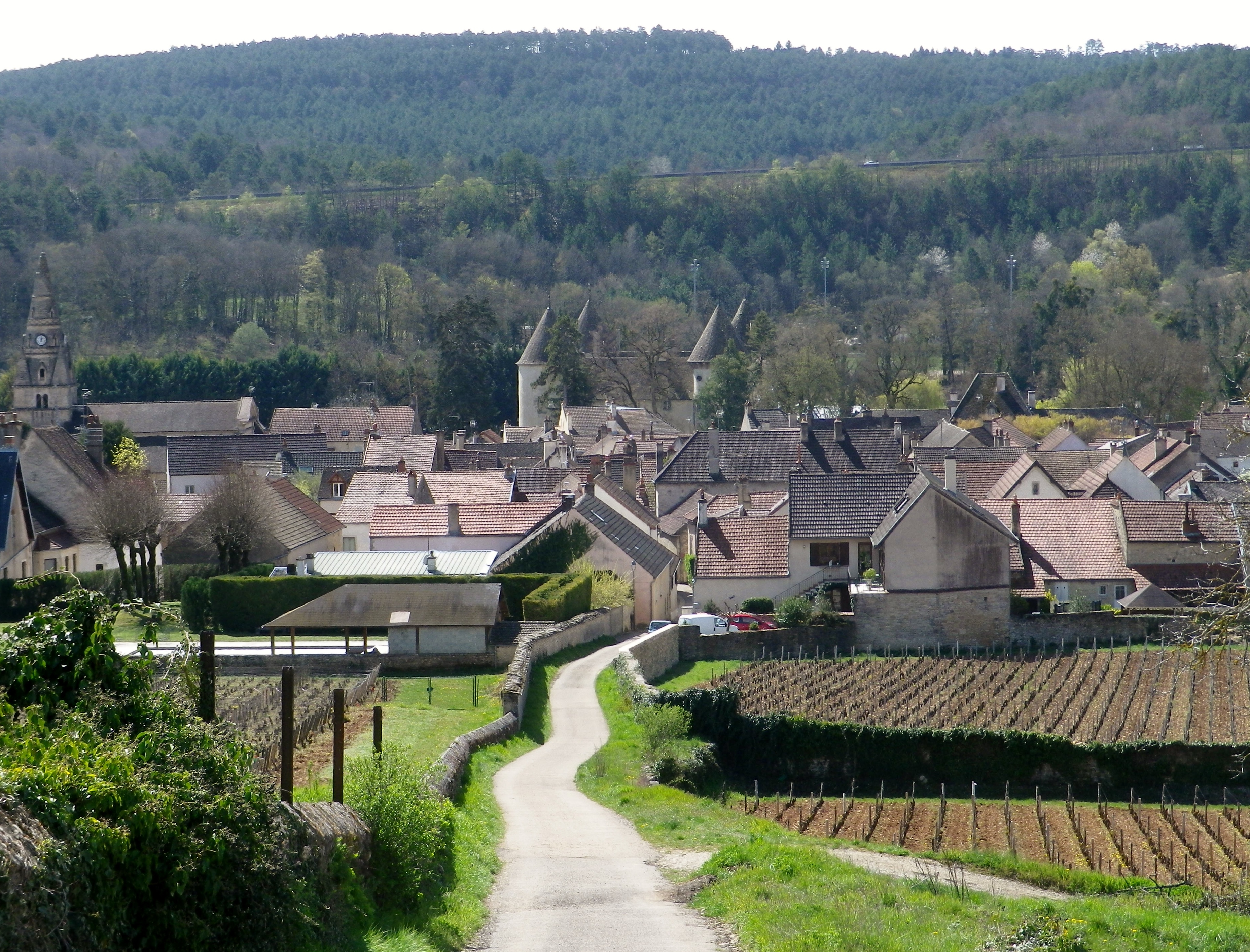
But even my couple of alternative routes (one along a road) were conducted in peaceful solitude. In reality, you get here a lot of quiet here. No rushing vehicles, no bustling village center. There is the wine museum right at the start of the trail that should not be missed, but otherwise, there is not much to indicate an actual urban hub. The village is more like a series of beautifully maintained farms loosely strung along a country lane. A couple of farms have converted to tourist accommodations, ranging from elegant to simple. Other farms do double duty as restaurants or wine taverns.

Kitzeck: Hills and Vineyards


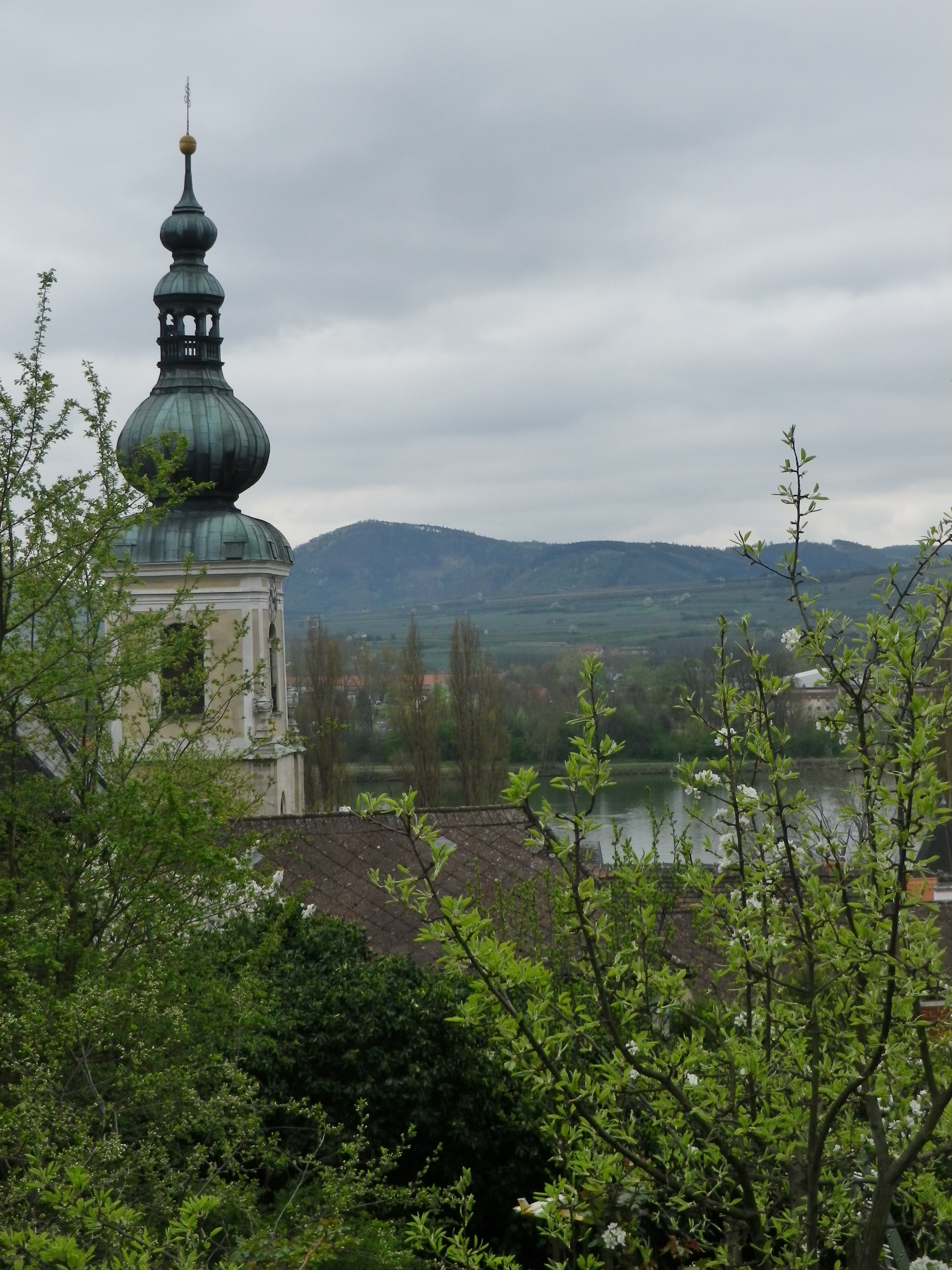
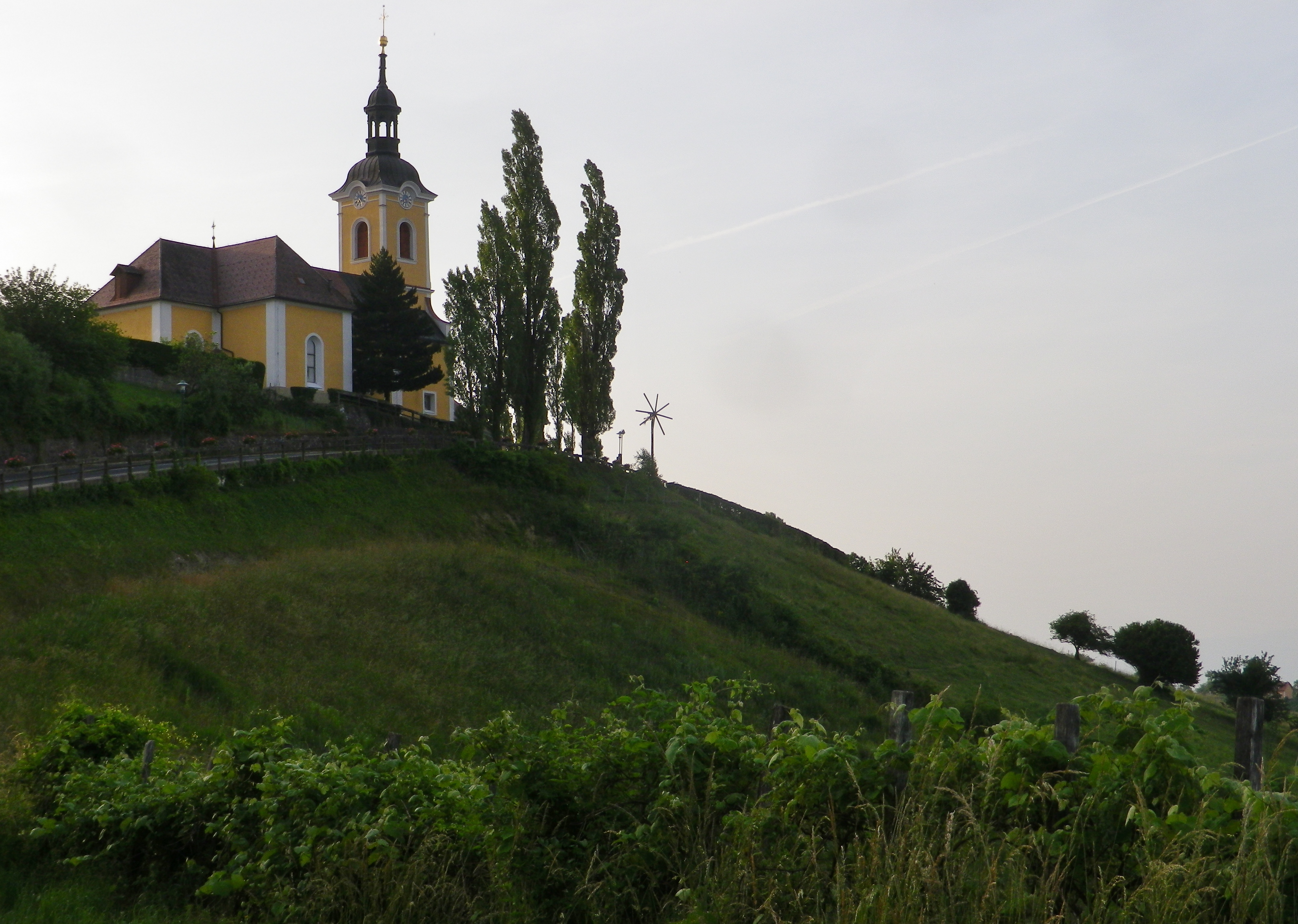
A church dramatically tops the highest point of Kitzeck. Its tower is like a beacon, and eyes from all around are drawn to it, starkly thrust up against an endless sky. Inside is simply decorated. But this small church with its stunning location, needs no further adornment.

Against the Setting Sun


But while the hikers tendency might be to look down, as from the church, the high vantage point around, or from an open hillside, to appreciate the steepness of the terrain hikers should pause to look up every now and then along this trail. The vines seem to be stacked on top of each other, and the trees rise like sentinels, one behind the other. The luxuriant and brilliant greens were everywhere and constantly evolving. The greens darkened and the blues intensified as the sun sank lower in the horizon.

View of Dusk From Kitzeck


Leaving the final forested section, I entered a compound of half a dozen houses and farm buildings. Here I passed a wine tavern, sadly closed on a Tuesday at around 7:30 on a beautiful evening. My thirst unquenched, but visually rewarded with a dramatic view of the church tower, backlit by the last rays of the setting sun, I made my way to the top of the hill, passing the church, and enjoying the last views of the day from yet another wine-themed trail, this time in Kitzeck.

Quiet Hamlet on the Trail


Kitzecker Weinwanderweg: Trail in a Nutshell


Trail Name:  Kitzecker Weinwanderweg

Trail Type: Short-distance circuit trail; mostly well-maintained and with a variety of trail surfaces; marking on the trail mostly good.

Length:

Total – 9.3 kilometers/5.75 miles

Convenient to: Graz, or Leibnitz, Austria

Marking: Black number 8 on a rectangular red and white stripe background

Signage: Kitzecker Weinwanderweg


Trail Description: This trail passes through a great variety of landscapes, and its hikers will encounter diverse trail conditions along the way. Three significant inclines/declines, but once on top hikers will enjoy fantastic panoramas of the surrounding district and beyond.

Trailhead:

Kitzeck in Sausal, Steinriegel, by the wine museum and church

Parking:

Kitzeck in Sausal, Steinriegel, by the wine museum and the church

Public Transportation Options:

Rail: Closest rail connection is in Leibnitz, coming from Graz. The Austrian train system is the Oesterreichische Bundesbahnen (OeBB), and the https://www.oebb.at/en/fahrplan link will provide timetable information for both the OeBB trains and Post bus system. (See below).

Bus: The OeBB Post bus system currently (June 2020) services Kitzeck from Leibnitz about 3 times a day on weekdays. Less often on weekends or holidays.

Suggested Stages: Not applicable

Trail Itinerary-Reference Points: (Clockwise)

Kitzeck: Sauegg Weg, path (found across from Kitzeckmueller tavern/restaurant driveway) through field then woods downhill to Sauegg, path along stream; Greith: cross L636, Schnabelveigl Weg; Annaberg: Landgutstr, path through forested area, Poetscherlweg; Perlleiten: along hamlet lane, vineyards, meadow, then pass Weingut Albert; Kleingauitsch: Uphill along L678, turn right onto path through fields and vineyards, woods; Kitzeck: Joshweg-Sacherneggweg I, L636 (AKA: Steinriegel and Sausaler Weinstrasse)

Representative Trail Photos:

Trail Section: Recently Mowed Grass Path


Through the Woods: Sample Trail Section


Representative Trail Section Along a Road


Restrooms:

Kitzeck: Steinriegel, behind the wine museum

Attractions on or near Trail:

Wein Museum: Highest wine museum in Europe

Tasting along the Trail:

Several wineries along or very close by, the trail

Alternative Options:

Biking: The Weinstrasse Tour offers four different variations (72, 49, 31 or 25 kilometer-circuits) on mostly little used roads through this wine district.

Mountain biking: The Klapotetz (elaborate scarecrow-like devices vintners use in the vineyards) MTB Runde is a 31-kilometer-long circuit passing through Kitzeck, and passing as far south as Heimschuh.

Car: Both the Suedsteirische Weinstrasse and the Sausaler Weinstrasse are relatively short, scenic car routes which take visitors to different wine villages, wineries and past local vineyards in this area.

Additional Information:

Regional: https://www.kitzecksausal.at/tourismus/tourismusverband/

https://www.sulmtal-sausal.at/de

Trail specific: https://www.outdooractive.com/de/route/wanderung/suedwest-steiermark/kitzecker-weinwanderweg-/1512229/

Comments:

Trail sections through meadows can be rather overgrown in June.

Wein Wandern Stein: Trail in a Nutshell


Trail Name: Wein Wandern Stein (Unofficial name)

Trail Type: Short distance hiking circuit; almost exclusively paved, well maintained, but the route itself is not exclusively marked.

Length: Approximately 6 kilometers/3.7 miles

Convenient to: Krems an der Donau, Austria

Marking: No trail-specific marking, although throughout this itinerary there are markings for other trails (to include the Welterbesteig signs, as shown below), and signposts (see the photo below) indicating named places and the “Welterbesteig Wachau” trail.

Trail Description:

An easy circuit through the village of Stein (part of Krems), and through the vineyards above the village, returning along the Danube. It focuses both on the village’s long-established viticultural traditions, and the vineyards that made it all possible.

Trailhead:

Stein an der Donau: Steinerkellergasse x Doktor-Karl-Dorrek-Strasse

Parking:

Krems/Stein:

Along Steiner Donaulaende, there are many parking spots, but on weekdays and summers, all likely will be taken; On Steiner Donaulaende, by Gottweigerhofgasse, a small parking lot.

Parking Garages on Yachthafenstr and Steiner Landstr x Anibas Promenade

Stein/Foerthof: Along Route 3/Donau Bundestrasse, there are two or three small, unimproved parking areas along the Danube.

Public Transportation Options:

Bus: Post bus serves Stein an der Donau. Check www.postbus.at

Rail:

OBB services Krems, connecting with nearby towns, and Vienna

Wachaubahn provides seasonal service upriver from Krems to Grimsing, to include Stein, Loiben (Unter and Ober-), Duernstein, Weissenkirchen in der Donau, Spitz an der Donau and Willendorf

Suggested Stages: Not applicable

Trail Itinerary-Reference Points: (Counterclockwise)

Stein: Doktor-Karl-Dorrek-Str x Steinerkellergasse, Steinspreng (at signs for Tullner and Mariazellerweg Trails), Guetersweg Schreckberg, circle counterclockwise on the Schreckberg lanes, return to Steinspreng; Right on Steiner Kellergasse, over train tracks by tunnel; Reisperbachtalstr, stairs (with W), on an path to an unnamed, paved agricultural lane, first passing the ruins of Altenburg castle, then the Altenburg Weinbergkreuz (a crucifix of vine stocks), Pfaffenbergweg-Foerthofstr-Steiner Donaulaende-Steinerlandstr-Reisperbachtalstr-Hintere Fahrstr-Frauenberg, stairs (at the St Nikolaus church) down to Steiner Landstr

Representative Trail Photos:

Trail Surface in Vineyards


Restrooms:

None observed

Attractions on or near Trail:

Lining the Steiner Kellergasse are many nicely maintained wine cellars, some of which are still in use as such!

Tasting along the Trail:

There are several “Heuriger” (seasonal wine taverns), along the trail, and numerous taverns, bars and restaurants in town.

Alternative Options:

Walking: The Welterbesteig Wachau trail begins in Krems proper, and continues upriver to Melk (the famous abbey) on the high route along the Danube and sometimes inland through the vineyards and villages along the way. From Melk, it continues downriver back to Krems for a total of 180 kilometers. See the Nutshell here.

Additional Information:

Regional: https://www.krems.info/de/home/

Trail specific: None

Comments:

I adapted this circuit from one suggested by a local hiker, hence no definitive markings, or references to it online or in town literature. Therefore, there is no trail specific signage, although this itinerary does follow a section of the Welterbesteig Wachau trail leading from Resiperbachtal Strasse to Pfaffenbergweg, and then the two itineraries diverge at Foerthof

To extend the hike slightly, follow the Welterbesteig Wachau upriver along the Pfaffenbergweg, to the border between the Kremstal and Wachau appellations. To close the circuit, head downhill to the hamlet of Rothenhof and follow along footpath along the river paralleling the main road (B3) back to Foerthofstrasse. Continue the itinerary above from Fuerthof.