Trail Name: Bulles et Bugatti; AKA BL 312
Trail Type: A mid-distance circuit bicycle itinerary; well-maintained surfaces, much of it paved, however no trail specific marking throughout the itinerary.
Length:
Total – 33 kilometers/ 20.5 miles
Convenient to: Molsheim, Strasbourg, Bas Rhin, Alsace, France
Marking: None specific to the itinerary. Some sections do have the typical green and white cyclist markings for a bicycle path to serve as a guide.
Trail Description: A well thought out itinerary through mostly rural landscapes with a variety of flat and hilly sections, vineyard, field and urban terrain, some on minimally trafficked road sectors, and some on fairly long stretches of vehicle-free bicycle path or dedicated bicycle lane.
Trailhead: Molsheim, Rue de Strasbourg, Porte des Forgerons
Parking:
Molsheim: R de la Commanderie x R Ernest Friedrich (closest to trailhead); Rue des Sports, by the open-air pool
Dorlisheim: Chemin des Moissons, Rue Mercure, north and south, in a mall area
Mutzig: Place de la Gare, Rue du Dr Schweitzer,
Balbronn: R du Fronhof (at the upper/higher end)
Public Transportation Options:
Rail: Frequent regional trains (TER) connect Strasbourg and Molsheim
Bus: Numbers 234 and 236 connect Molsheim with surrounding villages
See the comment below
Suggested Stages: Not applicable
Trail Itinerary-Reference Points: (Counterclockwise)
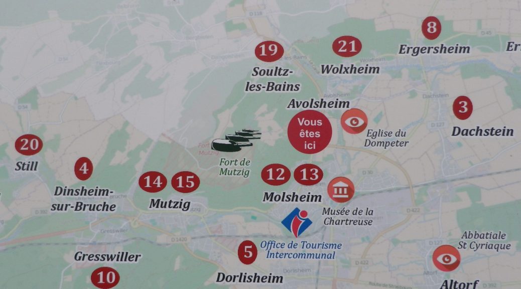
Molsheim: R. de Strasbourg x Avenue de la Gare, R. Charles Mistler, past Camping Municipal, over Bruche, along D93/D30; Dachstein: D30; Egerstein: Along Canal de la Bruche to Wolxheim; Wolxheim : R de Molsheim; Avolsheim: cycle path to Grotte d’Avolsheim, R. du Dompeter, R. de la Gare, Impasse de la Roseliere, cycle path; Soultz les Bains: R. de Molsheim/D422, D275: Dangolsheim: D275/Rte du Vin (past the Lavoir, or laundry basin); Bergbieten: D275/Rue des Vosges; Balbronn: D275/R. du Château, R. de la Foret, Rte de Flexbourg; Flexbourg: Rte de Flexbourg-R. des Acacias, R. de la Paix, R. des Seigneurs/D118; Still: D118/Rte de Flexbourg, Grande Rue; Dinsheim: D118, D392/ R. du General De Gaulle, past the Chapel of St Wendelin; Mutzig: Blvd Clemenceau; cross the Bruche, still on D392, past the Gare de Mutzig, Rte de Strasbourg; Faubourg des Vosges; Dorlisheim: Grand Rue, Avenue de la Gare/D392; Molsheim: D392; Altdorf: Chemin de la Blieth, R. des Romains, R. des Pres, R. Principale; Molsheim: R. Jean Mermoz, cycle path paralleling Rte Ecospace, D2422/R. de la Commanderie, past the Gare de Molsheim
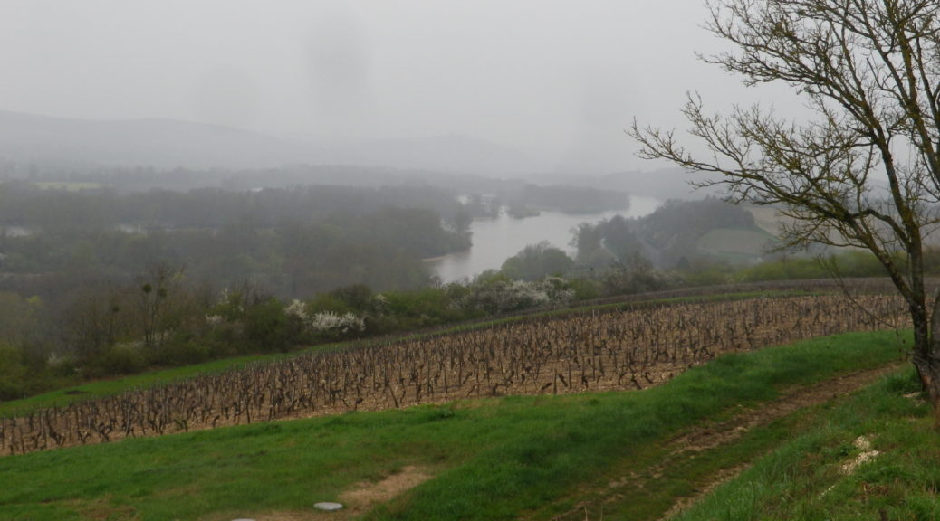
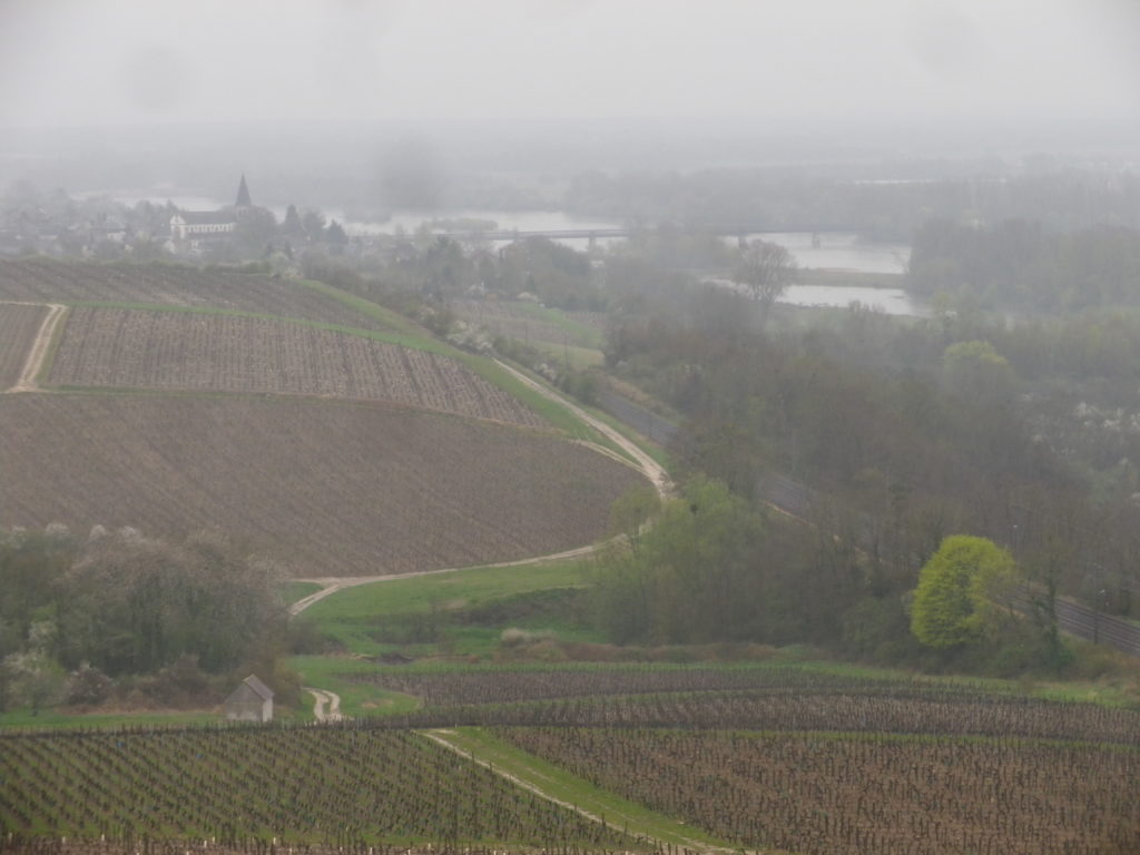
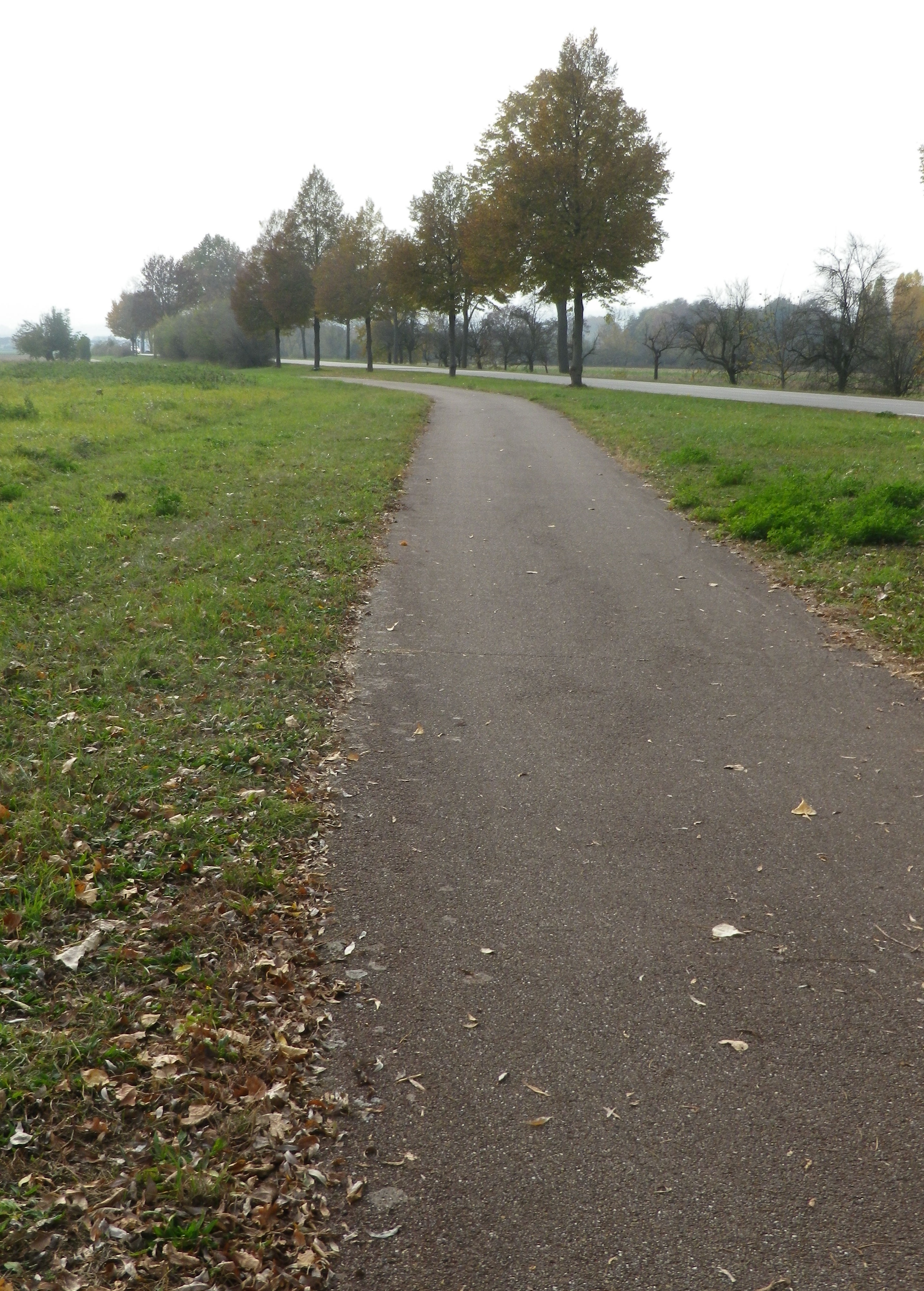
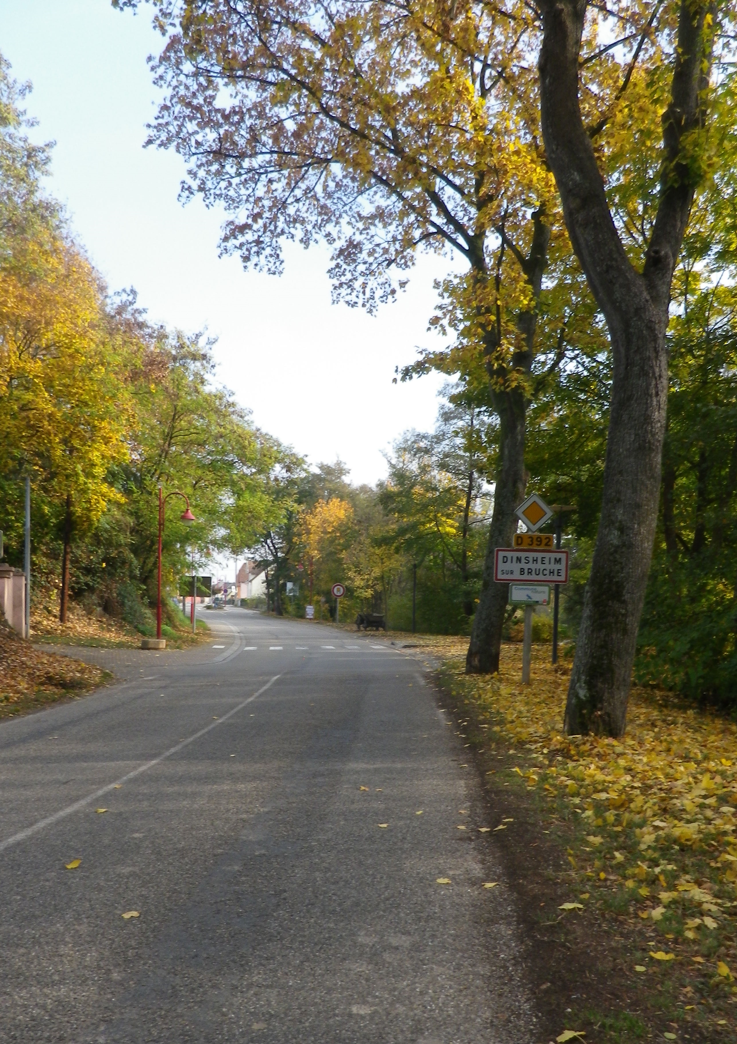
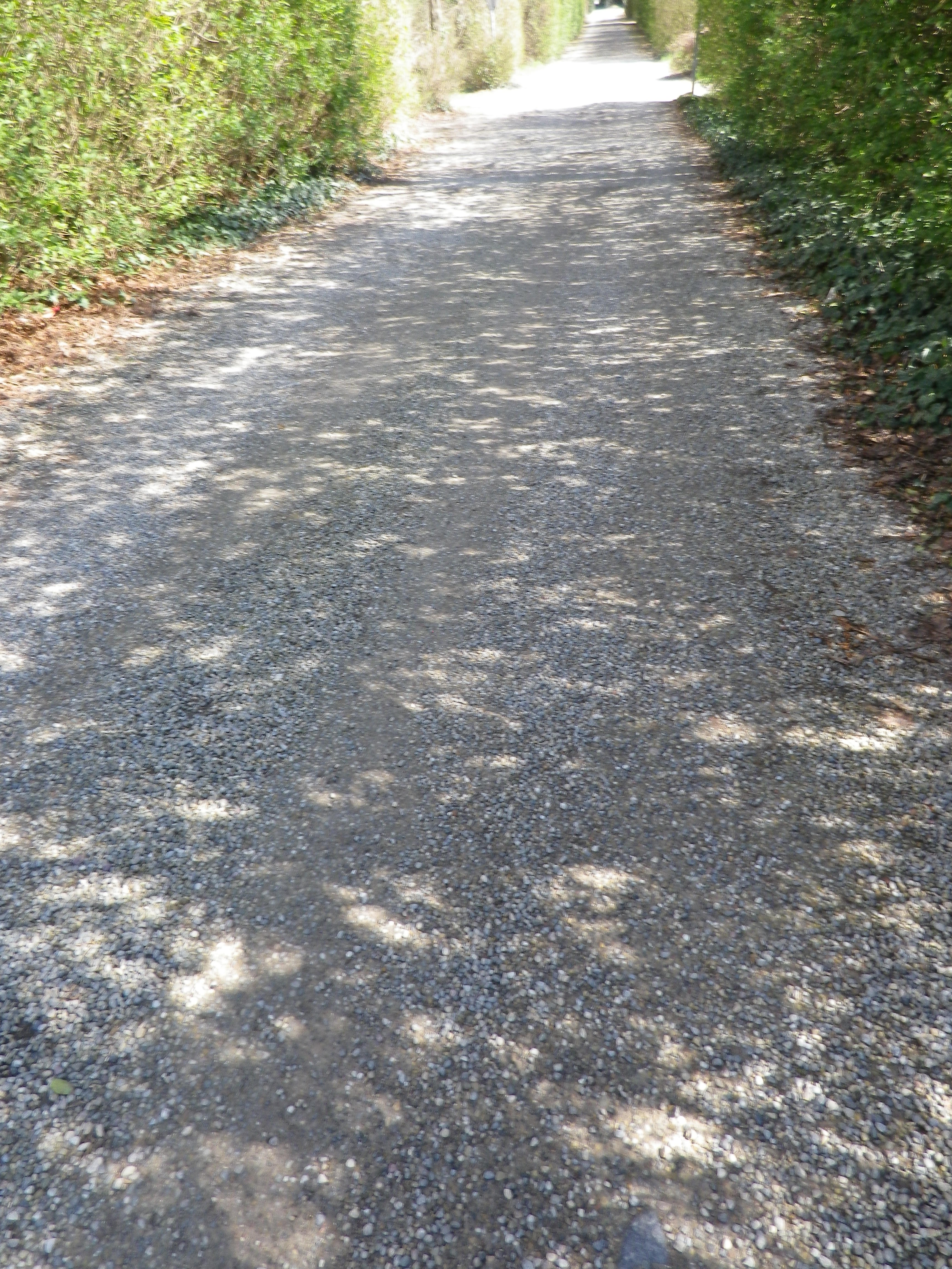
Representative Trail Photos:
Restrooms:
Molsheim: Passage de la Post x Avenue de la Gare, about 50 meters west of the chapel in the parking lot by the old town gate “Tour des Forgerons”
Attractions on or near Trail:
Molsheim: Musee de la Chartreuse, focuses on millennia of history and traditions of the Bruche Valley, while another section covers the history of Bugatti (the other half of the name of this route), its cars and its connection to Molsheim.
Tasting along the Trail:
Wolxheim, Avolsheim, Soulz-les-Bains, Balbronn and Bergbieten are well-known wine villages with several wineries in each. Additionally, Molsheim is the largest town in the area, with several taverns and restaurants serving local wines.
Alternative Options:
Hiking: The circuit hike called Trotele, one of the Circuits of Bacchus, is a 13.6 kilometers hike through several of the same villages. See the Nutshell here.
Biking: The long distance Veloroute du Vignoble d’Alsace begins about 15 miles north in Marlenheim, and passes through Soulz-les-Bains, Molsheim and Dorlisheim, then proceeds south through other villages and towns in the Bas Rhin department. See the Nutshell here.
Additional Information:
Regional: http://www.ot-molsheim-mutzig.com/
Trail specific: https://www.alsaceavelo.fr/itineraires/boucles-locales/bl312-bulles-et-bugatti-118.html
Comments:
Although the bus and train network is good here, the 20.75 kilometer cycling path Veloroute du Canal de la Bruche (https://www.alsaceavelo.fr/itineraires/veloroutes-des-canaux-et-vignoble/veloroute-du-canal-de-la-bruche-23.html) is a fantastic and easy way for visitors in nearby downtown Strasbourg to reach this particular itinerary and this little visited vineyard area.