A mere 17 miles from the Austrian border at the Brenner Pass, the first vineyards appear in northern Italy, along with some linguistic confusion. Following along the Eisack River, the Isarco in Italian, the vineyards begin just as the dramatic narrow pass begins to widen at Novacella, Neustift in German, by Brixen, Bressanone in Italian. Thus, it continues all the way south, throughout Suedtirol/Alto Adige, the South Tirol as English speakers call it.
This area is well-known throughout the German speaking world as a hiking and biking paradise set in the magnificent Dolomites. Here, the German passion for precision and perfection meets the Italian passion for food and wine, and the results are amazing.
Hiking in the northern half of the South Tirol provided more options and was less challenging than biking in it. While the mountains are steep, the paths are relatively well maintained and well-laid out. Although the physical effort was not as easy as hiking in the Rheinhesse wine region in Germany, or the Carnuntum wine region in Austria, any reasonably fit person could complete them.
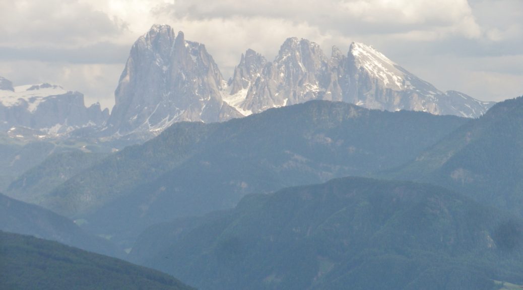
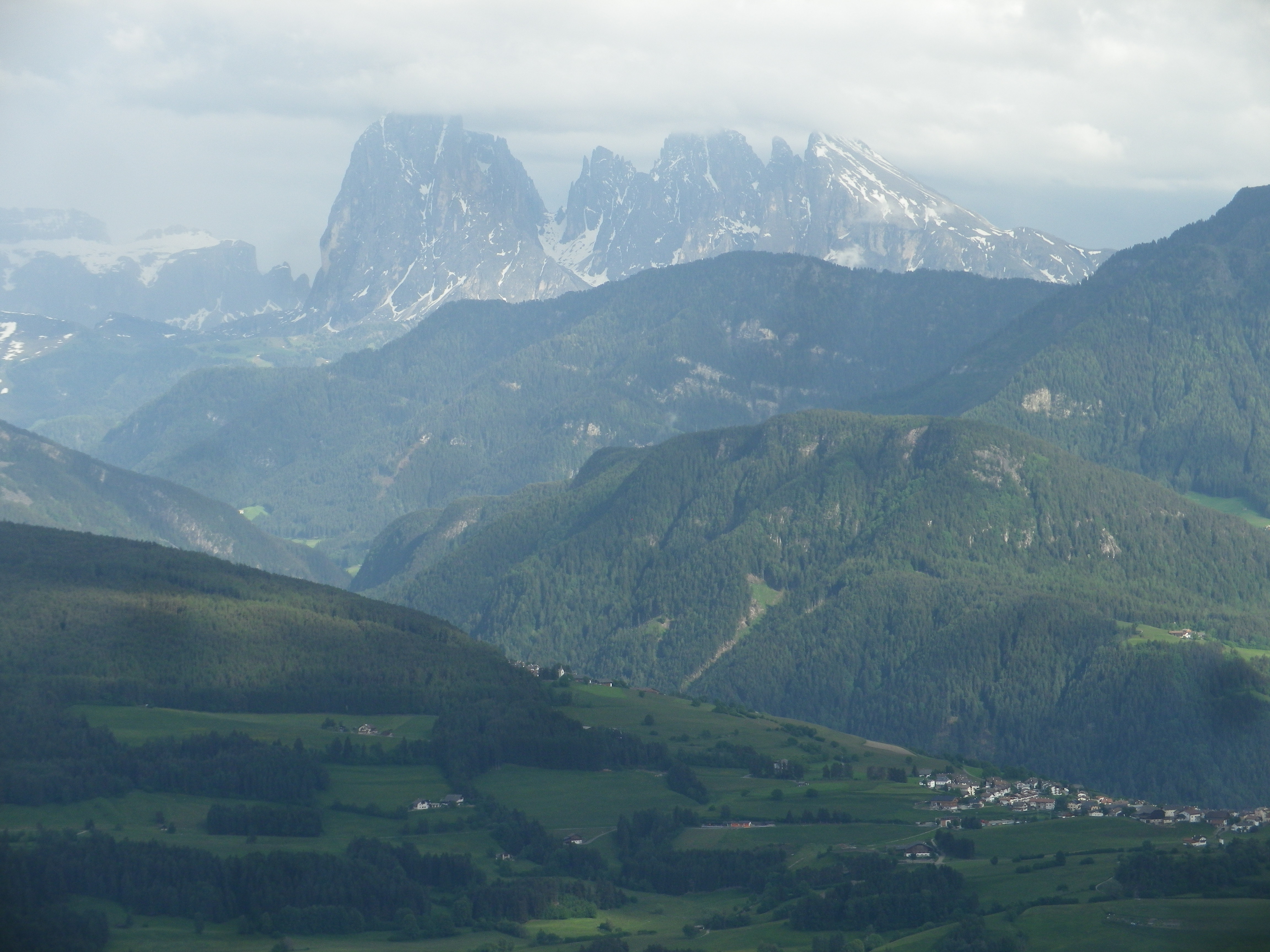
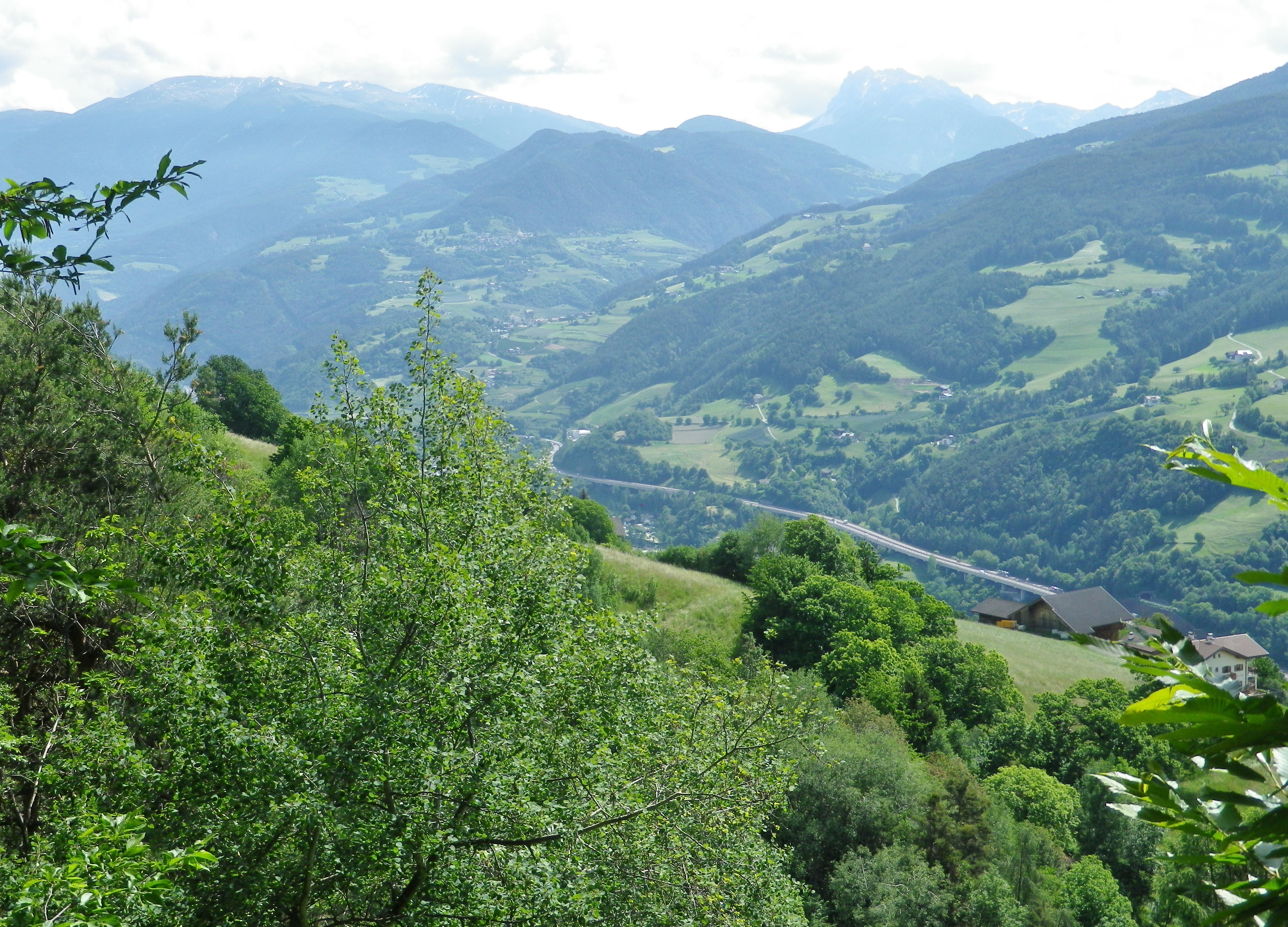
Amongst a plethora of trails, one wine-themed trail was located high up the western edge of the Dolomites. It was also opposite the Nature Park of Puez-Odle, and its famous peaks, the Odle Group, among them. I figured that from a higher elevation, the views from the trail of the mountain peaks would be spectacular. I was not wrong in that regard.
The trail was named the Toerggeleweg. A toerggele is a wine press, and in this district, wine taverns are often identified with this term. The trail passes through or by vineyards, and wine taverns, as it meanders up and down the mountainside above Klausen/Chiusa, the main town in this district. This district is traditionally agricultural, and several multi-purpose farms run by extended families still exist. The trail often passes right along them. Nowadays, in addition to farming, and running the seasonal wine tavern (toerggele), many families rent places to sleep.
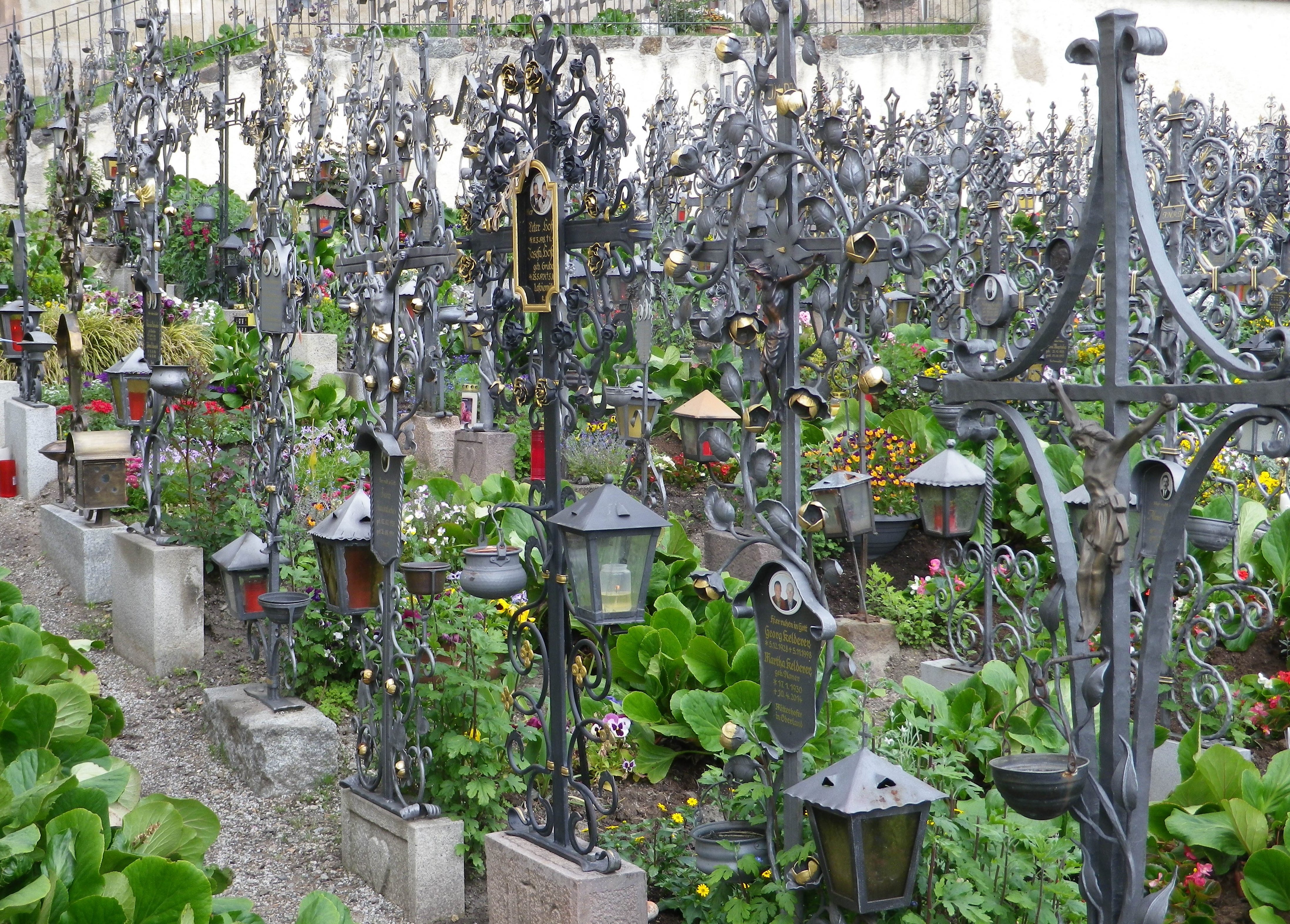
The trail began in the village of Villanders, a popular summer destination. In addition to the old houses lining the narrow streets, the village has an attractive old church, Santo Stefano, on the outskirts of the village. It is worth a visit, especially since the walled cemetery next to it is considered one of the most beautiful in the region. On just about every grave amazing ironwork commemorates the deceased. Much of the ironwork is extremely detailed, imaginative and expertly wrought.
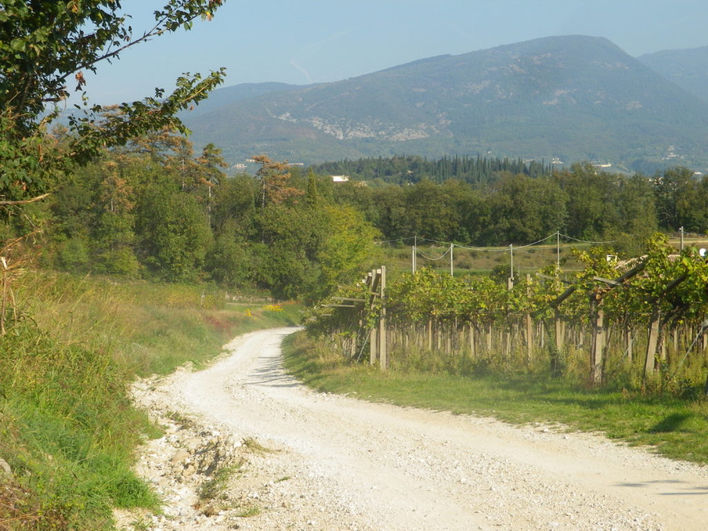
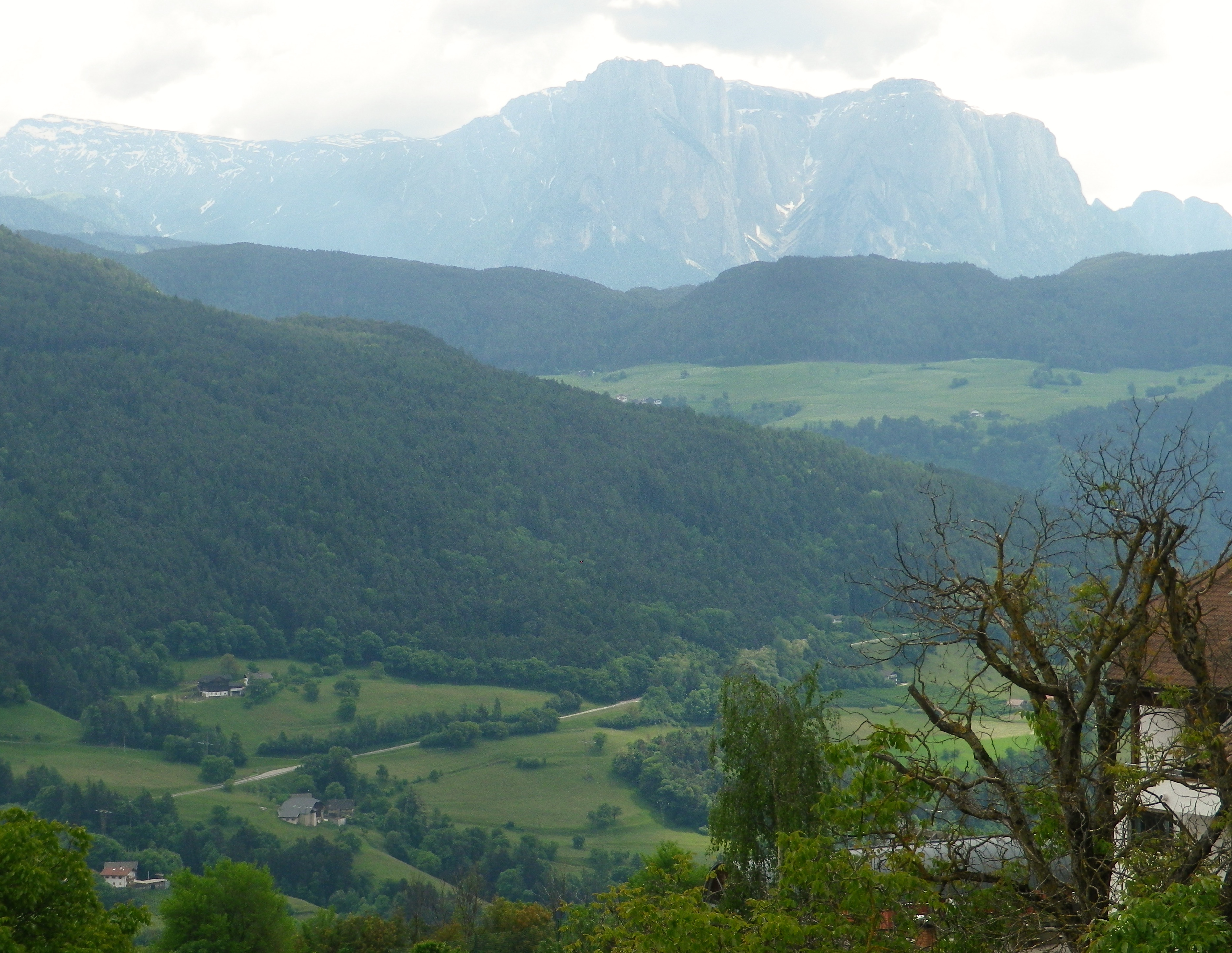
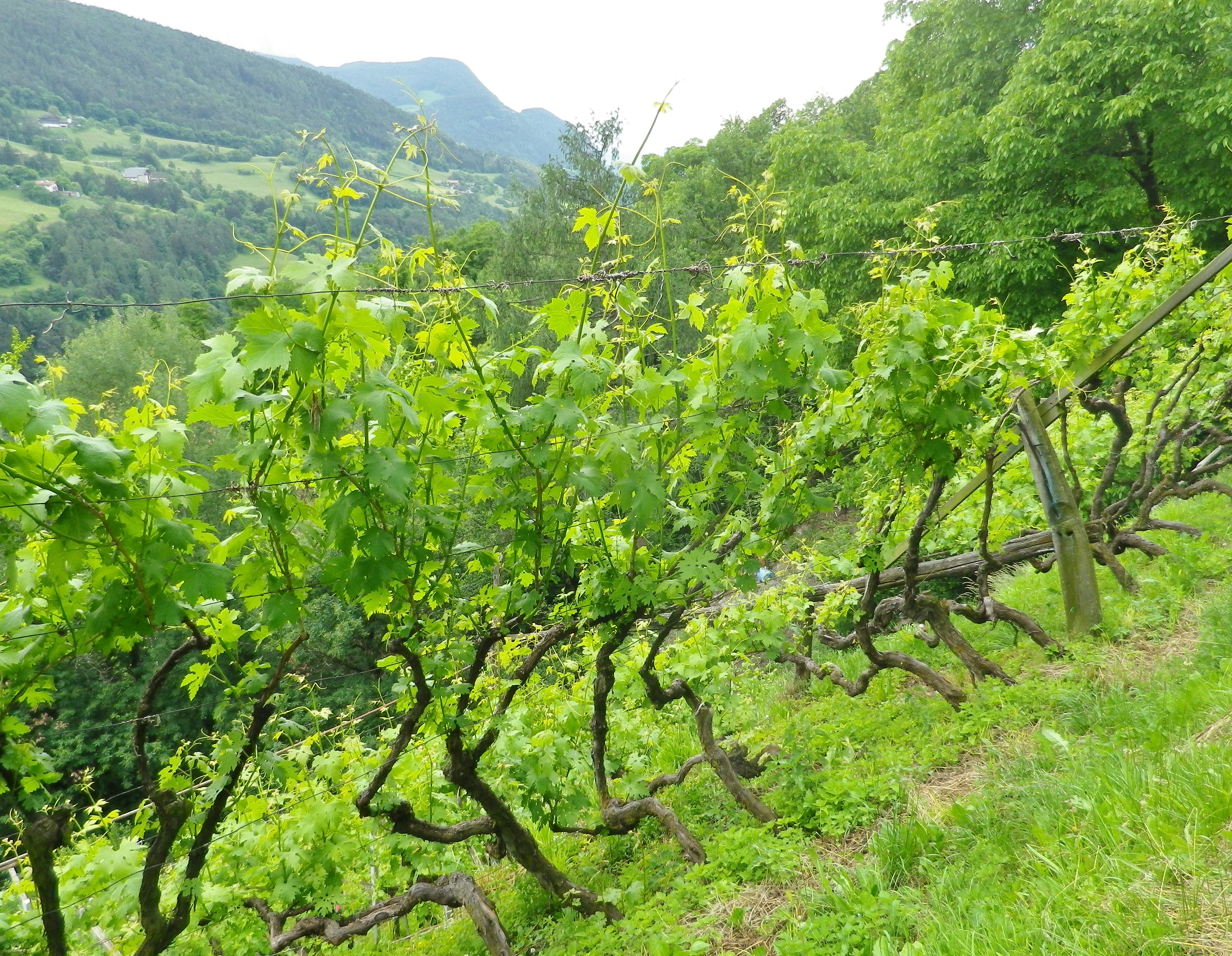
The trail proceeded through woodlands containing chestnut trees. This part of the Toerggeleweg follows along a popular long-distance trail called the Keschtnweg/Sentiero delle Castagne, or the Chestnut Trail. Before long though, I was in vineyards, the object of my hike. Most of the vines are trained high. In this southern Alpine wine region, the growth can be luxuriant quite early in the season. So many shades of green greeted the eye, everywhere I looked.
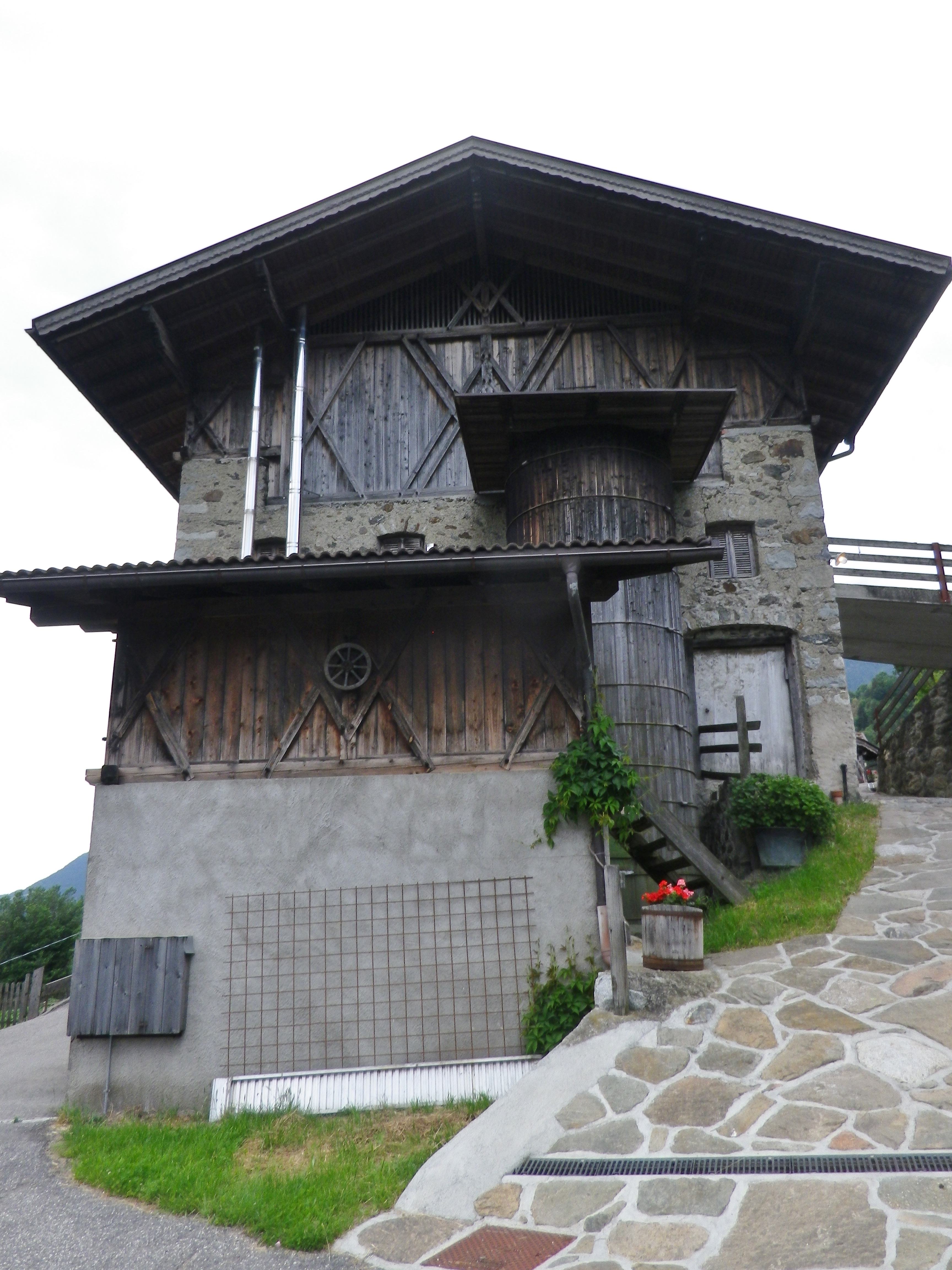
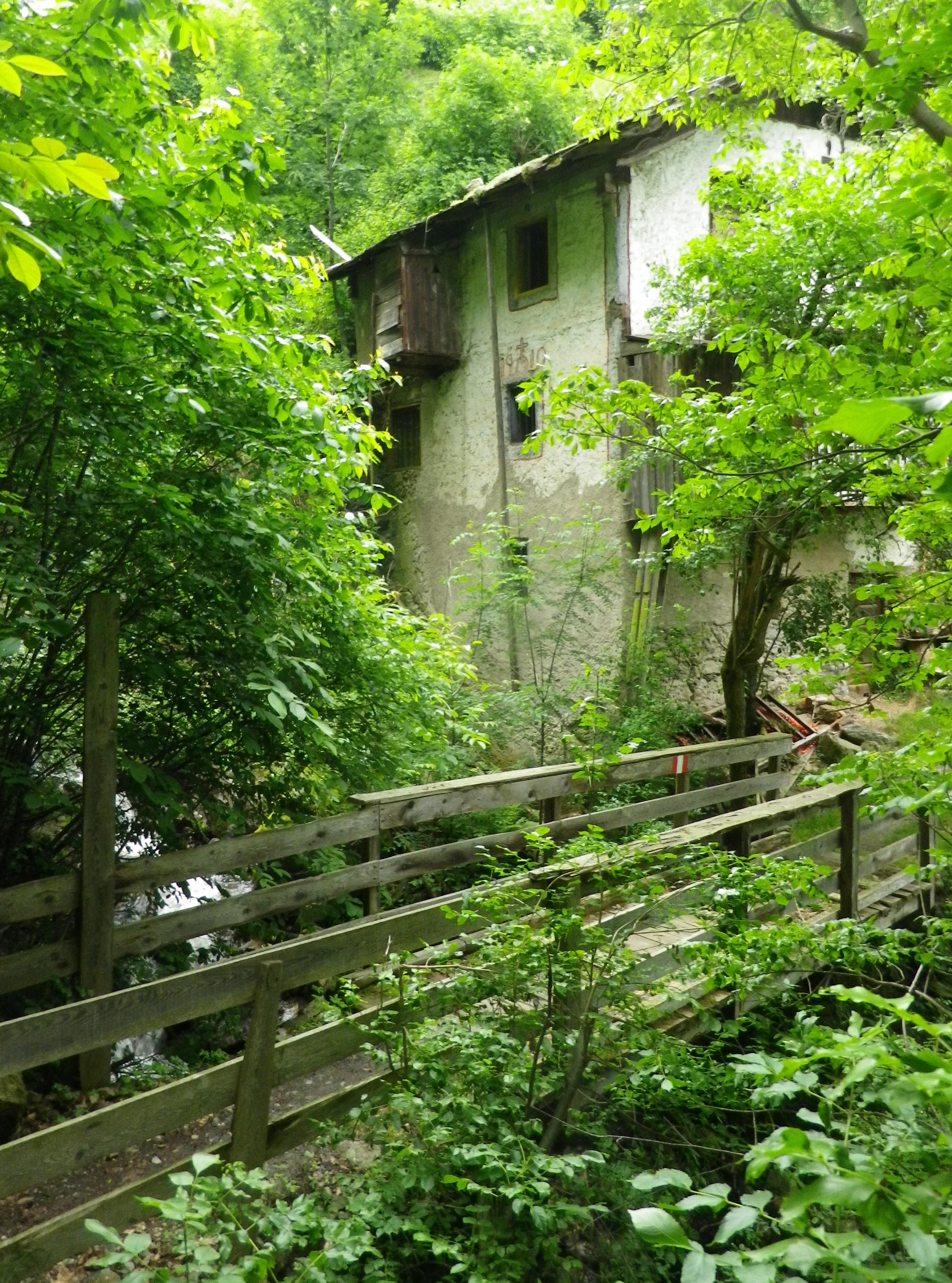
Every now and then, the trail lead through a farming compound or settlement. As I passed these buildings, I realized what spectacular settings most of them offered. Set on a steep-sided mountain looking across the deep valley, surrounded in part by vineyards, they were forested on untillable sites watered by rushing streams. These farms were well maintained, and looked inhabited. But they were eerily silent. Many rural settlements in Italy are slowly being emptied of local inhabitants, populated only as rentals during the summer season, as the young move to large towns for work, and the old move to towns for companionship. One older man, finishing his farm work for the day, drove by in a creaky Fiat Cinquecento and asked if I wanted a lift. Given that I had quite an incline ahead of me, I was tempted. I should have taken his offer, as I am sure he would have had interesting stories to tell about life on the mountain in days gone by.
The trail eventually reached the hamlet of Sauders. More houses, and more people (three) than I had seen for over an hour. At Sauders, the trail reached its southern-most point. The slow incline up and back to Villanders began, leading out of the hamlet on a well-maintained trail, the Kirchsteig. It soon passed an old mill on a torrent, barely contained in its course as it bounded down the mountainside.
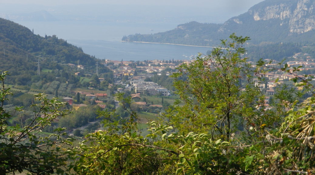
Just as the Kirchsteig joined the road to the center of Villanders, I had one more expansive view of the Eisack river and its valley, making its way through the Dolomites on its way to points south. A memorable end to a memorable trail, or possibly four or five due to the multiplicity of trails and trail names involved!