Trail Name: Silvaner Erlebnisweg
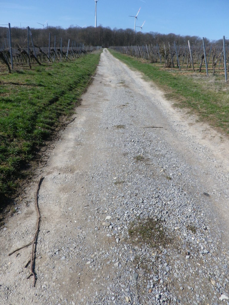
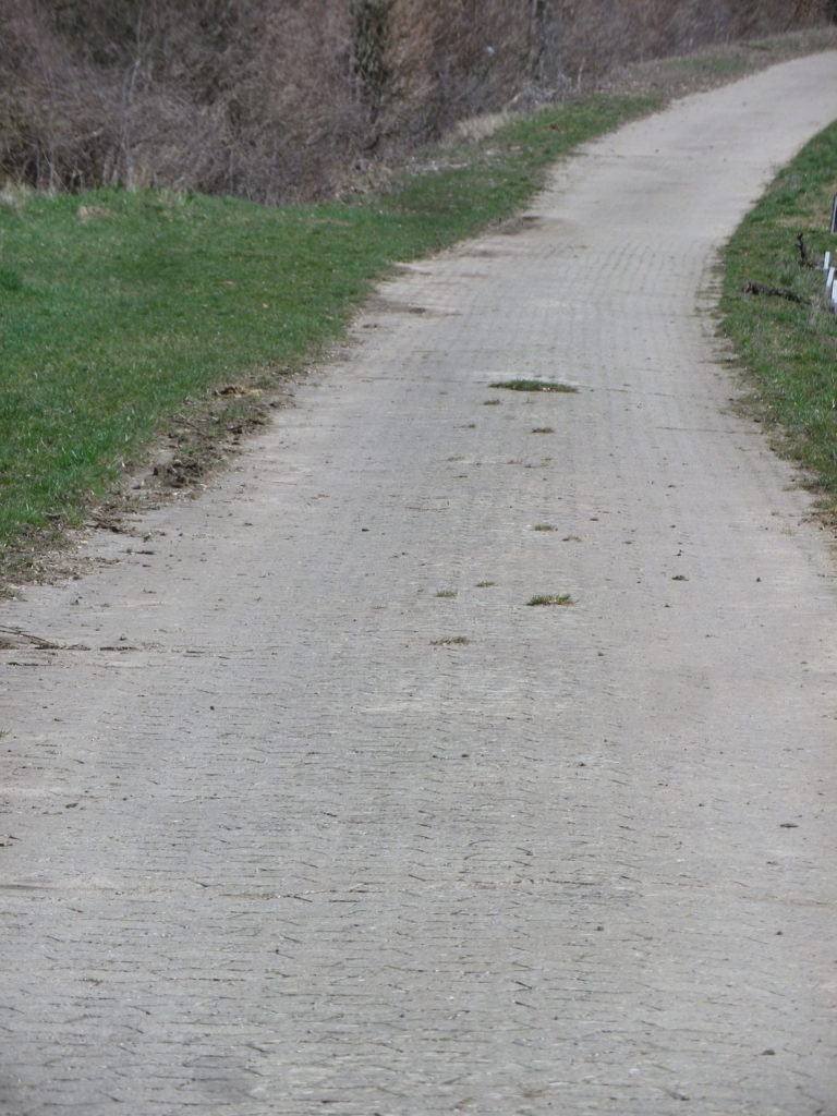
Trail Type: Short distance circuit trail; well-maintained and almost exclusively paved, marking on the trail good in most places
Length:
Total – 6.8 kilometers/4.25 miles
Convenient to: Volkach, or Kitzingen, Germany
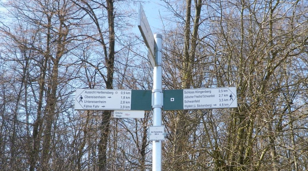
Marking:
Look for two types.
Green hills, blue river and white ferry on a which square background.
White letter C on a square, red(dish) background (indicating where the Silvaner Erlebnisweg diverges from the principle or other trails).
Trail Description:
The trail leads through mostly unshaded vineyards situated on gently rolling terrain in the Maindreieck, on primarily agricultural service lanes. This easy hike affords ample opportunities to admire distant vistas over the Main River valley, and plenty of benches (and the occasional picnic table) from which to enjoy them.
Trailhead:
Obereisenheim – An der Mainau/Dorfstrasse
Parking:
Obereisenheim – An der Mainau
Public Transportation Options:
Bus: The Frankenbus 8110 services this area from Kitzingen and Volkach. Check VVM (Verkehrsverbund Mainfranken) and VGN (Verkehrsverbund Grossraum Nuernberg) websites for schedules and routes.
Suggested Stages:
Trail Itinerary-Reference Points: (Counterclockwise)
Obereisenheim: Hintergasse, Marktplatz, Wipfelderstr, Setzweg, Buehlweg, cross Schwanfelder Strasse; Vineyards; back across Schwanfelder Strasse; long vineyard loop (almost to Dipbacherstr); Hertleinsbergweg, Bergstr
Representative Trail Photos:
Restrooms:
None observed
Attractions on or near Trail:
WG Hirn is a winery designed in the Hundertwasser architectural style, and has acclaimed red and GG Silvaner wines!
Tasting along the Trail:
Weingut (WG) Jung, WG Schuler, WG Kramer, WG Reich, WG Ruegamer, in addition to WG Hirn, lie either directly on or near the trail.
Alternative Options:
Hiking: In nearby Fahr, the Obst-Wein-Main trail/Trail D circuit offers a short (3.5 kilometer) and a long (9.8 kilometer) version.
Biking: Eisenheim is on one of Germany’s favorite bike trails, the Main Radweg. Its itinerary follows mostly along the Main River for about 340 kilometers to the Rhine River at Wiesbaden, much of it on dedicated bike path. See the Nutshell here.
Additional Information:
Regional: https://www.frankentourismus.de/orte/eisenheim-169/
Trail specific: http://www.wandermap.net/de/route/3493744-silvaner-erlebnisweg-markt-eisenheim/#/z11/49.8300104,10.1214981/terrain
Comments:
The ferries at Obereisenheim and nearby Fahr make a fun three-minute Main River crossing for hikers and bikers in the area.