Trail Name: Rhein Reben Route (Rhine Grapes Route)
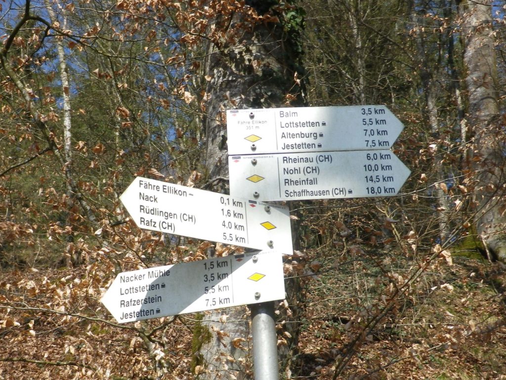
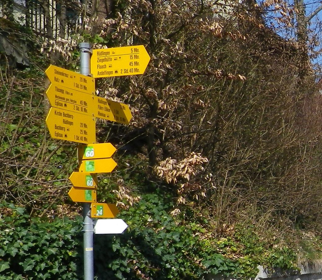
Trail Type: Mid-distance trail; well-maintained and almost exclusively hard surfaces, no trail-specific marking for this trail, although there are the standard directional and distance (or time) markers.
Length:
Total – 13.5 kilometers/8.4 miles
Convenient to: Schaffhausen, or Zurich, Switzerland
Marking: No trail-specific signage. Directional signs only follow (See comments below)
Trail Description:
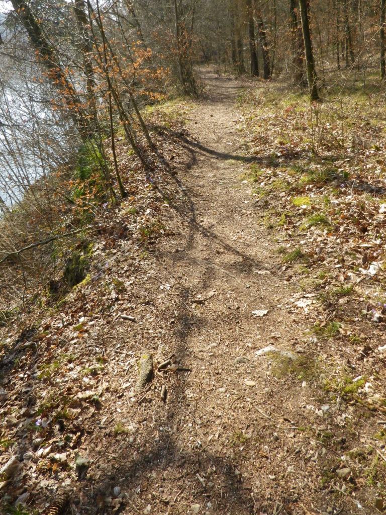
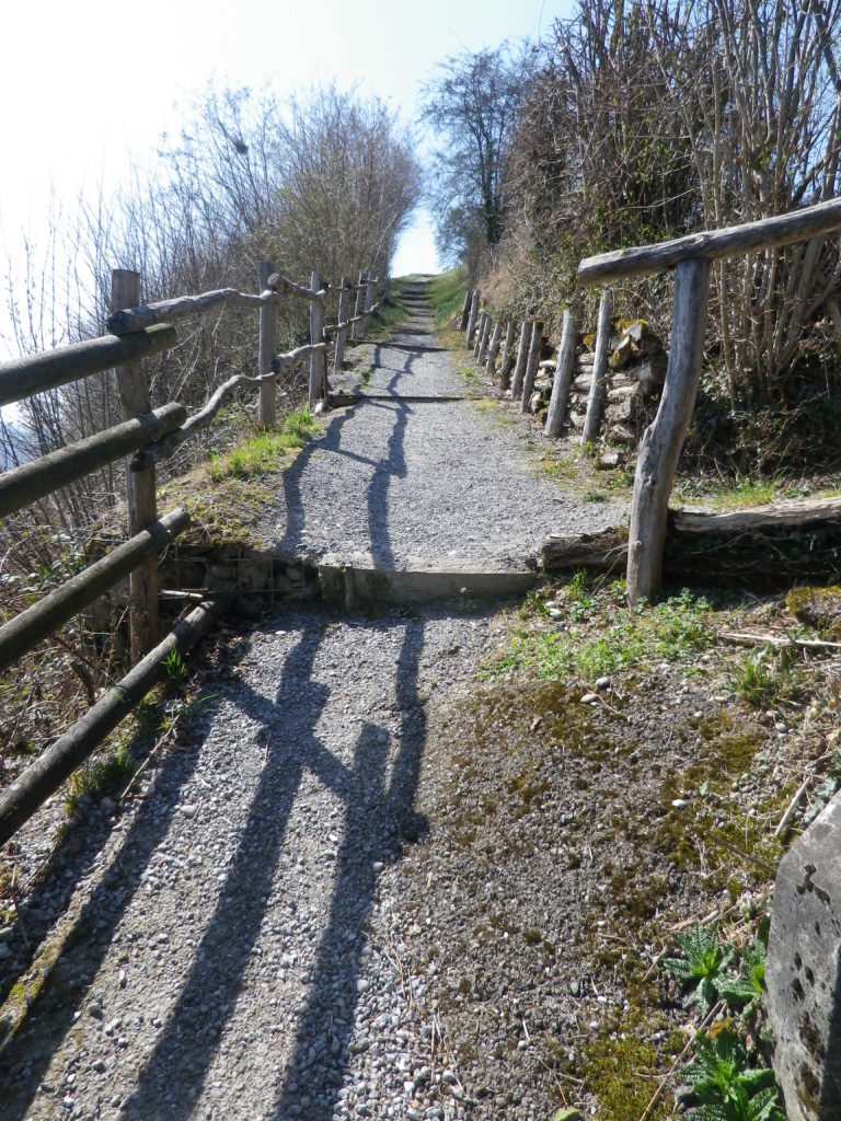
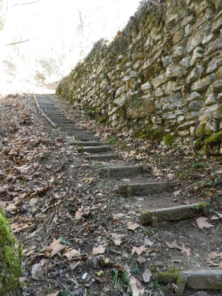
Following mostly along the Rhine River’s edge in a little-known corner of Germany and Switzerland, this very easy trail, with only two short but somewhat steep inclines, offers variety in the landscape, tranquil scenery, and often shady paths.
Trailheads:
Jestetten, Germany: Saarstr (x Bahnhof) (start)
Buchberg, Switzerland: Dorfstr (end)
Parking:
Jestetten, Germany: Bahnhofstr (by station)
Buchberg, Switzerland: by the church
Public Transportation Options:
Rail: S9, Schaffhausen-Jestetten-Uster, stops in Rafz, (about 4 kilometers distant, but the closest to Buchberg)
Bus: Zurcher Verkehrsverbund, (ZVV), runs a frequent and direct bus service to Rafz on ZVV Bus 675
Suggested Stages: Not applicable
Trail Itinerary-Reference Points: (North-South/Upriver-Downriver)
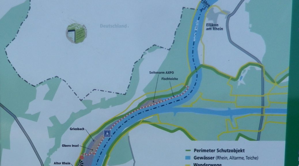
Jestetten, Germany: Saarstr, Altenburger Str, Im See; Cross the Volkenbach; through woods and fields; Lottstetten: Cross Weiherweg, Balmerstr, along river (and mostly through wooded terrain) for a while; Ruedlingen: past parking lot on river; cross Rafzerstr, past water treatment plant, Chratzeren, Hinterdorfstr, Sustenstr, Schuelwegli; vineyards, Buchberg, Switzerland: vineyards, Church, Dorfstr
Representative Trail Photos:
Restrooms:
Jestetten, Germany: Bahnhofstr x Saarstr, by the station
Ruedlingen, Switzerland: Chratzeren, at the water treatment facility
Attractions on or near Trail:
Tasting along the Trail: Café Rebe, Buchberg, Dorfstr 22; Besen-Beiz, Buchberg, Lindenhof (after 4 Apr 19)
Alternative Options:
Bike: Rhein-Route 2, Stage 7 (Schaffhausen to Bad Zurzach), a 53-kilometers (33 miles) bicycle itinerary covers this territory and more, following mostly along the Rhine River.
Additional Information:
Regional: https://schaffhauserland.ch/en/
Trail specific: https://www.outdooractive.com/de/wanderung/schwarzwald/rhein-reben-route-im-naturpark-schaffhausen/20734468/
Comments:
An option to cross the river by a small ferry is possible opposite Nack. (Look for the bell to ring to summon the ferry from the far side of the river.) There are not one, but two, water-side eateries there to slack the thirst and sate the hunger of hikers, bikers and boaters!
In Switzerland, instead of distance, the required time is usually indicated. (And in my experience, represents a healthy pace.)