From water’s edge to wine-hills, (literally, Weinberge in German); From an easy start to a more challenging effort; From one side of the Main River, to the other, then back and forth again. This trail provided variety and a sense of anticipation with each kilometer through this little-known corner of Franconia.
Churfranken is in the northwest corner of the Mainviereck wine district of Franconia, and the long-distance Fraenkischer Rotwein Wanderweg (Franconian Red Wine Trail) is designed to showcase as much of this corner as possible. As it meanders along, wine loving hikers will discover the towns and landscape of the red wine for which the trail is named and the area is famed.
The trail did indeed follow along the water’s edge from Grosswallstadt to Niedernberg. The river and marshy areas were green and inviting, resounding with squeals of bathing children and the chirps, tweets or quacks of waterfowl enjoying the cooling waters on a hot day. Passing the ponds, the trail lead across flat fields to the small town of Grossostheim.
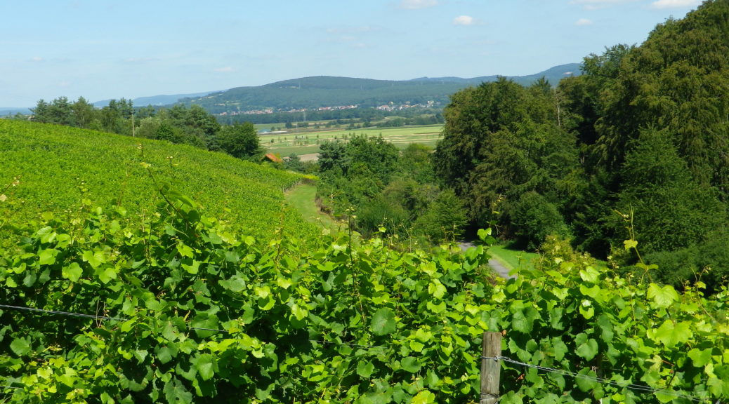
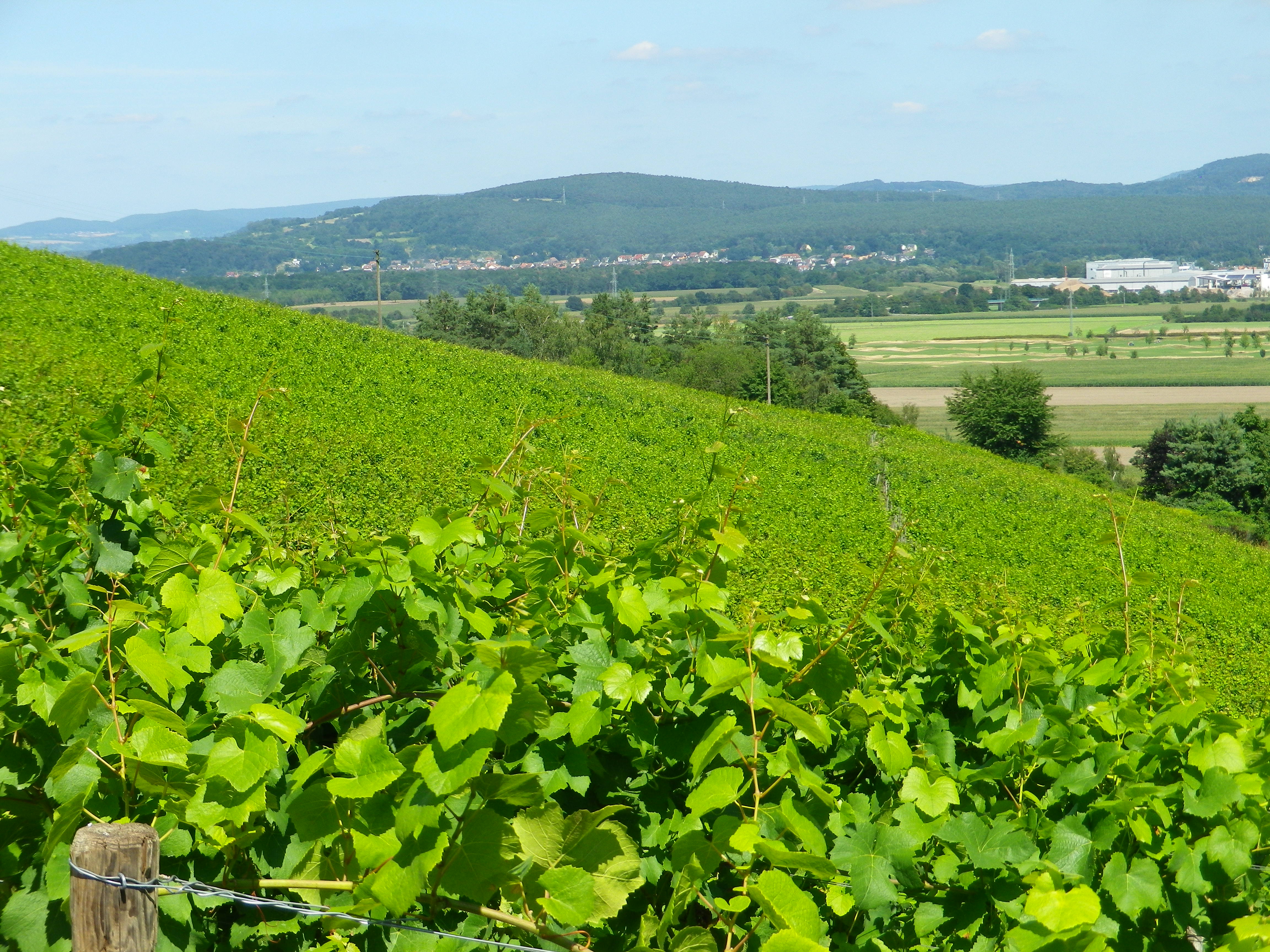
The trail begins an ascent into the hills south of the town’s pleasant historic center. A unique feature of this segment of the trail has to do with the vineyards’ sites. Tucked away in narrow side valleys off the Main River valley, surrounded by forests, they are hidden from view until a hill is crested, or a corner rounded. The trail leads through a series of these enchanting sites. Lutzeltal is perhaps the most-beloved. Several vintner huts lining its slope convert to outdoor wine bars during wine festivals.

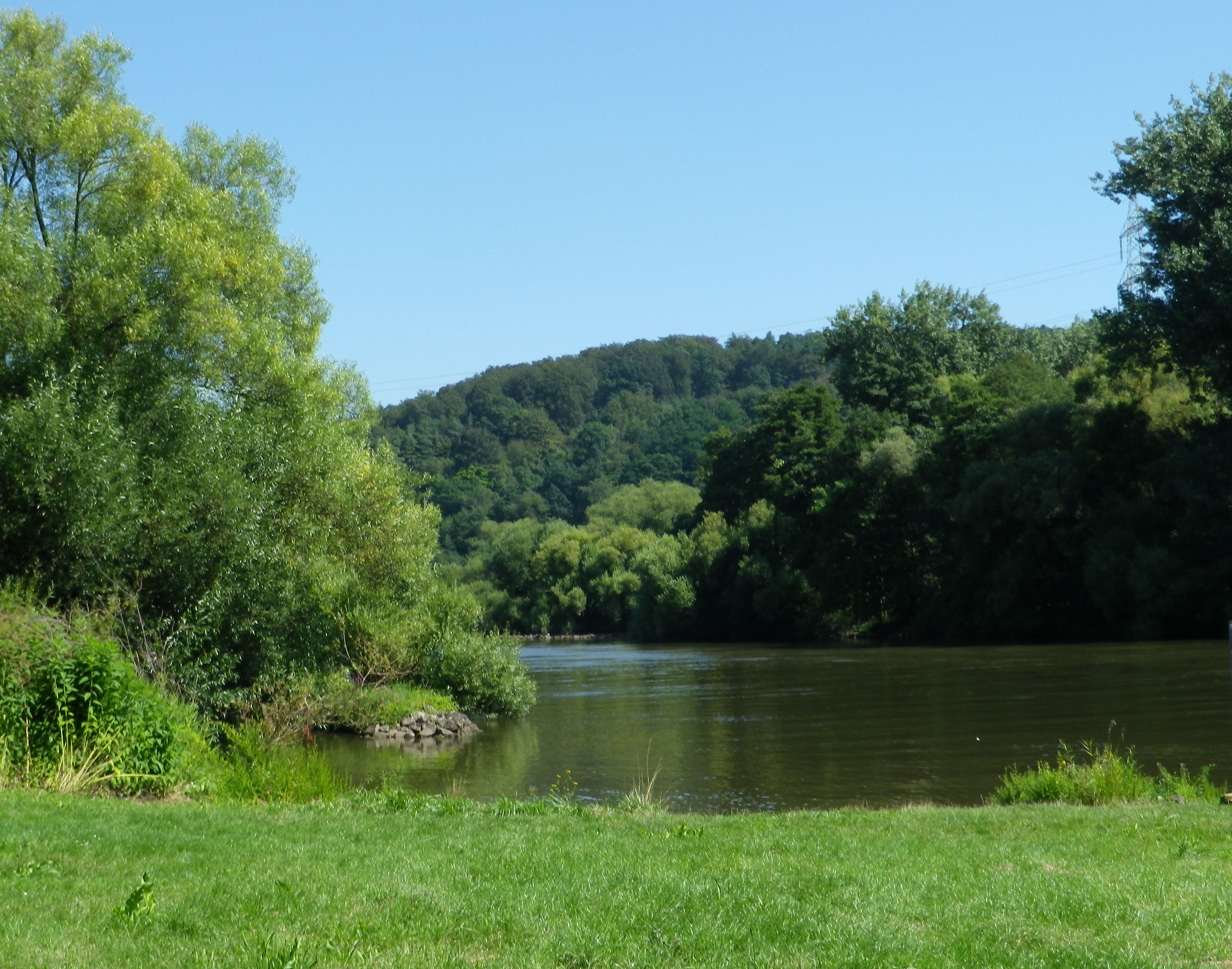
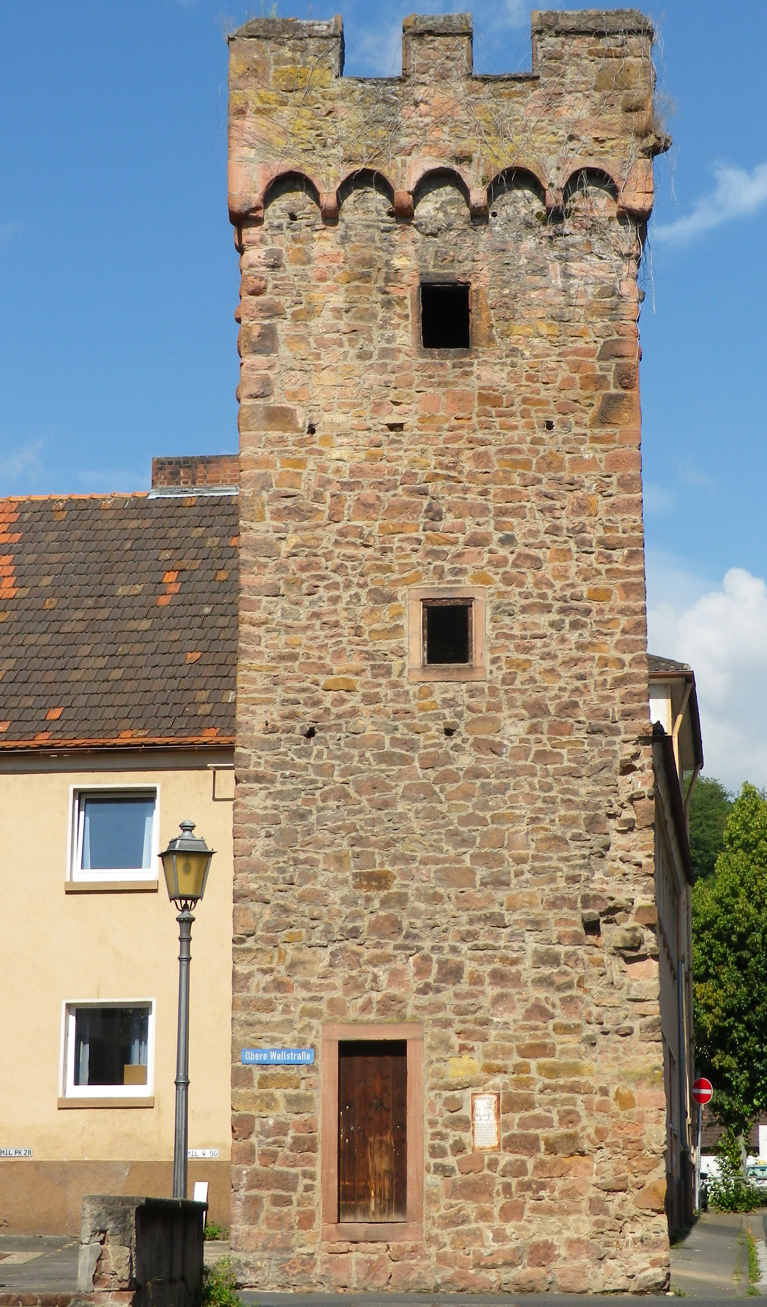
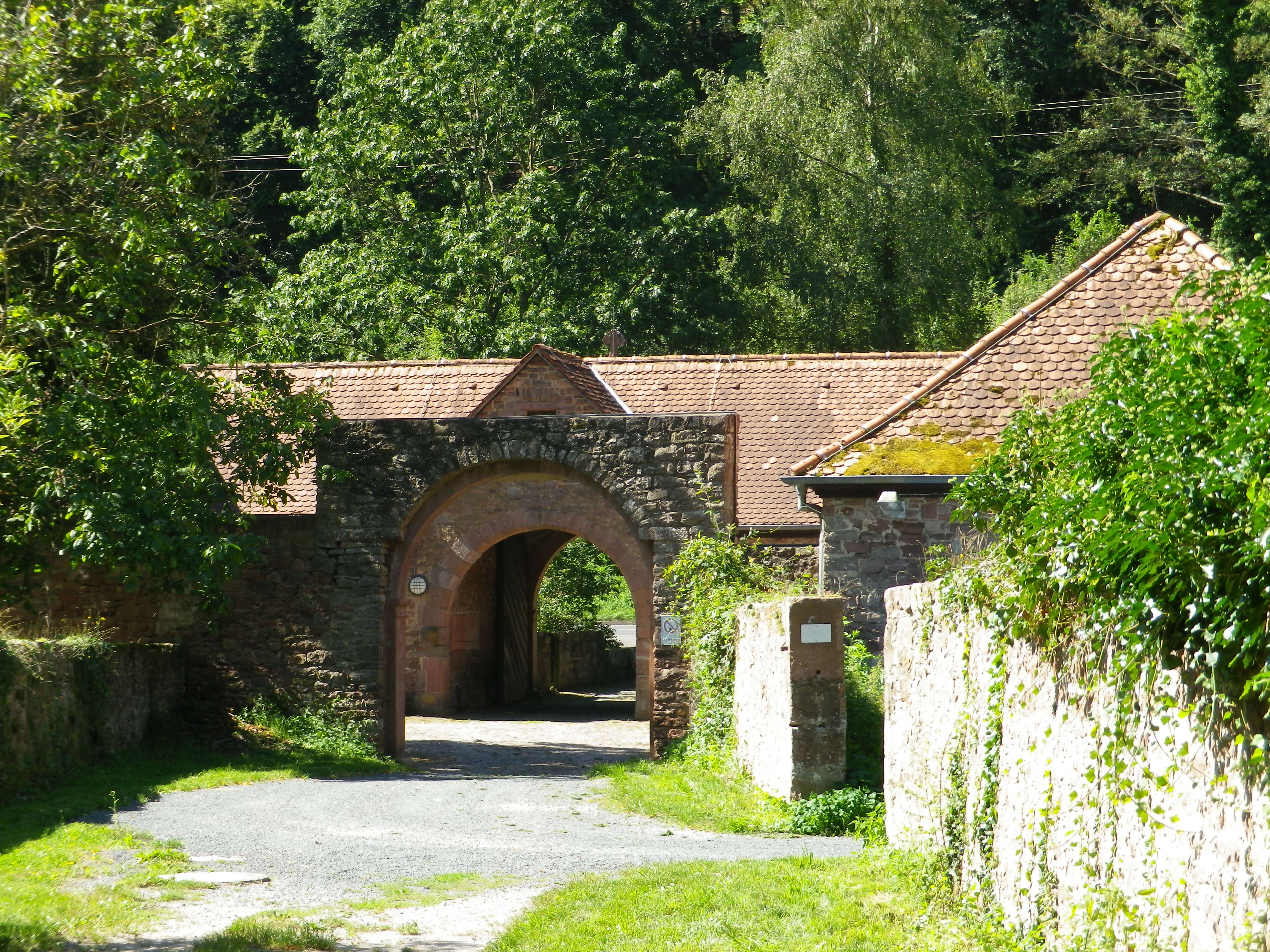
A long stretch of wilderness ended at Obernburg. The old part of town once formed part of a Roman fort, which was then overlaid by a walled medieval village. It is a good place to stop and explore. Sections of old wall and medieval towers remain, and the Roman Museum with its interesting archeological finds does a great job informing about life during that era. Additionally, there are a couple of restaurants serving local wine and Franconian food, right along the trail. At Obernburg, a pedestrian bridge crosses the Main to Elsenfeld. It is a good place for photos as it offers a peaceful and unimpeded river view.
The trail soon leaves Elsenfeld and its fields of grain, and heads up the narrow Elsava River valley to Rueck. The steep slopes here have vines almost all the way to the Himmelthal Cloister. Originally founded in the 13th century to house Cistercian nuns, it was also endowed with vineyards. The religious orders have long since gone, but the buildings and vineyards remain, one of which is named the Jesuitenberg, commemorating the last religious order to own the site.
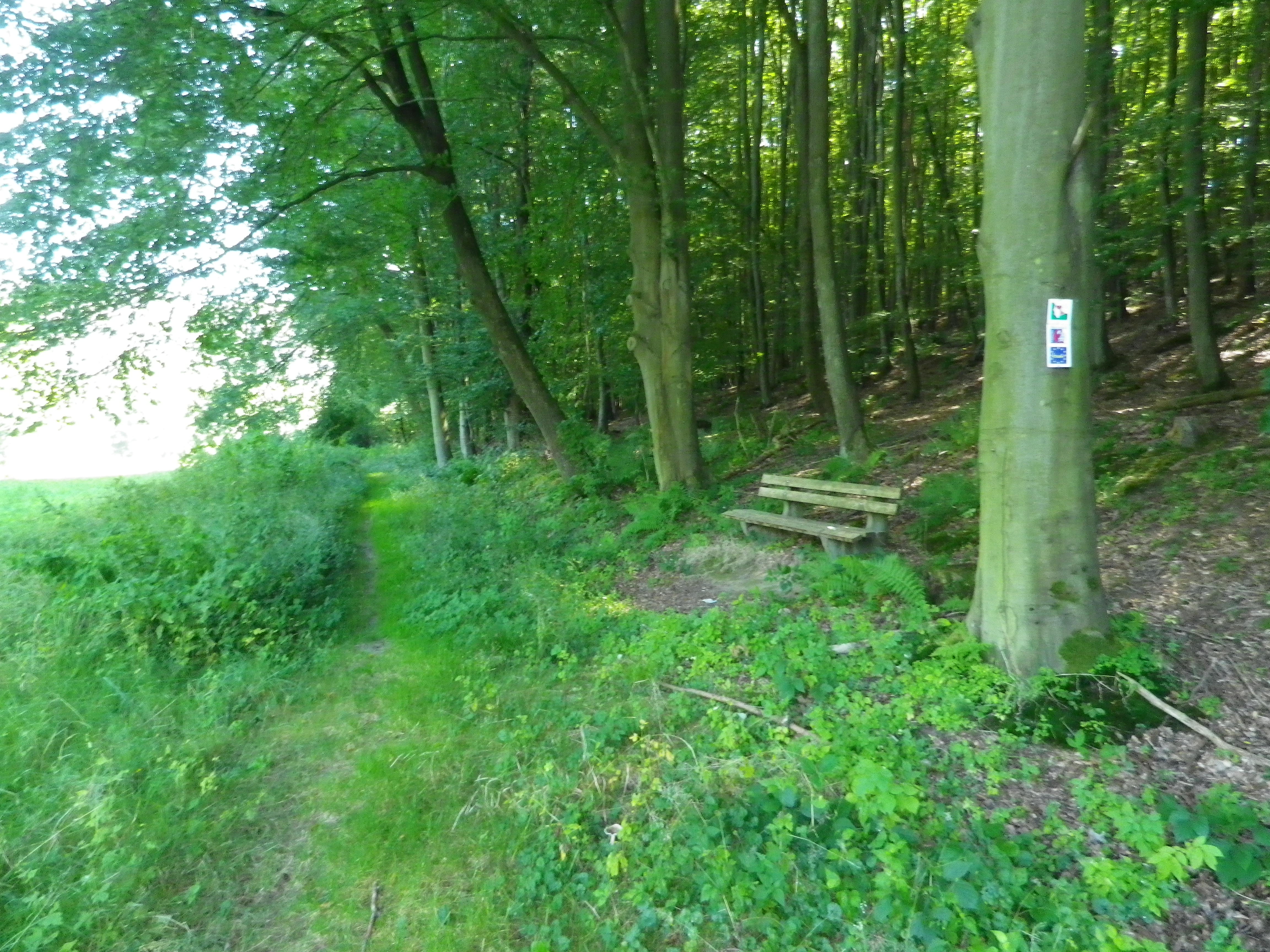
Crossing the little Elsava, the trail turns back down the valley to Schippach, where a serious uphill climb begins. Fortunately, though, it soon enters the forest, and the trail is shaded for quite some time. This section of the trail felt remote. It was a tranquil section, and the break from the sun was nice.
All too soon, this interlude came to an end, as the trail headed downhill toward the river through the town of Erlenbach am Main. This (along with Elsenfeld, a previous trailhead) is where the local trains pass closest to the trail. Therefore, it is a good spot to end this three-day segment. Taking the train to Elsenfeld, I returned to the car I’d parked there, and resolved to finish this trail in the future.