One of the loveliest hikes in Germany is a 60 mile-long, mostly a gentle walk through vineyards and villages, at the edge of the Haardt Mountains on the west side of the Rhine River Valley. The entire area in this southwest corner of Germany is known as the Pfalz, in German, and the Palatinate in English. As the name implies, the area is filled with castles. Castles and wine: I love this region! The pristine villages, back-dropped against evergreen, red sandstone mountains capped by castle ruins, with their wonderful wines and wineries keep calling me back for more visits.
The hike follows the German Wine Route, the “Deutsche Weinstrasse.” This route was one of the first of Germany’s thematic car touring routes. (Other examples among dozens include the famous Romantic Road, and the German Fairy Tale Route.) The original 85 kilometer-long road, still very popular with automobilists, has been joined by parallel, but mostly separate paths for hiking and biking. They all pass through the Pfalz Wine Region, and its two wine districts: Suedliche Weinstrasse and Mittelhaardt. So I leave the cars to the roads, and head for the quiet paths at the base of the hills.
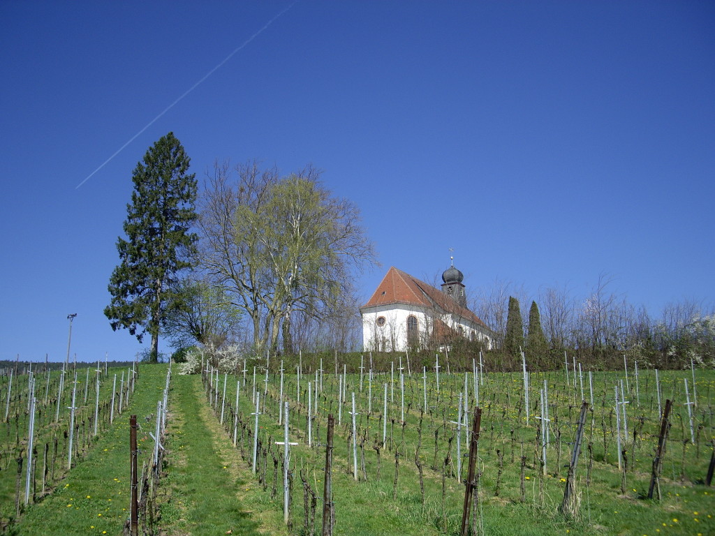
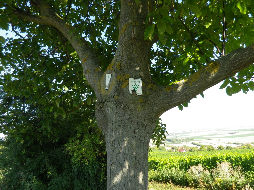
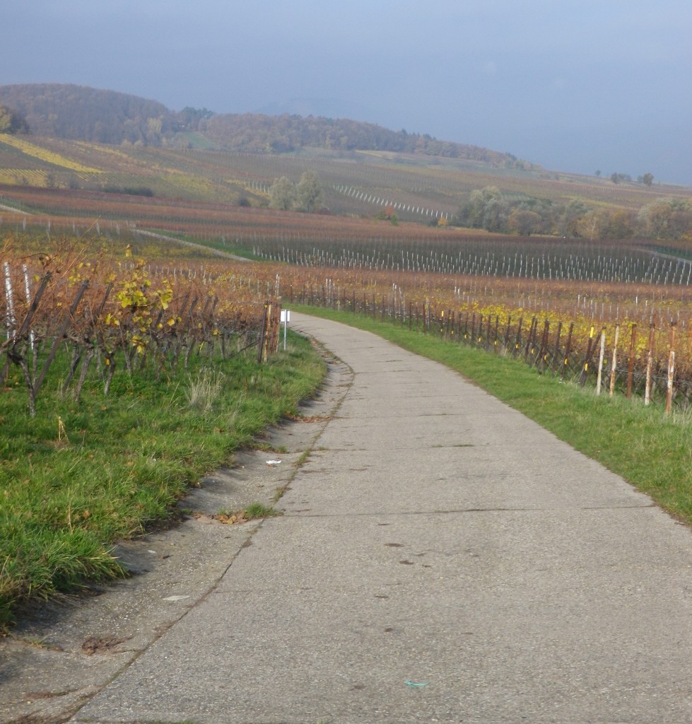
I think this hiking trail is one of the best-kept secrets in Germany. (Click here for more information.) While local people frequently use it for afternoon walks, I rarely met tourists on the trail. In fact, off-season, or on weekdays, it was often deserted at times. This trail is extremely well-maintained. Much of it is paved or hard-packed gravel, so even after heavy rains it is quite passable in sneakers just about everywhere. The signage is very good, so while advisable to have a map or navigator, it is not absolutely necessary if you have a bit of the local geography committed to memory. Additionally, villages lie only about a kilometer or two apart, so should the need arise, you are never far from help. This makes it ideal for solo hikers and families with children. Peaceful, passable most all year round regardless of the weather, safe, and never far from food and drink or restrooms, hiking doesn’t get much more pleasantly convenient than this.
Another great feature of this trail: efficient public transportation options make it easy to do all or just sections of the trail, and return to your start point. A regional bus system conveniently connects most of the villages along the southern sections, from Schweigen to Klingenmunster. Further north, a convenient Bad Duerkheim-Neustadt regional train connects those two towns and several renowned wine villages in between. In other sections, a transfer in a hub (Landau or Grunstadt) is required. All villages have bus service, and some have train service as well.
Parking need not be an insurmountable issue. While there are large, long-term, free lots at both trailheads and in Neustadt and Bad Duerkheim, if you are hiking in stages, some of the villages along the route have only street-side parking, and then, only in certain places. (Look for signs with time and residential restrictions!) Outside many villages, there are small, unimproved parking lots at intersections of major trailheads. However, the issue is to find them. Employ creative planning to prevail. For example, park at the end of your destination, and take public transportation to your start point. Or, finding that I needed to transfer in any case at Landau’s train station, the main regional transportation hub (for both buses and trains), consider parking there and riding out to your start point then back to your car from that day’s end point.
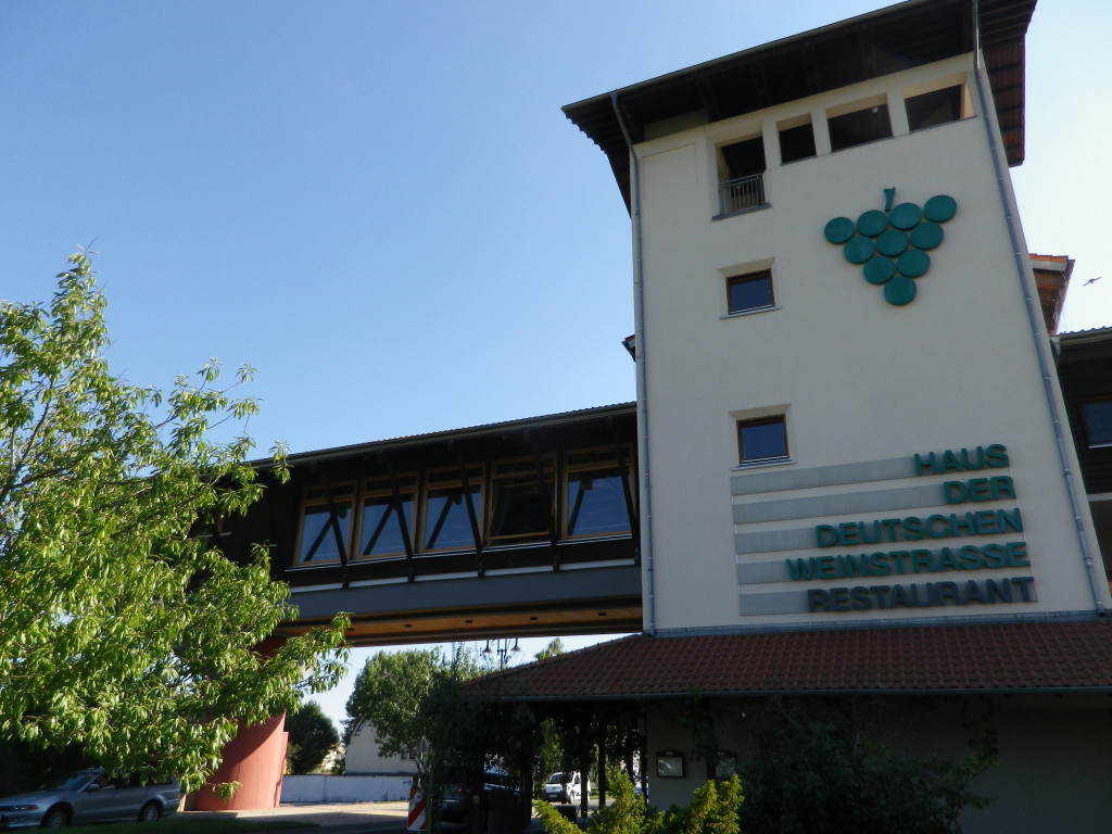
The official start point is the Haus Der Deutschen Weinstrasse in Bockenheim, heading south. However, I hiked south to north. The German Wine Route’s southernmost village, Schweigen-Rechtenbach, contains the popular and iconic Deutsche Weintor. It has a tourist office, and restrooms, and sells wine in the attached complex (a cooperative with a wide variety of local wines, and inexpensive tastings). This is the one place where you could find crowds, especially during summer and fall weekends when there is a nearby wine festival (often and everywhere in the fall: See calendar of wine events here ). So beware of the potential for crowded conditions: Cars and buses will compete for parking, and everyone competes for positions at the wine bar and restrooms.
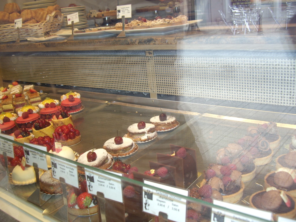
A delightful, and often less crowded alternative start point, is less than two miles south in the French town of Wissembourg (Weissenburg on German signs). I like to start there, after fortifying myself with a warm, buttery croissant from Patisserie Rebert, one of the best pastry shops (patisserie in French) I have ever frequented. (It doesn’t hurt that they also make and sell excellent chocolates – a necessity for any hike.) Park your car in one of the large parking lots in Wissembourg, and from the hospital on Route de Weiler, head north on Rue du Chateau St Paul, onto a path toward the Chateau (look for a crenellated tower), continue through vineyards into Schweigen-Rechtenbach, and thence to the Weintor on the Deutsche Weinstrasse. The hiking, biking or automobile fun all begins here!
But I haven’t had my café au lait yet, so more on my actual hiking experience later. Meanwhile, be inspired by the information in the links!
Click here for additional posts on hiking this trail.