What do the Dentelles de Montmirail and Gigondas wines have in common? In my mind, both are compelling and chiseled. The explanation is a bit further below. First, some definitions of terms used.
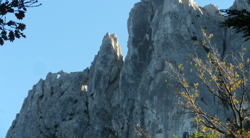
What are the Dentelles? A scientific explanation would go into the creation of limestone, and then into a discussion of plate tectonics and fault lines. Together, these geological forces created sharp ridges of jagged, limestone peaks rising over 500 meters. A photograph is much more impressive though.
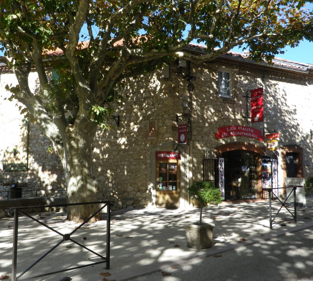
Gigondas wine shares the same geography, if not geology, in this corner of France. It is red wine from the vineyards around the Dentelles and the village of Gigondas, in the southern Rhone Valley region, that qualifies as Appellation Gigondas Controlee wine.
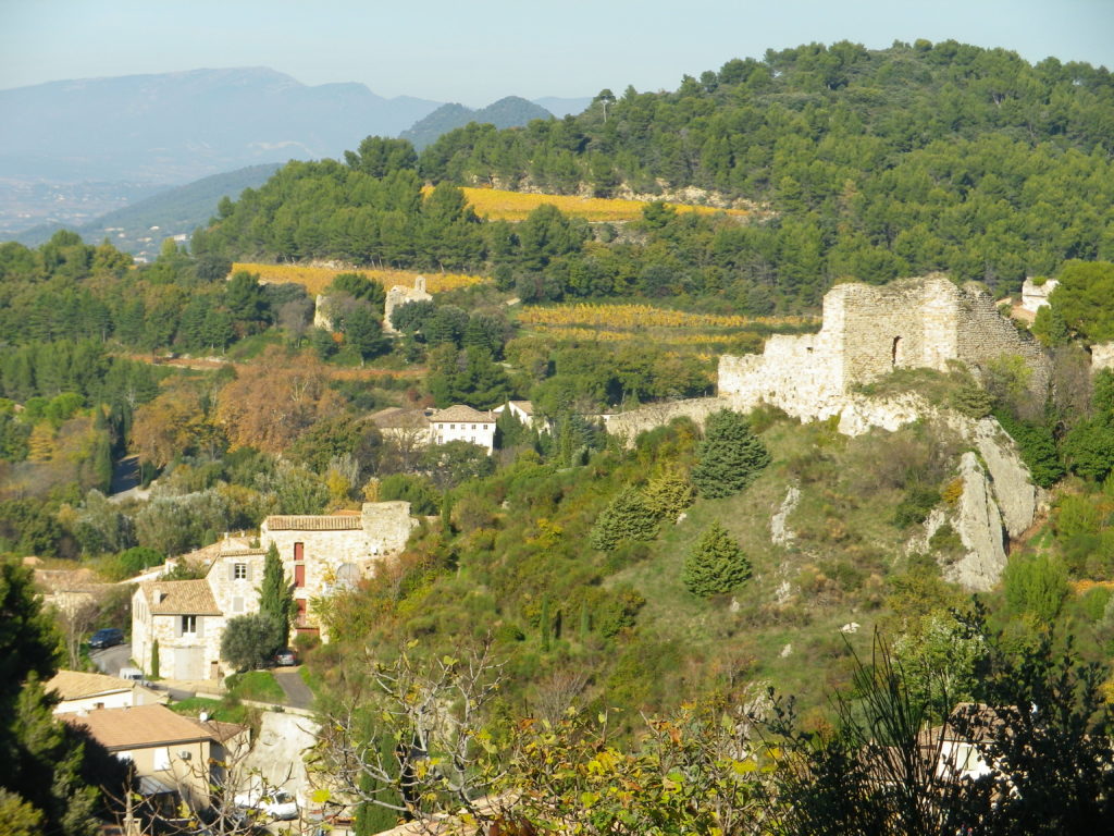
The village itself is situated at about 250 meters above sea level. And the trail I hiked rose even higher, starting from the very heart of Gigondas. The base of the Dentelles, where the ridgeline begins its perpendicular rise, is less than two kilometers away. The highest peaks are almost 600 meters above sea level. A rather steep incline, needless to say.
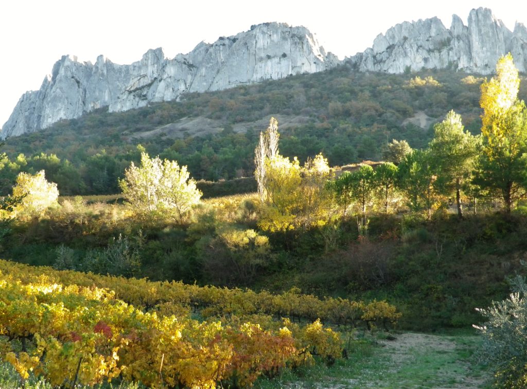
In between those two points, the trail meandered through vineyards, planted just beyond the last houses in the village. The trail led by, or offered views of, the vineyards of Derriere Vieille and La Marone et Beau Regard, names to look for later on bottles. Passing gnarled knobs of vine, the trail circled upward, as olive trees, Aleppo pines, and a scotch broom-type plant began to compete with vines for toe-holds on the slope’s dusty, meager, stony soil. Higher on the trail, this patch-work effect of vineyard and non-vineyard area became more apparent, and incidentally, more photogenic. By contrast, beyond the village below and not within the appellation, whole swathes of vineyards covered many hectares of land.
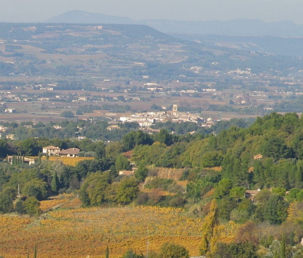
The views stretched for miles to the west. The village of Sablet, set in its tight, defensive circle, was easily identifiable to the northwest. The distinctive, muted colors of vine foliage filled the valley floor. Somewhere, the l’Ouveze river, too small and spent in the fall to see, made its way through the valley to the Rhone. I took the trail to Col du Cayron. Shortly afterwards, came the Rocher du Midi, with a nice picnic area, and, if willing to climb to it, an orientation table on an observation platform overlooking not only the valley below, but also offering the first glimpse of the Dentelles rising behind the village, and Mount Ventoux in the far distance.
The points on the trail between the Rocher du Midi and the Col de Cayron form a giant amphitheater, its spectators the peaks of the Dentelles. With the massive, towering rock to block the wind, and reflect the heat and light of the sun, it becomes easy to see why vines would do well here, in spite of the altitude, and in spite of the shadows cast into this steep bowl. Hiking along the slopes of the Dentelles, I could see the vineyard (and Domaine and hotel) of Les Florets, on the opposite side of the amphitheater.
The true highlight of this hike though, was at the distant point, at the Col de Cayron, where the extraordinary limestone ridgeline came into close view. Sharp peaks, astringent like some of its greatest wines, rose to dizzying heights before me. Chiseled into fantastic shapes, as vintners here manage to craft their wines from this rugged landscape. Standing amidst rocky vineyards and the Dentelles, the compelling beauty of this unique environment fully reveals itself, just as the compelling flavors of Gigondas wine manifest themselves in the glass. In Gigonda’s robust landscape, such are the commonalities between the wine and the terrain.