Trail Name: Wii Wegli
Trail Type: Long distance; well-maintained and usually paved or hard pack, marking on the trail very good throughout.
Length: 81.6 kilometers/ 50.5 miles (See note below)
Convenient to: Freiburg, or Weil am Rhein, Germany; Basel, Switzerland
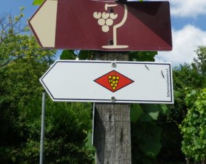
Marking: Yellow grape cluster on a red diamond on white background (Note: many times the red has faded to white. Another note: In the final segment, the trail often follows the Jacobusweg: yellow cockleshell on blue)
Trail Description: A trail through a variety of magnificent landscapes and villages, all connected with wine production. While some sections were more challenging than others, due to the inclines, for the most part, this trail is easy, and alternates between sun and shade, urban and rural, and fields, vineyards and forests.
Trailheads:
Overall: Weil am Rhein – Hauptstr x Loerracherstr (south) / Freiburg/Sankt Georgen – Andrea-Hofer-Strasse (north)
Midpoint: Muellheim to Niederweiler, on Wolfackerweg
Parking: (Northern half only)
Niederweiler – Unterer Rebweg, a wander parkplatz
Staufen – Am Schliessrain; alternatively – KrozingerstrxBahnhofstr (but further away)
Ehrenstetten – Wenzinger Strasse (near the intersection with Marktstrasse)
St Georgen – (street parking only observed) near the train station, Im Glaser/Wendlingerstr
Public Transportation Options:
Rail: Deutsche Bahn regional trains serve the area from Staufen to Weil am Rhein, and north to Freiburg.
Bus: See http://www.vag-freiburg.de/startseite.html
Suggested Stages:
Weil am Rhein – Blansingen (21 kilometers)
Blansingen – Muellheim (19 kilometers)
Muellheim – Staufen (19 kilometers)
Staufen – Freiburg/Sankt Georgen (25 kilometers)
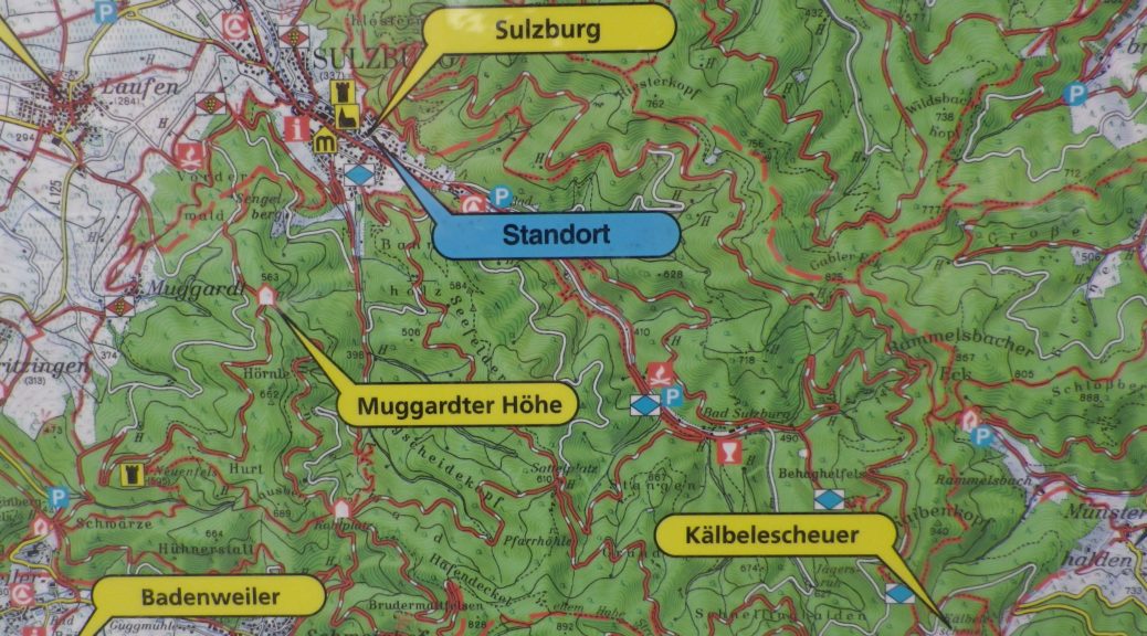
Trail Itinerary-Reference Points: (Northern half only)
Niederweiler: Lipburgerstr; Weilertalstr; up the Rebberg (vine hill), forest to a point named Philippslinde; Britzingen: cross Schwaerzestrasse, woods and fields, then cross Heilweg; Muggardt: through village center; woods and vineyards; Sulzburg: Hauptstrasse-Alte Poststr, Gustav-Weil-Strasse, Neubergweg; vineyards, forests; Ballrechten: Ziegelhofstrasse; vineyards and forest; Grunern: Am Prestenberg; Storchenstr, Dorfstr; Staufen im Breisgau: Munstertaelerstr, Hauptstr-Kirchstr, Boetzenstr; Sankt Gotthardhof; forest; Ehrenstetten: Wentzinger Strasse, Schmiege; vineyards; Lairenstr, cross over L125; vineyards; Ebringen: Duerrenbergstr, Schoenbergstr, Schlossplatz; vineyards, forest; Sankt Georgen/Freiburg in Breisgau: Winzerstr, Obere Schneeburgstr, under train tracks, Schneeburgstr; Andreas-Hofer-Strasse.
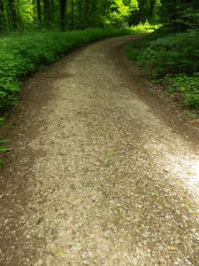
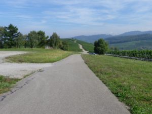
Representative Trail Photos:
Restrooms: (Northern half only)
Ehrenstetten – Wenzinger Str, (near the intersection with Marktstrasse)
Staufen – off Muenstertaelerstr, near Am Schliessrain parking, along the river
Attractions on or near Trail: (Northern half only)
Tasting along the Trail: (Northern half only)
Staufen – Winzergenossenschaft Staufen
Ebringen – Weinbetriebsgenossenschaft Ebringen/Winzerhof Ebringen; and Schlossgut Ebringen
Alternative Options:
Biking: Markgraefler Rebland Trail; See the nutshell.
Car: Badische Weinstrasse, a car itinerary route from Weil am Rhein to Baden-Baden
Additional Information:
Regional: http://www.markgraefler-land.com/Erlebnisse/Wandern/Markgraefler-Wiiwegli
Trail specific: https://www.outdooractive.com/de/fernwanderweg/suedlicher-schwarzwald/markgraefler-wiiwegli/3322947/
Comments:
Highly recommend this trail.
A six-kilometer extension was recently added south of Weil am Rhein. Now, the Wii Wegli begins at the German village of Grenzach-Whylen, on the Rhine River, passes through a Swiss suburb of Basel (Riehen), and then re-enters Germany at the city limits of Weil am Rhein. It rejoins the original trail in the vineyards above Efringerstrasse.