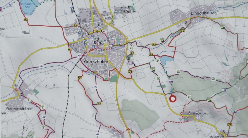
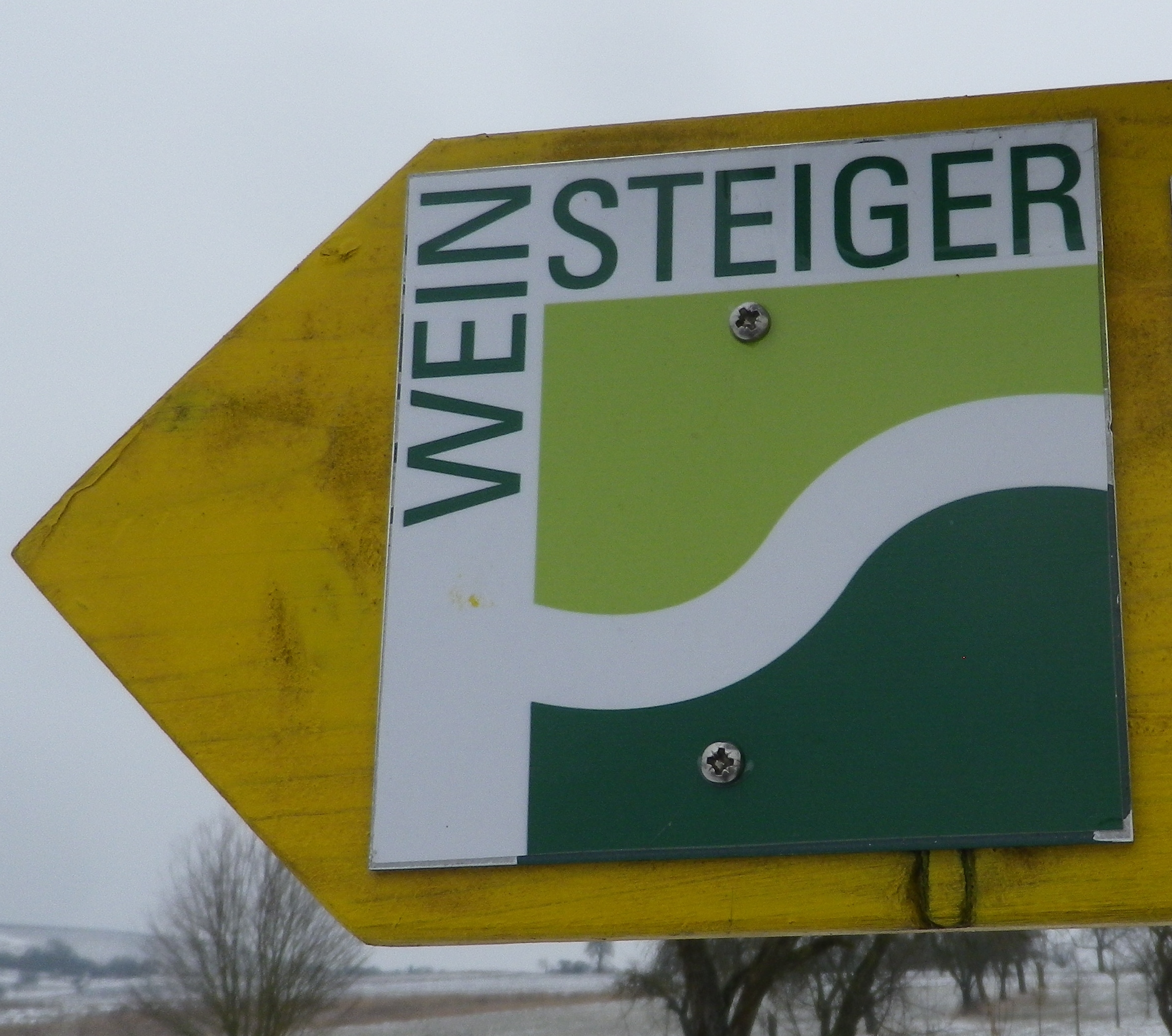
Trail Name: Weinsteiger
Trail Type: Long distance; well-maintained and almost exclusively paved, marking on the trail
Length:
Total – 42.5 kilometers/26.4 miles
Segment Covered Here – @19.5 kilometers/ 12 miles*
Convenient to: Kitzingen, Schweinfurt, Germany
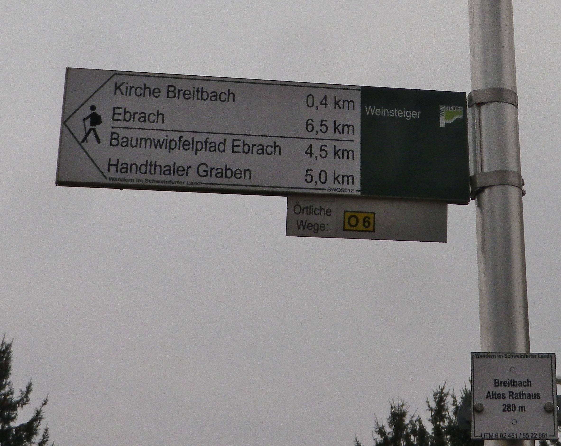
Marking:
Square with the word “Weinsteiger” in black on a white background, with a smaller square composed of light and dark green beneath the word. Sometimes seen on directional signs as well.
Trail Description:
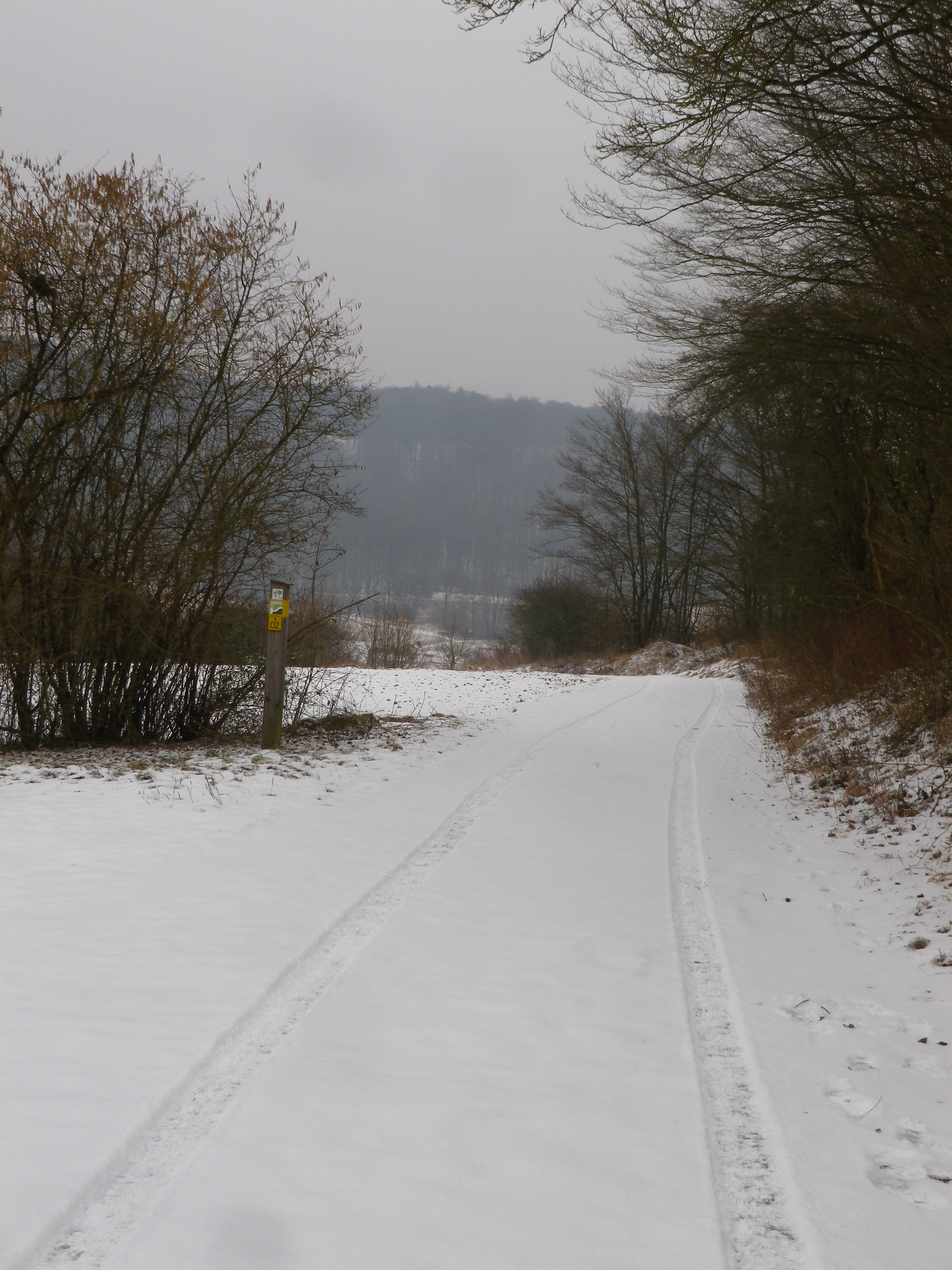
A well-maintained wine-themed trail through an ever-changing landscape, from forest to field to vineyard and village, where education panels note the salient aspects of viticulture here, and the highs and lows, literally, of this trail make it a pleasant challenge for most hikers.
Trailheads:
Official (complete trail – start): Donnersdorf, Kirchstrasse
Official (complete trail – end): Ebrach, Weiherseeweg
Mine (about trail halfway point): Gerolzhofen, An der Klesenmuehle,
Parking (from Gerolzhofen, An der Klesenmuehle to Kammerforst only):
Gerolzhofen: off St 2272 (heading to Wiebelsberg): Parkplatz Eichelmannsee (AKA: Militaer Reitplatz)
Handthal: Wanderparkplatz Handthal (AKA: Parkplatz Steigerwald Zentrum), also Parkplatz am Stollburg, both just a turn off the main street
Oberschwarzach: Parking by the Spielplatz and Sportplatz off Handthaler Str.
Public Transportation Options:
Rail: Deutsche Bahn serves Gerolzhofen
Bus: VVM or VGN buses run limited schedules along the route, so check schedules
Suggested Stages:
The whole trail could be completed in two (long) days, with Gerolzhofen as the mid-point
This half of the trail could be completed in a day, but, if necessary, two stages could be Gerolzhofen: Klesenmuehle – Roter Berg, Gaststube Stollburg or Handthal, Brunnenhof Restaurant; and from there to Ebrach
Trail Itinerary-Reference Points: (North to South, southern half to Breitbach only)
Gerolzhofen: An der Klesenmuehle, Gertraudiskapelle, fields, Model plane airfield, to intersection dirt road and Wiebelsbergerstr/St2272; past small unimproved parking lot, into (or along) woods; Wiebelsberg: Aussichtspunkt Wiebelsberg Hut, above vineyards along a line of trees; Mutzenroth: unnamed roads; Roter Berg, Gaststube Stollburg; Handthal: vineyards, around the edge of Parkplatz (parking area) Zum Baumwipfelpfad, Through the main road through the village, past the Brunnenhof Restaurant; toward the Steigerwald Zentrum, along tree line and fields; Oberschwarzach: past sports fields, Schwarzach Quelle (spring source), vineyards, circle toward but beneath the Vierzehn Nothelfer Kapelle (chapel); Kammerforst: Kammerforster Weg;
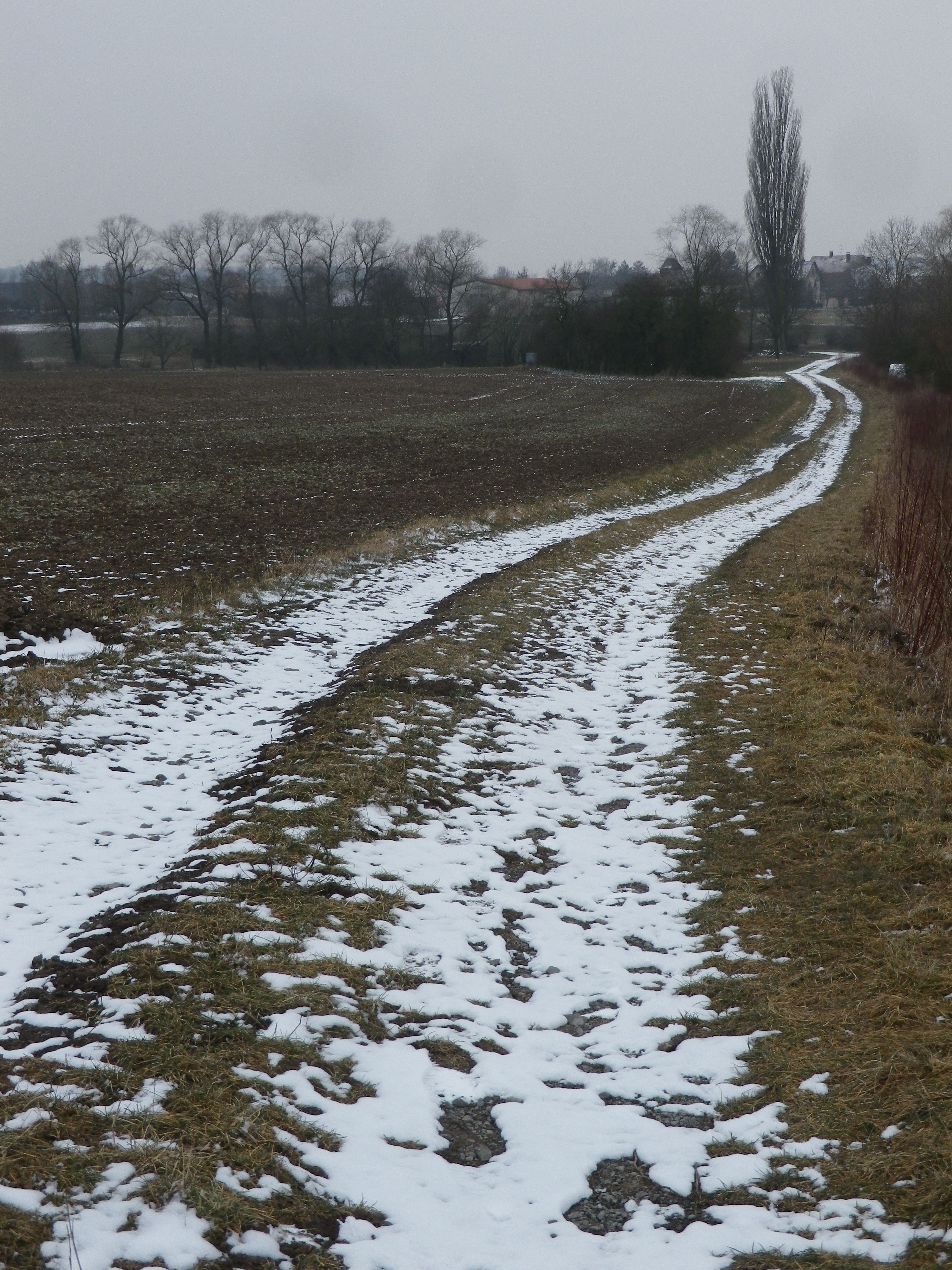
Representative Trail Photos:
Restrooms:
Gerolzhofen: Several in the historical section, not far from the church and tourist information office, but almost a kilometer off the trail.
Ebrach: on the main street, by the Orangerie/opposite the cloister church.
Attractions on or near Trail:
While not wine themed, the Baumwipfelpfad (a treetop walkway) in Ebrach, offers hikers a uniquely German venue from which they can experience a 360 degree look out over the forest and countryside they have just hiked.
Tasting along the Trail:
On the southern half of the trail, wineries are mostly in Handthal, Oberschwarzach, and Kammerforst
Alternative Options:
Biking: The circuit bicycle tour Zum Wein am Steigerwald is a 40.5-kilometer itinerary through quiet Frankish villages, fields and some vineyards, north and east from its official trailhead in Gerolzhofen.
Additional Information:
Regional: https://www.steigerwaldtourismus.com/
Trail specific: https://pages.et4.de/de/schweinfurt-360/wlan/detail/Tour/39C77D75F7FC12B4F055E9FF21FB77BD/weinsteiger-steigerwaldklub-donnersdorf-ebrach or https://www.steigerwaldtourismus.com/wandern/#/de/steigerwald-info/default/detail/Tour/t_100270048/weinsteiger
Comments:
This segment covers only the trail segment between outside Gerolzhofen and Ebrach.
*My actual hiking took place only from
outside the Jewish cemetery near Gerolzhofen to the vineyards below the Vierzehn Nothelfer Kapelle (between Oberschwarzach and Kammerforst), about 10 kilometers/6 miles.