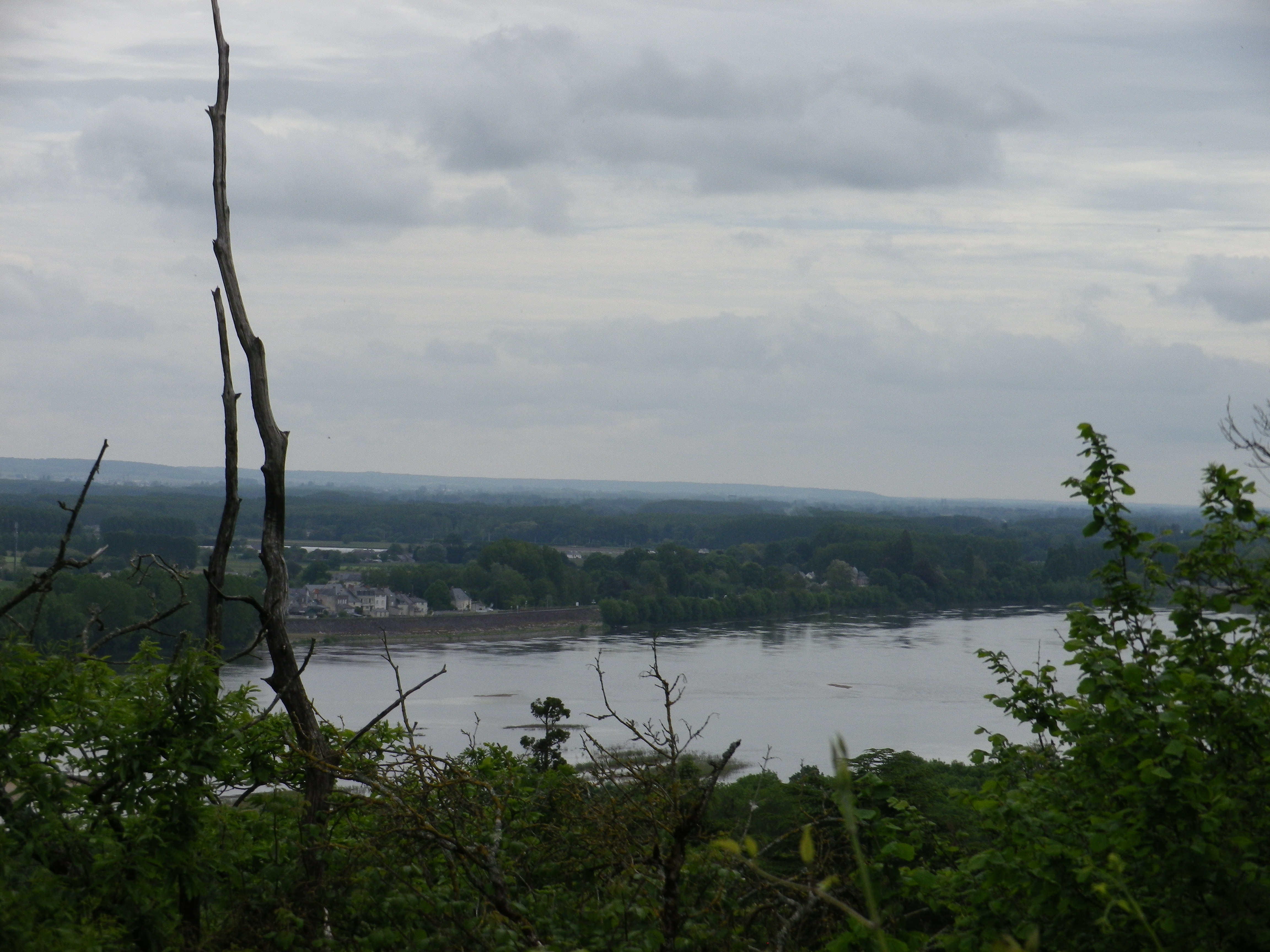
“A sea of vineyards – above the Loire River, under rain-laden clouds”
This is how I will always visualize this hike.
Maybe because we were in “la Douce France” (gentle, soft, sweet France), the rain fell only softly, and then not for long, to the chagrin of the vintners, but to our delight because sections of the trail would have turned muddy with heavier rains, or a higher river. As it was, the cloud cover served nicely to protect us from what otherwise would have been a hot day in the sun.
The trail begins with a leisurely stroll, following the Loire River downstream, along the river’s broad, sandy edge. Bicyclists share this part of the trail as the 800 kilometer-long Loire River bike trail (Loire a Velo) passes along the left bank of the Loire in this section. (This biking trail provides an attractive, active alternative for sporting visitors to this region.) Sheltered by tall trees and distanced from the main road through the village of Dampierre, it is idyllic passage for both hikers and bikers.
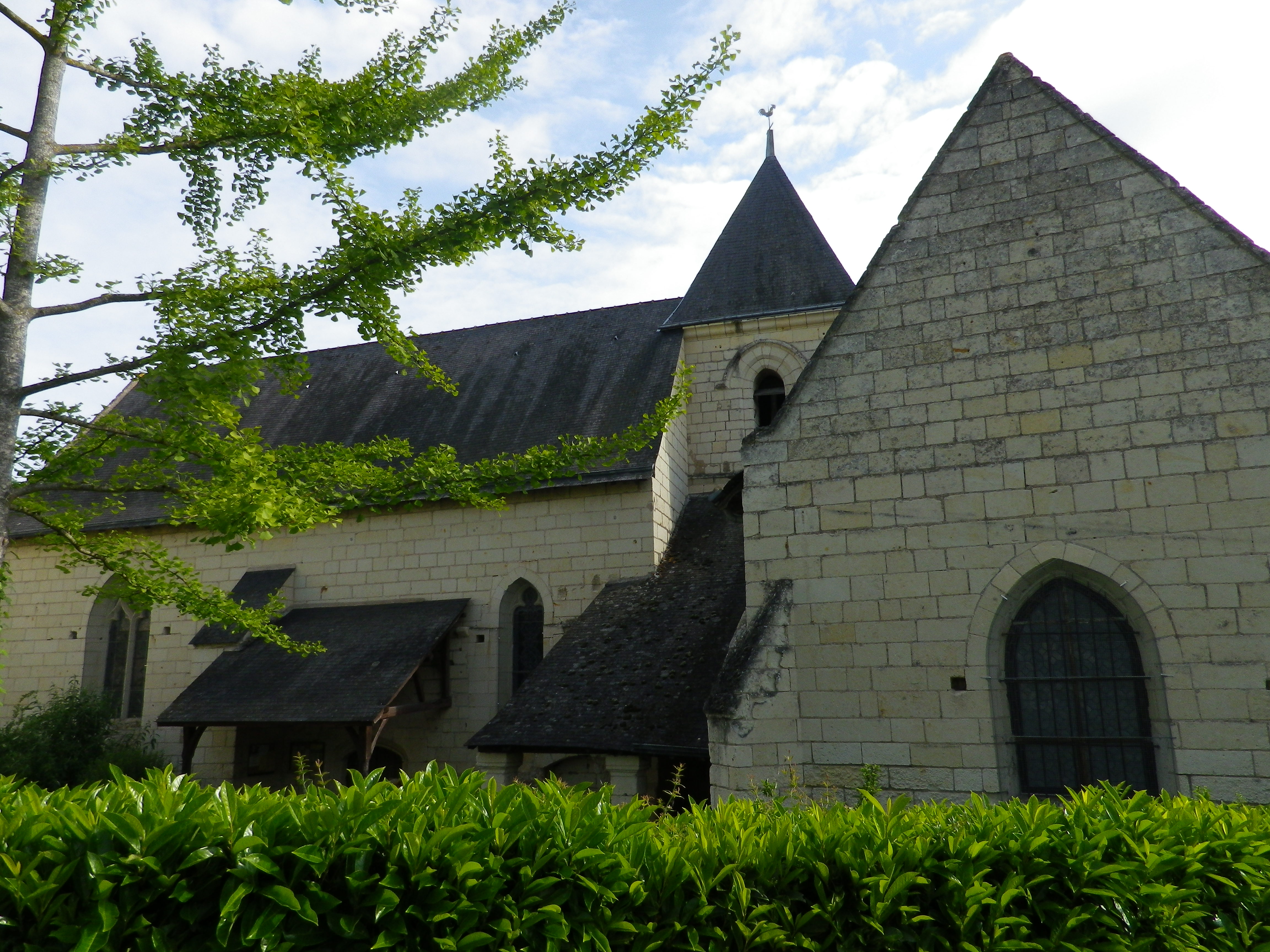
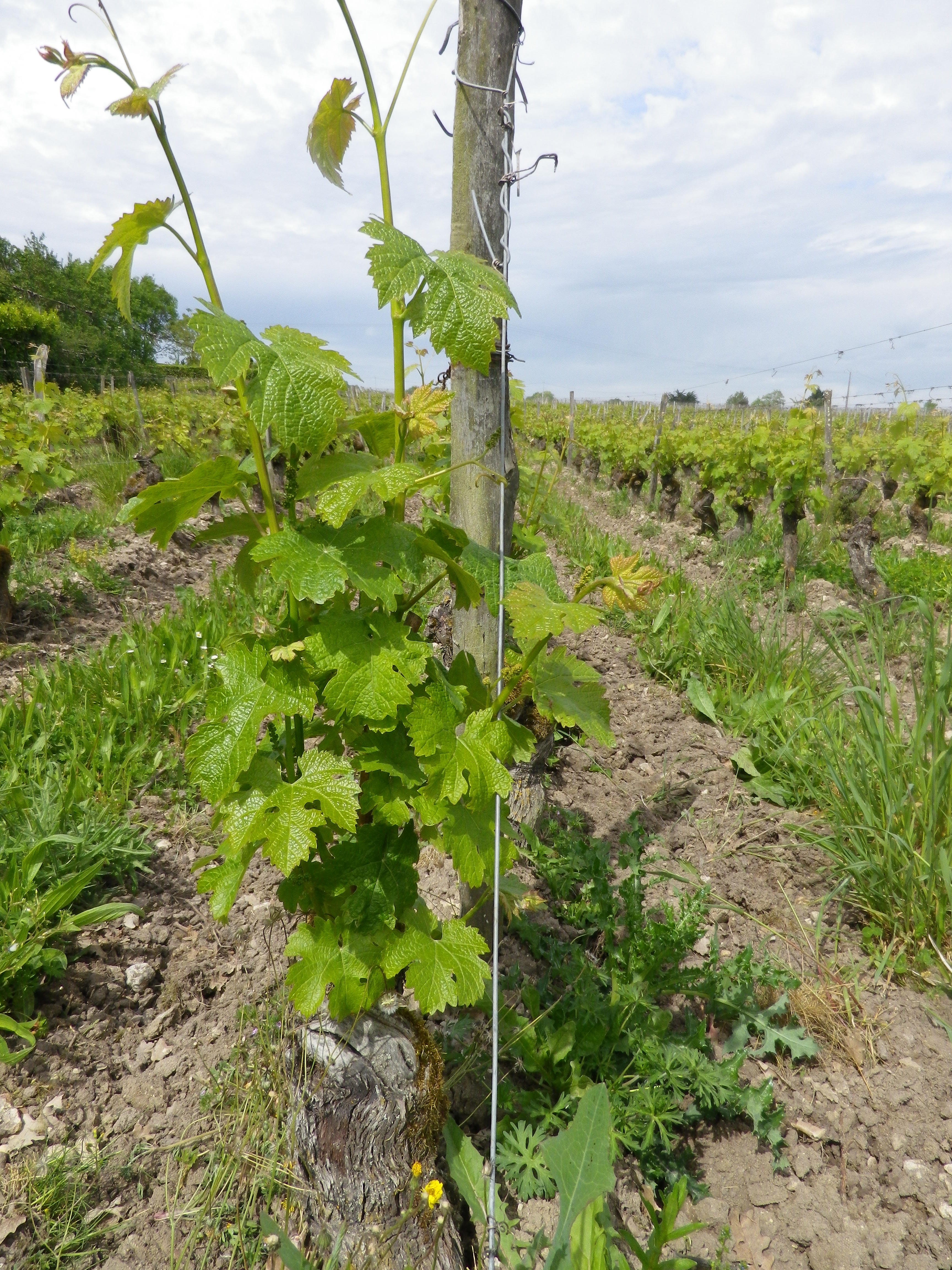
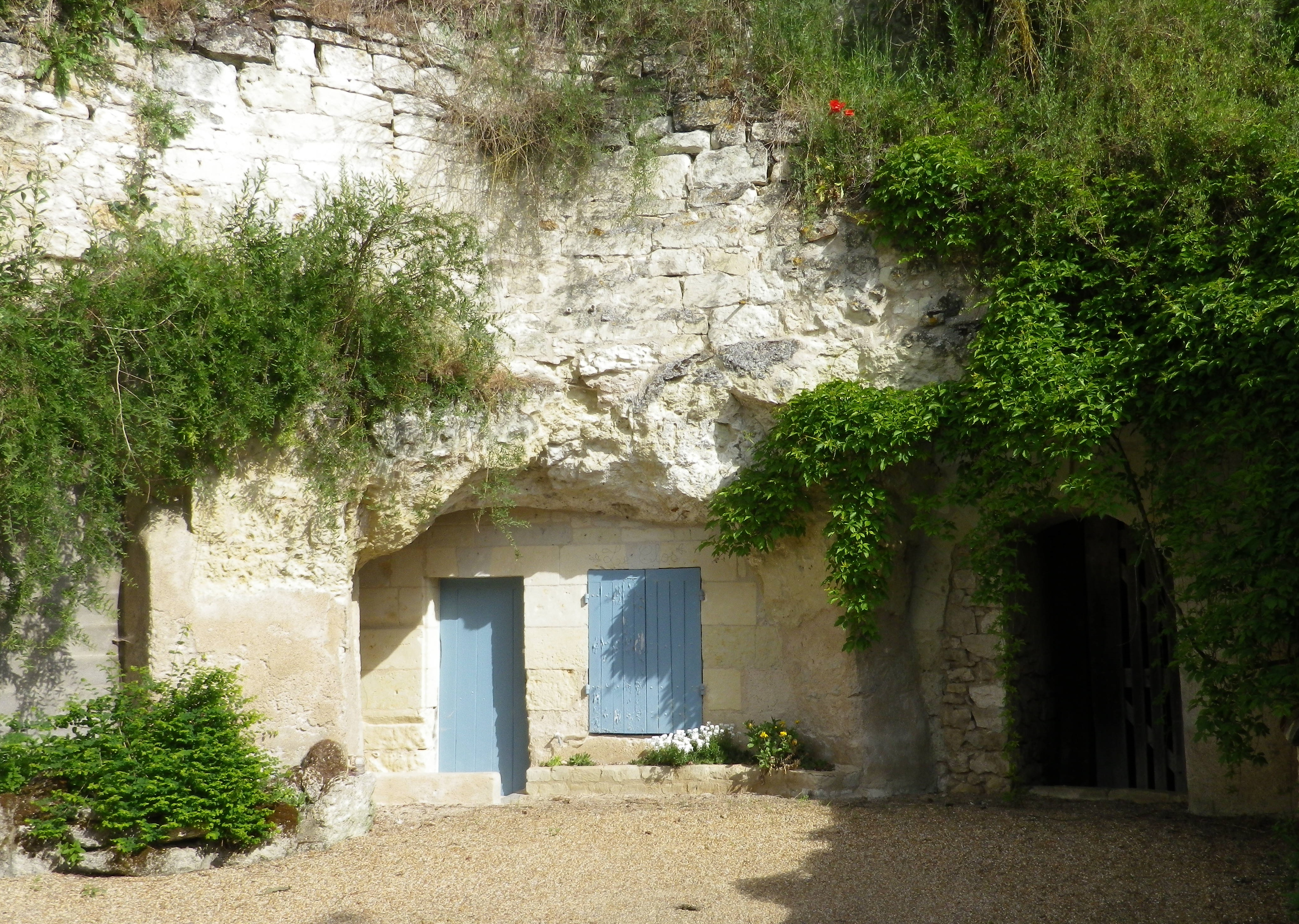
Once past the charming village church, the first of several caves appears, as the trail begins to rise uphill. Caves have been used for millennia in this area, and are still in use today as garages or storage areas, wine caves, mushroom caves, and temporary or seasonal dwellings. This practice truly maximizes the use of the land for making wine: The white tufa stone, relatively easy to excavate, provides building material for monasteries and churches, and regional chateaux, sheltering those who were once the largest consumers of wine; the caves provide dry and cool storage; and the surface is used for grape cultivation.
When the trail reaches the crest of the bluffs overlooking the river, the Loire from above seems flat, meandering, and almost somnolent. But the Loire is far from a lazy river: Its current is strong and swift, and subjects the water flow to periodic shifts. As evidence, huge sandbars, constantly shifting yet historically persistent navigational hazards, dot the riverscape as far as the eye can see. The views over the river extend far to the east, north and west, toward the Atlantic, 120 miles downstream.
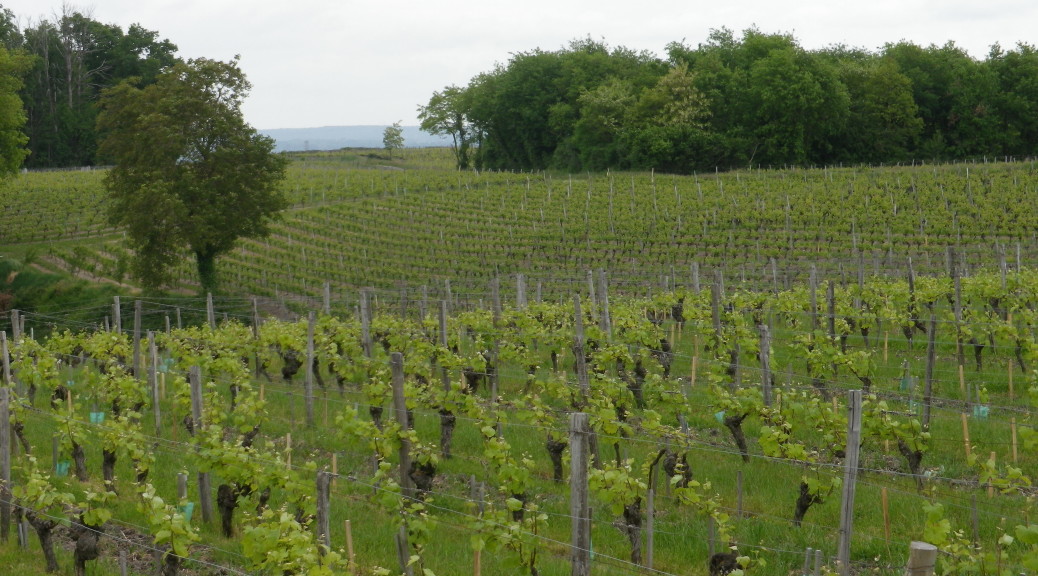
Turning south, away from the river, the sea of seemingly endless vineyards, covers a high, slightly undulating plateau. The trail follows along its edge, circling around the vineyards for quite some time until it reaches the hamlet of Chaintres.
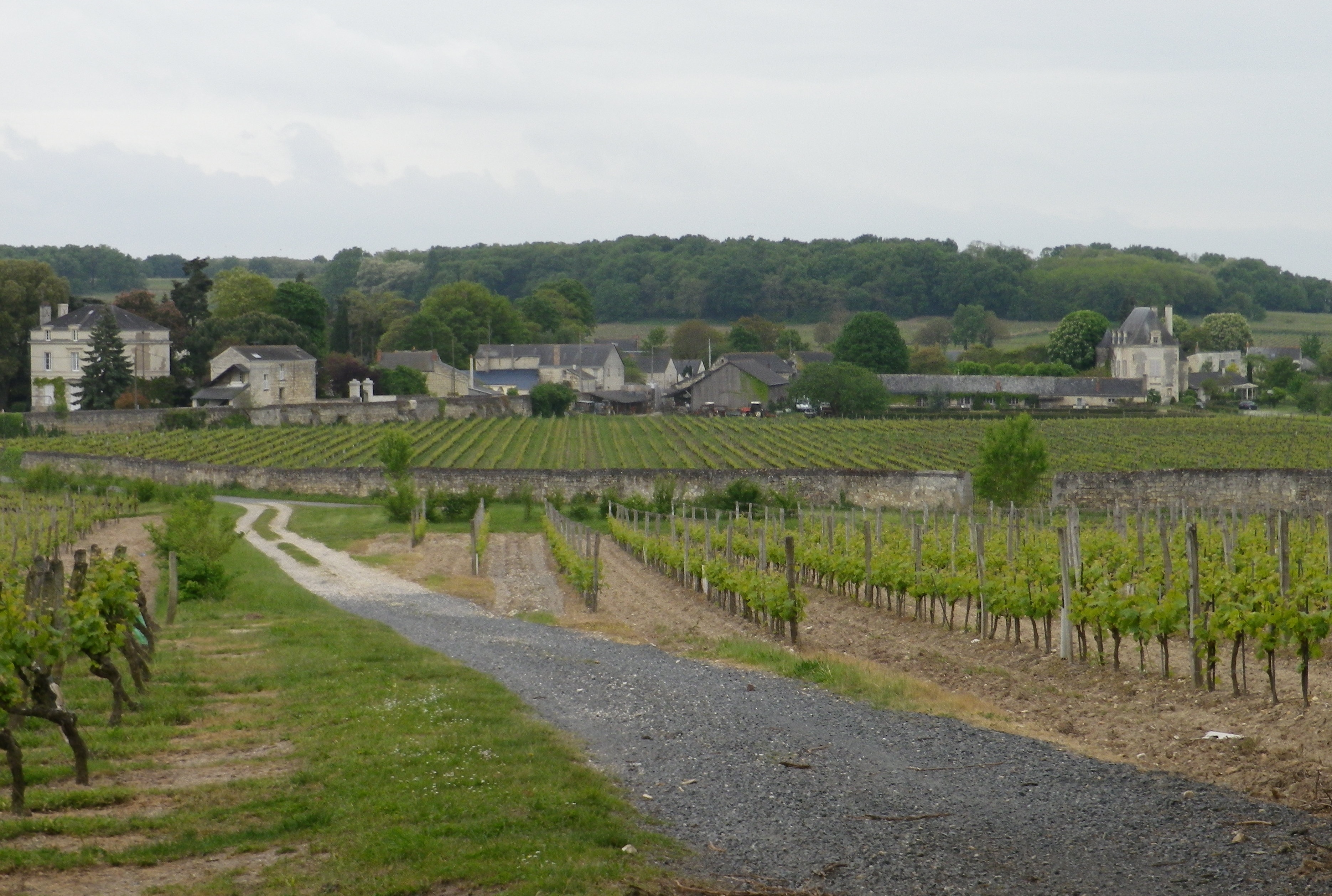
Beyond the hamlet, the trail passes through a small wood, before entering yet more vineyards. From here it is almost all downhill. The white stone buildings of Dampierre come into view again. The trail narrows as it reenters the town, and regains the main road via an obscure footpath. A restaurant loomed on the horizon, and signs to wineries beckoned, as our hike reached its end.