Trail Name: Valle dei Frati; AKA: CAI 746
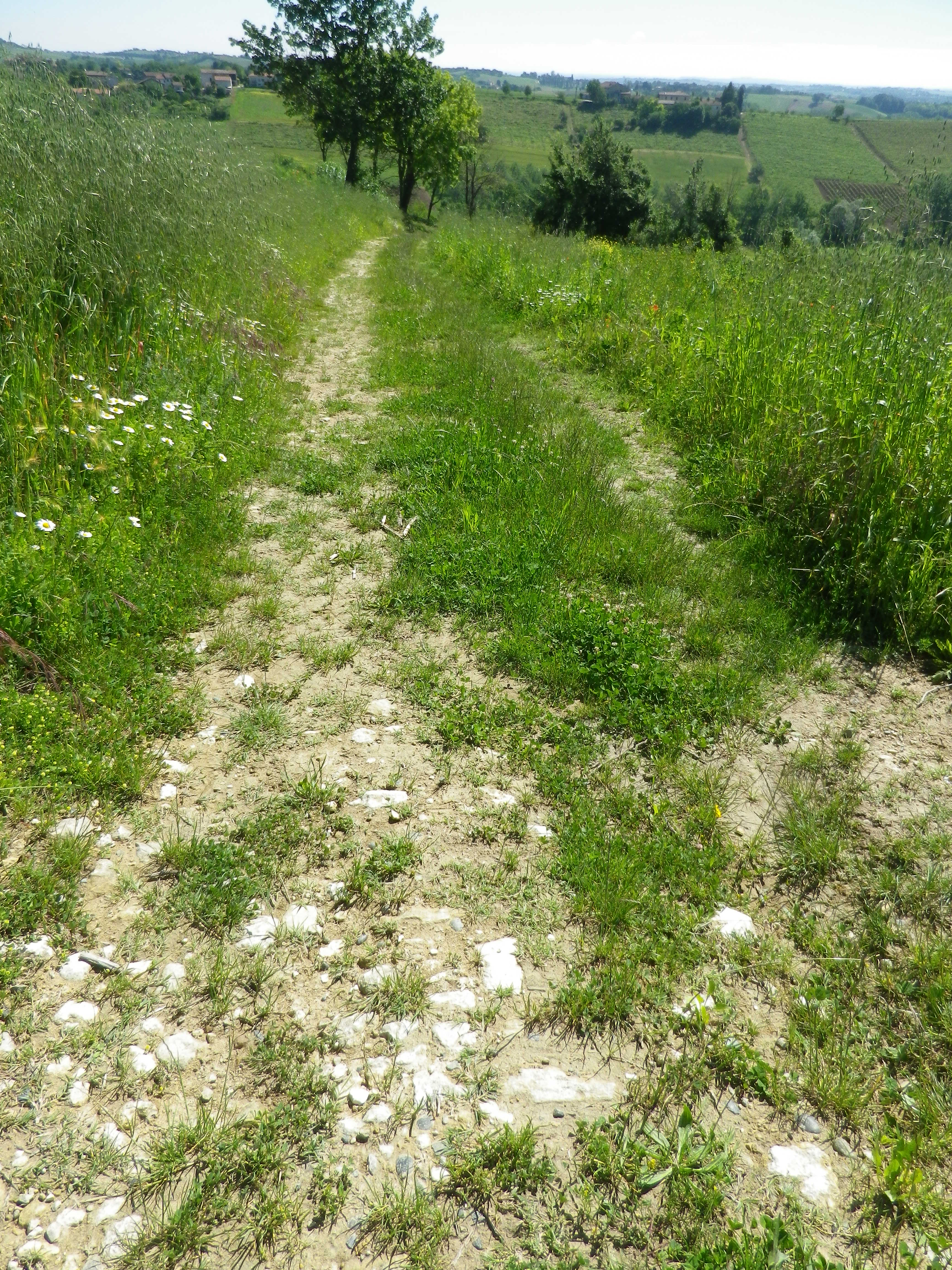
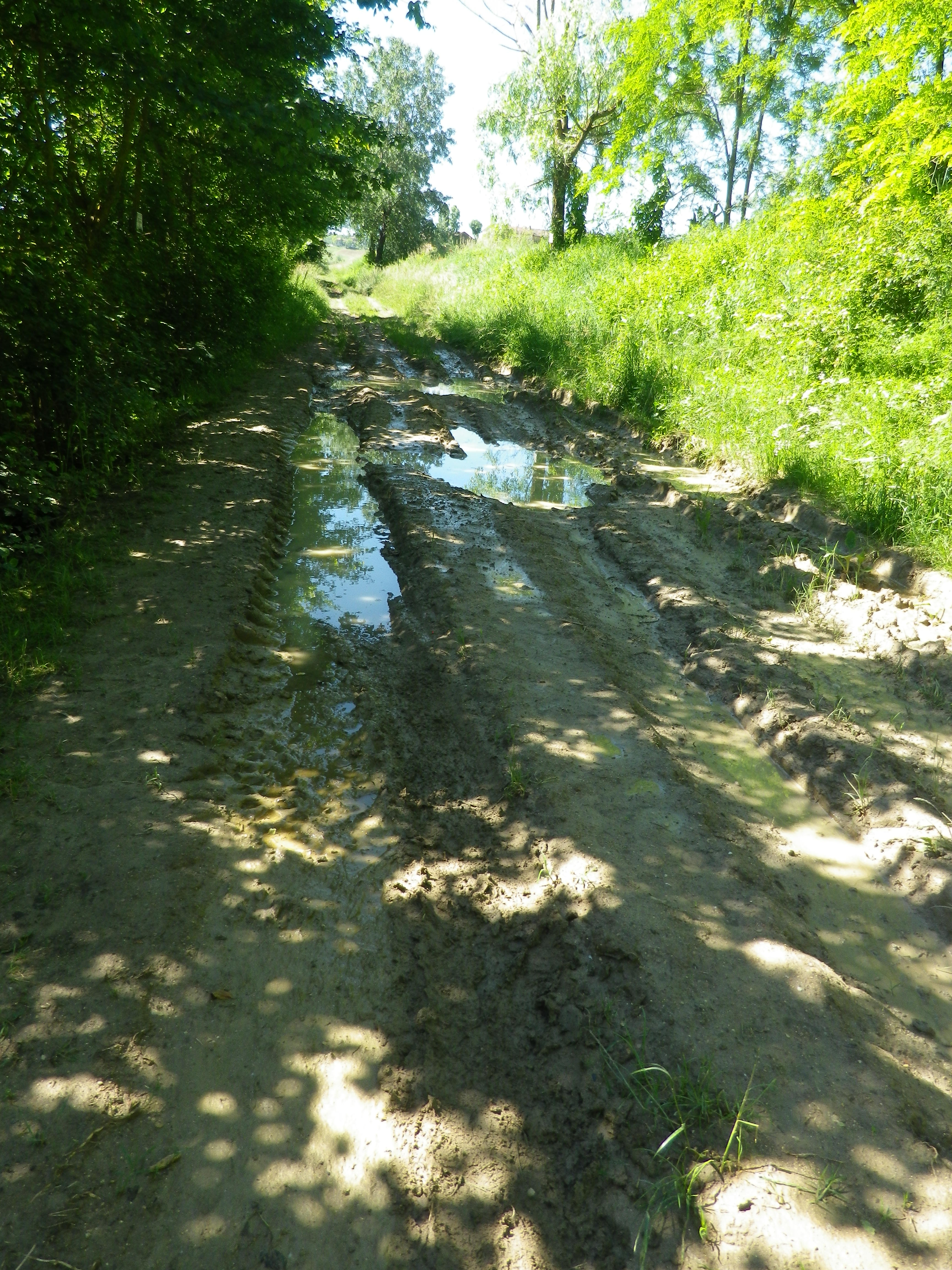
Trail Type: A short distance circuit trail; well-maintained and almost exclusively hard-packed surfaces, from tarmac to grassland, although there were a couple of small muddy grassland spots; the trail is fairly well marked.
Length:
Total – 8 kilometers/4.97 miles
Convenient to: Casale Monferrato, or Asti, Piedmont, Italy
Marking:
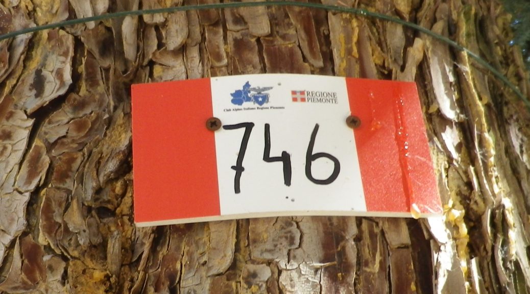
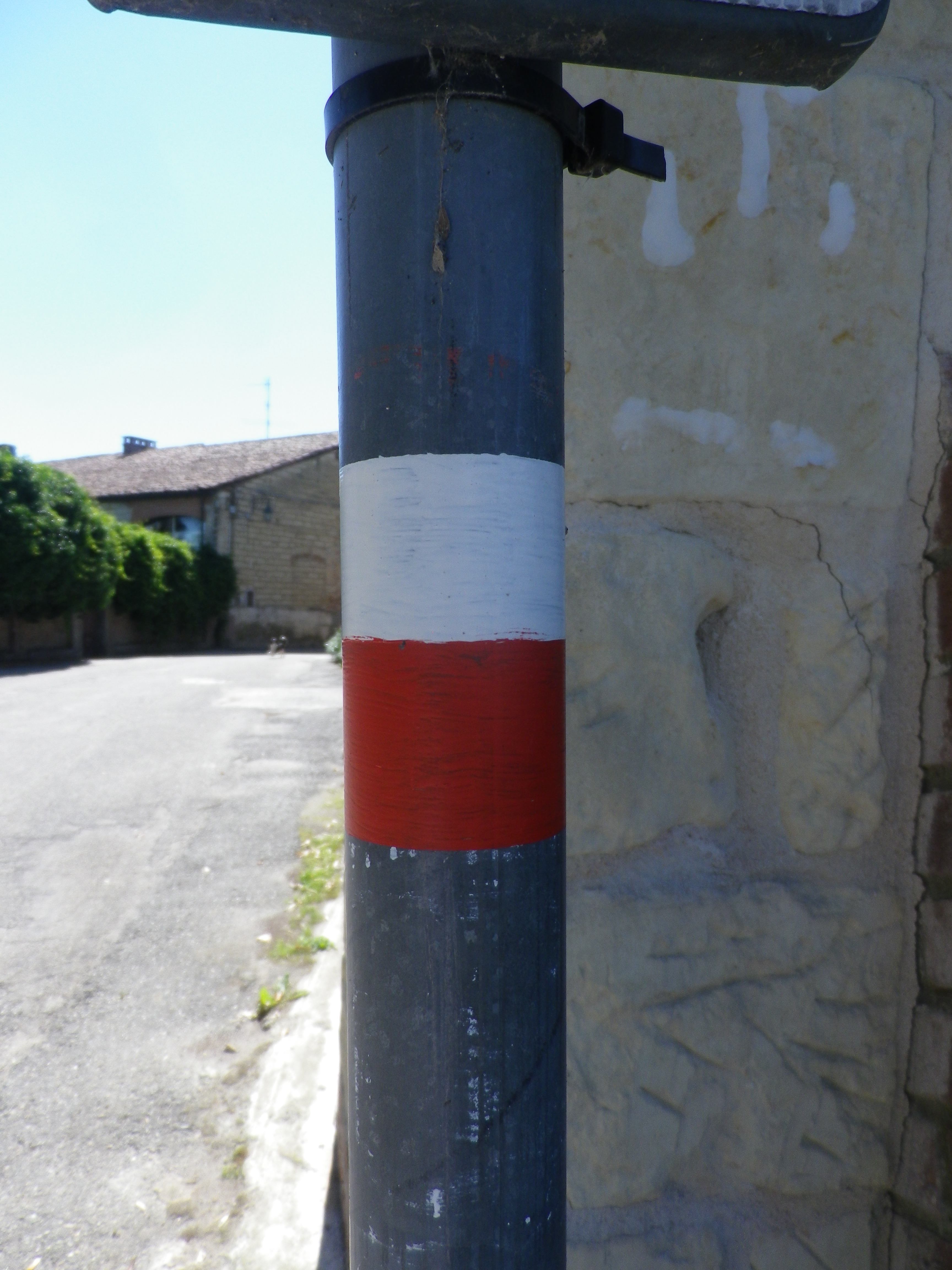
Red and white horizontal (or vertical) bars, and/or words “CAI 746” (Also see featured photo above.)
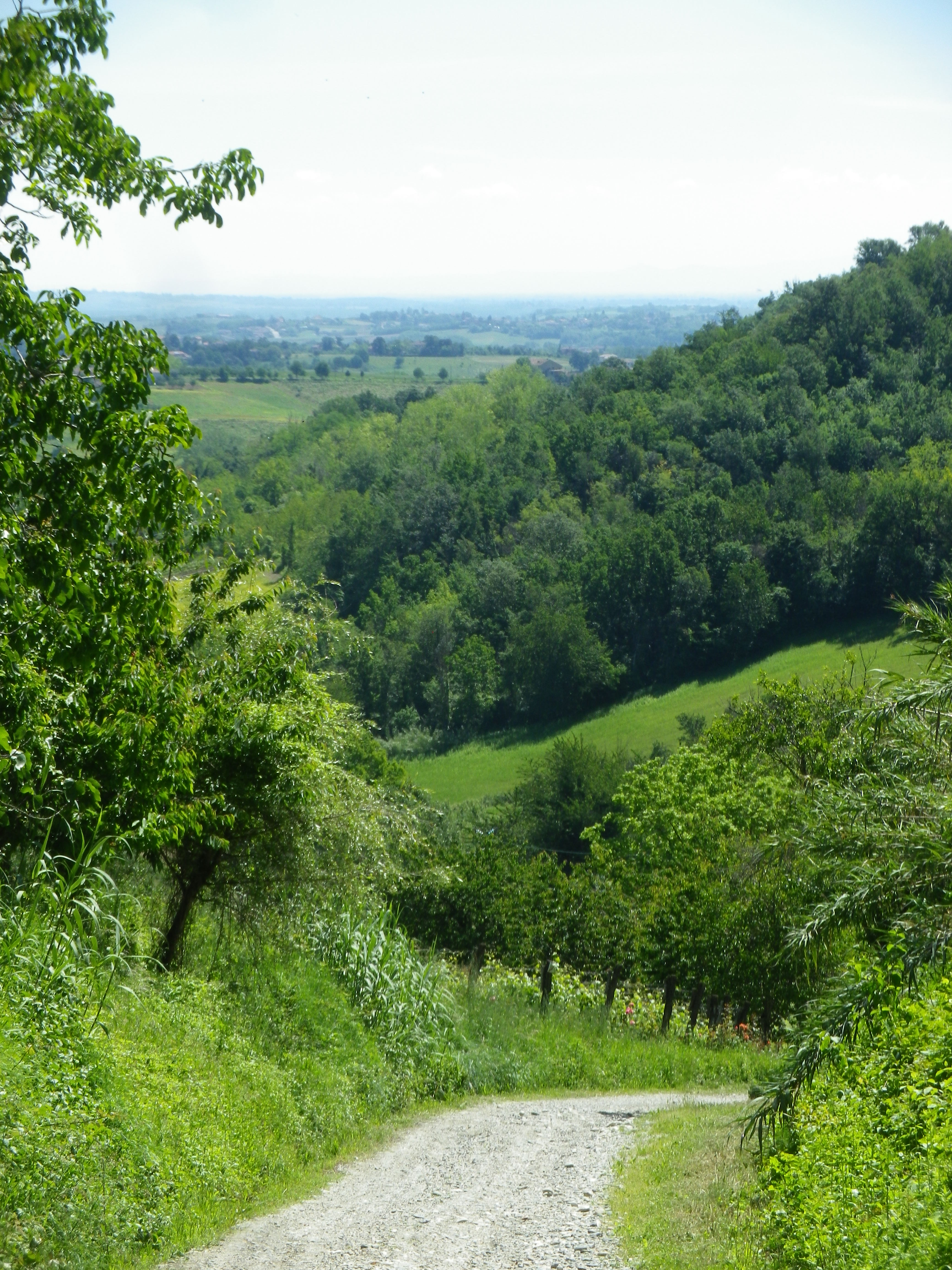
Trail Description: A short but pleasant, and not very difficult, trail along the hills and dales of this quiet section of Monferrato, with a fair amount of variety in the terrain, the flora, and in the scenery, ranging from idyllic to dramatic.
Trailhead:
Ottiglio: Via Mazza/SP37
Parking:
Ottiglio: Via Mazza. Parallel parking along some sections of the street
Moleto: Strada Comunale Moleto/SP 42, parking lot for about 12 cars (best bet, usually)
Public Transportation Options:
Rail: None
Bus: Not suggested as service is not very frequent
Suggested Stages: Not applicable
Trail Itinerary-Reference Points: (Counterclockwise)
Ottiglio: SP37, keep V Pozzoltre on the left as you pass it, Strada Comunale San Giacomo-Croce (road with sign for Prera Monsaietto), going right at tri-section on Strada Comunale Cascina Monsaietto, fields, vineyards; into forest; Moleto: SP42 to Strada Comunale Moleto, past parking at edge of hamlet, through hamlet, past oratorio; turn left at a farm house onto Strada Comunale Moleto-Curella, left at fork back to tri-section, retrace via SP37 to start point in Ottiglio
Representative Trail Photos:
Restrooms:
None observed!
Attractions on or near Trail:
Just lots of quiet countryside, set in gently rolling hills.
Tasting along the Trail:
Ottiglio: Vinicea, Via G. Marconi; Cascina Montecchio (in a hamlet between Ottiglio and Moleto)
Alternative Options:
Hiking: About three kilometers distant, in Grazzano Badoglio, (Province of Asti), is the 8-kilometer/5-mile-long circuit named Tra I Prati e le Vigne, through the local fields and vineyards.
Biking: A trail named Nel Monferrato degli Infernot, a mid-difficultly level circuit of 25 kilometers from Cereseto, passing within a kilometer of Ottiglio, follows partly on fairly well-travelled roads past the vineyards, fields and some typical villages of this area; https://www.piemontebike.eu/en/cycle-paths/nel-monferrato-degli-infernot/06a8899ea249b76340a378624783ed46/
Additional Information:
Regional: http://www.monferrato.org/eng/
Trail specific:
https://it.wikiloc.com/percorsi-escursionismo/sentiero-746-la-valle-dei-frati-i-40-percorsi-del-camminare-il-monferrato-20863695 for map; and https://www.percorsimonferrato.com/itinerario-ottiglio-moleto-valle-dei-frati/ for information on hiking the trail
Comments:
Almost definitely need a car to get to this area, and parking is perhaps best at Moleto, in the parking lot at the Ottiglio end of the hamlet, right on the trail.
You must be logged in to post a comment.