Trail Name: Kappelrodeck – Durch die Weinberge (Through the Vineyards)
Trail Type: A mid-distance circuit itinerary; well-maintained, and on mostly paved or even, hard-packed surfaces; marking on the trail is directional to the next itinerary point and not specific or exclusive to this itinerary.
Length:
Total – 10 kilometers/6 miles
Convenient to: Baden-Baden or Karlsruhe, Germany
Marking: None specific to the trail, but a series of sign posts will indicate the way to the next one along the itinerary (See itinerary below).
Trail Description: A relatively easy and pleasant circuit, with plenty of twists and turns, ascents and descents, and nice views along the way.
Trailhead:
Kappelrodeck: Marktplatz, Haupstrasse
Parking:
Kappelrodeck: Eisenbahnstr – spots by the train station; Herrenmatte – large lot; Trompeterstr – some street parking; Bronnmatt – unimproved lot
There is a parking area for hikers heading out of Kappelrodeck off Ruhmatt/L86a, in the vineyards.
Public Transportation Options:
Rail (RE7, in this case) connects the towns and cities, whereas bus service connects those to smaller villages. See bwegt.de for service and timetables. https://www.bwegt.de/ihr-nahverkehr/reiseinformationen/fahrplanauskunft
Suggested Stages: Not applicable
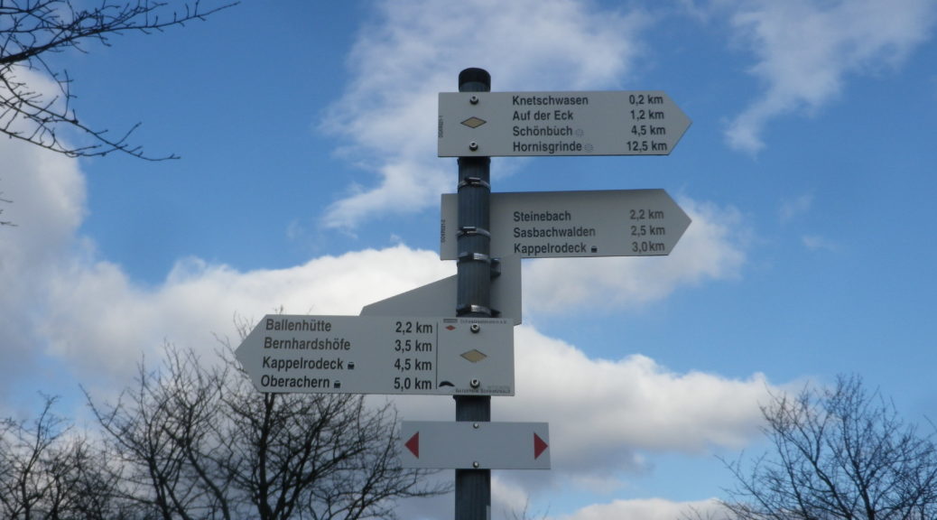
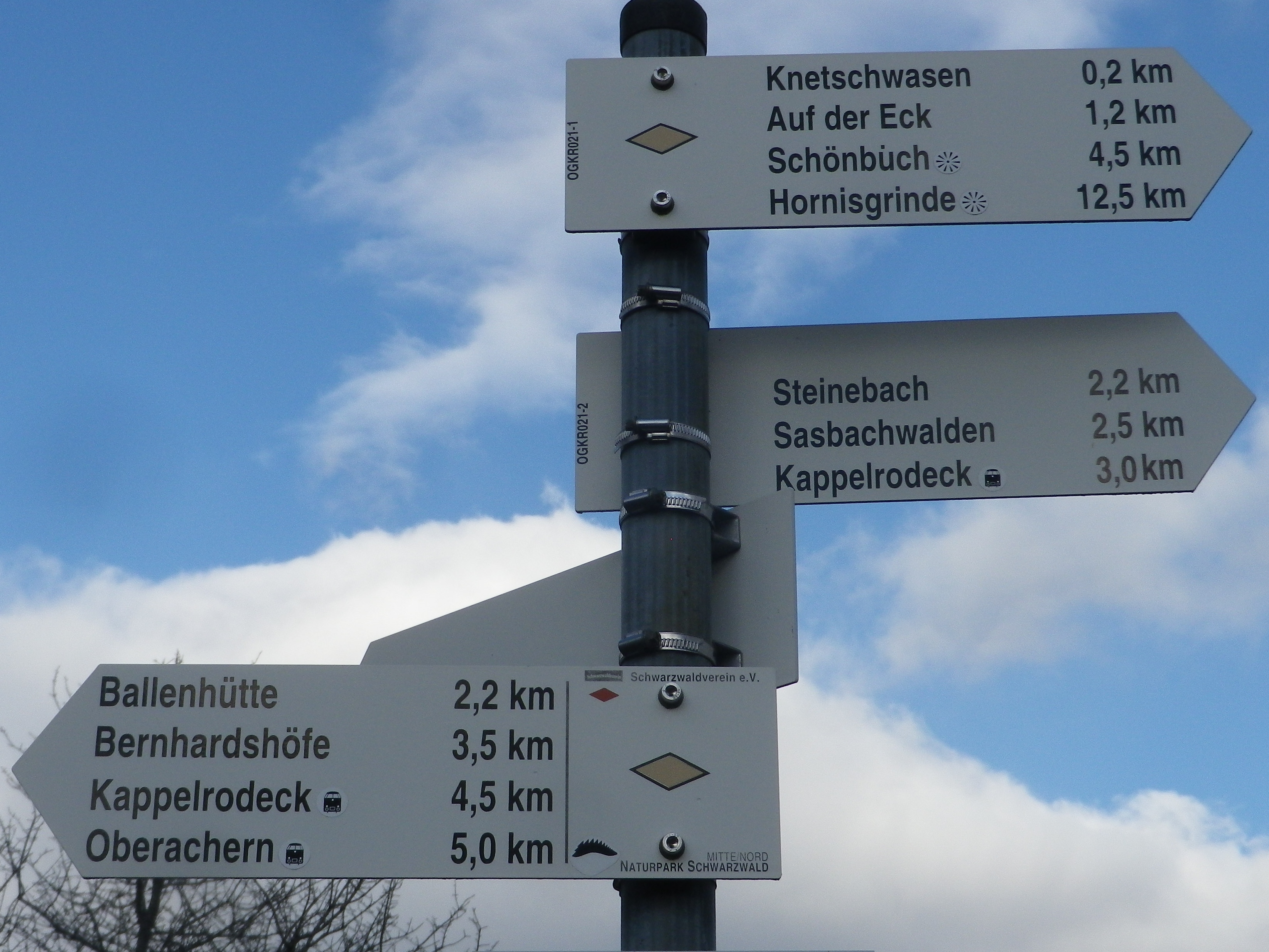
Trail Itinerary-Reference Points: (Clockwise*)
Kappelrodeck: Hauptstr, Trompeterstr, Venedig, path on left over the Acher toward train station, pass under L87, Herrenmatte, Bronnmattstr, Binzigstr, Bernhardshoef, path paralleling Ruhmatt. Left toward Ballenhutte, vineyards, path along top of ridgeline heading north, vineyards to Eichwald and Knetschwasen markers, cross L86a, south along woodline, vineyard path, pass the Blosenkopf Chapel (up high on left), east on (upper) Bernhardshoef to hamlet, south on Steinebach to Steinebach marker, continue roughly east (not downhill) on Steinebach, vineyards to Ottenberg, past house fronts, woods to Ottenberg marker, vineyards to Dasenstein hut, vineyards downhill to Ibergstr,
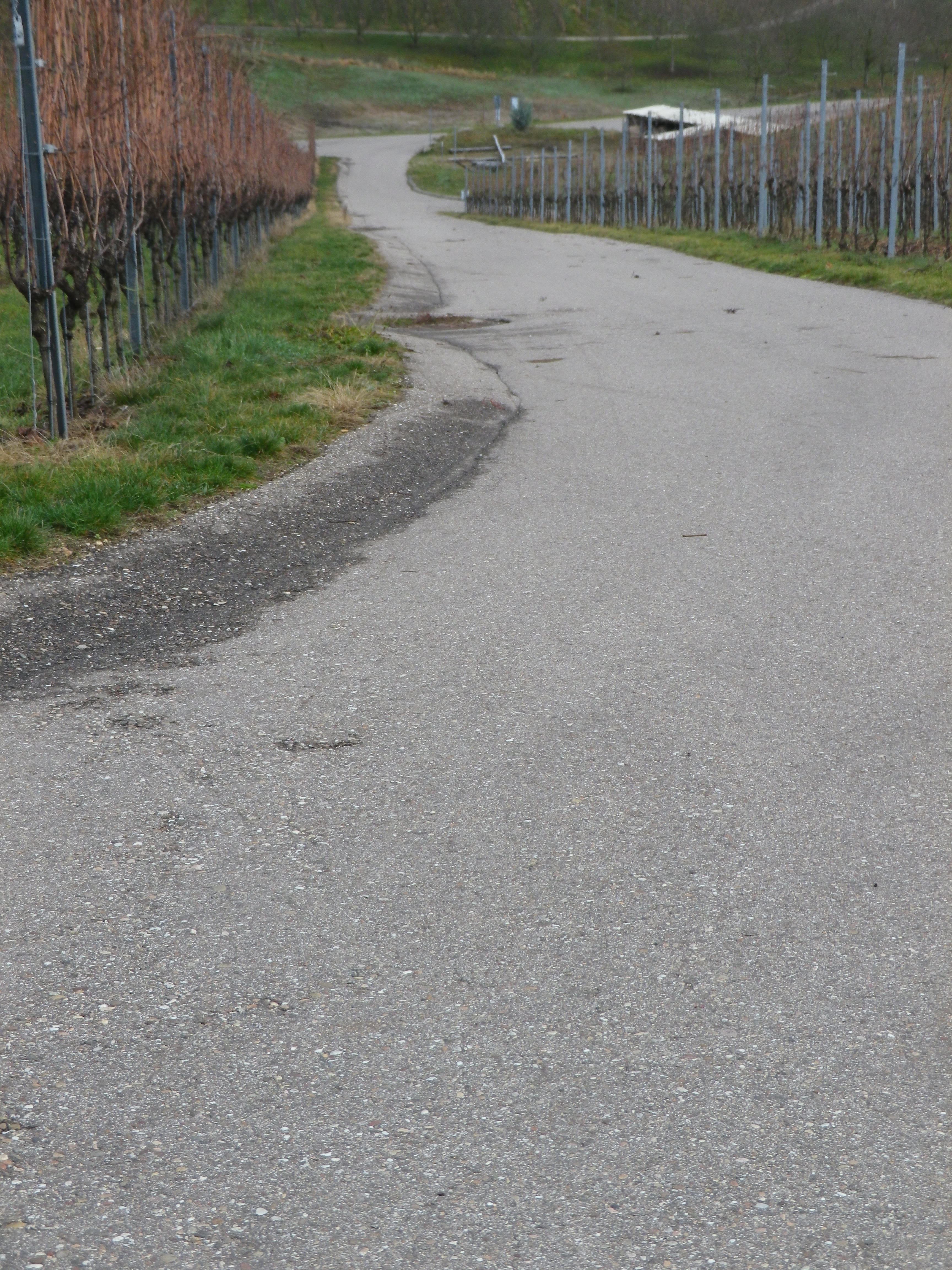
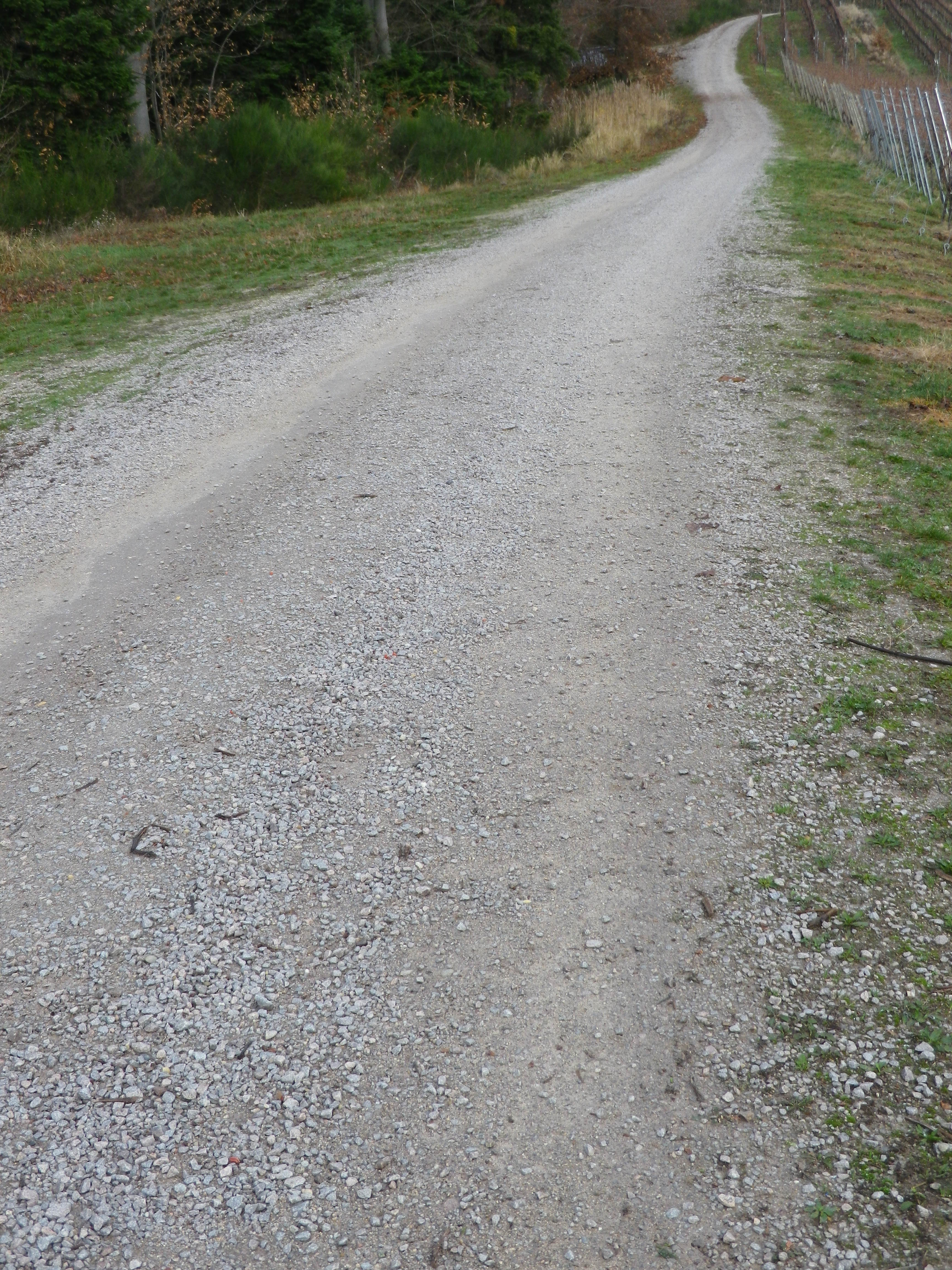
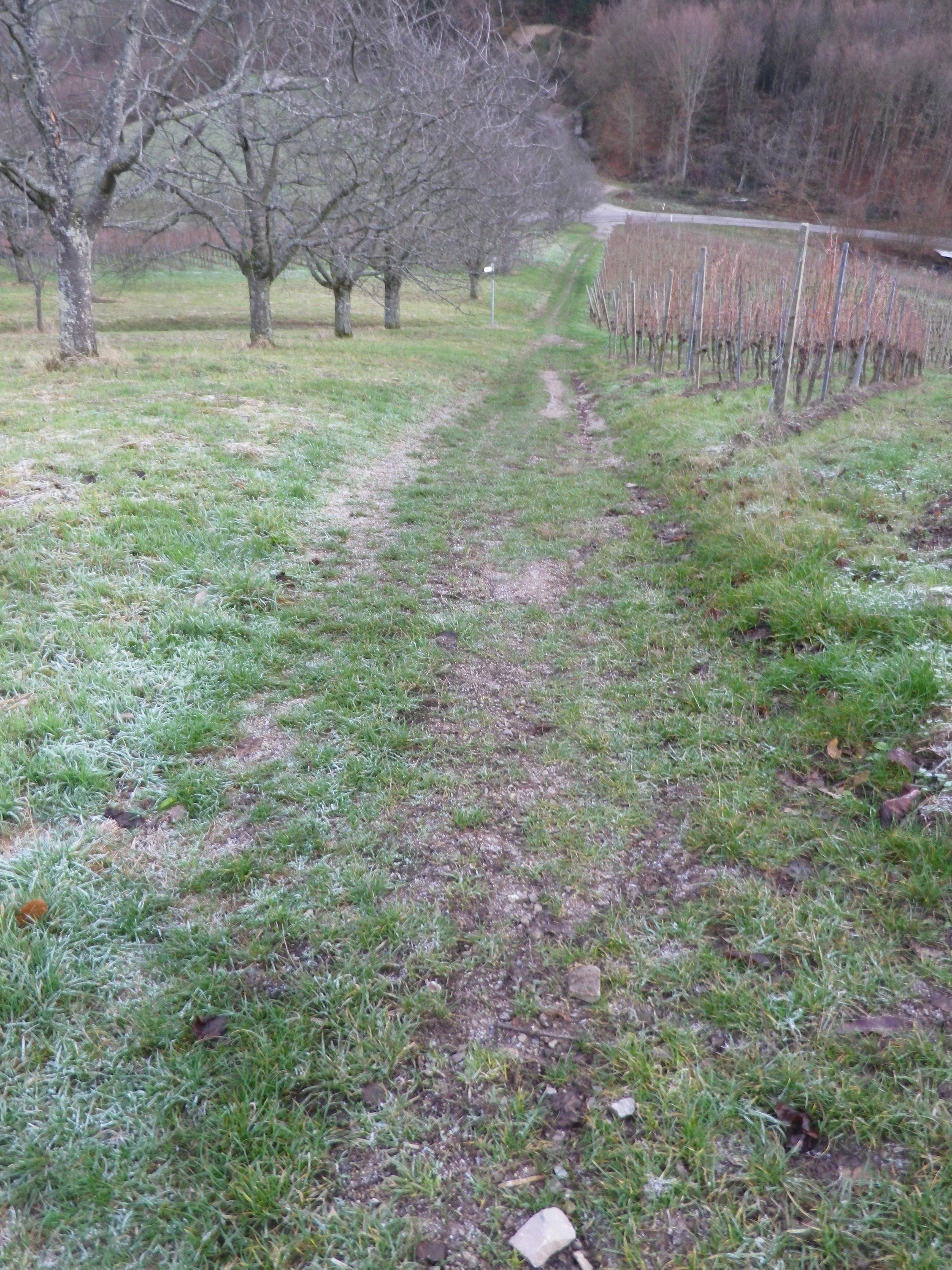
Representative Trail Photos:
Restrooms: Gemeindeverwaltung, Hauptstr, on the side of the building.
Attractions on or near Trail:
Beautiful scenery and a pleasant small town
Tasting/Purchasing along the Trail:
Kappelrodeck: Hex vom Dasenstein Winzergenossenschaft
Waldulm: Waldulmer Winzergenossschaft
Alternative Options:
Hiking:
Weinwanderung rund um das Rotweindorf, a 14.4-kilometer-long circuit hike circling Kappelrodeck and Waldulm, more scenic, and longer and steeper than the trail above.
Waldulmer Weinwander Rundweg; an easy seven-kilometer circuit trail around Waldulm, beginning and ending at the Waldulmer Winzergenossschaft. Allegedly baby carriage and wheel-chair accessible, but no reviews, maps or GPS coordinates available online as of January 2022 to confirm.
Biking: Weinsagen Tour, a mid-difficulty 40.5-kilometer cycling circuit itinerary through villages and vineyard in the area around Kappelrodeck and Oberkirch, through a wide variety of landscapes, on a variety of surfaces, and with some steep hills. See the Nutshell here.
Additional Information:
Regional: https://www.ortenau-tourismus.de/
Trail specific: https://www.outdooractive.com/de/route/wanderung/schwarzwald/kappelrodeck-durch-die-weinberge-offizielle-tour-/63087537/
Comments:
*The official route proceeds counterclockwise, but I went clockwise
Some, but not much shade at all along the trail.